Discover the beauty of the English countryside through leisurely rides in Clenchwarton.
Cycling routes from Clenchwarton
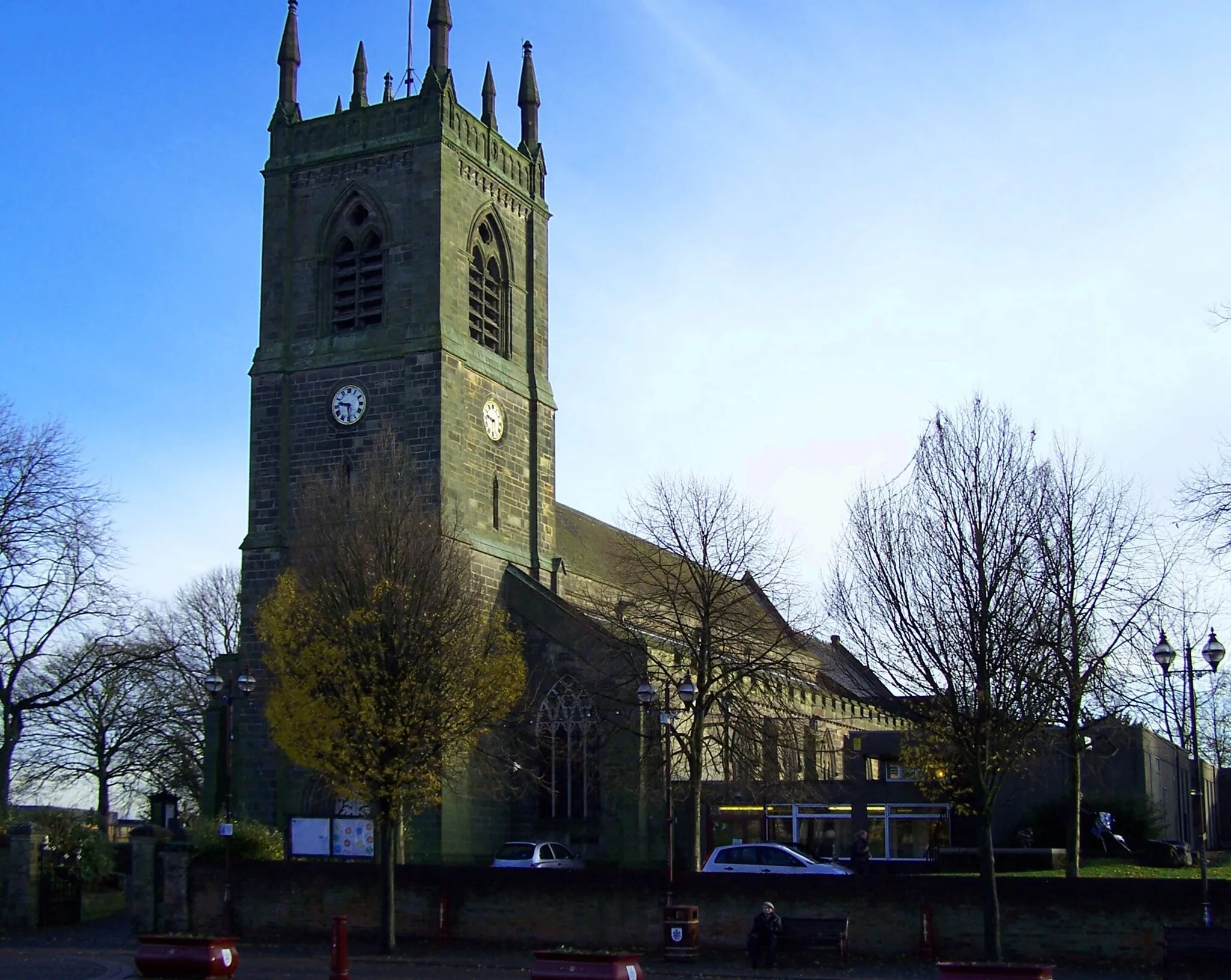
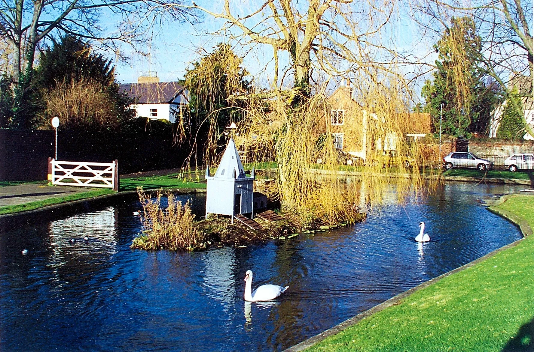
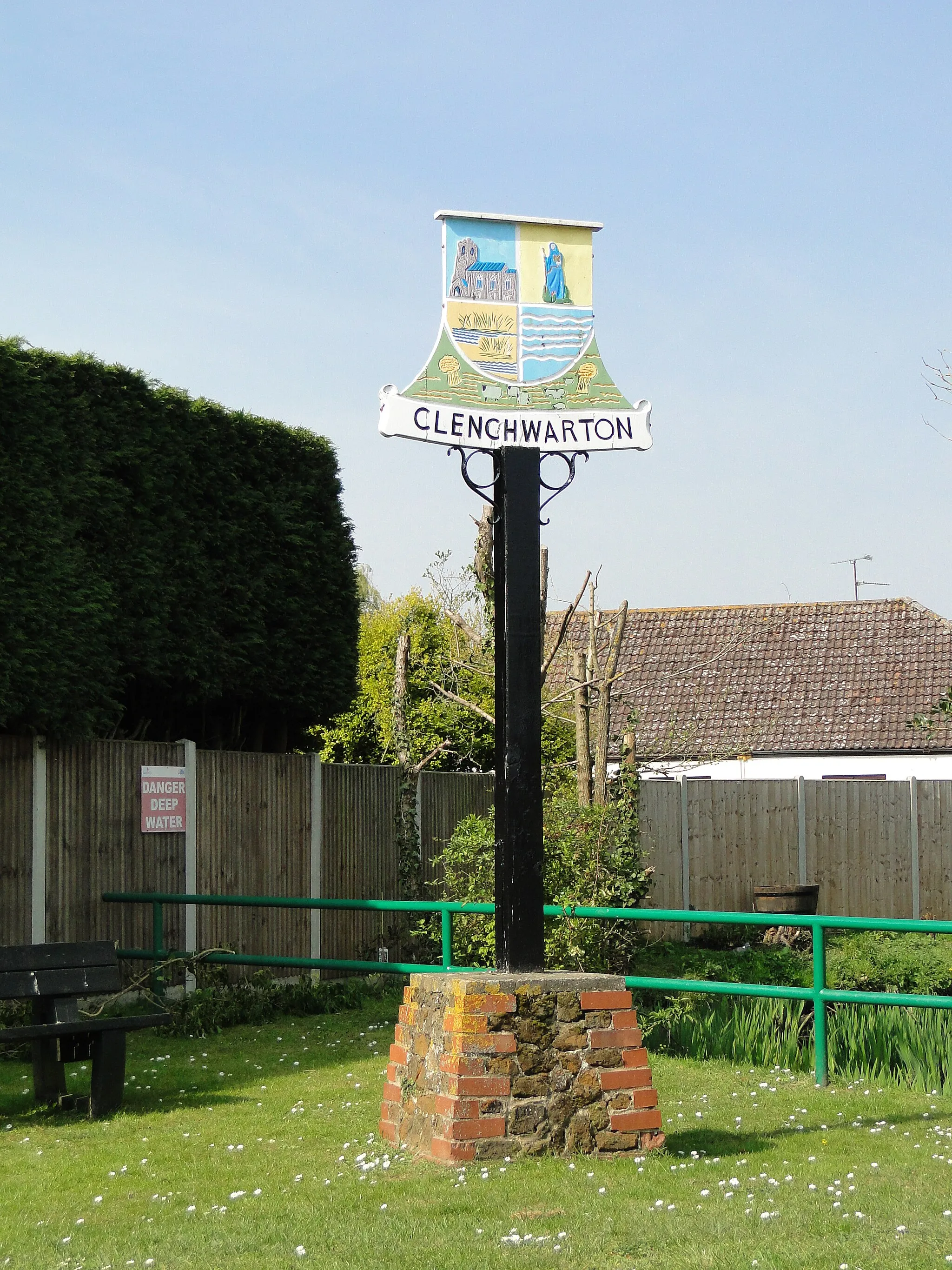
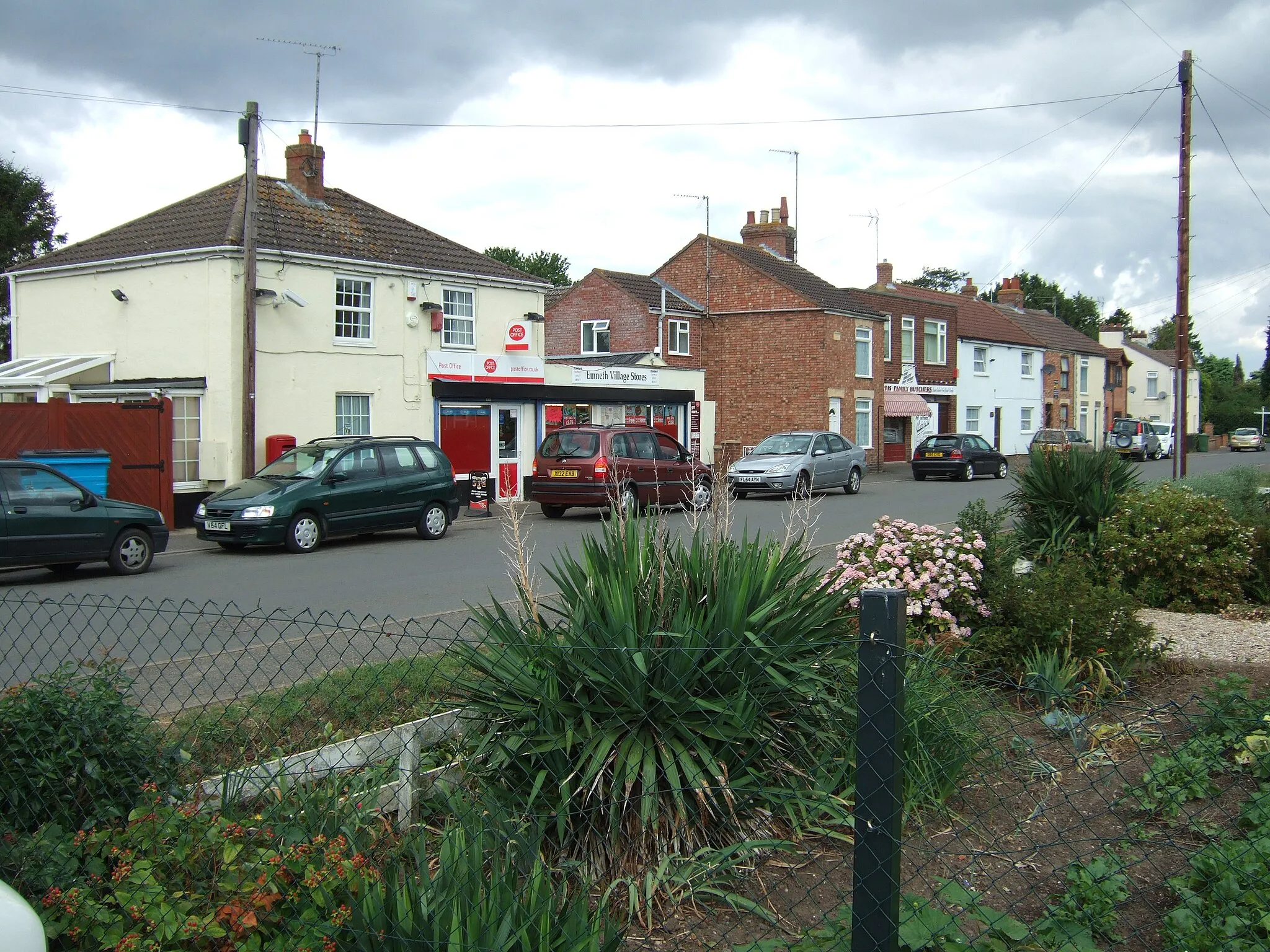
Clenchwarton, located in East Anglia, United Kingdom, is a charming locality that offers great opportunities for both road and gravel cycling. The region is characterized by picturesque landscapes, with rolling fields and scenic countryside roads that are perfect for leisurely rides. One key attraction for cyclists in Clenchwarton is the nearby town of King's Lynn, which offers a variety of cycling routes and plenty of facilities for riders. With its moderate difficulty level and peaceful surroundings, Clenchwarton is an ideal destination for leisure cyclists looking to enjoy a relaxing ride in the English countryside.
Explore picturesque villages and beautiful landscapes on this road cycling route from Clenchwarton back to Clenchwarton.
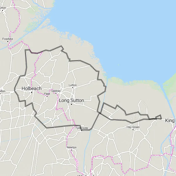
This round-trip road cycling route covers a distance of 85 km and involves a cumulative ascent of 12 m. Suitable for cyclists of all levels, this route allows you to experience the beauty of Norfolk's countryside. Along the way, don't miss the highlights, such as Terrington St Clement, Sutton St James, Holbeach St Marks, Gedney Drove End, Sutton Bridge, and Clenchwarton.
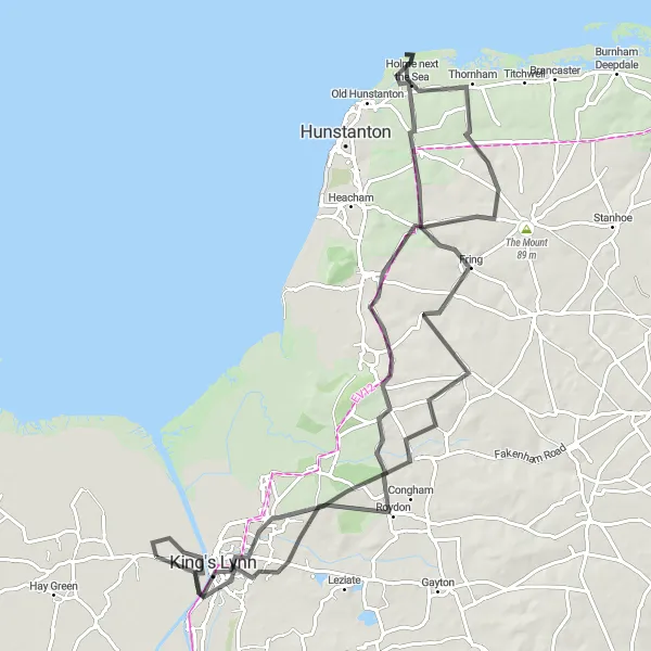
Embark on a challenging 92km road cycling adventure exploring the beautiful Clenchwarton area.
Get ready for a challenging 92km road cycling adventure through the scenic Clenchwarton area. With a total ascent of 489m, this route is recommended for experienced cyclists looking for a demanding ride. Highlights along the way include King's Lynn, Shernborne, Holme next the Sea, Sandringham, and Clenchwarton. Enjoy the breathtaking views and picturesque landscapes as you discover the beauty of this hidden gem in East Anglia.
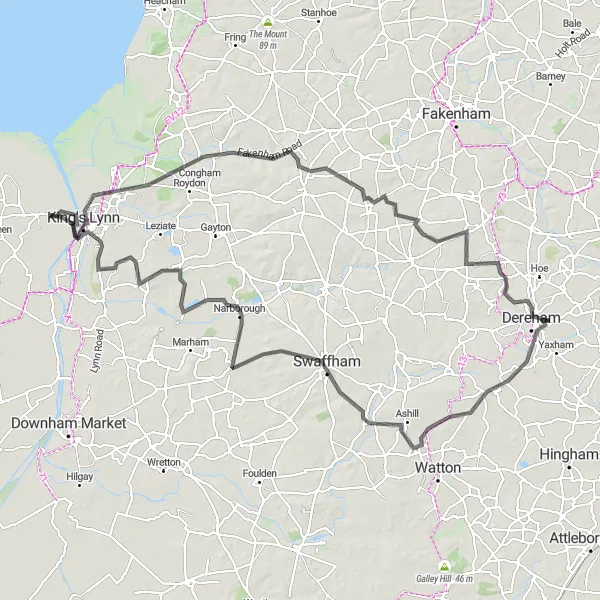
Embark on a scenic road cycling journey from Clenchwarton to King's Lynn and discover the charm of Norfolk.
Take on the challenge of this 112 km road cycling route from Clenchwarton to King's Lynn. With a cumulative ascent of 391 m, this route is suitable for experienced cyclists. As you pedal your way through picturesque landscapes, make sure to appreciate the highlights along the way, including Hillington, Mileham, Bradenham, Swaffham, Pentney, North Runcton, and West Lynn.
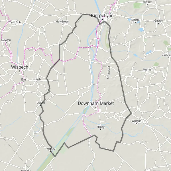
Enjoy a leisurely cycling journey from Clenchwarton to West Winch, exploring charming villages and scenic landscapes.
Explore the Norfolk countryside with this leisurely road cycling route from Clenchwarton to West Winch. With a distance of 84 km and an ascent of 92 m, this route is suitable for cyclists seeking a relaxed biking experience. Take time to appreciate the highlights along the way, including Wereham, Southery, Welney, Outwell, and Tilney St Lawrence.
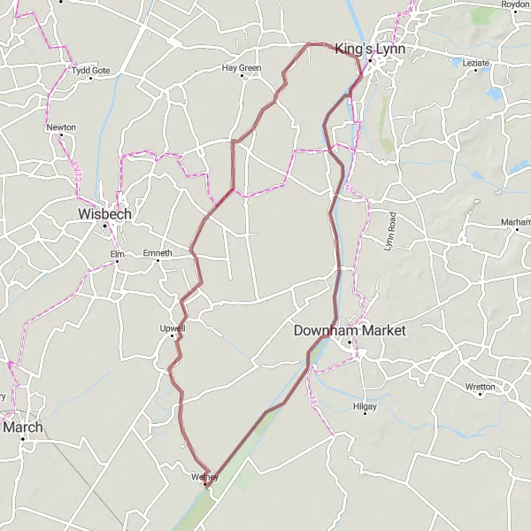
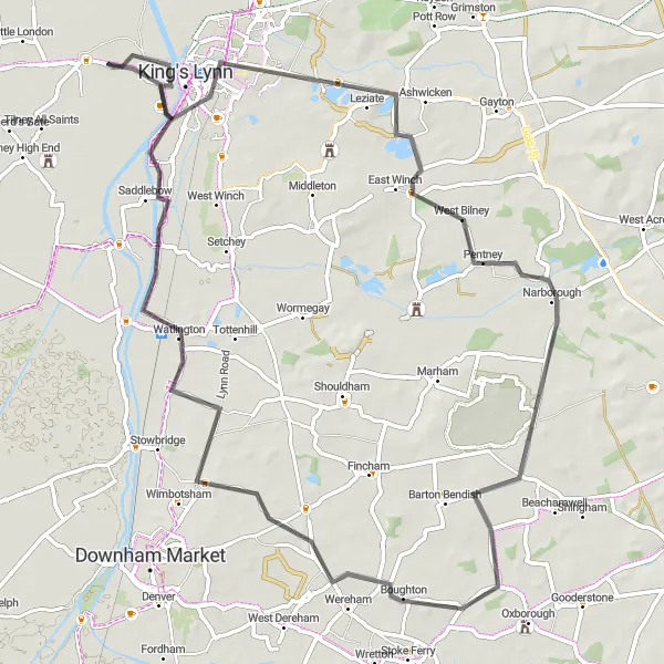
Experience the beauty of Norfolk's countryside on this picturesque gravel cycling route from Clenchwarton to Wiggenhall St Germans.
Immerse yourself in the scenic beauty of Norfolk with this gravel cycling route from Clenchwarton to Wiggenhall St Germans. Covering a distance of 66 km and ascending 26 m, this relatively easy route is perfect for cyclists of all levels. Take a moment to enjoy highlights such as Wiggenhall St Germans, Welney, Upwell, and Tilney St Lawrence.
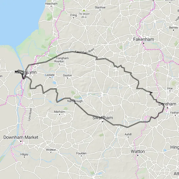
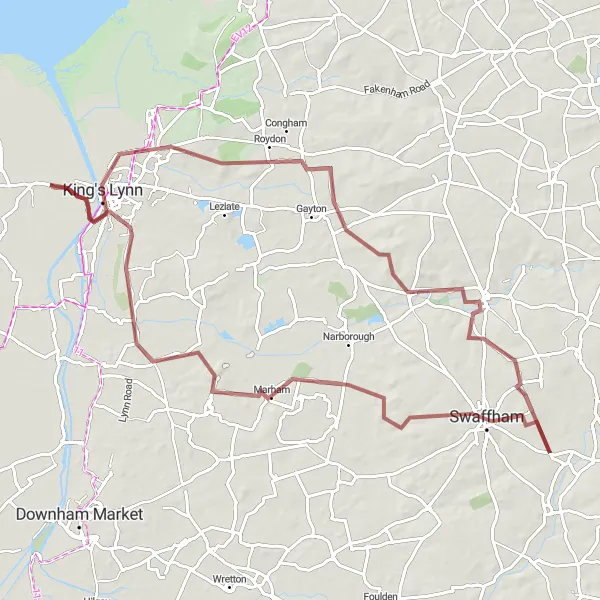
Embark on a scenic road cycling adventure from King's Lynn to Swaffham.
Cycle through the picturesque Norfolk countryside on this 128km road route. With a total ascent of 509m, this route offers a challenge for experienced cyclists.
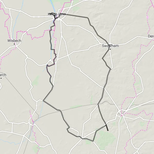
Leziate Circular Route
Explore the charming village of Leziate on this 70km road cycling adventure.
Embark on a 70km road cycling journey through the scenic East Anglian countryside. This route includes a total ascent of 126m, providing a moderate challenge for cyclists. Along the way, you will have the opportunity to visit highlights such as Leziate, Pentney, Boughton, Runcton Holme, and King's Lynn. Enjoy the peaceful atmosphere and picturesque landscapes as you pedal your way through this distinctive East Anglian route.
Embark on an off-road gravel cycling adventure through the Norfolk countryside.
Unleash your sense of adventure on this 83km gravel route through the idyllic Norfolk countryside. With a total ascent of 369m, this challenging route is suitable for experienced gravel riders.
East Anglian Loop
Embark on a challenging 150km road cycling loop through breathtaking East Anglian landscapes.
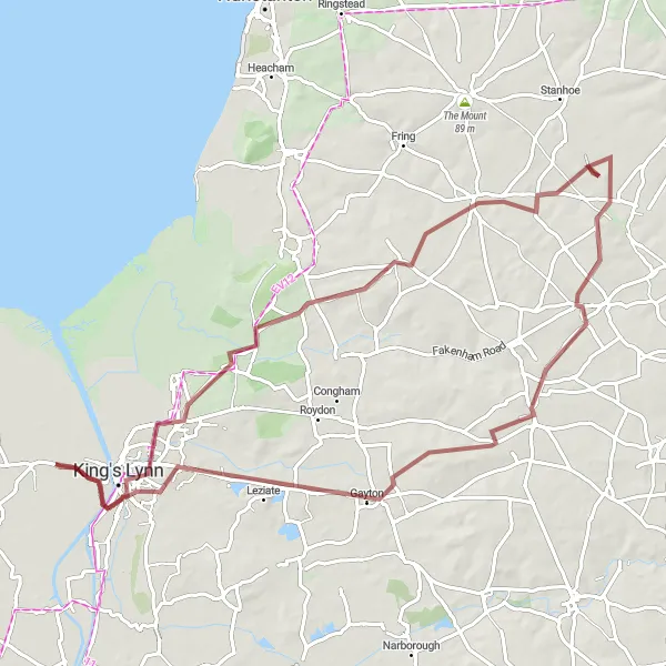
Get ready for an epic East Anglian adventure with this 150km road cycling loop. With a total ascent of 452m, this route is recommended for experienced cyclists seeking a challenging ride. Along the way, you'll pass through highlights such as Gayton, Swaffham, Mundford, Brandon, Mildenhall, Kenny Hill, Black Horse Drove, Downham Market, and King's Lynn. Experience the diverse landscapes and rich cultural heritage of the region as you pedal your way through this memorable route.
Embark on an exciting gravel adventure to the famous Sandringham estate.
Get ready for an exhilarating gravel adventure on this 75km route across East Anglia. With an ascent of 342m, this route provides a challenging but rewarding experience for gravel cyclists. Highlights along the way include King's Lynn, Sandringham, Syderstone, Gayton, and The Old Blubber House. Enjoy the off-road terrain and discover the natural beauty of the region.
Cycling routes nearby:


Nearby regions: