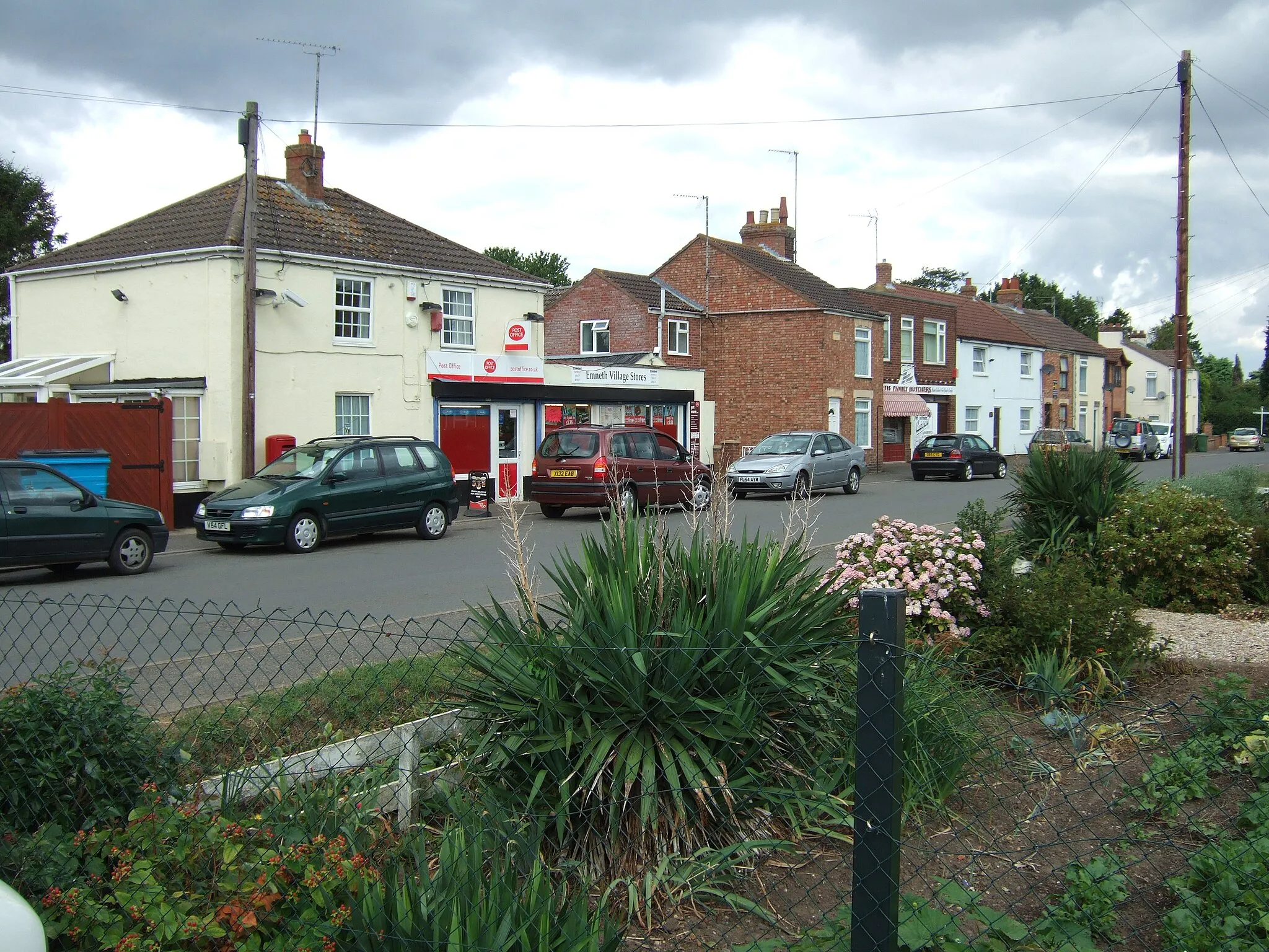
Serene and relaxed cycling environment awaits in Emneth.
Cycling routes from Emneth
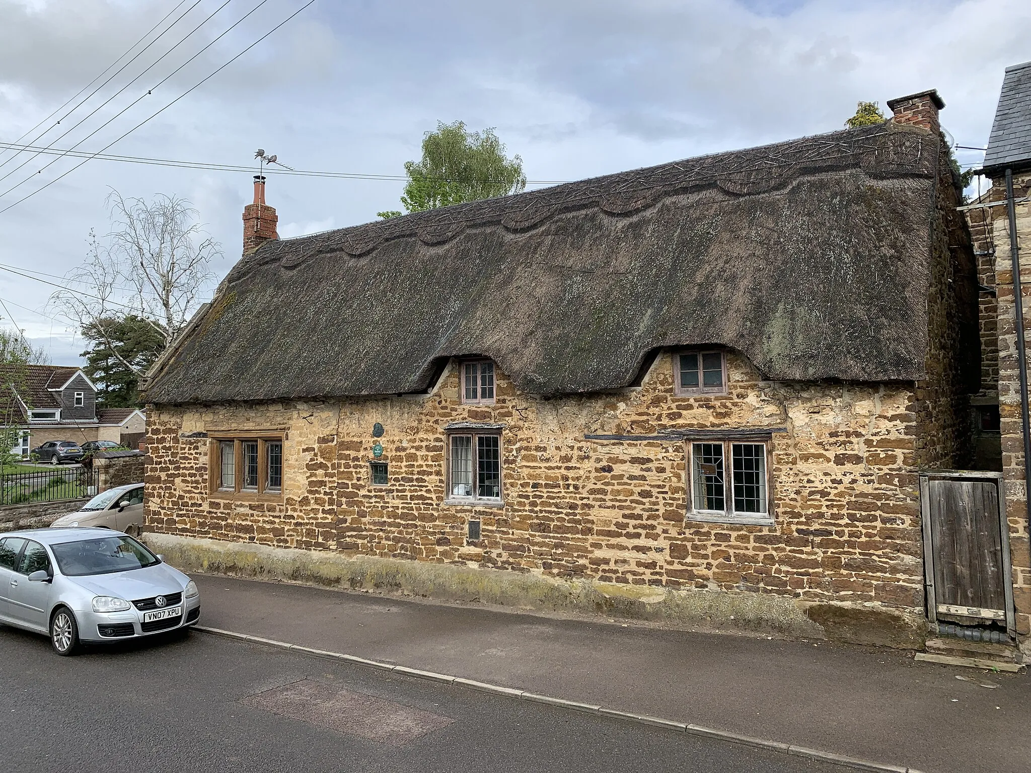
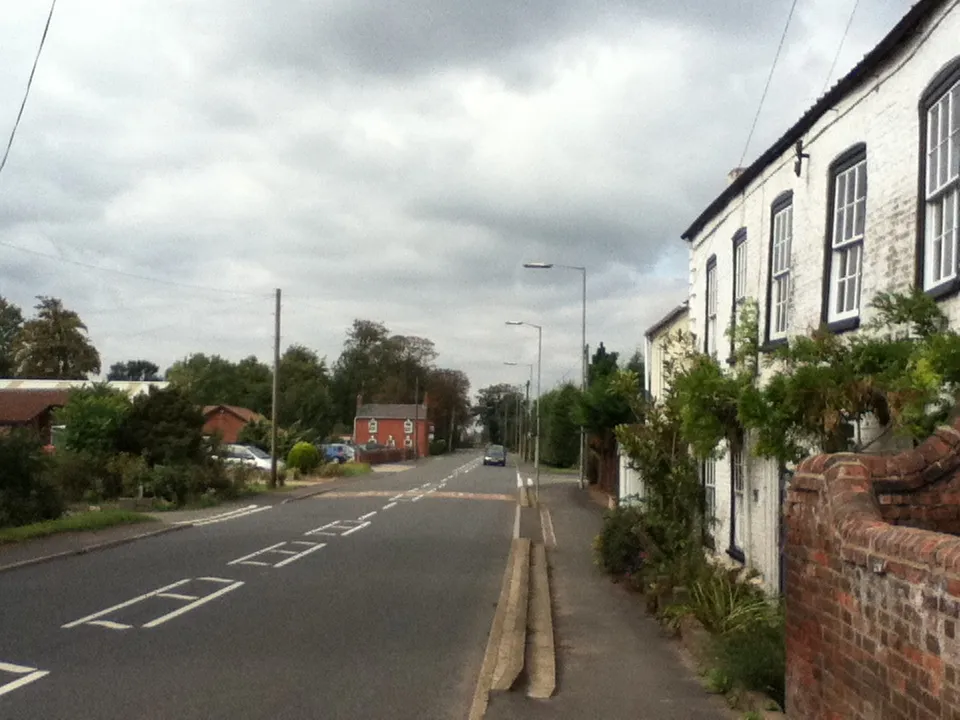
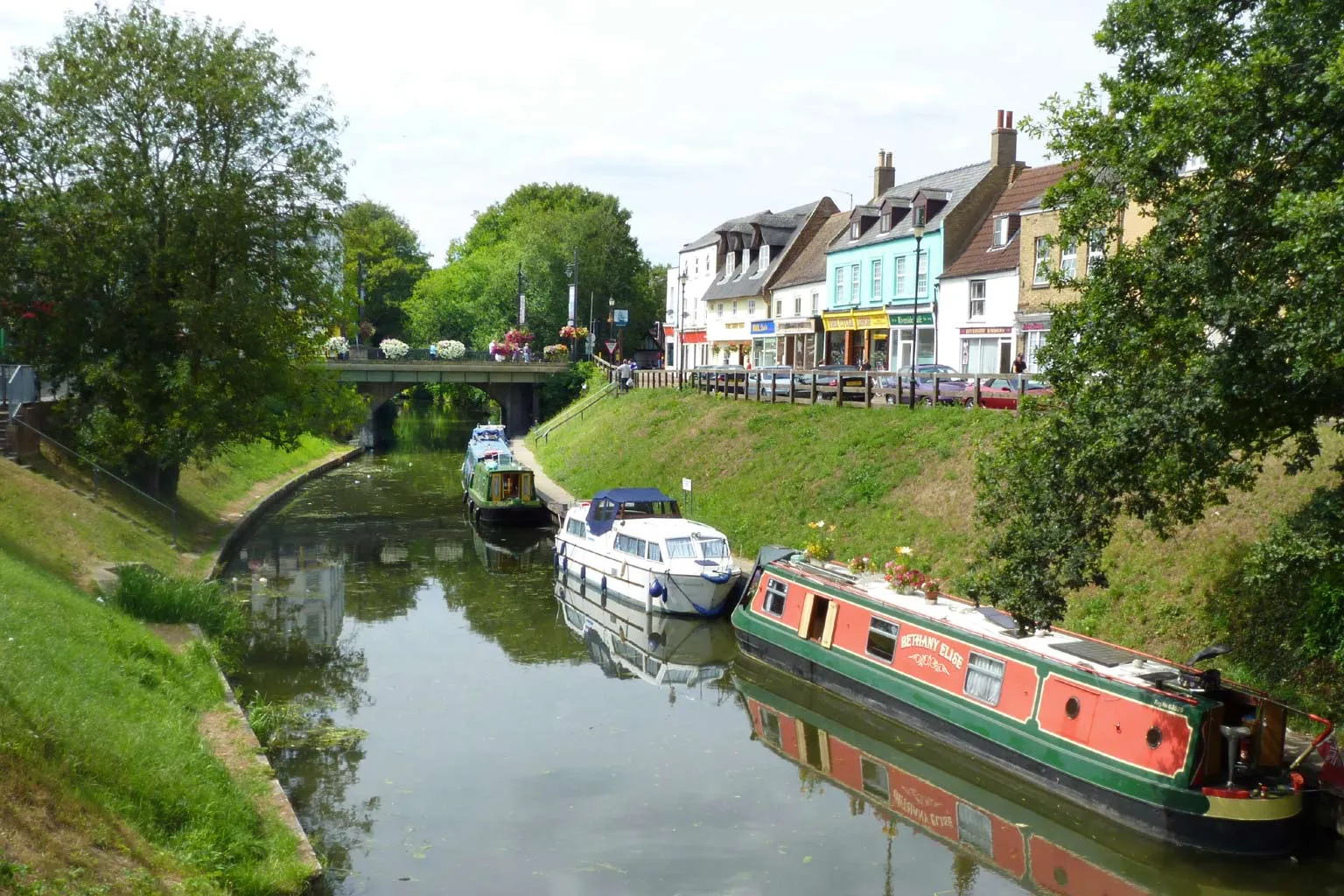
Emneth is a town located in East Anglia, United Kingdom, offering a moderate cycling experience. The region provides mainly on-road cycling opportunities, with flat to rolling terrain. While Emneth does not have any specific renowned cycling-related spots, it offers scenic countryside views and peaceful rides. The town is surrounded by quaint villages and beautiful landscapes, making it an enjoyable destination for leisurely cycling. Overall, Emneth provides a serene and relaxed cycling environment.
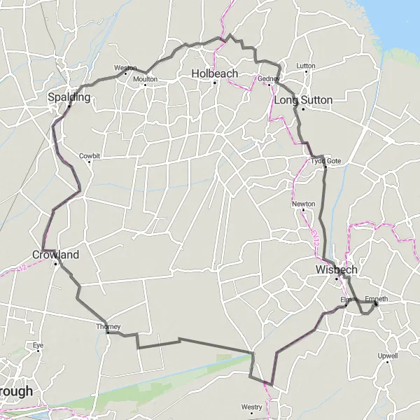
Elm to Wisbech Road Journey
Discover the charm of rural East Anglia on this road cycling journey
This road cycling route from Elm to Wisbech offers scenic countryside views and the opportunity to explore historic towns and villages. With a total distance of 100 km and a moderate level of difficulty, it is suitable for experienced riders looking for a longer adventure. Highlights include the picturesque village of Elm, with its traditional houses and beautiful landscapes, and Thorney Toll, a small village known for its rich agricultural heritage.
Discovering the Fenlands
A challenging road cycling route through the scenic Fenlands
Discovering the Fenlands is a challenging road cycling route that spans 96 kilometers with a total ascent of 136 meters. The route takes cyclists through Watlington, Boughton, Methwold, Brandon Bank, Welney, and Three Holes, offering breathtaking views of the famous Fenlands. With its flat terrain and wide open spaces, this route is perfect for cyclists looking for long and uninterrupted rides. Cyclists can experience the unique landscape of the Fenlands, which is characterized by its rich biodiversity and expansive fields.
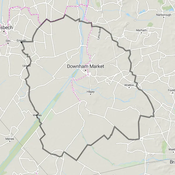
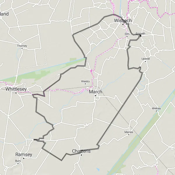
The Elm Loop
A scenic road cycling route with beautiful views
The Elm Loop is a picturesque road cycling route that takes you through the charming village of Elm. With a total distance of 70 kilometers and an ascent of 27 meters, this route is suitable for intermediate cyclists. The route also passes through Coates, Thorney, Gorefield, and Wisbech, offering a glimpse of the vibrant countryside and historic landmarks along the way. Cyclists can enjoy the peacefulness of rural East Anglia while staying active and exploring the region's natural beauty.
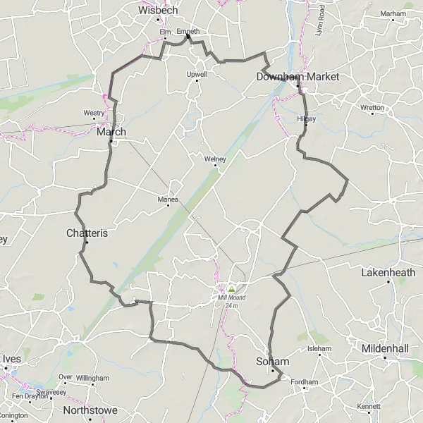
An adventurous road cycling route through the diverse Fenland landscape
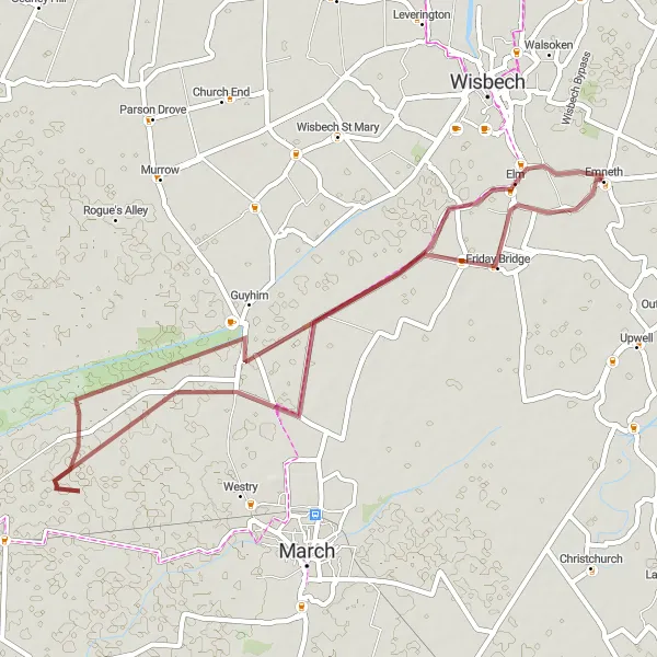
Fenland Adventure is an adventurous road cycling route that spans 127 kilometers with a total ascent of 173 meters. This route takes cyclists through Downham Market, Brandon Bank, Soham, Stretham, Chatteris, March, and Friday Bridge, offering a diverse and captivating Fenland experience. With its varied terrain and scenic landscapes, this route is suitable for experienced cyclists looking for an exciting challenge. Along the way, cyclists can admire the unique beauty of the Fenland, from vast open fields and waterways to charming market towns and historic villages.
Emneth Hungate Gravel Adventure
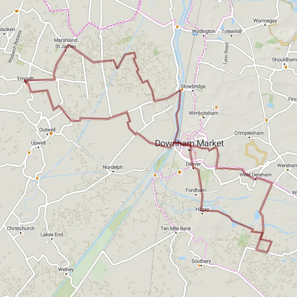
Embark on an exciting gravel adventure around Emneth Hungate
This gravel route starting near Emneth Hungate offers a diverse landscape with scenic views of the East Anglian countryside. With a total distance of 65 km, cyclists can expect to encounter some challenging sections, making it suitable for intermediate riders. Highlights include Downham Market, a market town with a rich heritage, and West Dereham, a historic village known for its medieval church.
Take on a challenging road cycling route around Emneth Hungate
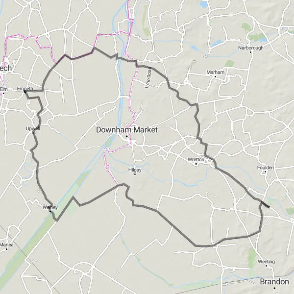
This road cycling route starting near Emneth Hungate offers a challenging and scenic adventure through the East Anglian countryside. With a total distance of 121 km and a significant ascent of 435 meters, this route is suitable for experienced riders looking for a challenge. Highlights include Emneth Hungate, an idyllic village on the banks of the Great Ouse River, and Stradsett, a charming village with historic buildings and gardens.
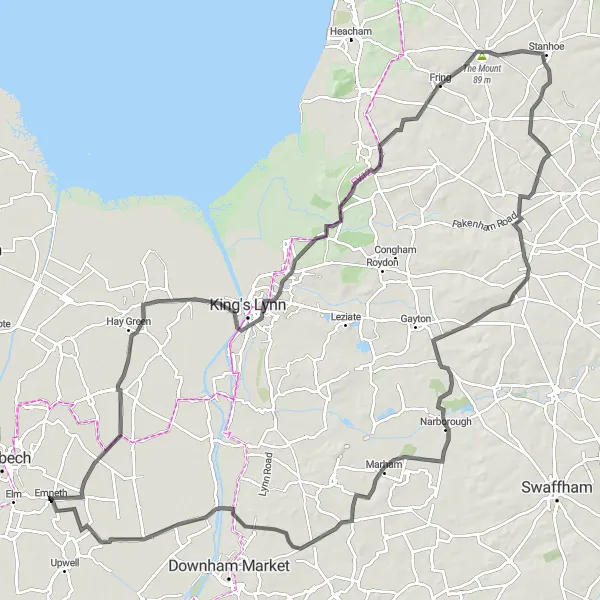
The West Acre Challenge
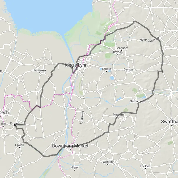
A hilly road cycling route with stunning views
The West Acre Challenge is a challenging road cycling route that covers a distance of 103 kilometers and includes a total ascent of 401 meters. This route takes cyclists through Tilney All Saints, Greyfriars Tower, Harpley, West Acre, and Nordelph, offering stunning views of the countryside and picturesque villages. With its hilly terrain, this route is suitable for experienced cyclists looking for a challenging ride. Along the way, cyclists can enjoy the beauty of the Norfolk countryside and immerse themselves in the rich history of the region.
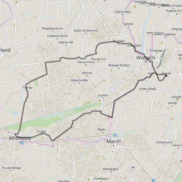
Wisbech Road Adventure
Embark on an adventurous road cycling journey from Emneth to Wisbech
This road cycling route from Emneth to Wisbech offers a diverse mix of flat countryside roads and charming historic towns. With a total distance of 92 km, cyclists can expect a moderate level of difficulty, with some gentle climbs along the way. Highlights include the iconic Friday Bridge, a medieval toll bridge over the River Nene, and the historic market town of Chatteris.
Explore the quiet countryside roads around Elm
This circular gravel route takes you through the picturesque countryside near Emneth, with highlights including the quaint village of Elm and the historic Rings End. The route offers a relatively easy ride with minimal ascent, making it suitable for beginners and leisure cyclists. With a distance of 42 km, it is a perfect option for a half-day cycling adventure.
The Fens Explorer
A scenic road cycling route through the flatlands of the Fens
The Fens Explorer is a scenic road cycling route that spans 96 kilometers with a total ascent of 135 meters. This route takes cyclists through Watlington, Boughton, Feltwell, Southery, Welney, and Three Holes, offering uninterrupted views of the famous Fens. With its flat terrain and wide open spaces, this route is perfect for cyclists looking to escape the hustle and bustle of city life. Cyclists can enjoy the peace and tranquility of the Fens, while taking in the breathtaking views of the expansive countryside.
Cycling routes nearby:


Nearby regions: