Marholm and Thrapston Road Ride
A road cycling route starting from Glinton
Cycle through scenic villages and rolling countryside on this challenging road ride.
Map
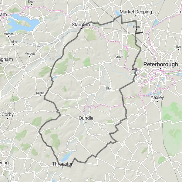
Embark on a challenging adventure through the rolling hills of East Anglia, taking in the scenic beauty of Marholm and Thrapston. This road ride covers a distance of 105 kilometers and features a total ascent of 483 meters, making it suitable for experienced road cyclists seeking a challenge. Marholm, one of the highlights along the route, is home to a beautiful historic church and offers stunning views of the surrounding countryside. Thrapston, another highlight, is a vibrant market town with a rich history and charming architecture.
road
105 km
483 m
Tough
Route profile
Highlights on the route
0 km
0 km
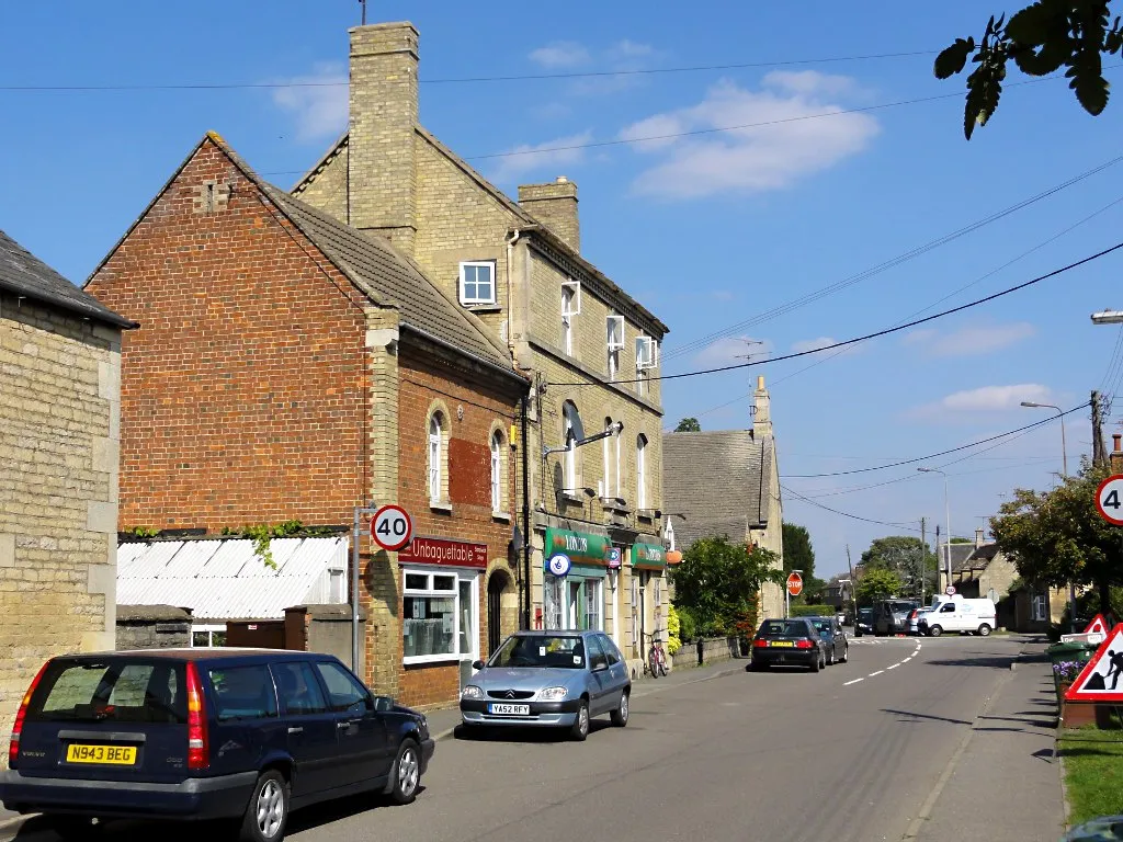
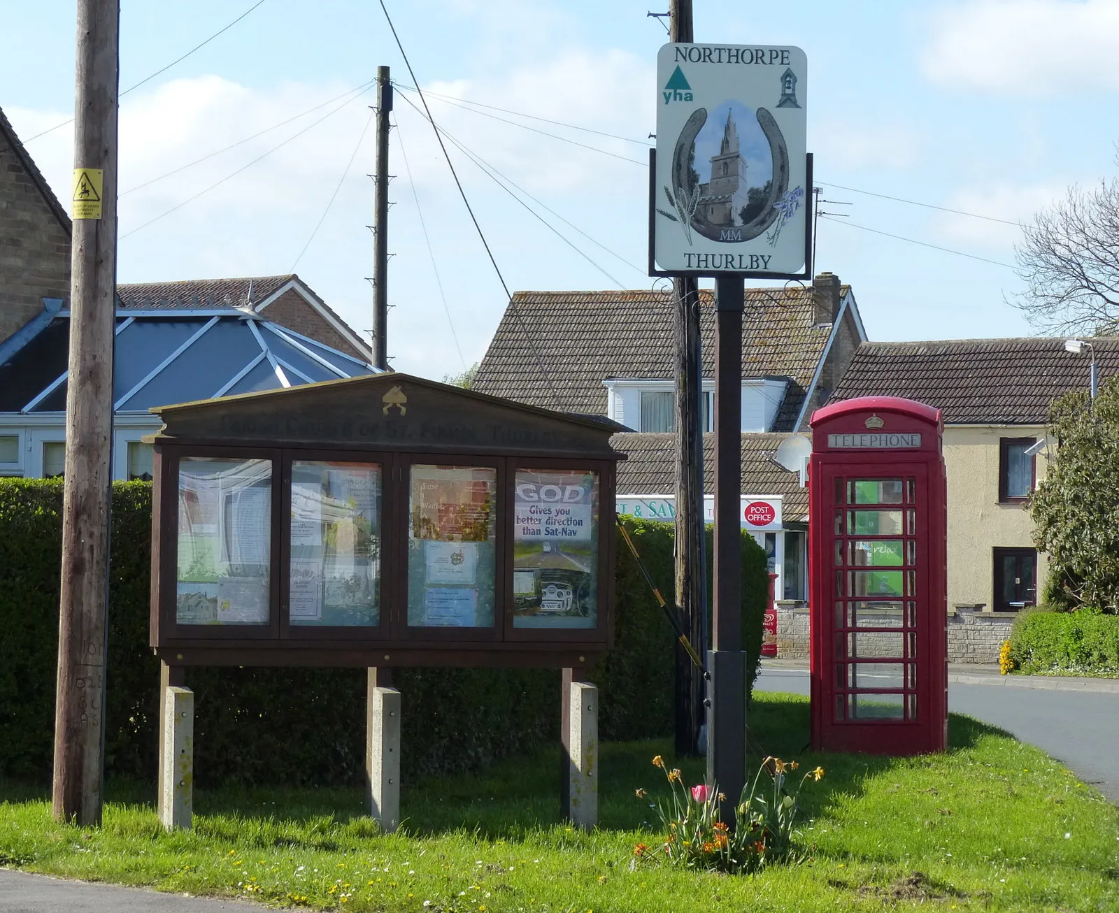
Start: Glinton Village centerGlinton: Serene Countryside Getaway and Proximity to Famous Cycling Destinations
Located in East Anglia, United Kingdom, Glinton is a cyclist-friendly locality offering pleasant road and gravel cycling routes. The rural surroundings of Glinton showcase beautiful countryside views, providing an enjoyable experience for riders. While Glinton may not have any specific cycling-related spots or notable climbs nearby, it is situated close to popular cycling destinations in the UK, such as Rutland Water and the Nene Valley. As a result, Glinton serves as an excellent base for exploring these renowned cycling locations.5 km
5 km
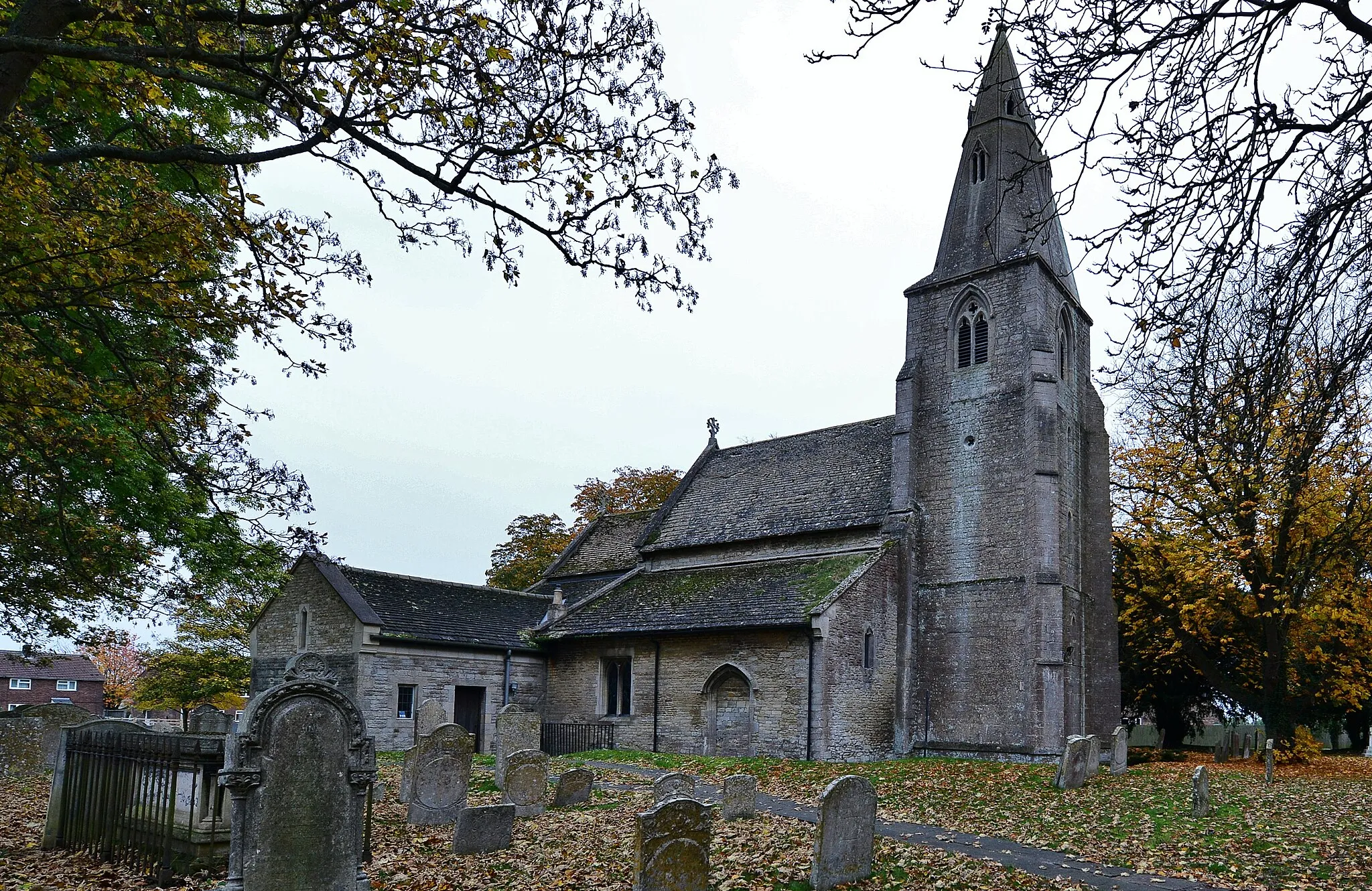
MarholmVillageMarholm is a picturesque village known for its beautiful church and scenic countryside views.
14 km
14 km
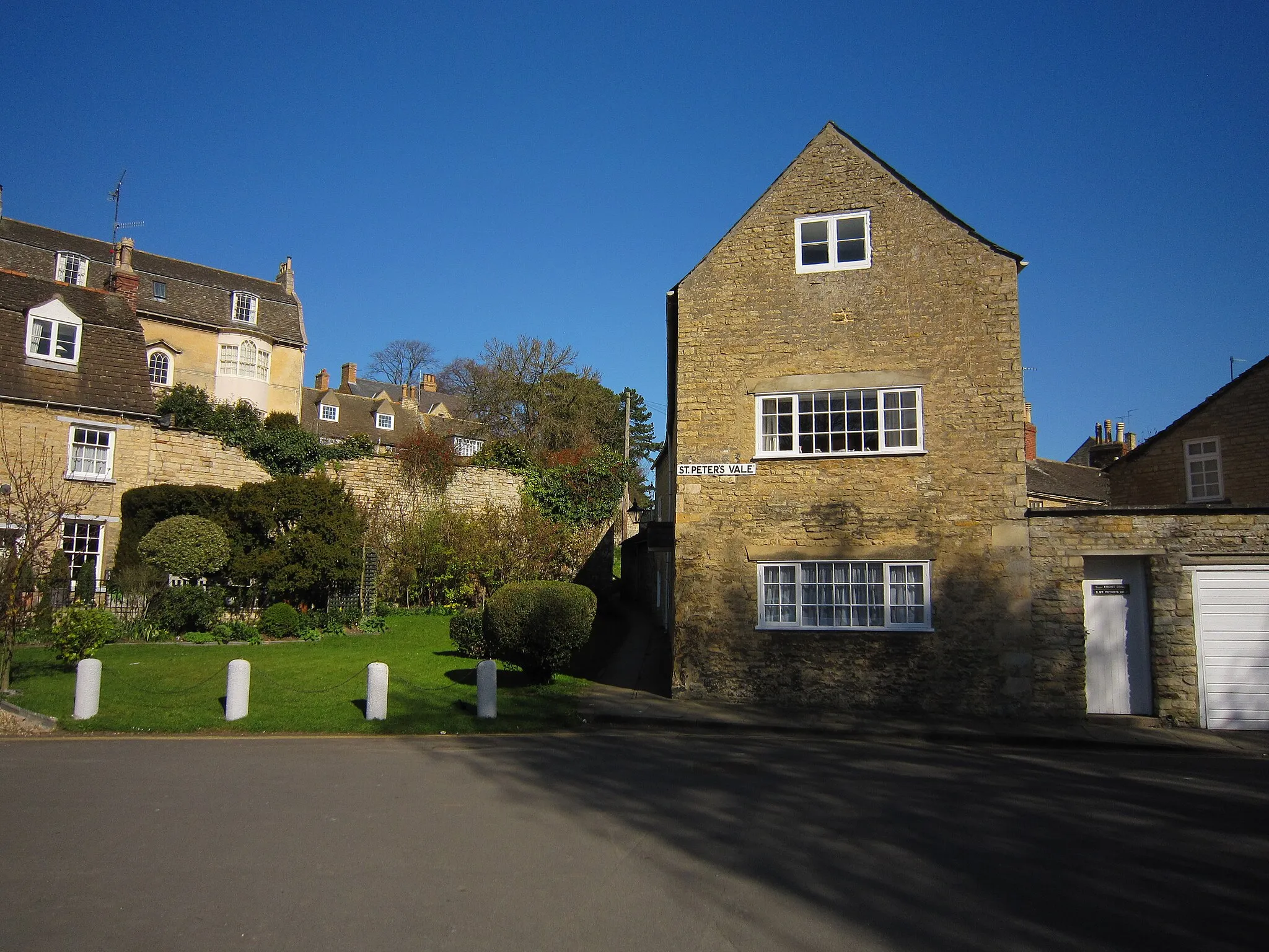
AlwaltonVillageAlwalton is a charming village with traditional stone buildings and a vibrant local community.
32 km
32 km
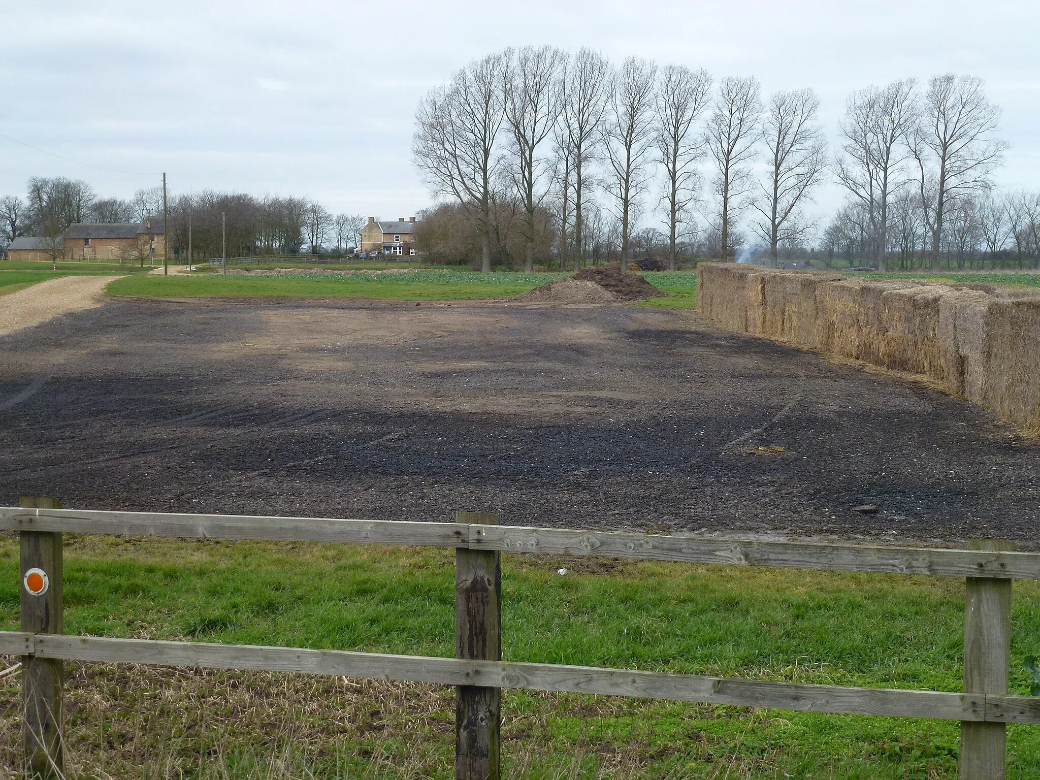
Luddington in the BrookVillageLuddington in the Brook is a tranquil village nestled in the countryside, perfect for relaxation.
47 km
47 km
ThrapstonTownThrapston is a picturesque market town with a vibrant history and a range of heritage buildings.
68 km
68 km
DeenethorpeVillageDeenethorpe is a scenic village dotted with traditional stone cottages and beautiful gardens.
81 km
81 km
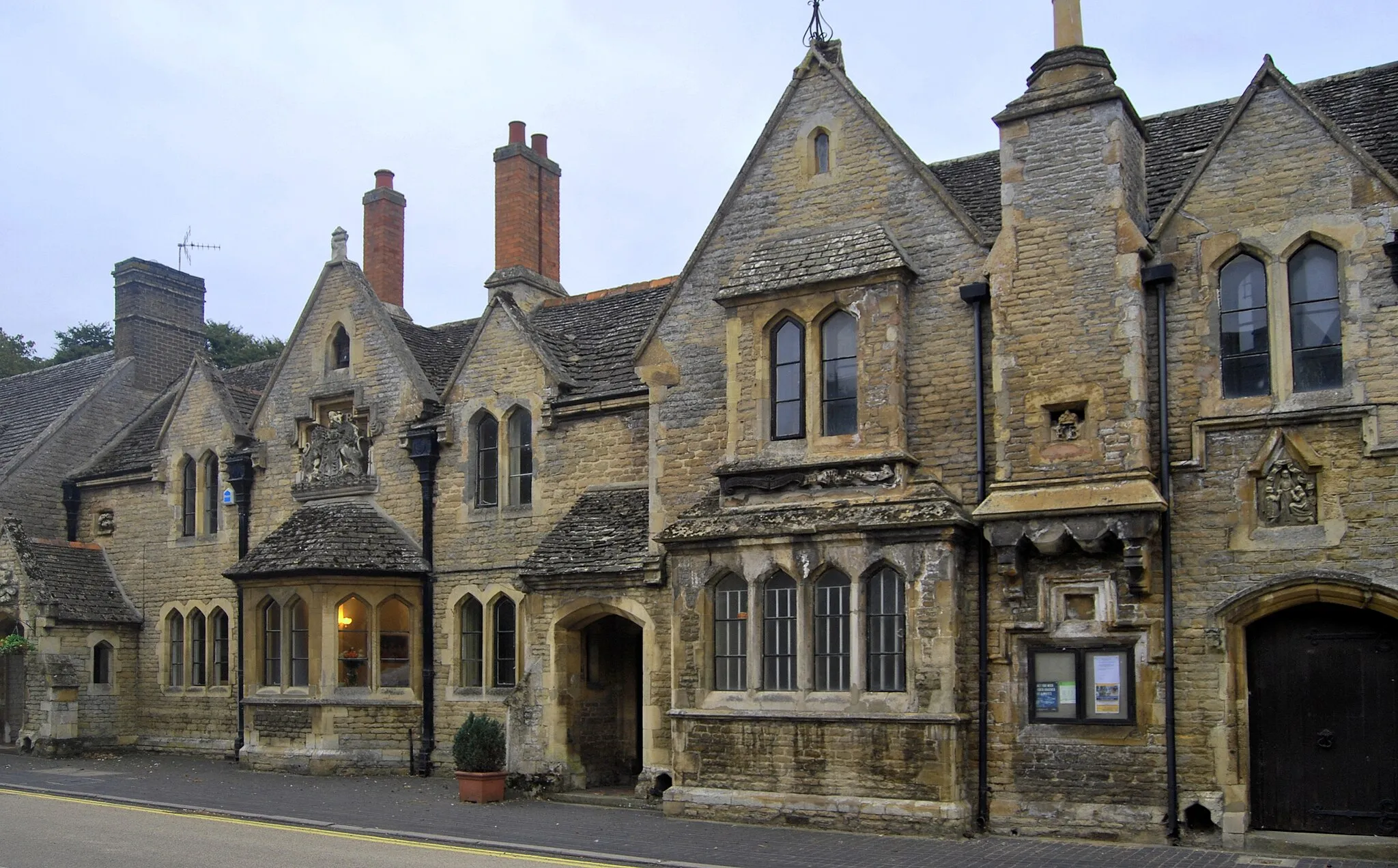
CollywestonVillageCollyweston is famous for its traditional stone buildings and historic slate mines.
97 km
97 km
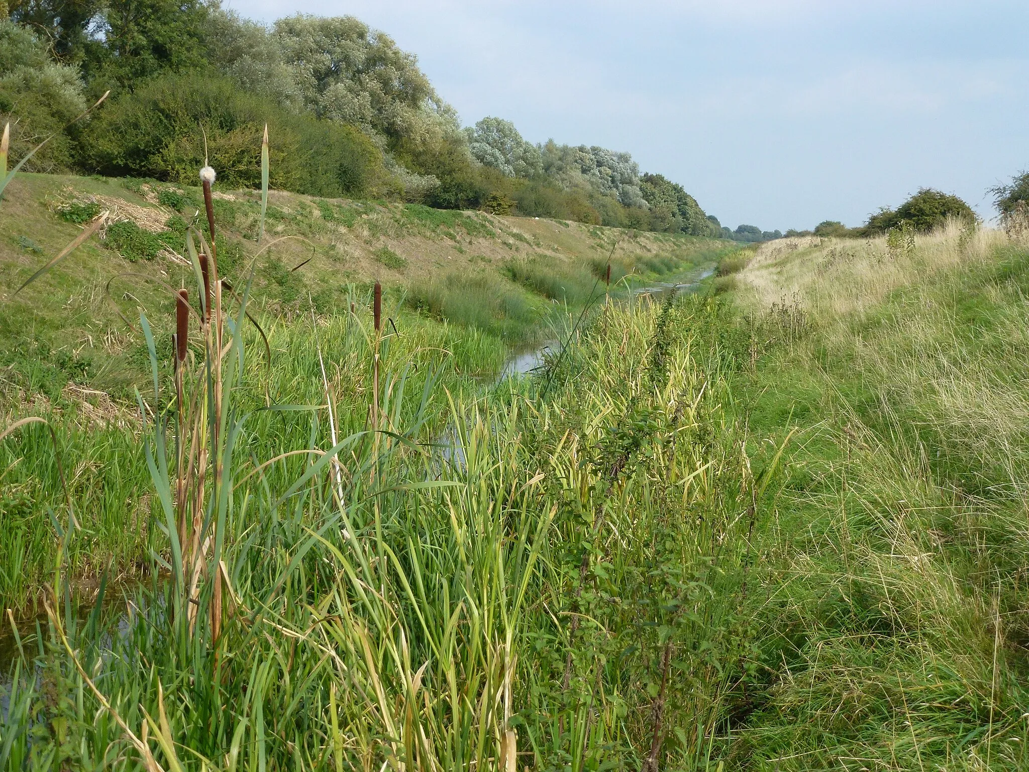
West DeepingVillageWest Deeping is a quaint village with a riverside setting and historical significance.
105 km
105 km
GlintonVillageGlinton is a charming village that still retains its old-world charm and rural character.
105 km
105 km
Finish: Glinton Village centerGlinton: Serene Countryside Getaway and Proximity to Famous Cycling Destinations
Cycling routes from Glinton:
Marholm and Thrapston Road Ride Stamford and Market Deeping Loop Bourne and Deeping Gate Road Ride Wansford and Wakerley Gravel Adventure Lyndon and Wakerley Gravel Ride Brigstock and Tixover Gravel Ride Exploring Rutland's Hidden Gems Discovering the Fenland Bourne and Sleaford Loop Rutland Villages Road Ride
Cycling routes nearby: