Historical Route around Penicuik
A road cycling route starting from Penicuik
Explore Penicuik's historical landmarks
Map
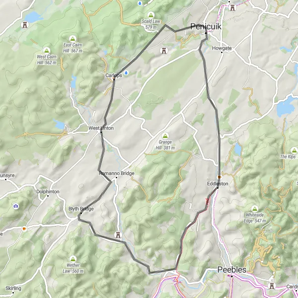
Immerse yourself in history as you cycle through Penicuik and its surrounding areas. This route takes you past mesmerizing historical landmarks, including the magnificent Drochil Castle, the Great Polish Map of Scotland, and the iconic Penicuik House. With a moderate difficulty level and a touch of epicness, this journey proves to be both educational and visually stunning, making it perfect for history enthusiasts and adventurers alike.
road
55 km
411 m
Chill
Route profile
Highlights on the route
0 km
0 km
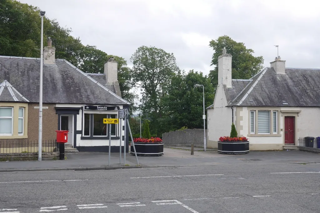
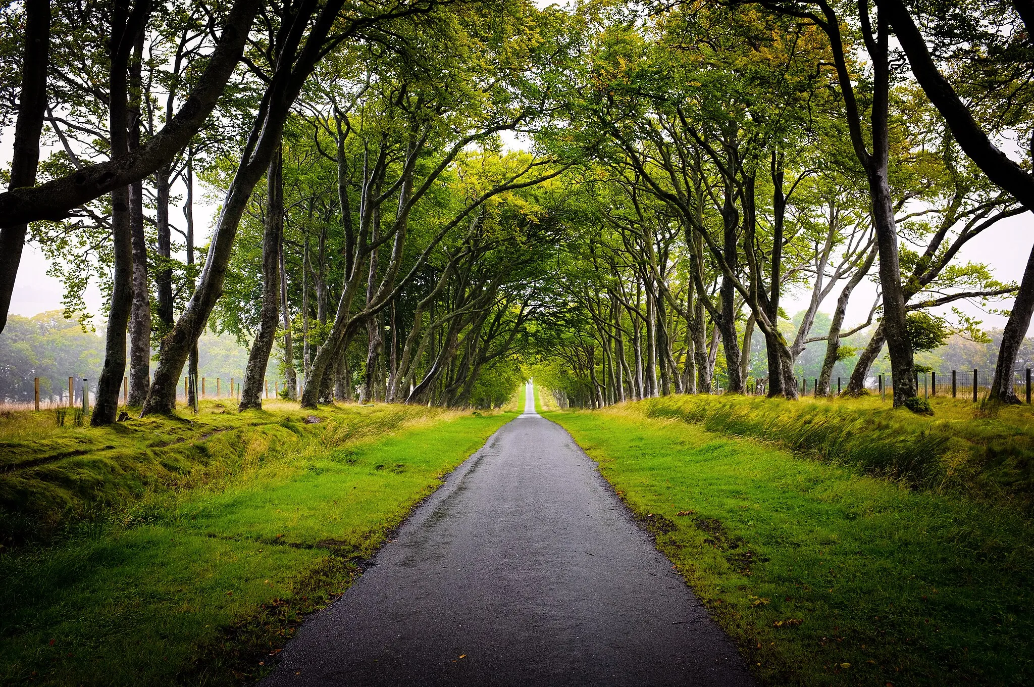
Start: Penicuik City centerPenicuik: Scenic cycling in Eastern Scotland
Penicuik is a scenic town located in Eastern Scotland. As a cyclist, you can enjoy the winding roads that offer stunning views of the surrounding countryside. The town itself is relatively quiet, making it a peaceful destination for cycling. A popular cycling spot near Penicuik is the Glencorse Reservoir, which offers a challenging climb and picturesque scenery. Overall, Penicuik is a great locality for road and gravel cyclists, with its beautiful routes and tranquil atmosphere.0 km
0 km
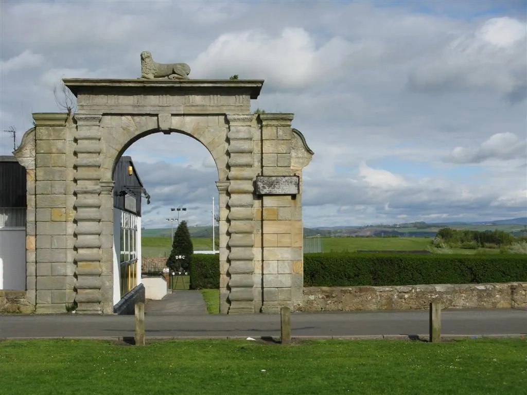
PenicuikTownStart your journey in Penicuik and marvel at its rich history and heritage.
14 km
14 km
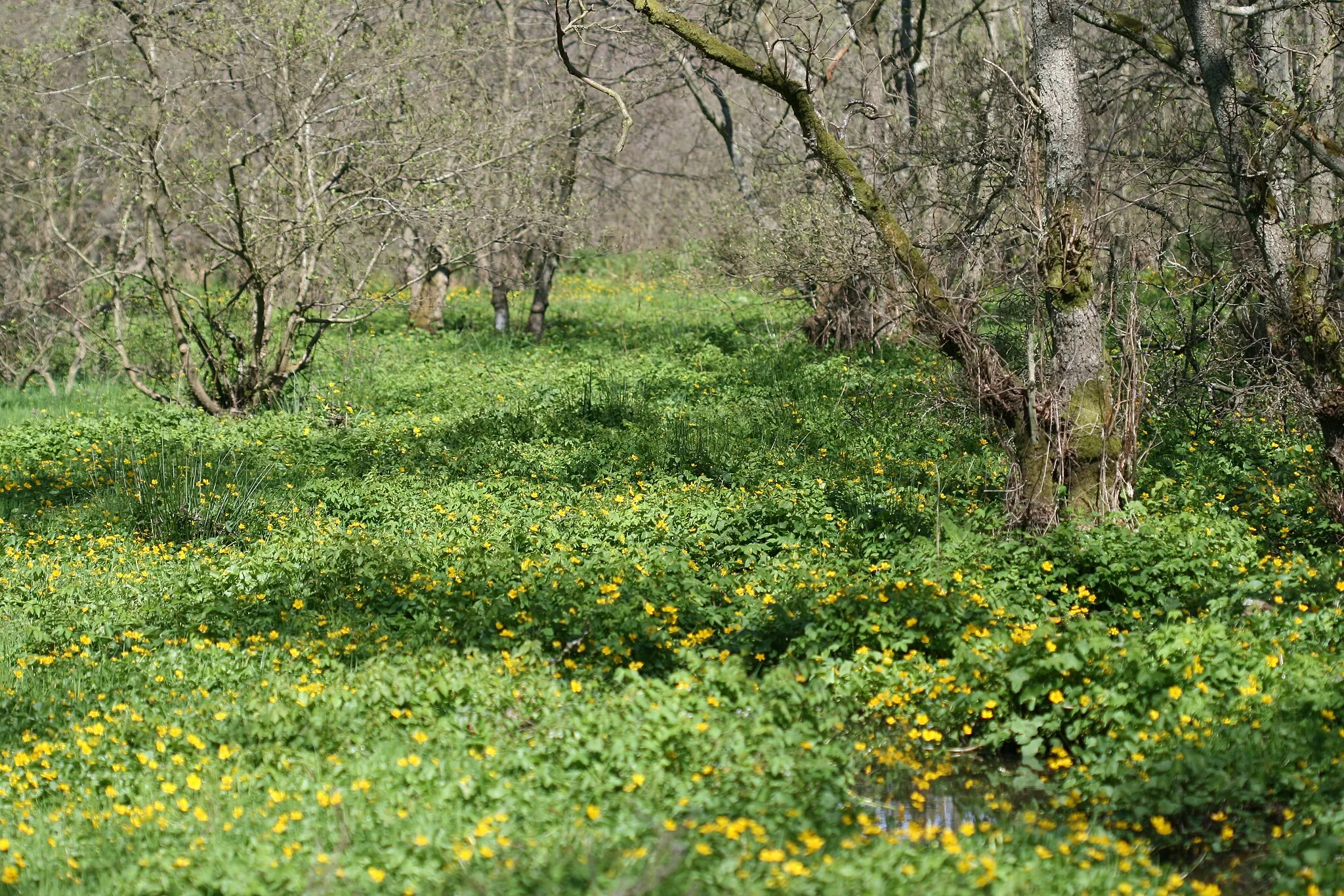
The Great Polish Map of ScotlandAttractionDiscover the unique Great Polish Map of Scotland, showcasing the country's geography in an extraordinary way.
19 km
19 km
Black Meldon407 mPeakCatch a glimpse of the picturesque Black Meldon.
28 km
28 km
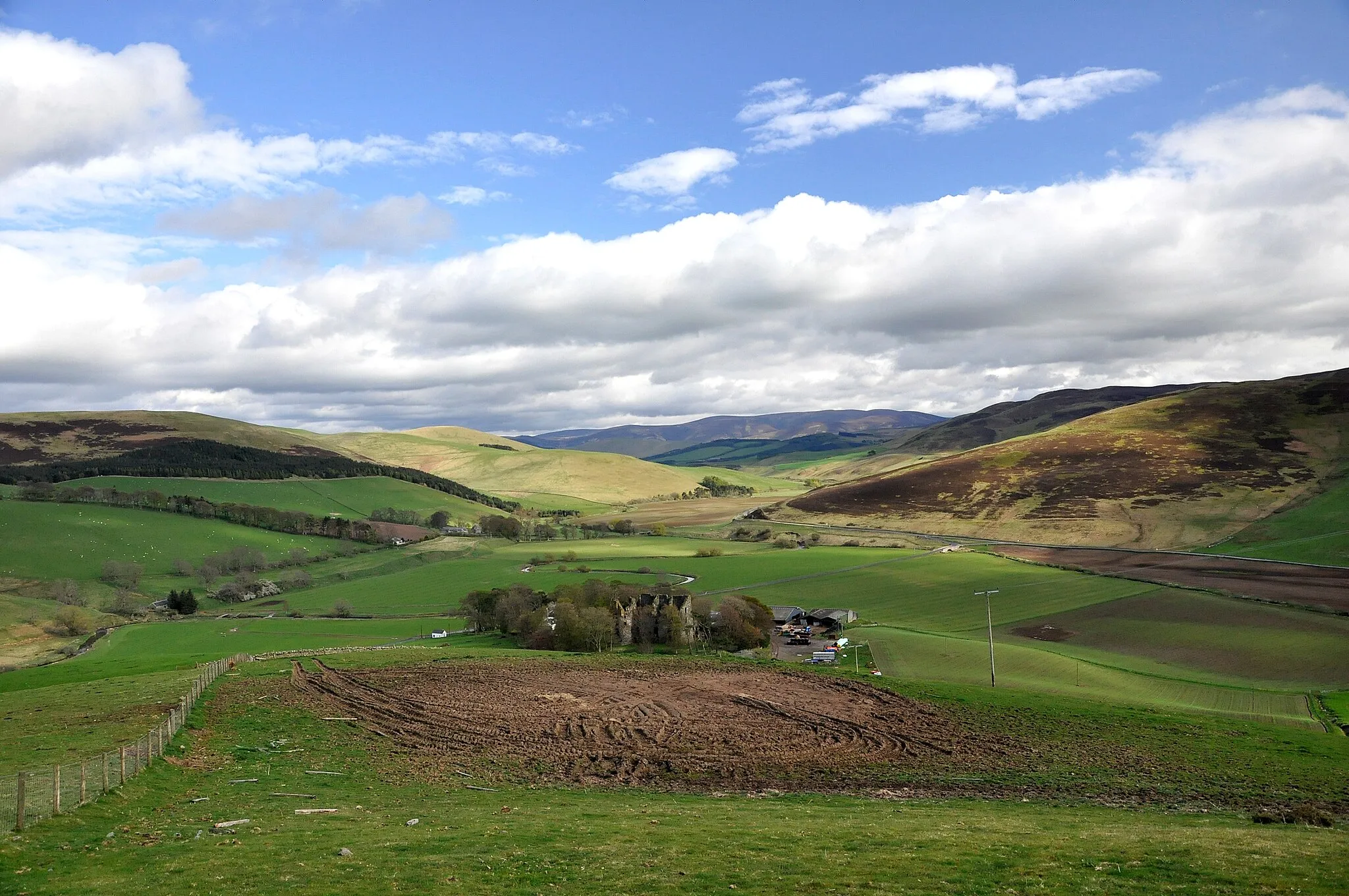
Drochil CastleCastle RuinsAdmire the impressive architecture of Drochil Castle.
33 km
33 km
Blyth Bank Hill309 mPeakCycle through Blyth Bank Hill, surrounded by stunning landscapes.
45 km
45 km
CarlopsVillagePass through the quaint village of Carlops and soak in its charm.
53 km
53 km
Penicuik HouseCastle RuinsExplore Penicuik House and learn about its fascinating history.
55 km
55 km
Finish: Penicuik City centerPenicuik: Scenic cycling in Eastern Scotland
Cycling routes from Penicuik:
Cycling routes nearby: