Gravel Exploration: Forests and Hills
A gravel cycling route starting from Ingrave
Explore the enchanting forests and rolling hills along this gravel cycling route near Ingrave.
Map
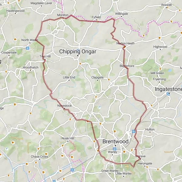
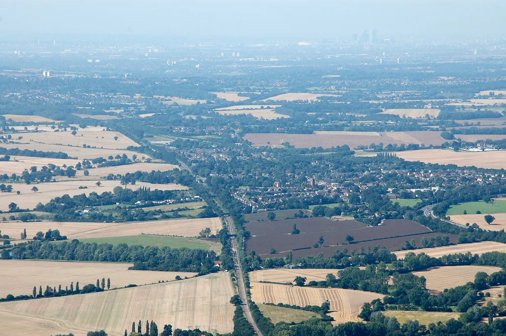
This gravel cycling route near Ingrave spans 52 km and has an elevation gain of 358 meters, taking cyclists on an exploration of Essex's scenic forests and rolling hills. Setting off from Ingrave, you'll encounter highlights such as Navestock, Toot Hill, Norton Heath, and Ingrave itself. Marvel at the natural beauty of the forests and unwind amidst the serene surroundings. With its moderate difficulty rating of 3, this route provides an exhilarating gravel cycling experience ideal for riders seeking a combination of adventure and picturesque landscapes.
gravel
52 km
358 m
Tough
Route profile
Highlights on the route
0 km
0 km
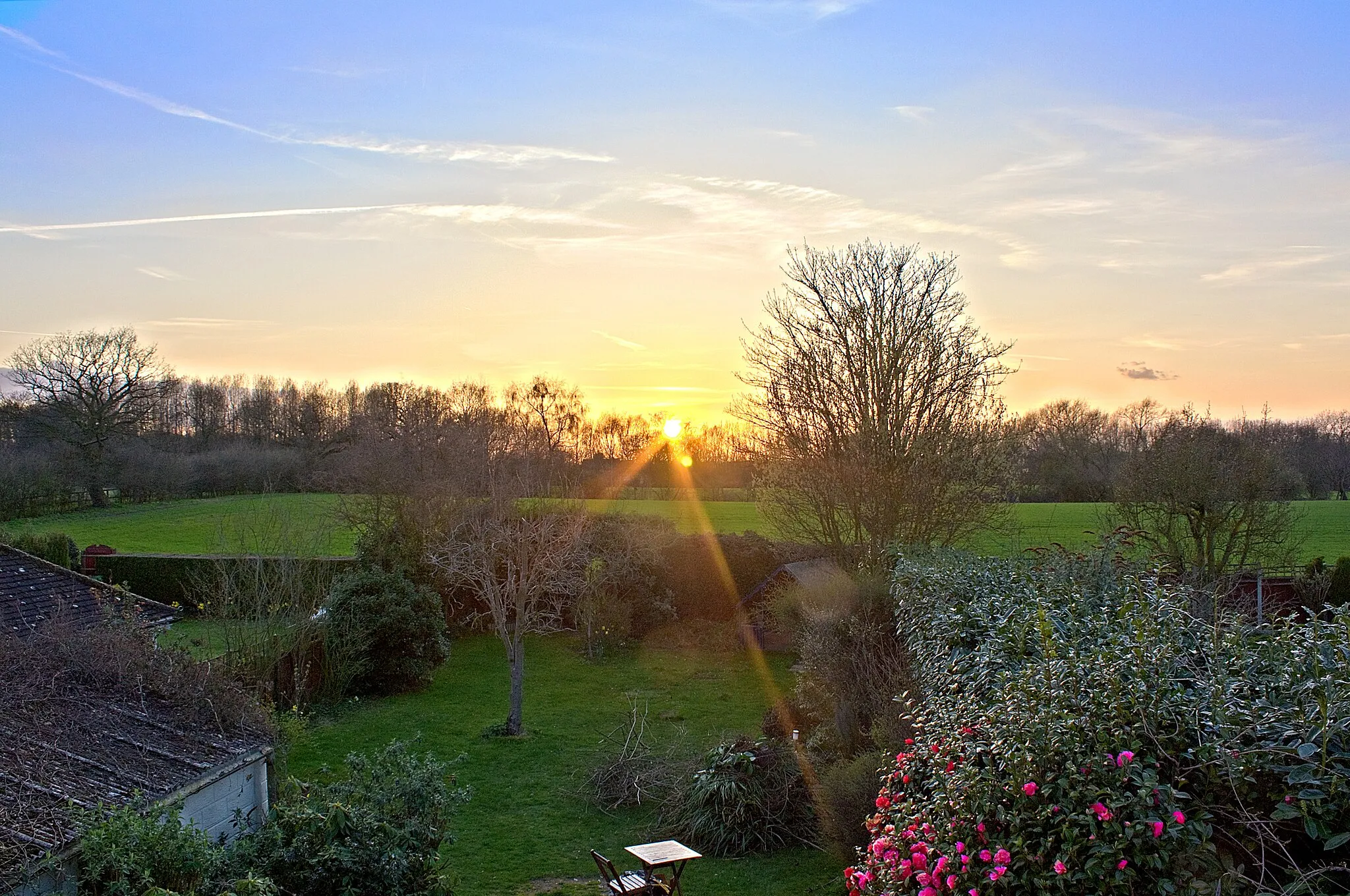
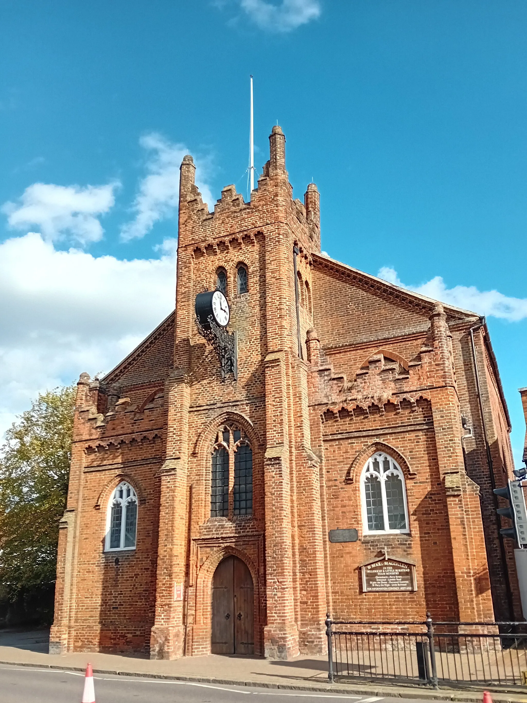
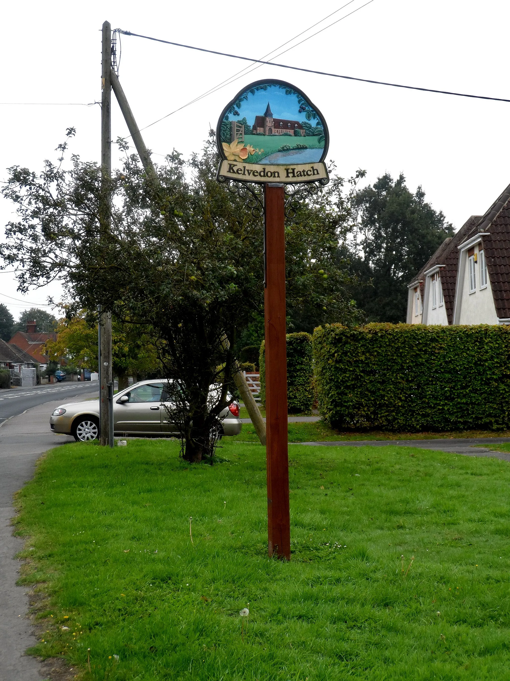
Start: Ingrave Village centerIngrave: Tranquil rides through scenic countryside and historic landmarks.
Ingrave is a scenic locality located in Essex, United Kingdom. From a cyclist's perspective, Ingrave offers gentle undulating terrain and quiet country lanes, making it an ideal destination for road and gravel cyclists seeking peaceful rides. The area is surrounded by beautiful countryside, with picturesque fields and charming villages to explore. For those looking for more challenging climbs, the nearby North Downs provide an exhilarating cycling experience with rewarding views at the top. Ingrave itself is known for its historic church and rich heritage, adding cultural interest to a cyclist's visit. With its tranquility, natural beauty, and cycling opportunities, Ingrave is a fantastic choice for cyclists and history enthusiasts.13 km
13 km
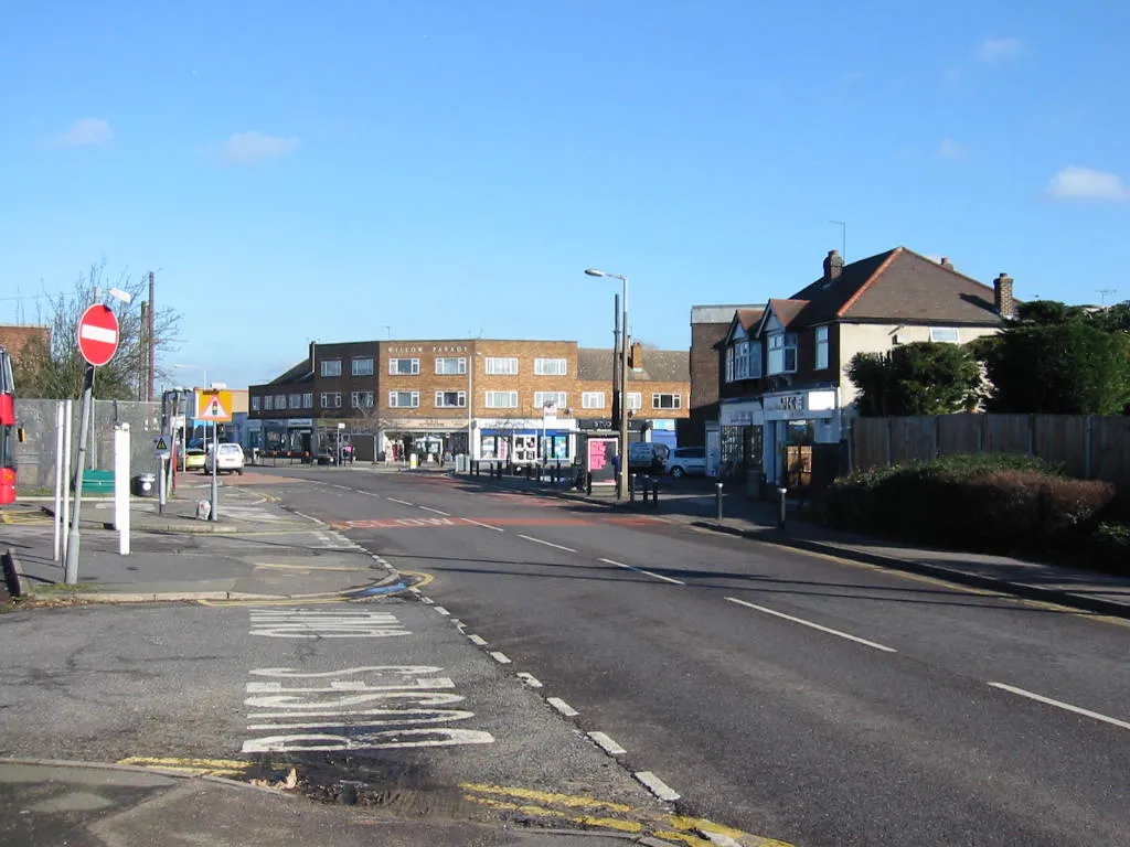
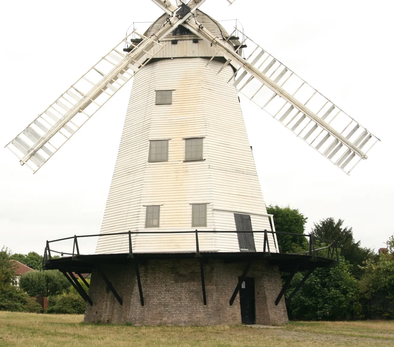
NavestockVillageNavestock is a picturesque location featuring rolling hills and stunning countryside vistas, making it a memorable stop along this gravel exploration.
19 km
19 km
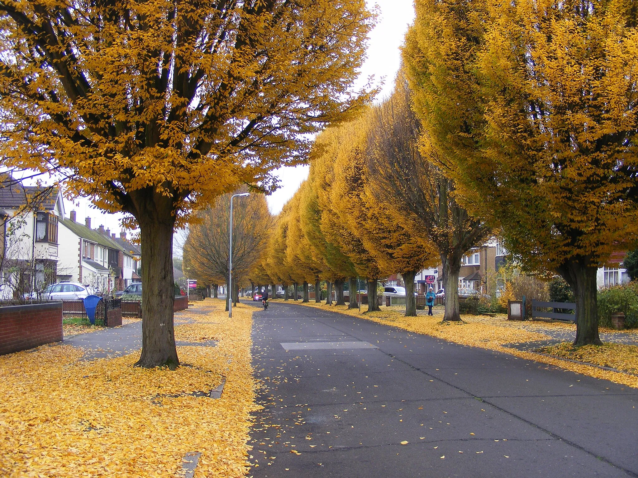
Toot HillVillageToot Hill boasts charming rural landscapes, offering riders a chance to immerse themselves in the tranquility of nature.
37 km
37 km
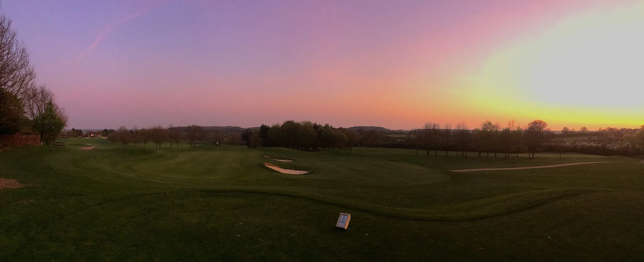
Norton HeathVillageNorton Heath presents cyclists with scenic beauty, featuring idyllic countryside views and peaceful surroundings.
52 km
52 km
IngraveVillageIngrave, the starting and ending point of the route, not only offers convenience but also provides the opportunity to enjoy the scenic landscapes surrounding the village.
52 km
52 km
Finish: Ingrave Village centerIngrave: Tranquil rides through scenic countryside and historic landmarks.
Cycling routes from Ingrave:
Writtle and Mountnessing Road Adventure Blackmore and High Laver Gravel Loop Billericay and Chelmsford Gravel Ride Boreham and South Hanningfield Road Loop Gravel Adventure through Scenic Landscapes Rettendon and Hadleigh Road Adventure Havering's Grove and Lovecotes Hill Gravel Exploration: Forests and Hills Chelmsford Countryside Ride Botany Bay Ride
Cycling routes nearby: