Cycling-friendly locality with scenic views
Cycling routes from Burnage
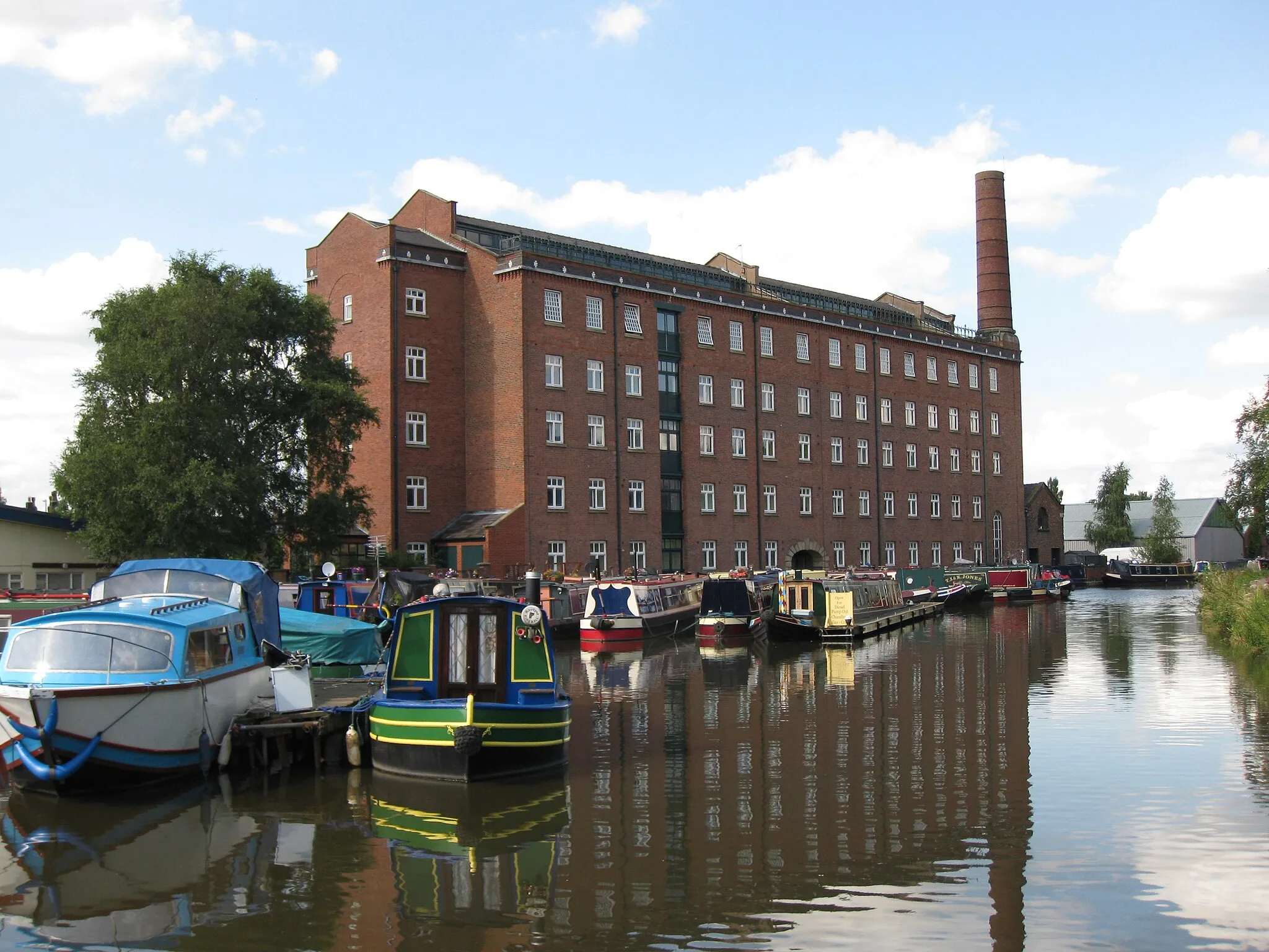
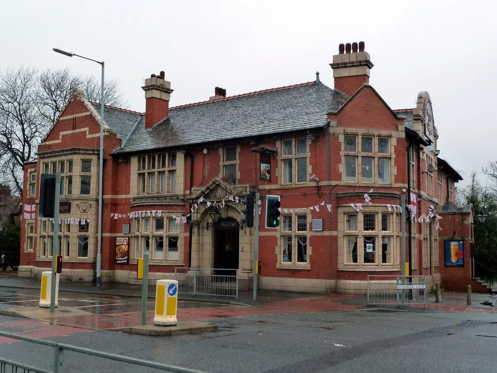
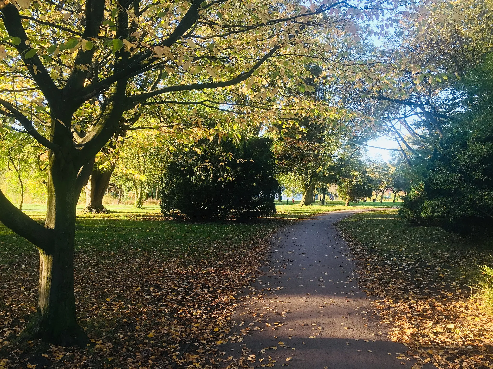
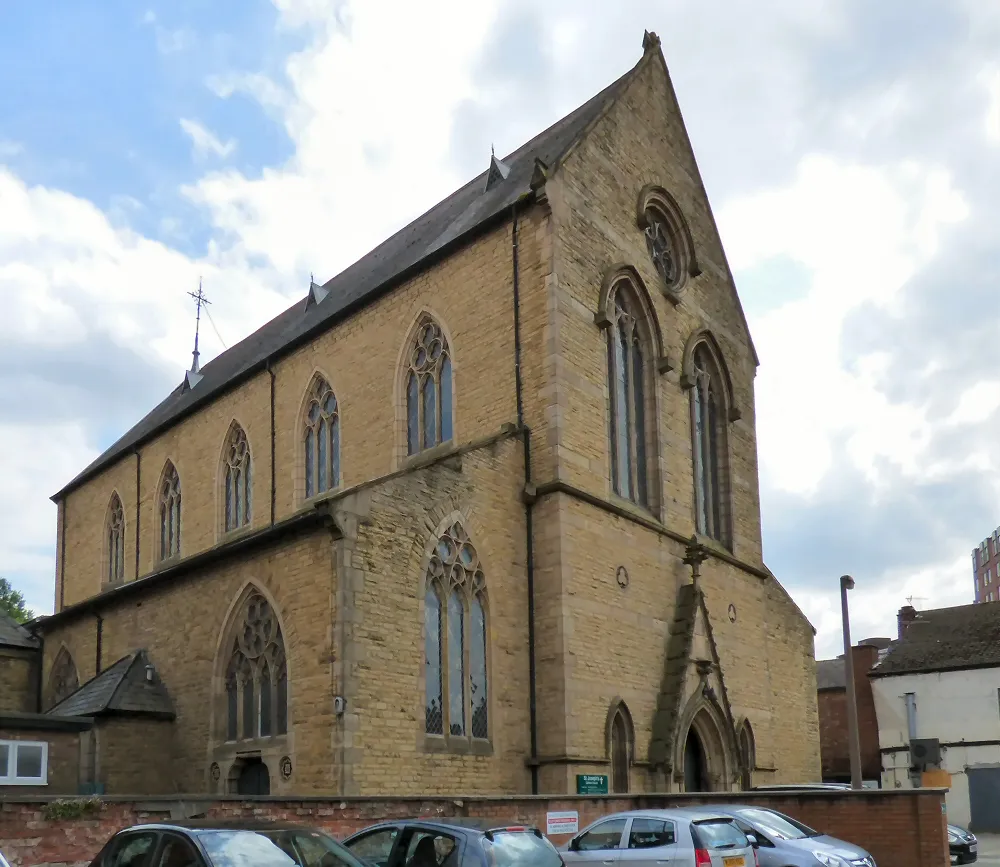
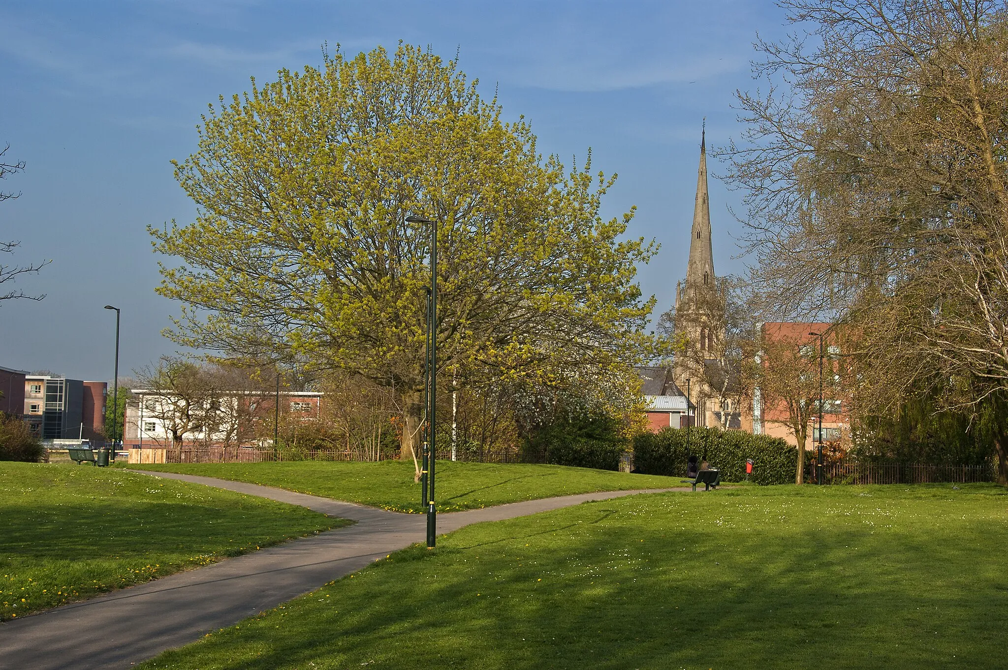
Burnage is a locality located in Greater Manchester, United Kingdom. From a cyclist's perspective, Burnage offers relatively flat terrain and well-maintained roads, making it suitable for both road and gravel cycling. The area is surrounded by beautiful countryside, providing scenic views during bike rides. Although there are no famous cycling-related spots or well-known climbs directly in Burnage, the locality serves as a great starting point for exploring nearby cycling routes and trails in the Greater Manchester area. Cyclists visiting Burnage can enjoy quiet country lanes, picturesque villages, and the opportunity to discover the stunning natural beauty of the region.
Embark on a gravel adventure through the countryside surrounding Burnage.
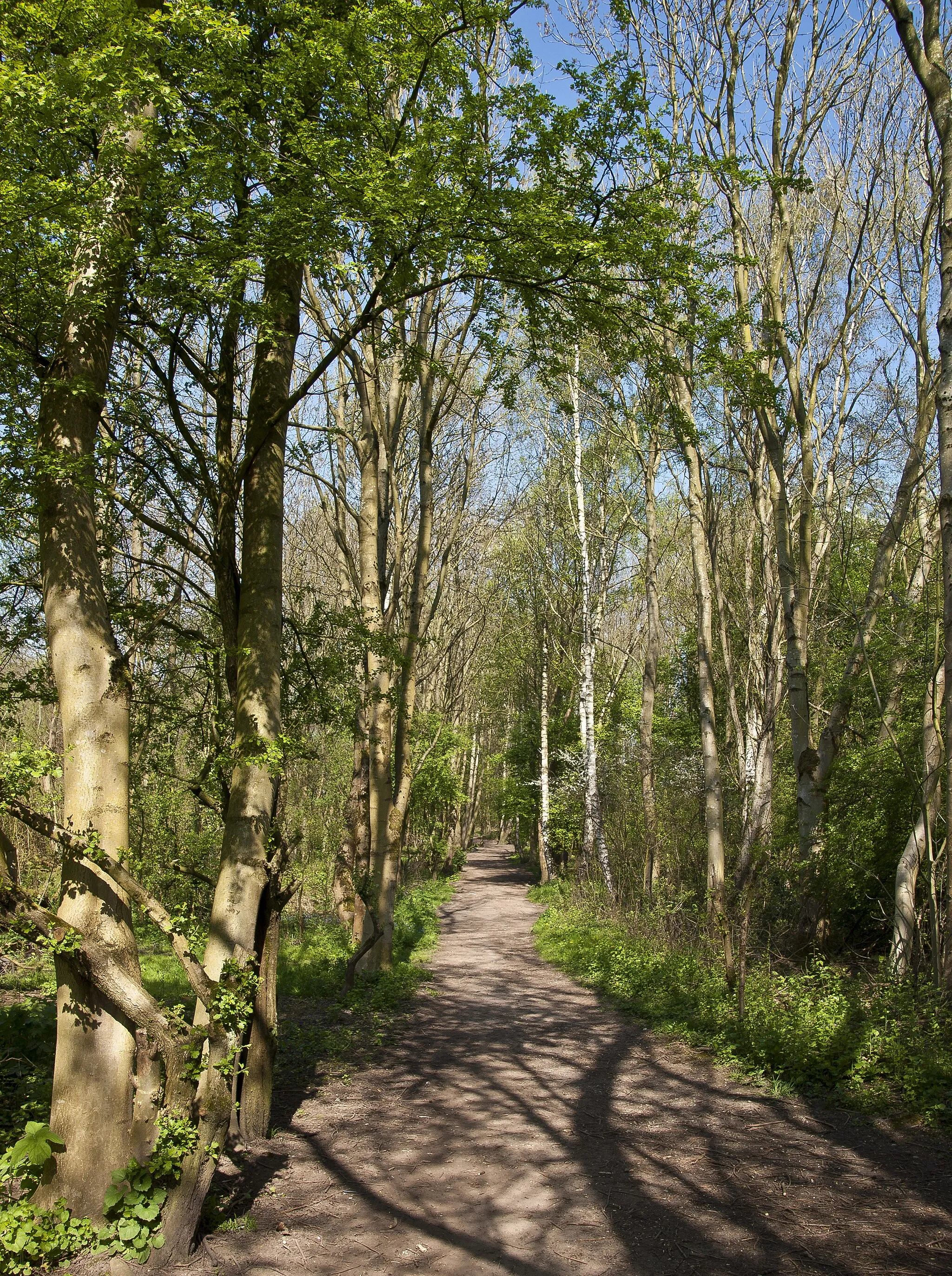
Experience the thrill of off-road cycling on this gravel route that takes you through Romiley, High Lane, Styperson Hill, Handforth, and Burnage. Discover hidden trails, rugged terrain, and breathtaking views as you explore the less-traveled roads and paths. This route is suitable for experienced off-road cyclists who enjoy a challenge and want to discover the beauty of the local countryside.

Embark on a leisurely and cultural road cycling tour of Manchester from Burnage to Old Trafford.
Explore the vibrant city of Manchester on this leisurely route that takes you through Gatley, Ashley, Partington, Fallowfield, and Old Trafford. Along the way, you'll pass by iconic landmarks such as Manchester Airport, Dunham Massey Hall, and Old Trafford Football Stadium. The route is suitable for all cyclists, with mainly flat terrain and well-maintained roads and bike paths.

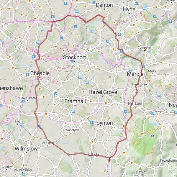
Embark on a challenging gravel loop starting and ending in Burnage, with some of the best off-road cycling in the area.
Take on this challenging circular route that takes you through Portwood, Chadkirk, Styperson Hill, Nether Alderley, Handforth, and Burnage. Encounter varied terrain, steep climbs, and exhilarating descents as you explore the picturesque countryside surrounding Burnage. This route is suitable for experienced off-road cyclists who are seeking a thrilling and scenic ride with an element of adventure.
A cycling journey from Withington to Manchester
Embark on this exciting 118-kilometer road cycling route from Withington to bustling Manchester. With a challenging ascent of 946 meters, the route combines urban and rural landscapes to provide a captivating journey. It's a route that offers moments of relaxation, architectural splendor, and panoramic views, allowing you to experience the surprises of this enticing region.
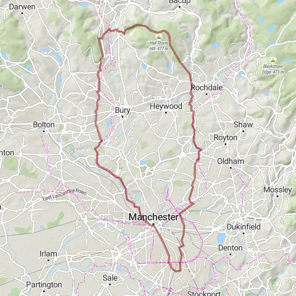
Haughton Green to Burnage
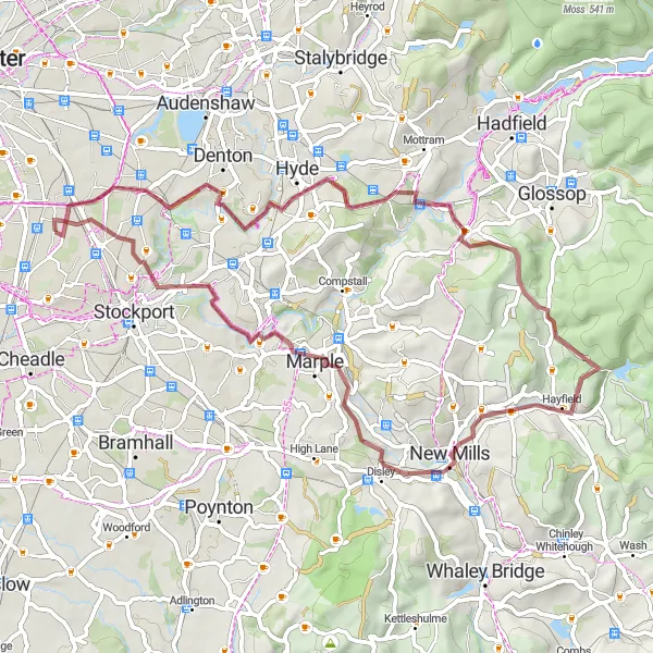
A scenic gravel route from Haughton Green to Burnage
Escape the city and explore the nature on this 55-kilometer gravel route from Haughton Green to Burnage. As you ride through peaceful countryside and navigate challenging terrain, you'll experience a sense of tranquility and adventure. With an ascent of 715 meters, this route offers a moderate level of difficulty for experienced off-road cyclists.
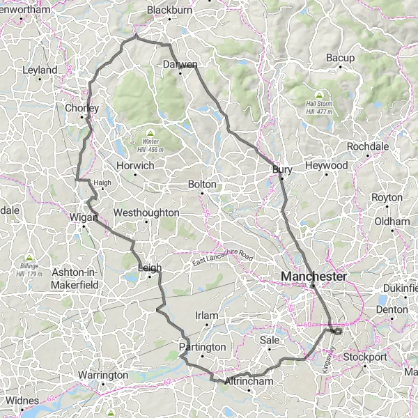
A dynamic route from Chorlton-cum-Hardy to Levenshulme
This 80-kilometer road cycling route takes you from Chorlton-cum-Hardy to the lively area of Levenshulme. With an ascent of 684 meters, it offers a moderate challenge for cyclists of varying abilities. Along the way, you'll encounter beautiful landscapes and vibrant neighborhoods, making for an enjoyable and engaging ride.
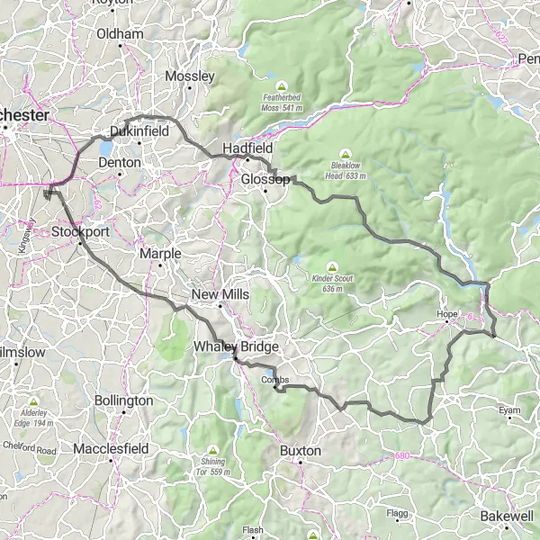
Discover the beauty of the Peak District on this challenging road cycling route from Burnage to Combs.
This route takes you through the stunning scenery of the Peak District, with challenging climbs and rewarding descents. You'll pass through Stalybridge, Old Glossop, Featherbed Top, and Brough-on-Noe before reaching the picturesque village of Combs. The route is suitable for experienced cyclists who are looking for a challenging and scenic ride in the countryside.
Manchester to Levenshulme
Discover Manchester's surroundings on this gravel route to Levenshulme
Embark on a 74-kilometer gravel cycling journey from Manchester to the lively area of Levenshulme. With an ascent of 767 meters, this route combines the tranquility of nature with the vibrancy of urban surroundings. As you pass through unique landscapes and bustling streets, you'll witness the contrasting beauty that makes this region so captivating.
A scenic route from Chorlton-cum-Hardy to Chinatown Arch
This route takes you from the vibrant area of Chorlton-cum-Hardy to the iconic Chinatown Arch in Manchester. The 120-kilometer journey includes stunning views and a challenging ascent of 1,065 meters. Whether you're an experienced road cyclist or looking to challenge yourself, this route offers a mix of beauty and excitement.

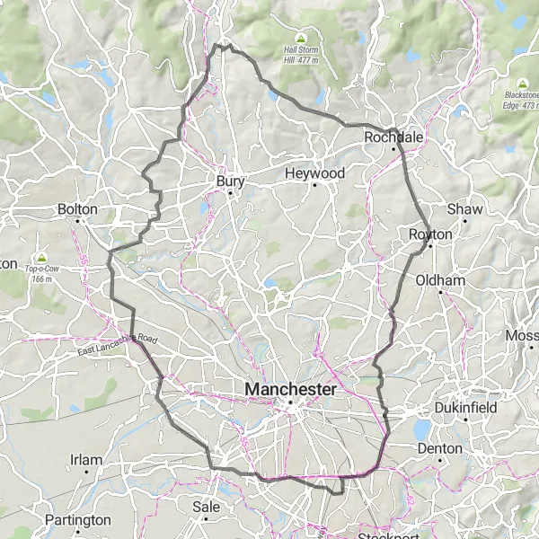
Explore the diverse suburbs of Greater Manchester on this moderately challenging road cycling route.
This route takes you through the vibrant neighborhoods of Levenshulme, Middleton, Milnrow, Grotton, and Reddish. You'll experience a mix of urban and rural landscapes, with opportunities to discover local landmarks and hidden gems along the way. The route is suitable for intermediate cyclists who are looking to explore the cultural and architectural diversity of Greater Manchester.
Cycling routes nearby:
Nearby regions: