Burnage to Burnage: Gravel Adventure
A gravel cycling route starting from Burnage
Embark on a gravel adventure through the countryside surrounding Burnage.
Map
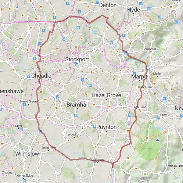
Experience the thrill of off-road cycling on this gravel route that takes you through Romiley, High Lane, Styperson Hill, Handforth, and Burnage. Discover hidden trails, rugged terrain, and breathtaking views as you explore the less-traveled roads and paths. This route is suitable for experienced off-road cyclists who enjoy a challenge and want to discover the beauty of the local countryside.
gravel
46 km
306 m
Tough
Route profile
Highlights on the route
0 km
0 km
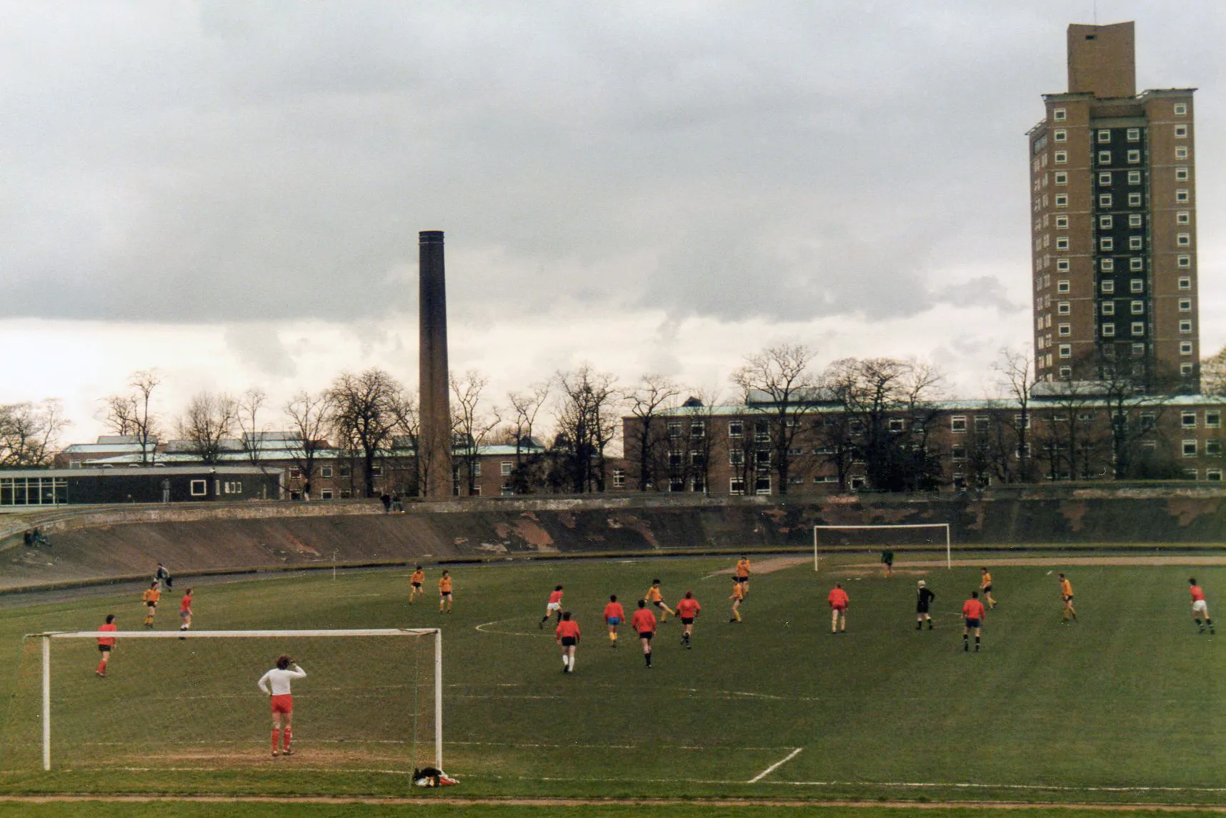
Start: Locality centerBurnage: Cycling-friendly locality with scenic views
Burnage is a locality located in Greater Manchester, United Kingdom. From a cyclist's perspective, Burnage offers relatively flat terrain and well-maintained roads, making it suitable for both road and gravel cycling. The area is surrounded by beautiful countryside, providing scenic views during bike rides. Although there are no famous cycling-related spots or well-known climbs directly in Burnage, the locality serves as a great starting point for exploring nearby cycling routes and trails in the Greater Manchester area. Cyclists visiting Burnage can enjoy quiet country lanes, picturesque villages, and the opportunity to discover the stunning natural beauty of the region.11 km
11 km
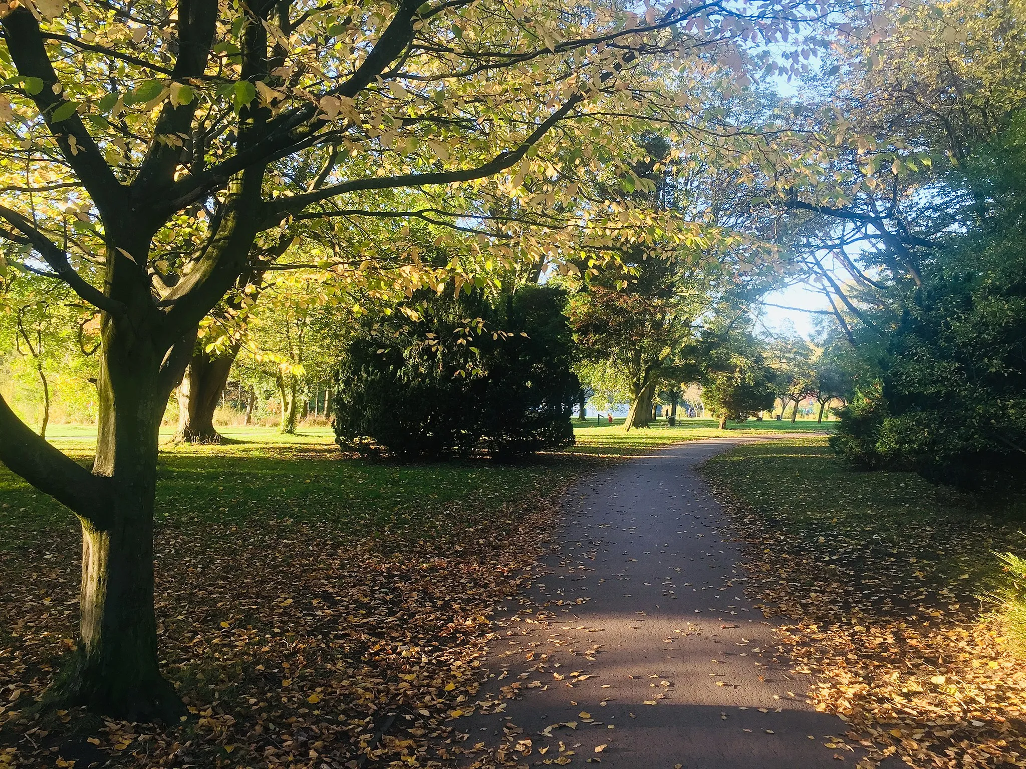
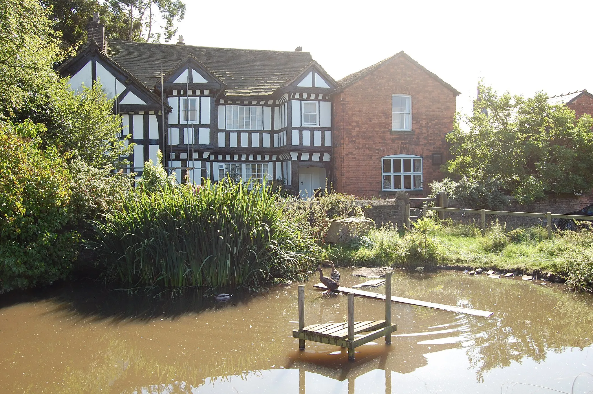
RomileySub-urbRomiley is a charming town with a historic castle and beautiful countryside nearby.
19 km
19 km
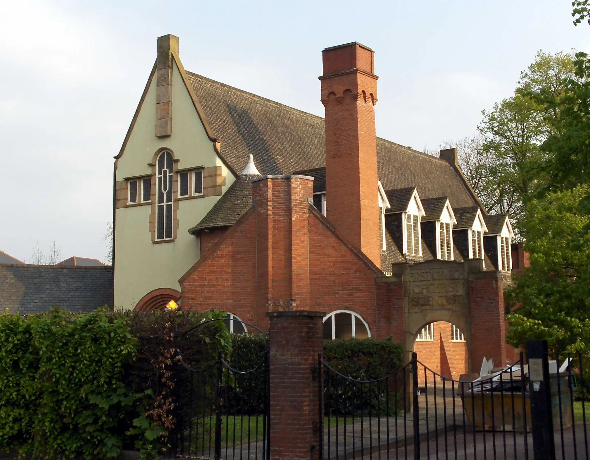
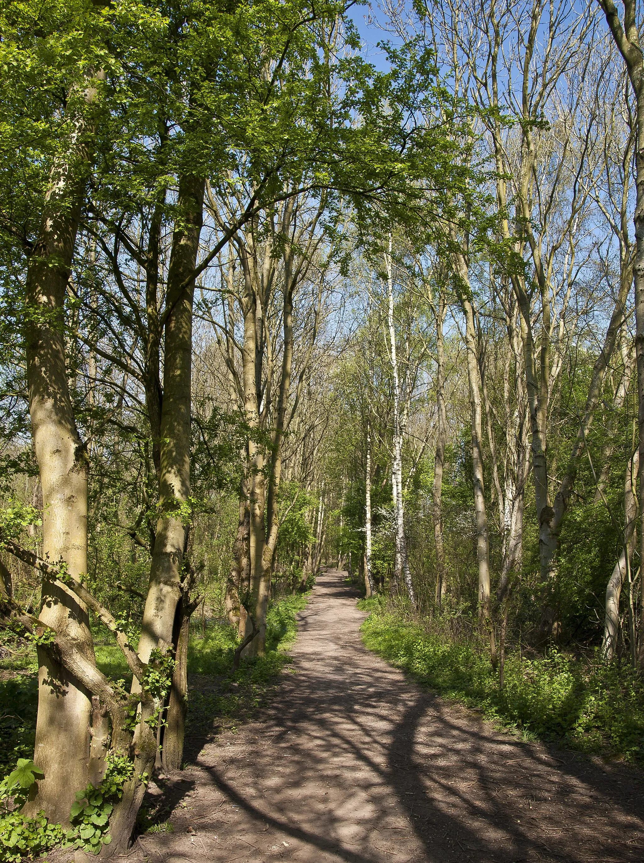
High LaneVillageHigh Lane is a small village surrounded by rolling hills and stunning natural beauty.
26 km
26 km
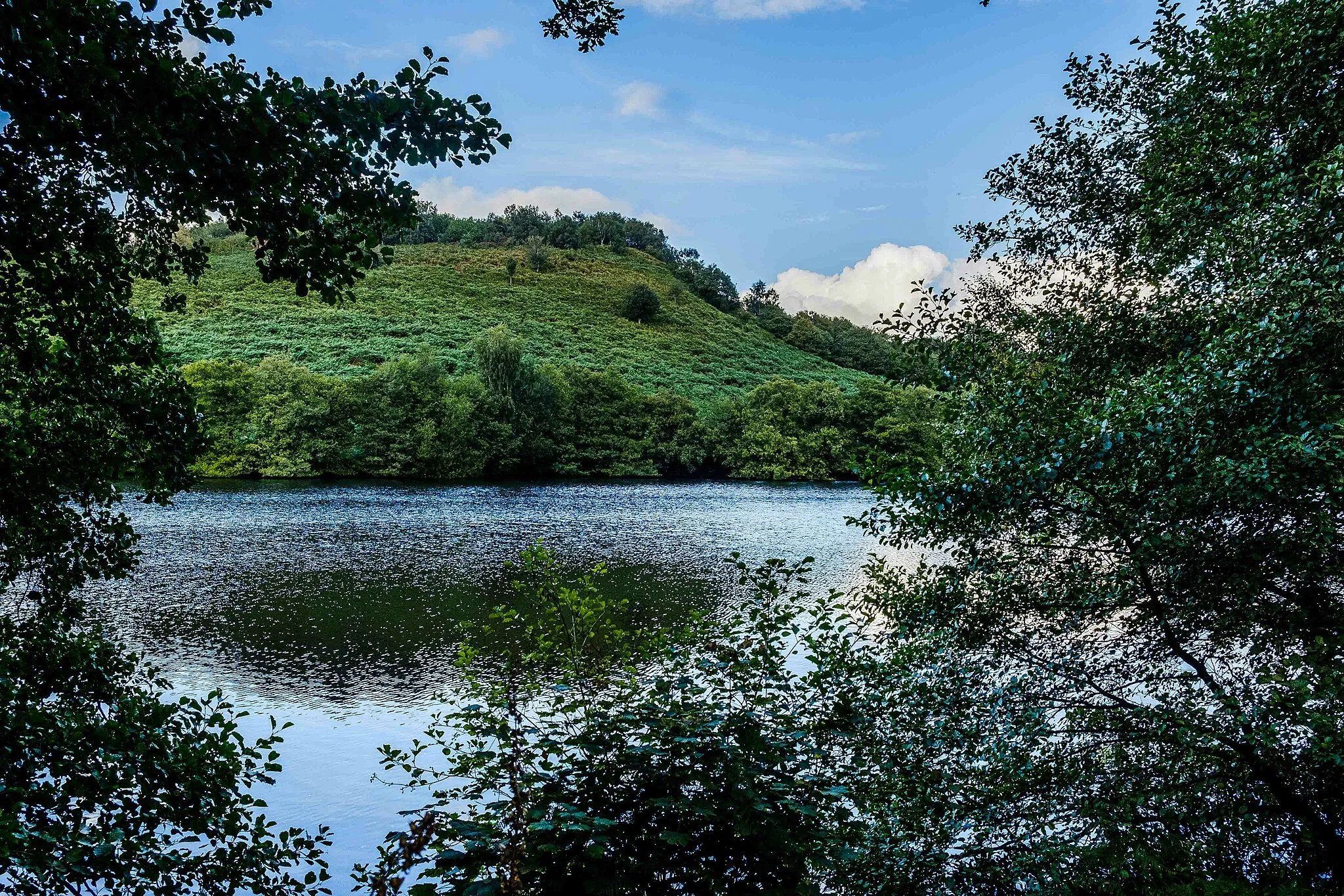
Styperson Hill213 mPeakStyperson Hill offers thrilling descents and technical climbs, perfect for off-road adventure seekers.
36 km
36 km
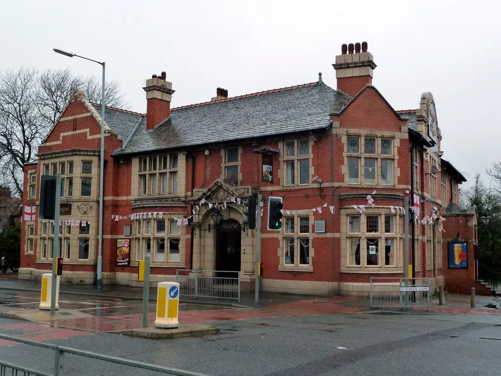
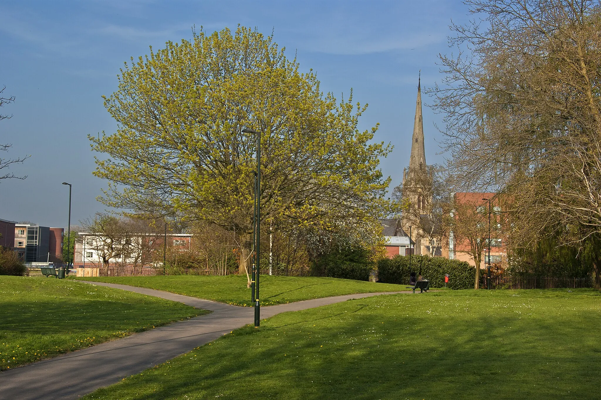
HandforthSub-urbHandforth is a leafy suburb with parks and green spaces, perfect for a well-deserved rest.
46 km
46 km
BurnageSub-urbBurnage is a residential suburb located on the outskirts of Manchester, offering a peaceful setting for the end of your gravel adventure.
46 km
46 km
Finish: Locality centerBurnage: Cycling-friendly locality with scenic views
Cycling routes from Burnage:
Burnage to Reddish: Exploring Greater Manchester Burnage to Burnage: Gravel Adventure Haughton Green to Burnage Burnage to Old Trafford: Manchester City Tour Withington to Manchester Burnage to Burnage: Gravel Loop Chorlton-cum-Hardy to Chinatown Arch Chorlton-cum-Hardy to Levenshulme Manchester to Levenshulme Burnage to Combs: Exploring the Peaks
Cycling routes nearby: