Charing Gravel Adventure
A gravel cycling route starting from Charing
Embark on a gravel adventure starting from Charing
Map

This compact gravel route starts and ends in the historic village of Charing, covering a distance of 27 kilometers and featuring a total ascent of 295 meters. It's a great option for gravel enthusiasts looking for a shorter yet enjoyable ride. The route passes through scenic countryside landscapes and stops at the charming village of Boughton Lees.
gravel
27 km
295 m
Chill
Route profile
Highlights on the route
0 km
0 km
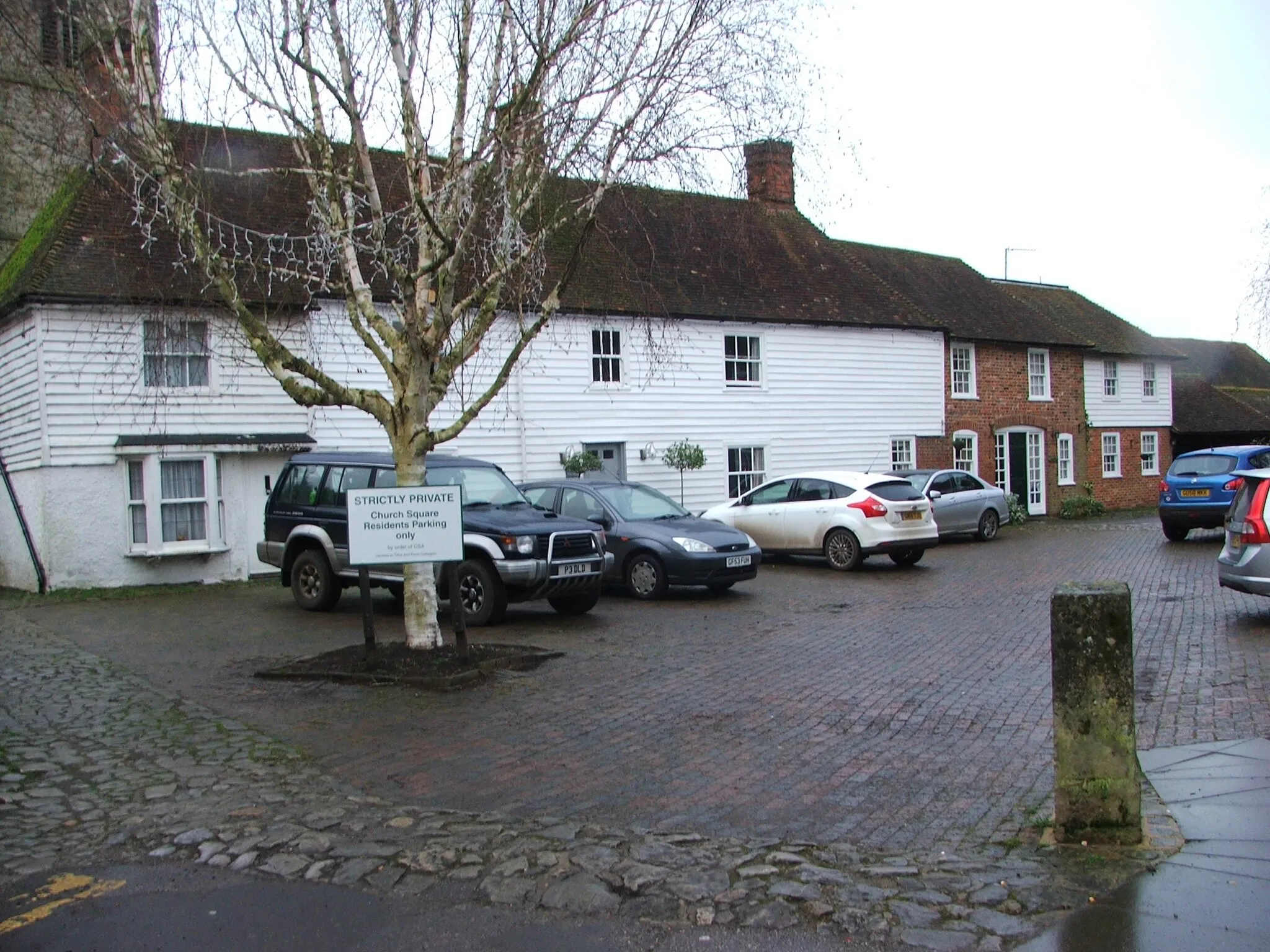
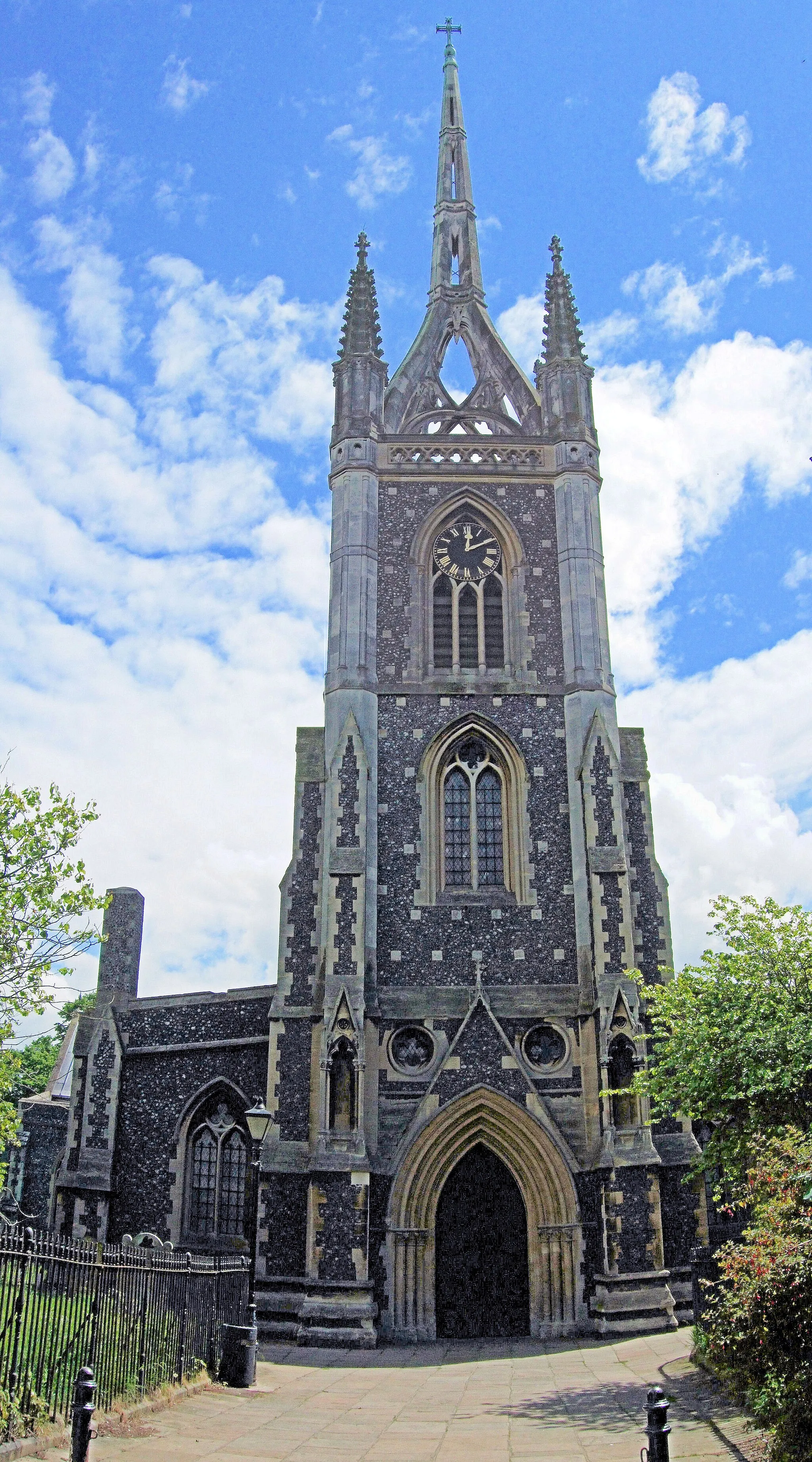
Start: Charing Village centerCharing: Serene cycling amidst scenic countryside along the Pilgrims' Way.
Charing in Kent, United Kingdom, invites cyclists to explore its peaceful countryside and charming village setting. Cyclists can pedal along the quiet country lanes, passing by picturesque farmland and enjoying the tranquil atmosphere. Charing is conveniently located near the famous Pilgrims' Way, a historic trail that attracts many cyclists wanting to follow in the footsteps of pilgrims from centuries past. With its serene cycling routes and historic connections, Charing provides an enjoyable ride for cyclists seeking both natural and cultural experiences.0 km
0 km
CharingVillageCharing, a quintessential English village with a rich history and beautiful architecture.
6 km
6 km
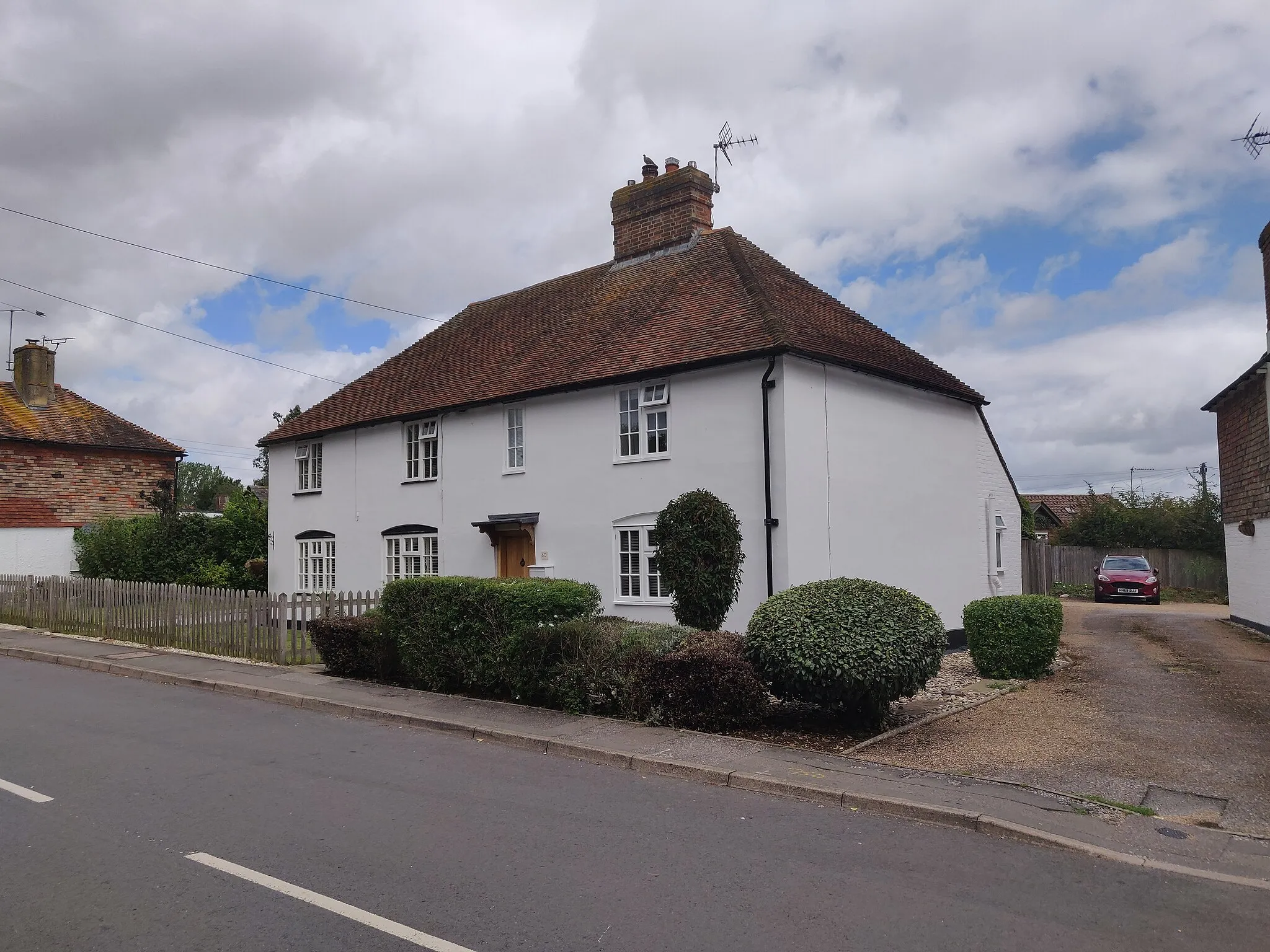
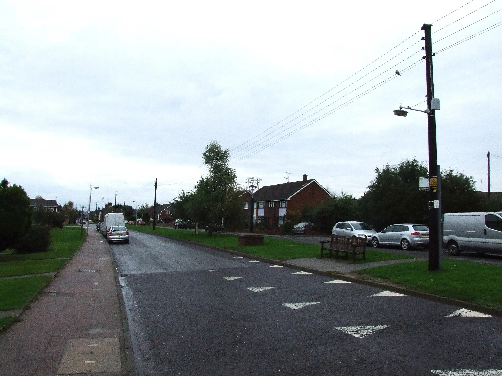
ChallockVillageChallock, a tranquil village surrounded by picturesque countryside.
19 km
19 km
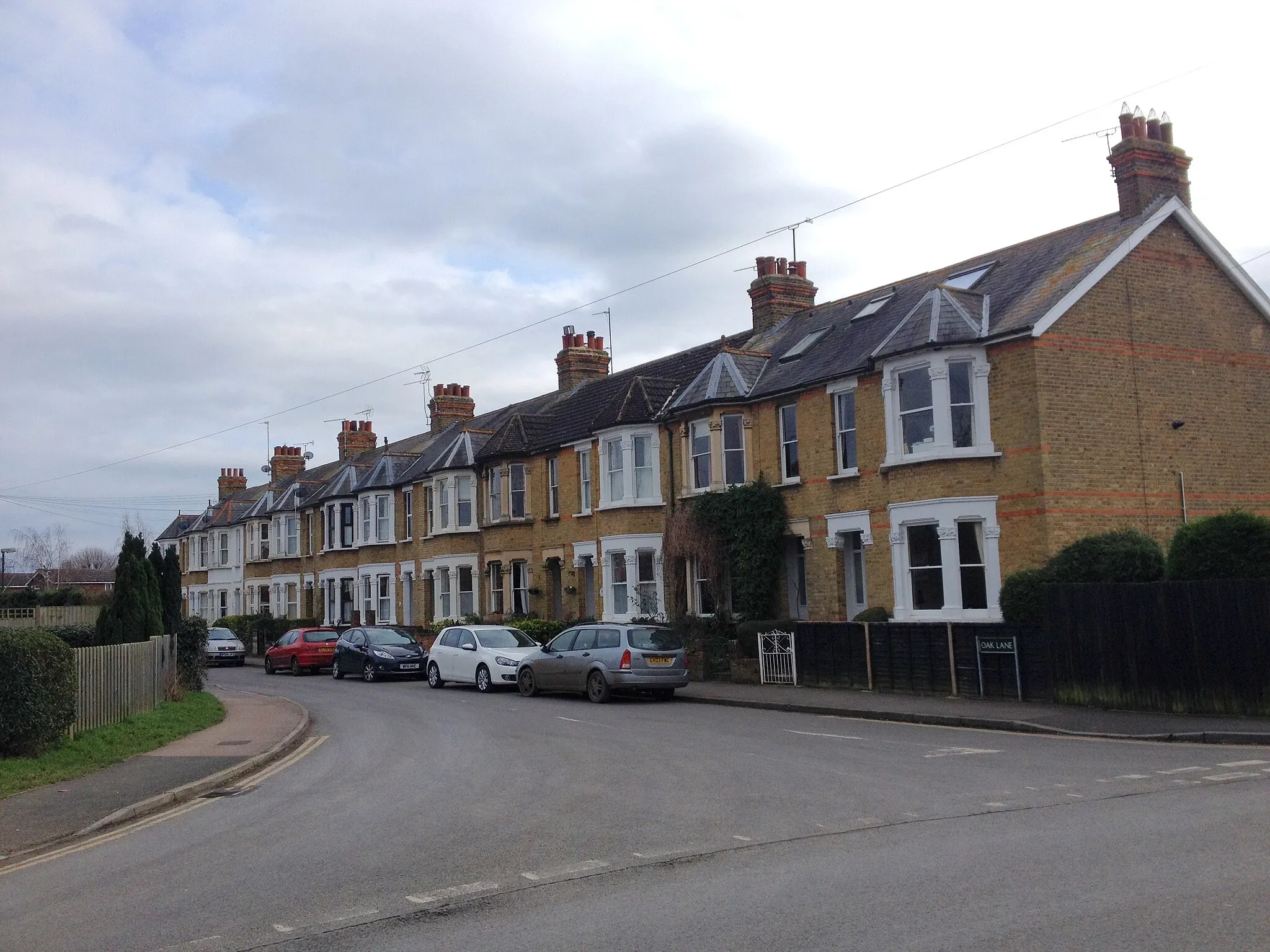
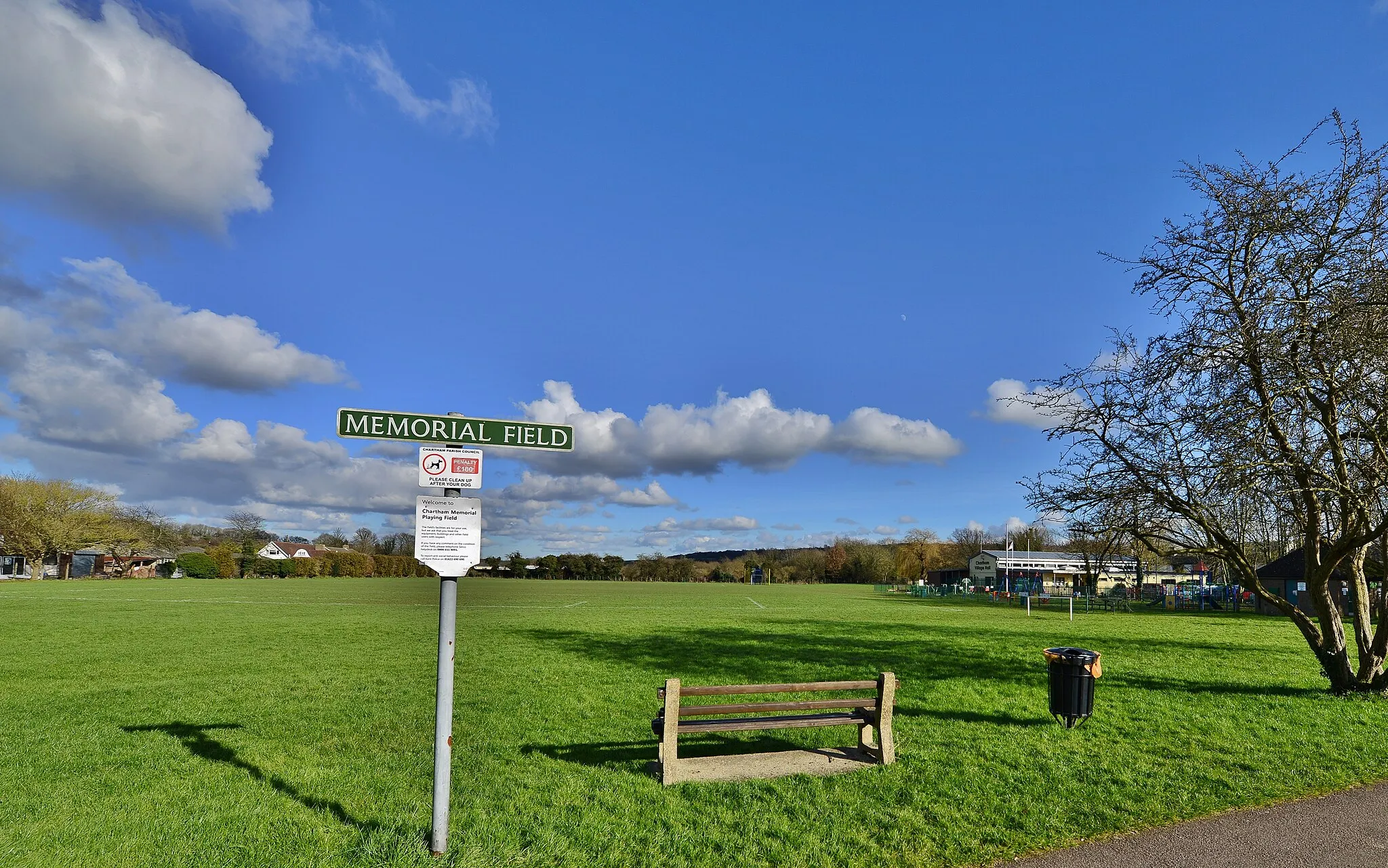
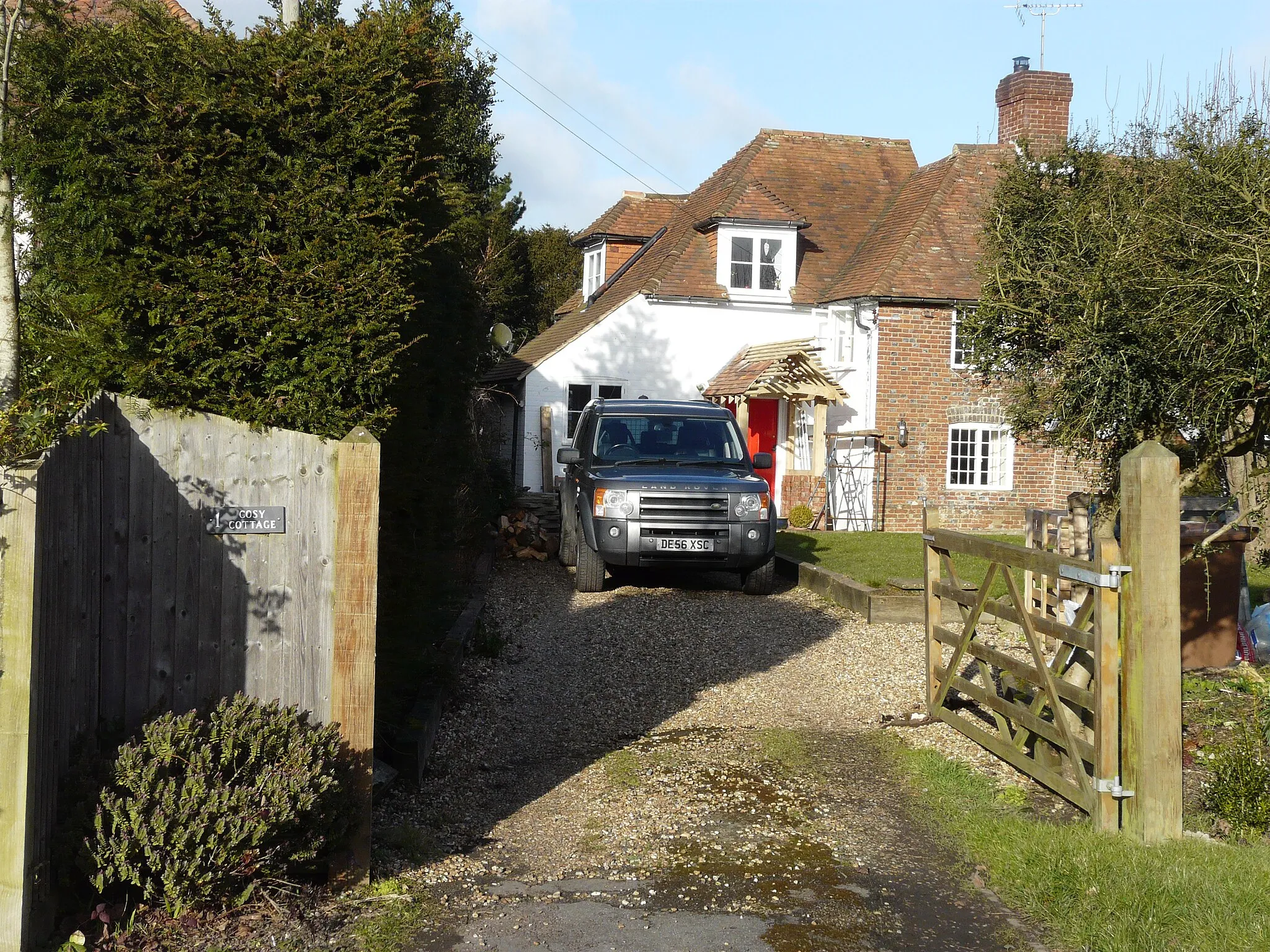
Boughton LeesVillageBoughton Lees, a delightful village known for its quaint cottages and friendly locals.
27 km
27 km
Finish: Charing Village centerCharing: Serene cycling amidst scenic countryside along the Pilgrims' Way.
Cycling routes nearby: