Moors and Heights
A road cycling route starting from Blackburn
Challenge yourself with this epic route through Clayton-le-Moors, Burnley, and Hoof Stones Height.
Map
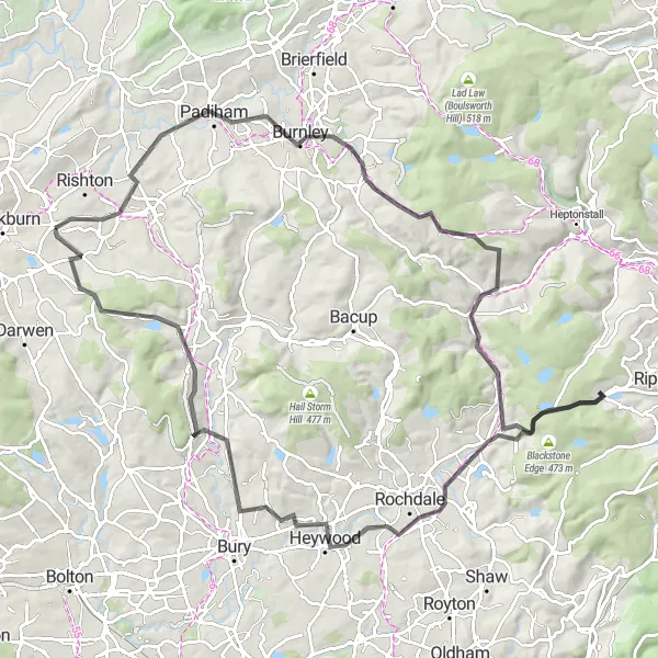
The Moors and Heights cycling route takes you on a challenging journey through picturesque areas near Blackburn. With a total ascent of 1495m over a distance of 100km, this route promises a tough but rewarding experience. You'll pass through the historic town of Clayton-le-Moors, admire the Burnley skyline, and reach the stunning Hoof Stones Height. The route offers a mix of rolling hills and steep climbs, making it ideal for seasoned cyclists seeking a thrilling adventure. Get ready to conquer Stormer Hill, Belthorn, and other challenging segments along the way.
road
100 km
1495 m
Tough
Route profile
Highlights on the route
0 km
0 km
Start: Knuzden Brook Village centerBlackburn: Diverse Cycling Routes in Lancashire
Blackburn is a town in Lancashire, United Kingdom, that offers a mixed cycling experience for road and gravel cyclists. While it may not have the same level of scenic beauty as some other localities, Blackburn has a variety of routes suitable for different skill levels. The region is known for its rolling hills, providing opportunities for challenging rides. Not far from Blackburn, cyclists can explore the iconic climb of Jubilee Tower. This climb offers panoramic views and serves as a fitting reward for cyclists tackling its ascent. Overall, Blackburn provides a pleasant and diverse cycling experience for enthusiasts.6 km
6 km
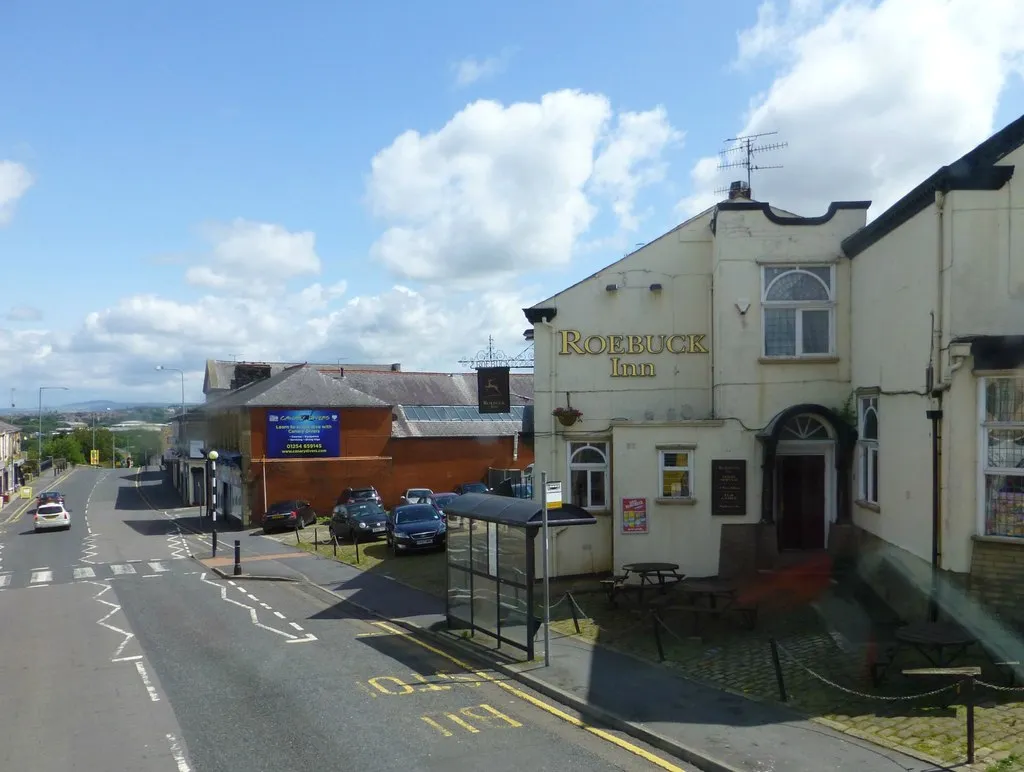
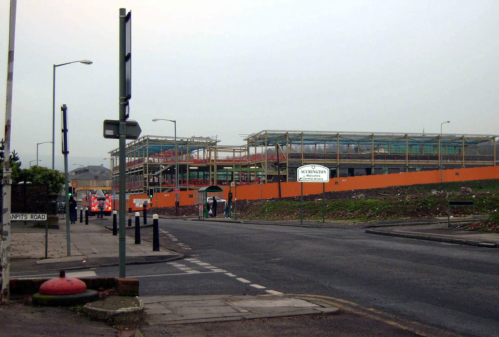
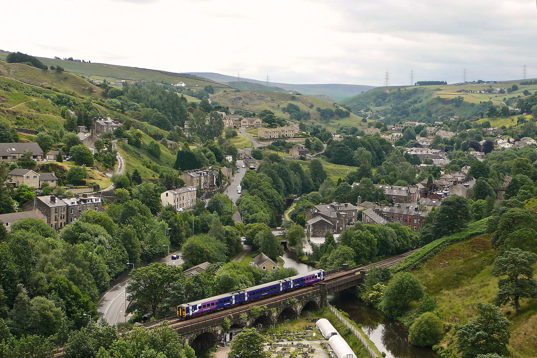
Clayton-le-MoorsTownTake a break at Clayton-le-Moors and explore its fascinating industrial heritage.
18 km
18 km
BurnleyTownBurnley's skyline will mesmerize you as you pass through this vibrant town.
27 km
27 km
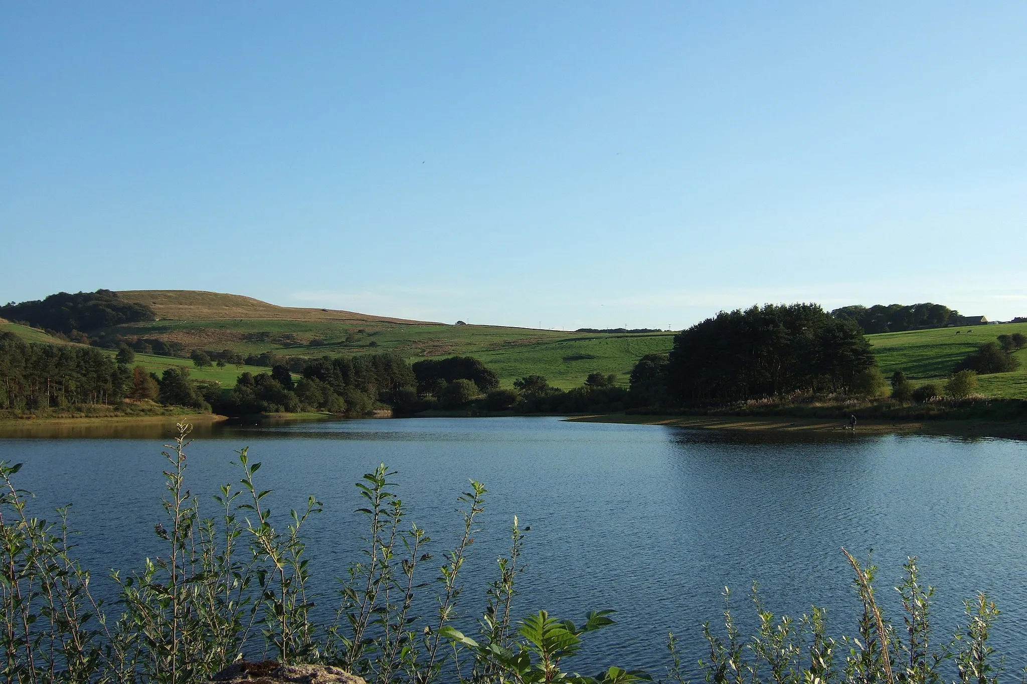
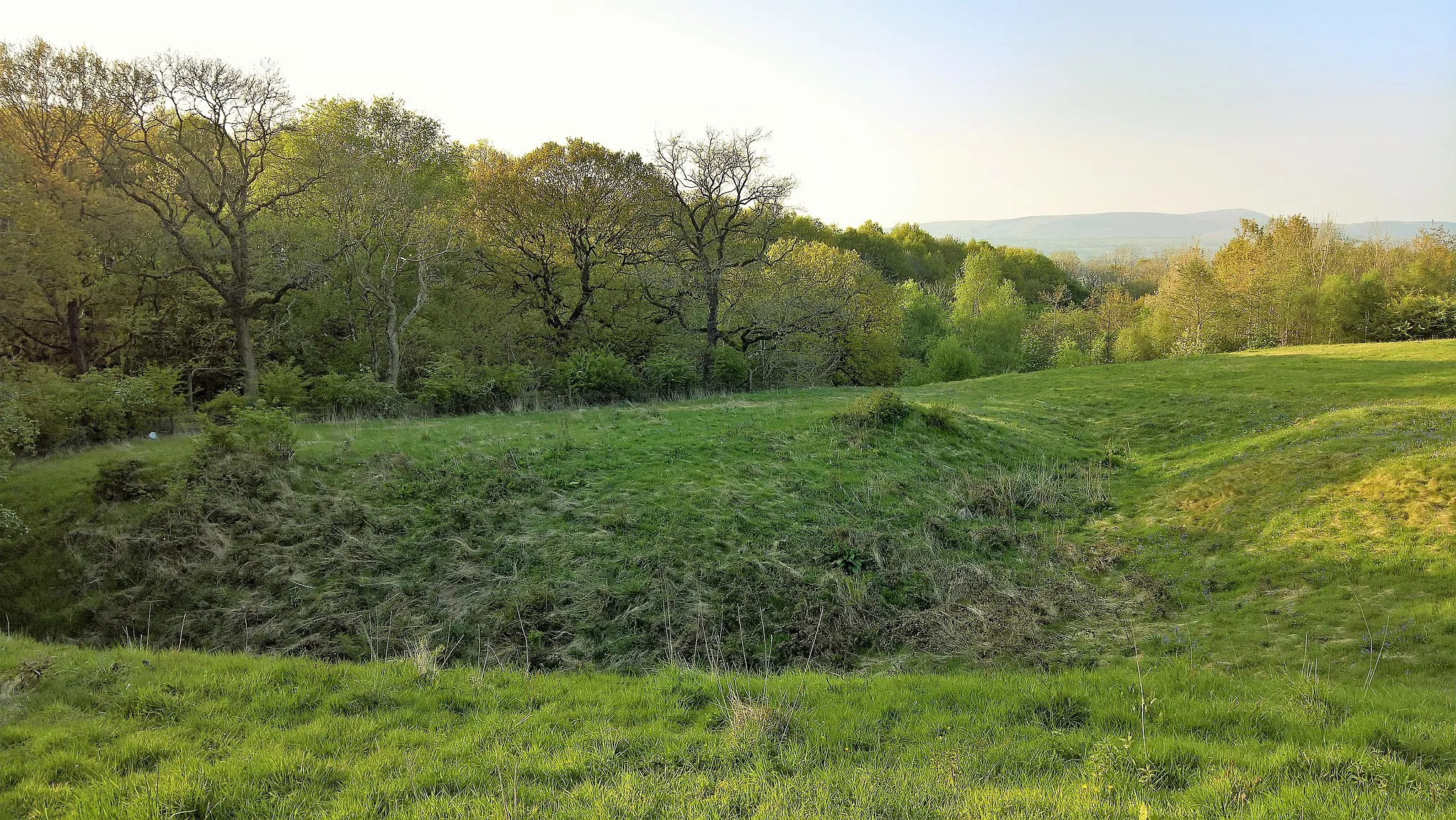
Hoof Stones Height480 mPeakHoof Stones Height offers stunning panoramic views and is a great spot for a photo op.
35 km
35 km
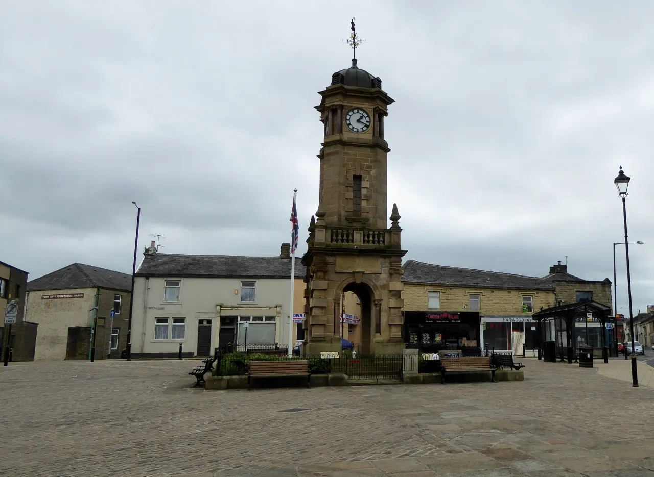
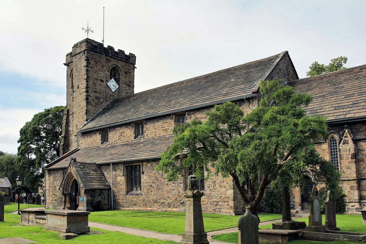
TodmordenTownTodmorden welcomes you with its charming architecture and vibrant markets.
48 km
48 km
Knave Holes Hill387 mPeakKnave Holes Hill's challenging climb rewards you with beautiful views over the countryside.
55 km
55 km
Stormer Hill251 mPeakStormer Hill might test your cycling skills, but the sense of achievement at the top is worth it.
70 km
70 km
HeywoodTownHeywood is a bustling town with plenty of cafes and shops to refuel and rest.
83 km
83 km
HolcombeVillageHolcombe offers picturesque scenery and the chance to visit Holcombe Tower.
96 km
96 km
BelthornVillageBelthorn is a hidden gem known for its stunning views of the surrounding countryside.
100 km
100 km
Finish: Knuzden Brook Village centerBlackburn: Diverse Cycling Routes in Lancashire
Cycling routes from Blackburn:
The Ribble Valley Loop The Gravel Trails of Central Lancashire The Pennine Adventure The Blackburn Discovery The Nelson Gravel Challenge Moors and Heights Whalley Nab Escape Accrington Hills Gravel Adventure Scenic Gravel Loop Wilpshire Loop: Discovering Whalley and Padiham Exploring Whalley, Langho, and Blackburn Off-Roading Adventure: Great Harwood to Blackburn
Cycling routes nearby: