Sabden and Gisburn Road Loop
A road cycling route starting from Brierfield
Scenic road loop with charming villages and beautiful vistas
Map
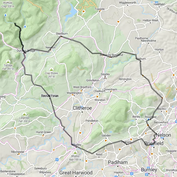
Enjoy a scenic road loop through Sabden and Gisburn, covering a distance of 80 km with an elevation gain of 1286 m. This route is suitable for well-trained amateur riders who crave breathtaking views and peaceful countryside. Highlights along the route include Sabden, Turn Hill, Bashall Eaves, Hodder Bank Fell, The Knot/Sugar Loaf, Slaidburn, Gisburn, and Hollin Top.
road
80 km
1286 m
Tough
Route profile
Highlights on the route
0 km
0 km
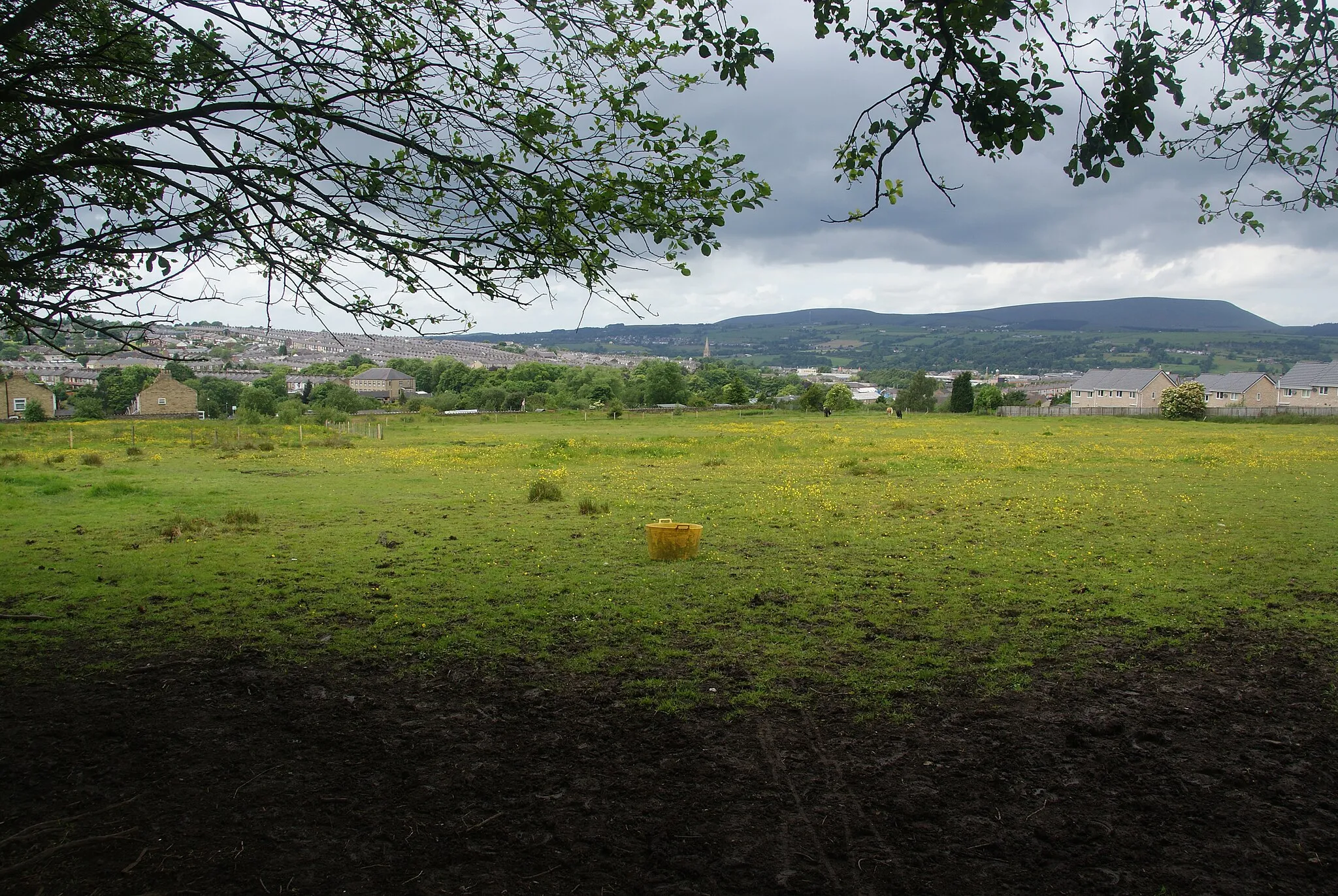
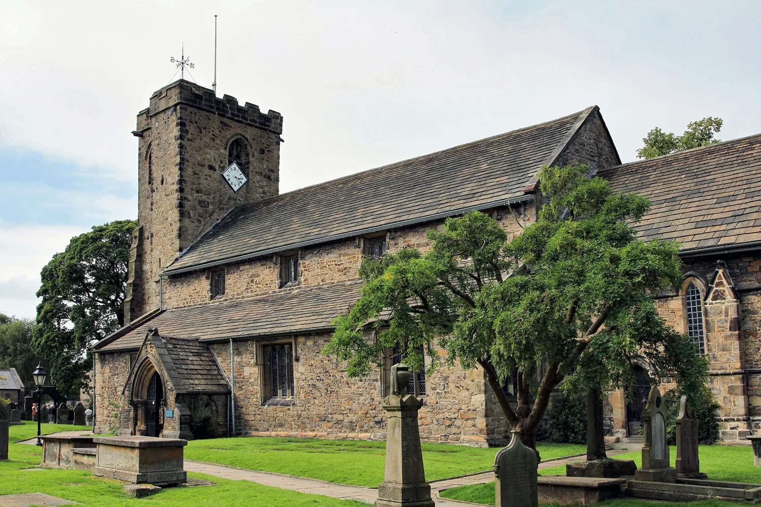
Start: Brierfield City centerBrierfield: Scenic Village Cycling Retreat
Brierfield in Lancashire, United Kingdom is a cyclist-friendly locality with a mix of road and gravel cycling routes. The area offers scenic rides through stunning countryside and charming villages. Cycling enthusiasts will appreciate the diversity of terrain, from gentle rolling hills to challenging climbs. Brierfield is surrounded by several well-known cycling spots, such as Pendle Hill, famous for its tough ascents. With its welcoming atmosphere and well-maintained cycling infrastructure, Brierfield is a great destination for cyclists looking for an immersive riding experience.8 km
8 km
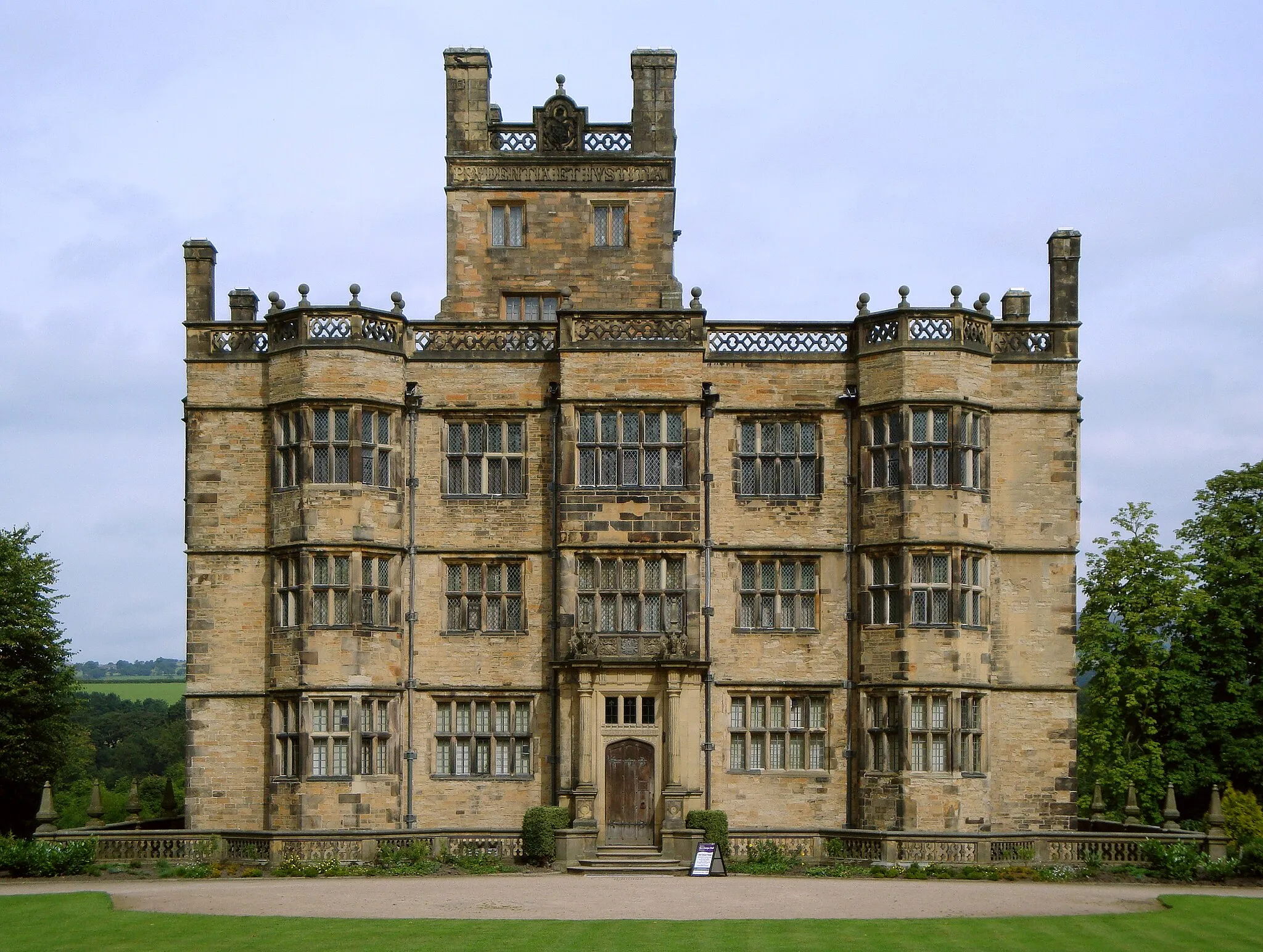
SabdenVillageSabden is a picturesque village nestled in the heart of beautiful Lancashire countryside. Enjoy the idyllic surroundings and soak in the tranquility of this enchanting place.
12 km
12 km
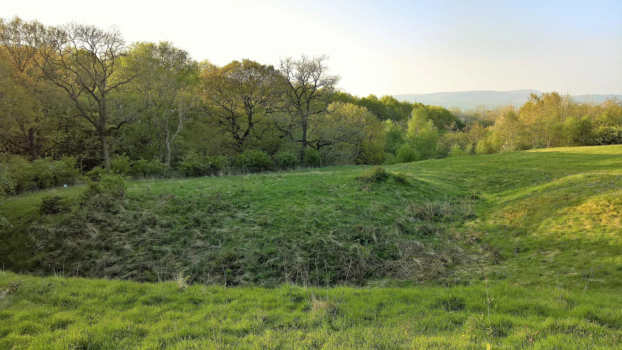
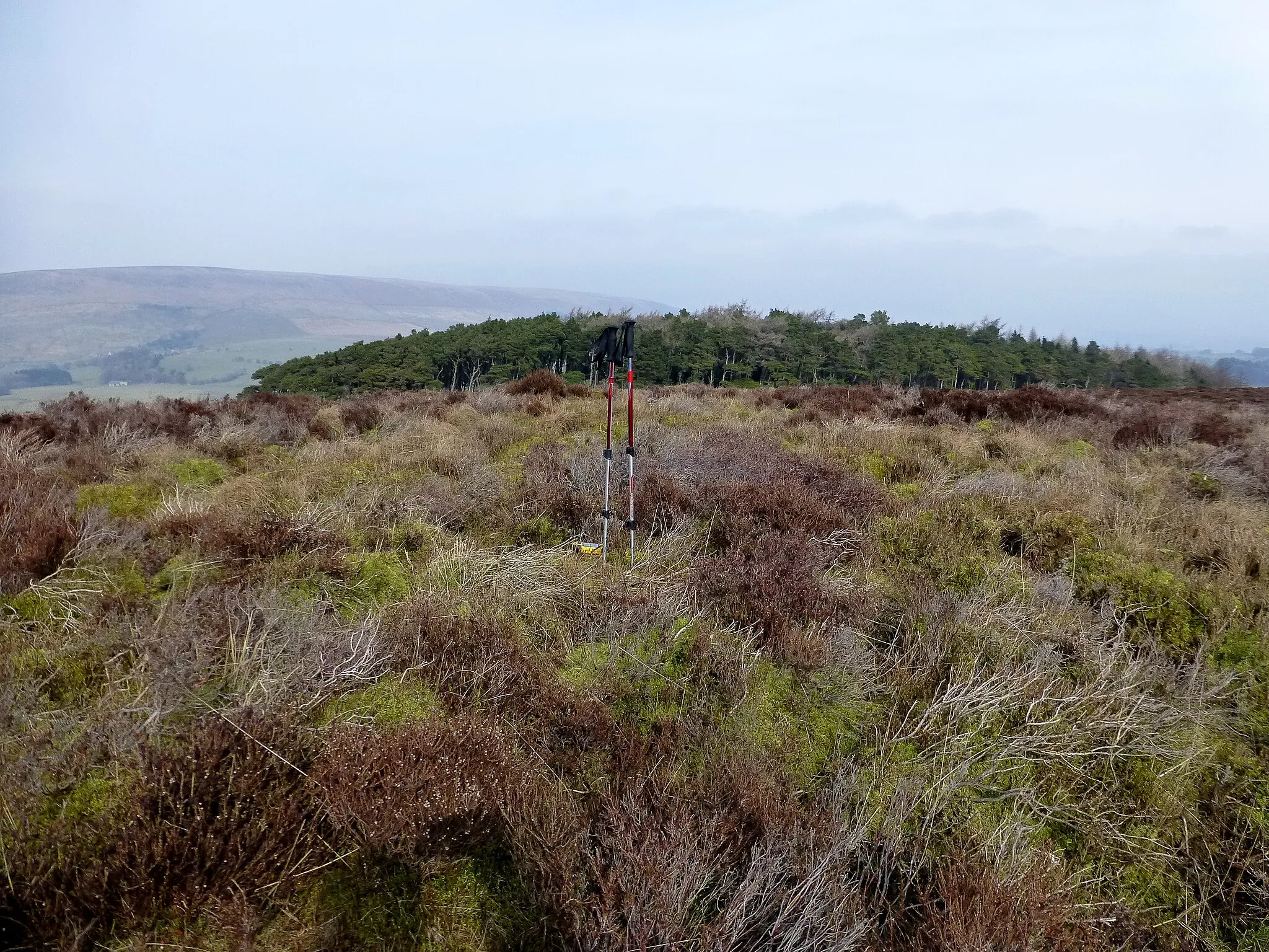
Turn Hill68 mPeakTurn Hill offers stunning panoramic views of the surrounding valleys and moorland. Pause here to appreciate the beauty of this elevated spot.
22 km
22 km
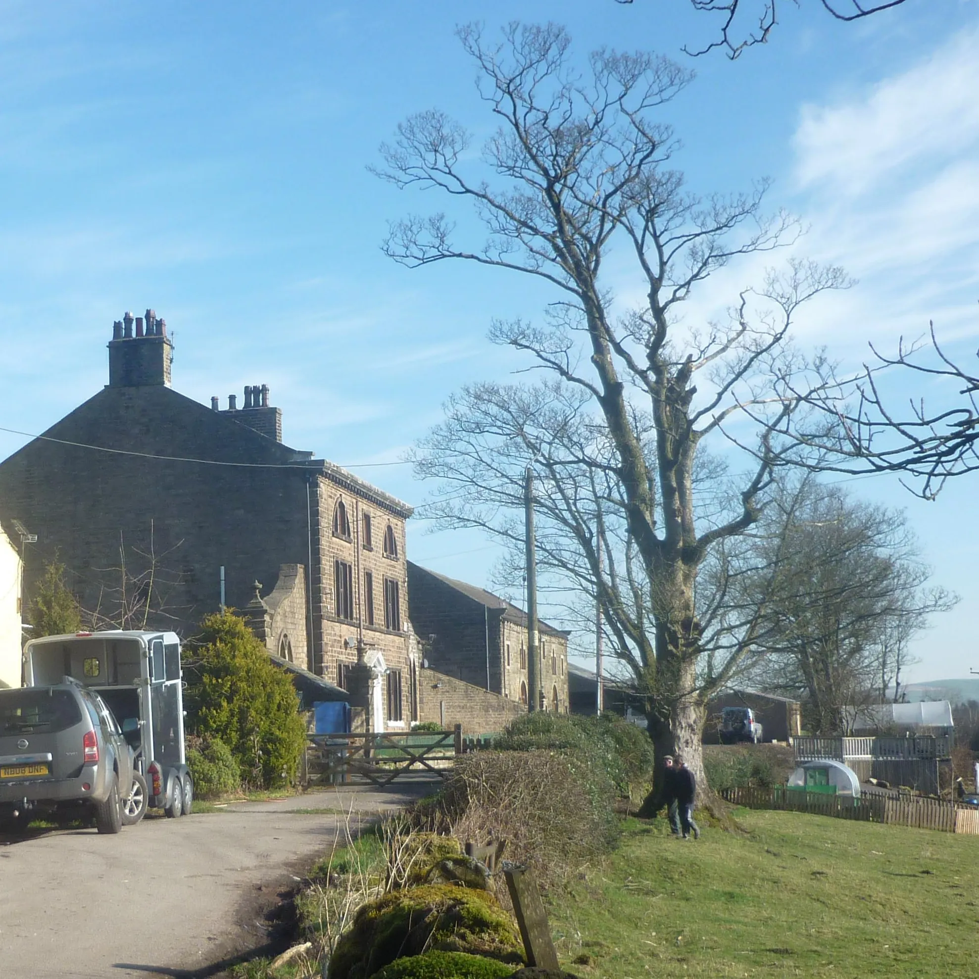
Bashall EavesVillageBashall Eaves is a small village known for its charming tea rooms and local produce. Indulge in some delicious treats and experience the warmth of Lancashire hospitality.
32 km
32 km
Hodder Bank Fell244 mPeakHodder Bank Fell is a hidden gem offering a tranquil escape from the hustle and bustle of everyday life. Take a moment to relax and enjoy the peaceful surroundings.
44 km
44 km
The Knot/Sugar Loaf200 mPeakThe Knot/Sugar Loaf is a prominent hill with panoramic views of Ribble Valley. Ascend to the top and be rewarded with breathtaking vistas of the rural landscapes.
50 km
50 km
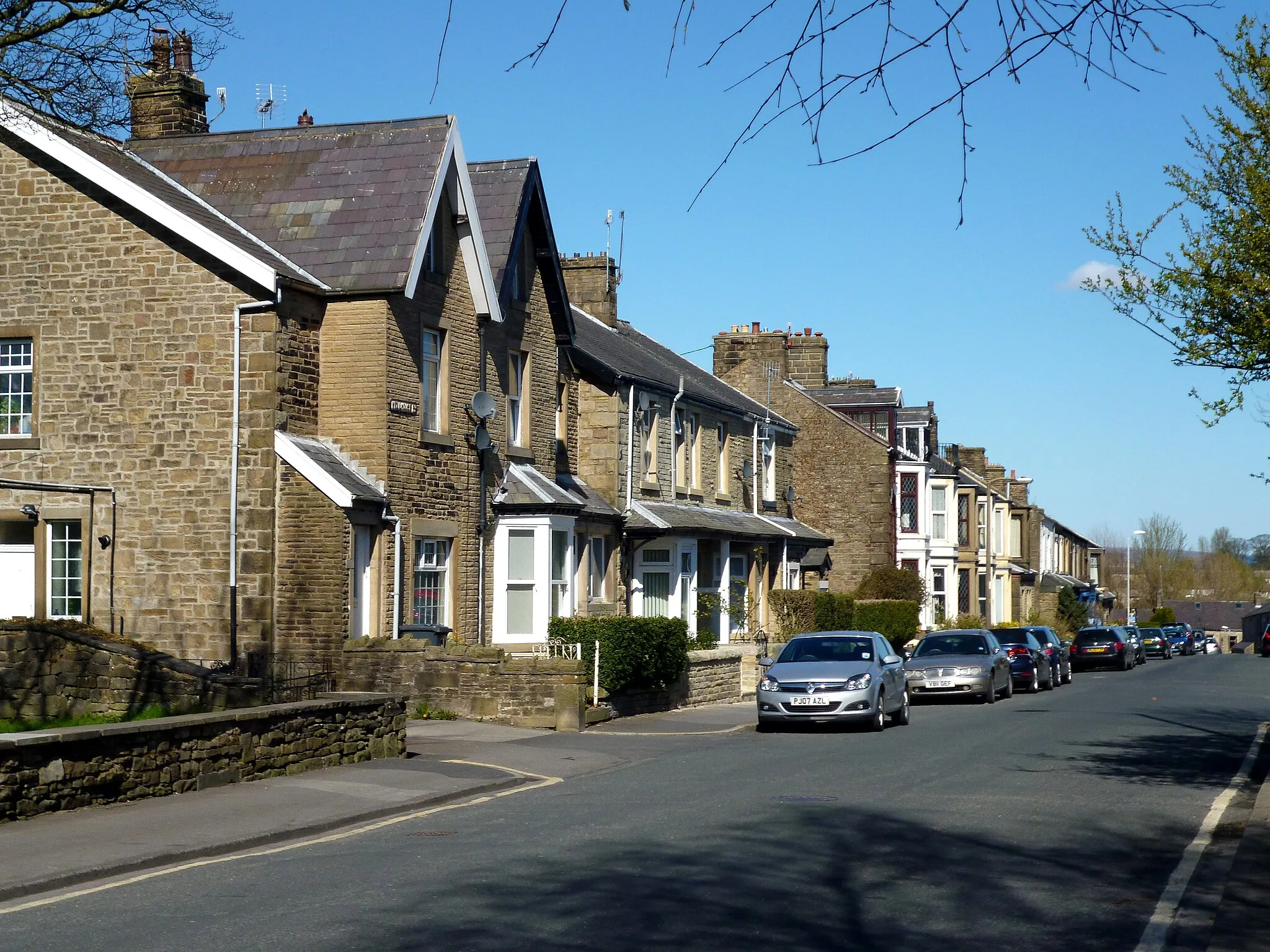
SlaidburnVillageSlaidburn is a charming village with historic buildings and a tranquil atmosphere. Explore its narrow streets and soak in the quiet beauty of the countryside.
64 km
64 km
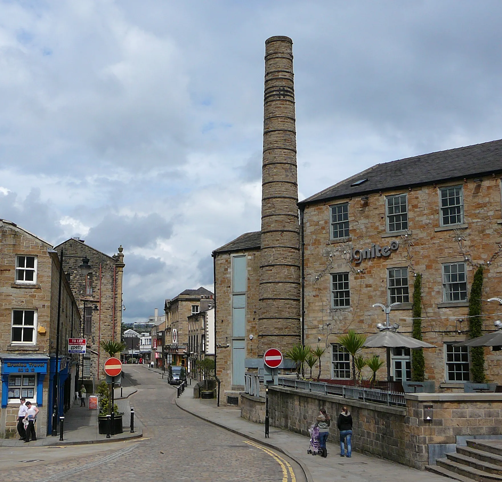
GisburnVillageGisburn is a quaint market town with a vibrant atmosphere. Visit the local shops and cafes, and experience the town's unique charm.
75 km
75 km
Hollin Top312 mPeakHollin Top is a hilltop viewpoint with panoramic views of the charming villages and lush countryside. Take a moment to savor the breathtaking landscapes.
80 km
80 km
Finish: Brierfield City centerBrierfield: Scenic Village Cycling Retreat
Cycling routes from Brierfield:
Gateway to the Dales Sabden and Gisburn Road Loop Pendle and Beyond Rossendale Grind Burnley and Pendle Epic Loop Colne and Hebden Bidge Gravel Ride Pennine Hills Loop Sowerby Bridge and Burnley Gravel Adventure Keighley and Hebden Bridge Adventure Lancashire Heritage Ride Clitheroe and Barrowford Loop Nelson and Colden Loop Sawley and Skipton Adventure Burnley and Bleasdale Gravel Loop Turn Hill and Chatburn Adventure
Cycling routes nearby: