Darwen Gravel Challenge
A gravel cycling route starting from Chorley
Conquer the challenging Darwen gravel challenge, showcasing Lancashire's rugged beauty.
Map

This challenging gravel route takes you through some of Lancashire's most rugged and scenic areas. With a difficulty level suitable for experienced cyclists, it provides an epic and rewarding cycling experience. Highlights along the route include Tims Peak, Darwen, Hail Storm Hill, and Smithy Bridge, each offering unique attractions and stunning vistas. Scored between 4 and 5, these highlights are definitely worth stopping by.
gravel
98 km
1378 m
Tough
Route profile
Highlights on the route
0 km
0 km
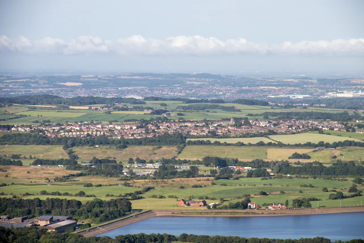
Start: Chorley City centerChorley: The perfect destination for challenging climbs and scenic descents
Chorley in Lancashire, United Kingdom, presents a mix of challenging climbs and beautiful descents, creating an exhilarating experience for road cyclists. The locality features several iconic cycling routes, including the renowned Belmont Road Climb, which boasts breathtaking views at the summit. Additionally, nearby locations like Rivington Pike provide further climbing challenges and stunning vistas. Chorley's landscape and cycling infrastructure make it a popular choice for road and gravel cyclists alike. With multiple cafes and bike shops catering to cyclists, Chorley earns a ranking of 4 as a great cycling-friendly area.16 km
16 km
Tims peak260 mPeakTims Peak is a notable landmark in the area, offering panoramic views and a challenging climb for gravel enthusiasts.
17 km
17 km
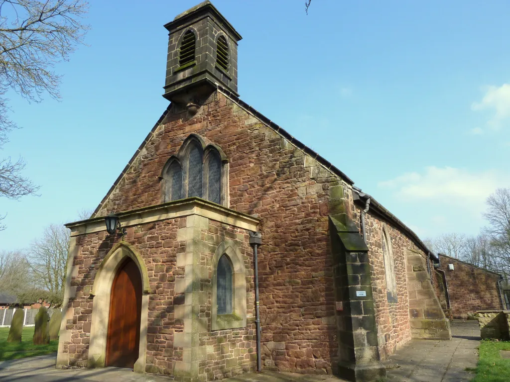
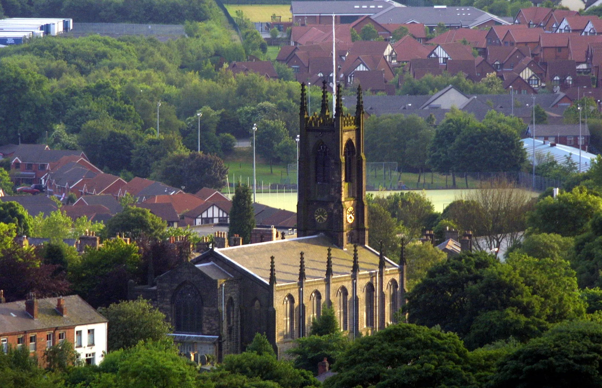
DarwenTownDarwen is a small town nestled amidst beautiful moorland, featuring historic architecture and a Victorian tower with breathtaking views.
36 km
36 km
Hail Storm Hill477 mPeakHail Storm Hill is a steep ascent that provides an adrenaline-filled challenge for gravel cyclists, rewarding them with stunning views at the top.
40 km
40 km
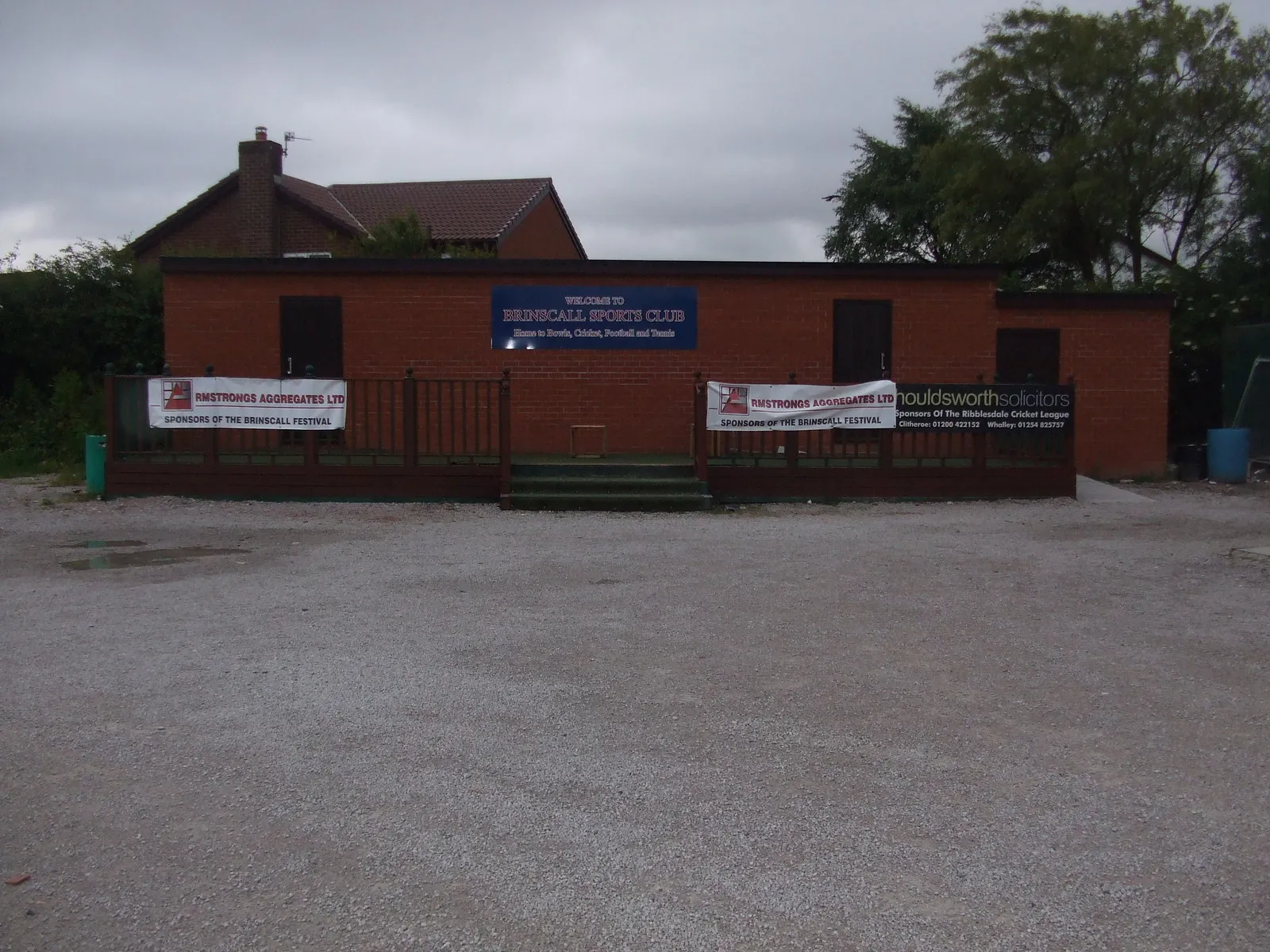
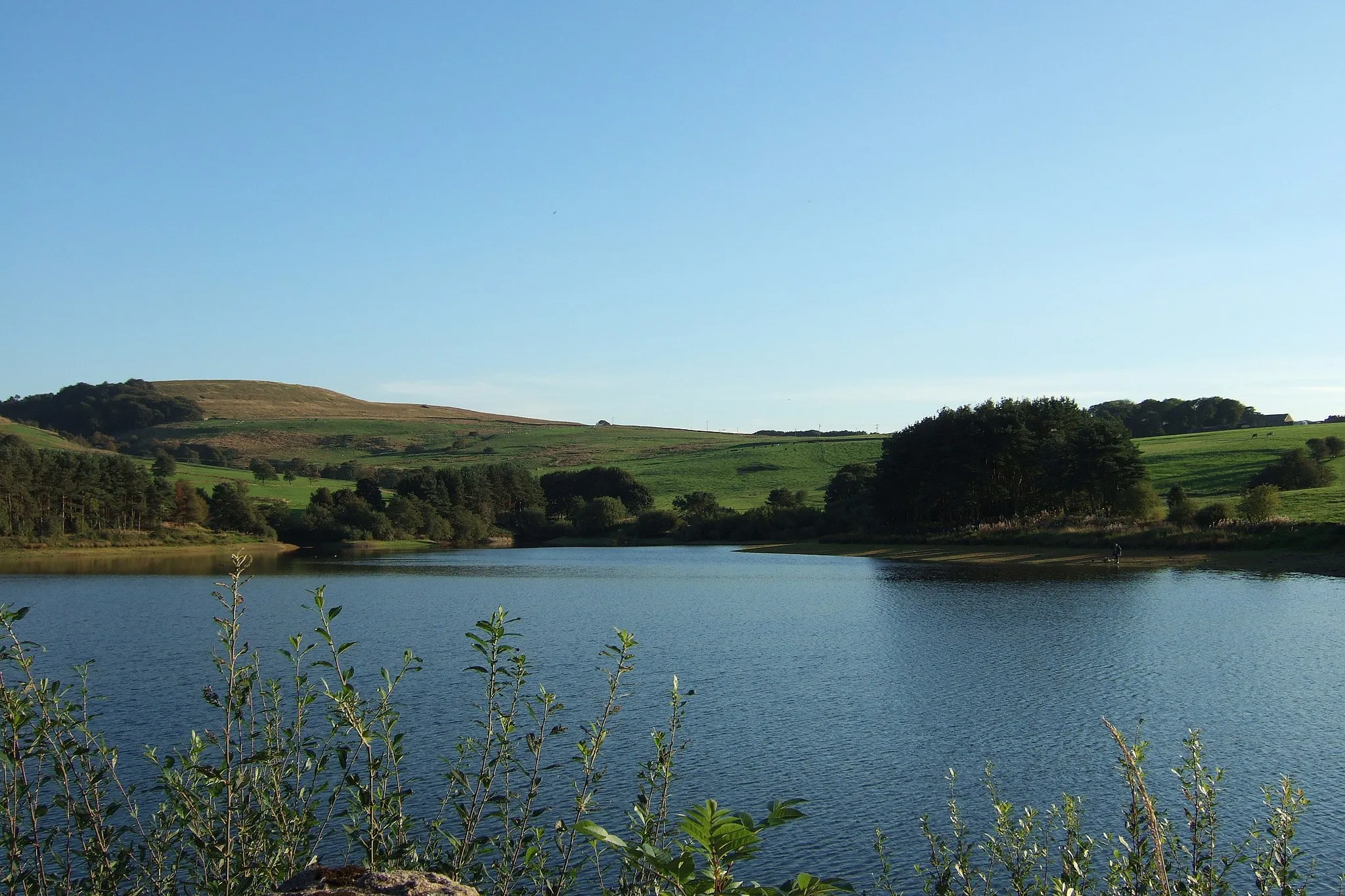
WhitworthTownWhitworth is a picturesque village known for its tranquil reservoirs and scenic cycling routes.
48 km
48 km
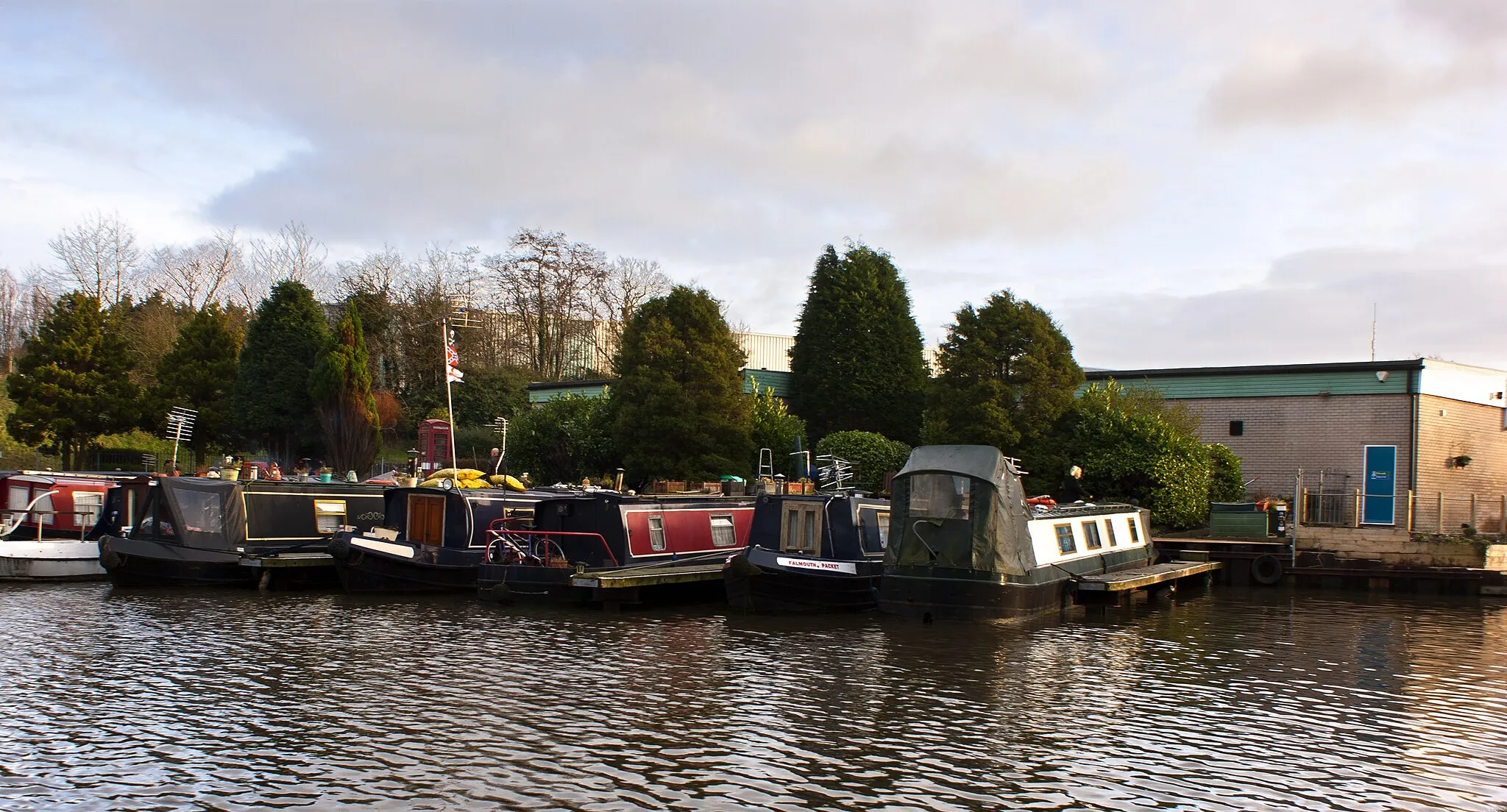
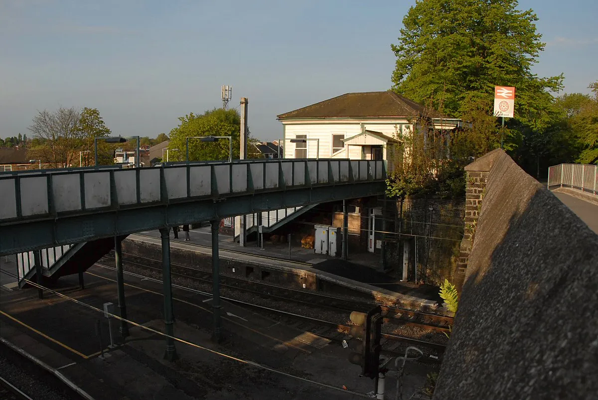
Smithy BridgeVillageSmithy Bridge is a charming village located along the Rochdale Canal, offering peaceful surroundings and a break from the challenging gravel terrain.
58 km
58 km
HeywoodTownHeywood is a historic market town known for its rich industrial heritage and Victorian architecture, providing a unique atmosphere for cyclists to explore.
76 km
76 km
BoltonTownBolton is a vibrant city located at the foot of the West Pennine Moors, offering a bustling center, vibrant cultural scene, and plenty of opportunities for cyclists to refuel and relax.
94 km
94 km
The ViewpointViewpointThe Viewpoint offers stunning panoramic views of the beautiful Lancashire countryside, serving as a reward for conquering the challenging terrain.
98 km
98 km
ChorleyTownChorley provides a starting point for this epic gravel challenge, offering a range of amenities and historic attractions for cyclists to explore before embarking on the journey.
98 km
98 km
Finish: Chorley City centerChorley: The perfect destination for challenging climbs and scenic descents
Cycling routes from Chorley:
Chorley Circular Road Cycling Route Gravel Adventure around Chorley Chorley Cycling Adventure Scenic Road Cycling Route Chorley Countryside Road Cycling Route Chorley to Coppull Loop Horwich Gravel Adventure Darwen Gravel Challenge Chorley to Coppull Gravel Ride Blackburn & Wheelton Exploration Coppull to Shevington and Euxton Loop
Cycling routes nearby: