The Lancashire Road Adventure
A road cycling route starting from Rawtenstall
Embark on a scenic road journey through Lancashire's picturesque landscapes.
Map
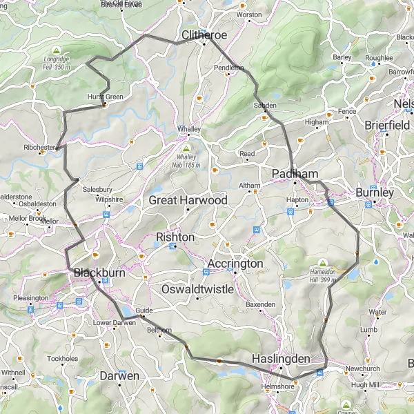
Enjoy the beauty of Lancashire on this 70-kilometer road adventure. With a total ascent of 1,269 meters, this route offers a moderate challenge suitable for intermediate cyclists. Highlights along the way include Haslingden, Blackburn, the Colourfields Panopticon, Aighton, Bailey and Chaigley, Clitheroe, Padiham, Nutshaw Hill, and Constable Lee. The Lancashire Road Adventure showcases the county's diverse scenery, from rolling hills to charming towns, making it a delightful cycling experience.
road
70 km
1269 m
Chill
Route profile
Highlights on the route
0 km
0 km
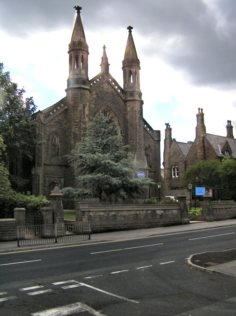
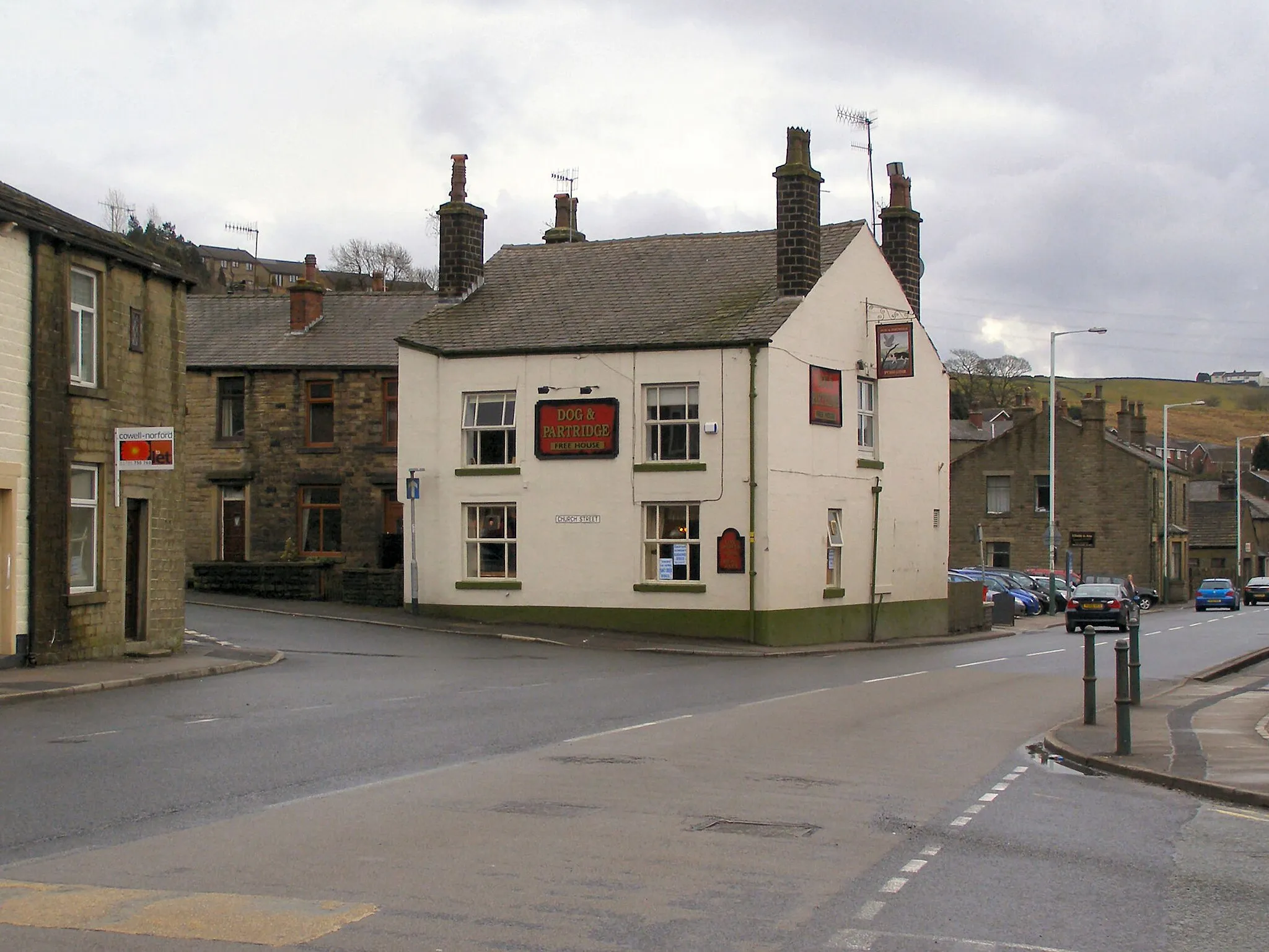
Start: Rawtenstall City centerRawtenstall: Scenic routes and local road rides
Rawtenstall is a town in Lancashire, United Kingdom. As a road and gravel cyclist, you'll find plenty of cycling opportunities here. The town is located near several popular cycling routes, such as the Rossendale Valley and the Mary Towneley Loop. These routes offer a mix of challenging climbs and scenic countryside. Rawtenstall itself also has some great local roads perfect for a leisurely ride.3 km
3 km
HaslingdenTownHaslingden is a quaint town along the route, known for its historic buildings and welcoming atmosphere. Enjoy the peaceful ambiance as you cycle through.
17 km
17 km
BlackburnTownBlackburn, a lively town with a rich industrial heritage, offers a vibrant shopping district. Take a break and explore the diverse range of shops and eateries.
17 km
17 km
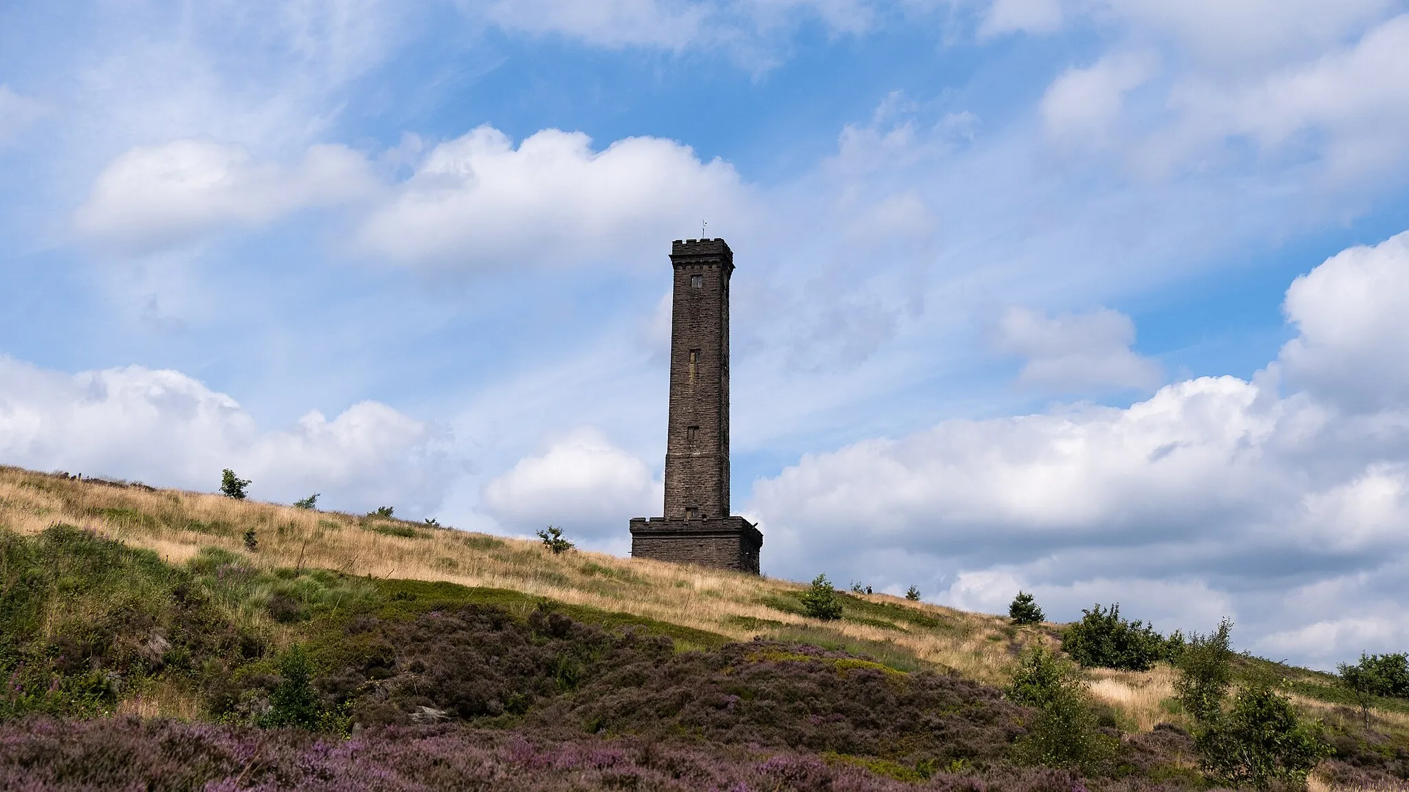
Colourfields PanopticonViewpointMake a stop at the Colourfields Panopticon located on Blackburn's outskirts. This beautiful sculpture provides a unique viewpoint to admire the surrounding nature and landscapes.
37 km
37 km
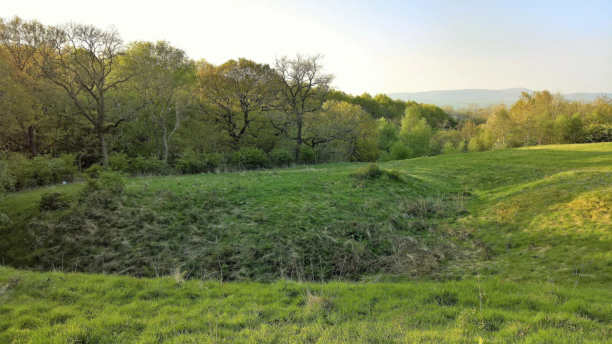
Aighton, Bailey and ChaigleyHamletAighton, Bailey and Chaigley is a scenic area known for its picturesque countryside. Marvel at the lush green fields and peaceful surroundings.
45 km
45 km
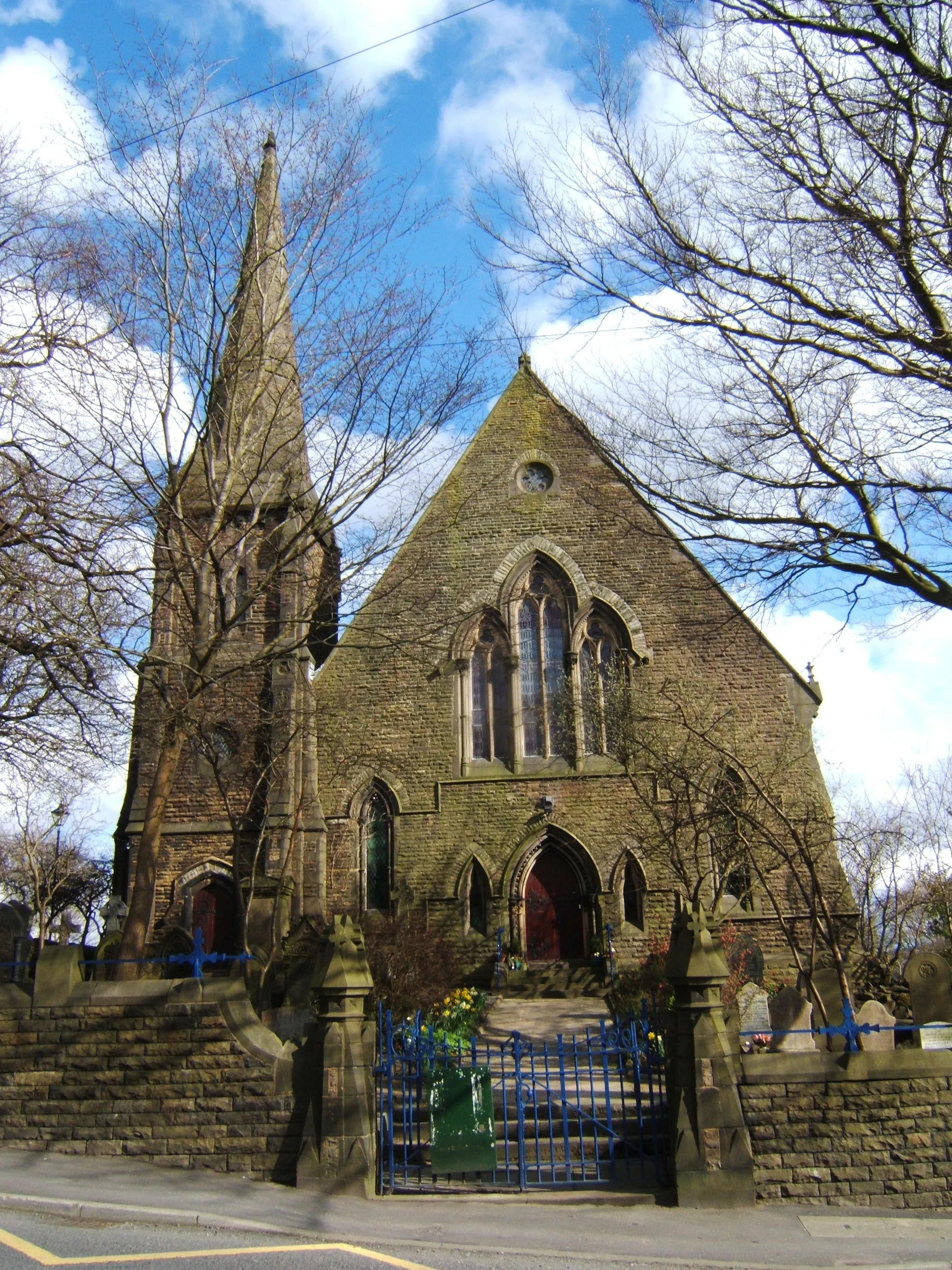
ClitheroeTownClitheroe, a bustling market town with a rich history, offers a range of shops, cafes, and a majestic castle. Explore the town's heritage and enjoy the vibrant atmosphere.
56 km
56 km
PadihamTownPadiham, located along the route, is a charming town with a unique character. Situated on the banks of the River Calder, it offers riverside walks and beautiful scenery.
63 km
63 km
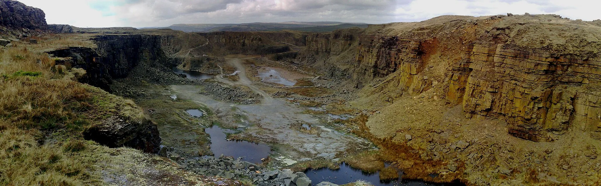
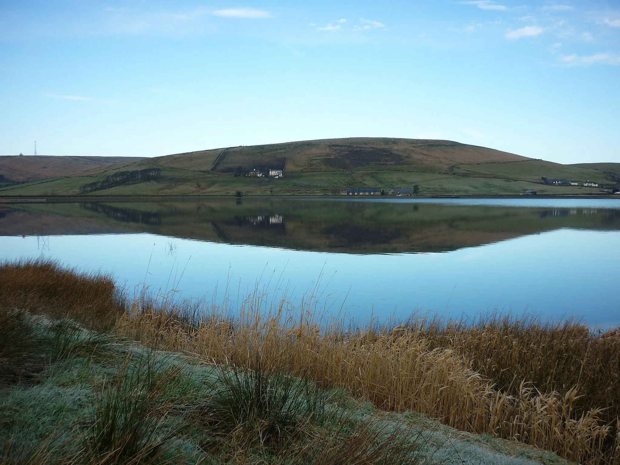
Nutshaw Hill384 mPeakNutshaw Hill is a challenging climb along the route that rewards cyclists with panoramic views of the surrounding Lancashire countryside.
69 km
69 km
Constable LeeHamletConstable Lee, nestled in the rolling hills, provides a serene and peaceful spot to pause and appreciate the beauty of Lancashire's landscapes.
70 km
70 km
Finish: Rawtenstall City centerRawtenstall: Scenic routes and local road rides
Cycling routes from Rawtenstall:
Cycling routes nearby: