The Todmorden Moor Loop
A road cycling route starting from Rawtenstall
Experience the rugged moorlands and breathtaking views on this road cycling loop.
Map
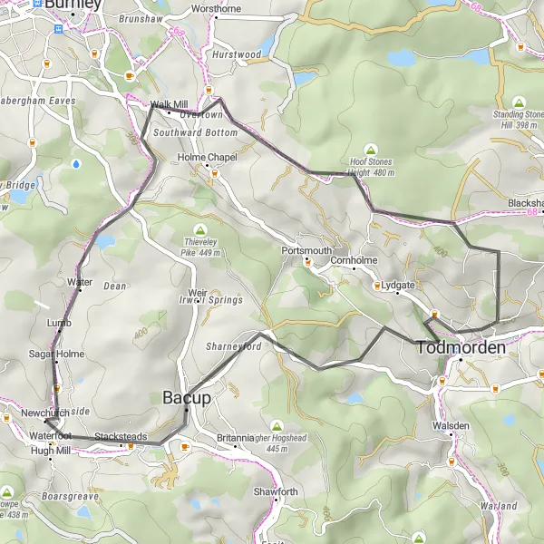
Discover the scenic beauty of the moors on this 38-kilometer road cycling loop. With an ascent of 836 meters, this route offers a moderate challenge suitable for cyclists of varying levels of experience. Highlights along the way include Whitewell Bottom, Overtown, Hoof Stones Height, Todmorden, and Todmorden Moor. The Todmorden Moor Loop guarantees stunning vistas and a unique appreciation for the wild beauty of the moorlands.
road
38 km
836 m
Chill
Route profile
Highlights on the route
0 km
0 km
Start: Newchurch Village centerRawtenstall: Scenic routes and local road rides
Rawtenstall is a town in Lancashire, United Kingdom. As a road and gravel cyclist, you'll find plenty of cycling opportunities here. The town is located near several popular cycling routes, such as the Rossendale Valley and the Mary Towneley Loop. These routes offer a mix of challenging climbs and scenic countryside. Rawtenstall itself also has some great local roads perfect for a leisurely ride.1 km
1 km
Whitewell BottomHamletWhitewell Bottom offers peaceful surroundings, with charming cottages nestled among the hills. Enjoy the tranquility as you cycle through.
10 km
10 km
OvertownHamletOvertown is a small village surrounded by beautiful landscapes, providing an ideal spot to take a break and admire the views.
15 km
15 km
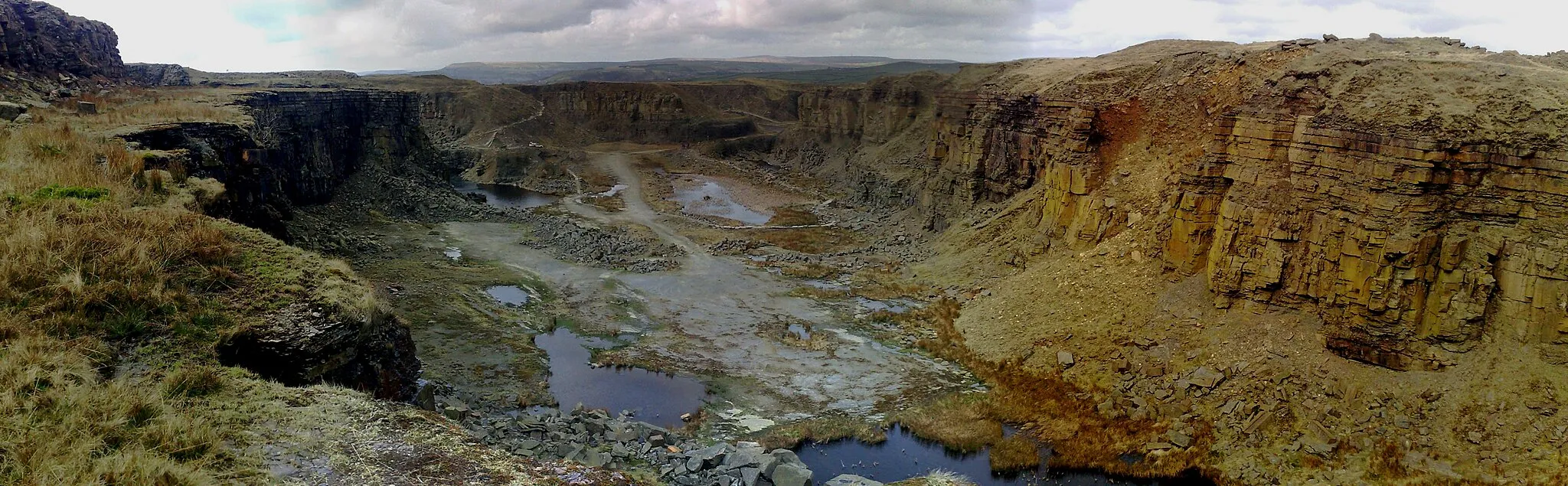
Hoof Stones Height480 mPeakHoof Stones Height, known for its standing stones and remarkable panoramic views, showcases the natural beauty of the moorlands.
23 km
23 km
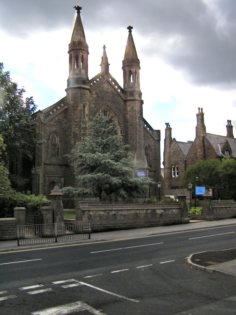
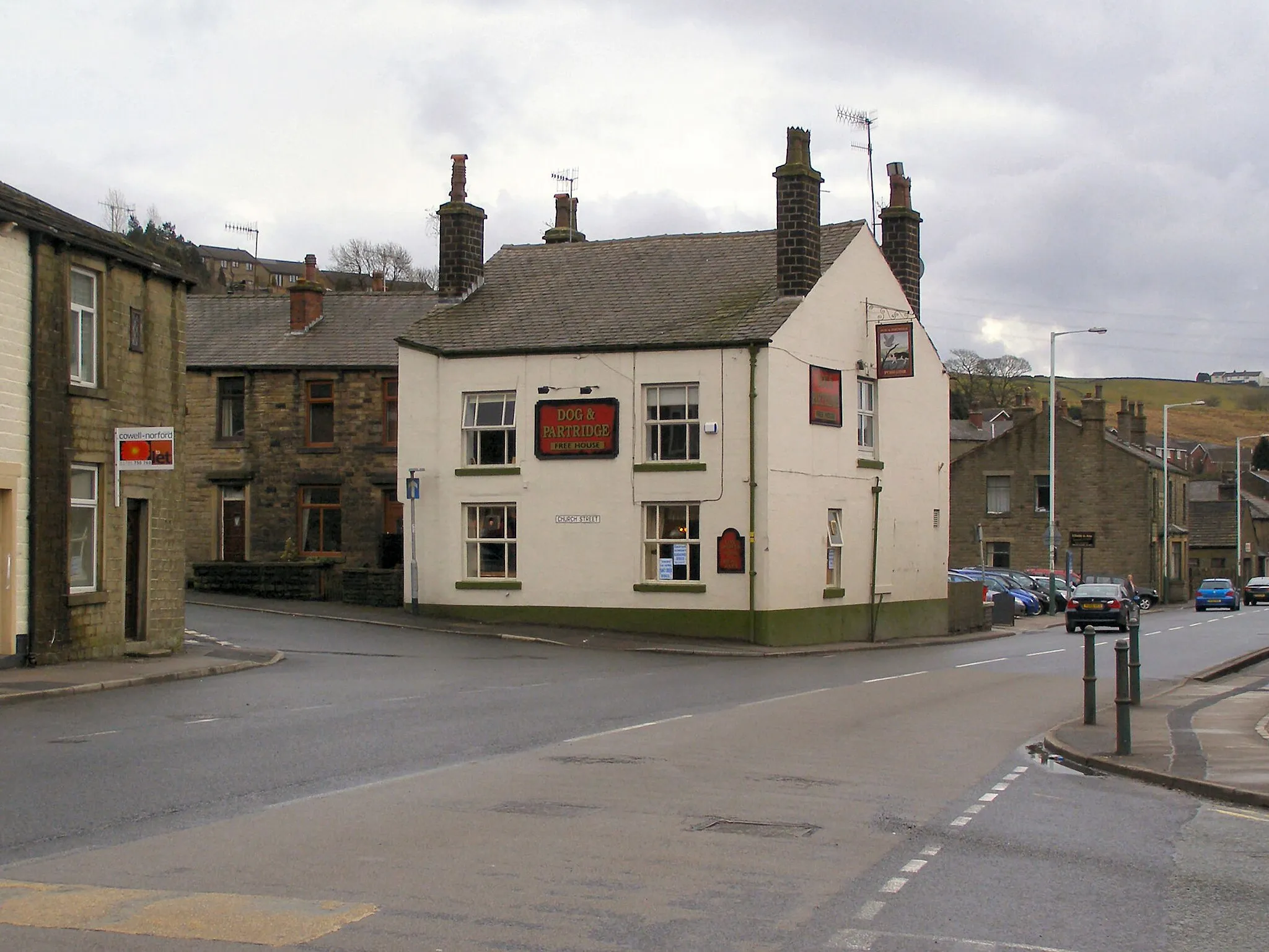
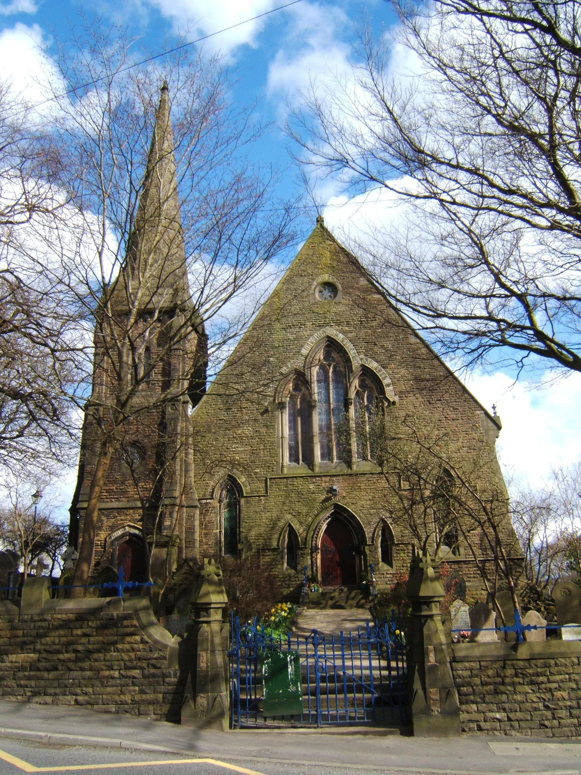
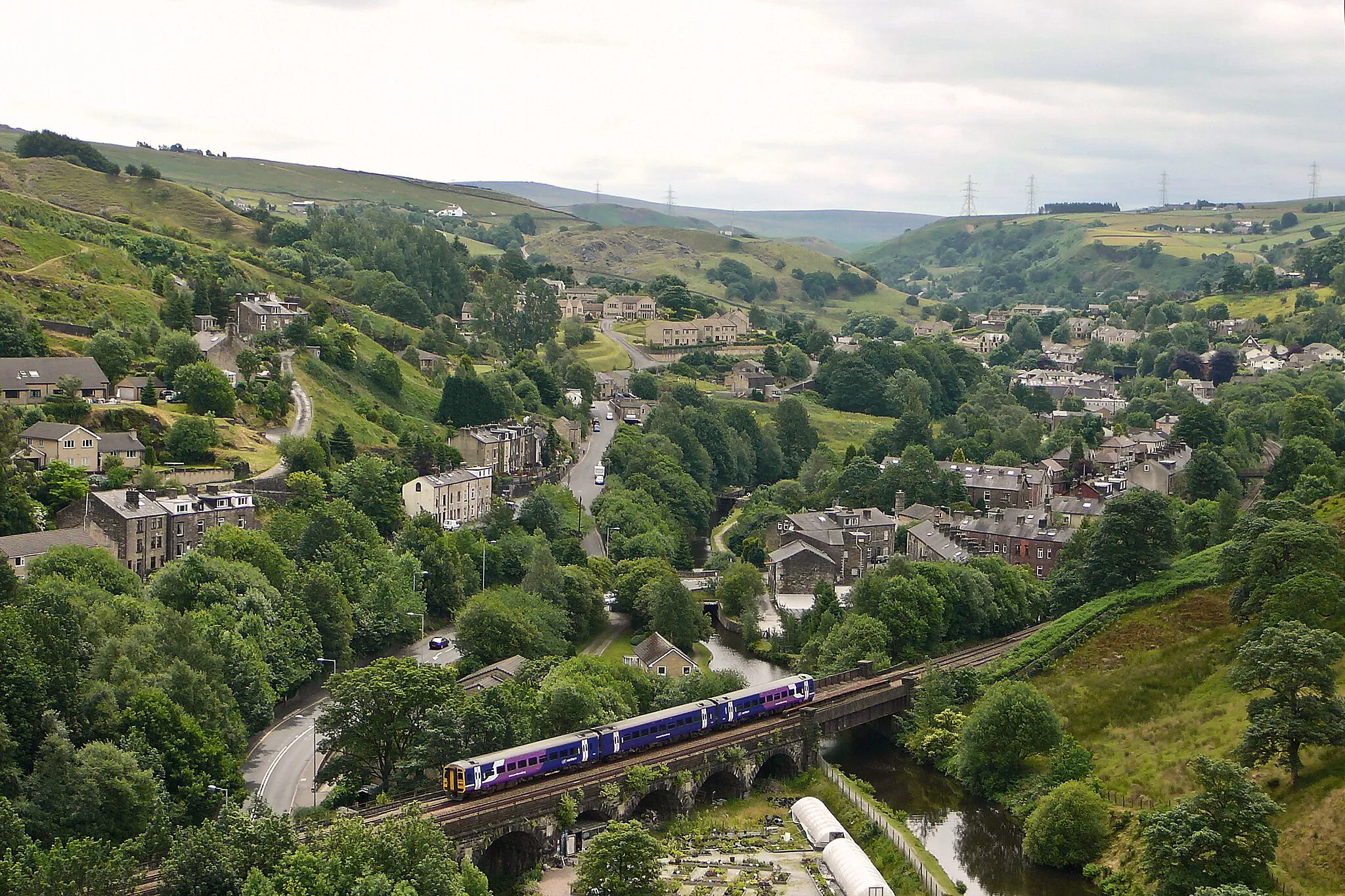
TodmordenTownTodmorden, nestled in a picturesque valley, offers a range of independent shops and local cafes. Take a moment to explore and enjoy the town's charm.
28 km
28 km
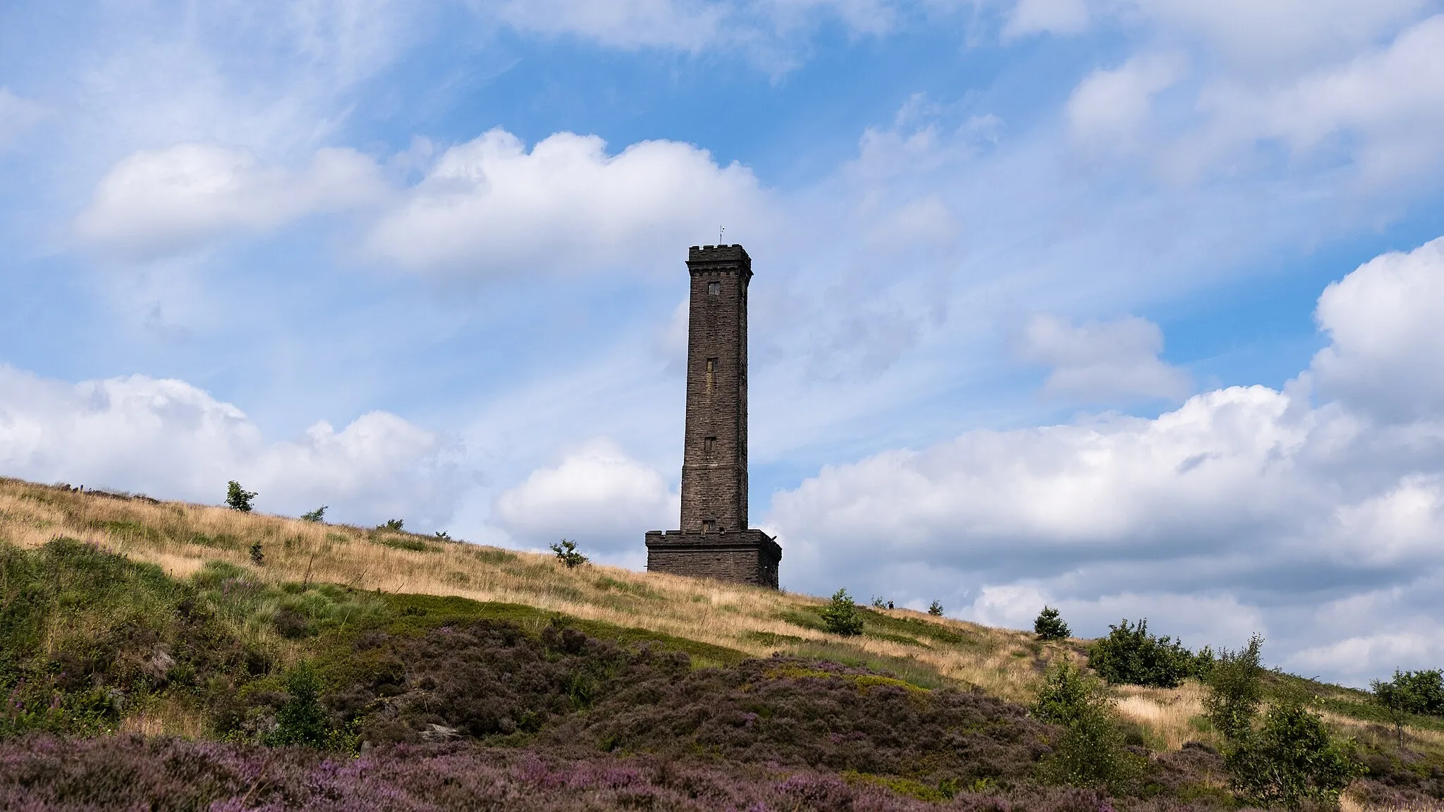
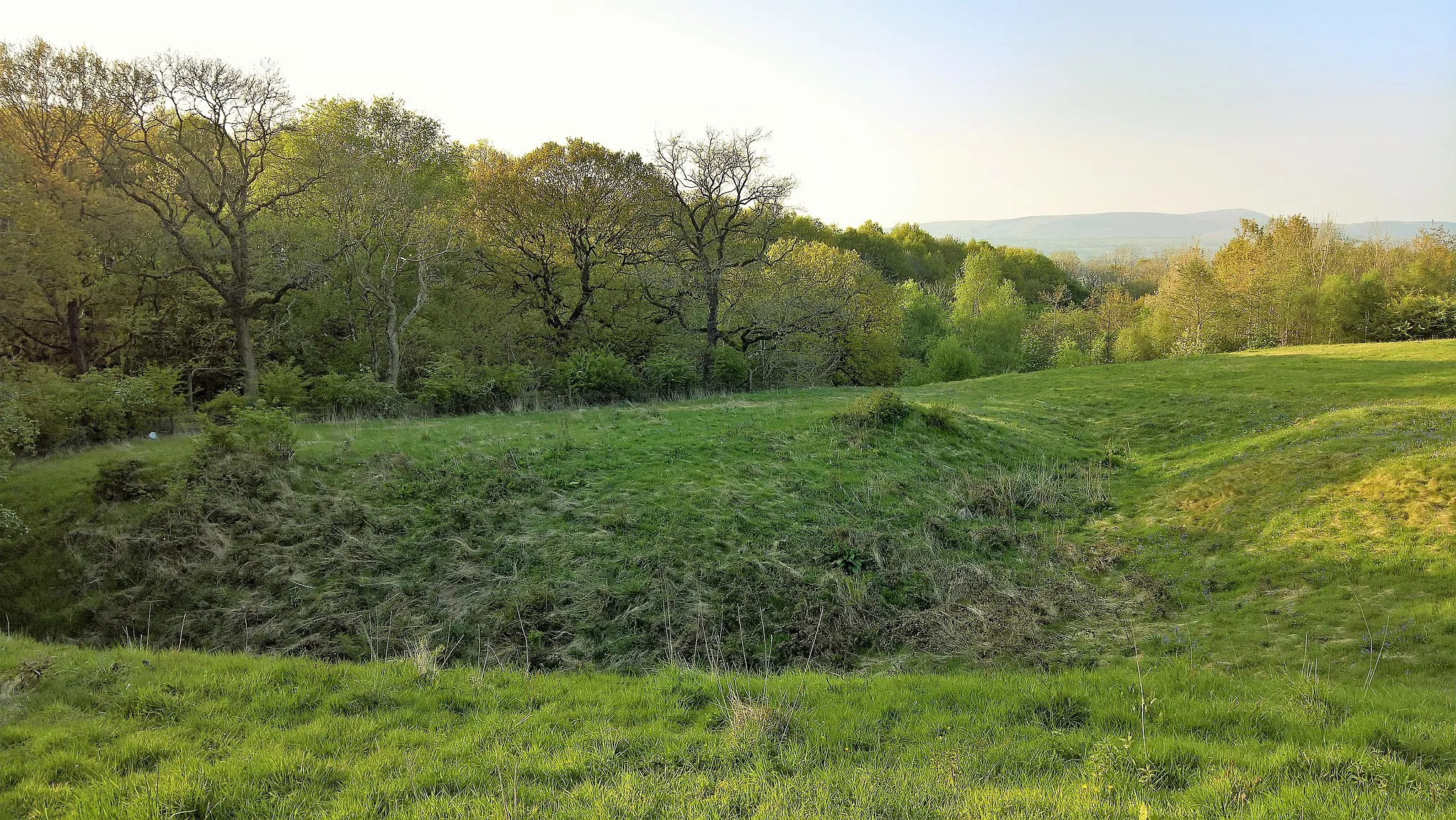
Todmorden Moor421 mPeakTodmorden Moor, located towards the end of the route, unveils expansive views of the surrounding moorlands. Don't forget to take in the dramatic scenery.
38 km
38 km
Finish: Newchurch Village centerRawtenstall: Scenic routes and local road rides
Cycling routes from Rawtenstall:
Cycling routes nearby: