Gravel Adventure to Celtic Hills
A gravel cycling route starting from Peterculter
Embark on a thrilling gravel adventure to the Celtic Hills
Map
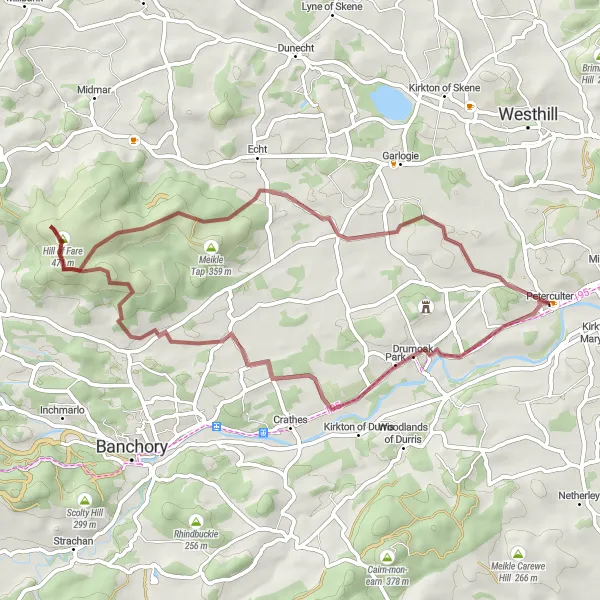
The Gravel Adventure to Celtic Hills is a 47 km long route with an ascent of 683 meters. This off-road cycling experience takes you through rugged terrains and offers a unique challenge to gravel enthusiasts. The difficulty level of this route is moderate, suitable for experienced amateur cyclists looking to explore more adventurous paths. Prepare for thrilling descents and stunning panoramas during the ride.
gravel
47 km
683 m
Tough
Route profile
Highlights on the route
0 km
0 km
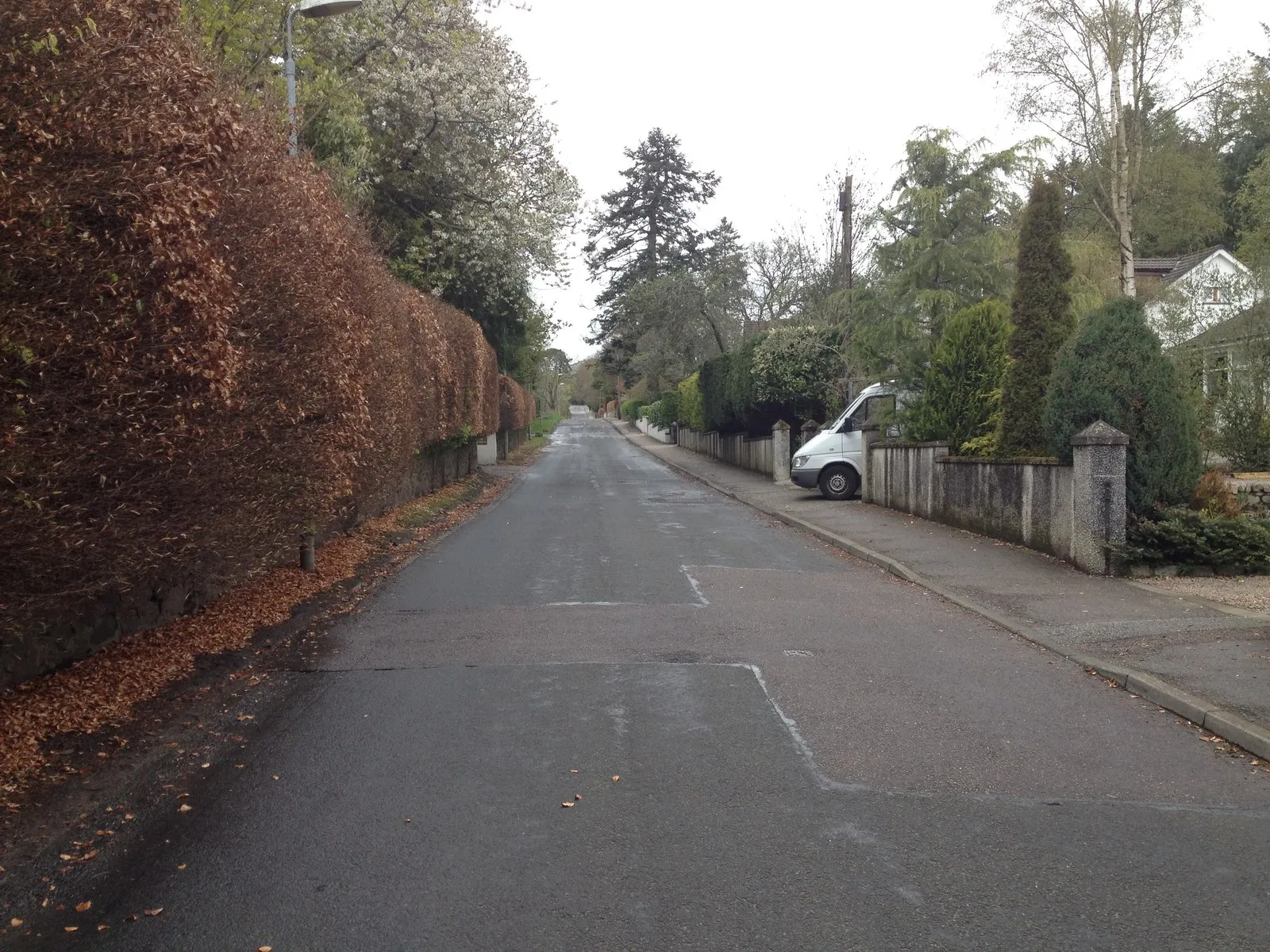
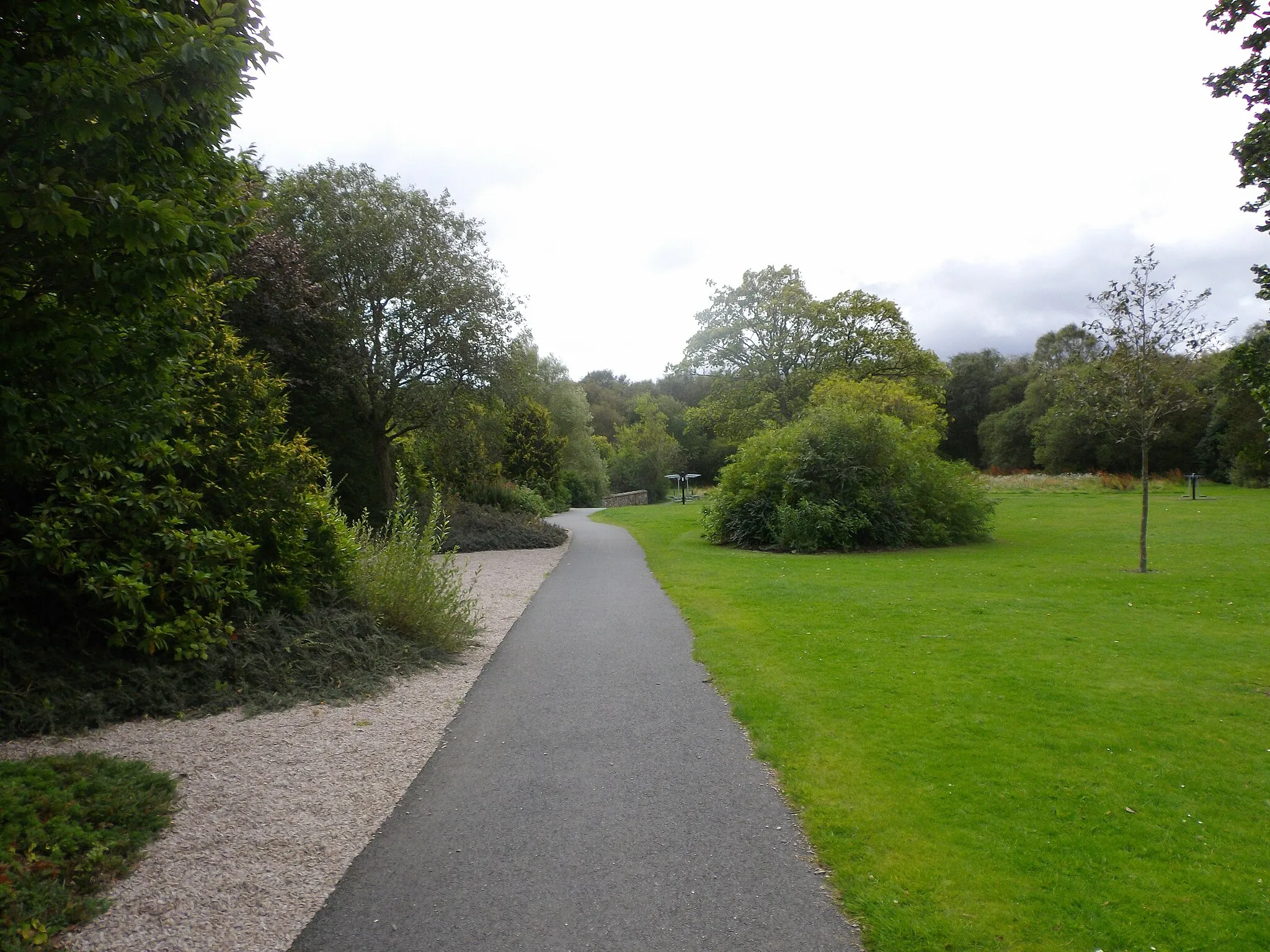
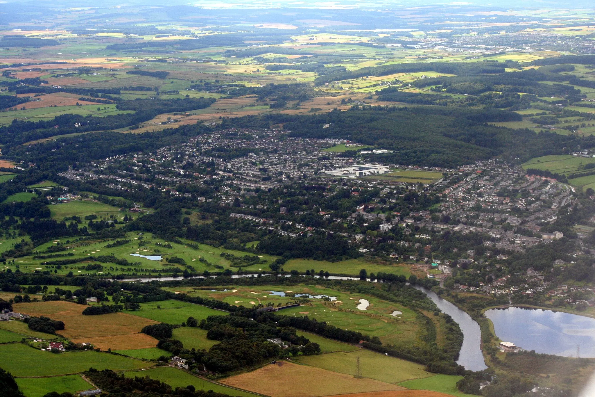
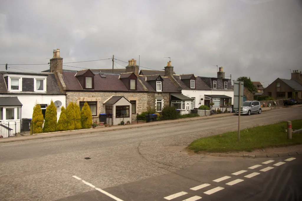
Start: Peterculter Village centerPeterculter: Serene cycling amidst stunning natural beauty.
Peterculter, located in the North Eastern Scotland region of the United Kingdom, offers a fantastic cycling experience for both road and gravel cyclists. The area is known for its stunning natural scenery, providing breathtaking views throughout the cycling routes. With well-maintained roads and various terrain options, Peterculter caters to all types of cyclists, from recreational riders to experienced adventurers. While it may not be home to any legendary climbs, the region's tranquility, cycling-friendly infrastructure, and picturesque landscapes make it an ideal destination for cycling enthusiasts seeking an enjoyable and peaceful ride.14 km
14 km
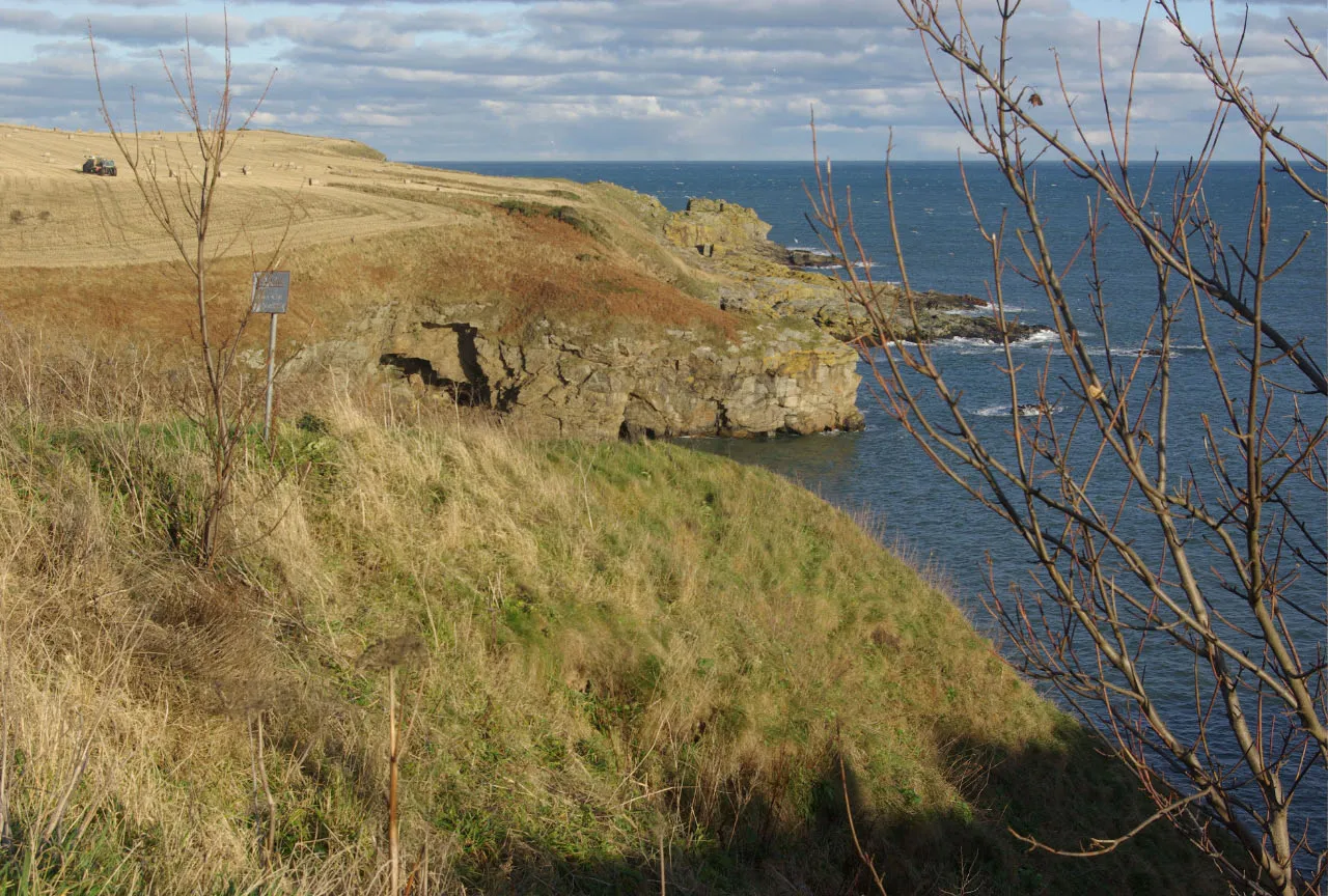
Meikle Tap359 mPeakAs you approach Meikle Tap, an iconic hill in the area, you will be rewarded with breathtaking views of the surrounding countryside. Take a moment to soak in the beauty of the landscape.
21 km
21 km
Hill of Fare471 mPeakHill of Fare offers a challenging climb but rewards the effort with fantastic views from the top. Enjoy the sense of accomplishment and the stunning vistas.
29 km
29 km
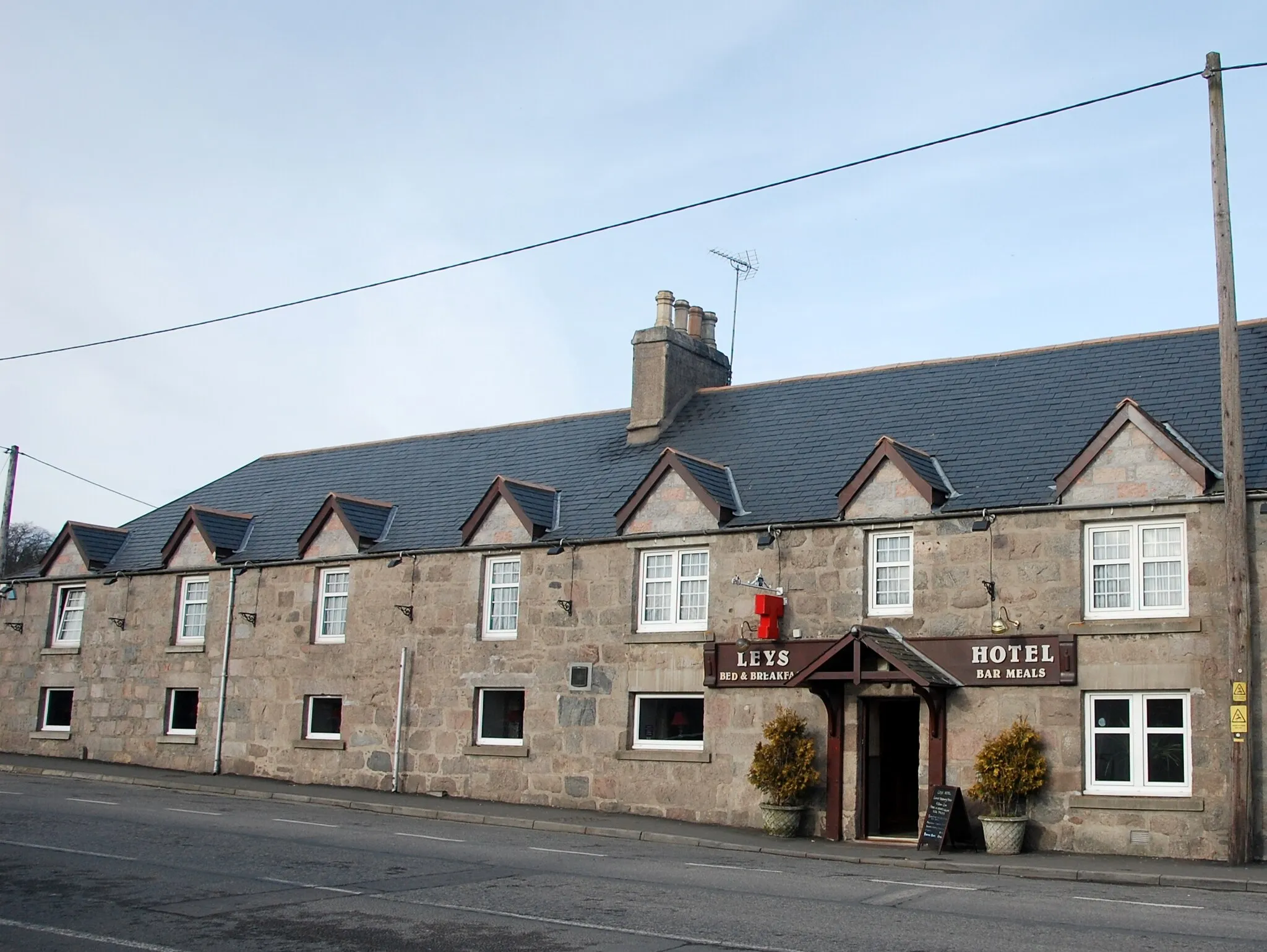
RaemoirHamletRaemoir is a glorious natural site with rolling hills and scenic beauty. Pause for a moment and admire the serene surroundings.
42 km
42 km
DrumoakVillageDrumoak, a picturesque village known for its natural scenery and tranquil atmosphere, serves as the perfect stopping point to take in the peaceful surroundings.
47 km
47 km
Finish: Peterculter Village centerPeterculter: Serene cycling amidst stunning natural beauty.
Cycling routes nearby: