Yorkshire Challenge
A road cycling route starting from Brayton
A challenging road ride through scenic Yorkshire landscapes
Map
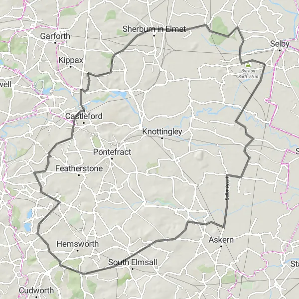
Get ready for a challenging road cycling expedition through the scenic landscapes of Yorkshire. This 89-kilometer route features steep climbs, thrilling descents, and stunning vistas that will leave you in awe.
road
89 km
454 m
Savage
Route profile
Highlights on the route
0 km
0 km
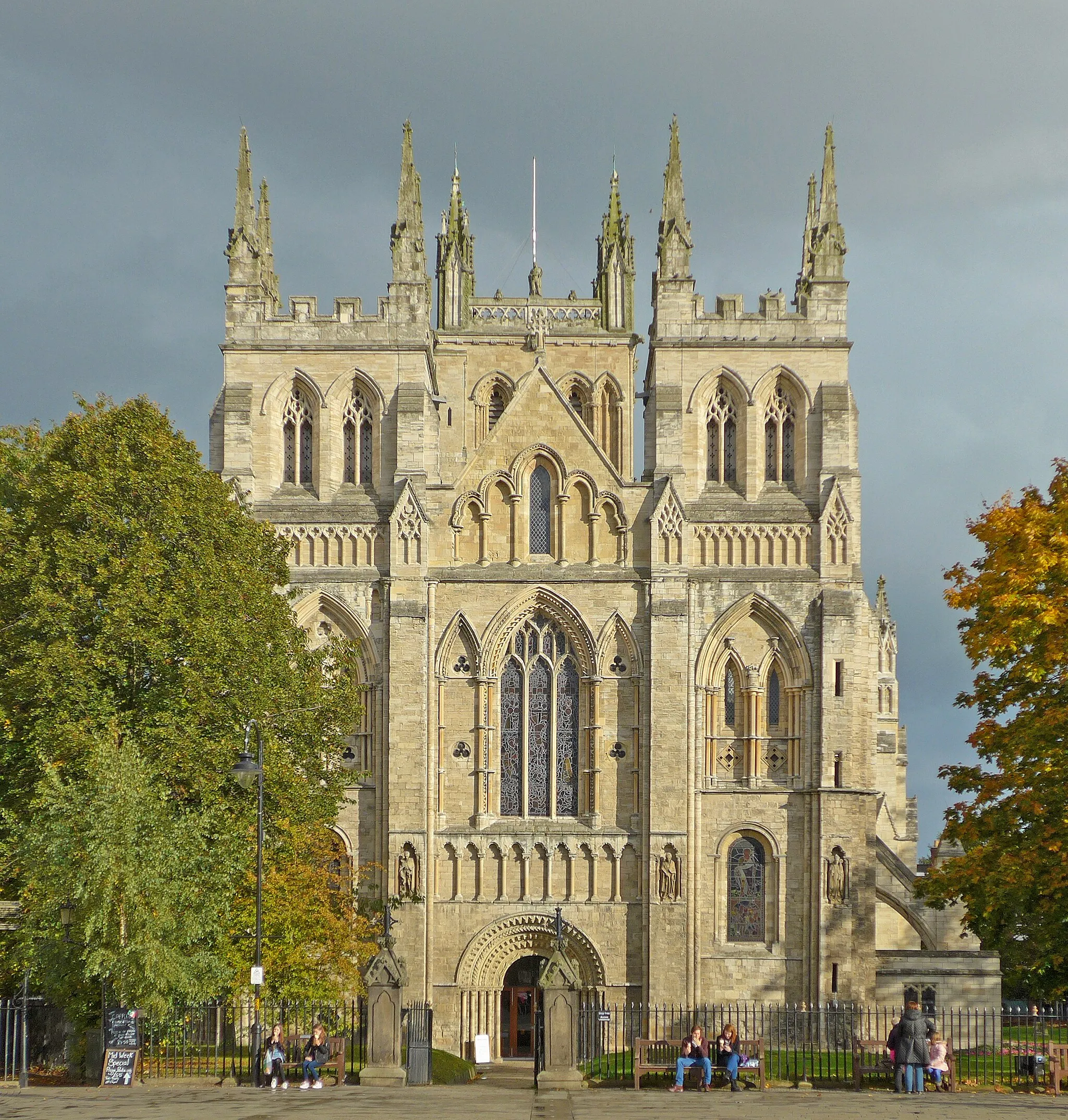
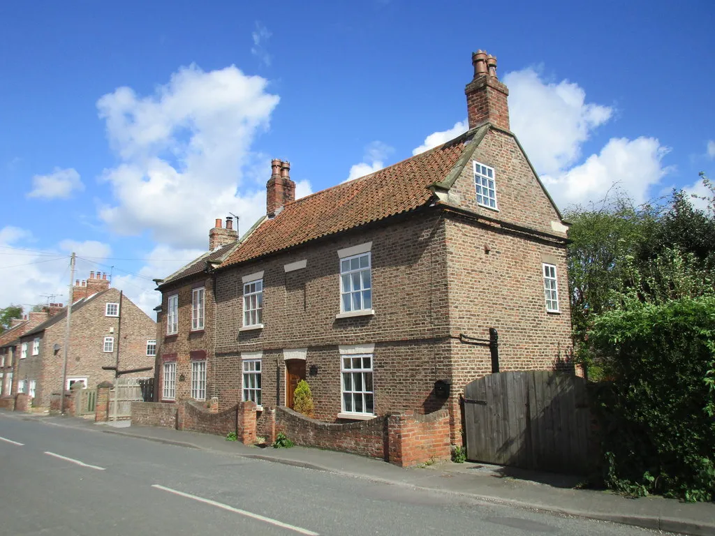
Start: Brayton Village centerBrayton: Cycling paradise with access to famous climbs in North Yorkshire, United Kingdom.
Brayton is a charming locality located in North Yorkshire, United Kingdom. For road and gravel cyclists, Brayton offers a diverse range of cycling routes with stunning countryside views. The roads in the area are well-suited for cycling, and there are also gravel trails available for those looking for off-road adventures. Nearby, the iconic roads of the Yorkshire Dales National Park provide challenging climbs and exhilarating descents, making Brayton a popular destination for cycling enthusiasts. Cyclists visiting Brayton can also explore the nearby famous climb of Buttertubs Pass.8 km
8 km
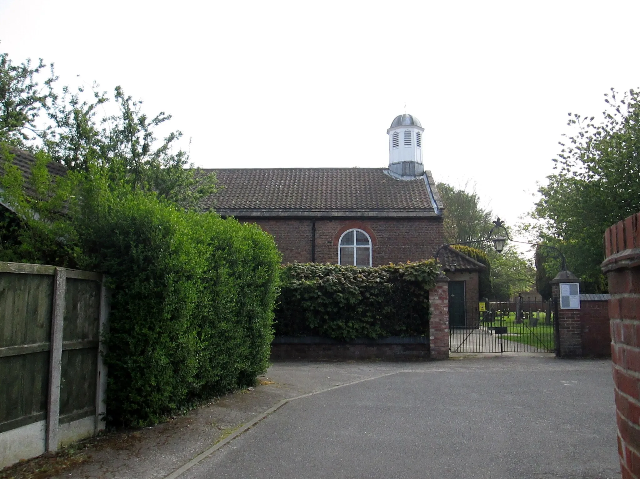
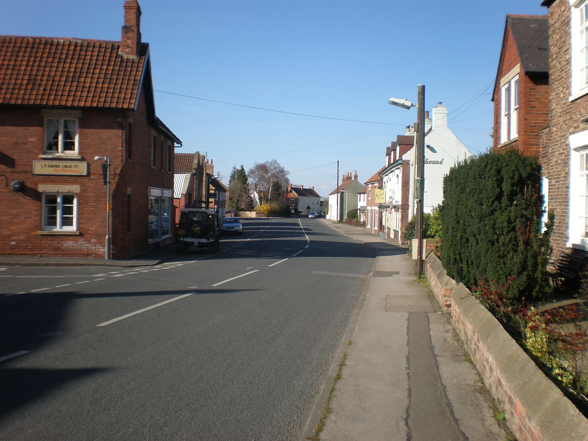
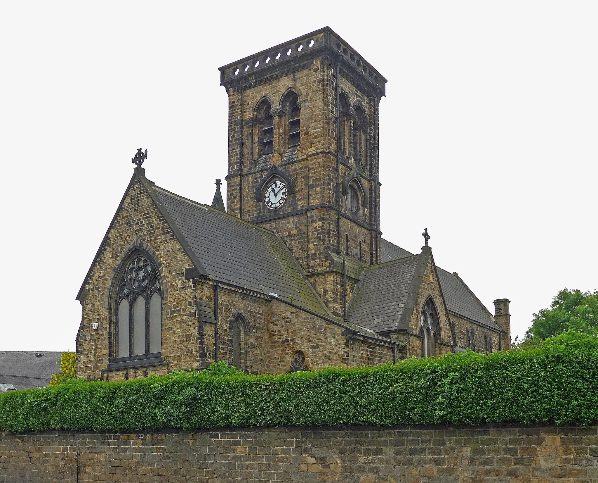
HensallVillageExplore Hensall and uncover its industrial past, with remnants of its mining heritage scattered throughout the village.
30 km
30 km
South ElmsallTownPass through South Elmsall, a former coal mining town that has transformed into a vibrant community with a rich cultural heritage.
40 km
40 km
South HiendleyVillageMarvel at the picturesque beauty of South Hiendley, a village nestled amidst rolling hills and surrounded by idyllic countryside.
59 km
59 km
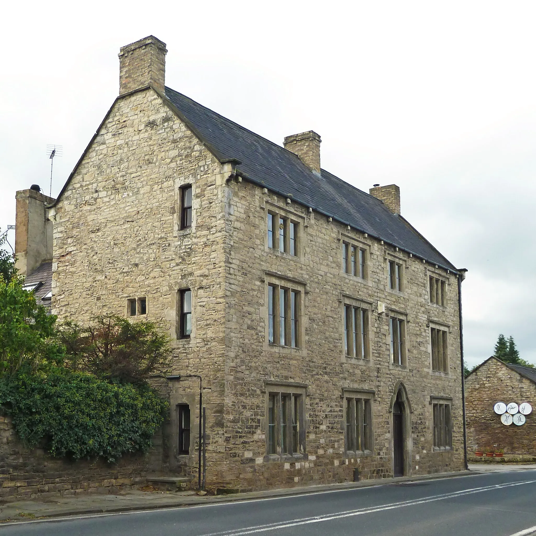
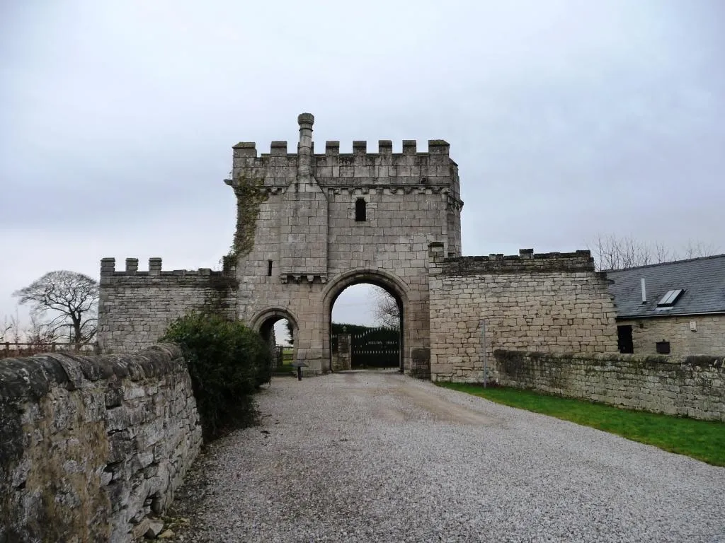
CastlefordTownMake a stop at Castleford, a town known for its historic castle ruins and the fascinating history of its mining communities.
86 km
86 km
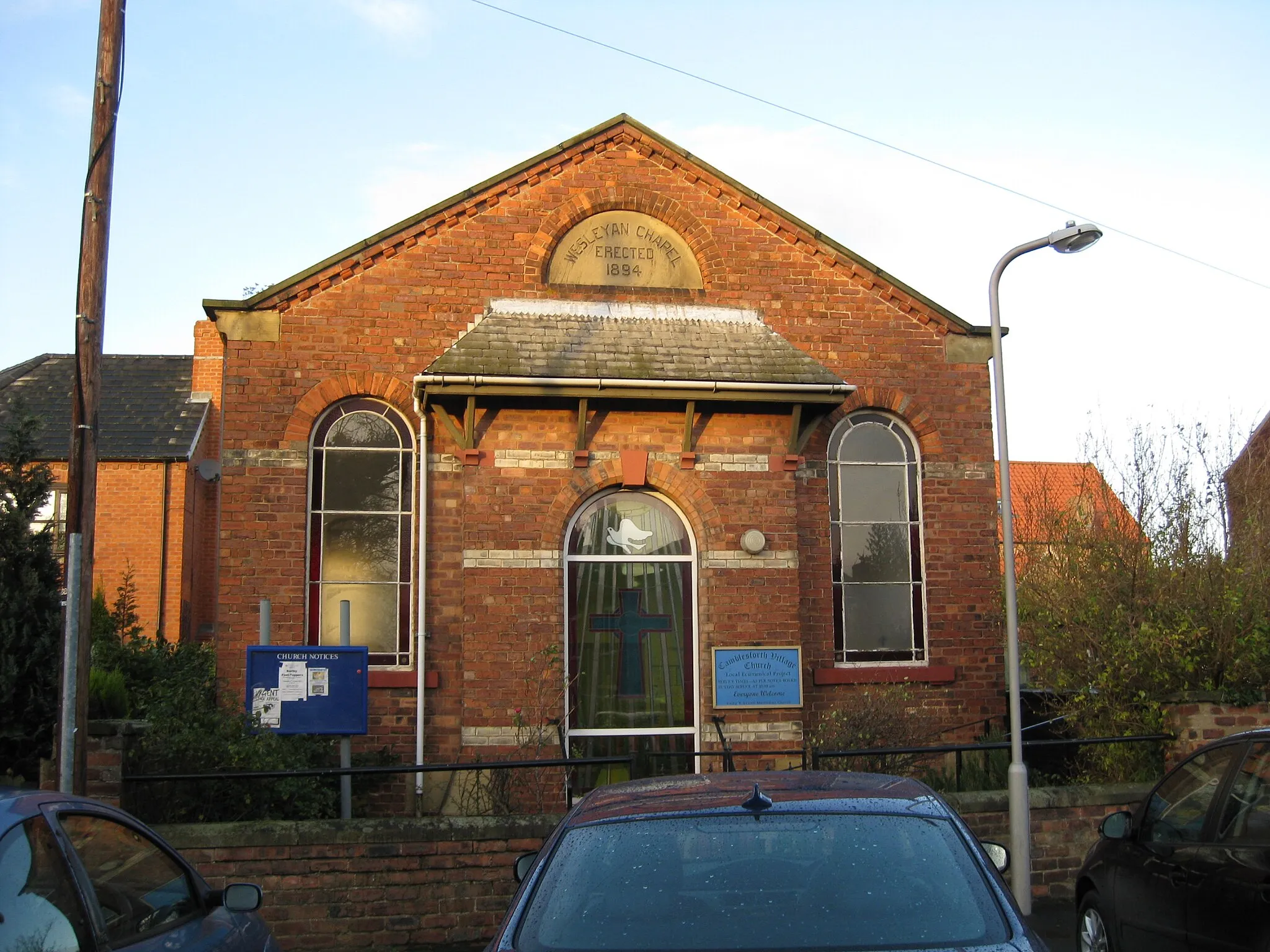
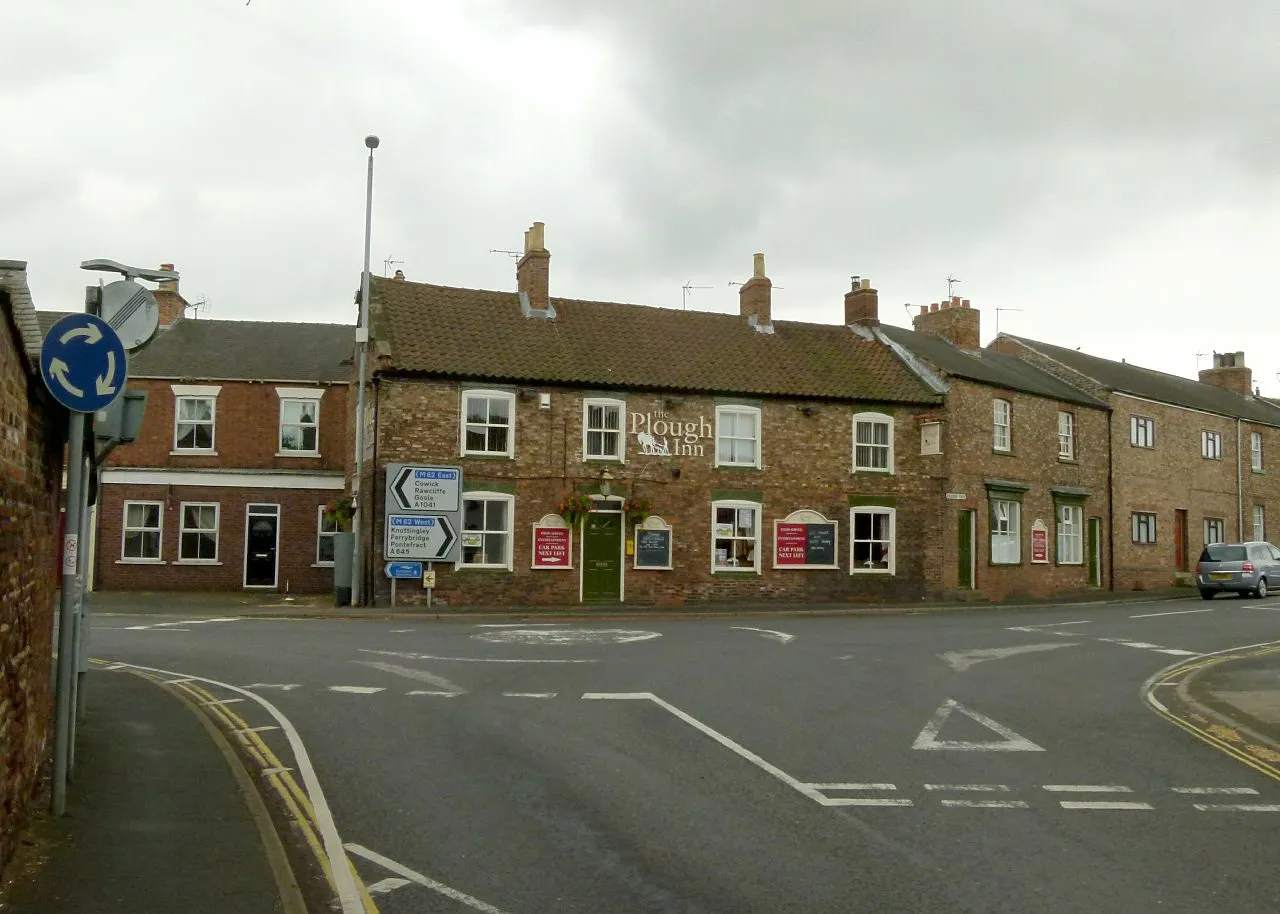
Thorpe WilloughbyVillageTake a break at Thorpe Willoughby, a charming village with scenic views and traditional English pubs.
87 km
87 km
Brayton Barff55 mPeakVisit Brayton Barff, a local nature reserve famous for its woodlands and stunning views across the Ouse Valley.
89 km
89 km
Finish: Brayton Village centerBrayton: Cycling paradise with access to famous climbs in North Yorkshire, United Kingdom.
Cycling routes nearby: