Hillside Adventure
A road cycling route starting from Coleraine
Embark on an exhilarating cycling journey through the hilly landscapes near Coleraine.
Map
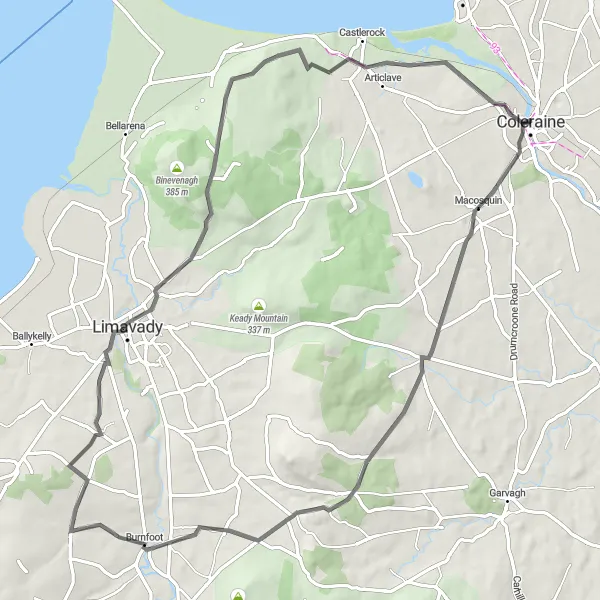
For those seeking a challenging adventure, this road cycling route starting near Coleraine is the perfect choice. With a total distance of 73 km and an ascent of 903 meters, this route offers both scenic beauty and a good physical test. The hilly landscapes will provide a sense of achievement for well-trained amateurs. Along the way, you'll pass through charming villages and enjoy stunning views of the surrounding countryside. Suitable for road bikes, this route promises an unforgettable experience.
road
73 km
903 m
Tough
Route profile
Highlights on the route
0 km
0 km
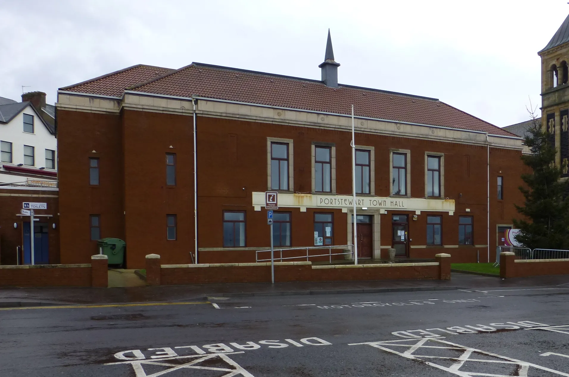
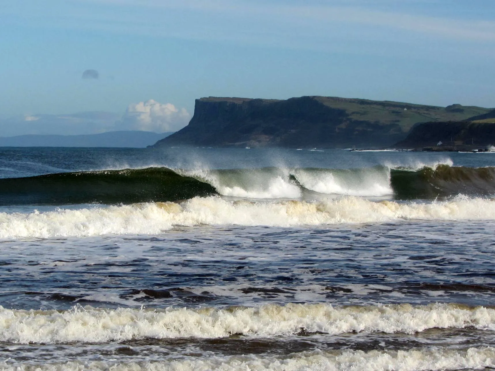
Start: Coleraine City centerColeraine: Diverse cycling routes near the famous Giant's Causeway.
Coleraine is a bustling town located in Northern Ireland. This area offers a range of cycling routes suitable for road and gravel cyclists. Located near the River Bann, cyclists can enjoy peaceful rides along the riverside trails or take on more challenging climbs in the nearby Binevenagh Area of Outstanding Natural Beauty. Coleraine is also known for its connection to the famous Giant's Causeway, a UNESCO World Heritage site located just a short cycling distance away. With its diverse terrain and proximity to iconic landmarks, Coleraine attracts cyclists and tourists from all over the world.29 km
29 km
BurnfootVillageMake a stop at Burnfoot, a lovely village known for its tranquil atmosphere and picturesque surroundings.
57 km
57 km
Gortmore View PointViewpointVisit Gortmore View Point and marvel at the breathtaking panoramic views of the mountains, coast, and Donegal in the distance.
60 km
60 km
DownhillHamletExplore Downhill, home to the iconic Mussenden Temple perched on a cliff edge overlooking the Atlantic Ocean. Enjoy the stunning views and learn about its fascinating history.
73 km
73 km
Finish: Coleraine City centerColeraine: Diverse cycling routes near the famous Giant's Causeway.
Cycling routes nearby: