The Waterside Loop
A road cycling route starting from Eglinton
Experience a scenic loop with diverse landscapes and historical landmarks
Map
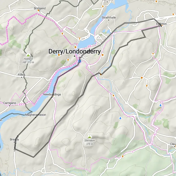
The Waterside Loop is a scenic road cycling route starting near Eglinton. It features a moderate ascent of 354m spread over a distance of 47km. The highlight of this journey is Magheramason, located approximately 28km into the ride. This historic village is known for its picturesque cottages and offers cyclists an opportunity to immerse themselves in local heritage. With a mix of countryside roads and urban stretches, this route provides a unique blend of landscapes. Overall, the Waterside Loop showcases the beauty and history of the area, making it an enjoyable and memorable ride.
road
47 km
354 m
Chill
Route profile
Highlights on the route
0 km
0 km
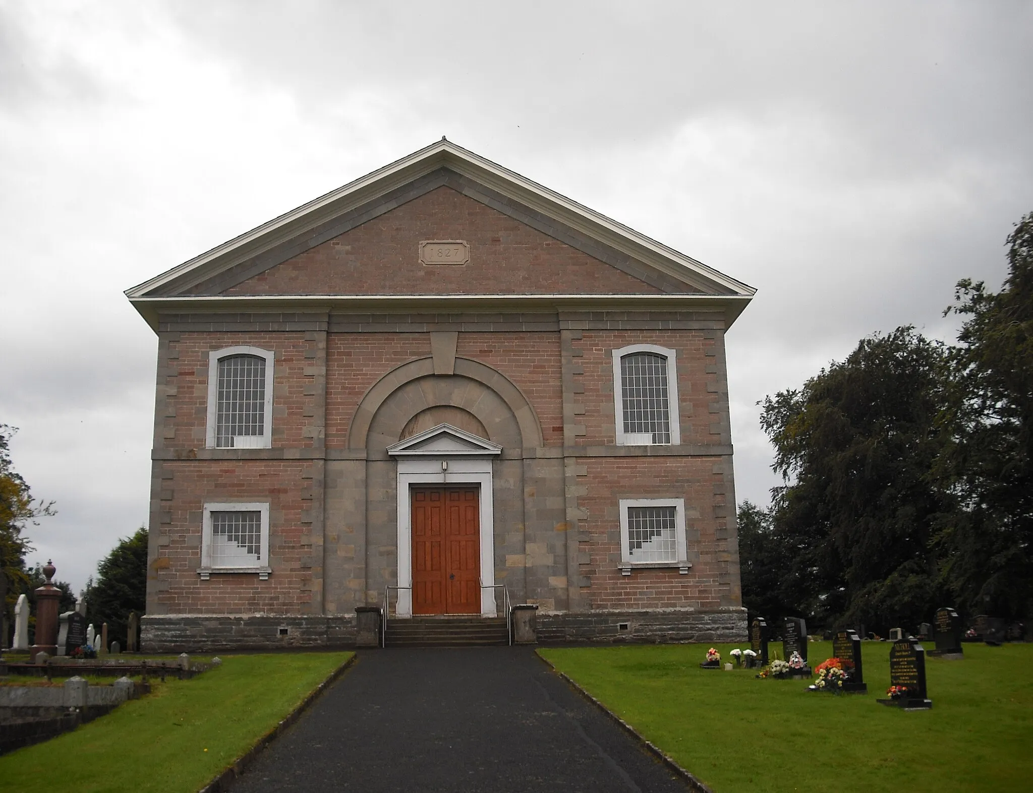
Start: Eglinton Village centerEglinton: Immerse yourself in the captivating beauty of Eglinton as you cycle through its scenic routes.
Eglinton, located in Northern Ireland, United Kingdom, offers a pleasant cycling experience for both leisurely riders and adventurous cyclists. The locality boasts scenic routes that pass through tranquil forests, picturesque coastline, and charming villages along the way. Cyclists visiting Eglinton can explore the beautiful countryside and enjoy panoramic views of the surrounding landscapes. While there may not be any legendary climbs in the immediate vicinity, the diverse terrain and cycling-friendly atmosphere make Eglinton ideal for enthusiasts seeking a mix of rural and coastal rides. The warm hospitality and local attractions further enhance the cycling experience in this unforgettable locality.13 km
13 km
Clondermot Hill273 mPeakLocated 13km into the ride, Clondermot Hill provides breathtaking views of the surrounding countryside and distant mountains.
28 km
28 km
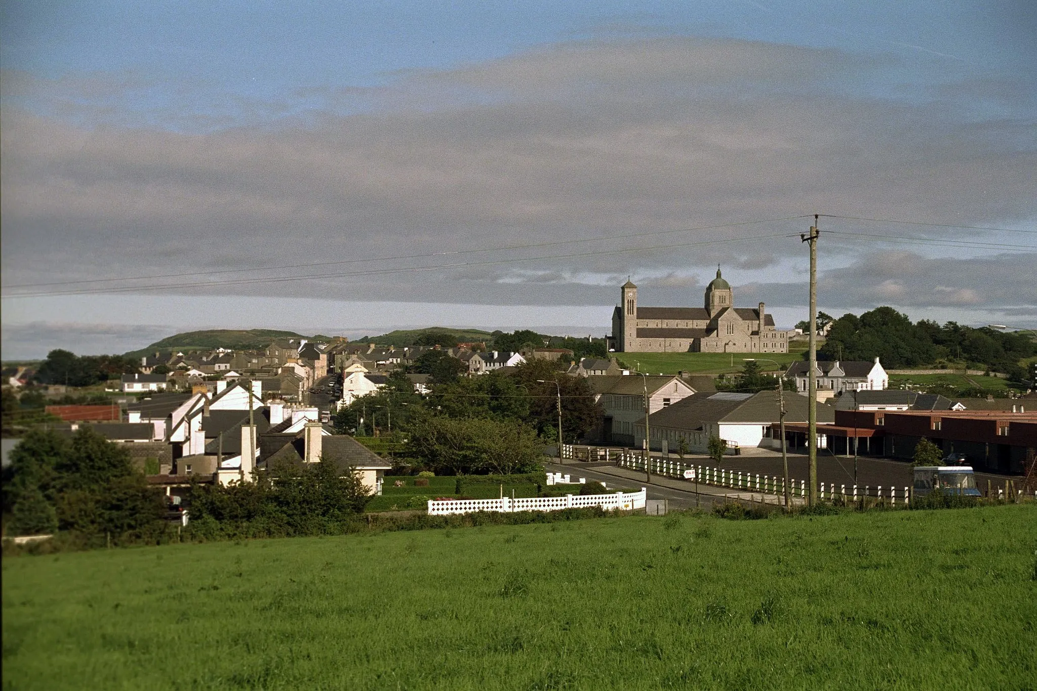
MagheramasonVillageAt the 28km mark, cyclists reach Magheramason, a village known for its picturesque cottages and rich cultural heritage.
33 km
33 km
PrehenSub-urbCyclists pass through Prehen at the 33km mark, where they can admire Prehen Woods and the tranquil setting it offers.
37 km
37 km
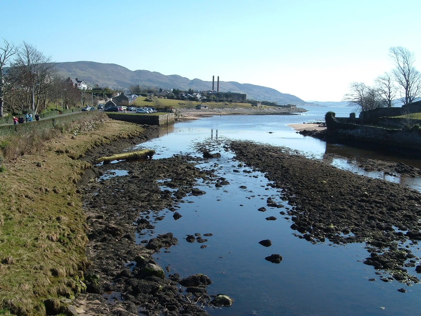
Lough FoyleLakeLough Foyle, encountered at the 37km mark, provides stunning panoramic views of the water, capturing the essence of Northern Ireland's coastline.
47 km
47 km
Finish: Eglinton Village centerEglinton: Immerse yourself in the captivating beauty of Eglinton as you cycle through its scenic routes.
Cycling routes nearby: