Pigeon Rock Mountain Loop
A road cycling route starting from Kilkeel
Challenge yourself with the ascent to Pigeon Rock Mountain South Top
Map
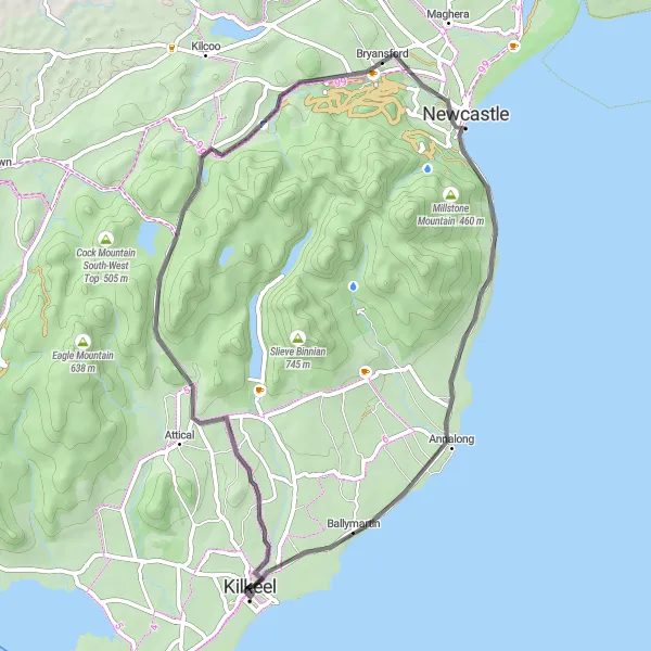
The Pigeon Rock Mountain Loop is a 51-km road route with a challenging ascent of 531 meters. Starting near Kilkeel, this route takes you through scenic countryside and offers impressive views. With a difficulty rating of 4, it's suitable for experienced cyclists who enjoy a challenge. The epicness score for this route is 3, making it a worthwhile adventure.
road
51 km
531 m
Tough
Route profile
Highlights on the route
0 km
0 km
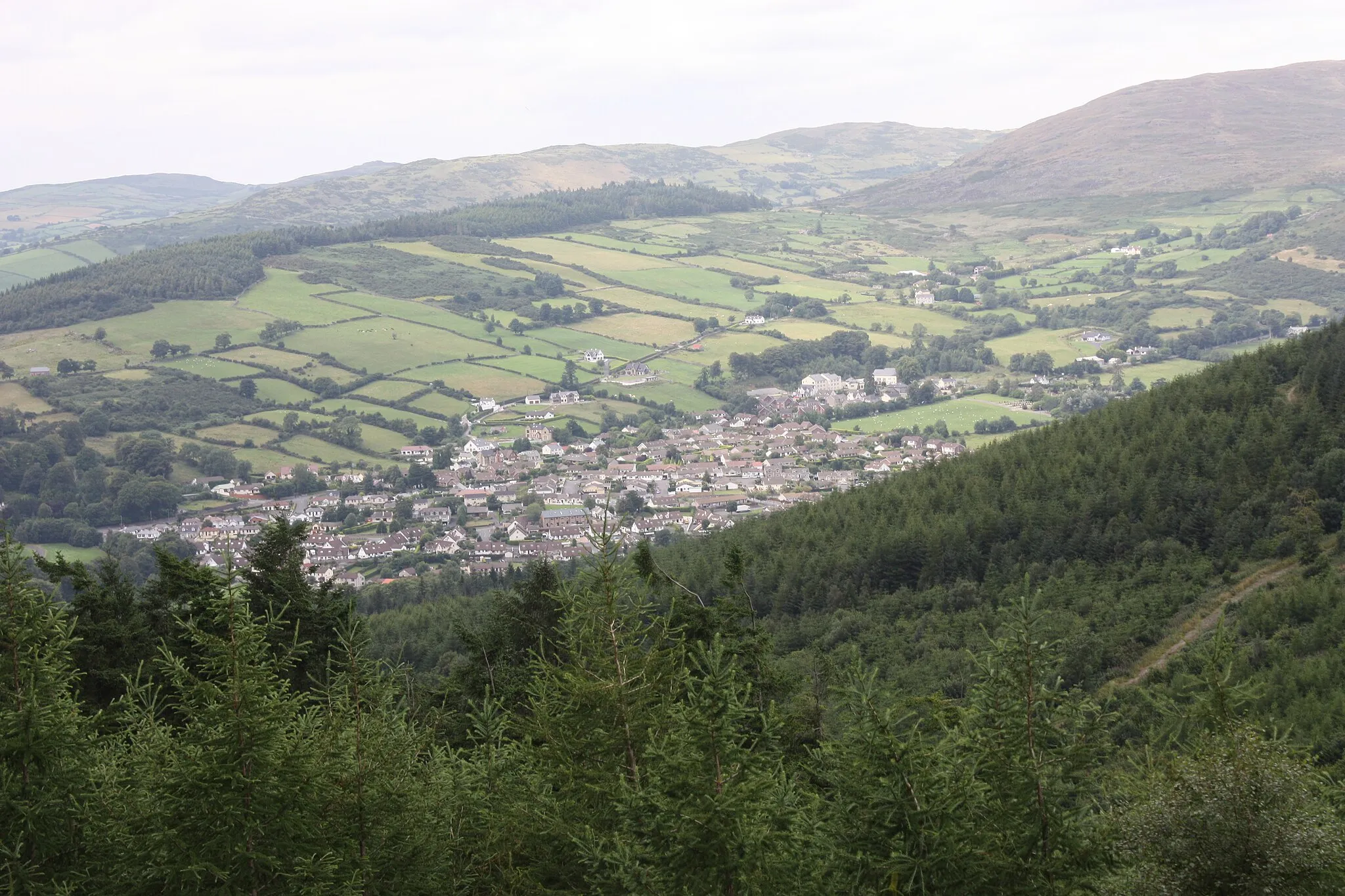
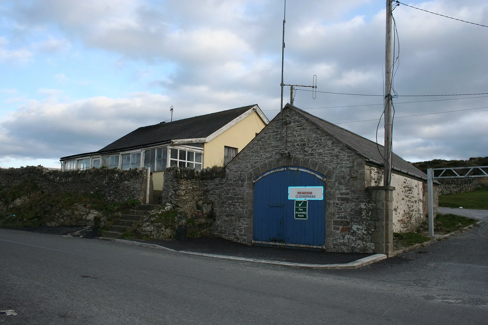
Start: Kilkeel City centerKilkeel: Coastal charm and mountainous challenges in Kilkeel.
Kilkeel is a small town situated in Northern Ireland. From a cyclist's point of view, it offers a combination of coastal roads with stunning ocean views and challenging hilly terrains. The town is near the Mourne Mountains, famous for cycling and hiking, providing ample opportunities for cyclists looking for demanding climbs. Kilkeel is a good base for exploring the scenic routes and experiencing thrilling cycling adventures.13 km
13 km
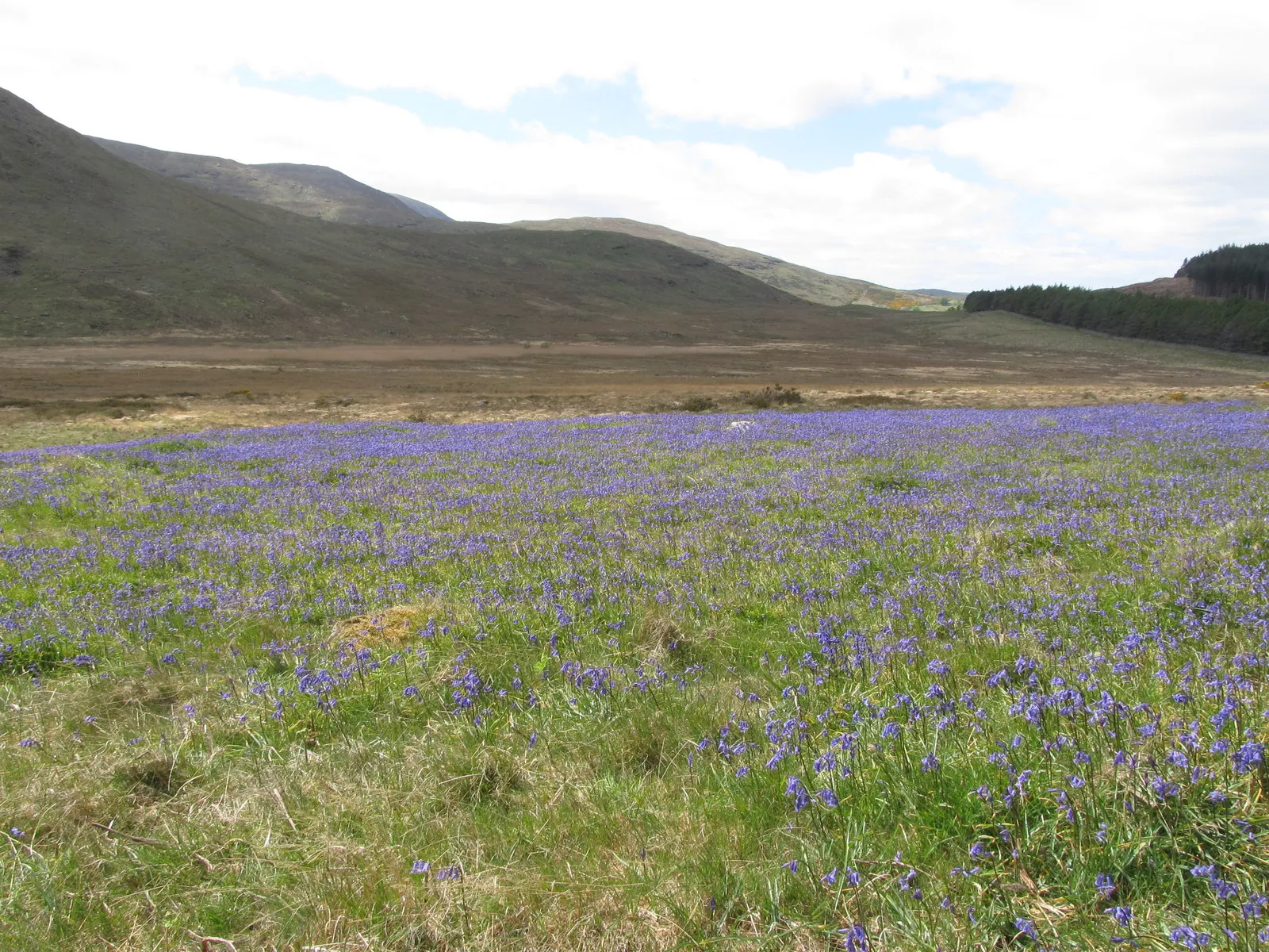
Pigeon Rock Mountain South Top530 mPeakPigeon Rock Mountain South Top, a rugged mountain peak with panoramic views
23 km
23 km
Salmon LeapViewpointSalmon Leap, a picturesque spot where salmon jump upriver
26 km
26 km
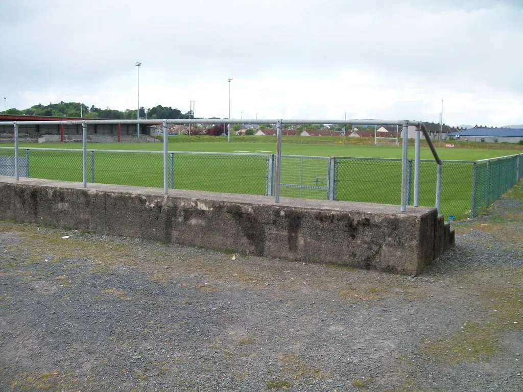
BryansfordVillageBryansford, a charming village with historic buildings
43 km
43 km
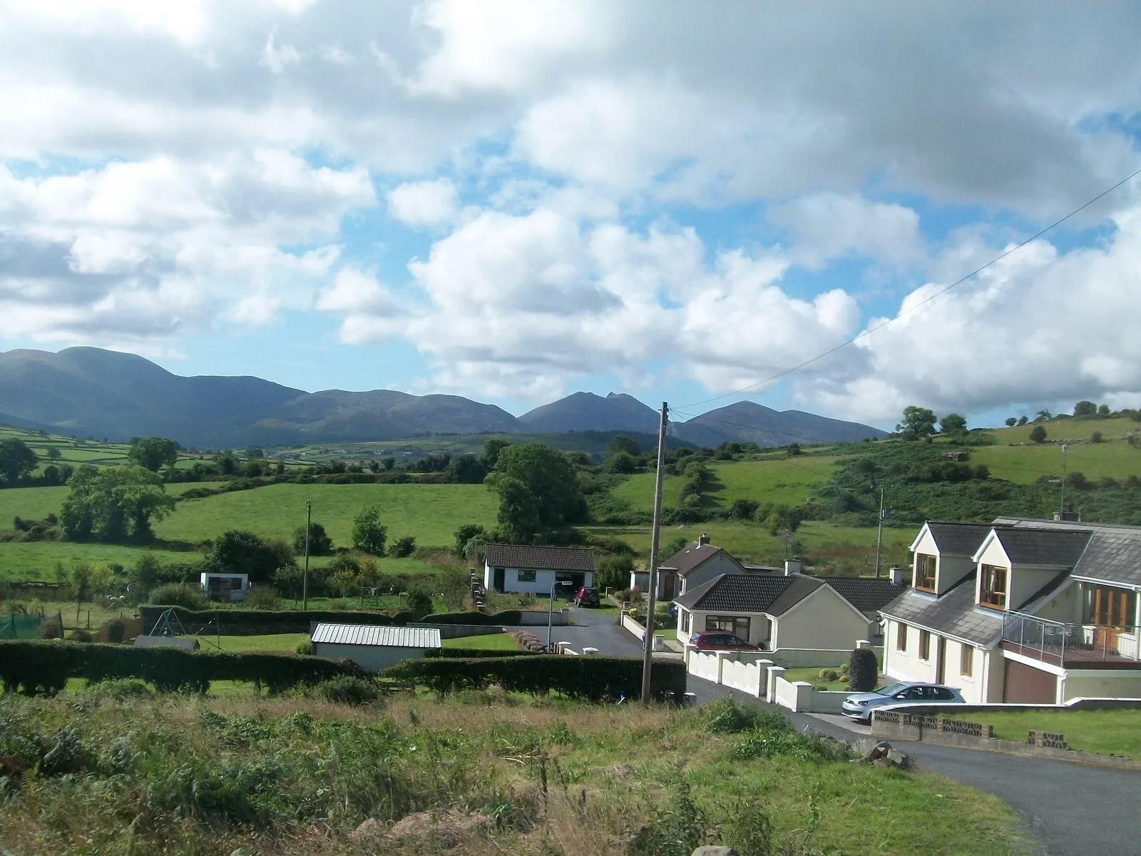
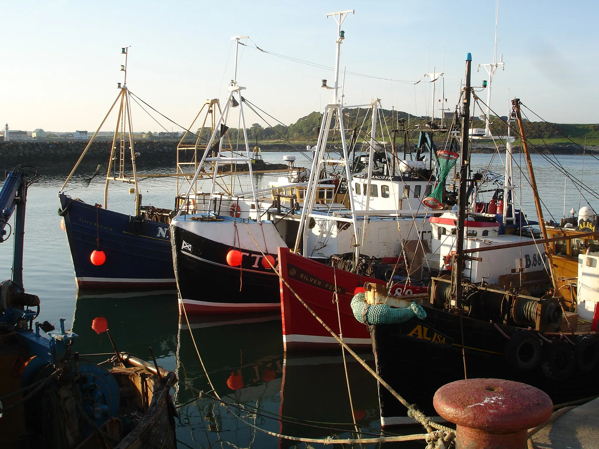
AnnalongVillageAnnalong, a scenic village with a rich fishing heritage
51 km
51 km
KilkeelTownKilkeel, the starting and finishing point of the route
51 km
51 km
Finish: Kilkeel City centerKilkeel: Coastal charm and mountainous challenges in Kilkeel.
Cycling routes nearby: