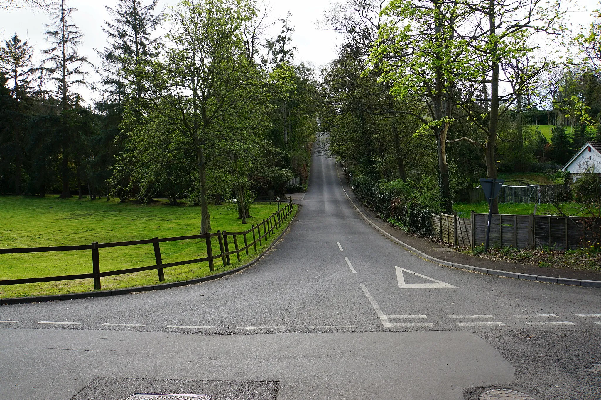
Experience the beauty of the Tyne Valley and ride alongside Hadrian's Wall in Chopwell.
Cycling routes from Chopwell
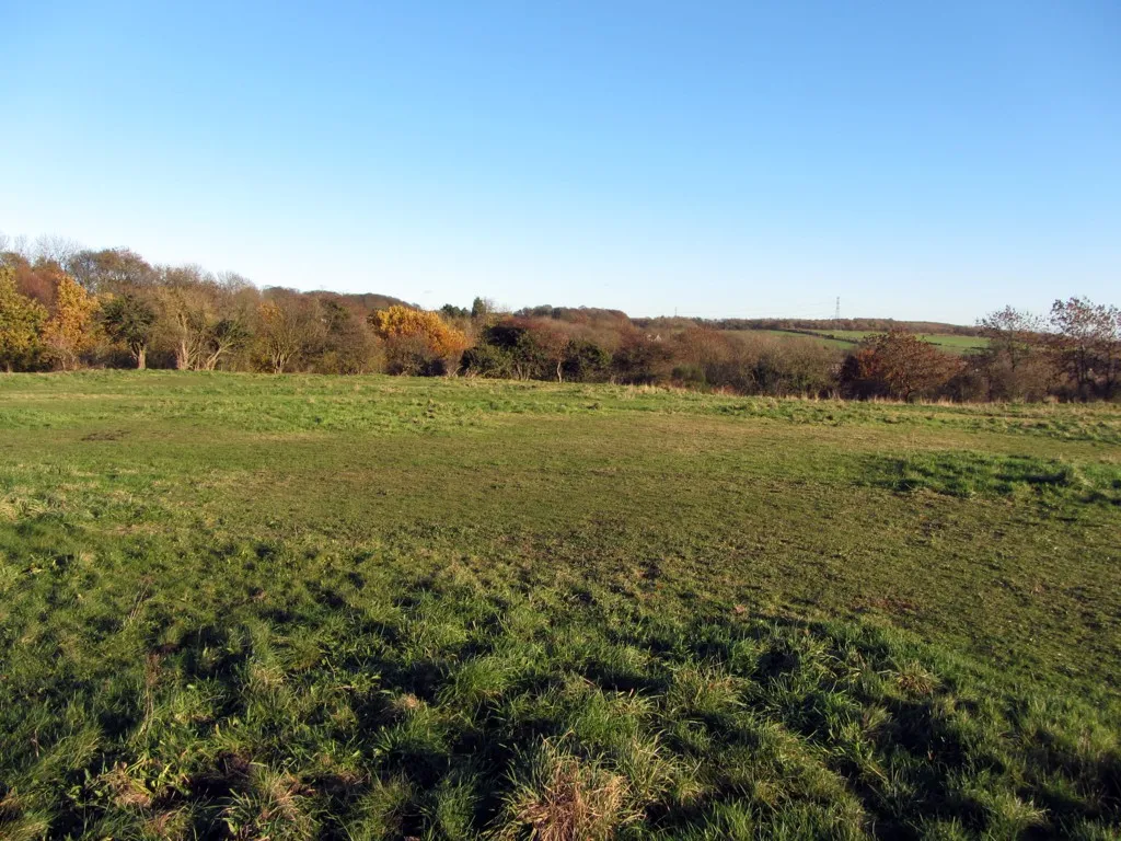
Chopwell, located in the Northumberland and Tyne and Wear region of the United Kingdom, is a cyclist-friendly locality with a range of cycling options for riders of all levels. The area offers a mix of road routes and off-road trails, allowing cyclists to explore beautiful landscapes and historical sites. Cyclists can enjoy rides along the Tyne Valley, taking in scenic countryside views along the way. One well-known cycling spot near Chopwell is Hadrian's Wall, where cyclists can pedal alongside the ancient Roman fortification. With its diverse cycling opportunities and historical attractions, Chopwell is a great destination for cyclists.
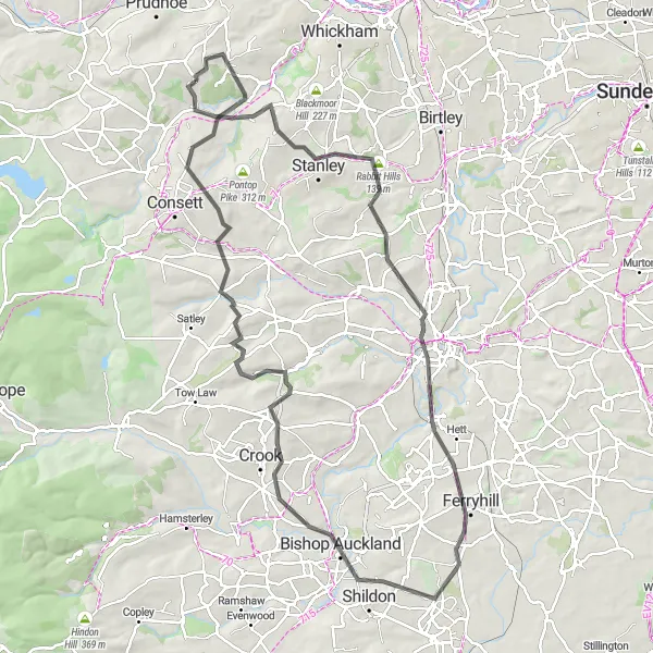
An epic ride featuring challenging climbs and beautiful vantages
Embark on an epic road cycling adventure from Stanley to Bishop Auckland, featuring challenging climbs and rewarding descents. Enjoy stunning views from Observatory Hill and cycle through scenic locations like Ferryhill and Corsnay. The route also offers a stop at the famous Leadgate Maze viewing platform for spectacular panoramic landscapes. It covers a total distance of 99 kilometers with an ascent of 1573 meters.
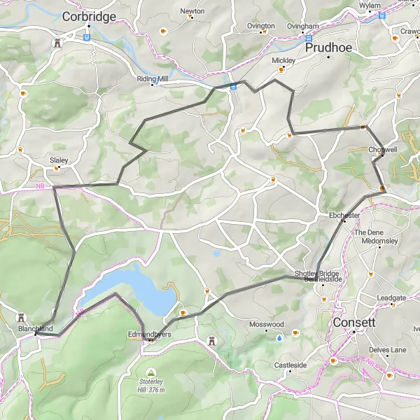
A road cycling route through beautiful countryside
This route takes you through the scenic countryside around Chopwell and includes highlights such as the village of Ebchester and the historic town of Blanchland. It offers a manageable level of difficulty and provides a great cycling experience for well-trained amateurs. The route covers a distance of 53 kilometers with an ascent of 846 meters.
A road cycling tour through historic landmarks and picturesque scenery
This road cycling route takes you through captivating landscapes from Blaydon on Tyne to Medomsley. Enjoy stunning views of Whinnel Hill and Brancepeth Castle as you cycle. The route also takes you to the unique Leadgate Maze viewing platform, offering panoramic views of the surrounding countryside. It covers a total distance of 73 kilometers with an ascent of 1286 meters.
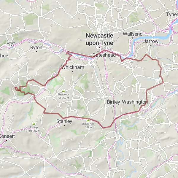
Discover the stunning valleys and rolling hills on this thrilling gravel adventure.
This picturesque route takes cyclists through the beautiful countryside of Northumberland and Tyne and Wear. With a mix of gravel roads, riders can fully immerse themselves in the natural surroundings while experiencing challenging climbs and descents. The route offers a variety of landscapes, from woodlands to open fields, ensuring an unforgettable cycling experience. Cyclists will be rewarded with breathtaking views and the chance to explore charming villages along the way.
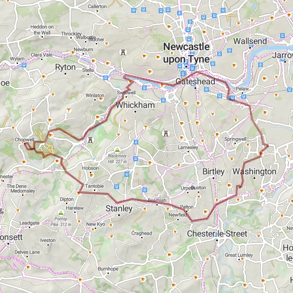
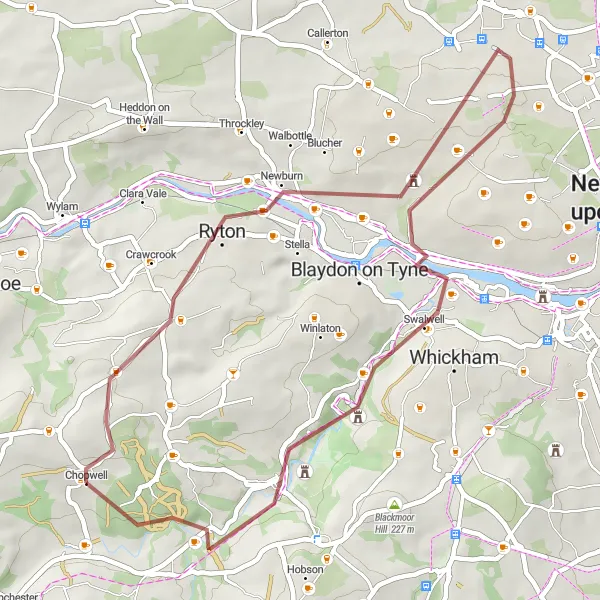
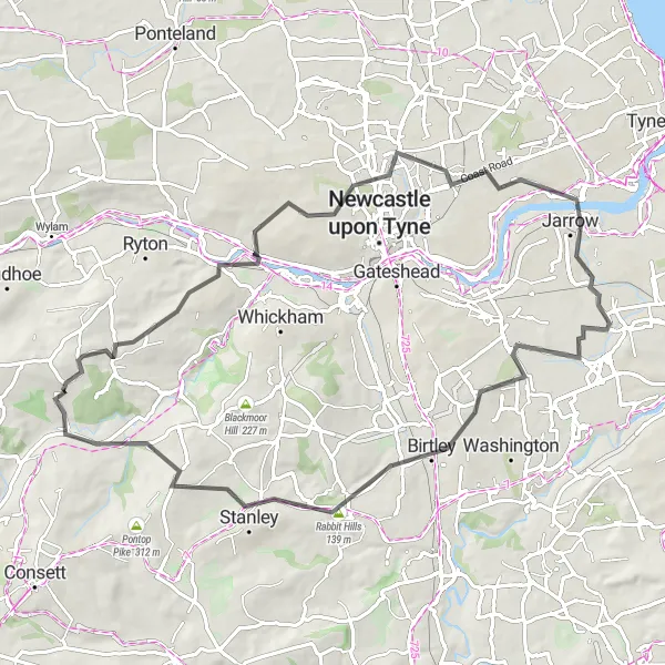
Explore off-road trails and gravel paths near Chopwell
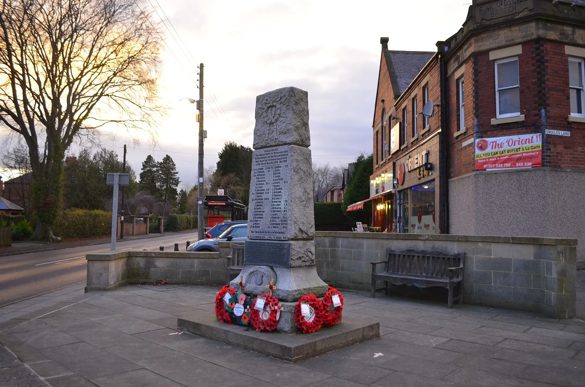
Escape the pavement and venture into the gravel trails and paths near Chopwell on this 60-kilometer route. With a total ascent of 627 meters, this off-road adventure is perfect for gravel enthusiasts. Take in the beauty of Rowlands Gill, a village known for its dazzling scenery and tranquil ambience. Admire the views from the Tyne Bridge towards Side and Dean streets, offering an urban twist to your ride. Cycle through Gateshead, where urban landscapes blend with natural beauty. Washington provides a serene atmosphere, and the Rabbit Hills offer an exciting gravel challenge. Discover the charm of Stanley before concluding your journey at Hamsterley Mill, where the surrounding woodlands will captivate you.
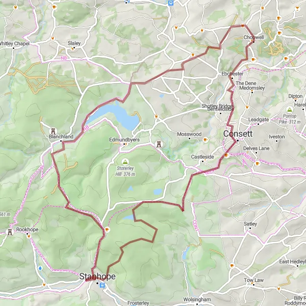
An adventurous gravel ride with scenic reservoir views
This gravel route takes you on an exciting adventure from Chopwell to the picturesque Derwent Reservoir. Along the way, you'll pass through Consett and Stanhope and experience breathtaking views of Blanchland and Whittonstall. The route covers a distance of 74 kilometers with an ascent of 1089 meters.
Discover hidden gems and off-road trails in Tyne and Wear
Embark on an off-road adventure through Tyne and Wear on this 68-kilometer gravel route. With a total ascent of 649 meters, you'll navigate through lesser-known trails and discover hidden gems along the way. Begin your journey in Rowlands Gill, a charming village surrounded by stunning natural beauty. Admire the view of Side and Dean streets from the Tyne Bridge, showcasing the vibrant urban atmosphere of Newcastle upon Tyne. Explore the scenic Hylton Castle Estate before conquering the challenges of the Rabbit Hills. Delve into history at Beamish, a living history museum that takes you back in time, and unwind amidst the beautiful Clough Dene woodland.
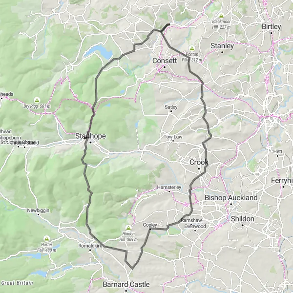
Cycle through history on this challenging route
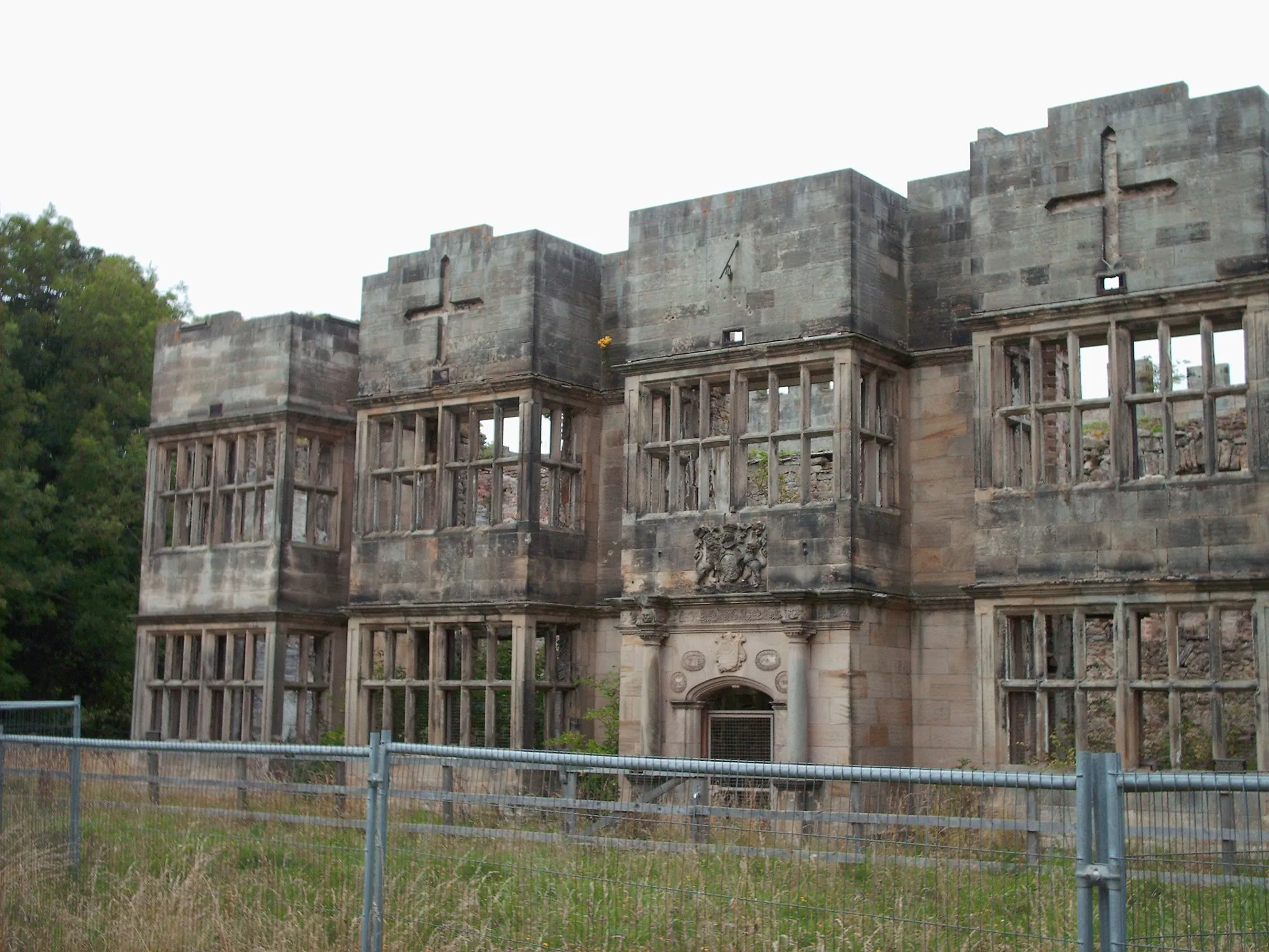
Get ready for a historical adventure on this 105-kilometer road cycling route. With a total ascent of 1940 meters, this challenging ride takes you through the heart of County Durham, showcasing its rich heritage. Highlights include the Leadgate Maze viewing platform, offering panoramic views of the countryside, and Witton Castle, a stunning medieval castle. Pedal through charming villages like Copley and Eggleston before reaching the historic market town of Stanhope. Conclude your journey in Ebchester, where you can explore the ruins of a Roman Fort.
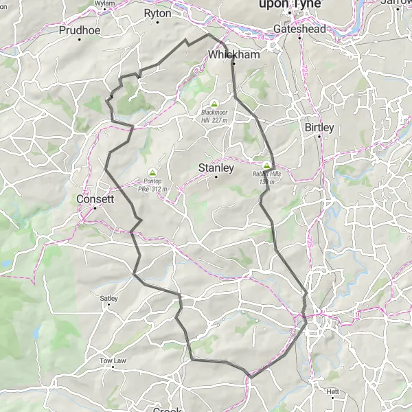
Tyne and Wear Adventure
Cycle through urban and rural landscapes in Tyne and Wear
Embark on a 70-kilometer road cycling adventure through the diverse landscapes of Tyne and Wear. With a total ascent of 803 meters, this route offers a mix of urban areas and countryside charm. Explore the vibrant town of Blaydon on Tyne, home to a thriving arts scene and beautiful river views. Condercum Hill provides an exhilarating climb with rewarding panoramic vistas. Cycle past Segedunum Fort Viewing Tower, offering a glimpse into the historical significance of the region's Roman past. Enjoy the sights and sounds of Jarrow before reaching Birtley, known for its friendly community and picturesque surroundings. Conclude your journey in Chopwell, surrounded by beautiful woodlands that offer fantastic cycling opportunities.
Chopwell and Beyond
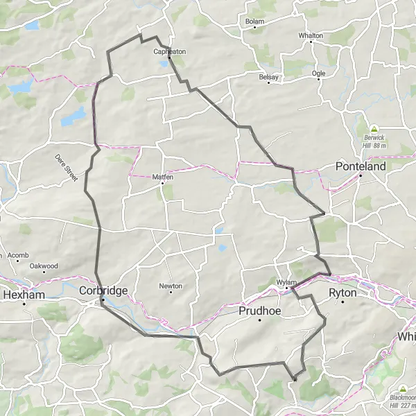
Cycle through picturesque Northumberland and Tyne and Wear
Experience the stunning countryside of Northumberland and Tyne and Wear on this fantastic cycling route. With a total ascent of 958 meters, you'll conquer a few challenging climbs along the way. Starting near Chopwell, this 77-kilometer road route takes you through beautiful villages and towns such as Stocksfield, Corbridge, and Heddon on the Wall. Enjoy the scenic views of the countryside and historical landmarks as you peddle through the region. This route offers a great mix of natural and cultural highlights.
Cycling routes nearby:
Nearby regions: