Immersing in the tranquility of North East countryside and experiencing the challenging Northumberland cycling routes from Rowlands Gill.
Cycling routes from Rowlands Gill
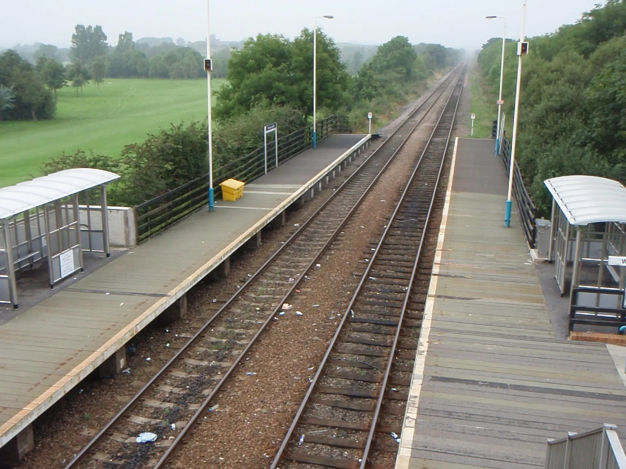
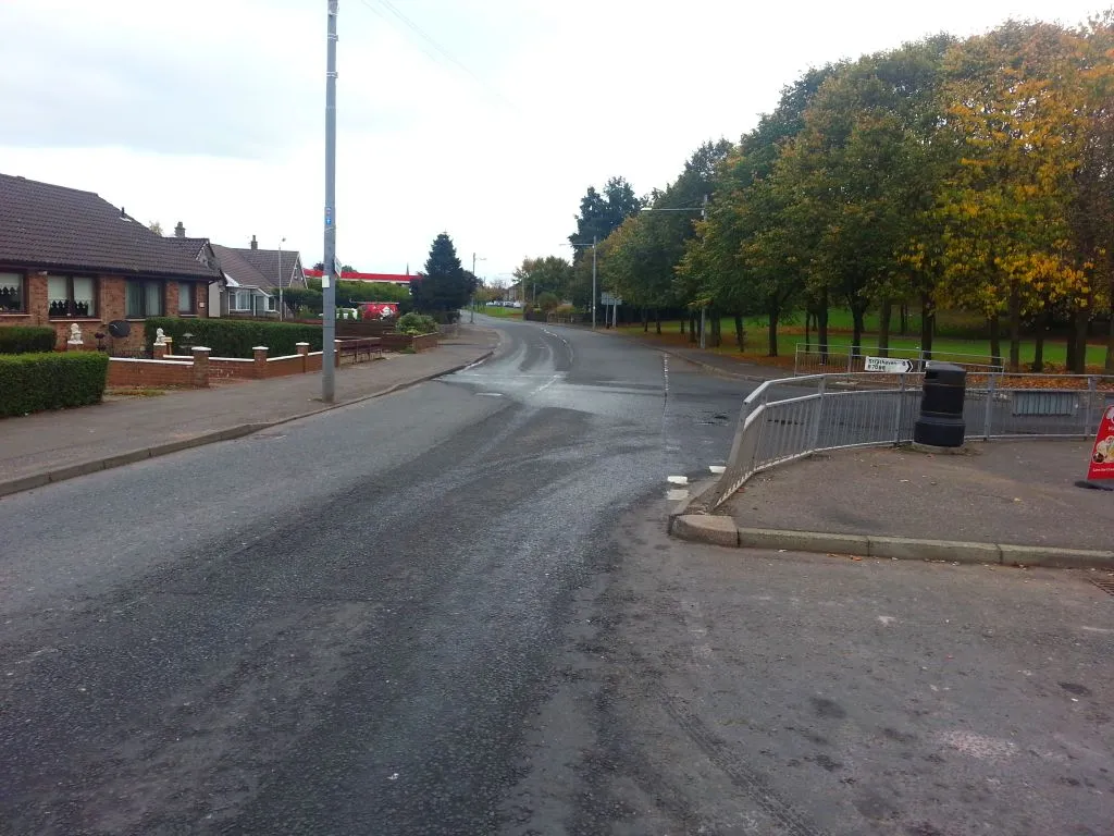
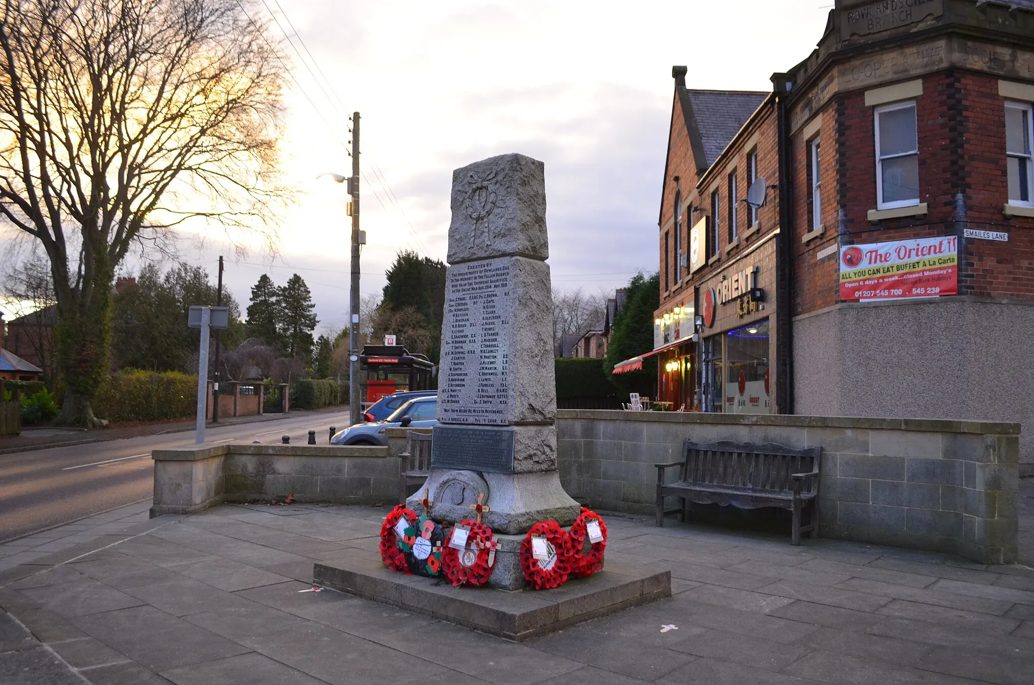
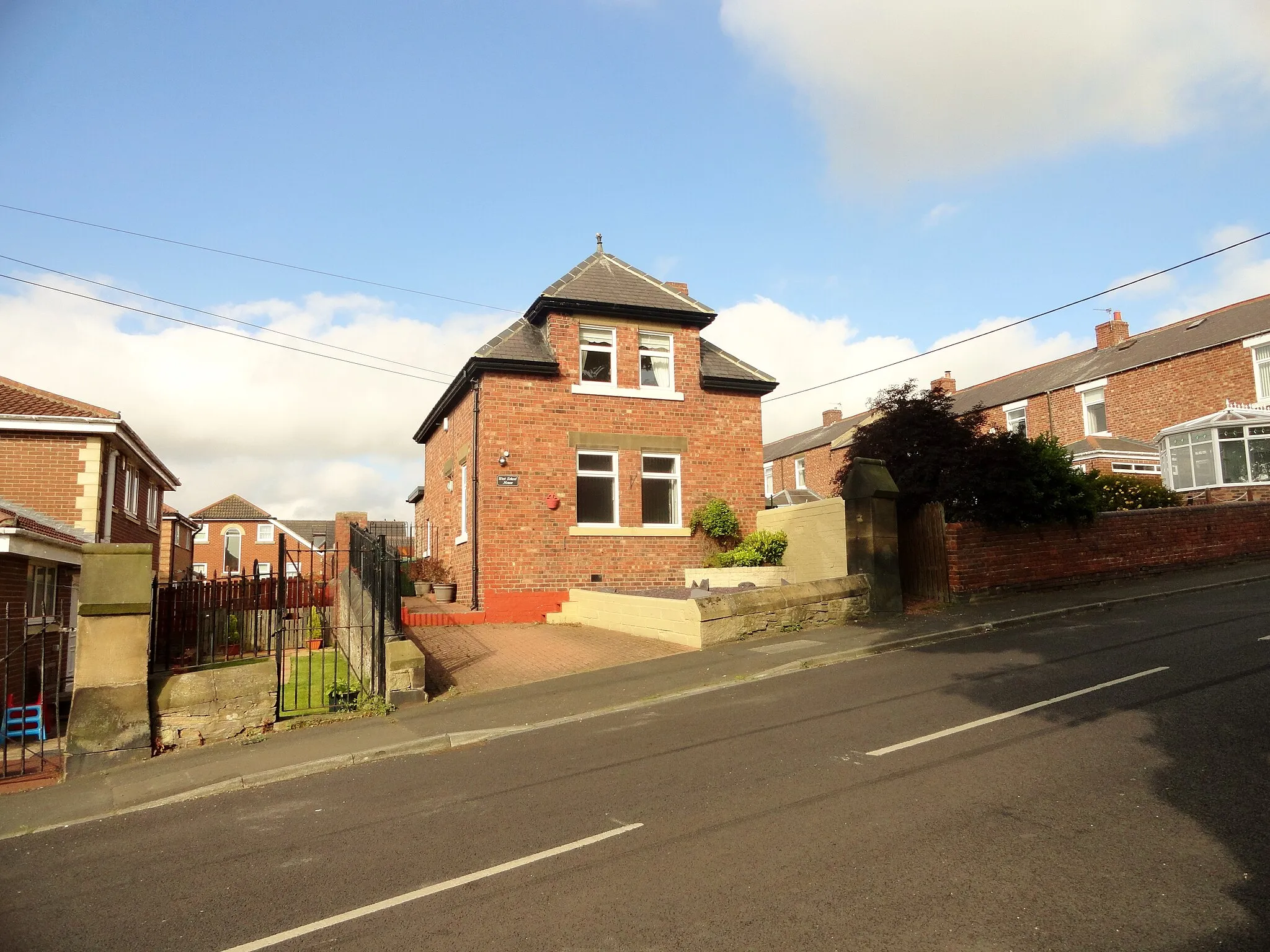
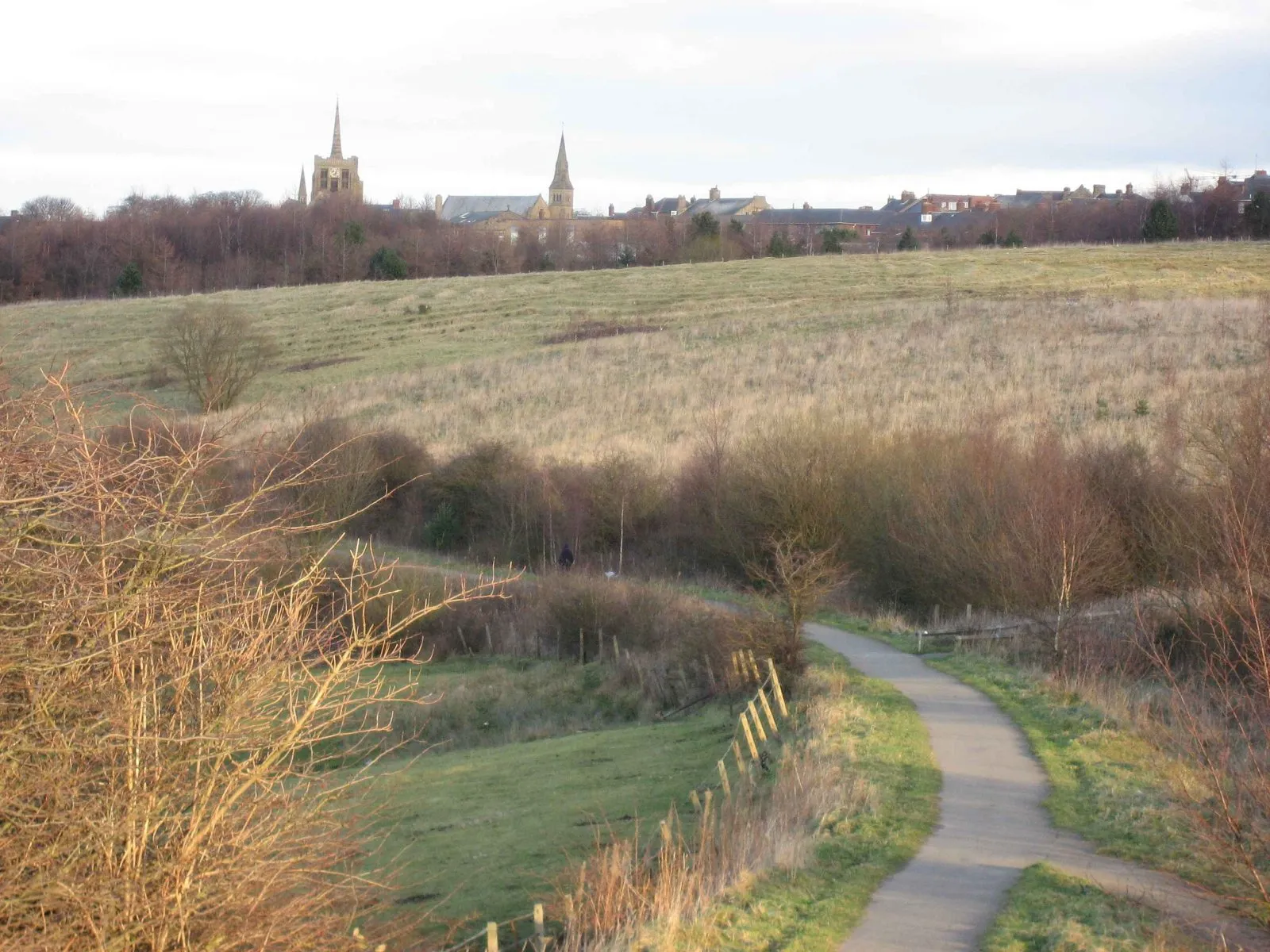
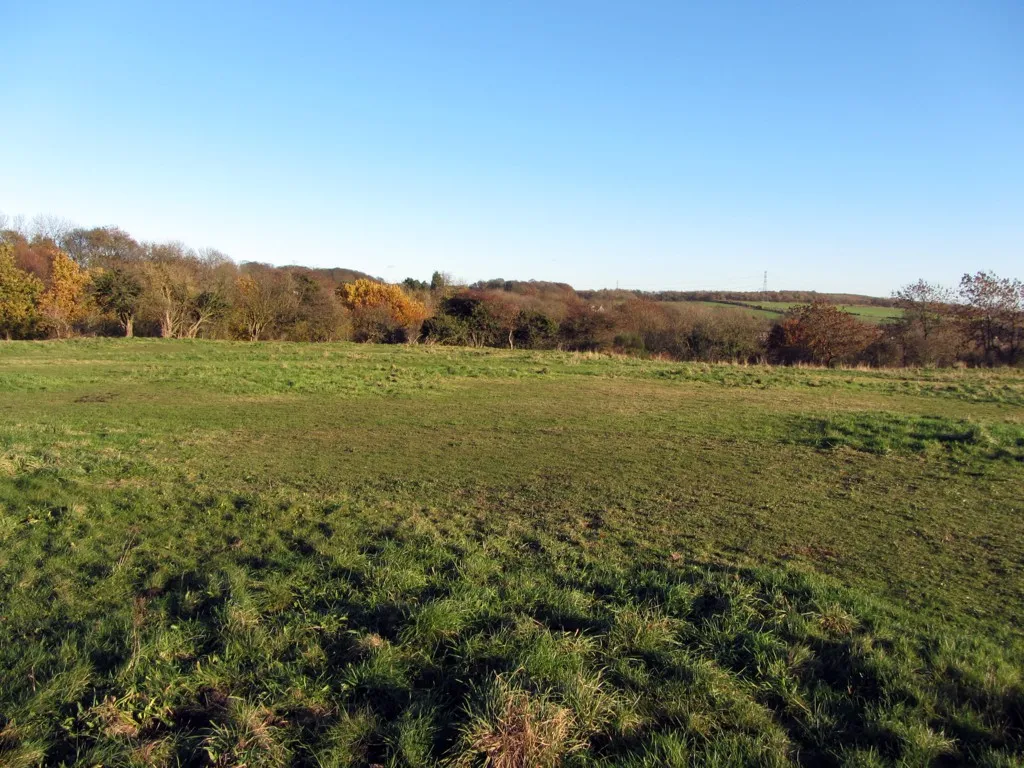
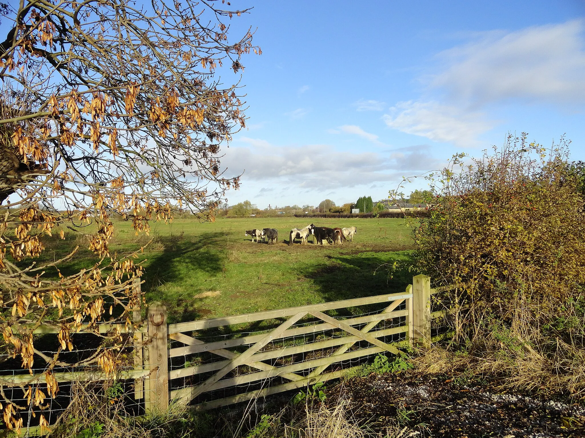
Rowlands Gill is a locality located in the Northumberland and Tyne and Wear region of the United Kingdom. From a cyclist's perspective, Rowlands Gill offers picturesque cycling routes through the North East countryside. The area features rolling hills and quiet roads, providing serene cycling experiences. Cyclists can explore the scenic Derwent Walk Country Park with its cycling paths and admire the beautiful landscapes. Nearby, the popular Northumberland cycling routes offer challenging climbs and diverse terrain.
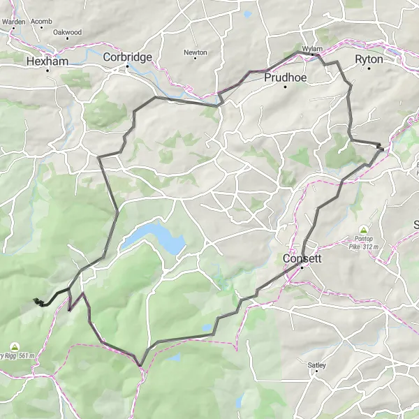
Slaley Adventure
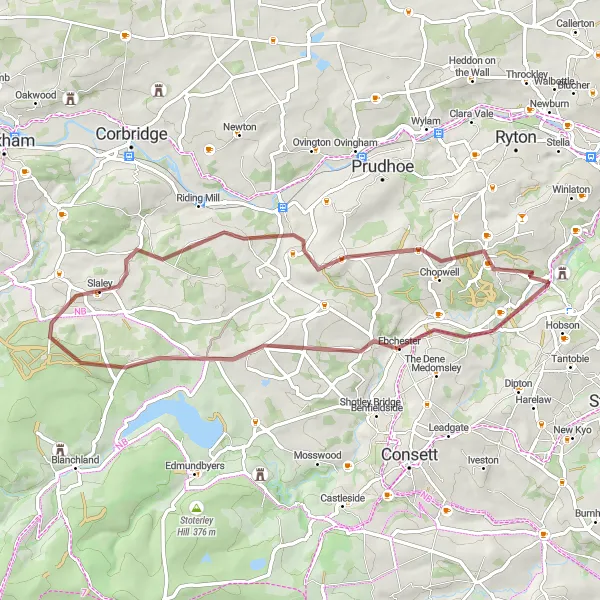
An off-road adventure through scenic landscapes
Slaley Adventure is a 51-kilometer gravel route that takes you through the picturesque countryside near Rowlands Gill. With 735 meters of ascent, this challenging route offers breathtaking views and diverse terrain. Suitable for gravel bikes, it is recommended for experienced cyclists looking for a thrilling off-road experience. Traverse through charming villages, including Ebchester, Ladycross Quarry Nature Reserve, Slaley, Hedley on the Hill, and High Spen, each offering its own unique charm. Prepare yourself for an exciting ride full of scenic highlights and a lifetime of memories.
The Gravel Adventure
Experience the thrilling gravel adventure starting from Rowlands Gill
Embark on this gravel adventure starting from Rowlands Gill and explore the stunning landscapes of Northumberland and Tyne and Wear. This route offers a challenging ascent, diverse terrains, and breathtaking views along the way. Get ready for an exhilarating cycling experience that will leave you wanting more.
Healeyfield and Slaley Ride
An exciting route through rolling hills and picturesque villages
Get ready to explore the scenic countryside near Rowlands Gill on this road cycling route. The ride offers a diverse mix of terrain, including rolling hills and charming villages. With a total ascent of 1258 meters over 84 kilometers, it is a challenging but rewarding journey for well-trained amateurs. The highlight of this route is Healeyfield, a small village known for its stunning landscapes. As you continue, you'll also pass through Townfield, Slaley, Ovingham, and Greenside, each offering their own unique charm. This route promises a memorable and immersive cycling experience.
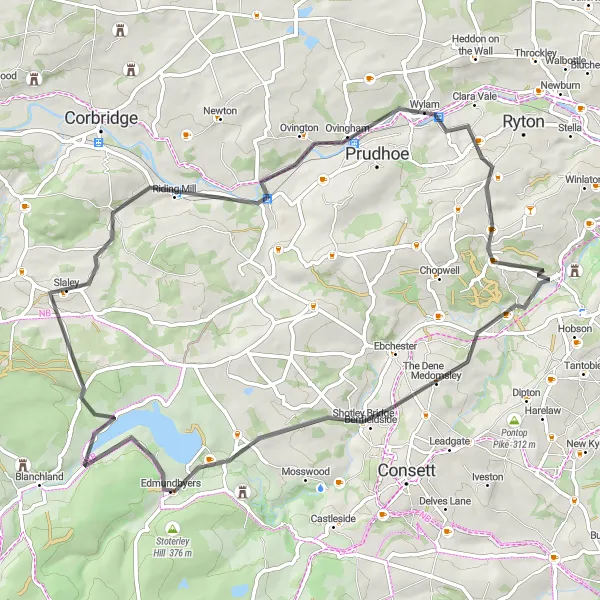
A scenic road route with highlights in Slaley and Wylam
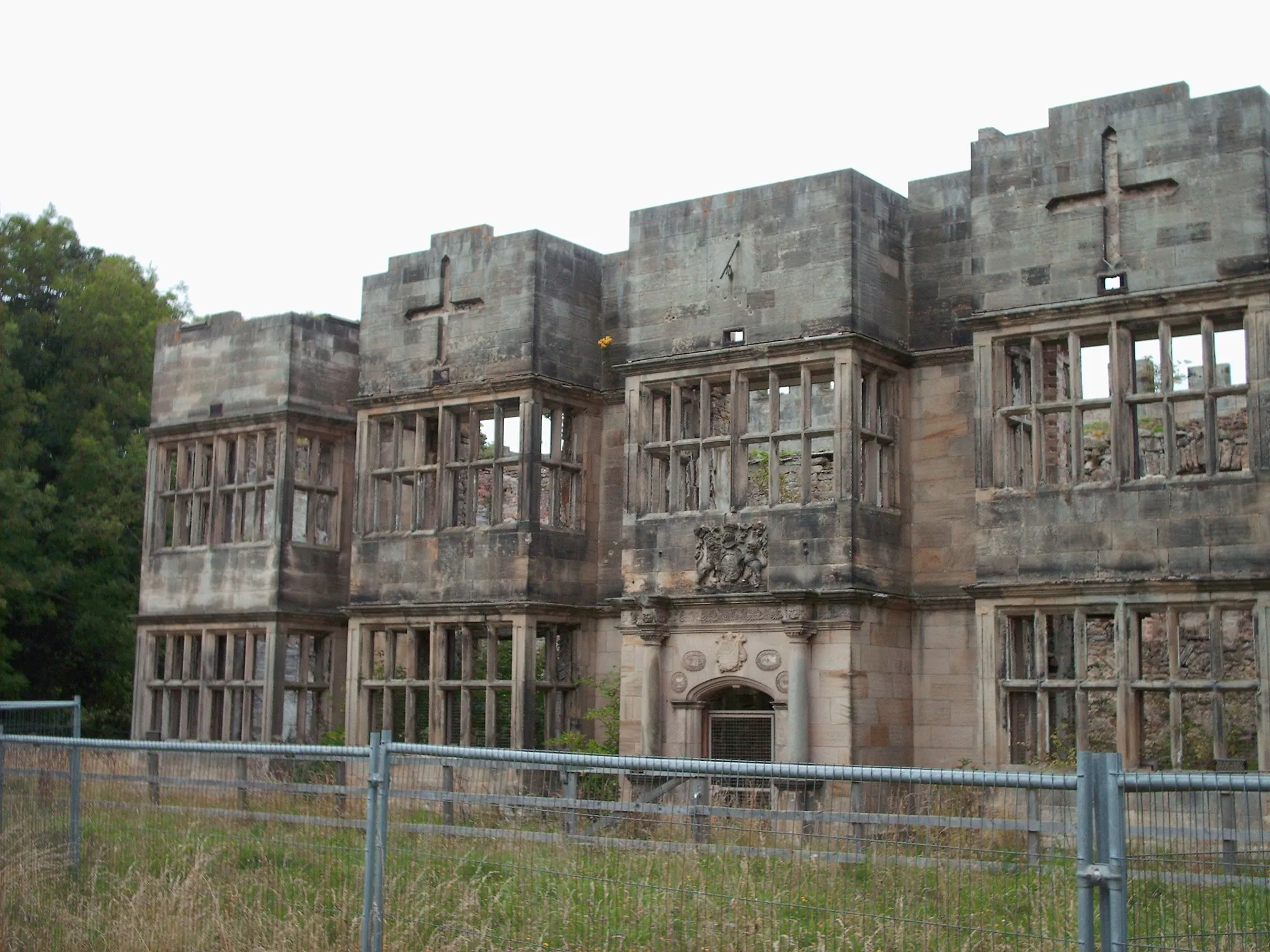
This scenic road cycling route takes you through the picturesque countryside near Rowlands Gill. After starting off, you'll pass through Medomsley, where you can appreciate the tranquil surroundings and enjoy the peaceful atmosphere. Continuing on, you'll reach Carterway Heads, a charming village with historic sites to explore. The route then leads to Slaley, where you can discover ancient ruins and stunning landscapes. Finally, you'll cycle through Wylam, a village known for its connection to railway history. With a distance of 62 kilometers and an ascent of 872 meters, this route offers both beauty and challenging sections.
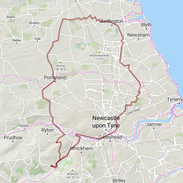
Tyne Valley Loop
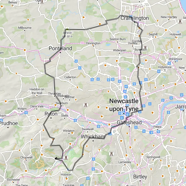
A road cycling adventure through the Tyne Valley
Tyne Valley Loop is a 67-kilometer road cycling route that takes you on a scenic journey through the beautiful Tyne Valley. With 736 meters of ascent, this route is suitable for intermediate-level road cyclists looking to explore the countryside near Rowlands Gill. Highlights include Ryton, Ponteland, Northumberlandia, Cramlington, Side and Dean street view from Tyne Bridge, Newcastle upon Tyne, Blackmoor Hill, and Rowlands Gill. Enjoy the picturesque landscapes and charming villages as you pedal through this road cycling adventure.
Valley Discovery

A gravel journey through picturesque valleys
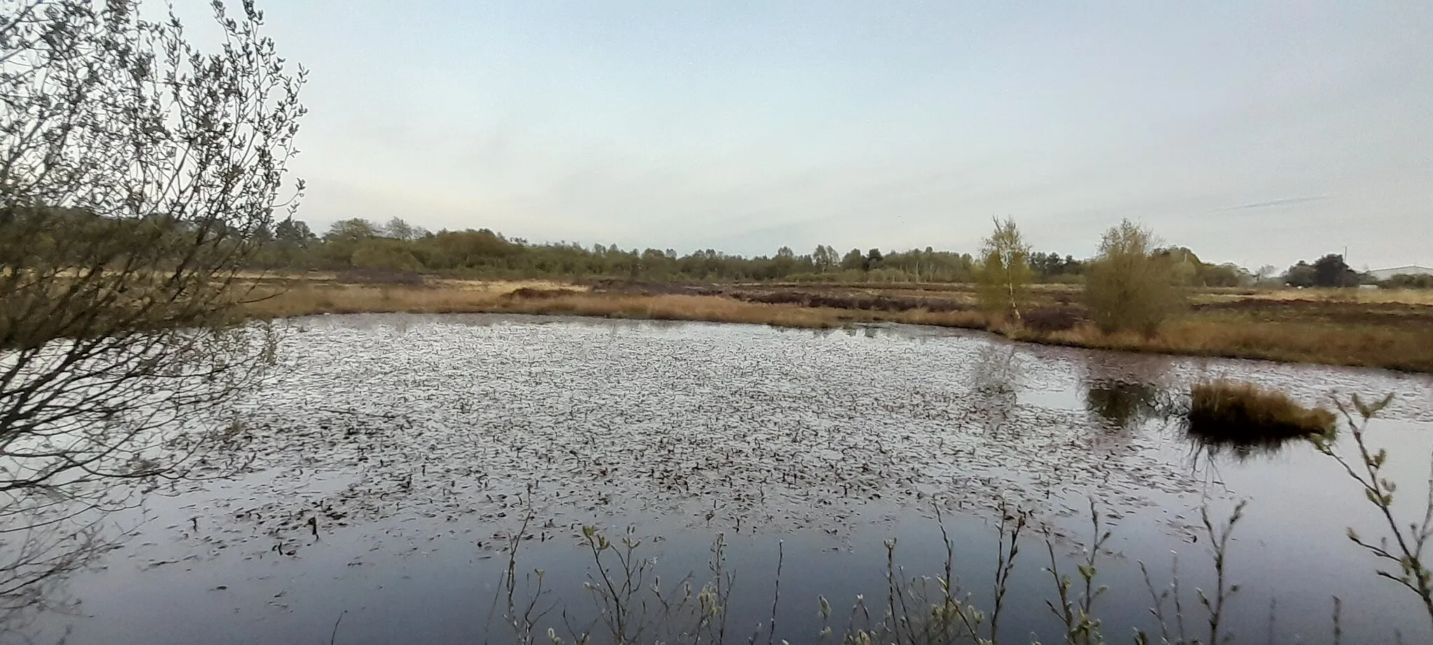
Valley Discovery is a 77-kilometer gravel route that takes you on a scenic adventure through picturesque valleys near Rowlands Gill. With 1013 meters of ascent, this route is suitable for experienced gravel riders looking for a challenging and rewarding experience. Explore attractions including Burnopfield, Pontop Pike, Healeyfield, Stanhope, Rookhope, Blanchland, Derwent Reservoir, and Ebchester. Immerse yourself in the breathtaking landscapes and deep valleys as you conquer the demanding terrain. Valley Discovery promises a memorable journey filled with natural wonders and hidden gems.
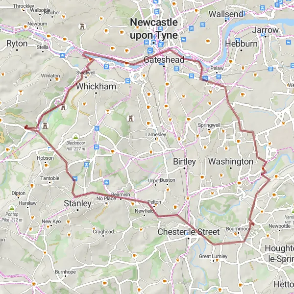
A thrilling gravel route featuring highlights in Penshaw Hill and Rabbit Hills
For those seeking a gravel adventure, this route is perfect. Starting near Rowlands Gill, you'll pass through Dunston and then head to the scenic Cox Green before reaching the magnificent Penshaw Hill. Take in the panoramic views and experience the unique geology of the area. Continuing on, you'll encounter the challenging terrain of Rabbit Hills, providing an exhilarating riding experience. With a distance of 59 kilometers and an ascent of 529 meters, this gravel route offers amazing scenery and thrilling cycling.

A scenic road route with highlights in Newburn and Burnopfield
This road cycling route offers a mix of scenery and highlights. Starting near Rowlands Gill, the route takes you through Newburn, where you can explore the historic sights and enjoy beautiful views along the River Tyne. Continuing on, you'll reach the picturesque village of Burnopfield, known for its charm and tranquil atmosphere. With a total distance of 52 kilometers and an ascent of 630 meters, this route is suitable for well-trained amateur cyclists.
Explore the hills and valleys of Northumberland
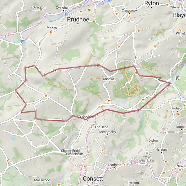
Hillside Escape is a 32-kilometer gravel route that showcases the rugged beauty of Northumberland. With 487 meters of ascent, this route offers a mix of challenging terrain and scenic landscapes. Suitable for gravel bikes, it provides an exhilarating experience for intermediate-level cyclists. Highlights include the historic village of Ebchester, known for its Roman origins, as well as charming stops in Hedley on the Hill and High Spen. Enjoy the stunning vistas as you conquer the hilly paths and immerse yourself in the tranquility of nature.
A challenging ride through the heart of Northumberland
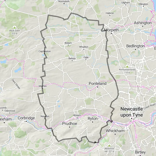
Embark on the Northumberland Challenge, a 109-kilometer road cycling route that showcases the diverse landscapes and rich history of Northumberland. With 1222 meters of ascent, this route offers a challenging experience for experienced road cyclists. Highlights include Bywell, Capheaton, Netherwitton, Mitford Castle, Dinnington, and Rowlands Gill. Journey through quaint villages, picturesque countryside, and historic landmarks that will immerse you in the fascinating heritage of the region. As you conquer the challenging terrain, be rewarded with breathtaking views and unforgettable memories.
Cycling routes nearby:
Nearby regions: