Tyne Valley Loop
A road cycling route starting from Rowlands Gill
A road cycling adventure through the Tyne Valley
Map
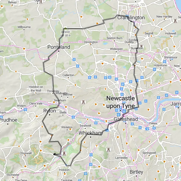
Tyne Valley Loop is a 67-kilometer road cycling route that takes you on a scenic journey through the beautiful Tyne Valley. With 736 meters of ascent, this route is suitable for intermediate-level road cyclists looking to explore the countryside near Rowlands Gill. Highlights include Ryton, Ponteland, Northumberlandia, Cramlington, Side and Dean street view from Tyne Bridge, Newcastle upon Tyne, Blackmoor Hill, and Rowlands Gill. Enjoy the picturesque landscapes and charming villages as you pedal through this road cycling adventure.
road
67 km
736 m
Tough
Route profile
Highlights on the route
0 km
0 km
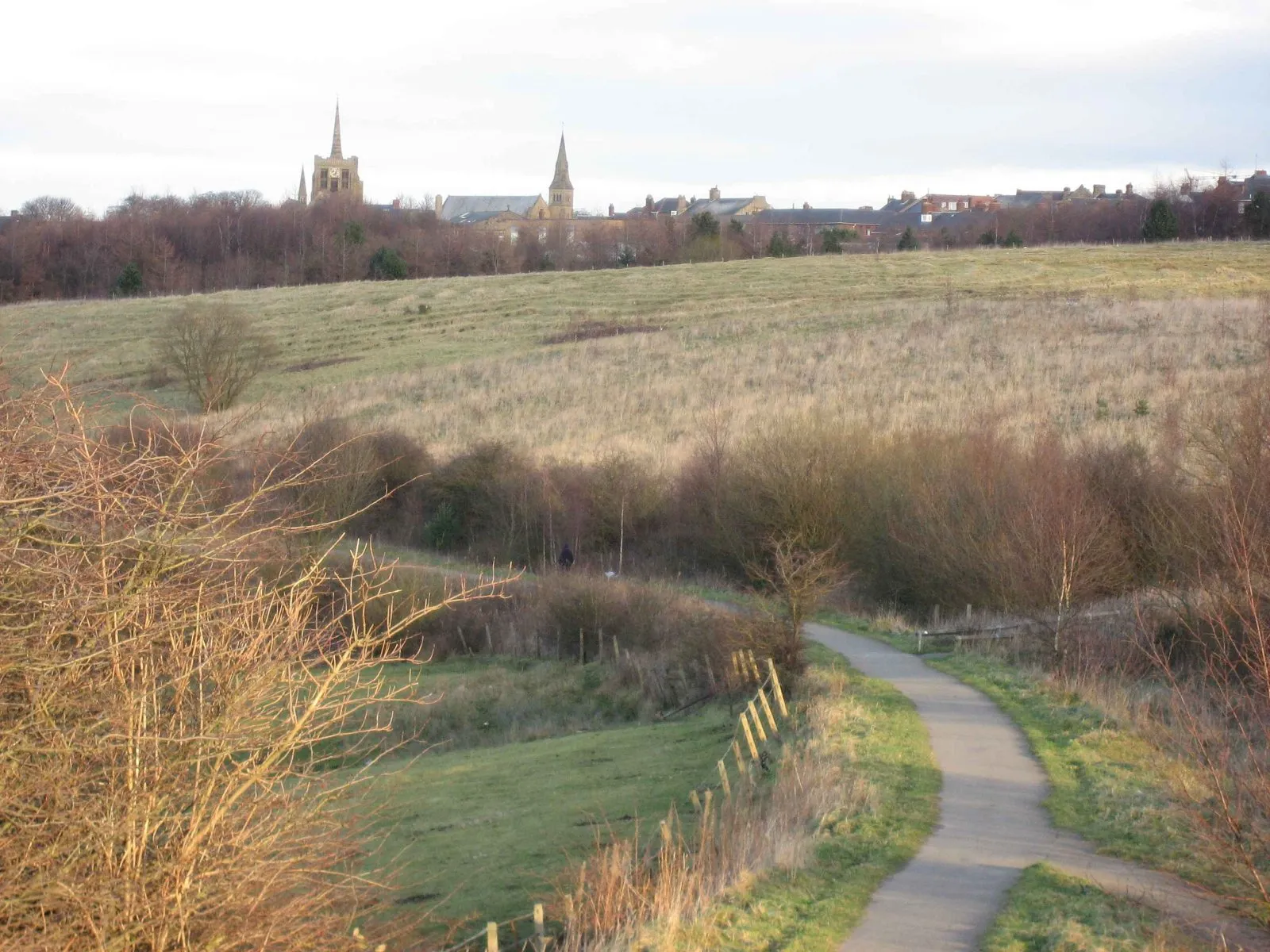
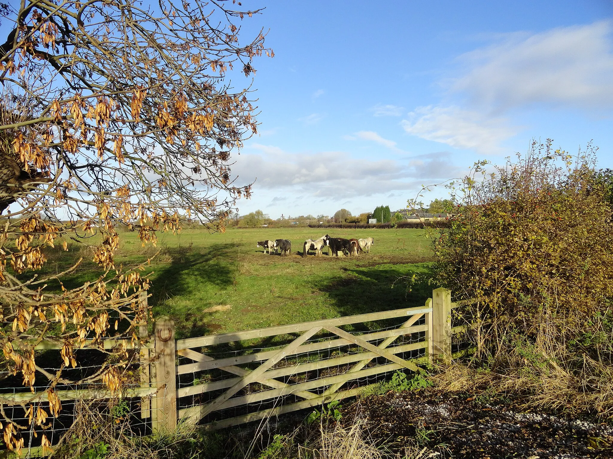
Start: Rowlands Gill Village centerRowlands Gill: Immersing in the tranquility of North East countryside and experiencing the challenging Northumberland cycling routes from Rowlands Gill.
Rowlands Gill is a locality located in the Northumberland and Tyne and Wear region of the United Kingdom. From a cyclist's perspective, Rowlands Gill offers picturesque cycling routes through the North East countryside. The area features rolling hills and quiet roads, providing serene cycling experiences. Cyclists can explore the scenic Derwent Walk Country Park with its cycling paths and admire the beautiful landscapes. Nearby, the popular Northumberland cycling routes offer challenging climbs and diverse terrain.10 km
10 km
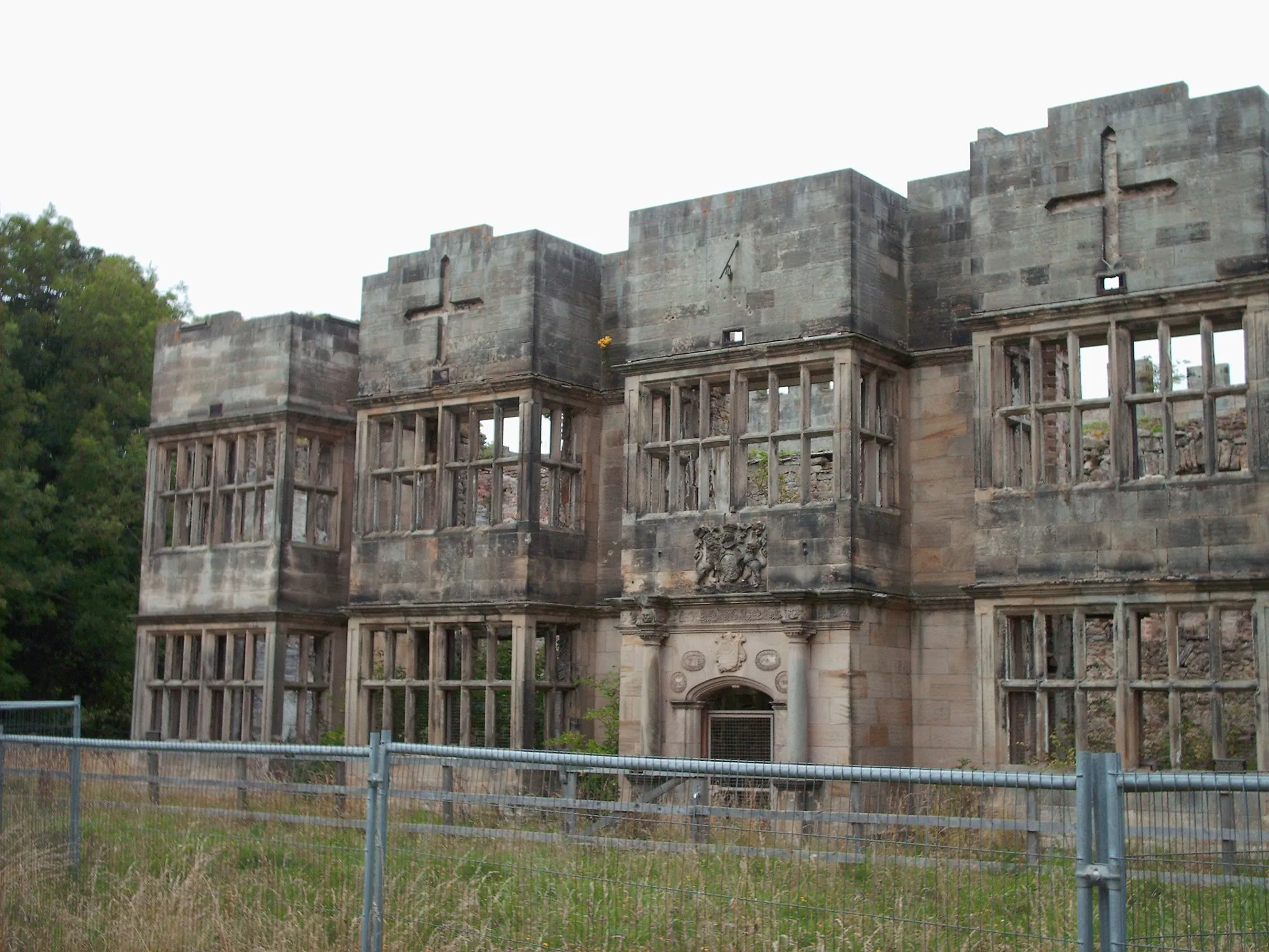
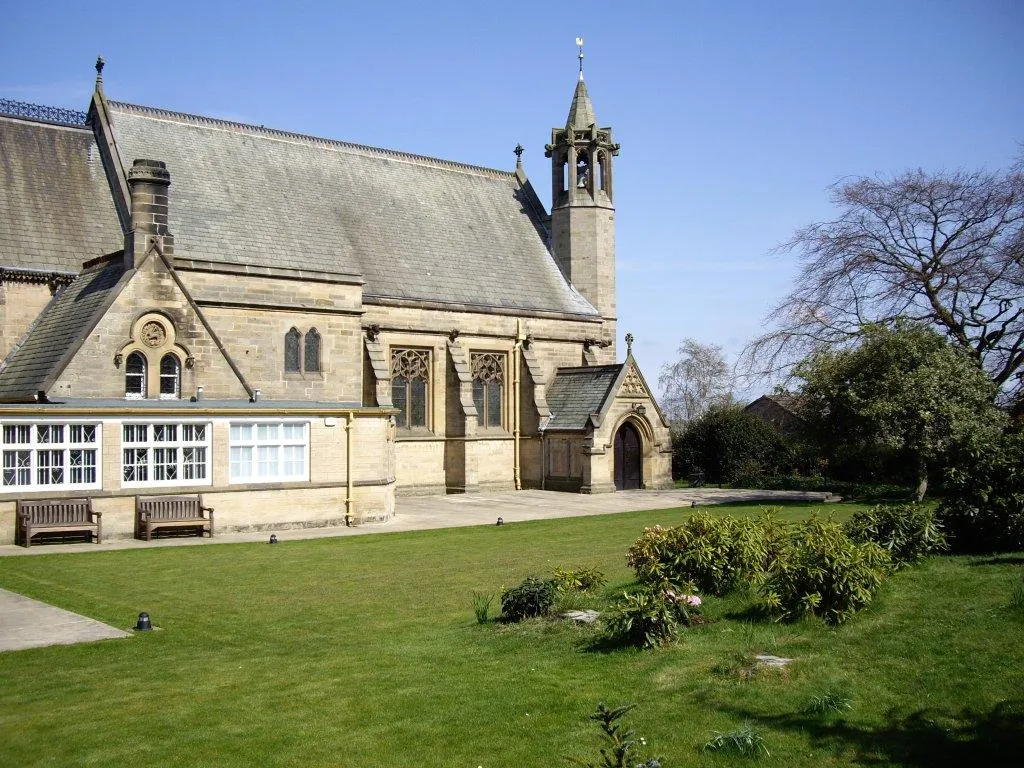
RytonTownRyton offers a mix of historic buildings and natural beauty. Explore the village and discover its hidden treasures.
22 km
22 km
PontelandTownPonteland, situated on the banks of the River Pont, boasts a rich history and stunning surroundings. Take a moment to enjoy the riverside scenery.
33 km
33 km
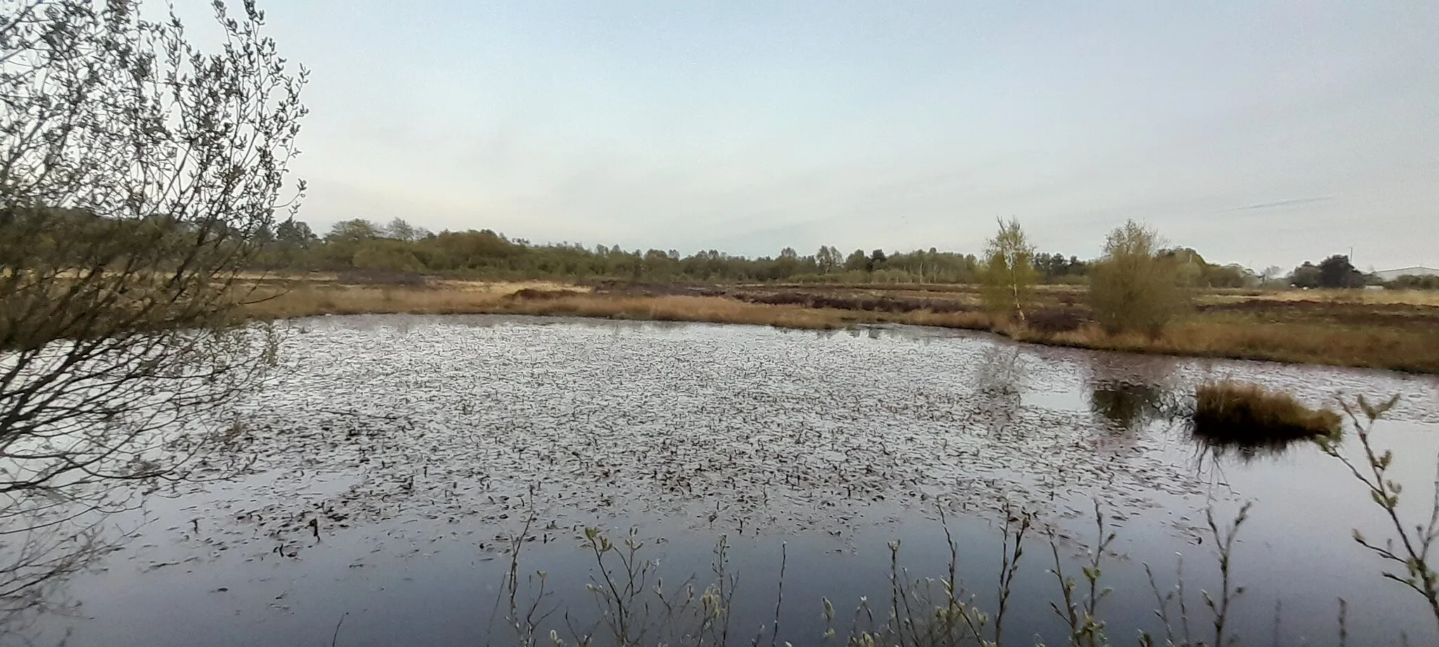
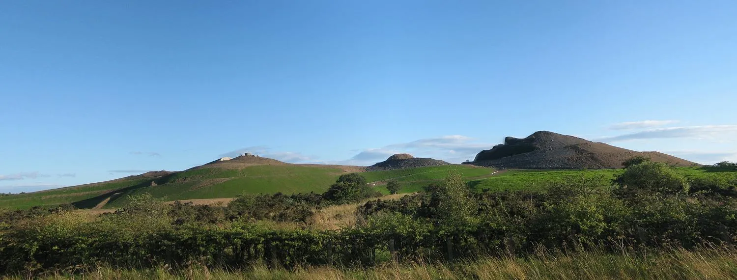
Northumberlandia110 mPeakNorthumberlandia, a unique land sculpture portraying a reclining goddess, is a fascinating sight to behold. Witness the awe-inspiring artwork during your journey.
35 km
35 km
CramlingtonTownCramlington offers a blend of modern amenities and countryside charm. Explore the vibrant town before continuing your road cycling adventure.
52 km
52 km
Side and Dean street view from Tyne BridgeViewpointMarvel at Side and Dean street view from Tyne Bridge, where iconic landmarks and historic streets combine to create a captivating scene.
52 km
52 km
Newcastle upon TyneCityNewcastle upon Tyne, a vibrant city with a rich cultural heritage, offers a mix of historic landmarks, modern architecture, and a bustling city center. Discover the diverse attractions of this buzzing city.
62 km
62 km
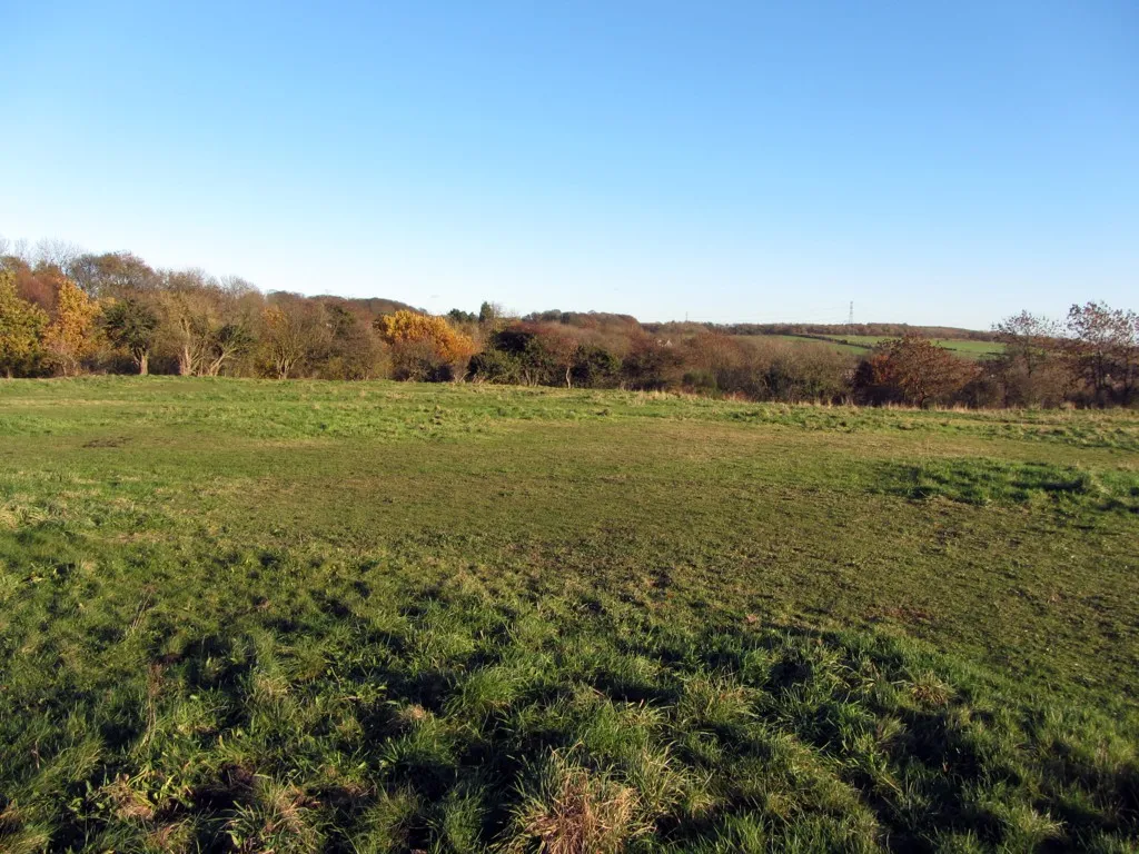
Blackmoor Hill227 mPeakBlackmoor Hill provides breathtaking views of the surrounding countryside. Take a moment to soak in the stunning vistas before continuing your journey.
67 km
67 km
Rowlands GillVillageRowlands Gill, the starting and ending point of this route, offers a tranquil riverside setting and beautiful landscapes. Conclude your road cycling adventure with a sense of accomplishment at this charming destination.
67 km
67 km
Finish: Rowlands Gill Village centerRowlands Gill: Immersing in the tranquility of North East countryside and experiencing the challenging Northumberland cycling routes from Rowlands Gill.
Cycling routes from Rowlands Gill:
Road Route to Newburn and Burnopfield Gravel adventure to Penshaw Hill and Rabbit Hills Scenic Road Route to Slaley and Wylam Road Route to Gosforth and Jarrow Slaley Adventure Hillside Escape Tyne Valley Loop The Gravel Adventure Northumberland Challenge Valley Discovery Whickham and Durham Castle Ride Healeyfield and Slaley Ride
Cycling routes nearby: