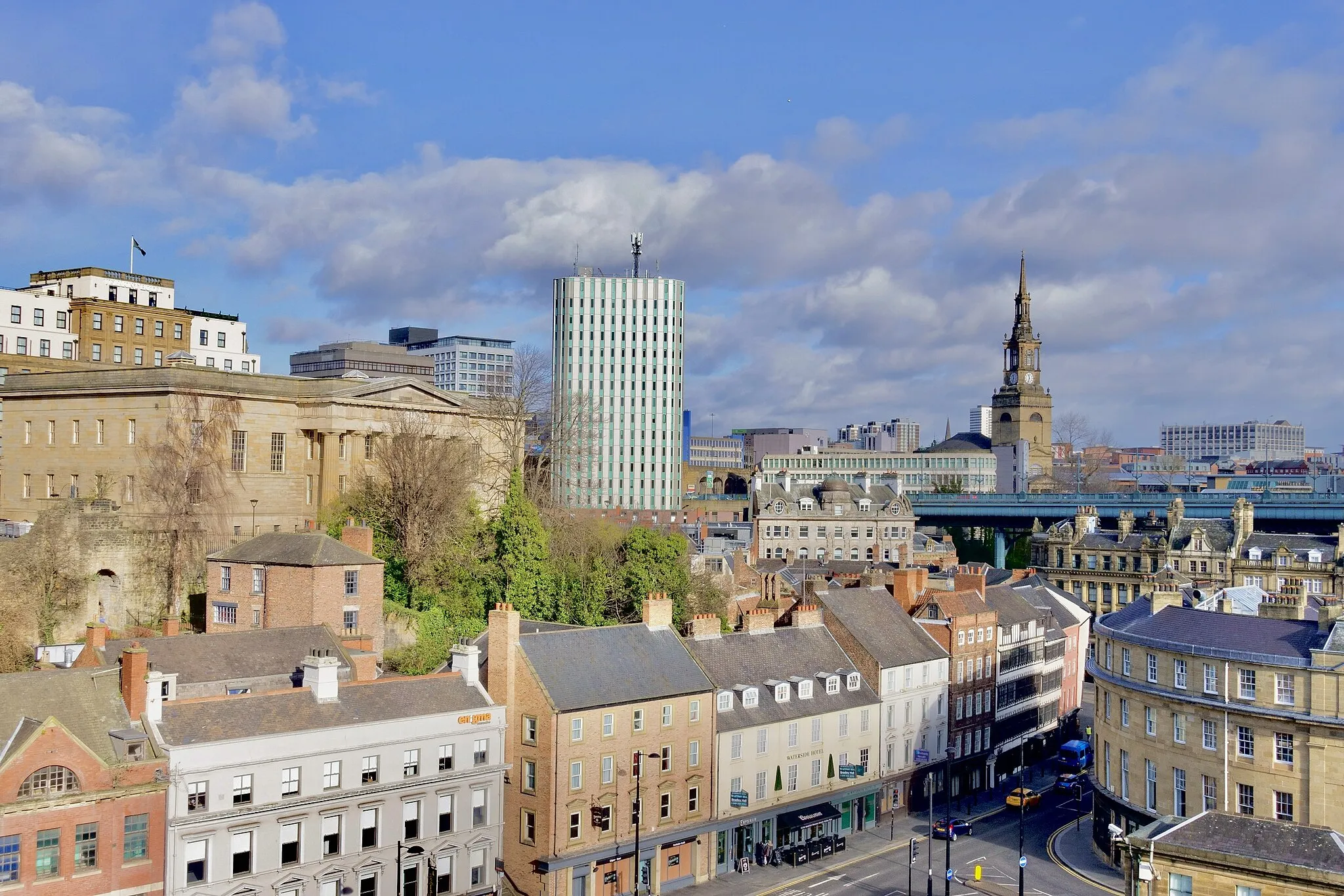
Urban Adventure and Rural Beauty: Cycling in Newburn, United Kingdom
Cycling routes from Newburn
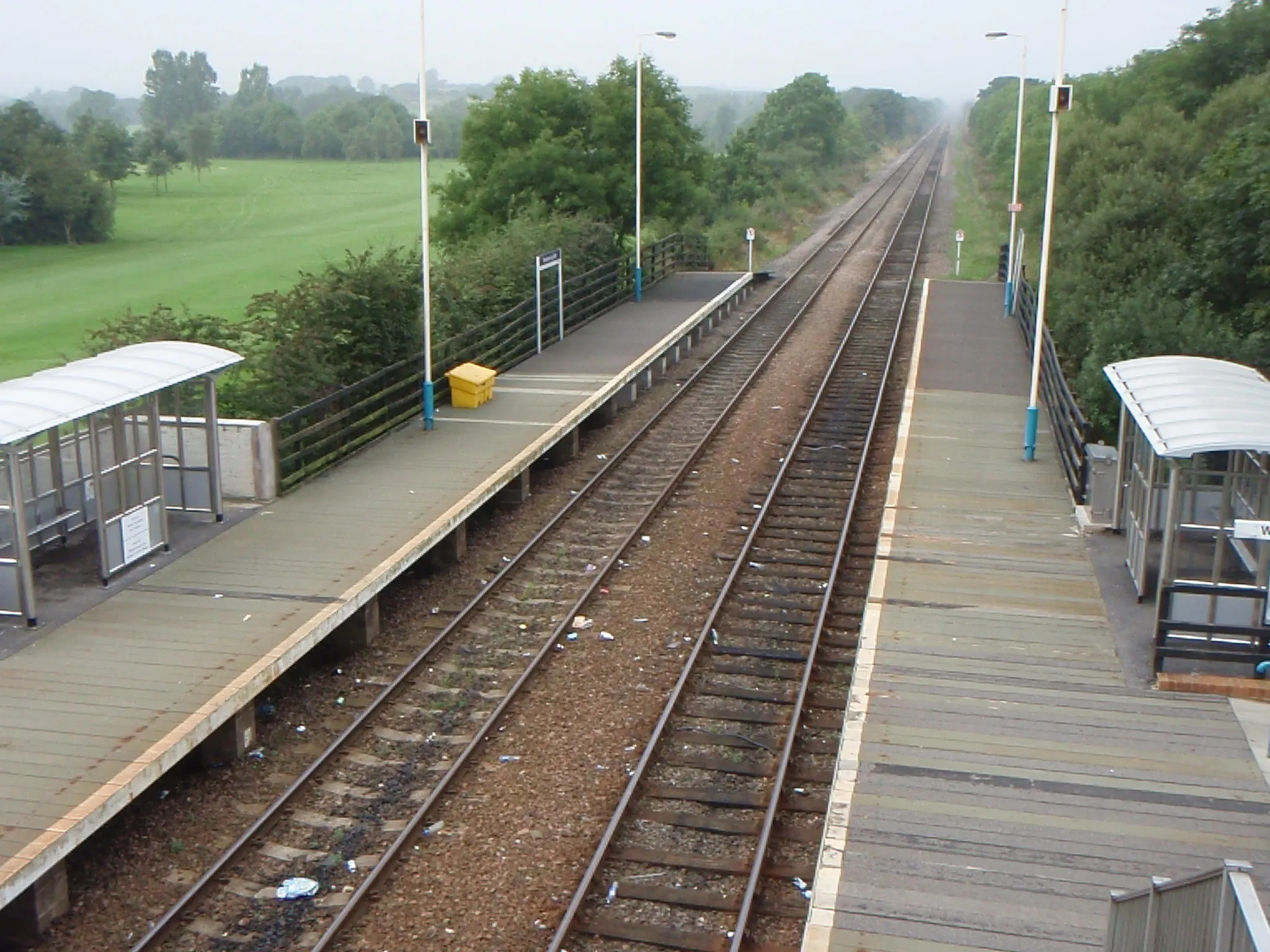
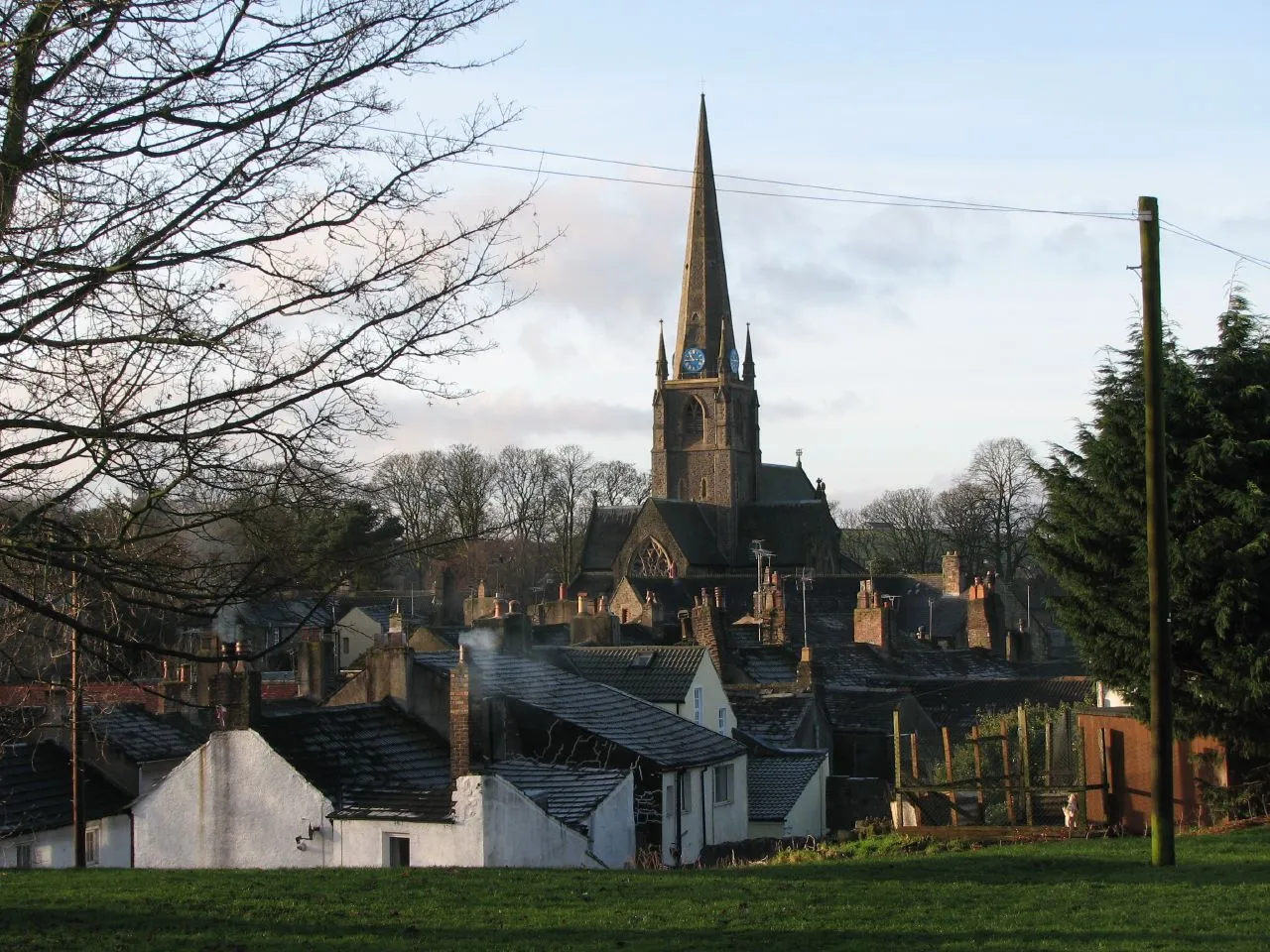
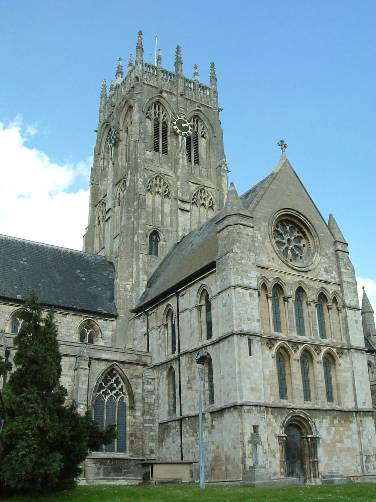
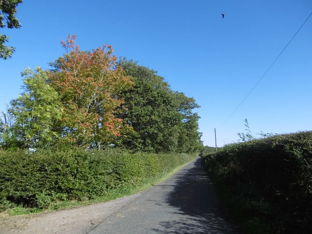
Newburn in Northumberland and Tyne and Wear, United Kingdom offers scenic cycling routes and a welcoming atmosphere for road and gravel cyclists. The town is situated on the banks of the River Tyne, providing beautiful waterside trails and peaceful countryside rides. Cyclists can explore the vibrant city of Newcastle upon Tyne and enjoy the cultural attractions and historic landmarks along the way. The picturesque landscapes of Northumberland are also easily accessible, offering scenic coastal routes and challenging climbs like Simonside Hills. With its blend of urban and rural cycling opportunities, Newburn is a great choice for cyclists seeking variety.
Knitsley and Prudhoe Castle Loop
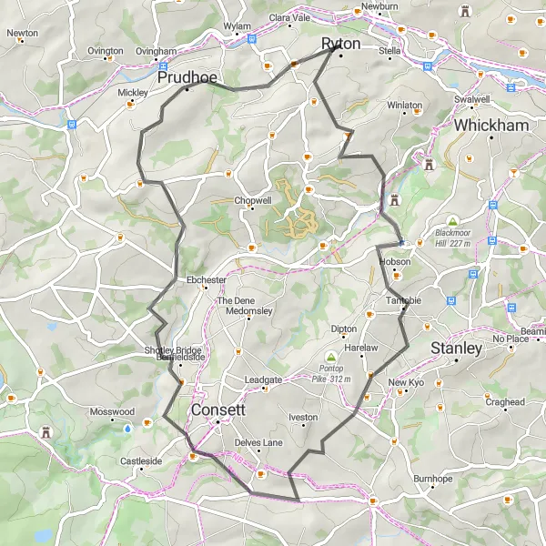
Discover the charm of Knitsley and explore Prudhoe Castle on this 53 km road route.
This 53 km road route takes you on a scenic journey from Newburn to Prudhoe, passing Knitsley along the way. With an ascent of 946 meters, this route provides a moderate level of challenge suitable for cyclists with some experience. Knitsley offers enchanting landscapes and picturesque views, making it an excellent spot for breaks. Prudhoe Castle, one of Northumberland's historic landmarks, is another highlight of this route. Overall, the route combines scenic landscapes with cultural attractions, providing a delightful cycling experience.
Embark on a historic journey from Ponteland to Lemington, uncovering the charm of the region.
This 71 km road route takes you through Ponteland, Haw Hill, Morpeth, Bothal Castle, Choppington, Jesmond, Cow Hill, and Lemington, with an ascent of 486 m. Suitable for road cyclists of all levels. Difficulty level: 2 out of 5. Epicness: 3 out of 5.

Experience the highlights of Newcastle from Blaydon to Throckley on this road route.
Covering 85 km with an ascent of 1202 m, this road route allows you to discover the best highlights of Newcastle. Explore Blaydon on Tyne, Whinnel Hill, Sacriston, Esh, Inkerman, Castleside, Ovingham, and Throckley. Suitable for road cyclists with moderate climbing skills. Difficulty level: 3 out of 5. Epicness: 4 out of 5.

Embark on a challenging 85 km road route from Newcastle upon Tyne to Consett.
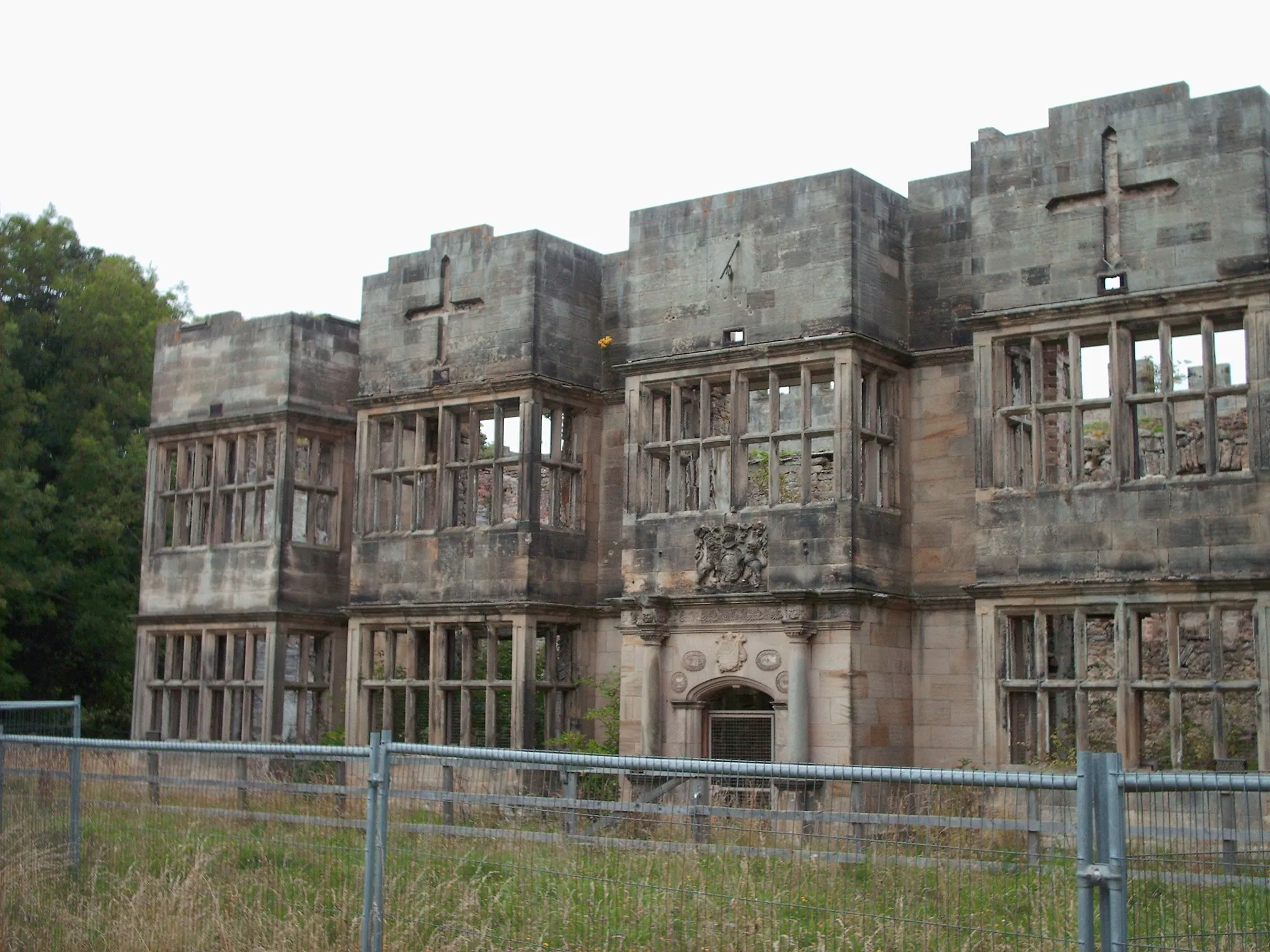
This 85 km road route starts from Newcastle upon Tyne and takes you on a challenging journey to Consett. With a total ascent of 1221 meters, this route is suitable for experienced cyclists looking for a challenging ride. You'll pass through Chester-le-Street and Framwellgate Moor, offering scenic countryside views and historic landmarks. The highlight of this route is Brancepeth Castle, a medieval fortress that showcases the region's rich history. Overall, this route provides a mix of challenging terrains, cultural landmarks, and scenic countryside.

Embark on a scenic journey from Rowlands Gill to Greenside experiencing the beauty of Tyne Valley.
This 87 km gravel route allows you to explore Rowlands Gill, Consett, Waskerley, Baybridge, Derwent Reservoir, Whittonstall, and Greenside. With an ascent of 983 m, this challenging route is recommended for experienced gravel riders. Difficulty level: 4 out of 5. Epicness: 4 out of 5.

A scenic route with beautiful views of Rowlands Gill and Derwent Reservoir.
This 77 km gravel route offers stunning views of Rowlands Gill and takes you around the picturesque Derwent Reservoir. With a total ascent of 910 meters, it provides a moderate challenge for experienced cyclists. The route starts near Newburn in Northumberland and takes you through the charming town of Consett and the scenic Waskerley village. As you cycle along, you'll pass Apperley Dene and Prudhoe, offering opportunities for short breaks and photo stops. Overall, this route showcases the natural beauty and picturesque landscapes of the Newburn area.

Explore Side, Dean Street view, and Lemington as you cycle across the iconic Tyne Bridge.
This 45 km gravel route allows you to experience the iconic Tyne Bridge while exploring the surroundings of Side, Dean Street, and North Gosforth. With a total ascent of 268 meters, this route offers a moderate level of challenge suitable for all skill levels. Starting near Newburn in Northumberland, you'll cycle through Newcastle upon Tyne and make stops at Killingworth and Kenton. The highlights of this route include the picturesque views from Tyne Bridge and Lemington village. Overall, this route provides a mix of urban and rural landscapes.
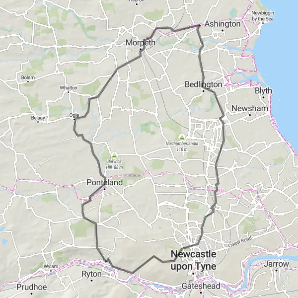
Newburn to Ulgham Exploration
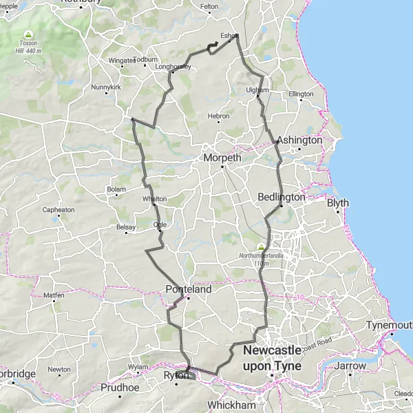
Cycle from Newburn to Ulgham and explore North Gosforth and Longhorsley along the way.
This 103 km road route takes you from Newburn to Ulgham, passing through North Gosforth and Longhorsley. With a total ascent of 798 meters, this route offers a moderate level of challenge suitable for intermediate cyclists. Starting near Newburn, you'll experience a mix of urban and rural landscapes as you cycle through residential areas and picturesque villages. Highlights of this route include Darras Hall, known for its prestigious properties, and the striking Northumberlandia, a land sculpture shaped in the form of a reclining lady. Overall, this route provides a diverse cycling experience, showcasing both natural beauty and unique landmarks.

Embark on a scenic road journey from Ovingham to Eachwick encircling Northumberland's beauty.
This 112 km road route takes you through Ovingham, Sandhoe, Chollerton, West Woodburn, Otterburn, Scots Gap, Belsay, and Eachwick. With an ascent of 1226 m, it's recommended for experienced road cyclists. Difficulty level: 4 out of 5. Epicness: 4 out of 5.

Explore historical landmarks from Lemington to Segedunum Fort
This gravel route takes you through Lemington, Weetslade Colliery Country Park, Backworth, Wallsend, Segedunum Fort Viewing Tower, Gateshead, and offers breathtaking views of Side and Dean street from Tyne Bridge. With a distance of 55 km and an ascent of 341 m, this route is suitable for experienced gravel cyclists. Difficulty level: 3 out of 5. Epicness: 4 out of 5.
Cycling routes nearby:
Nearby regions: