Mountain Challenge
A road cycling route starting from Wooler
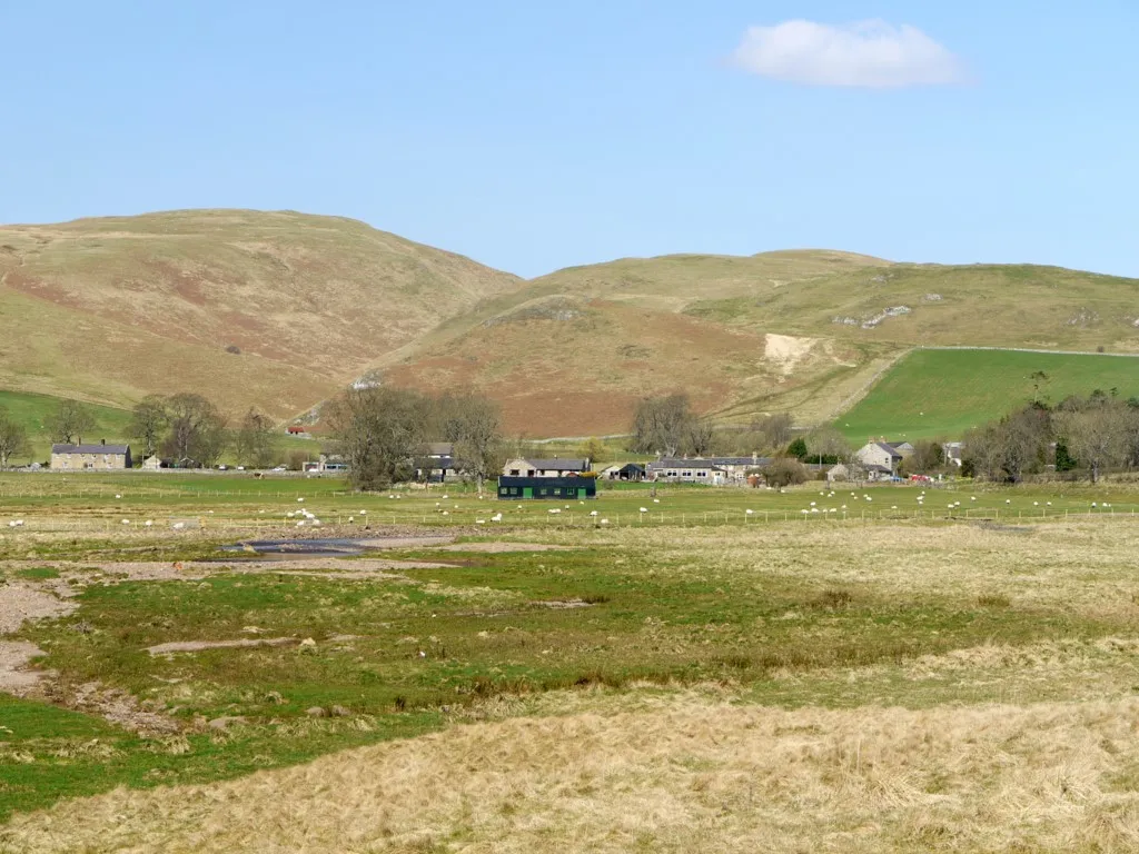
Embark on a challenging mountain cycling adventure near Wooler
Map
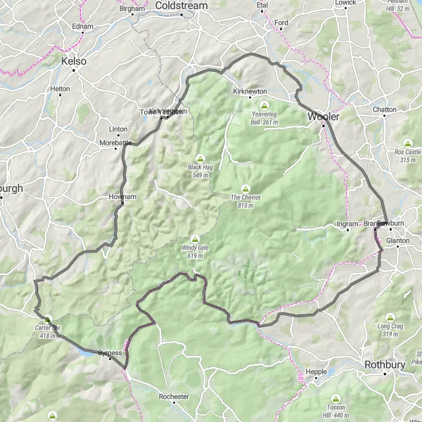
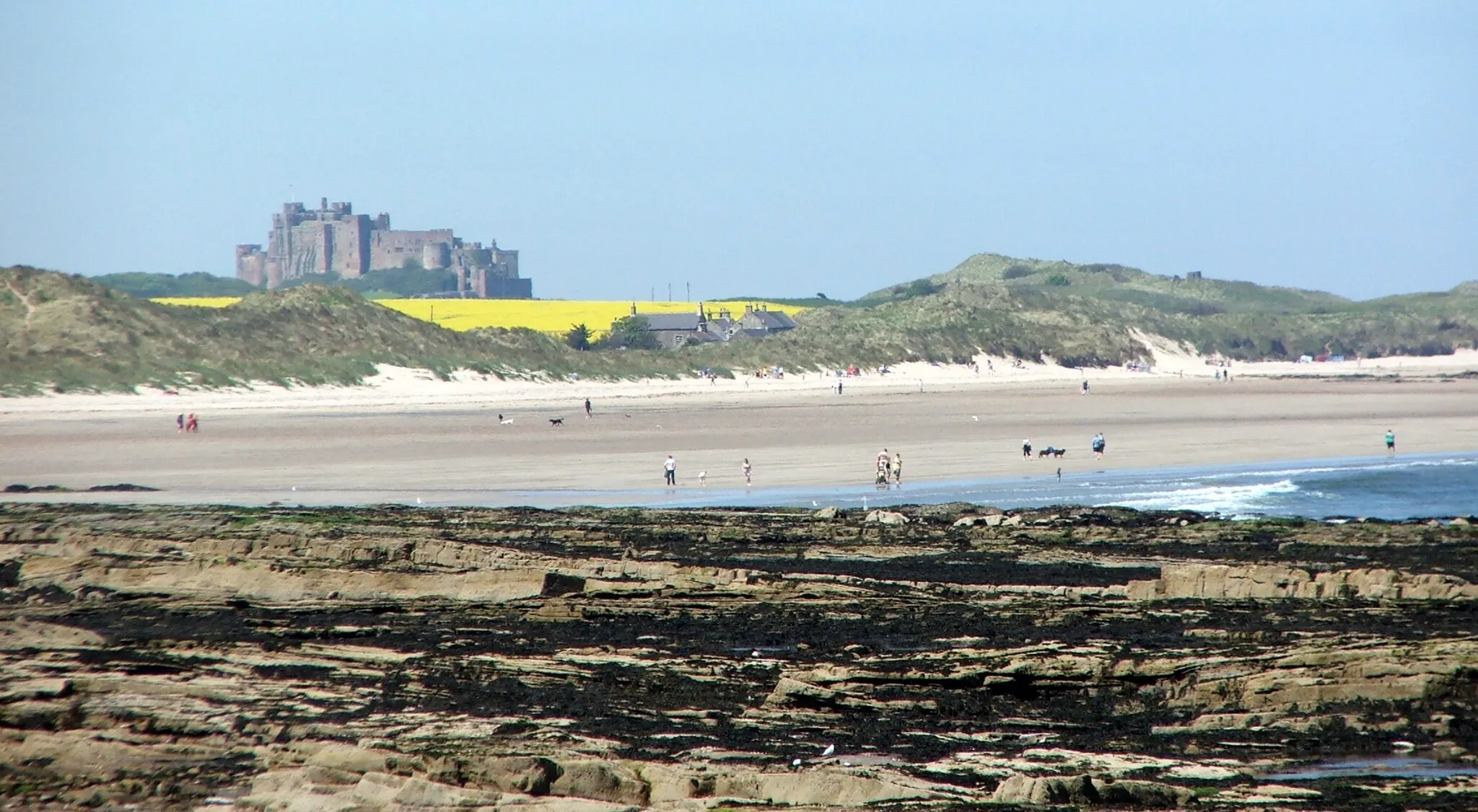
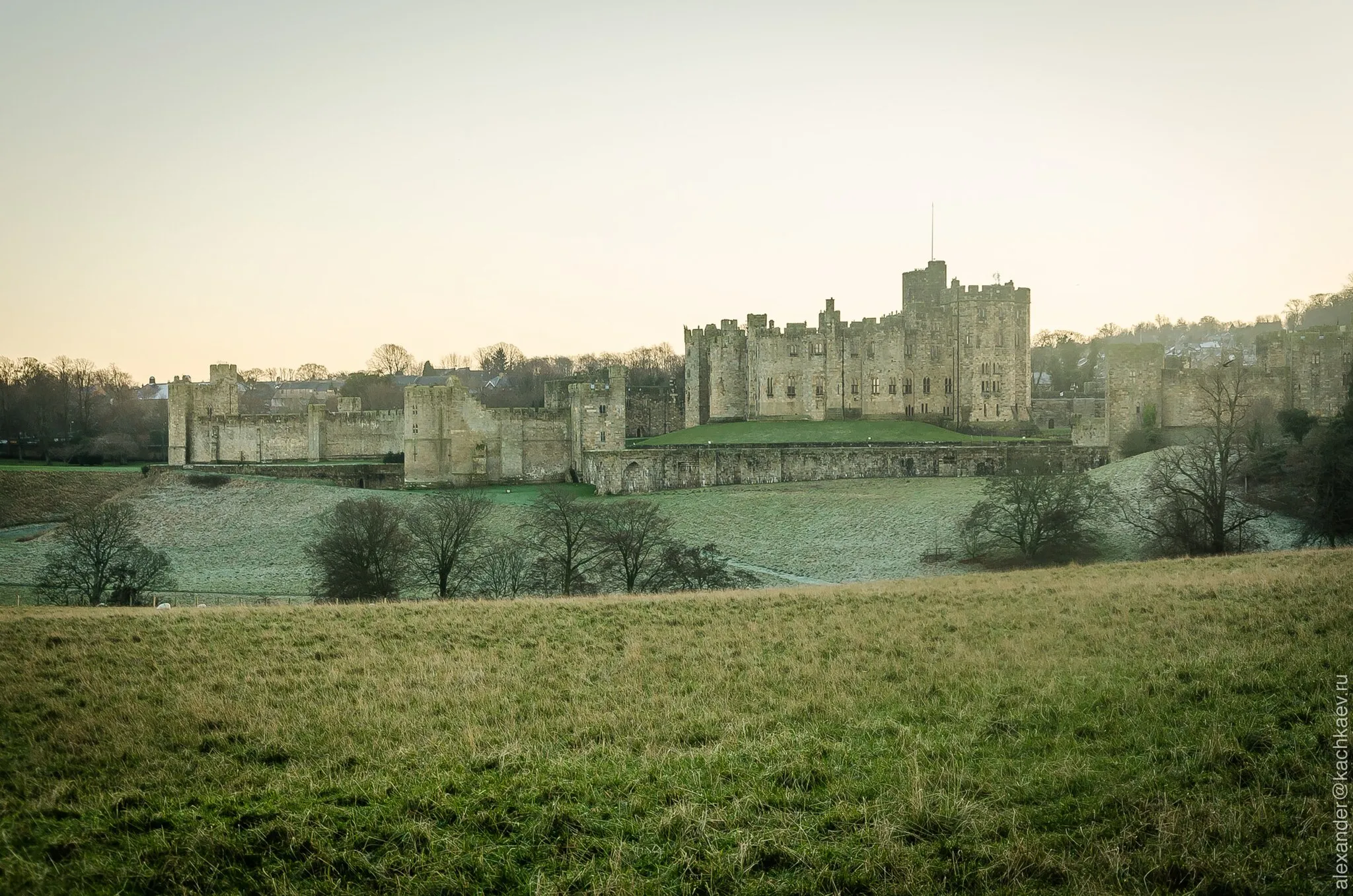
With an ascent of 1589 meters and a distance of 133 km, this route offers a real challenge for experienced cyclists. The epicness of this journey is rated at 4, as it takes you through some of the most rugged and breathtakingly beautiful landscapes in the area. On this route, you will reach heights and experience terrains that are considered legendary within the biking community. Highlights of this route include Alwinton, a picturesque village nestled amongst rolling hills, Wedder Leap Picnic Area where you can take a break and enjoy the stunning scenery, and Carter Bar, a border crossing between England and Scotland with panoramic views.
road
133 km
1589 m
Savage
Route profile
Highlights on the route
0 km
0 km
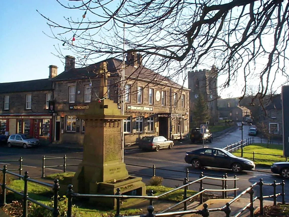
Start: Wooler City centerWooler: Cycling-friendly locality with access to famous cycling spots.
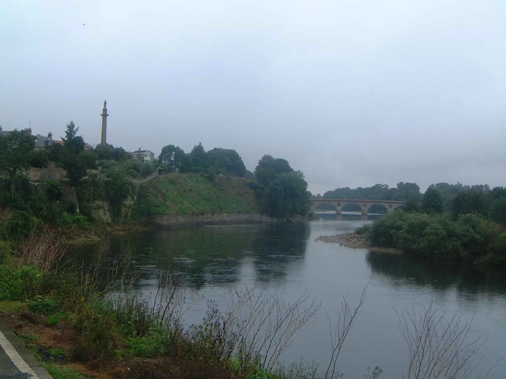
Wooler is a locality in Northumberland and Tyne and Wear, United Kingdom. It offers a variety of road and gravel cycling routes for cyclists of all levels. The beautiful countryside and rolling hills make it an ideal spot for leisure rides. One of the famous cycling locations nearby is the Cheviot Hills, known for its challenging climbs and stunning views. Wooler also has cycling-friendly facilities and amenities, such as bike shops and rentals, making it a great destination for cycling enthusiasts. Overall, Wooler is a cycling-friendly locality with scenic routes and access to famous cycling spots.0 km
0 km
Wooler TowerCastle RuinsWooler Tower, located near the starting point, offers stunning panoramic views of the surrounding hills and farmland.
15 km
15 km
Cow Hill125 mPeakLocated in the heart of the Cheviot Hills, Cow Hill allows you to experience true mountain biking amidst breathtaking landscapes.
35 km
35 km
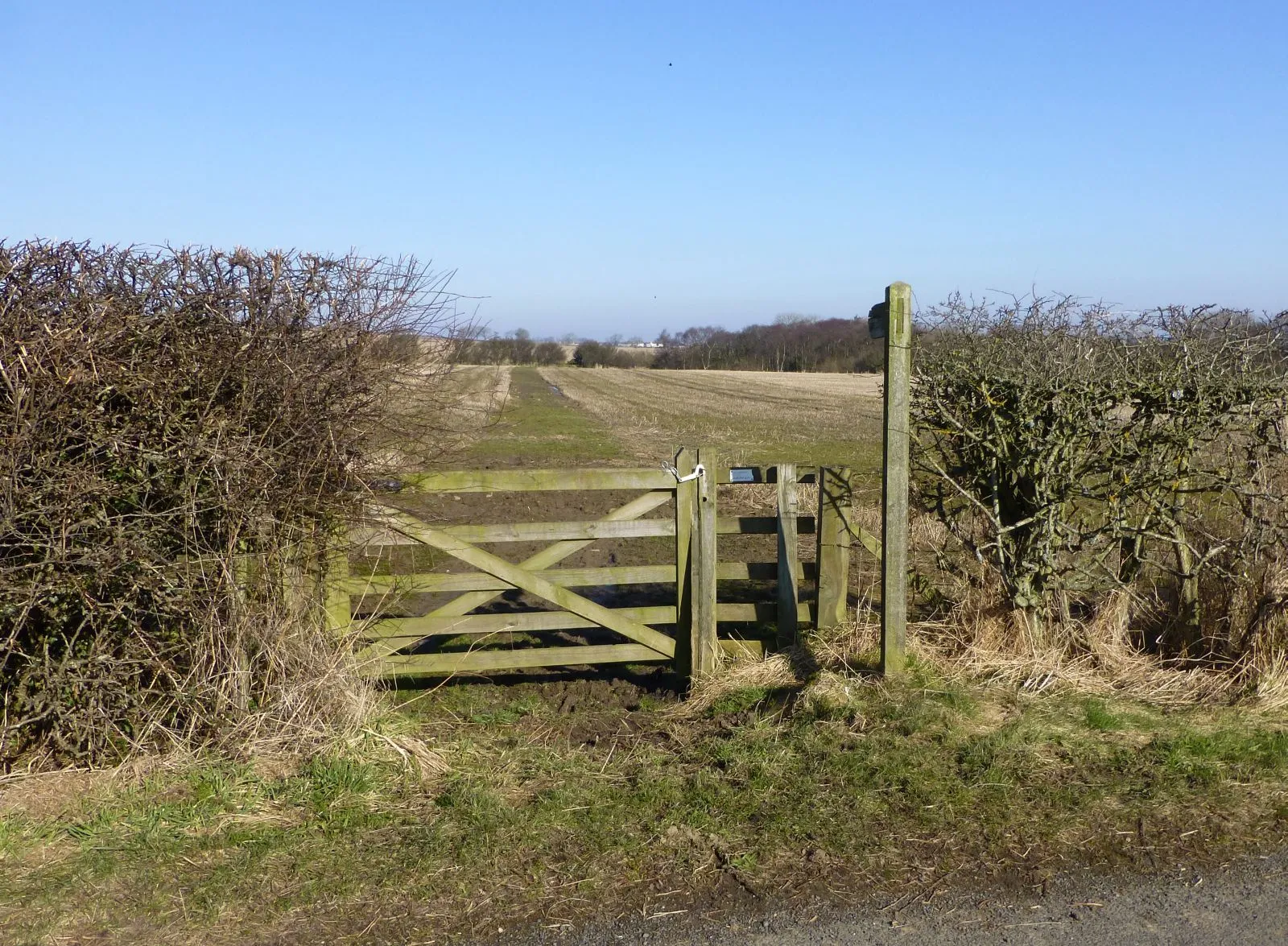
AlwintonHamletAlwinton is a charming village known for its peaceful setting and access to challenging mountain biking trails.
44 km
44 km
Wedder Leap Picnic AreaPicnic SiteWedder Leap Picnic Area provides a perfect spot to rest and take in the incredible views of the rugged terrain.
53 km
53 km
Thirl Moor558 mPeakThirl Moor offers panoramic views of the wild and untouched landscapes that Northumberland is famed for.
66 km
66 km
ByrnessVillageByrness is a remote area surrounded by rolling hills, perfect for challenging mountain biking adventures.
74 km
74 km
Carter Bar418 mMountain PassCarter Bar, located on the English-Scottish border, offers breathtaking views of the surrounding countryside.
95 km
95 km
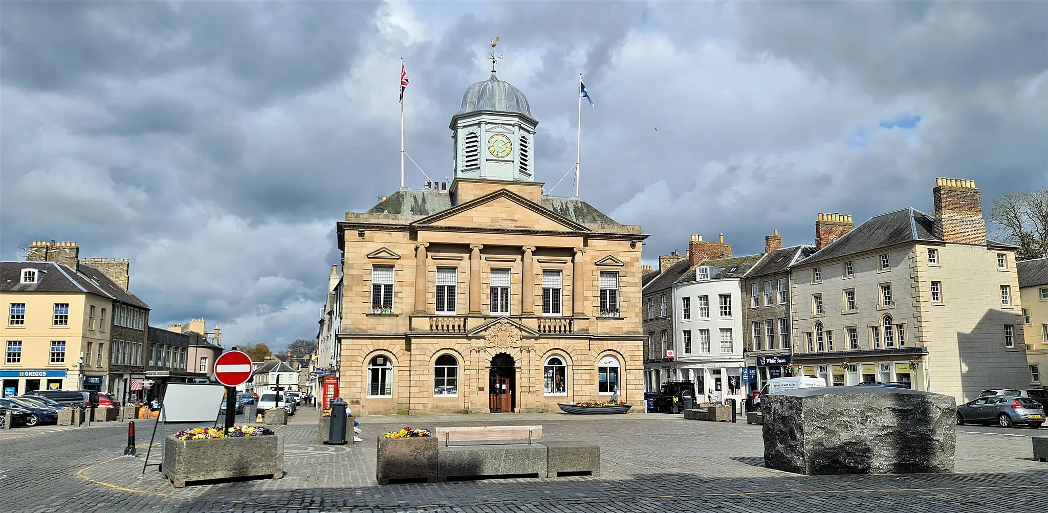
HownamVillageHownam is a beautiful village located on the border between England and Scotland, with stunning mountain vistas.
103 km
103 km
Highside273 mPeakHighside offers unparalleled views of the Cheviot Hills and the expansive beauty of Northumberland National Park.
107 km
107 km
Town YetholmVillageTown Yetholm is a charming village tucked away in the heart of the countryside, offering tranquility and natural beauty.
119 km
119 km
HowtelHamletHowtel is a quaint hamlet nestled amidst picturesque countryside, providing a scenic spot to take a rest.
133 km
133 km
WoolerTownWooler itself is a highlight, offering a charming town center with shops, cafes, and traditional buildings.
133 km
133 km
Finish: Wooler City centerWooler: Cycling-friendly locality with access to famous cycling spots.
Cycling routes nearby: