Wooler and Surrounding Hills
A road cycling route starting from Wooler
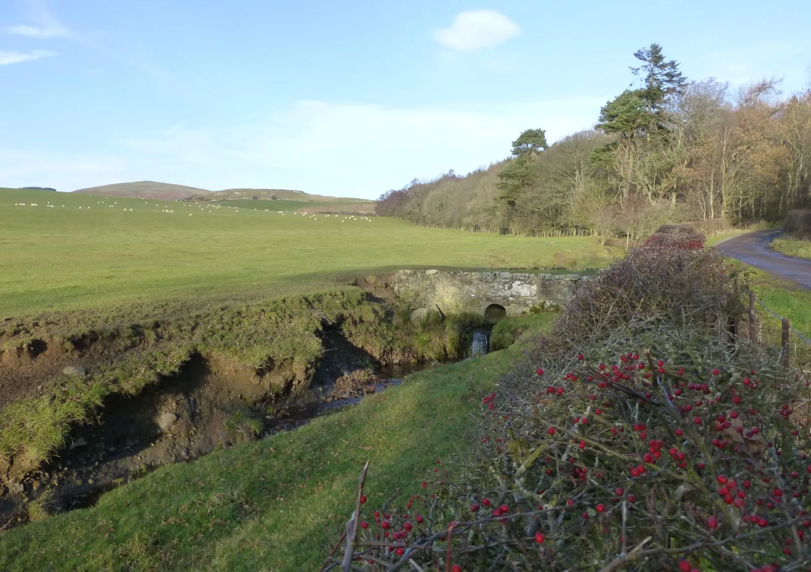
A scenic cycling route through the hills near Wooler, Northumberland
Map
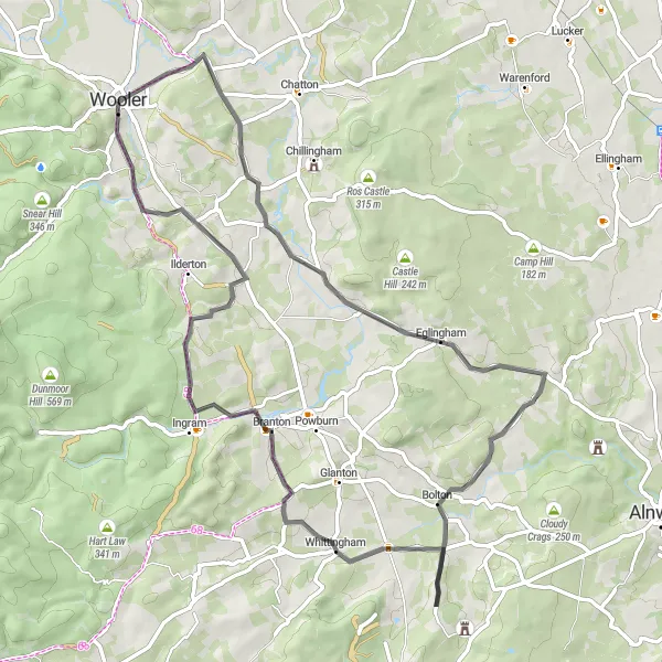
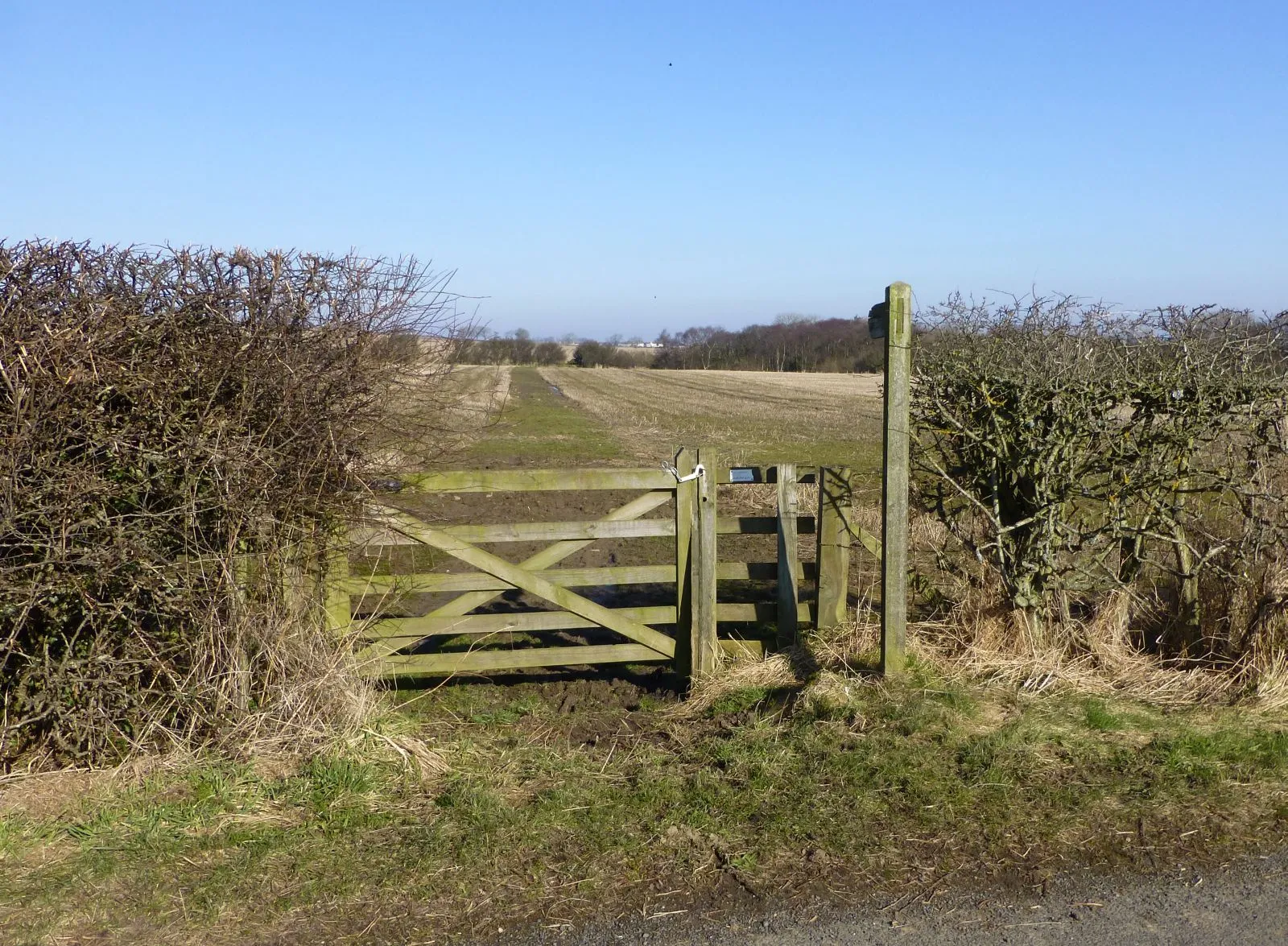
This route takes you through the picturesque hills surrounding Wooler, offering stunning views of the countryside. With a moderate difficulty level, it is suitable for well-trained amateurs. The route covers a distance of 63 km and includes an ascent of 652 meters. The epicness of this route is rated at 3, as it offers beautiful scenery and challenging terrains. Highlights of this route include Wooler Tower, a historic landmark with panoramic views, and Cow Hill, a scenic viewpoint providing breathtaking vistas of the countryside.
road
63 km
652 m
Tough
Route profile
Highlights on the route
0 km
0 km
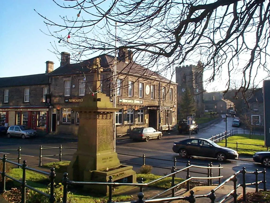
Start: Wooler City centerWooler: Cycling-friendly locality with access to famous cycling spots.
Wooler is a locality in Northumberland and Tyne and Wear, United Kingdom. It offers a variety of road and gravel cycling routes for cyclists of all levels. The beautiful countryside and rolling hills make it an ideal spot for leisure rides. One of the famous cycling locations nearby is the Cheviot Hills, known for its challenging climbs and stunning views. Wooler also has cycling-friendly facilities and amenities, such as bike shops and rentals, making it a great destination for cycling enthusiasts. Overall, Wooler is a cycling-friendly locality with scenic routes and access to famous cycling spots.0 km
0 km
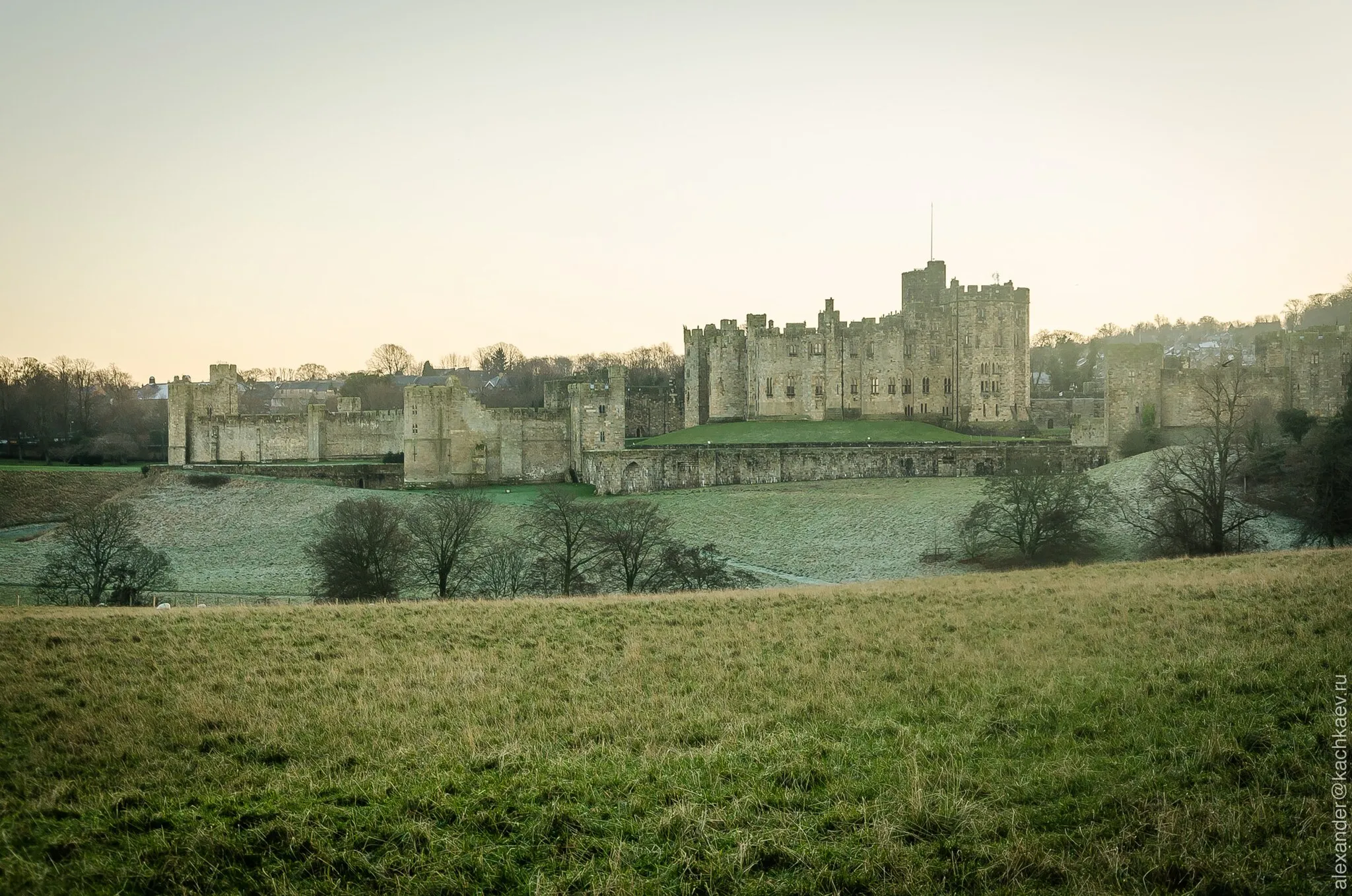
Wooler TowerCastle RuinsLocated in Wooler, the Wooler Tower offers 360-degree panoramic views of the surrounding countryside.
14 km
14 km
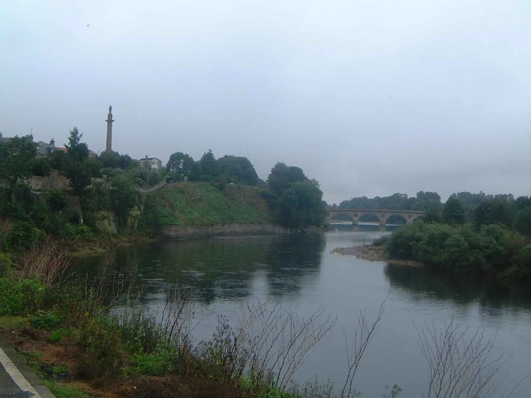
Bewick Hill232 mPeakBewick Hill is a tranquil spot, ideal for taking in the scenery and enjoying a moment of peace.
39 km
39 km
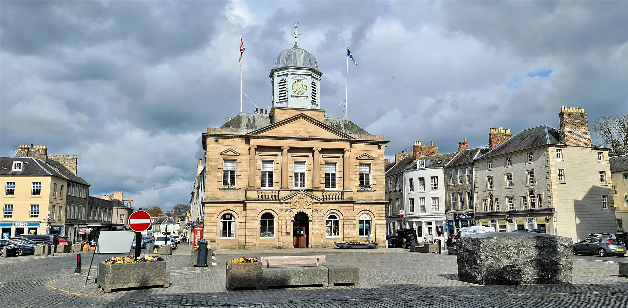
WhittinghamVillageWhittingham is a charming village surrounded by rolling hills and lush greenery.
45 km
45 km
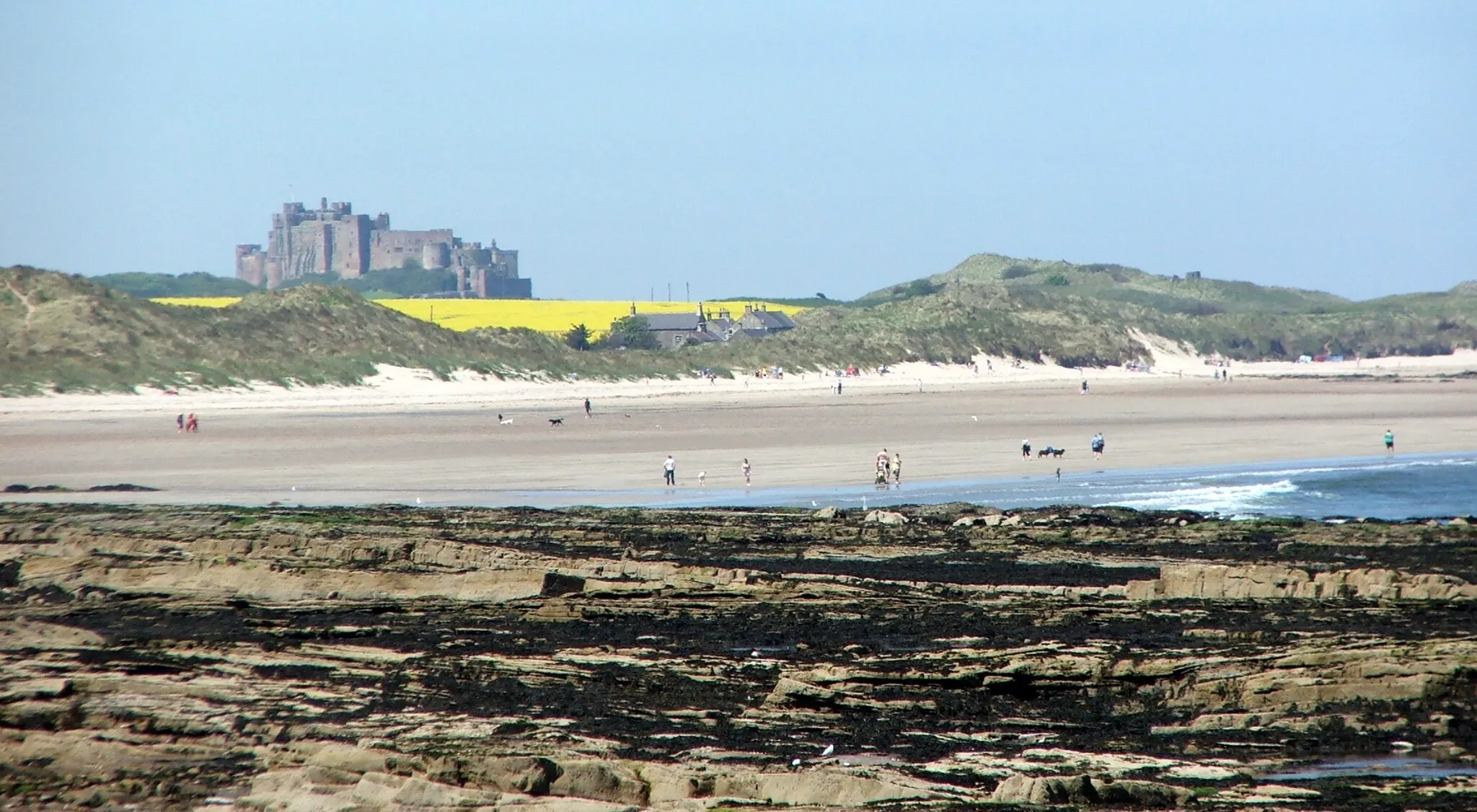
Cow Hill125 mPeakCow Hill provides stunning views of the countryside and is a perfect spot for a picnic.
63 km
63 km
Viewpoint south of WoolerViewpointFrom the viewpoint south of Wooler, you can admire the sweeping landscapes and the town nestled below.
63 km
63 km
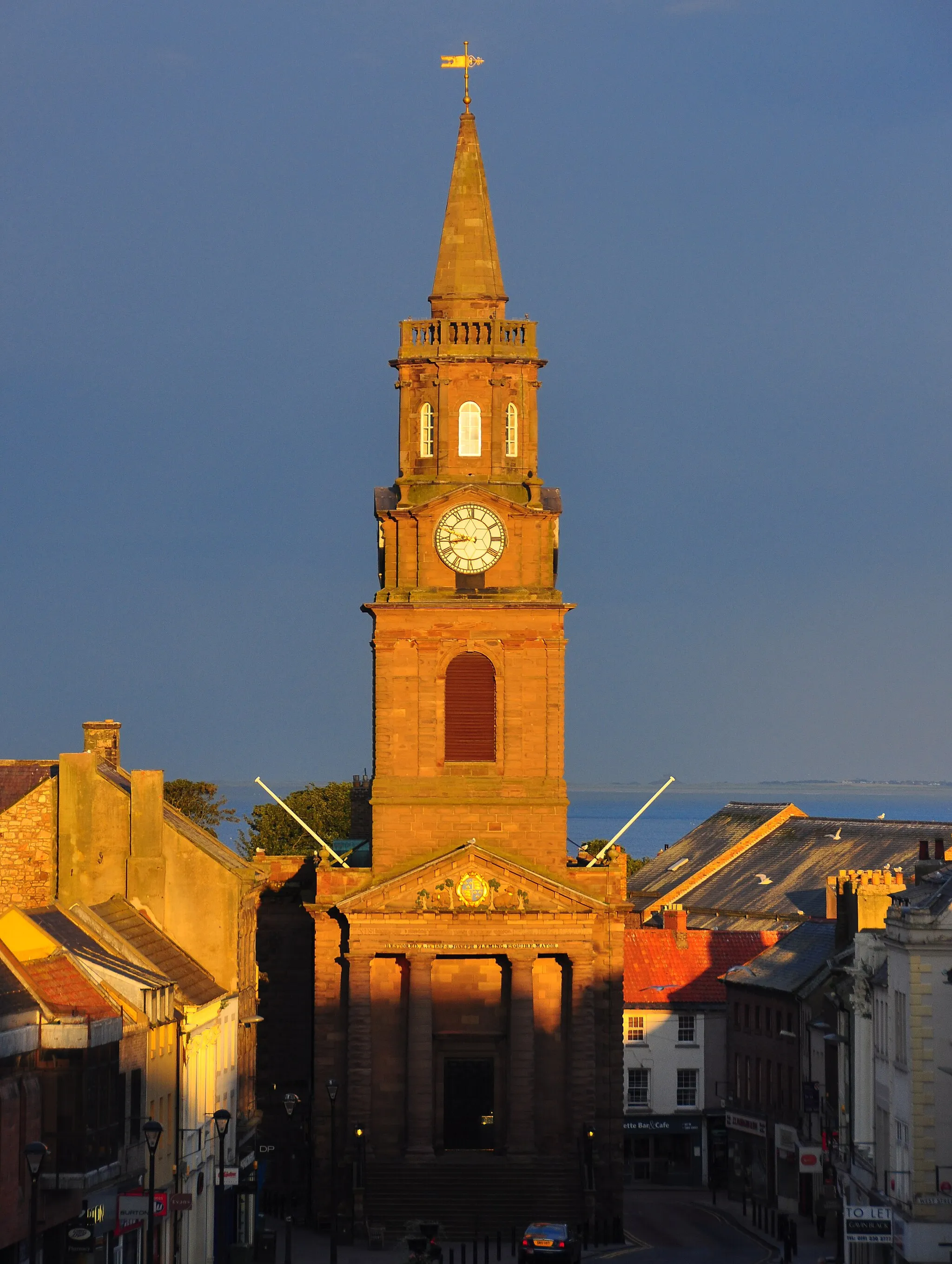
WoolerTownWooler itself is a highlight, offering a charming town center with shops, cafes, and traditional buildings.
63 km
63 km
Finish: Wooler City centerWooler: Cycling-friendly locality with access to famous cycling spots.
Cycling routes nearby: