Stainforth Gravel Route
A gravel cycling route starting from Stainforth
Explore the scenic beauty of Stainforth on a gravel route
Map

This gravel route starting from Stainforth takes you through picturesque landscapes with a total distance of 37 km and an ascent of 13 meters. Its relatively low difficulty level makes it suitable for amateurs. The route offers a unique opportunity to visit highlights like Thorne Moor Viewing Tower, Crowle, and Hatfield Woodhouse.
gravel
37 km
13 m
Chill
Route profile
Highlights on the route
0 km
0 km
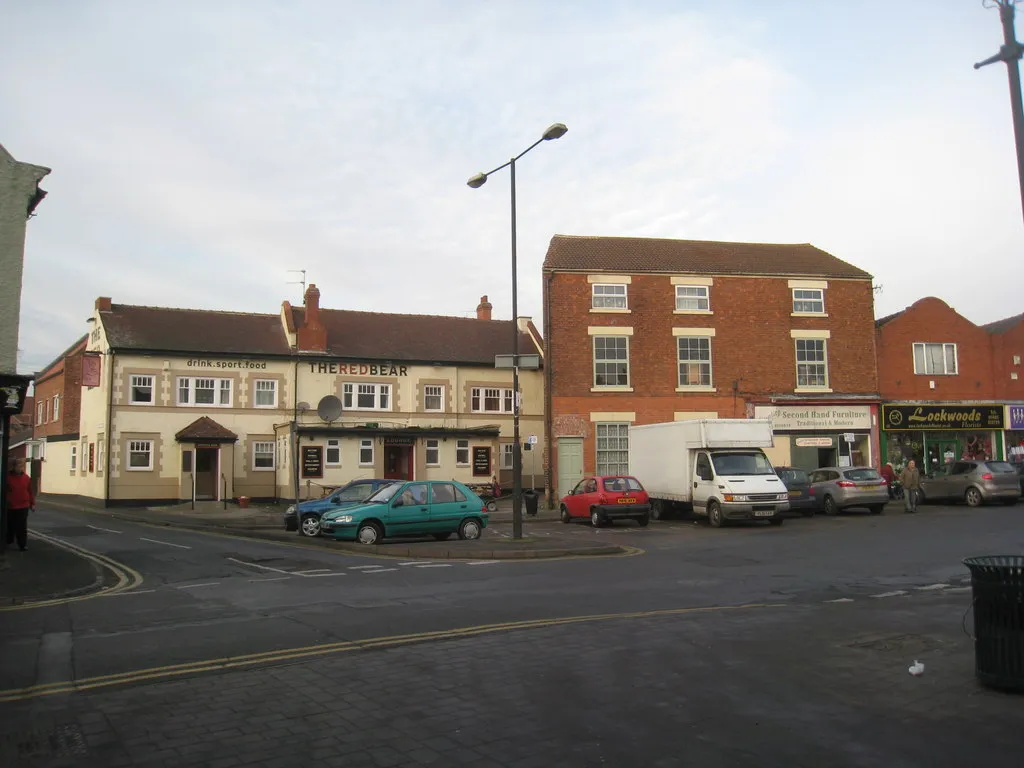
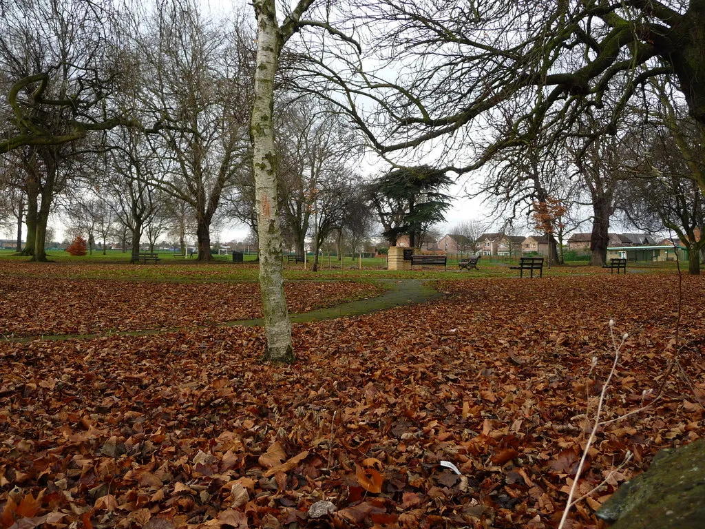
Start: Stainforth City centerStainforth: Cycle through the stunning landscapes of Stainforth, South Yorkshire
Stainforth, located in South Yorkshire, United Kingdom, offers a mix of road and gravel cycling routes with varying levels of difficulty. Cyclists can explore the picturesque countryside, enjoying the scenic views and peaceful atmosphere. Notable cycling spots near Stainforth include Thorne Moors and Old Moor Nature Reserve, presenting diverse landscapes and opportunities for wildlife spotting. With its combination of accessible routes and natural beauty, Stainforth is a great destination for cyclists seeking both enjoyable rides and a connection with nature.0 km
0 km
StainforthTownStainforth is a charming village known for its historic bridge and picturesque views.
12 km
12 km
THorne Moor Viewing TowerViewpointThorne Moor Viewing Tower offers panoramic views of the surrounding moorland.
18 km
18 km
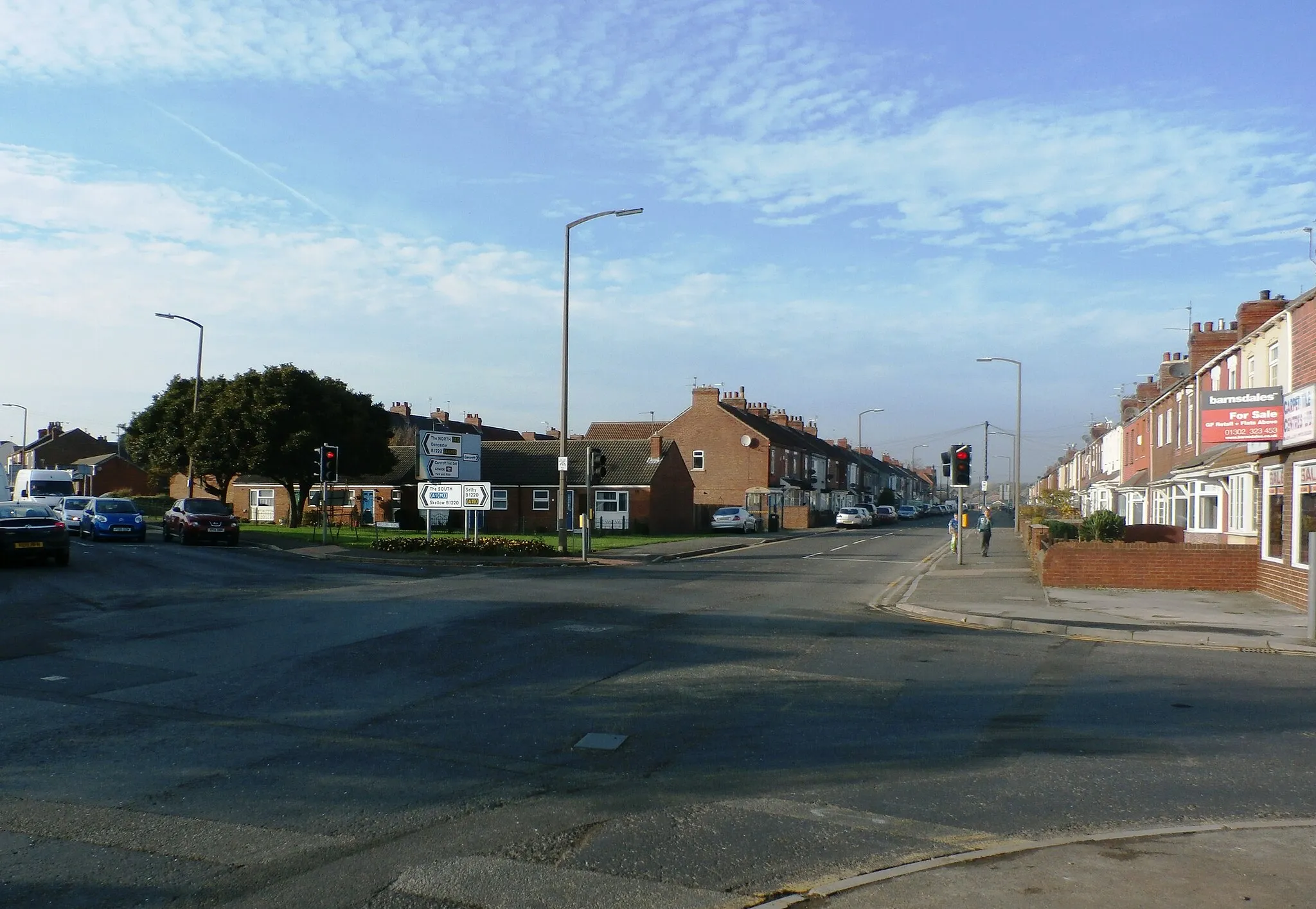
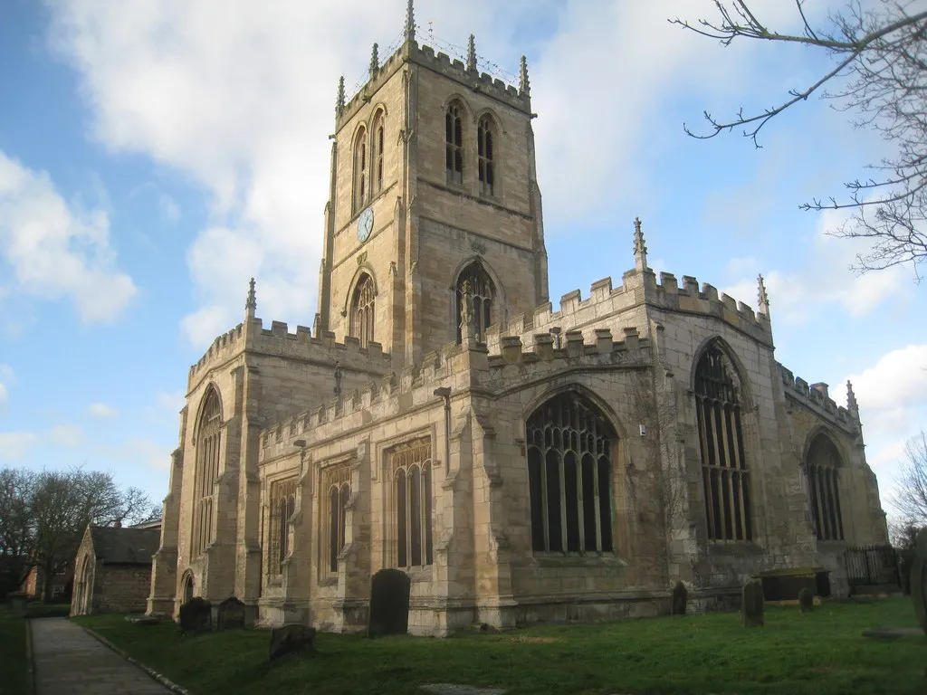
CrowleTownCrowle is a historic market town with a rich architectural heritage.
32 km
32 km
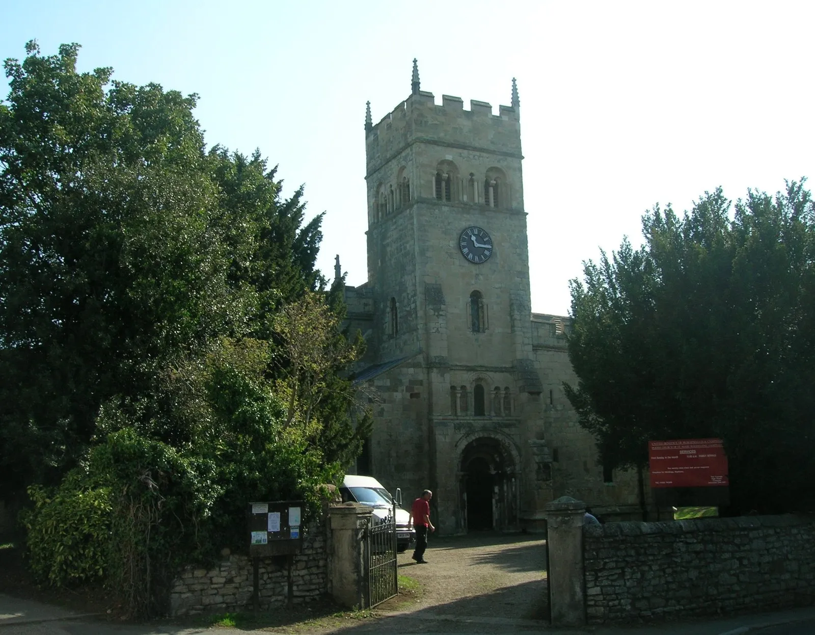
Hatfield WoodhouseVillageHatfield Woodhouse is a tranquil village famous for its beautiful woodlands and rural charm.
37 km
37 km
Finish: Stainforth City centerStainforth: Cycle through the stunning landscapes of Stainforth, South Yorkshire
Cycling routes nearby: