Cambuslang to Lennoxtown Loop
A road cycling route starting from Cambuslang
Discover the beauty of Scottish countryside from Cambuslang to Lennoxtown
Map
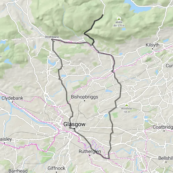
Embark on a captivating journey through the Scottish countryside, starting in Cambuslang and venturing towards Lennoxtown. This 68-kilometer route features charming villages, rolling hills, and magical landscapes. With a moderate ascent of 694 meters, this loop is suitable for cyclists of all levels. Make sure to take a moment and visit iconic highlights such as Lovers Leap and Gallow Hill along the way.
road
68 km
694 m
Chill
Route profile
Highlights on the route
0 km
0 km
Start: Cambuslang City centerCambuslang: Explore the scenic countryside and historic villages in Southern Scotland.
Cambuslang is a locality located in the Southern Scotland region of the United Kingdom. It offers a variety of cycling opportunities for both road and gravel cyclists. The area is known for its beautiful countryside and charming villages, which can be explored on scenic routes. One of the well-known cycling spots near Cambuslang is the Clyde Walkway, which follows the River Clyde and offers stunning views along the way. Overall, Cambuslang is a great locality for cyclists looking for a mix of natural beauty and cultural heritage.4 km
4 km
BridgetonSub-urbBridgeton, located 4 kilometers into the route, is a vibrant neighborhood that reflects the lively spirit of Glasgow. Ride through its bustling streets and soak in the energetic atmosphere.
7 km
7 km
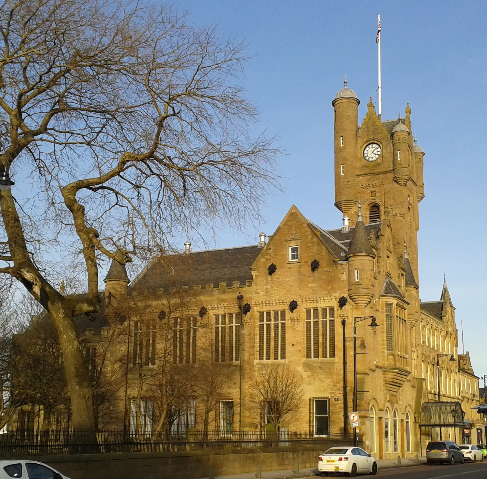
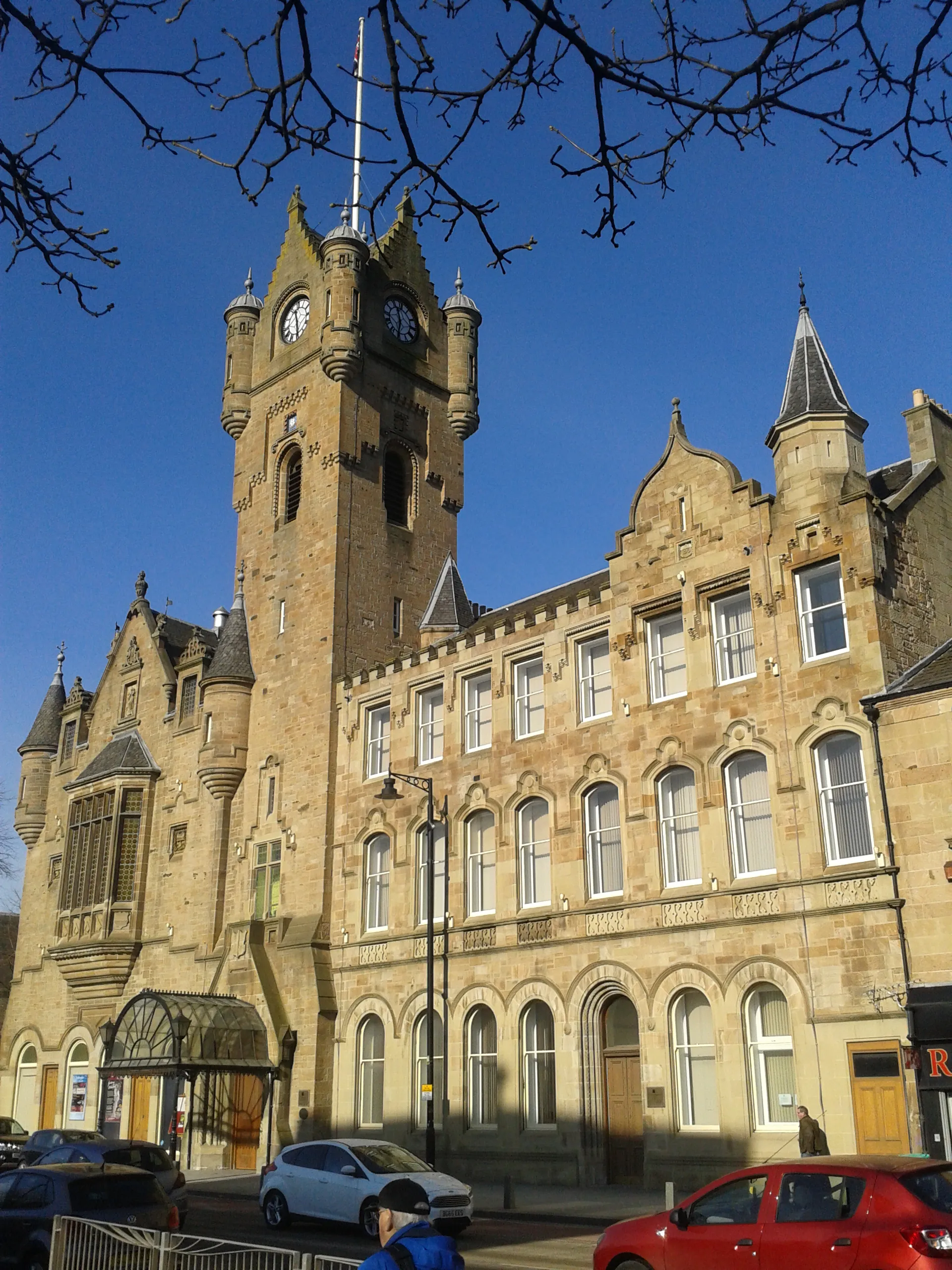
Mackintosh TowerViewpointMackintosh Tower, situated at the 7 kilometer mark, is an architectural masterpiece designed by renowned artist Charles Rennie Mackintosh. Take a moment to appreciate the intricate details and unique design of this exquisite tower.
19 km
19 km
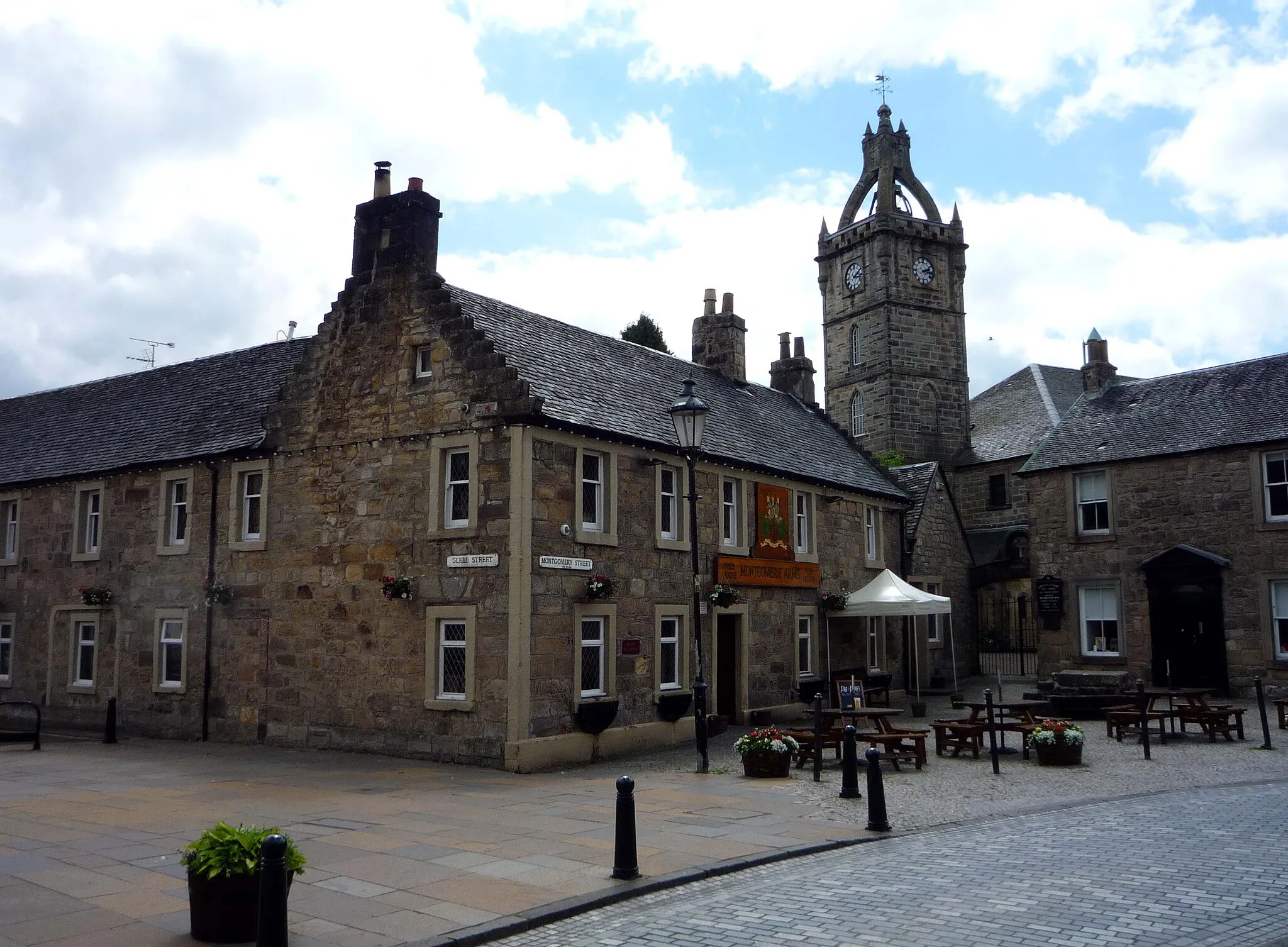
BaldernockHamletBaldernock, located 19 kilometers into the route, is a charming village known for its picturesque landscapes and friendly locals. Enjoy a leisurely ride through the village and experience its peaceful ambiance.
24 km
24 km
StrathblaneVillageStrathblane, a village situated at the 24 kilometer mark, offers stunning views of the Campsie Fells. Take a moment to pause here and admire the majestic beauty of the surrounding mountains.
28 km
28 km
Lovers LeapViewpointLovers Leap, situated at the 28 kilometer mark, is a vantage point that provides panoramic views of the surrounding Scottish countryside. With its romantic allure and breathtaking scenery, it's a highlight not to be missed.
45 km
45 km
LennoxtownTownLennoxtown, located at the 45 kilometer mark, serves as the final destination of this enchanting route. Immerse yourself in its rich history and vibrant culture while exploring the village's charming streets.
47 km
47 km
Gallow Hill56 mPeakGallow Hill, located 47 kilometers into the route, offers commanding views of the surrounding landscapes. Ascend to the hilltop and be rewarded with panoramic vistas that will leave you in awe.
57 km
57 km
Hornshill99 mPeak68 km
68 km
Finish: Cambuslang City centerCambuslang: Explore the scenic countryside and historic villages in Southern Scotland.
Cycling routes from Cambuslang:
Cathcart and Riverside Route Cambuslang and Surrounds Cycling Cultural Cycling Tour: Glasgow to Baldernock Cambuslang to Lennoxtown Loop Cambuslang to Bathgate Loop Cambuslang to Muirkirk Loop Cambuslang to Armadale Loop Moffat Hills Adventure Ride Scenic Tour of Cambuslang and Beyond The Southside Explorer
Cycling routes nearby: