Discover the scenic routes and charming villages of Rutherglen in Southern Scotland.
Cycling routes from Rutherglen
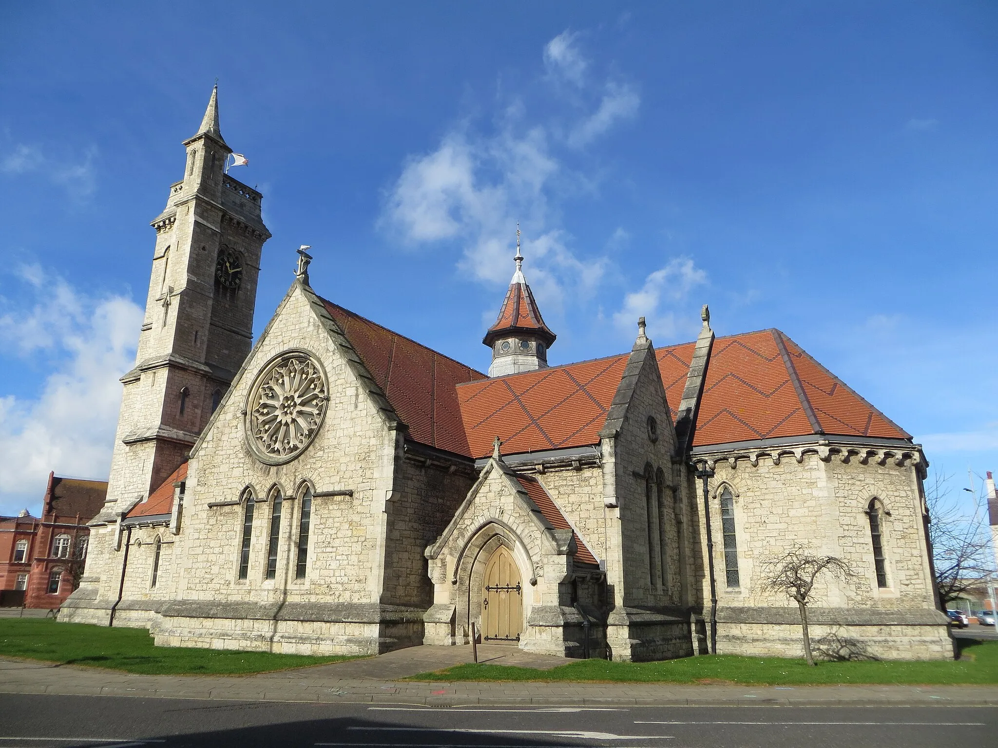
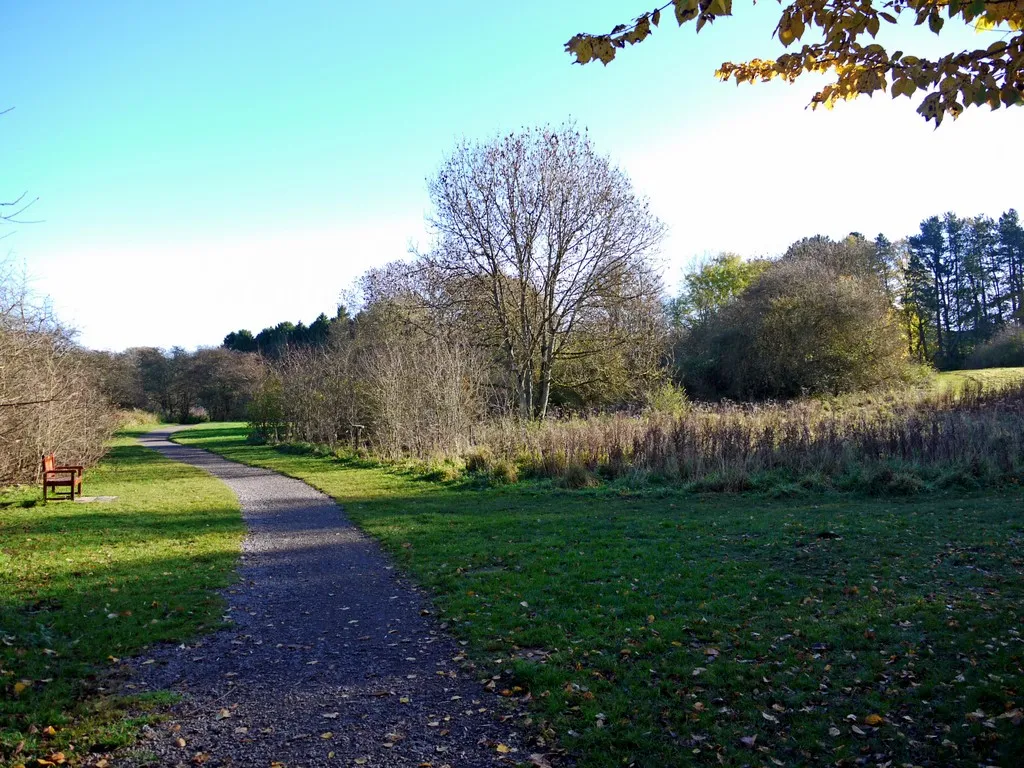
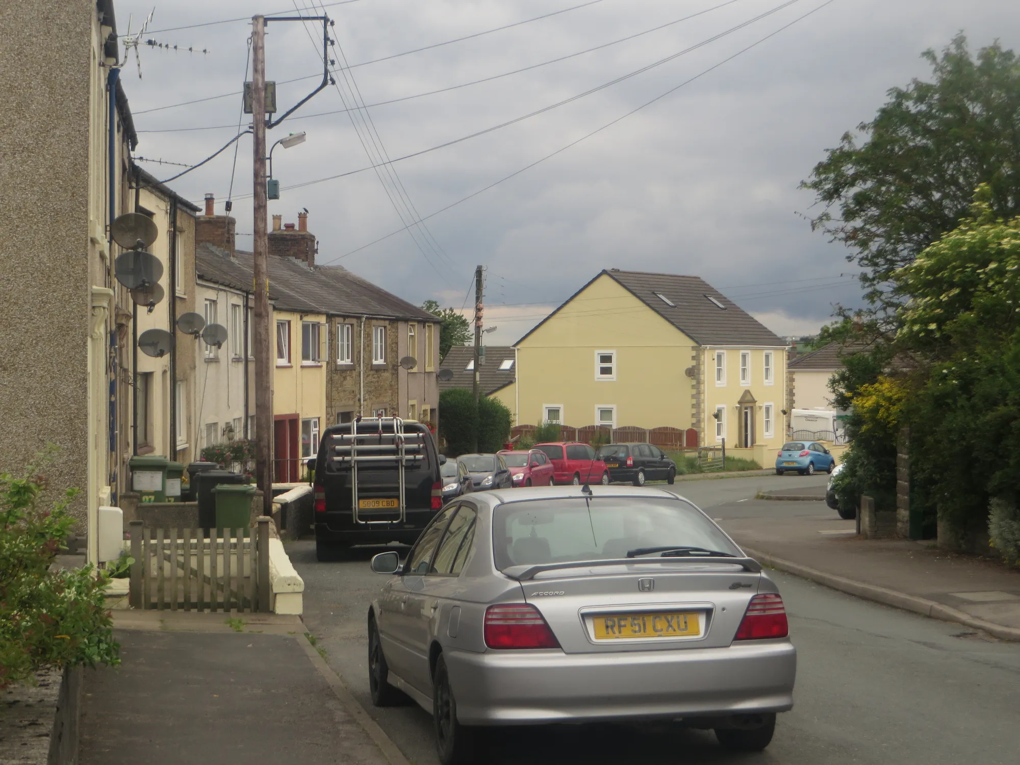
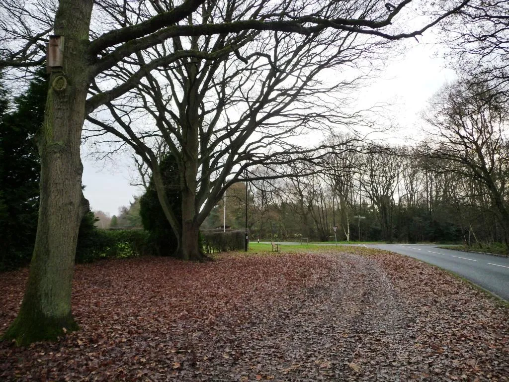
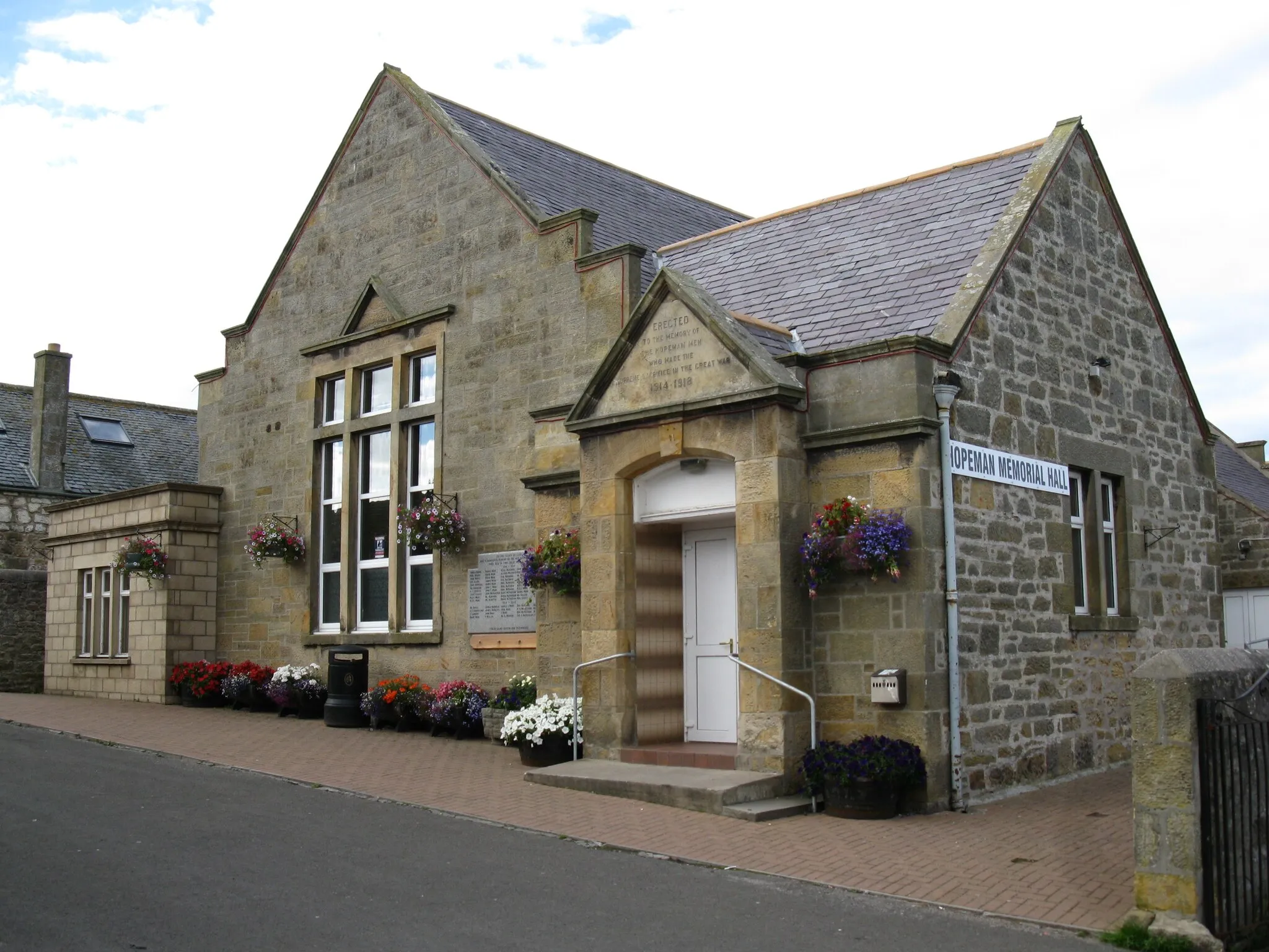
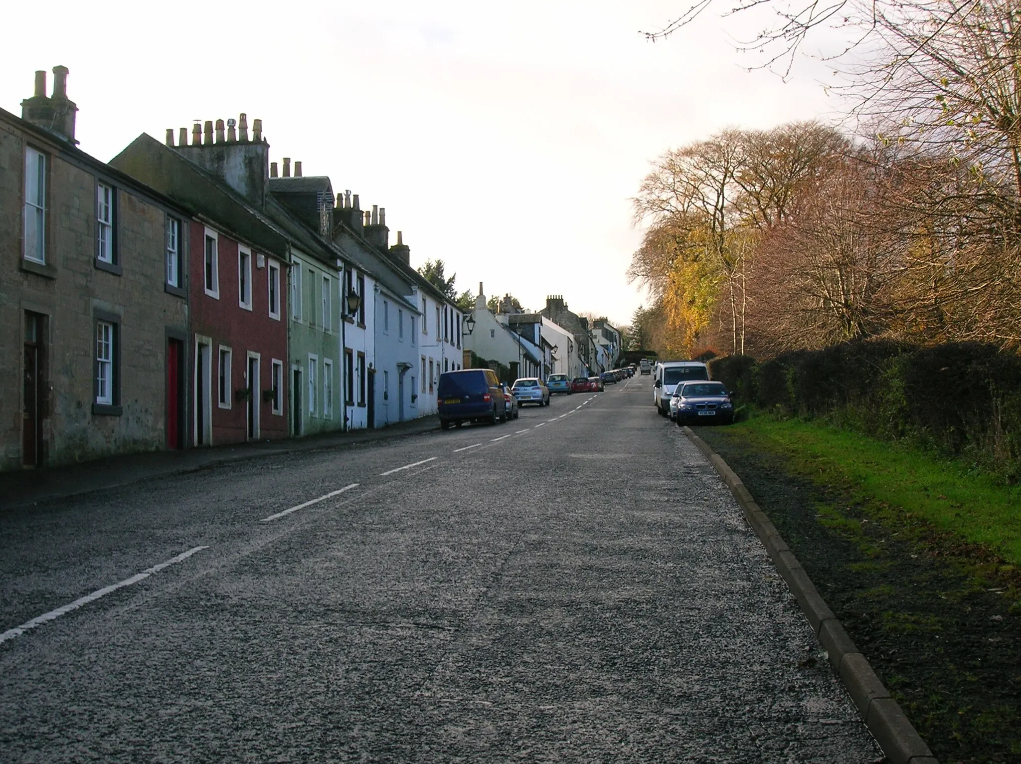
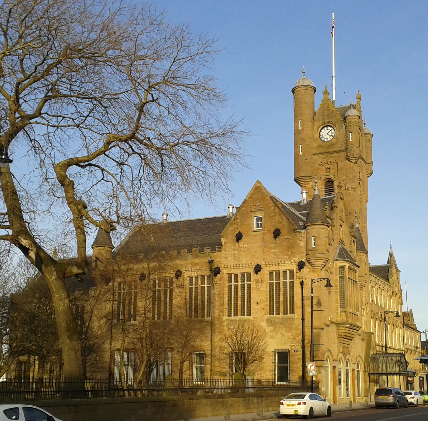
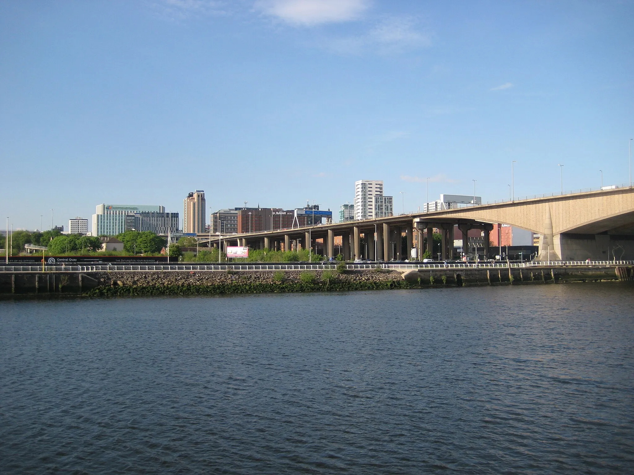
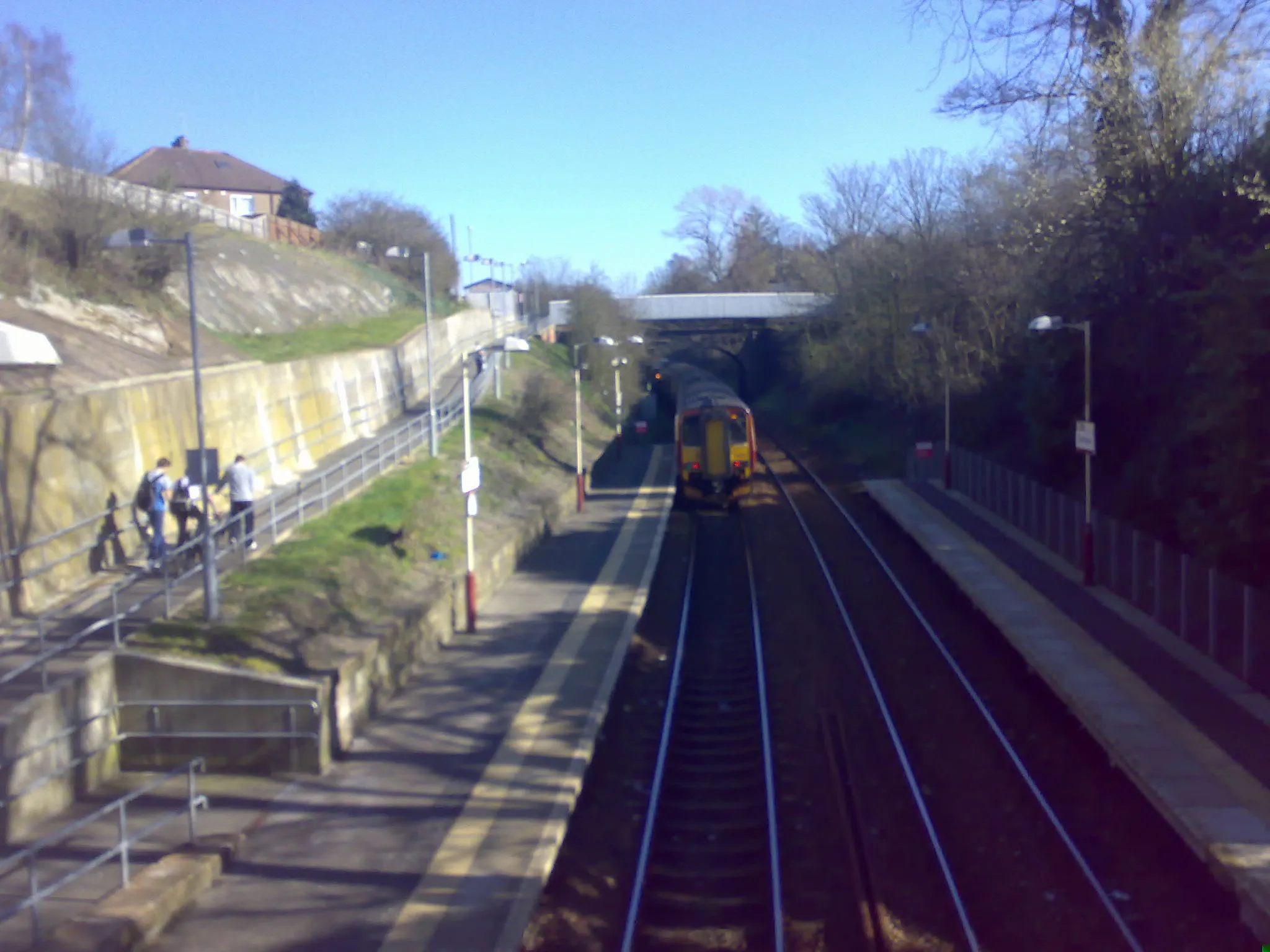
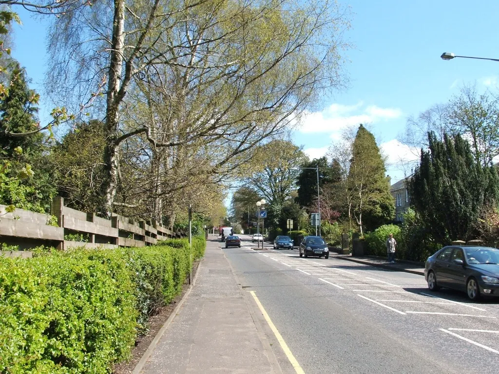
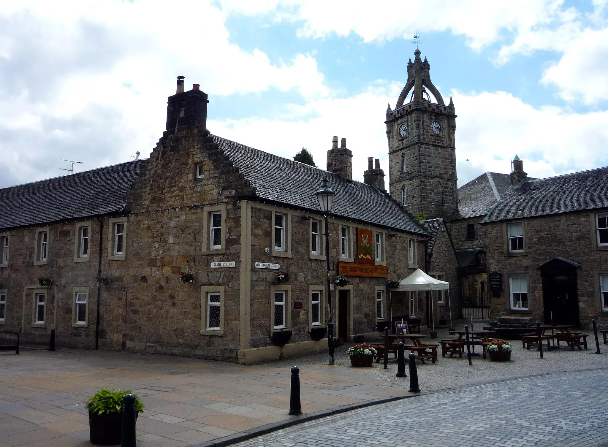
Rutherglen, located in Southern Scotland, offers a good cycling experience for road and gravel cyclists. The locality has several scenic routes with rolling hills and picturesque landscapes that are perfect for cycling. Cyclists can enjoy exploring the beautiful countryside and quaint villages in the region. One of the famous cycling spots nearby is Queen's Drive, a popular route known for its beautiful views of the surrounding countryside. With its mix of challenging climbs and smooth roads, Rutherglen offers a great cycling destination for all skill levels.
Scenic Route to Rutherglen

Experience the picturesque landscapes and charming villages on this road cycling route to Rutherglen.
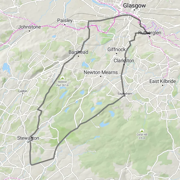
This round-trip cycling route starting near Rutherglen takes you through beautiful countryside and highlights some hidden gems. With a moderate difficulty level, it is suitable for well-trained amateurs. The route covers a distance of 86 km with a total ascent of 628 meters. Cycling enthusiasts will enjoy the impressive Netherlee, Aidans Brae Viewpoint, Neilston Pad, Lugton, Kilbarchan, Mackintosh Tower, and the historic town of Rutherglen.
Take on this challenging loop to Rutherglen, featuring epic climbs and breathtaking viewpoints.
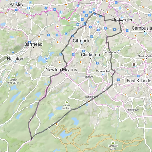
This road cycling route starting near Rutherglen is perfect for cyclists seeking a challenge. With a moderate difficulty level, the route covers 71 km with a total ascent of 628 meters. Highlights include Aidans Brae Viewpoint, Brown Hill, Fenwick, Neilston Pad, Neilston, Mackintosh Tower, and Rutherglen.
A moderate road cycling route with scenic highlights along the way.
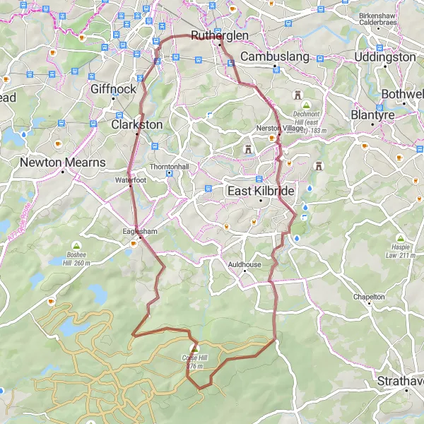
This round-trip cycling route starting near Rutherglen offers a moderate challenge for cyclists with beautiful landscapes and interesting stops along the way. Covering a distance of 48 kilometers and an ascent of 456 meters, this route is suitable for cyclists with some experience. The highlights of this route include Carmunnock, Eaglesham, Brown Hill, and Thornliebank. Carmunnock is a charming village with well-preserved stone cottages and a friendly atmosphere. Eaglesham is known for its historic architecture and its historic fair, which attracts visitors from all over. Brown Hill offers panoramic views of the surrounding landscapes, while Thornliebank is a bustling town with plenty of amenities for cyclists to relax and refuel. Overall, this route provides a great mix of scenic beauty and interesting stops, making it an enjoyable ride for cyclists.
Embark on an off-road cycling adventure to Rutherglen amidst stunning natural landscapes.
This gravel cycling route starting near Rutherglen offers a unique experience for cycling enthusiasts. With a moderate difficulty level, it spans a distance of 49 km with an ascent of 481 meters. Highlights of the route include the picturesque Kelvin River, Corse Hill, Aidans Brae Viewpoint, and a visit to the historic town of Rutherglen.

Embark on an exciting road cycling adventure through the northern Scottish countryside.
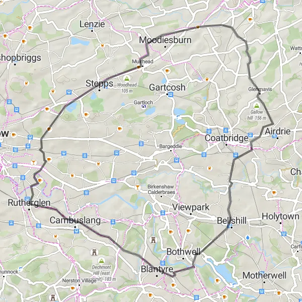
Covering a distance of 74km, this route takes you through breathtaking landscapes and challenging terrain. With an ascent of 560m, this route is suitable for experienced cyclists seeking a thrilling ride. Discover the beauty of Hornshill and the historic Bar Hill as you make your way towards Blantyre. As you reach Eastfield, take in the stunning vistas before heading back to Rutherglen.
Spectacular South Loop
Experience the stunning scenery on this circular road cycling route near Rutherglen.
This route takes you through some of the most picturesque landscapes in Southern Scotland. Enjoy the views of Woodhead and Summerhill as you tackle the moderate ascent. The 49km distance is perfect for a day trip, providing a challenging yet rewarding experience for well-trained amateur cyclists.
A scenic road cycling route with moderate difficulty and picturesque highlights along the way.
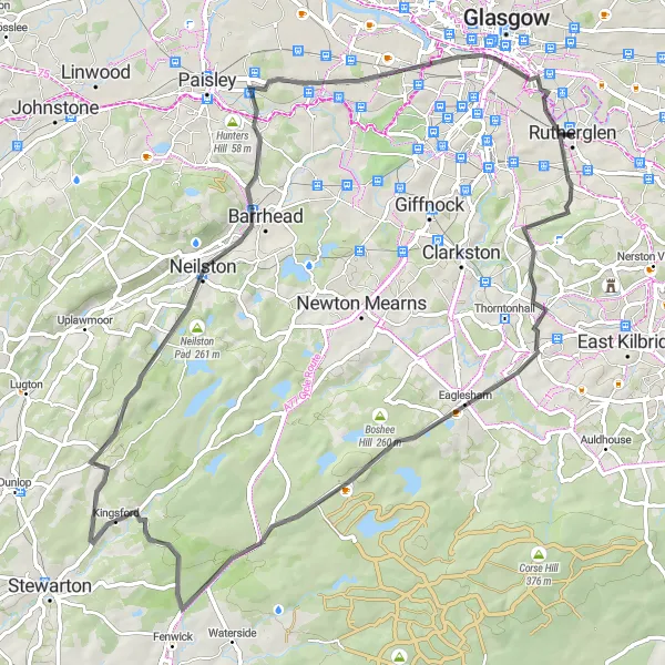
This round-trip cycling route starting near Rutherglen offers a combination of scenic beauty and moderate challenges for cyclists. Covering a distance of 67 kilometers with an ascent of 608 meters, this route is suitable for intermediate-level riders. The highlights of the route include Carmunnock, Eaglesham, Kingsford, and Neilston, each offering unique views of the surrounding landscapes and interesting stops along the way. Carmunnock is a picturesque village with well-preserved stone cottages and charming streets to explore. Eaglesham is known for its historic architecture and historic fair, while Kingsford offers panoramic views from its high point. Neilston is a vibrant town with a bustling marketplace and plenty of amenities for cyclists to relax and refuel. Overall, this route provides a mix of scenic beauty and moderate challenges, making it an enjoyable ride for cyclists of varying skill levels.

A challenging road cycling route with a great mix of flat terrain and hilly sections.
This round-trip cycling route starting near Rutherglen is a challenging and exciting ride for experienced cyclists. The route covers a distance of 121 kilometers and includes a total ascent of 1,287 meters. The highlight of this route is the climb up Duncarnock, also known as The Craigie, offering stunning views of the surrounding countryside. Another highlight is the Brisbane Observatory, where cyclists can take a break and observe the night sky. Other picturesque spots along the route include Netherlee, Uplawmoor, and Kilbirnie. Overall, this route provides a great mix of scenic landscapes and challenging climbs, making it a favorite among cycling enthusiasts.

A challenging road cycling route with diverse highlights along the way.
This round-trip cycling route starting near Rutherglen offers a challenging and diverse experience for cyclists. With a distance of 114 kilometers and an ascent of 1,336 meters, this route is only recommended for well-trained amateurs. The highlights of this route include Broom Hill, Bishopbriggs, Gallow Hill, Lennoxtown, Dungoil, Fintry, Cambusbarron, Tak Ma Doon Road Viewing and Picnic Area, Dullatur, Summerhill, Tannochside, and Cambuslang. Each highlight provides cyclists with unique experiences, from challenging hill climbs to panoramic views and tranquil picnic spots. This route is an epic adventure for experienced cyclists looking for a comprehensive cycling experience.
Gravel Adventure

Embark on a thrilling gravel cycling adventure, exploring the rugged beauty near Rutherglen.
This 61km gravel route takes you off the beaten path, providing a unique cycling experience. With an ascent of 643m, this challenging trail is perfect for adventurous cyclists looking for an adrenaline rush. Marvel at the Shawfield area as you begin your journey, then discover the historic Mackintosh Tower and enjoy the scenic views from Faifley. End your ride in Rutherglen, reflecting on the rugged beauty of the landscape you conquered.
Cycling routes nearby:


Nearby regions: