Rolling hills, beautiful views, and a historic atmosphere in West Central Scotland.
Cycling routes from Busby
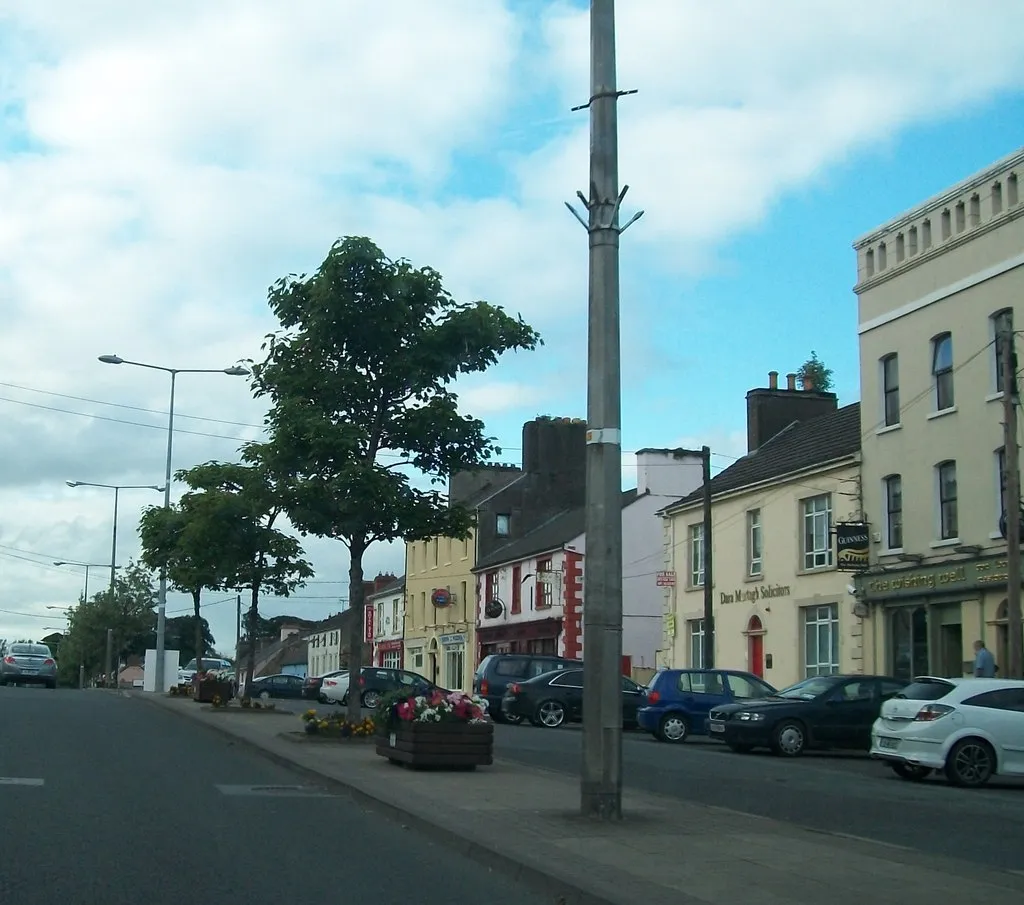
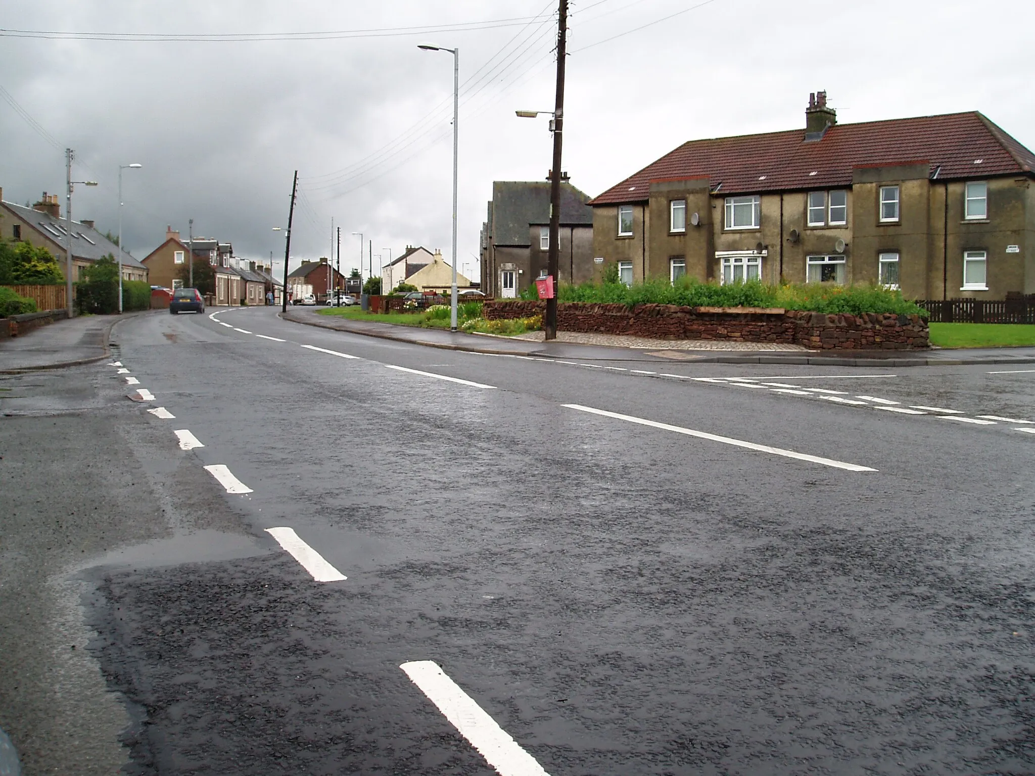
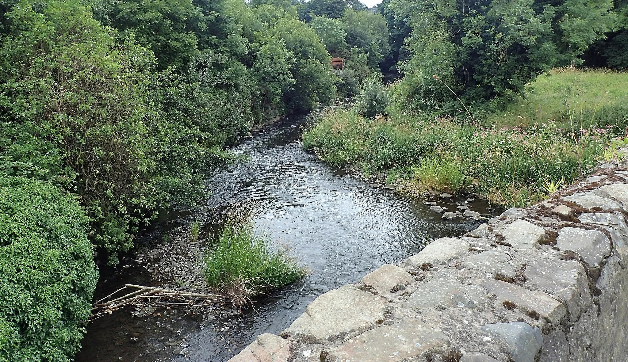
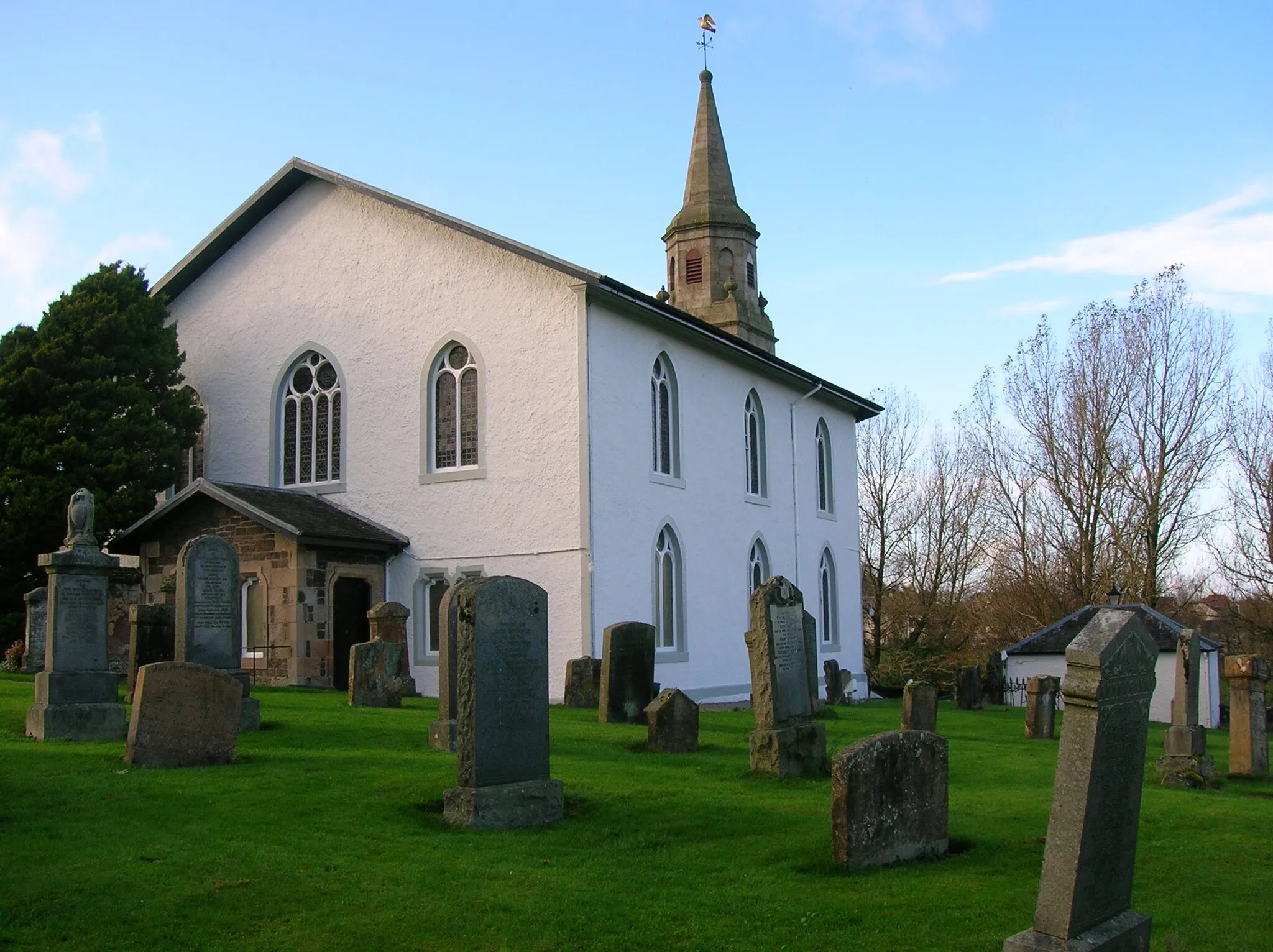
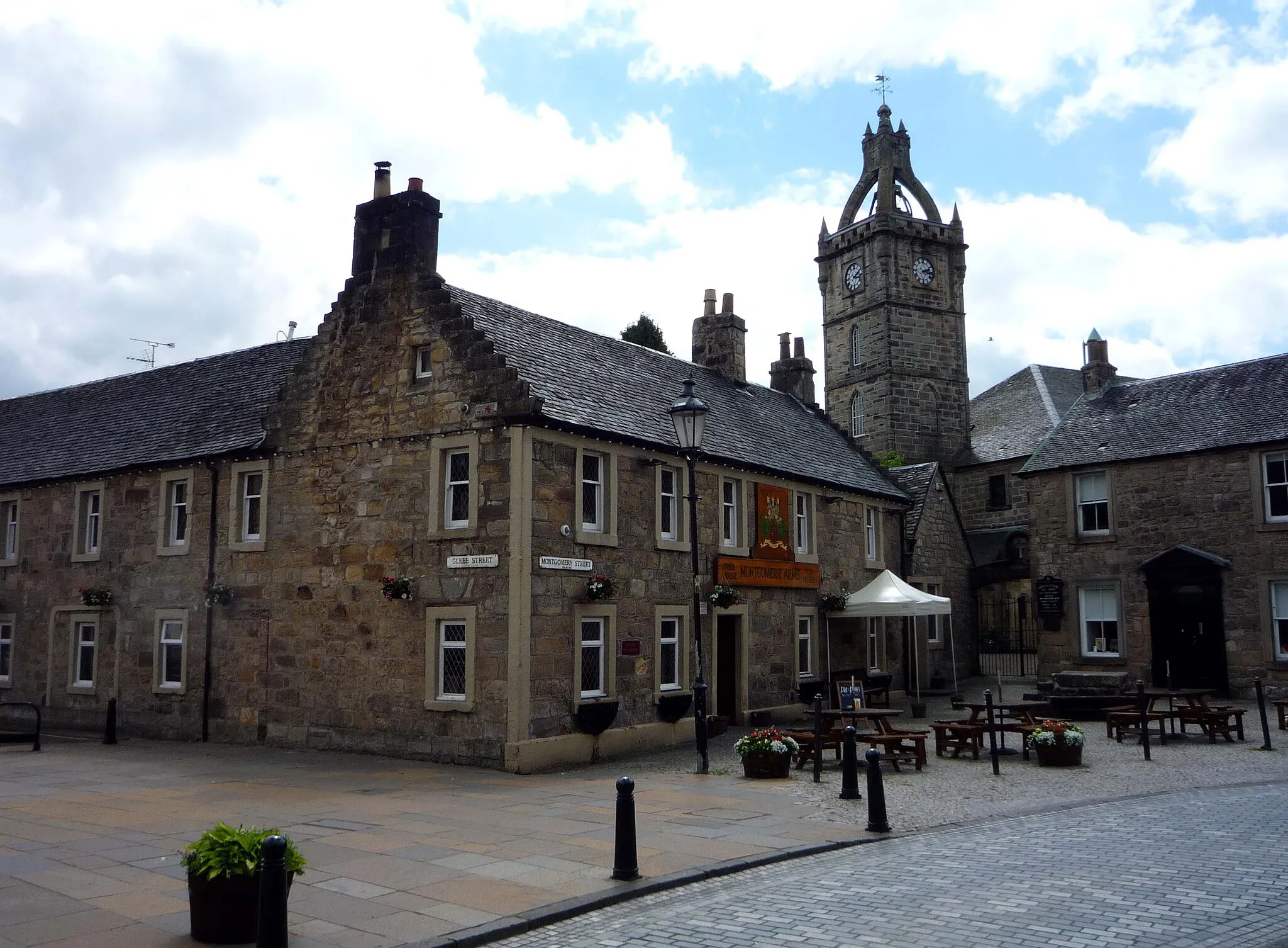
Busby is located in the West Central Scotland region of the United Kingdom. As an entry point to the beautiful Clyde Valley, Busby offers a range of road cycling routes with rolling hills and scenic countryside. Nearby, cyclists can explore the iconic climb of Tinto Hill, known for its stunning views and challenging gradients. The surrounding area also boasts numerous historic sites, including the ruins of Bothwell Castle. For cyclists looking to combine their rides with visits to historical attractions, Busby is an ideal locality with a variety of routes and points of interest.
Croft Head Loop
Experience the thrill of cycling through challenging terrains in the Croft Head Loop.
The Croft Head Loop is a road cycling route with a distance of 86 kilometers and an ascent of 811 meters. This route is suitable for experienced cyclists who enjoy challenging terrains and steep climbs. Starting near Busby, the route takes you through Busby, Croft Head, Lucken Hill, Cant Hills, Carfin, East Kilbride, and finally back to Aidans Brae Viewpoint. The difficulty level of this route is high, with demanding ascents and descents. The highlights of this route include Busby, a charming village with a rich history; Croft Head, a challenging climb that rewards you with stunning views of the surrounding countryside; and Aidans Brae Viewpoint, offering panoramic views of the area. This route guarantees an exciting and rewarding cycling experience.

Embark on an adventurous road cycling journey near Busby, passing by Carmunnock and Muirkirk.
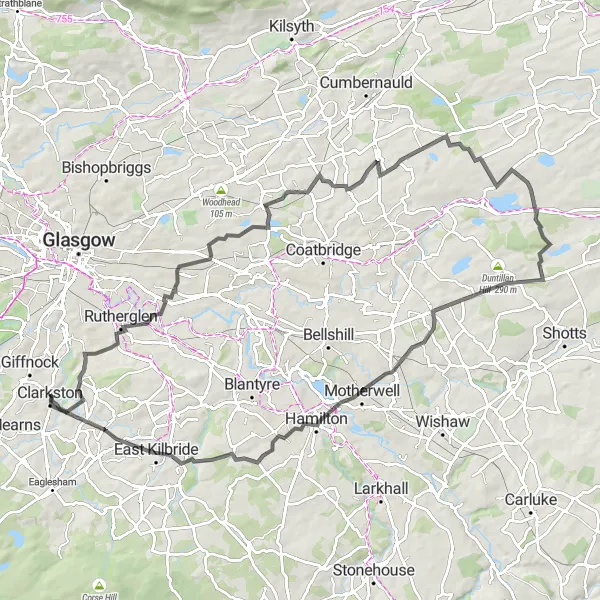
Prepare for an adventurous road cycling journey near Busby, taking in the beautiful scenery and historical landmarks along the way. With a total ascent of 1014 meters and a distance of 104 kilometers, this route is suitable for experienced cyclists seeking a challenge. Highlights along the route include Carmunnock, a charming village with picturesque streets and a historic church, Haspie Law, a hill offering panoramic views of the surrounding countryside, Strathaven Castle, a majestic fortress with a rich history, and Muirkirk, a bustling town known for its vibrant atmosphere and friendly locals. Overall, this route combines challenging climbs, scenic landscapes, and interesting cultural highlights.
Hill Of Chryston Loop
Embark on an adventurous journey through the picturesque landscapes of Hill Of Chryston.
The Hill Of Chryston Loop is a road cycling route that covers 71 kilometers with an ascent of 632 meters. This route is suitable for moderately experienced cyclists who enjoy a mix of challenging and leisurely sections. Starting near Busby, the route takes you through Aidans Brae Viewpoint, Crossmyloof, Torrance, Gallow Hill, Hill Of Chryston, and finally back to Busby. The overall difficulty level of this route is moderate. The highlights of this route include Aidans Brae Viewpoint, offering panoramic views of the surrounding landscape; Crossmyloof, a small village with a friendly atmosphere; and Busby, a charming village with historic attractions. This route allows you to experience the beauty of the countryside and enjoy a peaceful cycling adventure.
Immerse yourself in the stunning natural beauty of Busby on this road cycling adventure.
Discover the breathtaking natural beauty of Busby on this road cycling adventure. With a total ascent of 439 meters and a distance of 57 kilometers, this route is suitable for cyclists of all levels. Highlights along the way include Aidans Brae Viewpoint, offering stunning panoramic views of the surrounding countryside, Maryhill, a charming village with traditional Scottish architecture, Hornshill, a medieval castle worth exploring, and Thorntonhall, a quaint village with picturesque landscapes. Overall, this route provides an opportunity to experience the stunning natural beauty and cultural highlights of Busby.
The Broomhouse Circuit
Explore the stunning countryside around Busby on this challenging road cycling route.
This scenic road cycling route takes you through the picturesque countryside near Busby. With a total ascent of 1069 meters and a distance of 117 kilometers, it is a challenging ride suitable for well-trained amateurs. Highlights along the route include Broomhouse, a charming village with beautiful scenic views, Bartons Hill, a short climb offering panoramic vistas, Stank Brae, a steep ascent leading to breathtaking views of the surrounding countryside, and Douglas Water, a tranquil spot ideal for a rest stop. Overall, this route offers a mix of challenging climbs, scenic landscapes, and interesting highlights.
Experience the breathtaking landscape of Busby on this road cycling circuit, passing by Glenmavis and Law.
Immerse yourself in the breathtaking landscape of Busby on this exhilarating road cycling circuit. With a total ascent of 989 meters and a distance of 94 kilometers, this route offers a rewarding challenge for cyclists. Highlights along the way include Glenmavis, a quaint village with scenic views and historic charm, Gallow Hill, boasting panoramic vistas of the surrounding countryside, Cant Hills, featuring ancient burial mounds and a sense of mystery, Hartwood, a picturesque location with scenic trails and abundant wildlife. Overall, this route combines challenging climbs, scenic landscapes, and interesting historical and natural highlights.
Largs Adventure

Embark on an epic cycling adventure through the stunning landscapes of Largs.
The Largs Adventure is a road cycling route with a distance of 116 kilometers and an ascent of 1175 meters. This route is recommended for experienced cyclists due to its challenging nature. Starting near Busby, the route takes you through Aidans Brae Viewpoint, Kingsford, Kilbirnie, Brown Hill, Largs, Colaouse Hill, Bishopton, and finally Clarkston. The overall difficulty level of this route is high, with several steep ascents and descents. The highlights of this route include Aidans Brae Viewpoint, offering panoramic views of the surrounding landscape; Kilbirnie, a historic town with interesting landmarks and a rich heritage; and Clarkston, a lively town with vibrant streets and a variety of shops and restaurants. This route allows you to explore the beautiful landscapes of Largs and experience the thrill of an epic cycling adventure.

Embark on an adventurous road cycling journey near Busby, passing by The Tur Viewing Platform and Shotts.
Get ready for an exhilarating road cycling journey near Busby. With a total ascent of 1160 meters and a distance of 111 kilometers, this route is sure to challenge even the most experienced cyclists. Highlights along the way include The Tur Viewing Platform, where you can take in breathtaking panoramic views of the surrounding countryside, Bartons Hill, a short but thrilling climb offering stunning vistas, Cant Hills, a unique landscape featuring ancient burial mounds, and Shotts, a vibrant town known for its warm hospitality. Overall, this route offers a mix of challenging ascents, beautiful scenery, and interesting highlights.
Eaglesham Loop
Embark on a challenging adventure through the beautiful countryside of Eaglesham.
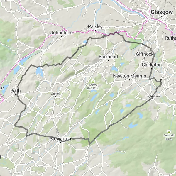
The Eaglesham Loop is a road cycling route with a distance of 79 kilometers and an ascent of 721 meters. This route is suitable for experienced cyclists who are looking for a more challenging ride. It starts near Busby and takes you through Eaglesham, Brown Hill, Stewarton, Barrmill, and Thornly Park. The difficulty level of this route is high, with steep climbs and challenging terrain. The route offers breathtaking scenery and a chance to explore the picturesque countryside of Eaglesham. Highlights include Eaglesham, a charming village with historic buildings and scenic landscapes; Brown Hill, where you can test your climbing skills on its steep ascent; and Aidans Brae Viewpoint, offering stunning panoramic views of the surrounding area.
Gleniffer Braes Circular

Roll through the stunning Gleniffer Braes and enjoy panoramic views of paisley and beyond.
The Gleniffer Braes Circular route takes you through picturesque landscapes and provides breathtaking views of Paisley and its surrounding areas. With a distance of 67 kilometers and an ascent of 661 meters, this road cycling route is perfect for very well-trained amateurs. The route starts near Busby and passes through Kingsford, Lugton, Beith, Foxbar, and finally reaches the Gleniffer Braes. The difficulty level of this route is moderate. It offers a great mix of challenging sections and easier cruising roads. The highlights of this route include Busby, a charming village with a rich history; Kingsford, where you can enjoy a quiet ride through scenic countryside; and Aidans Brae Viewpoint, offering stunning panoramic views of the surrounding landscape. Aidans Brae Viewpoint is a must-stop spot for cyclists and is definitely worth the climb.
Cycling routes nearby:


Nearby regions: