The Tur and Shotts Loop
A road cycling route starting from Busby
Embark on an adventurous road cycling journey near Busby, passing by The Tur Viewing Platform and Shotts.
Map

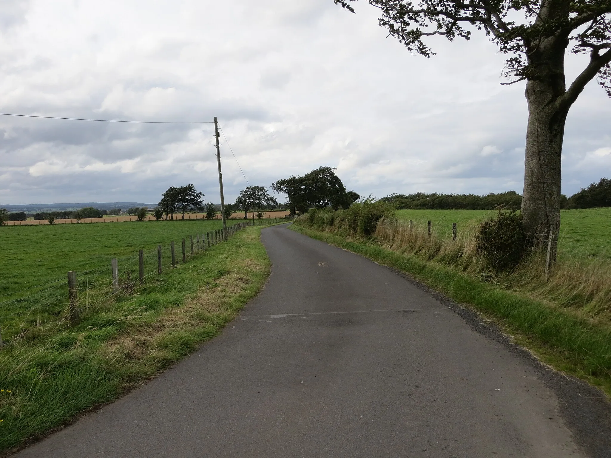
Get ready for an exhilarating road cycling journey near Busby. With a total ascent of 1160 meters and a distance of 111 kilometers, this route is sure to challenge even the most experienced cyclists. Highlights along the way include The Tur Viewing Platform, where you can take in breathtaking panoramic views of the surrounding countryside, Bartons Hill, a short but thrilling climb offering stunning vistas, Cant Hills, a unique landscape featuring ancient burial mounds, and Shotts, a vibrant town known for its warm hospitality. Overall, this route offers a mix of challenging ascents, beautiful scenery, and interesting highlights.
road
111 km
1160 m
Tough
Route profile
Highlights on the route
0 km
0 km
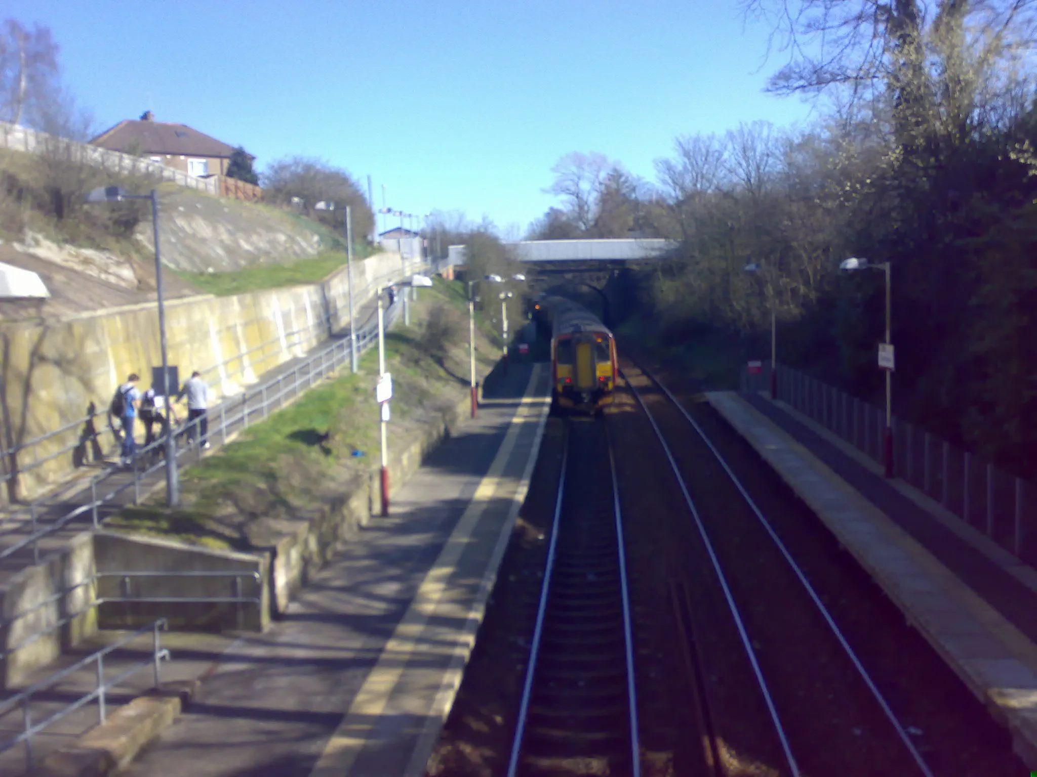
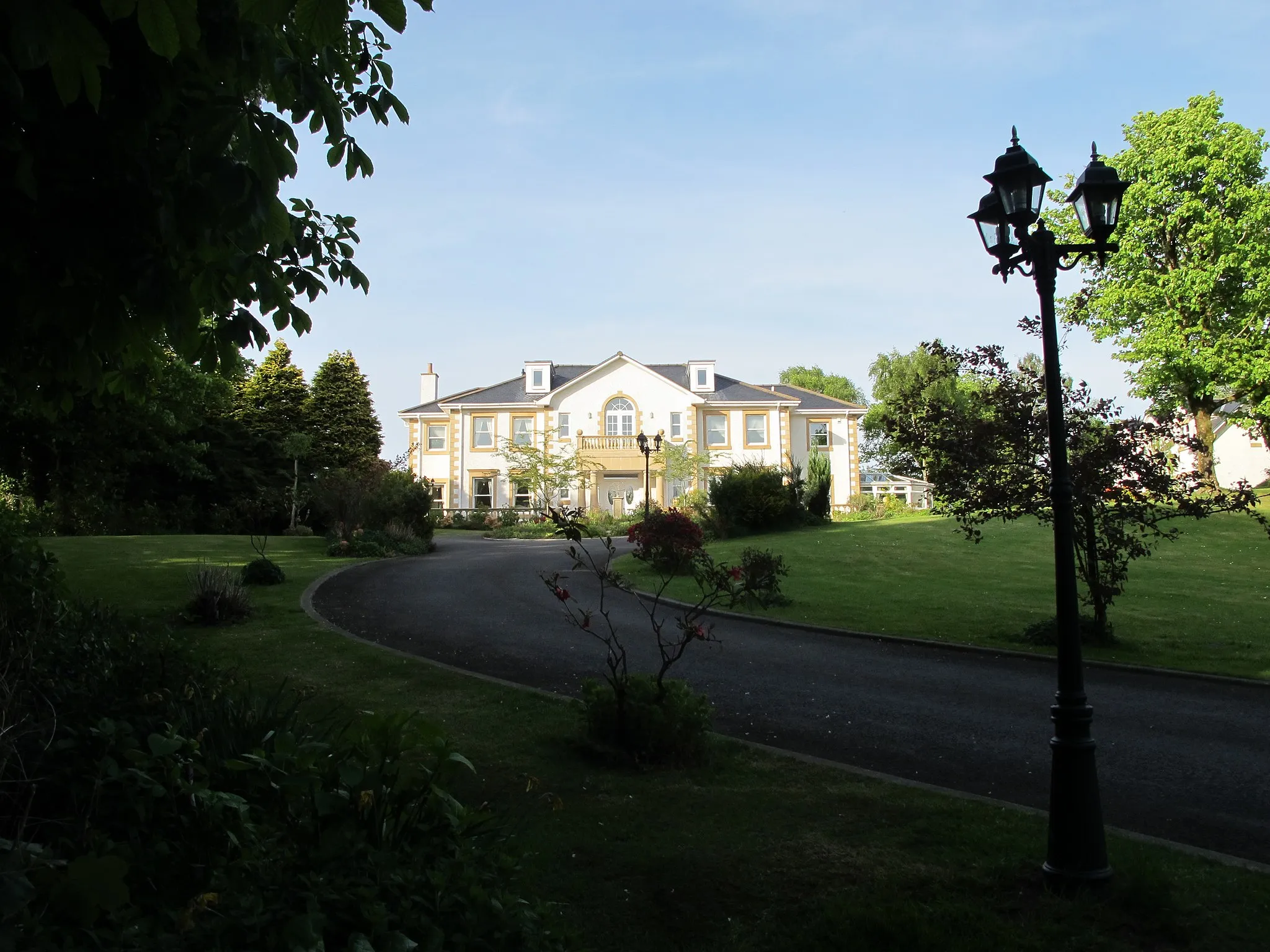
Start: Waterfoot Village centerBusby: Rolling hills, beautiful views, and a historic atmosphere in West Central Scotland.
Busby is located in the West Central Scotland region of the United Kingdom. As an entry point to the beautiful Clyde Valley, Busby offers a range of road cycling routes with rolling hills and scenic countryside. Nearby, cyclists can explore the iconic climb of Tinto Hill, known for its stunning views and challenging gradients. The surrounding area also boasts numerous historic sites, including the ruins of Bothwell Castle. For cyclists looking to combine their rides with visits to historical attractions, Busby is an ideal locality with a variety of routes and points of interest.13 km
13 km
The Tur Viewing PlatformViewpointThe Tur Viewing Platform offers sweeping panoramic views of the surrounding countryside, including stunning vistas of the nearby lakes and reservoirs. Take a moment to soak in the beauty of nature before continuing your ride.
22 km
22 km
Bartons Hill86 mPeakBartons Hill is a short but exhilarating climb that rewards cyclists with breathtaking vistas. Enjoy a moment of triumph at the top and savor the panoramic views before descending back down.
42 km
42 km
Cant Hills301 mPeakCant Hills is a unique landscape dotted with ancient burial mounds. Ride through this historically significant site and imagine the stories and legends associated with this fascinating area.
45 km
45 km
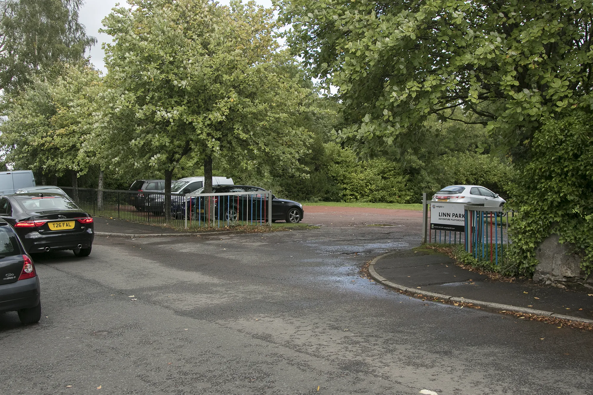
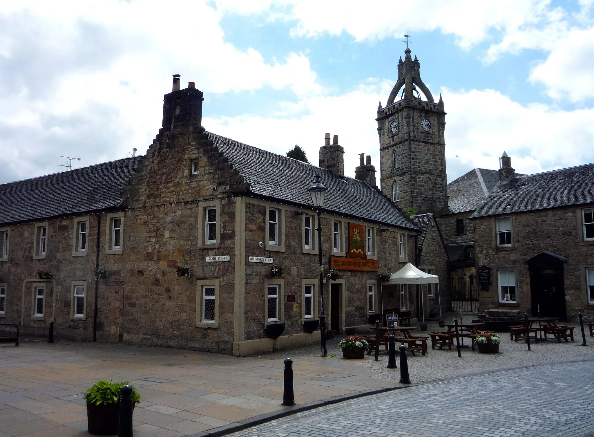
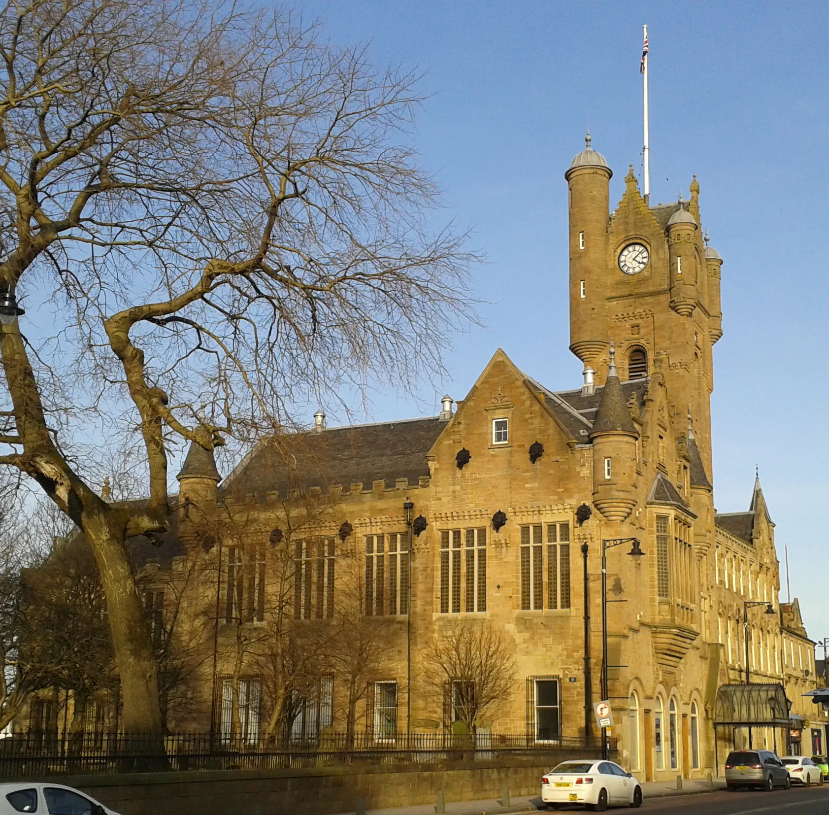
ShottsTownShotts is a vibrant town with a rich industrial heritage. Stop for a hearty meal or explore the local attractions, including beautiful parks, historic sites, and charming boutiques.
74 km
74 km
AuchenheathVillageAuchenheath is a small village with a laid-back atmosphere and friendly locals. Take a moment to chat with the residents and learn about their way of life while enjoying the scenic surroundings.
82 km
82 km
Greer Hill242 mPeakGreer Hill offers spectacular views of the surrounding landscape, making it an ideal spot to pause and admire the natural beauty before continuing your ride.
102 km
102 km
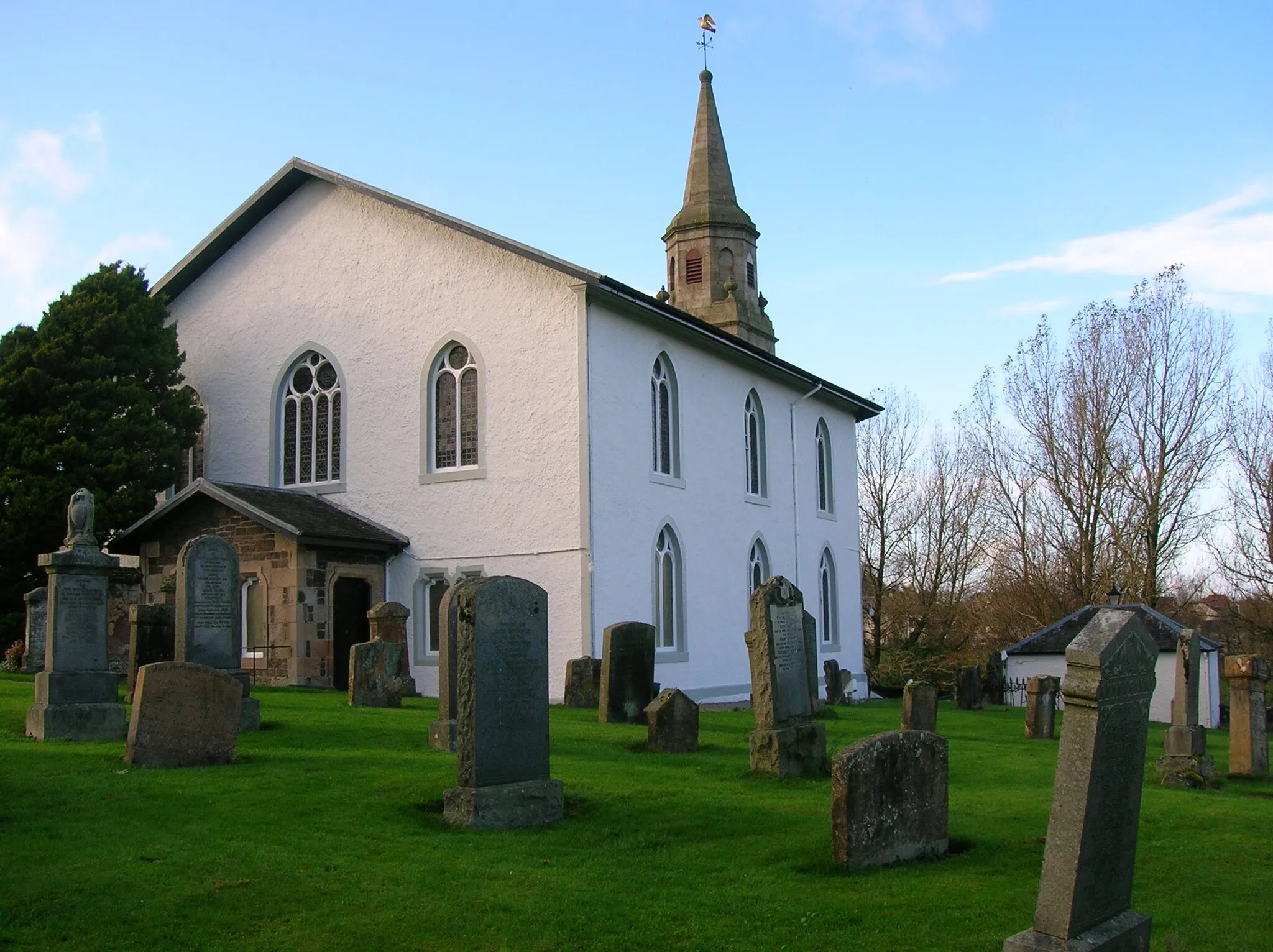
AuldhouseVillageAuldhouse is a charming village with picturesque streets and historical landmarks. Take a leisurely stroll through the village center and discover the hidden treasures it has to offer.
111 km
111 km
Finish: Waterfoot Village centerBusby: Rolling hills, beautiful views, and a historic atmosphere in West Central Scotland.
Cycling routes nearby: