Uncover the natural and cultural wonders of Thornliebank through exhilarating cycling routes.
Cycling routes from Thornliebank
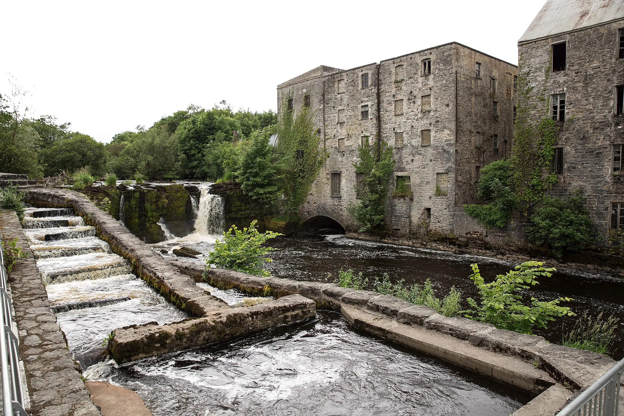
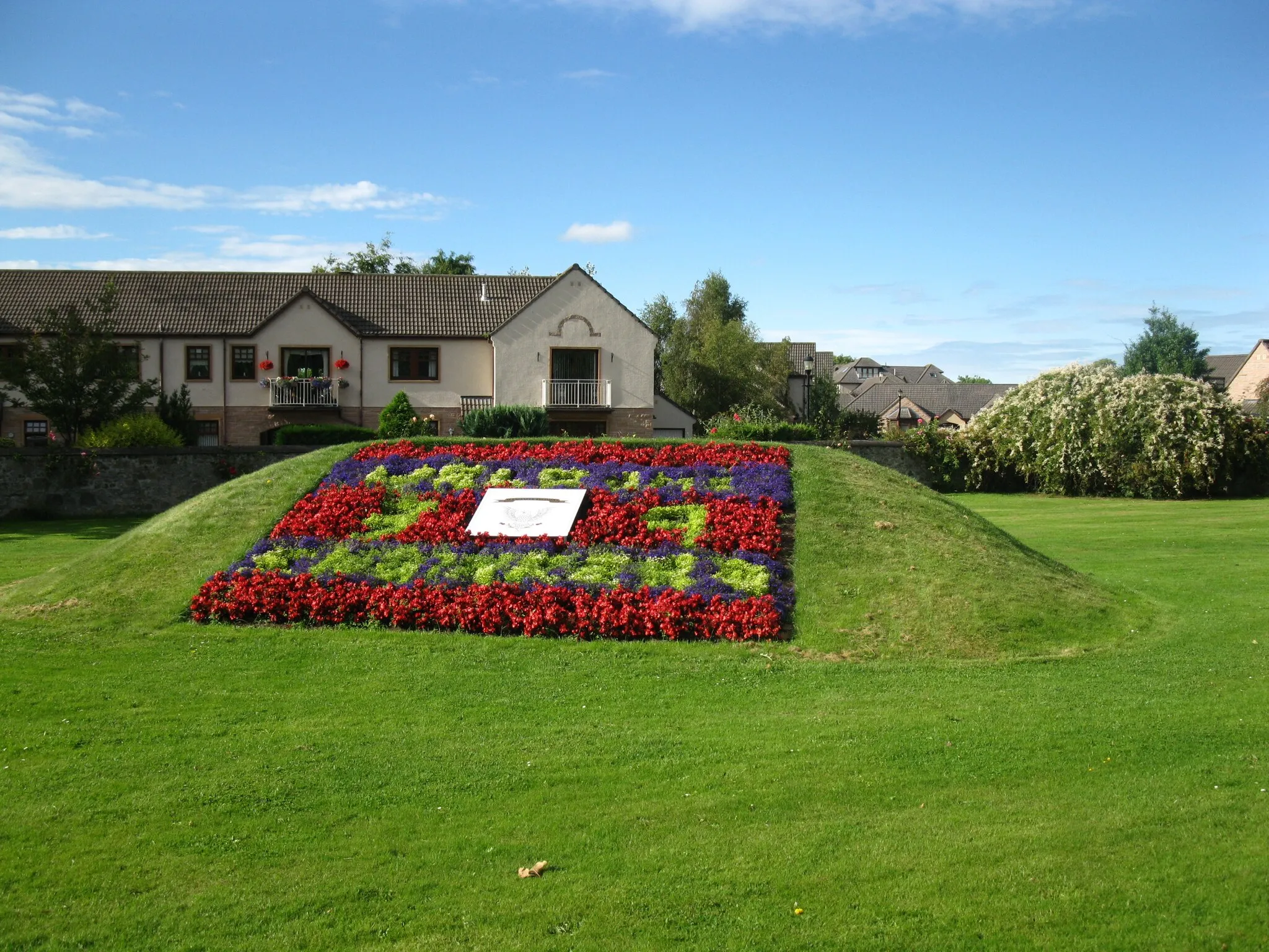
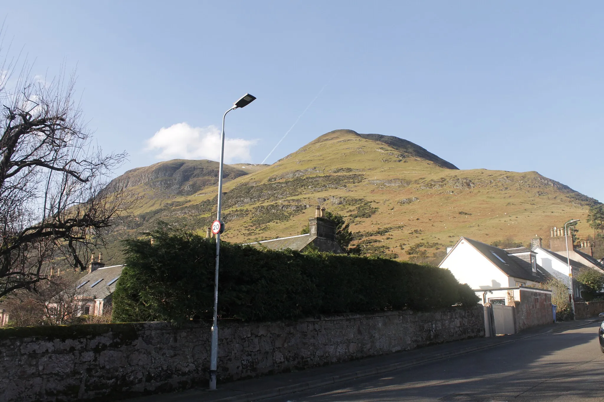
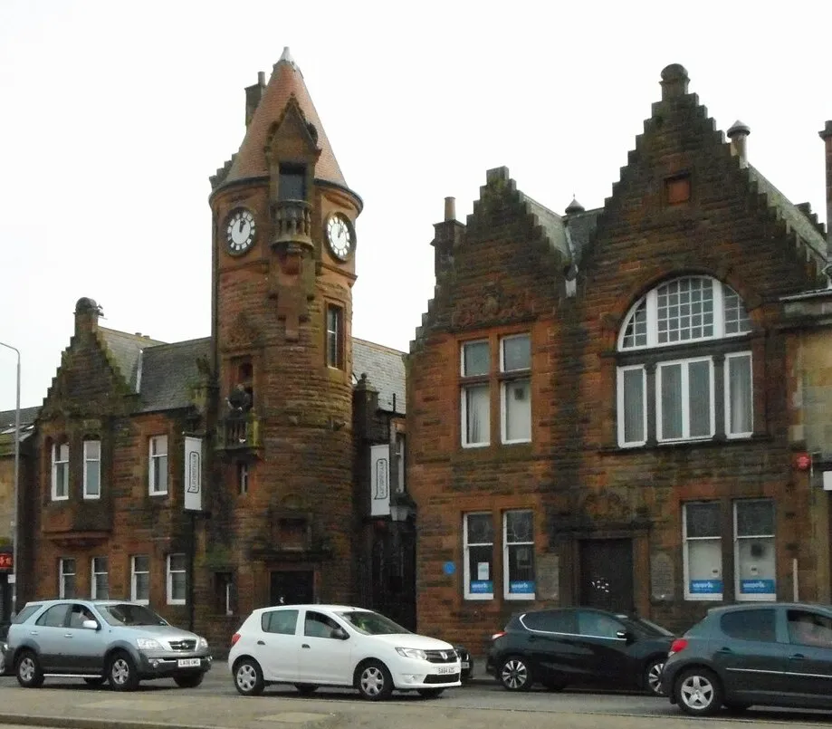
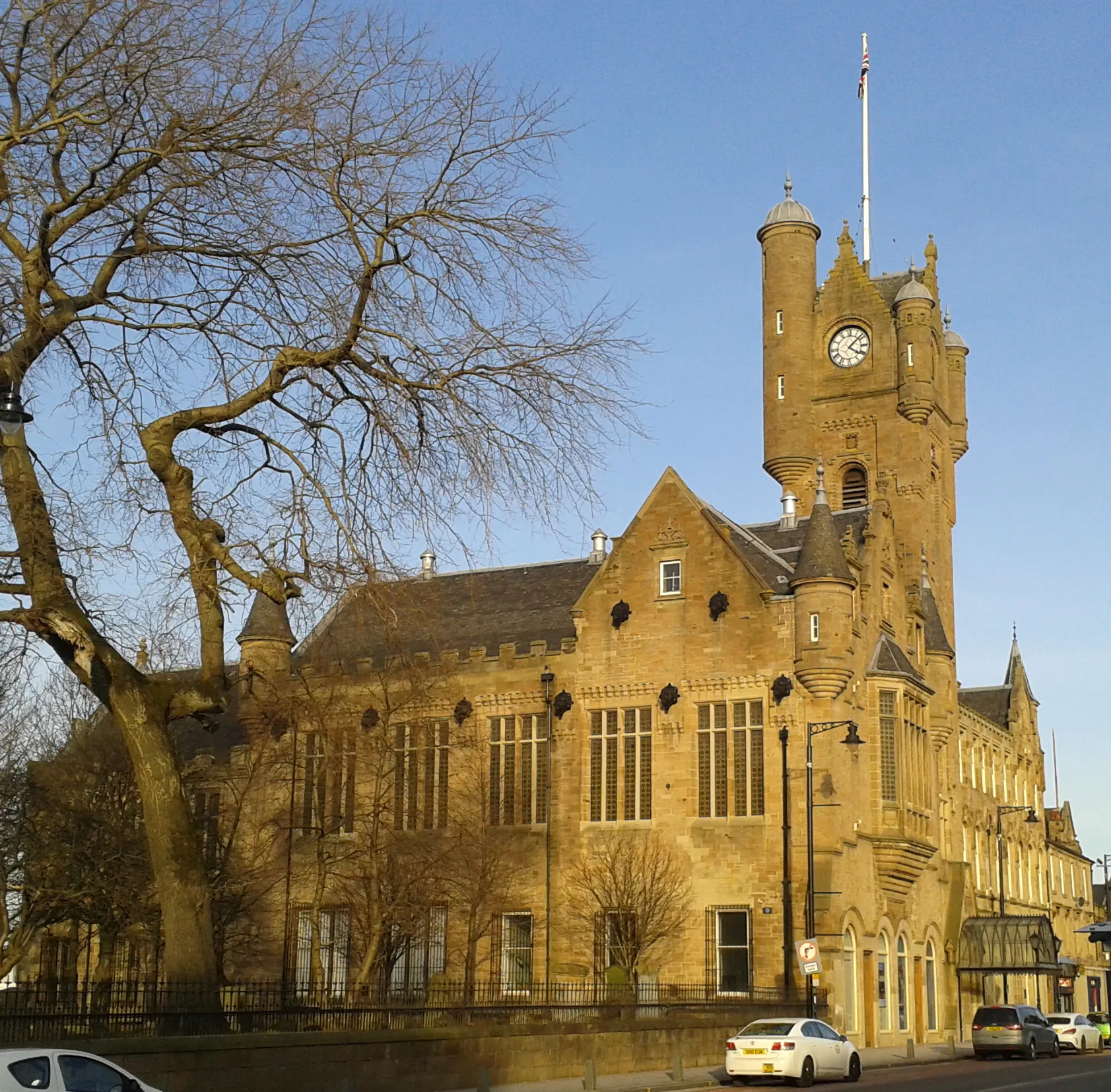
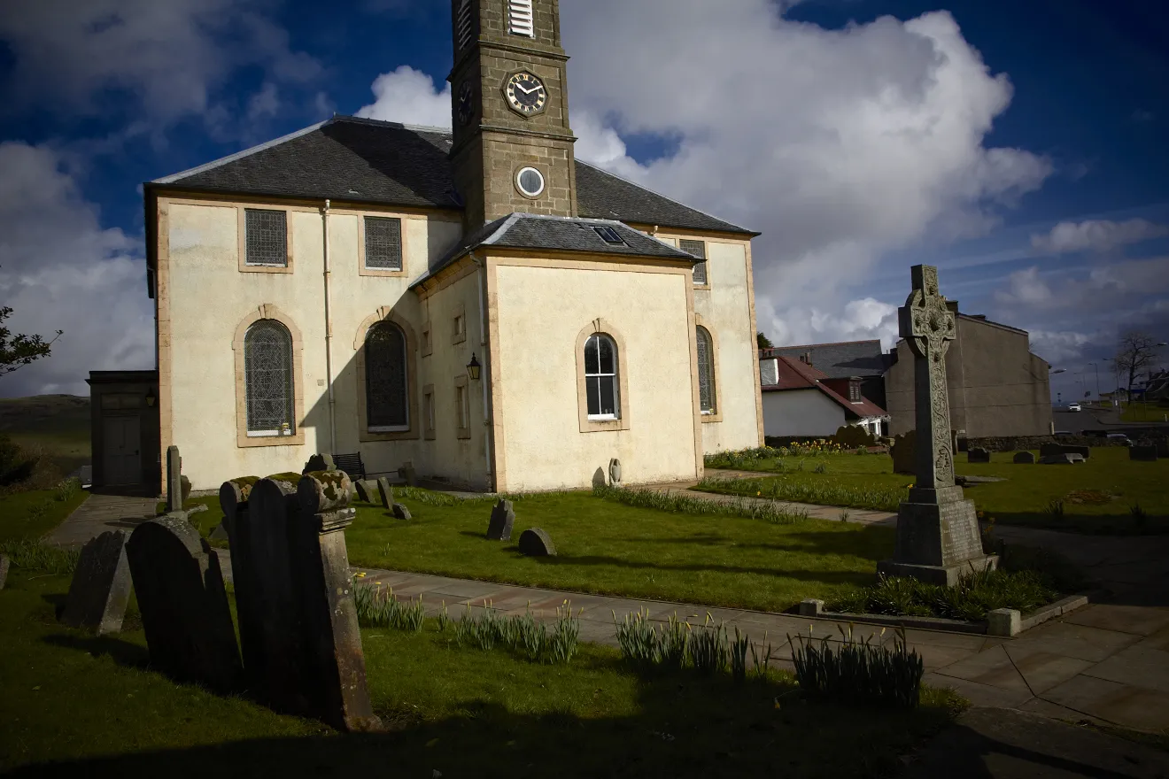
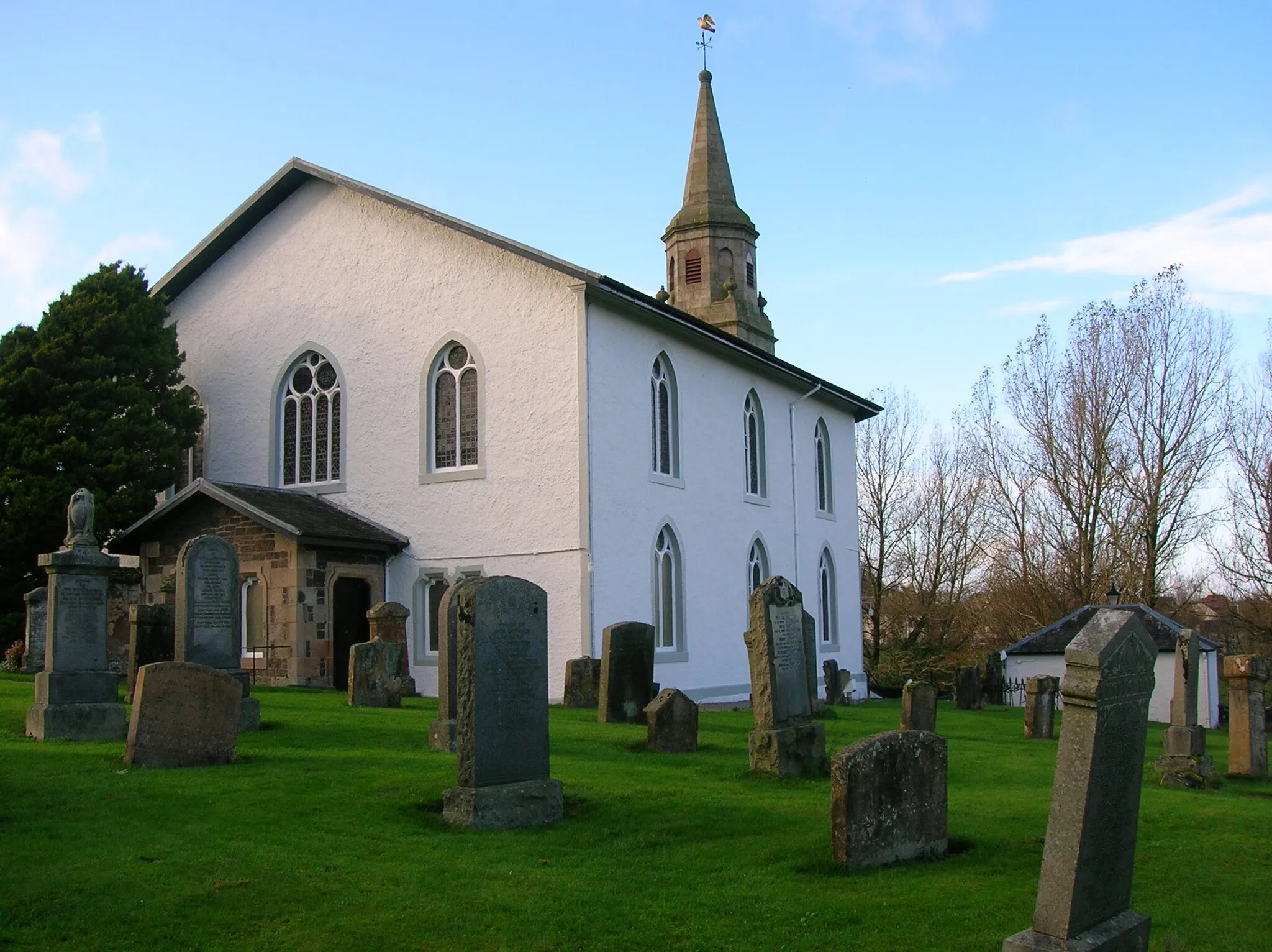
Thornliebank, located in West Central Scotland, United Kingdom, offers a delightful experience for road and gravel cyclists. The locality is surrounded by verdant countryside and charming Scottish villages, providing cyclists with a cultural and scenic experience. Thornliebank is nestled near Loch Lomond and The Trossachs National Park, allowing cyclists to explore vast open spaces and stunning lochs. Additionally, nearby Scott's View offers magnificent vistas for cyclists to enjoy during their rides. Though lacking in famous cycling spots, Thornliebank is a great destination for those seeking both cycling adventures and immersion in Scottish culture.
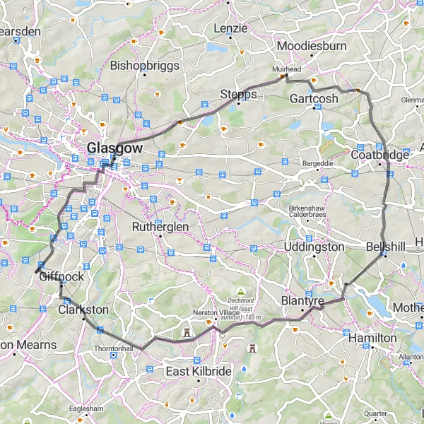
The Three Bridges Loop
Discover three charming bridges on this road cycling route near Thornliebank
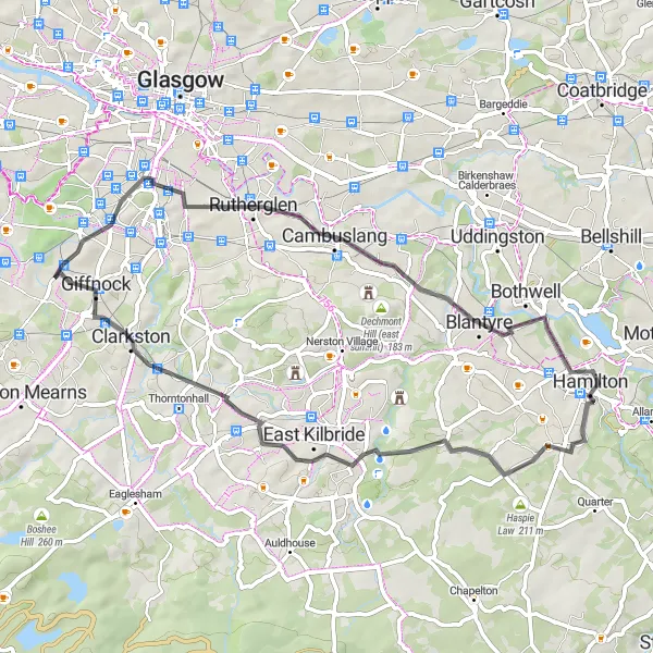
The Three Bridges Loop is a picturesque road cycling route near Thornliebank that takes you through the towns of Cambuslang, Blantyre, Busby, and Aidans Brae Viewpoint. With a total distance of 49 kilometers and an ascent of 456 meters, this route offers a moderate challenge to cyclists. The highlights of this route include Cambuslang with its historic attractions, Blantyre with its beautiful nature reserves, Busby with its charming cafes, and Aidans Brae Viewpoint with its stunning panoramic views. Overall, the Three Bridges Loop is a scenic and enjoyable route for cycling enthusiasts.
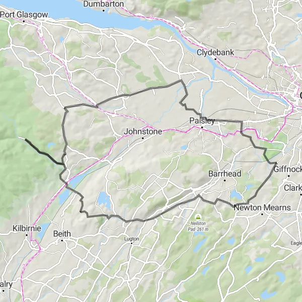
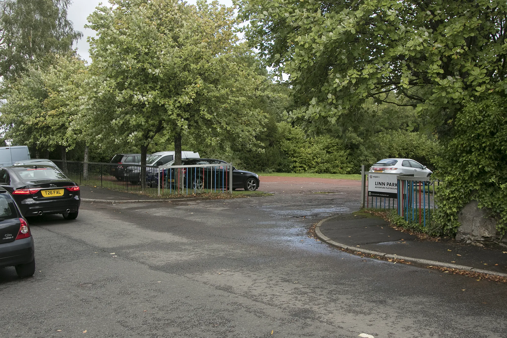
Thornliebank and Surroundings

Discover the beautiful outskirts of Thornliebank
This round-trip cycling route starting near Thornliebank takes you through scenic landscapes and charming villages. With a total distance of 65 km and an elevation gain of 469 meters, this moderately difficult route is perfect for a day of exploration. The highlights along the route will captivate you with their historical and natural wonders.
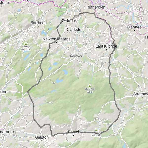
Discover the hidden gems near Thornliebank
Uncover the hidden gems and natural beauty hiding in the picturesque surroundings of Thornliebank with this 58 km cycling route. With an elevation gain of 453 meters, this moderate difficulty route is perfect for avid cyclists looking to explore the area. Ride along and immerse yourself in the history and natural wonders that await.
Discover lesser-known gems on this road cycling route near Thornliebank, featuring scenic vistas and intriguing landmarks.
Unearth the Hidden Gems of West Central Scotland on this road cycling route starting near Thornliebank. With an ascent of 688m and a distance of 72km, this route presents a moderate challenge suitable for experienced cyclists. As you ascend Duncarnock (The Craigie), marvel at the sweeping panoramas of the Scottish landscape. Ride through the charming village of Uplawmoor, known for its traditional architecture and warm hospitality. With its peaceful Lochwinnoch, dotted with tranquil lochs, you'll experience a truly serene environment. End your journey atop Saucel Hill and revel in the breathtaking panorama that stretches for miles. Despite its lesser-known nature, this route offers an array of highlights that are worth the exploration.
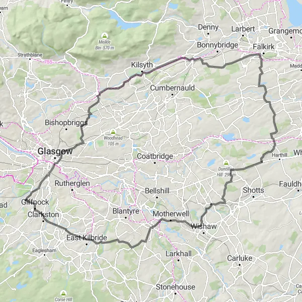
The Ultimate Challenge
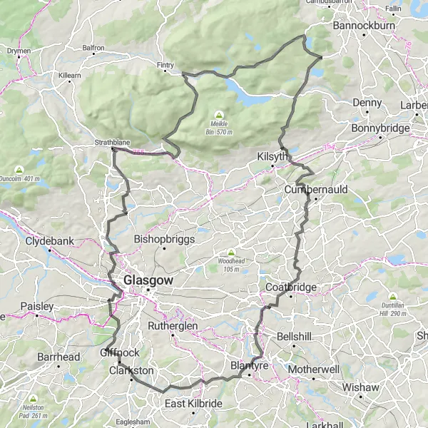
Conquer intense climbs and revel in awe-inspiring vistas on this road cycling route near Thornliebank.
Calling all cycling enthusiasts! Embark on The Ultimate Challenge near Thornliebank and test your limits. Prepare for an intense cycling experience with challenging ascents, including the famous Tak Ma Doon Road Viewing and Picnic Area climb. Pedal through Kelvinside, a vibrant neighborhood blessed with stunning architectural masterpieces. Prepare to catch your breath as you conquer Baldernock, appreciating the picturesque scenery along the way. Ascend Lovers Leap and reward yourself with mesmerizing views of the Campsie Fells. Feel the adrenaline rush as you tackle the Loup of Fintry, known for its demanding terrain. Located in this route is the notable Tak Ma Doon Road Viewing and Picnic Area, where you can stop and marvel at the magnificent vistas before continuing your journey. A true test for seasoned cyclists.
The Southern Exploration
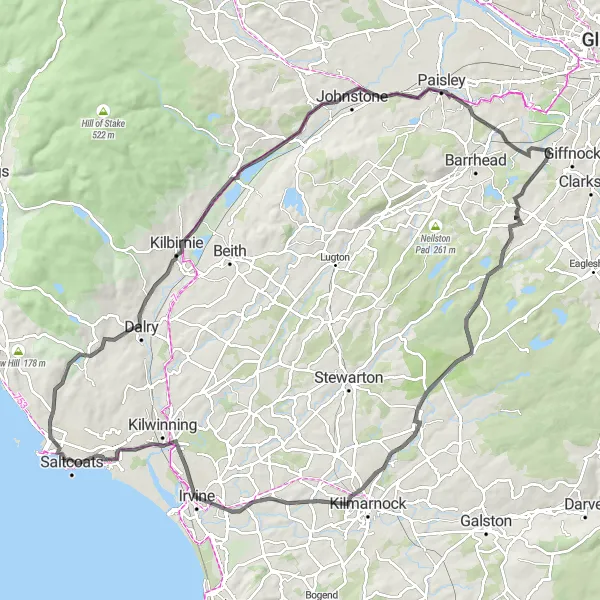
Experience the scenic countryside and charming villages on this road cycling route near Thornliebank.
Take on this route starting near Thornliebank and immerse yourself in the beauty of the Scottish countryside. The Southern Exploration offers picturesque views, challenging ascents, and opportunities to experience local history and culture. With a distance of 99km and an ascent of 547m, this route is suitable for well-trained amateurs. Pedal through Deaconsbank, a delightful residential area, and make a stop at Barr Castle, an impressive historic site. As you cycle through Saltcoats, enjoy the refreshing sea breeze and take in the coastal scenery. The route concludes at Hurlet, where you can appreciate the panoramic view before heading back to Thornliebank.
Experience the beauty of Thornliebank through scenic roads
Embark on a picturesque journey starting from Thornliebank. Covering a distance of 78 km and climbing 780 meters, this road cycling route offers a moderate challenge suitable for experienced cyclists. As you pedal along, take in the captivating highlights that showcase the unique character of Thornliebank and its surroundings.
The Neilston Loop
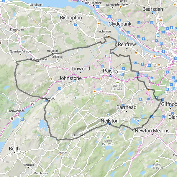
Embark on a scenic journey through Neilston and Thornliebank on this road cycling route
The Neilston Loop is a 65-kilometer road cycling route that takes you through the beautiful countryside near Thornliebank, with highlights including Duncarnock (The Craigie), Neilston, Howwood, Bridge of Weir, Penilee, and Thornliebank itself. With a challenging ascent of 528 meters, this route is best suited for experienced cyclists. Highlights of the Neilston Loop include Duncarnock (The Craigie), a prominent hill with panoramic views, Neilston with its historic buildings and charming village atmosphere, Howwood with its tranquil nature reserves, and Bridge of Weir with its beautiful riverside scenery. Overall, the Neilston Loop offers a diverse and scenic cycling experience.
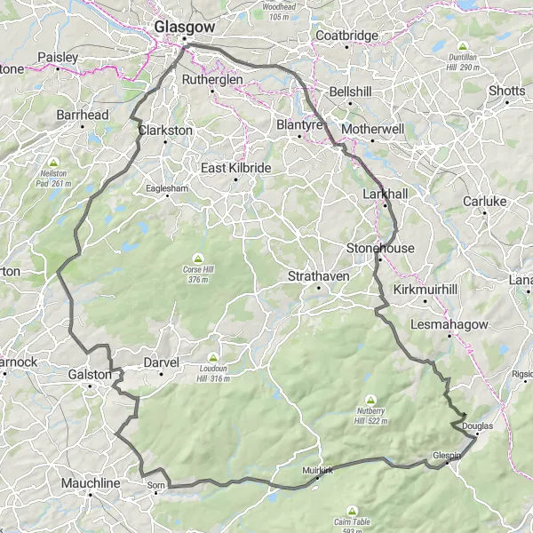
Embark on an adventurous road cycling route near Thornliebank with challenging climbs and dramatic landscapes.
Prepare for an exhilarating ride with Hills and Adventure. This road cycling route near Thornliebank boasts an ascent of 1036m and a distance of 115km, making it suitable for experienced and well-trained amateurs. Enjoy the scenic Rushy Hill, known for its meandering paths and captivating views. Encounter Auchinstarry, a village with a unique charm and a beautiful backdrop provided by the Campsie Fells. The route also takes you to Cant Hills, where you can admire the stunning vistas from the top. Pass by Aidans Brae Viewpoint, offering panoramic views of the surrounding countryside. With its captivating ascents and diverse highlights, this route is perfect for thrill-seekers and avid cyclists.
Embark on a thrilling adventure through Thornliebank and its breathtaking surroundings
Get ready for an adrenaline-pumping cycling experience through Thornliebank and its breathtaking surroundings. This challenging route covers a distance of 140 km with a total ascent of 1259 meters, making it suitable for experienced cyclists seeking a true test of their endurance. Along the way, be prepared to encounter stunning landscapes and notable landmarks that will leave you in awe.
Cycling routes nearby:

Nearby regions: