The Neilston Loop
A road cycling route starting from Thornliebank
Embark on a scenic journey through Neilston and Thornliebank on this road cycling route
Map
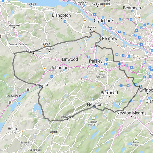
The Neilston Loop is a 65-kilometer road cycling route that takes you through the beautiful countryside near Thornliebank, with highlights including Duncarnock (The Craigie), Neilston, Howwood, Bridge of Weir, Penilee, and Thornliebank itself. With a challenging ascent of 528 meters, this route is best suited for experienced cyclists. Highlights of the Neilston Loop include Duncarnock (The Craigie), a prominent hill with panoramic views, Neilston with its historic buildings and charming village atmosphere, Howwood with its tranquil nature reserves, and Bridge of Weir with its beautiful riverside scenery. Overall, the Neilston Loop offers a diverse and scenic cycling experience.
road
65 km
528 m
Tough
Route profile
Highlights on the route
0 km
0 km
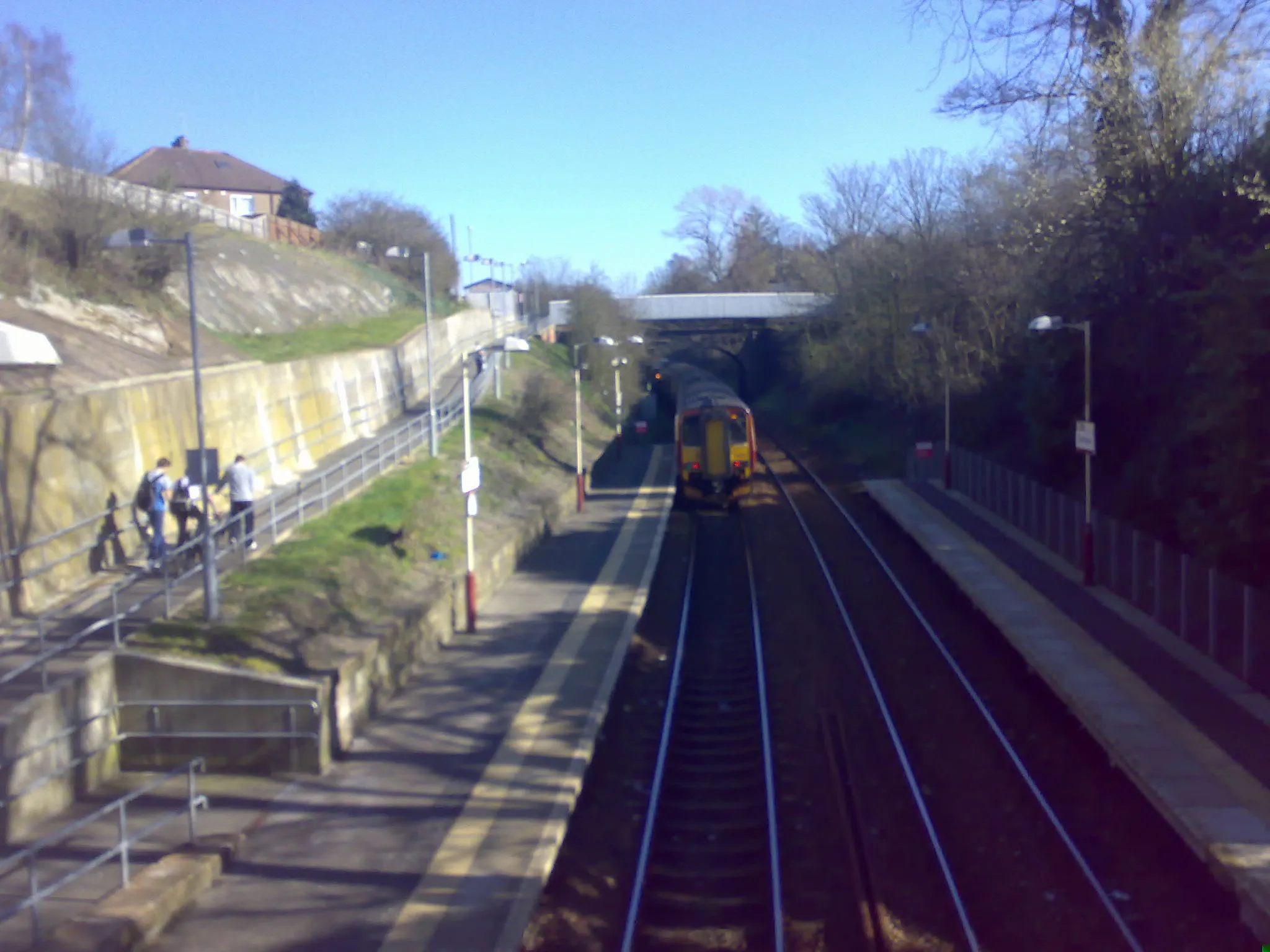
Start: Thornliebank City centerThornliebank: Uncover the natural and cultural wonders of Thornliebank through exhilarating cycling routes.
Thornliebank, located in West Central Scotland, United Kingdom, offers a delightful experience for road and gravel cyclists. The locality is surrounded by verdant countryside and charming Scottish villages, providing cyclists with a cultural and scenic experience. Thornliebank is nestled near Loch Lomond and The Trossachs National Park, allowing cyclists to explore vast open spaces and stunning lochs. Additionally, nearby Scott's View offers magnificent vistas for cyclists to enjoy during their rides. Though lacking in famous cycling spots, Thornliebank is a great destination for those seeking both cycling adventures and immersion in Scottish culture.6 km
6 km
Duncarnock (The Craigie)204 mPeakDuncarnock (The Craigie) is a prominent hill that offers breathtaking panoramic views of the surrounding countryside, including Lochwinnoch and Ben Lomond in the distance.
10 km
10 km
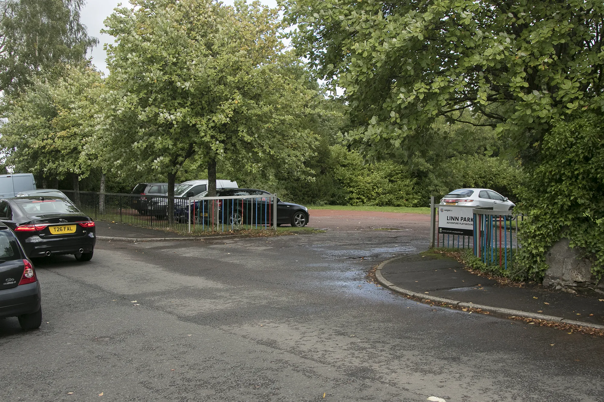
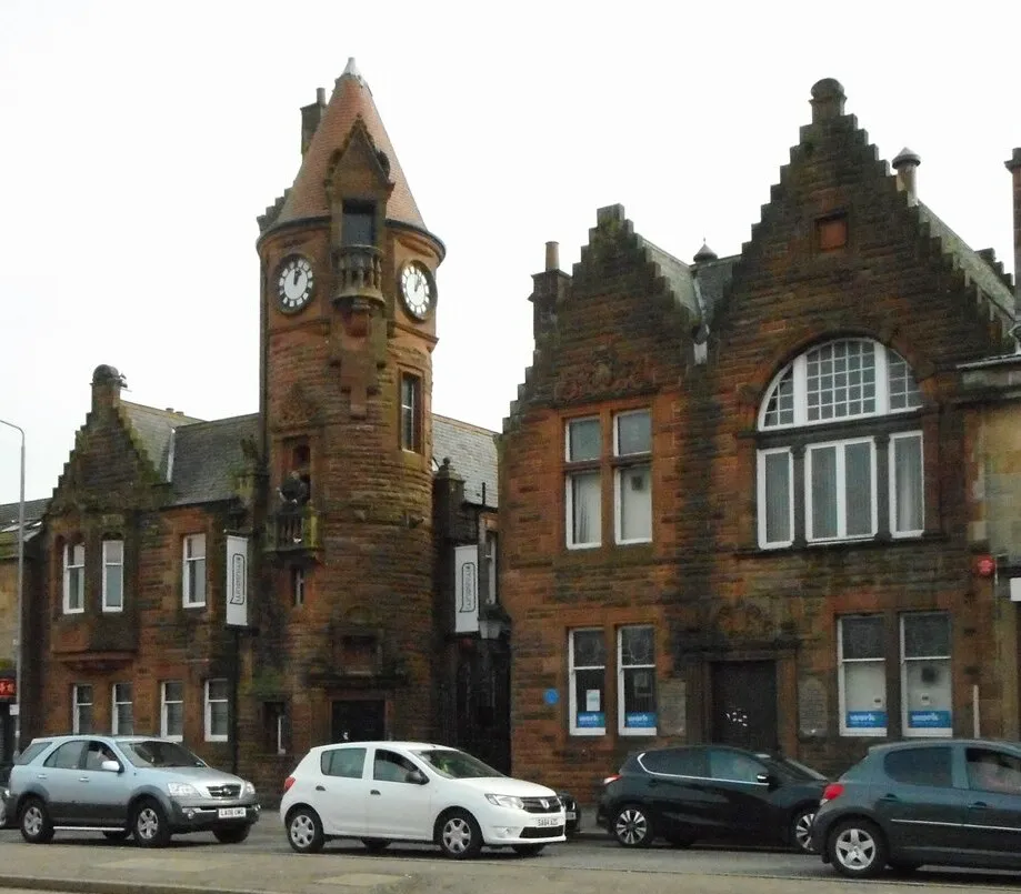
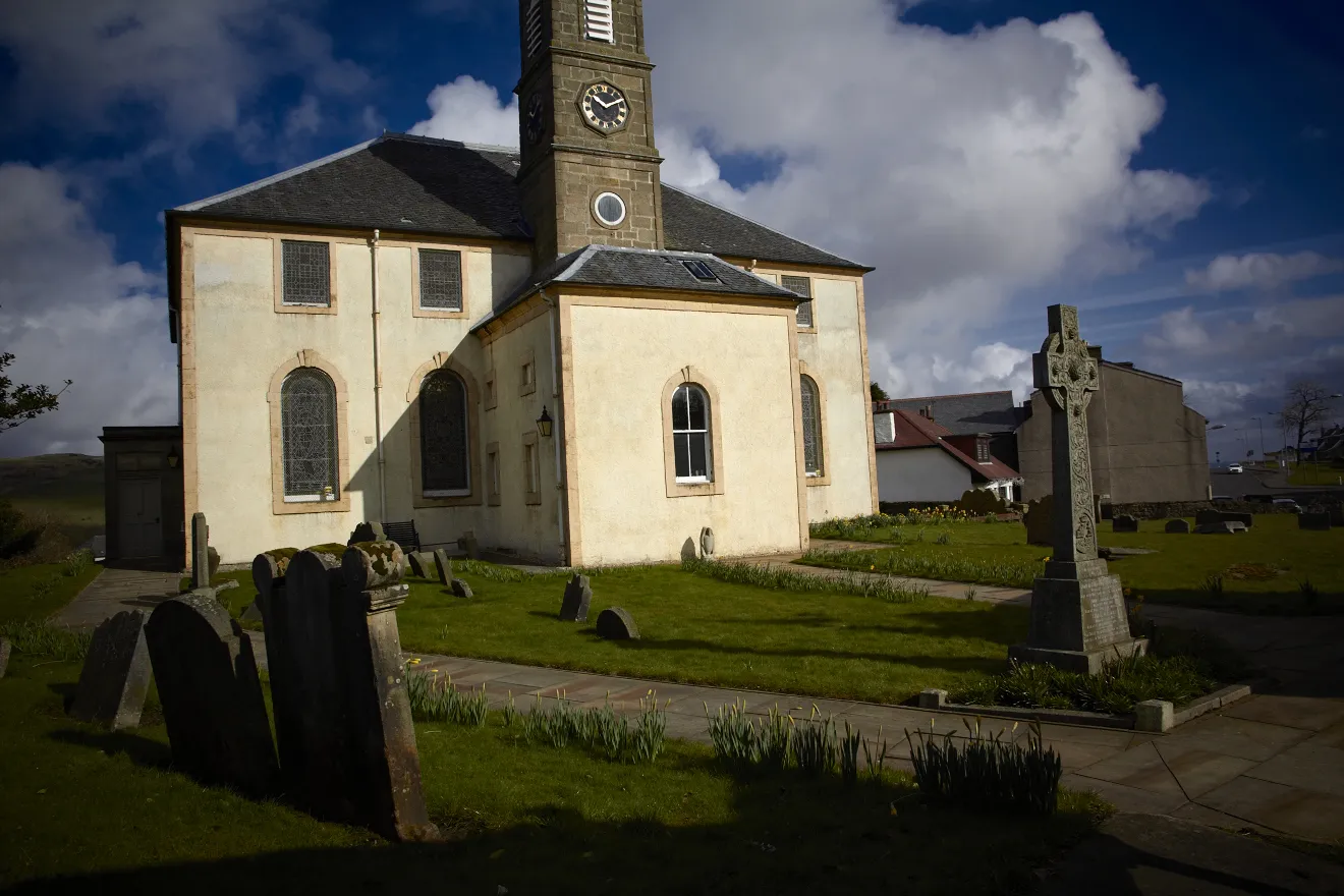
NeilstonTownNeilston is a picturesque village with a rich history, featuring beautifully preserved buildings such as the Neilston Parish Church and the Moorpark House.
25 km
25 km
HowwoodVillageHowwood is surrounded by tranquil nature reserves, making it a perfect spot for a peaceful break during your cycling journey.
37 km
37 km
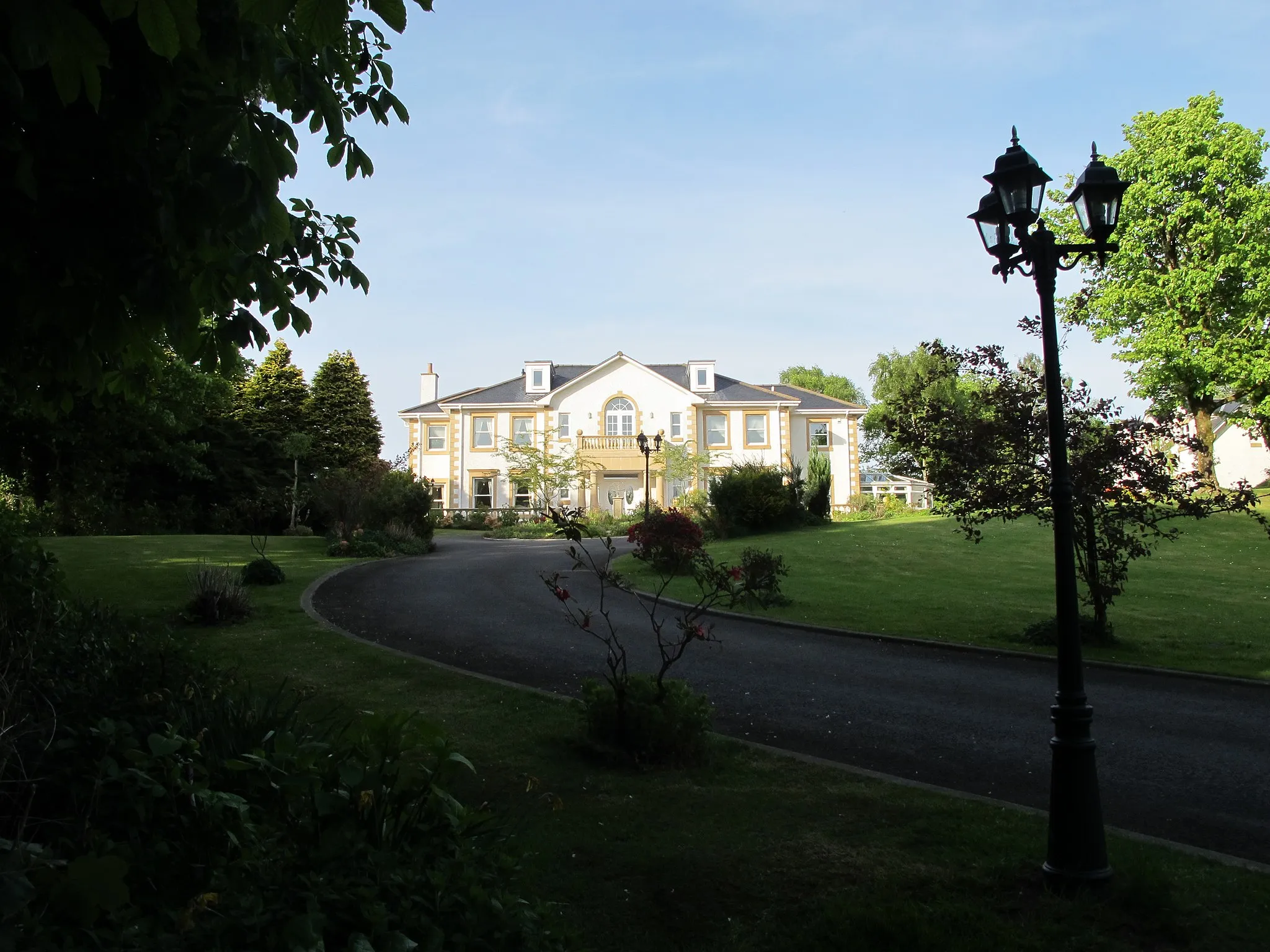
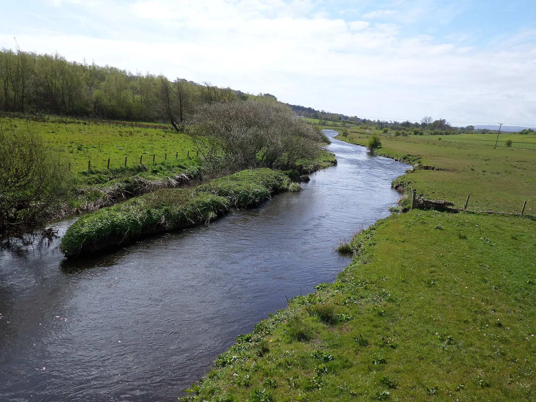
Bridge of WeirVillageBridge of Weir is a charming town located on the banks of the River Gryffe, offering scenic riverside cycling routes and picturesque surroundings.
56 km
56 km
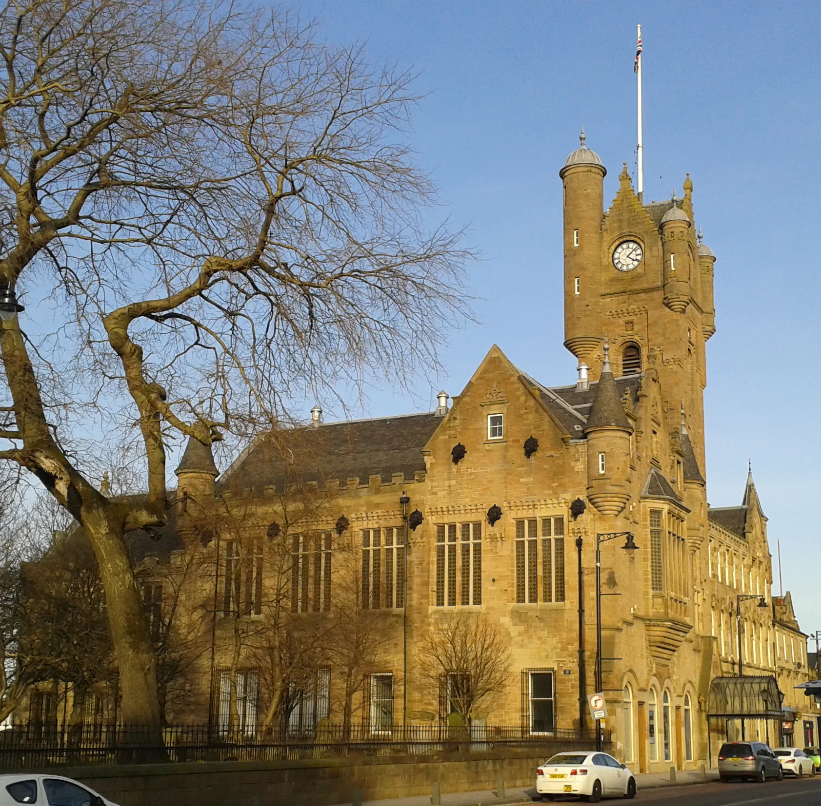
PenileeSub-urbPenilee is a historic area with several notable landmarks, including the iconic Penilee Tower and the beautiful Elder Park.
65 km
65 km
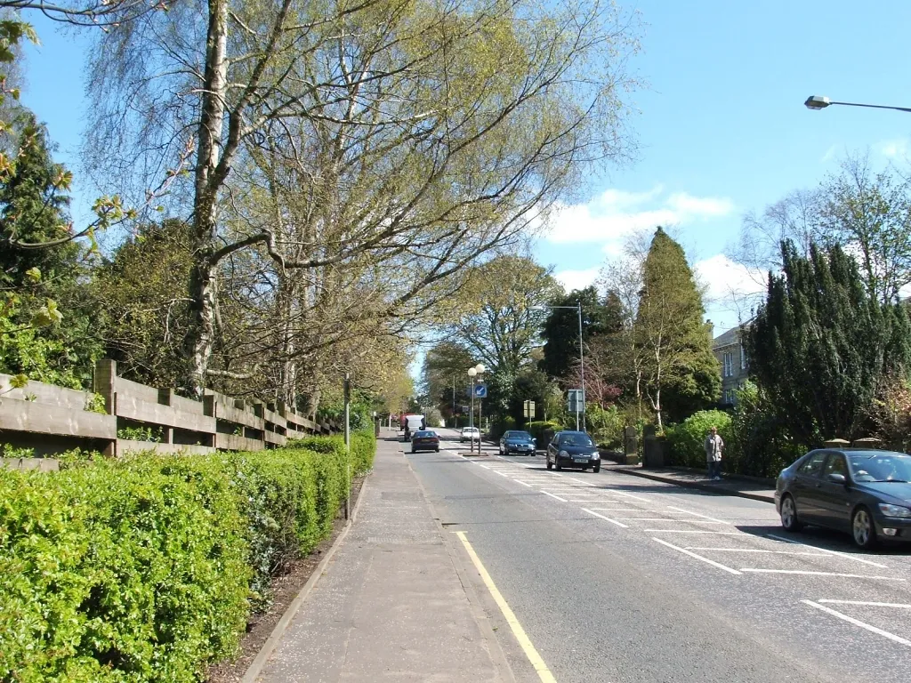
ThornliebankTownThornliebank is a charming town surrounded by natural beauty, with several parks and green spaces to explore.
65 km
65 km
Finish: Thornliebank City centerThornliebank: Uncover the natural and cultural wonders of Thornliebank through exhilarating cycling routes.
Cycling routes from Thornliebank:
Cycling routes nearby: