Challenging Adventure through Thornliebank and Beyond
A road cycling route starting from Thornliebank
Embark on a thrilling adventure through Thornliebank and its breathtaking surroundings
Map
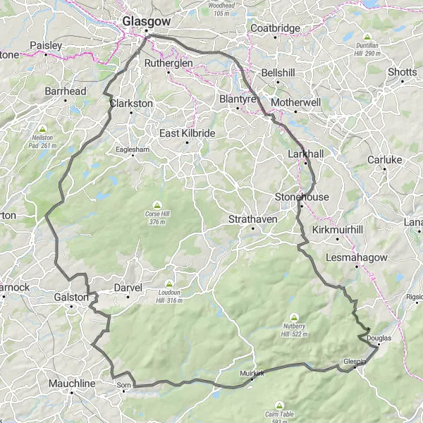
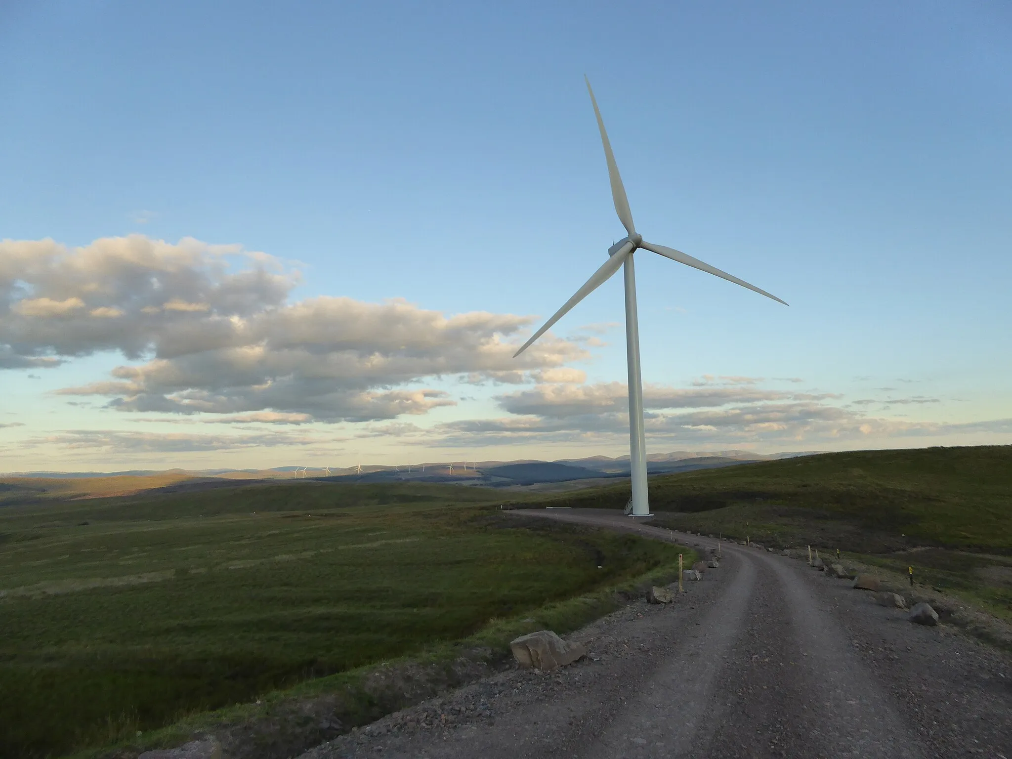
Get ready for an adrenaline-pumping cycling experience through Thornliebank and its breathtaking surroundings. This challenging route covers a distance of 140 km with a total ascent of 1259 meters, making it suitable for experienced cyclists seeking a true test of their endurance. Along the way, be prepared to encounter stunning landscapes and notable landmarks that will leave you in awe.
road
140 km
1259 m
Savage
Route profile
Highlights on the route
0 km
0 km
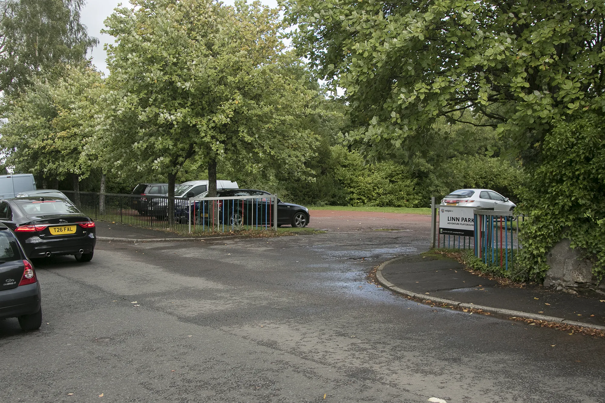
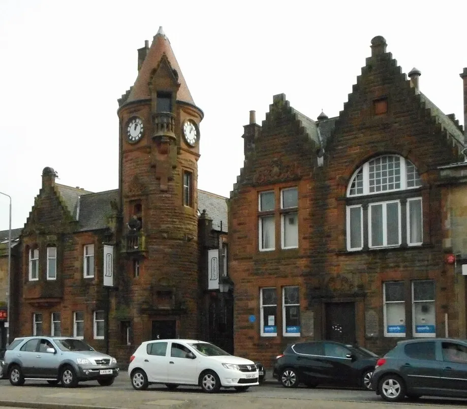
Start: Thornliebank City centerThornliebank: Uncover the natural and cultural wonders of Thornliebank through exhilarating cycling routes.
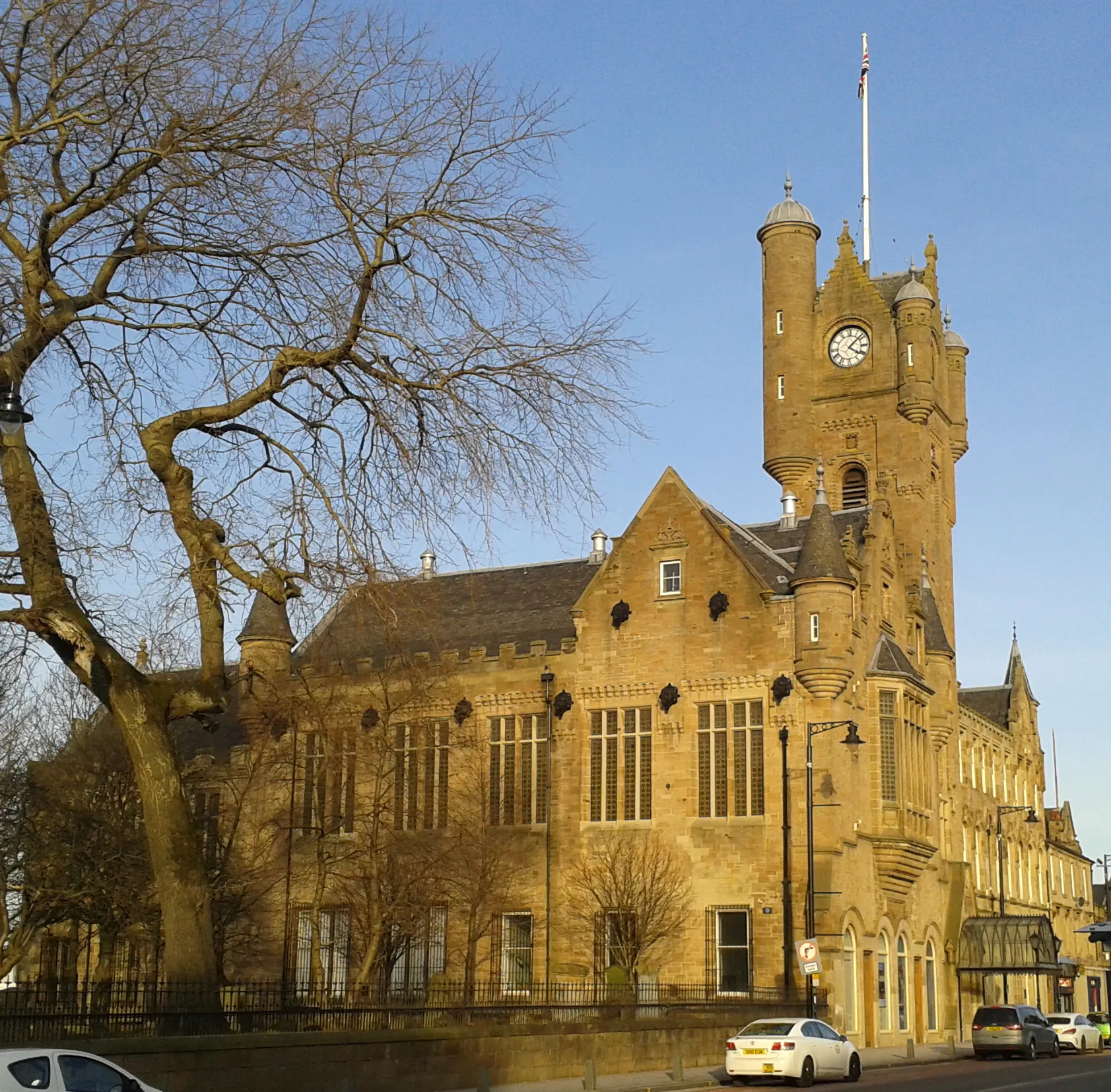
Thornliebank, located in West Central Scotland, United Kingdom, offers a delightful experience for road and gravel cyclists. The locality is surrounded by verdant countryside and charming Scottish villages, providing cyclists with a cultural and scenic experience. Thornliebank is nestled near Loch Lomond and The Trossachs National Park, allowing cyclists to explore vast open spaces and stunning lochs. Additionally, nearby Scott's View offers magnificent vistas for cyclists to enjoy during their rides. Though lacking in famous cycling spots, Thornliebank is a great destination for those seeking both cycling adventures and immersion in Scottish culture.12 km
12 km
TollcrossSub-urbTollcross offers glimpses of local history with its historic buildings and industrial heritage.
15 km
15 km
Kenmuir Hill51 mPeakKenmuir Hill provides panoramic views of the surrounding countryside, rewarding cyclists with a breathtaking sight.
37 km
37 km
StonehouseTownStonehouse is a charming village dating back centuries and offers a peaceful stop along the route.
54 km
54 km
CoalburnVillageCoalburn is located amidst the stunning landscape and provides a true sense of Scotland's natural beauty.
68 km
68 km
Strawberry Hill362 mPeakStrawberry Hill is renowned for its picturesque beauty, with rolling hills and vibrant flora dotting the landscape.
78 km
78 km
MuirkirkVillageMuirkirk is steeped in history, served as a center for iron and coal industries, and boasts unique architecture.
95 km
95 km
Sorn CastleCastleSorn Castle, an architectural gem, stands proudly and offers a glimpse into the grandeur of the past.
120 km
120 km
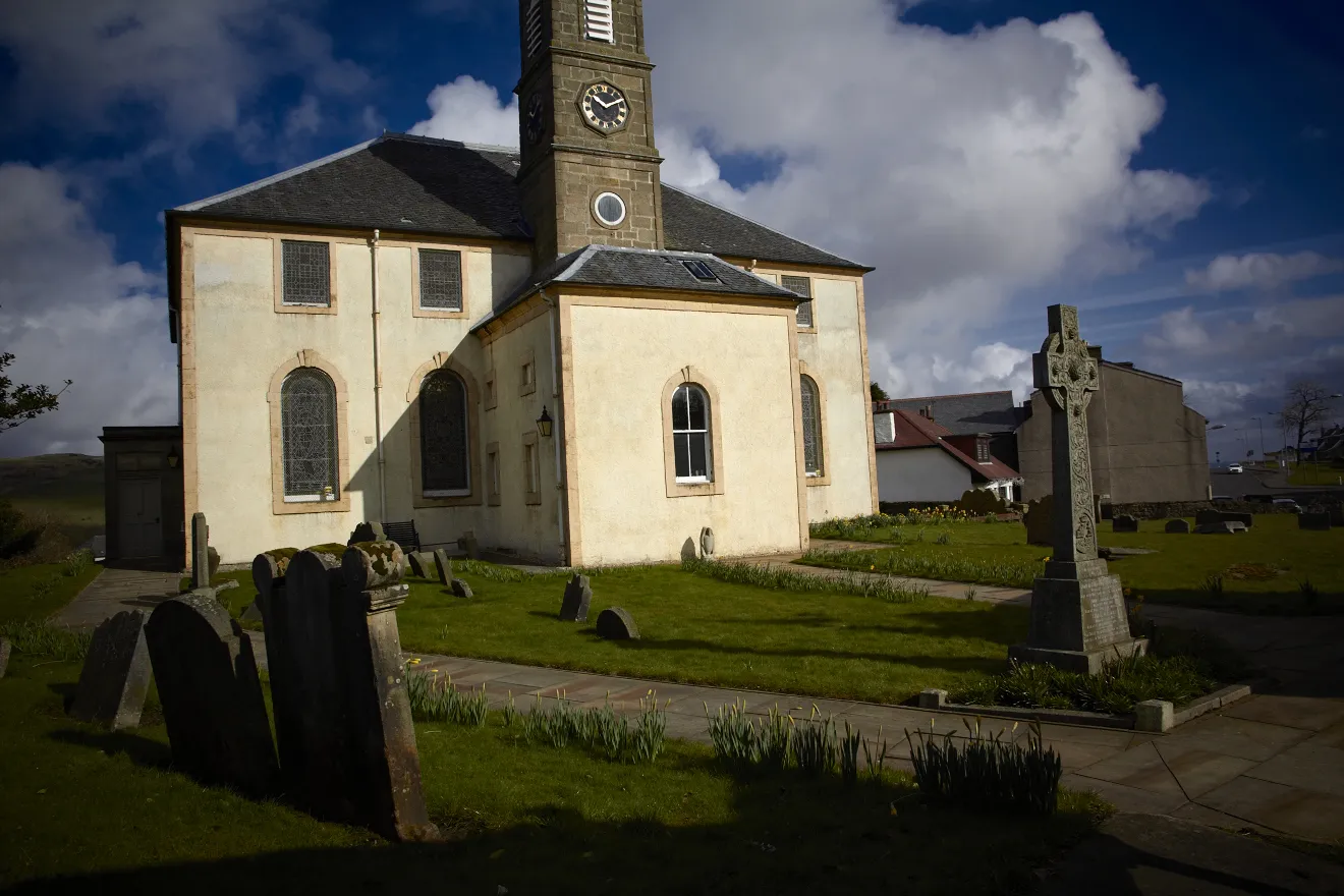
WatersideVillageWaterside, beautifully located on the route, provides tranquil views of a loch, perfect for a peaceful break.
139 km
139 km
DeaconsbankSub-urbDeaconsbank, marking the end of the adventure, is a scenic area with lush green spaces to unwind and rejuvenate.
140 km
140 km
Finish: Thornliebank City centerThornliebank: Uncover the natural and cultural wonders of Thornliebank through exhilarating cycling routes.
Cycling routes from Thornliebank:
Cycling routes nearby: