Hills and Adventure
A road cycling route starting from Thornliebank
Embark on an adventurous road cycling route near Thornliebank with challenging climbs and dramatic landscapes.
Map
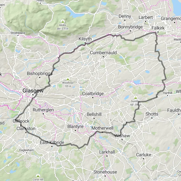
Prepare for an exhilarating ride with Hills and Adventure. This road cycling route near Thornliebank boasts an ascent of 1036m and a distance of 115km, making it suitable for experienced and well-trained amateurs. Enjoy the scenic Rushy Hill, known for its meandering paths and captivating views. Encounter Auchinstarry, a village with a unique charm and a beautiful backdrop provided by the Campsie Fells. The route also takes you to Cant Hills, where you can admire the stunning vistas from the top. Pass by Aidans Brae Viewpoint, offering panoramic views of the surrounding countryside. With its captivating ascents and diverse highlights, this route is perfect for thrill-seekers and avid cyclists.
road
115 km
1036 m
Tough
Route profile
Highlights on the route
0 km
0 km
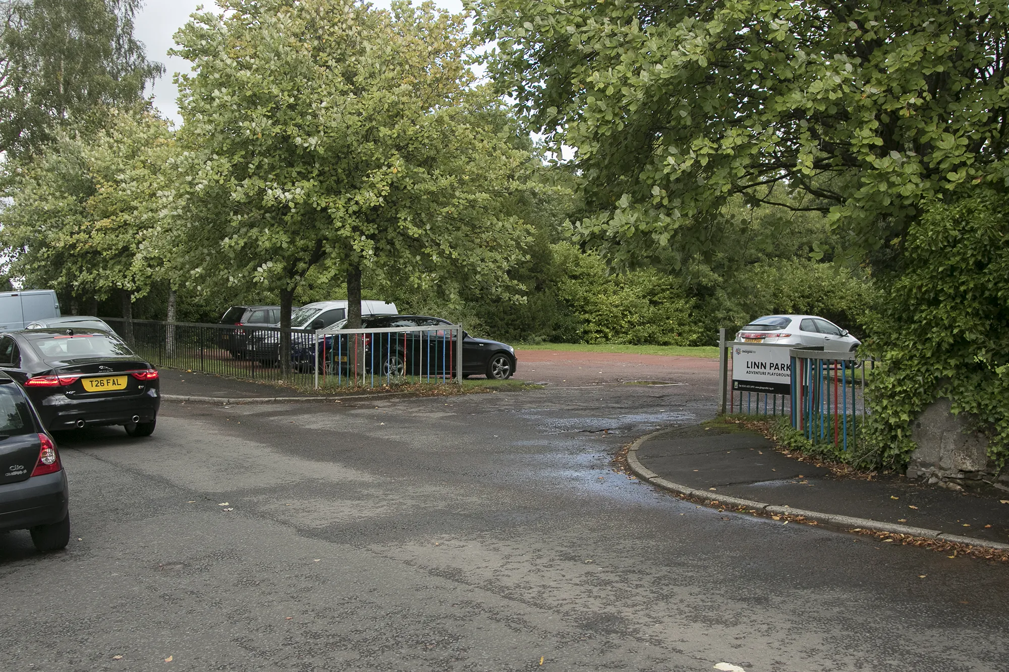
Start: Thornliebank City centerThornliebank: Uncover the natural and cultural wonders of Thornliebank through exhilarating cycling routes.
Thornliebank, located in West Central Scotland, United Kingdom, offers a delightful experience for road and gravel cyclists. The locality is surrounded by verdant countryside and charming Scottish villages, providing cyclists with a cultural and scenic experience. Thornliebank is nestled near Loch Lomond and The Trossachs National Park, allowing cyclists to explore vast open spaces and stunning lochs. Additionally, nearby Scott's View offers magnificent vistas for cyclists to enjoy during their rides. Though lacking in famous cycling spots, Thornliebank is a great destination for those seeking both cycling adventures and immersion in Scottish culture.0 km
0 km
ThornliebankTownBegin your journey at Thornliebank, a suburban area with an interesting history and a welcoming community.
16 km
16 km
Rushy Hill84 mPeakCatch your breath at Rushy Hill, known for its stunning views and peaceful ambience. Take a moment to appreciate nature's beauty.
27 km
27 km
Bar Hill161 mPeakRide past Bar Hill and be captivated by the remnants of its historic Roman fort, offering a glimpse into Scotland's ancient past.
29 km
29 km
AuchinstarryVillageExperience the rustic charm of Auchinstarry, a village nestled in the picturesque Campsie Fells.
38 km
38 km
AllandaleVillageTake a break in Allandale, a hidden gem with stunning nature trails, perfect for reconnecting with nature.
48 km
48 km
Glen VillageVillageGlen Village is a small village surrounded by lush greenery, offering a peaceful and idyllic setting for rest and relaxation.
61 km
61 km
Eastcraigs Hill250 mPeakScaled the challenging Eastcraigs Hill, and enjoy the reward of breathtaking views from its summit.
70 km
70 km
Cant Hills301 mPeakDiscover Cant Hills and be rewarded with awe-inspiring landscapes at one of the area's most cherished viewpoints.
83 km
83 km
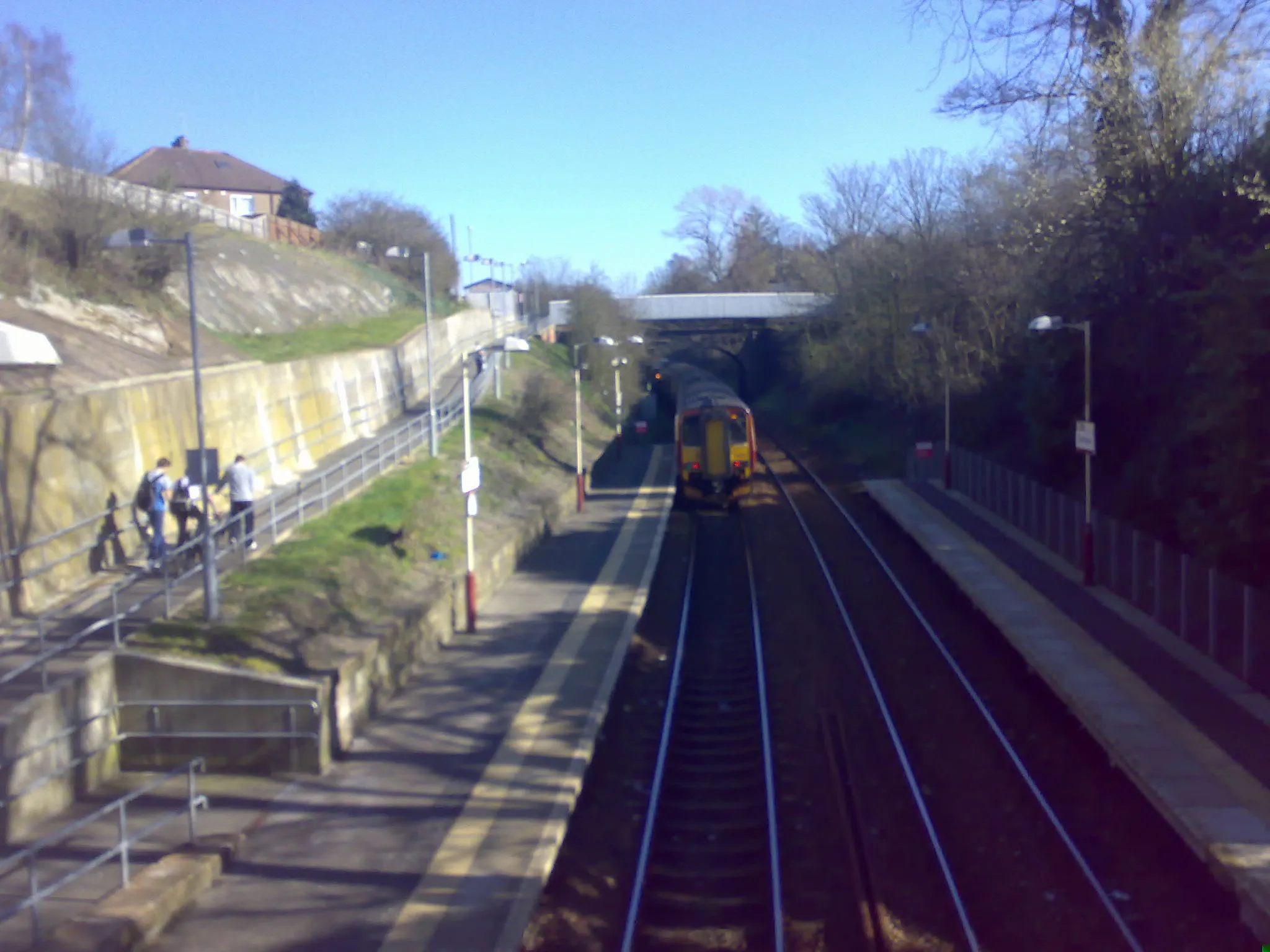
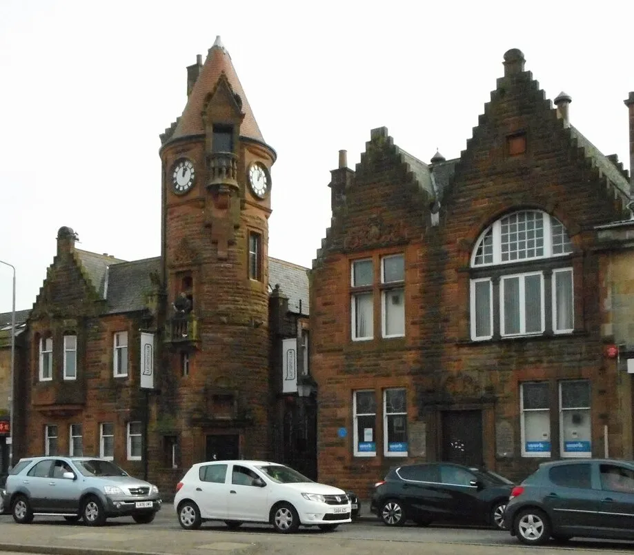
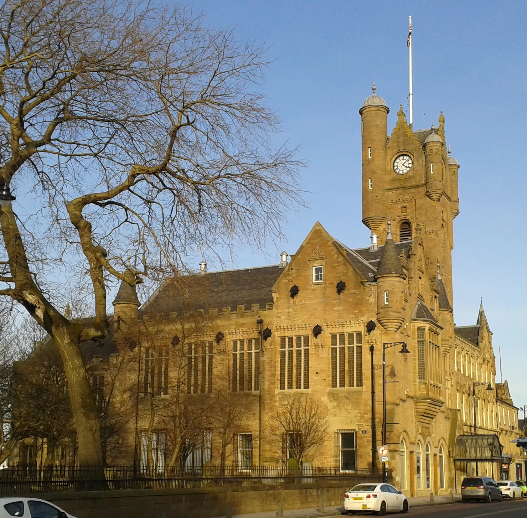
WishawTownAdmire the town of Wishaw, nestled on the banks of the South Calder River, and enjoy the riverside views.
110 km
110 km
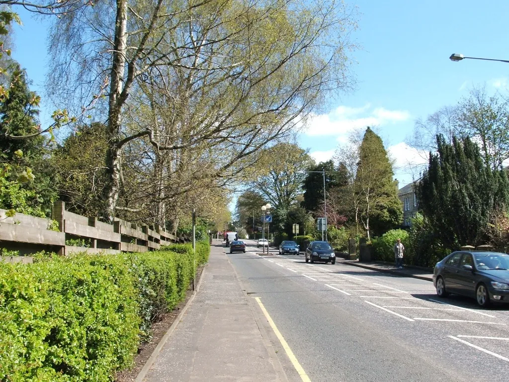
BusbyVillageArrive at Busby, a charming village with quaint cottages and several historic landmarks. Explore its timeless appeal before heading back to Thornliebank.
111 km
111 km
Aidans Brae ViewpointViewpointMake a stop at Aidans Brae Viewpoint for stunning panoramic views spanning across the rolling countryside.
115 km
115 km
Finish: Thornliebank City centerThornliebank: Uncover the natural and cultural wonders of Thornliebank through exhilarating cycling routes.
Cycling routes from Thornliebank:
Cycling routes nearby: