Thornliebank and Surroundings
A road cycling route starting from Thornliebank
Discover the beautiful outskirts of Thornliebank
Map

This round-trip cycling route starting near Thornliebank takes you through scenic landscapes and charming villages. With a total distance of 65 km and an elevation gain of 469 meters, this moderately difficult route is perfect for a day of exploration. The highlights along the route will captivate you with their historical and natural wonders.
road
65 km
469 m
Tough
Route profile
Highlights on the route
0 km
0 km
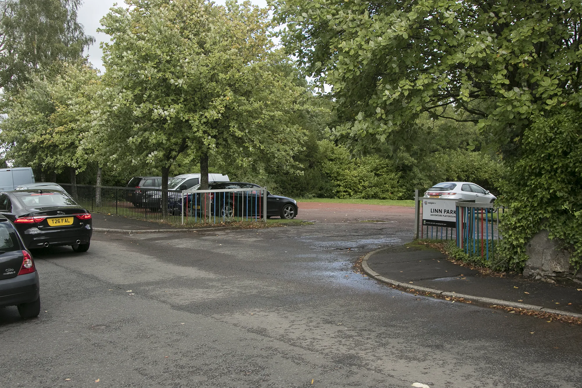
Start: Thornliebank City centerThornliebank: Uncover the natural and cultural wonders of Thornliebank through exhilarating cycling routes.
Thornliebank, located in West Central Scotland, United Kingdom, offers a delightful experience for road and gravel cyclists. The locality is surrounded by verdant countryside and charming Scottish villages, providing cyclists with a cultural and scenic experience. Thornliebank is nestled near Loch Lomond and The Trossachs National Park, allowing cyclists to explore vast open spaces and stunning lochs. Additionally, nearby Scott's View offers magnificent vistas for cyclists to enjoy during their rides. Though lacking in famous cycling spots, Thornliebank is a great destination for those seeking both cycling adventures and immersion in Scottish culture.0 km
0 km
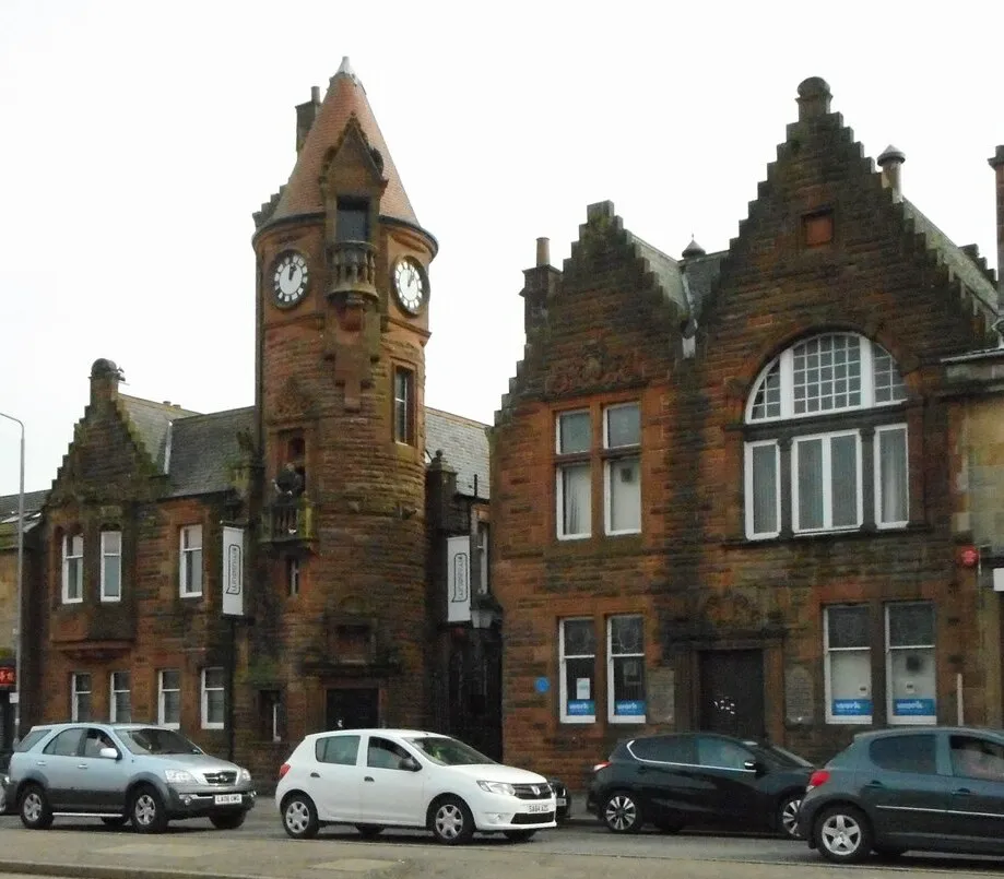
ThornliebankTownThornliebank, the starting point, is a village known for its rich history and charming architecture.
7 km
7 km
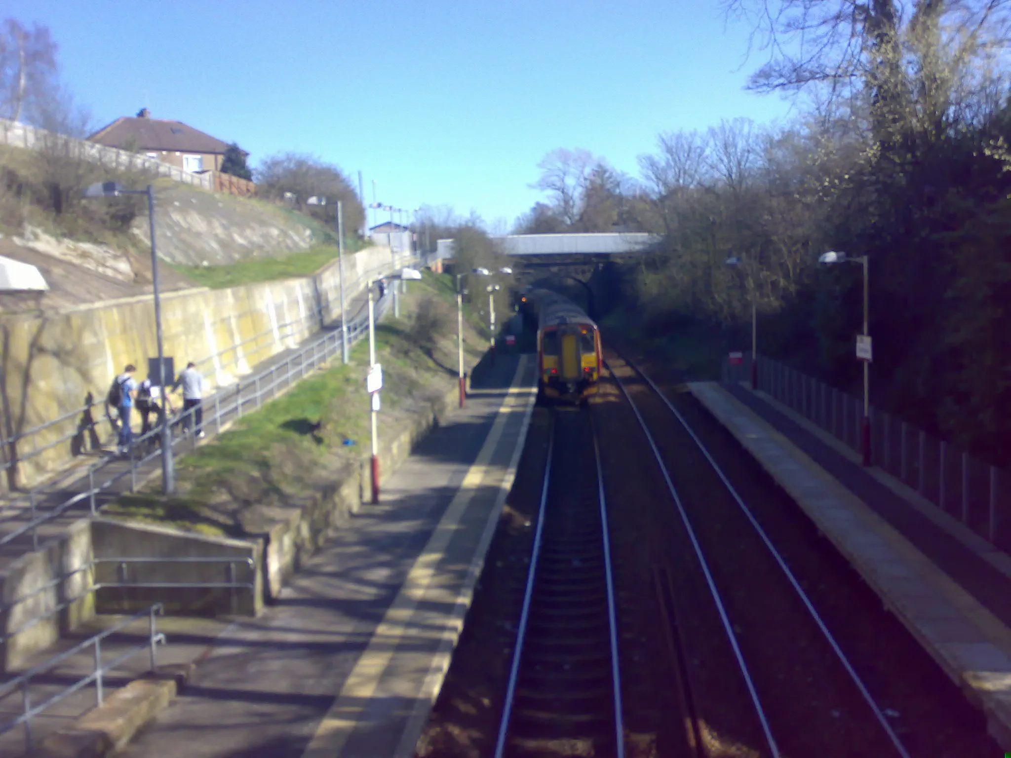
GovanSub-urbGovan is a riverside area with interesting industrial heritage, including shipyards and cranes.
26 km
26 km
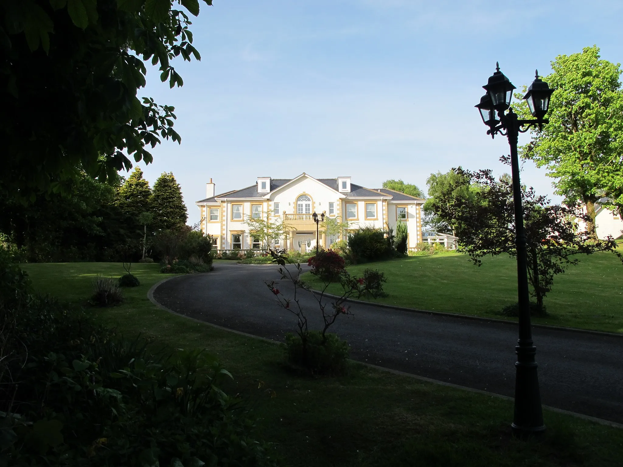
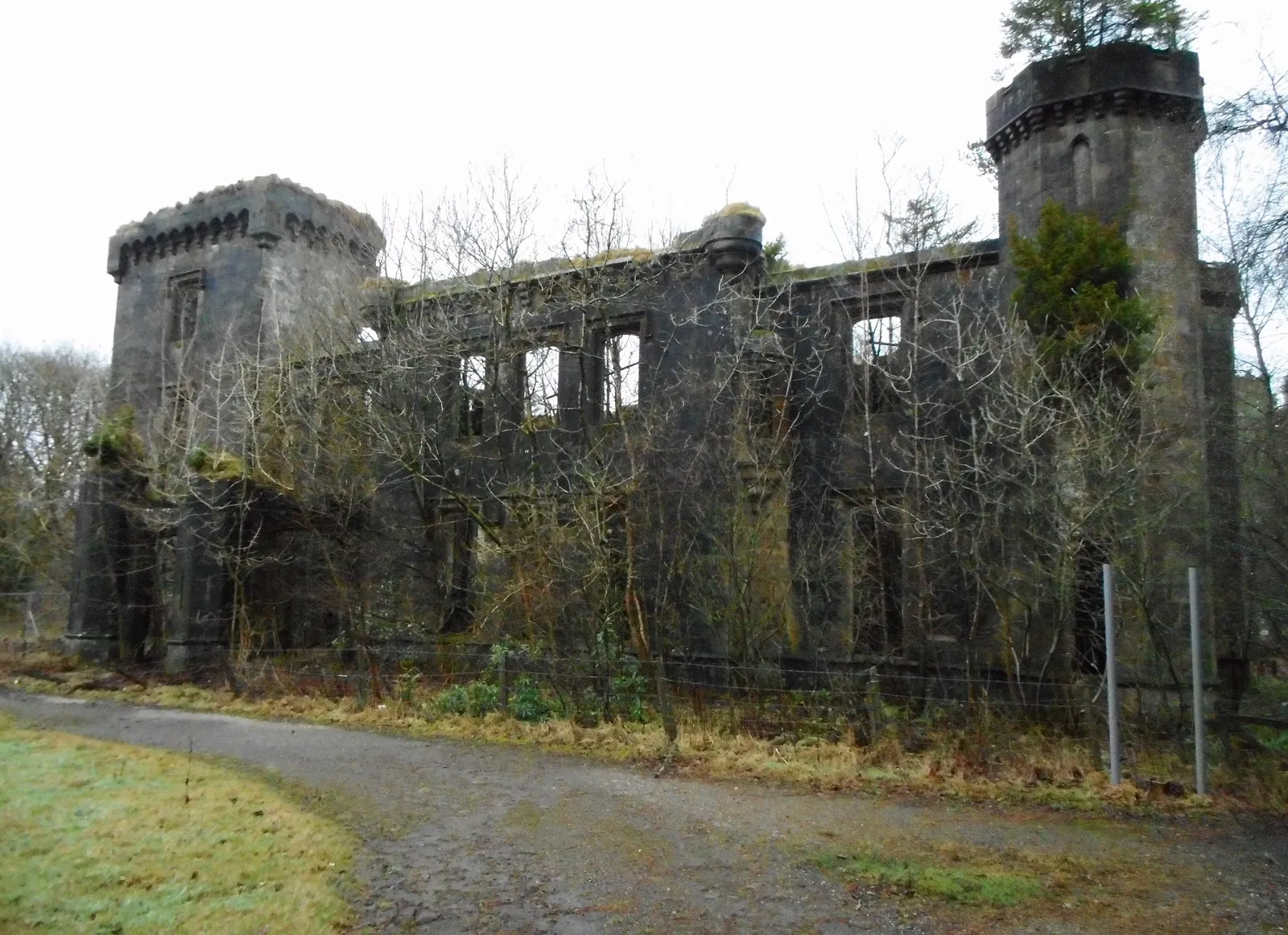
Craigend CastleCastle RuinsCraigend Castle, a historic ruin, offers a glimpse into the past and provides stunning views of the surrounding countryside.
27 km
27 km
Moot Hill177 mPeakMoot Hill is an ancient burial site and an excellent spot for panoramic views.
39 km
39 km
Gallow Hill56 mPeakGallow Hill is a prominent hill with an interesting history and rewarding views at the summit.
43 km
43 km
TorranceVillageTorrance is a picturesque village with charming cottages and beautiful countryside surroundings.
48 km
48 km
Rushy Hill84 mPeakRushy Hill is a notable geographical feature with breathtaking views of the landscape.
52 km
52 km
ProvanmillSub-urbProvanmill, located on the route, showcases a blend of industrial heritage and green spaces, providing a unique cycling experience.
57 km
57 km
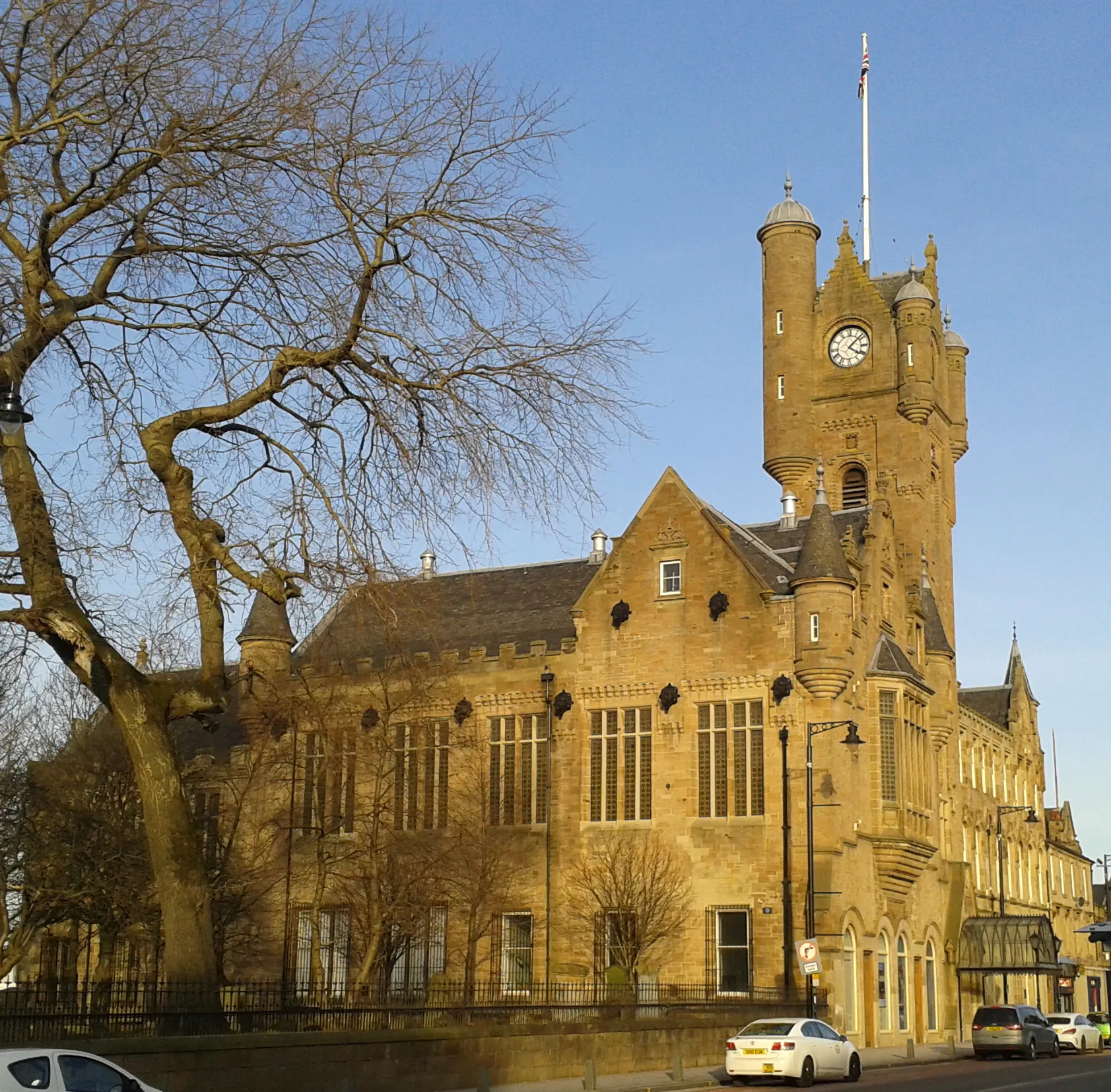
Mackintosh TowerViewpointMackintosh Tower stands tall in the countryside, offering a glimpse into the creative genius of Charles Rennie Mackintosh.
63 km
63 km
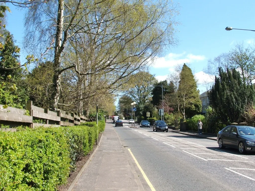
GiffnockTownGiffnock, the endpoint of this route, is a vibrant suburb with beautiful parks and elegant architecture.
65 km
65 km
Finish: Thornliebank City centerThornliebank: Uncover the natural and cultural wonders of Thornliebank through exhilarating cycling routes.
Cycling routes from Thornliebank:
Cycling routes nearby: