Whitespout Linn Loop
A road cycling route starting from Coylton
Embark on an epic cycling journey to Whitespout Linn waterfall on this 81km road route near Coylton.
Map

This challenging route will take you through the heart of Southern Scotland, with a total ascent of 848m. Explore beautiful landscapes and powerful waterfalls along the way.
road
81 km
848 m
Tough
Route profile
Highlights on the route
0 km
0 km
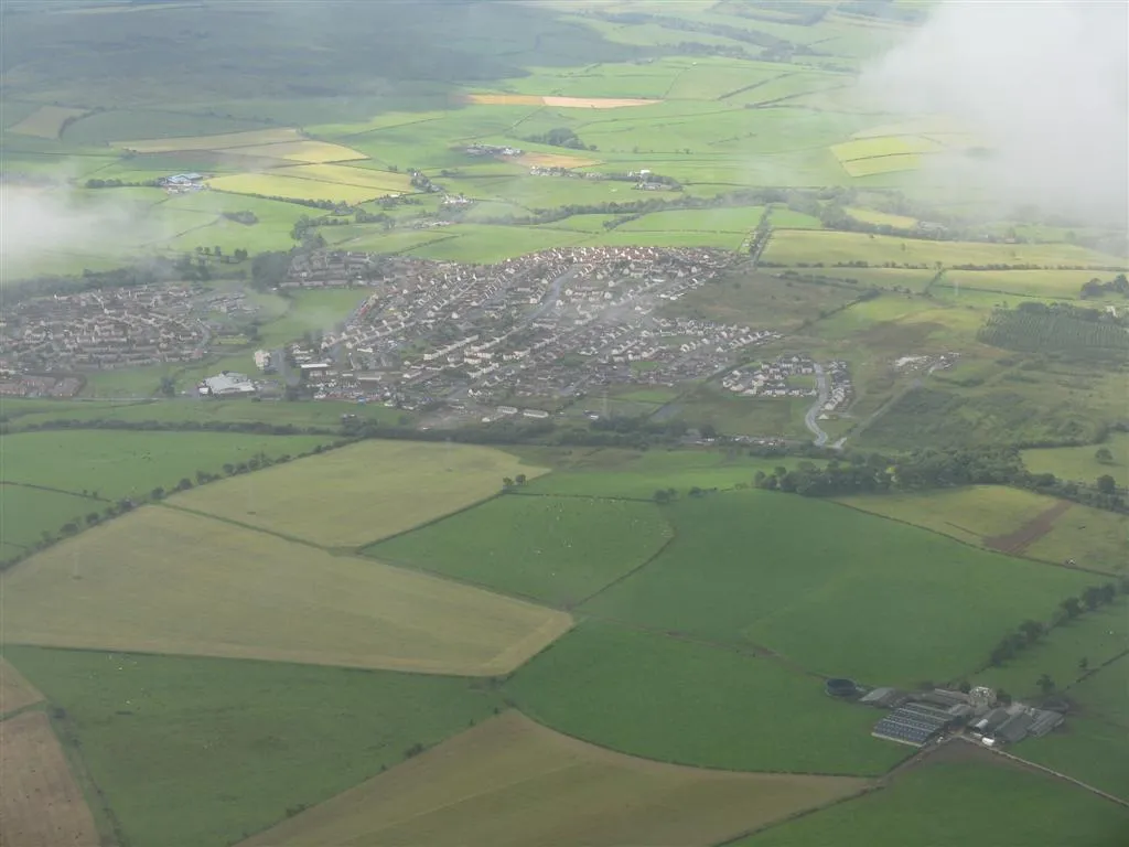
Start: Coylton Village centerCoylton: Cycling through the tranquil countryside of Coylton
Coylton is a small town located in the Southern Scotland region of the United Kingdom. Cyclists will enjoy the peaceful and scenic countryside that Coylton offers. The roads are generally quiet with minimal traffic, providing a pleasant cycling experience. Notable nearby climbs include the Old Dalmellington Road Climb and the Knockdolian Hill. These climbs attract cyclists seeking challenging ascents and rewarding views at the top. With its tranquil atmosphere and notable climbs, Coylton is a great destination for road and gravel cyclists in Southern Scotland.11 km
11 km
PolnessanHamletPolnessan is a small town on the route, known for its rich history and traditional architecture.
15 km
15 km
Green Hill300 mPeakGreen Hill offers scenic viewpoints of the surrounding countryside, perfect for a photo stop.
31 km
31 km
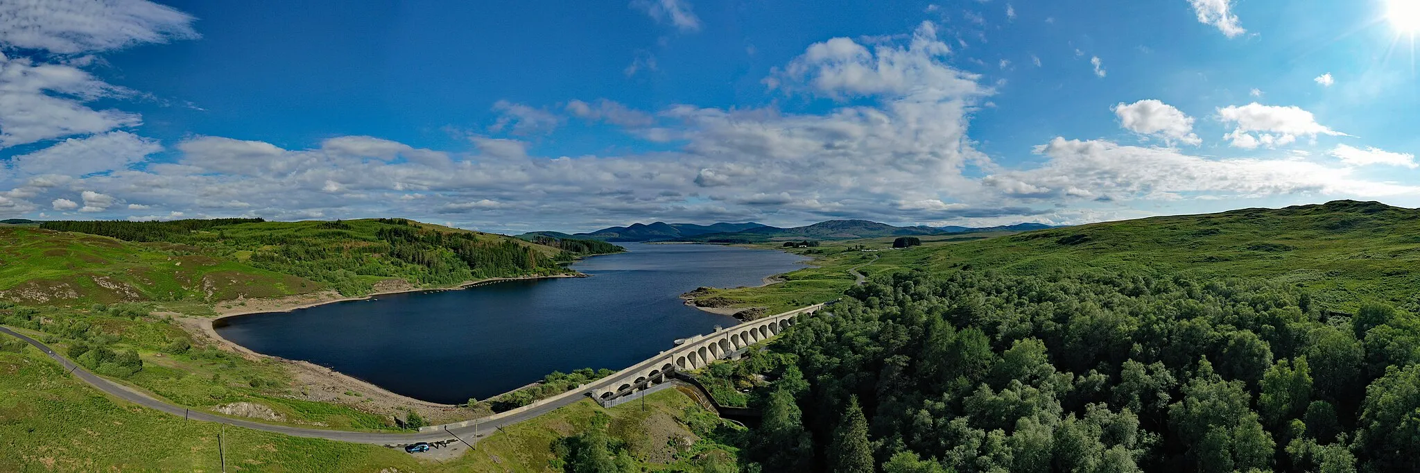
Loch DoonLakeLoch Doon is a stunning freshwater loch nestled within the Galloway Forest Park - a must-see on this route.
38 km
38 km
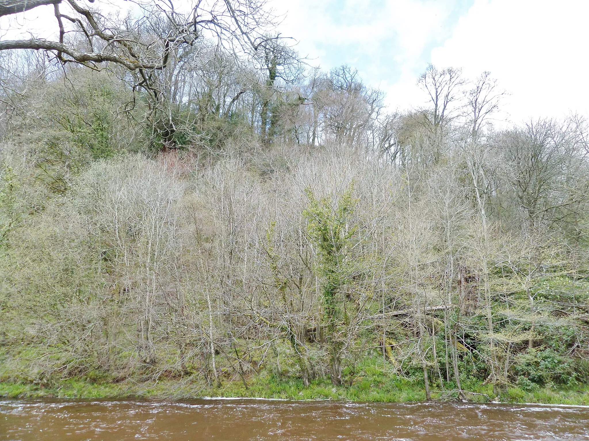
Whitespout LinnWaterfallAs you approach Whitespout Linn, the sound of rushing water becomes increasingly intense - prepare to be mesmerized by the waterfall's power.
50 km
50 km
Genoch Inner Hill339 mPeakGenoch Inner Hill provides panoramic views of the surrounding countryside - a perfect spot for a challenging climb.
57 km
57 km
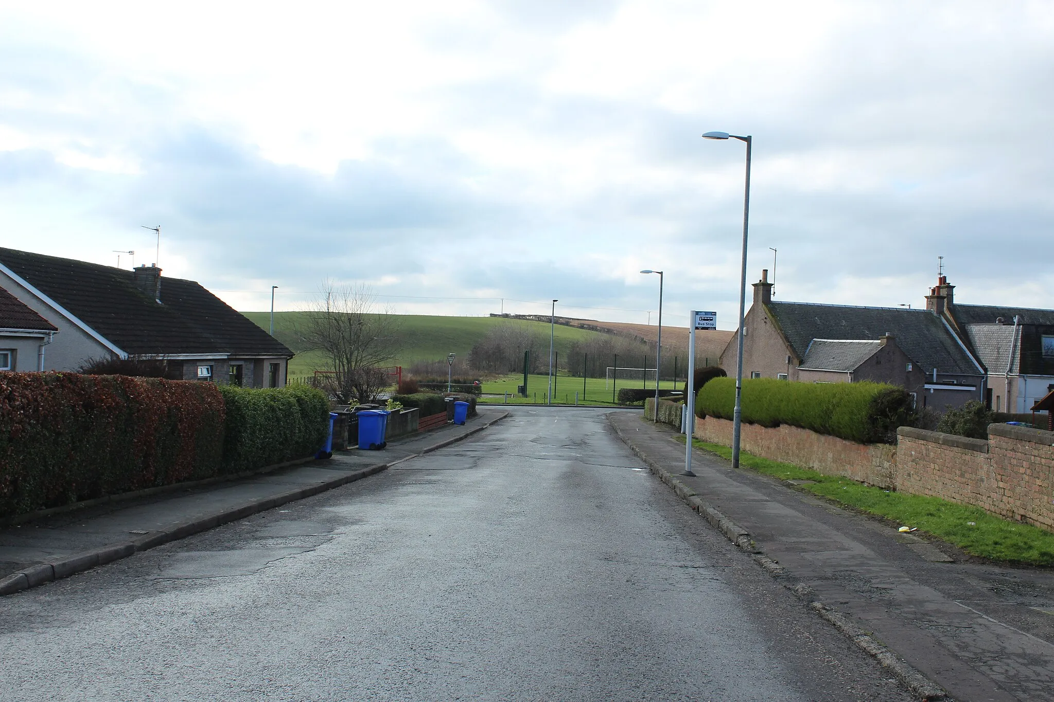
StraitonVillageIn Straiton, you'll find traditional pubs and restaurants where you can refuel and relax during your journey.
72 km
72 km
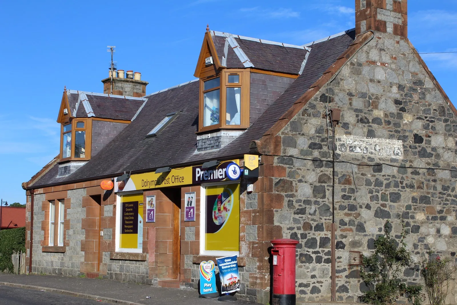
DalrympleVillageDalrymple is a quaint village along the route, featuring historic buildings and charming cobblestone streets.
81 km
81 km
Finish: Coylton Village centerCoylton: Cycling through the tranquil countryside of Coylton
Cycling routes nearby: