Coylton Hills Challenge
A road cycling route starting from Coylton
Embark on a challenging cycling adventure through the scenic hills near Coylton on this 84km road route.
Map

This demanding route will test your endurance, with a total ascent of 904m. Experience the beauty of the Scottish landscape as you conquer challenging climbs and enjoy thrilling descents.
road
84 km
904 m
Savage
Route profile
Highlights on the route
0 km
0 km
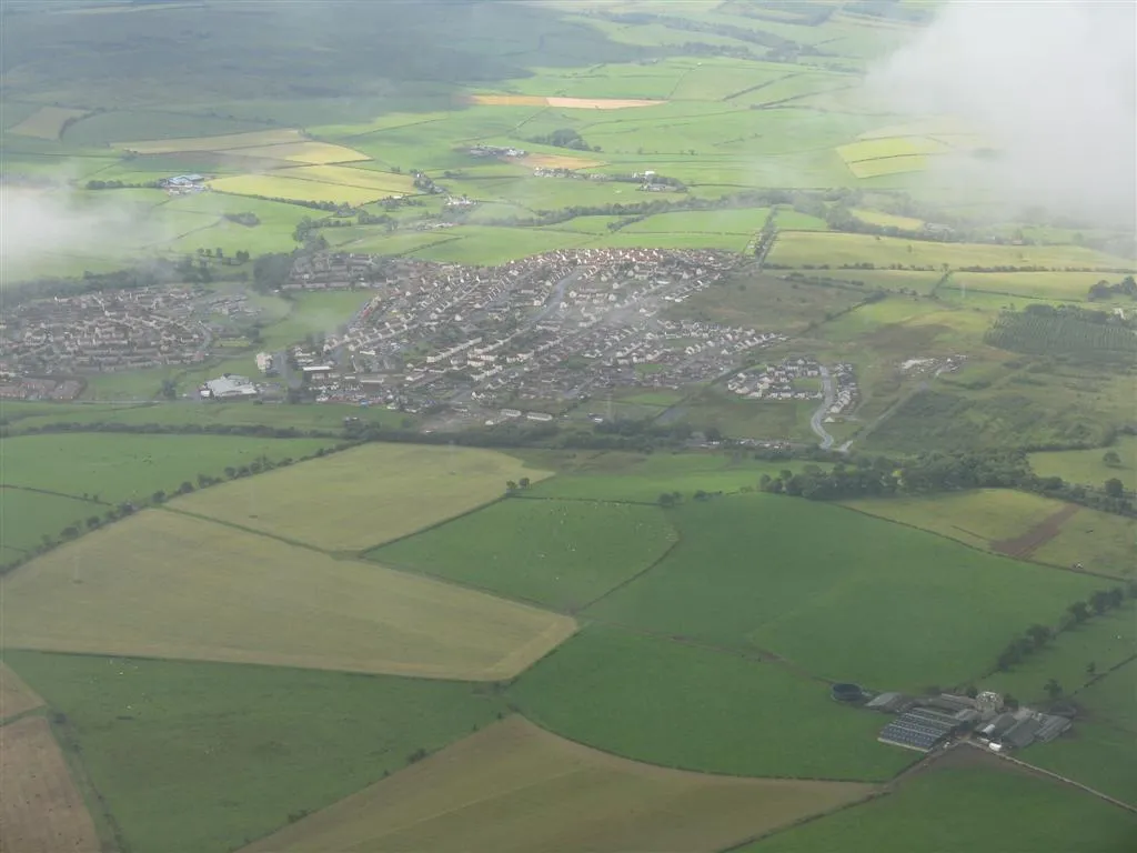
Start: Coylton Village centerCoylton: Cycling through the tranquil countryside of Coylton
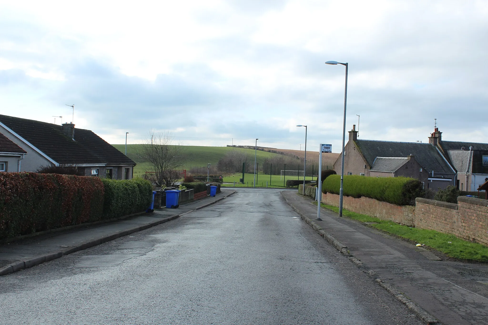
Coylton is a small town located in the Southern Scotland region of the United Kingdom. Cyclists will enjoy the peaceful and scenic countryside that Coylton offers. The roads are generally quiet with minimal traffic, providing a pleasant cycling experience. Notable nearby climbs include the Old Dalmellington Road Climb and the Knockdolian Hill. These climbs attract cyclists seeking challenging ascents and rewarding views at the top. With its tranquil atmosphere and notable climbs, Coylton is a great destination for road and gravel cyclists in Southern Scotland.0 km
0 km
CoyltonVillageCoylton, the starting point of the route, is a peaceful village surrounded by rolling hills and stunning vistas.
10 km
10 km
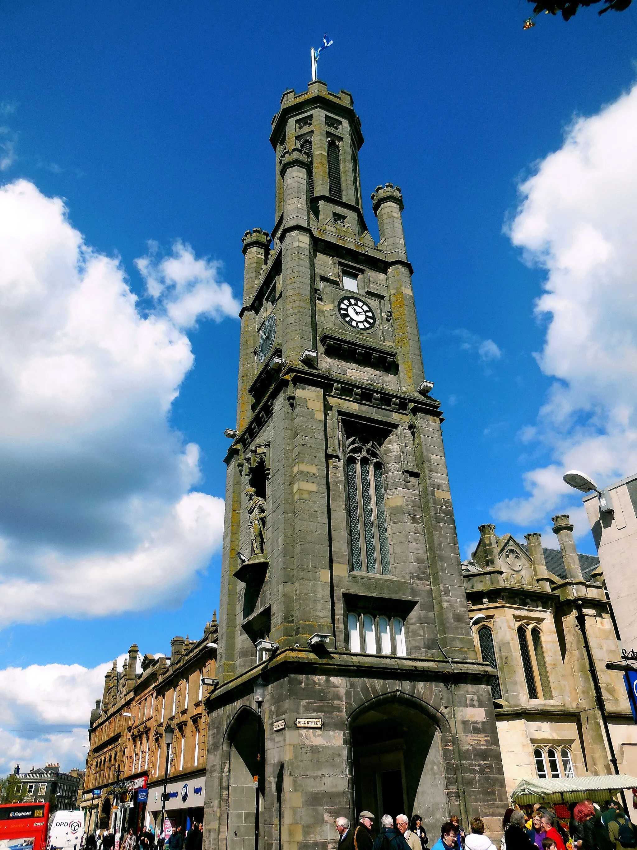
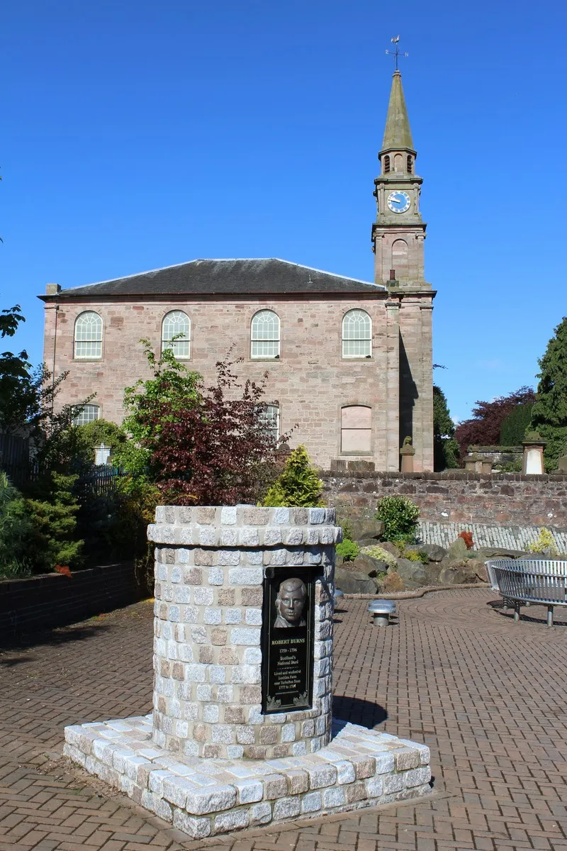
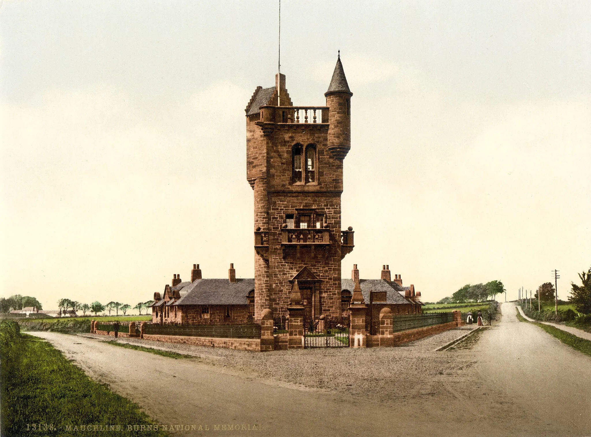
TarboltonVillageTarbolton is a historic town along the route, known for its connections to famous Scotsman Robert Burns.
31 km
31 km
DarvelTownDarvel is a charming village where you can take a break and enjoy a well-deserved lunch at one of the local cafes.
43 km
43 km
DrumclogVillageDrumclog is a historic site where a battle took place in 1679 - explore its fascinating history while cycling through.
48 km
48 km
Harelea Hill256 mPeakHarelea Hill offers breathtaking views of the surrounding countryside - a reward for conquering the challenging climb.
73 km
73 km
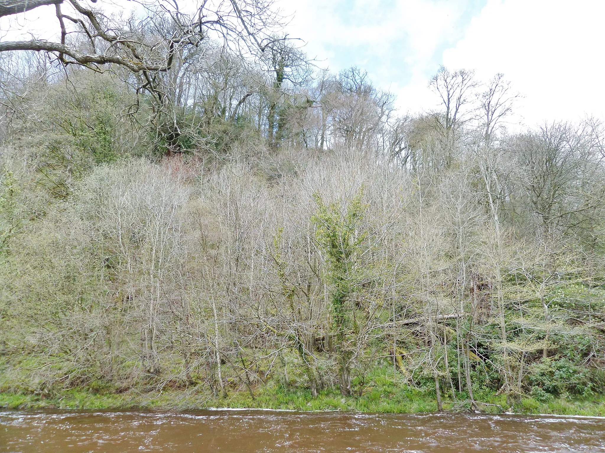
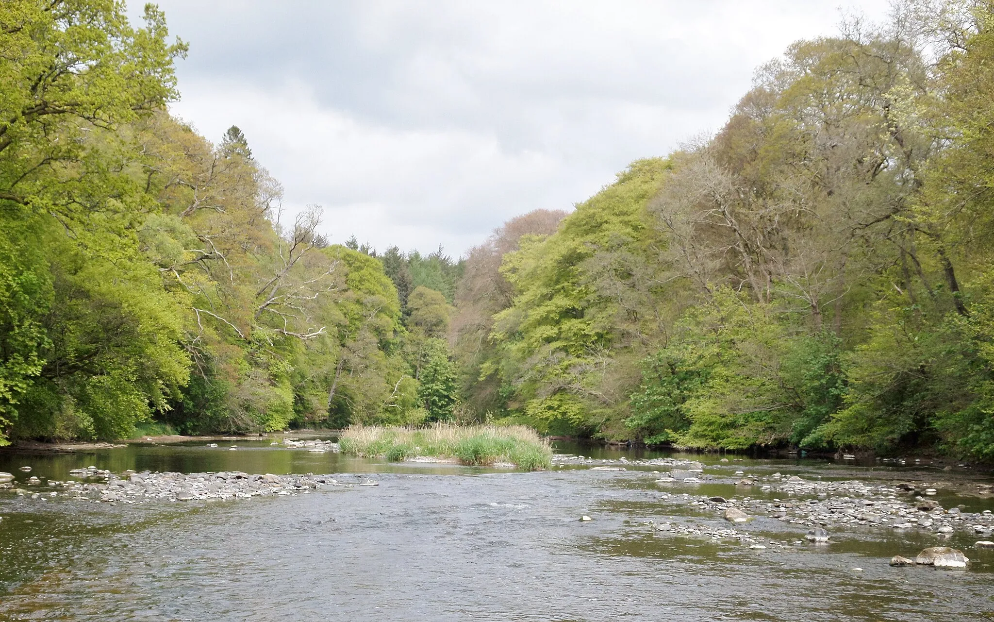
FailfordVillageFailford, situated along the route, provides a peaceful escape with its picturesque riverside views.
84 km
84 km
Finish: Coylton Village centerCoylton: Cycling through the tranquil countryside of Coylton
Cycling routes nearby: