Drongan Loop
A road cycling route starting from Mauchline
A scenic road cycling route passing through Drongan.
Map
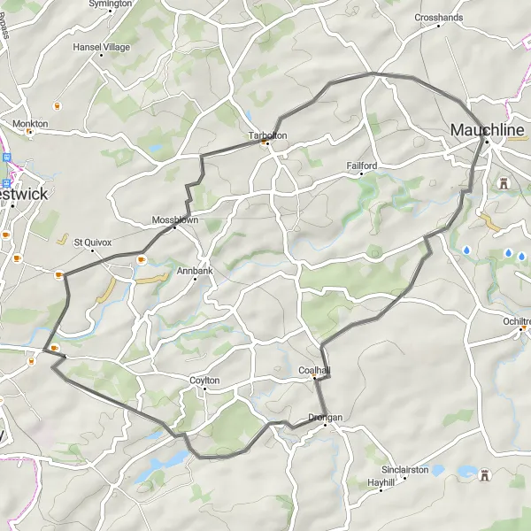
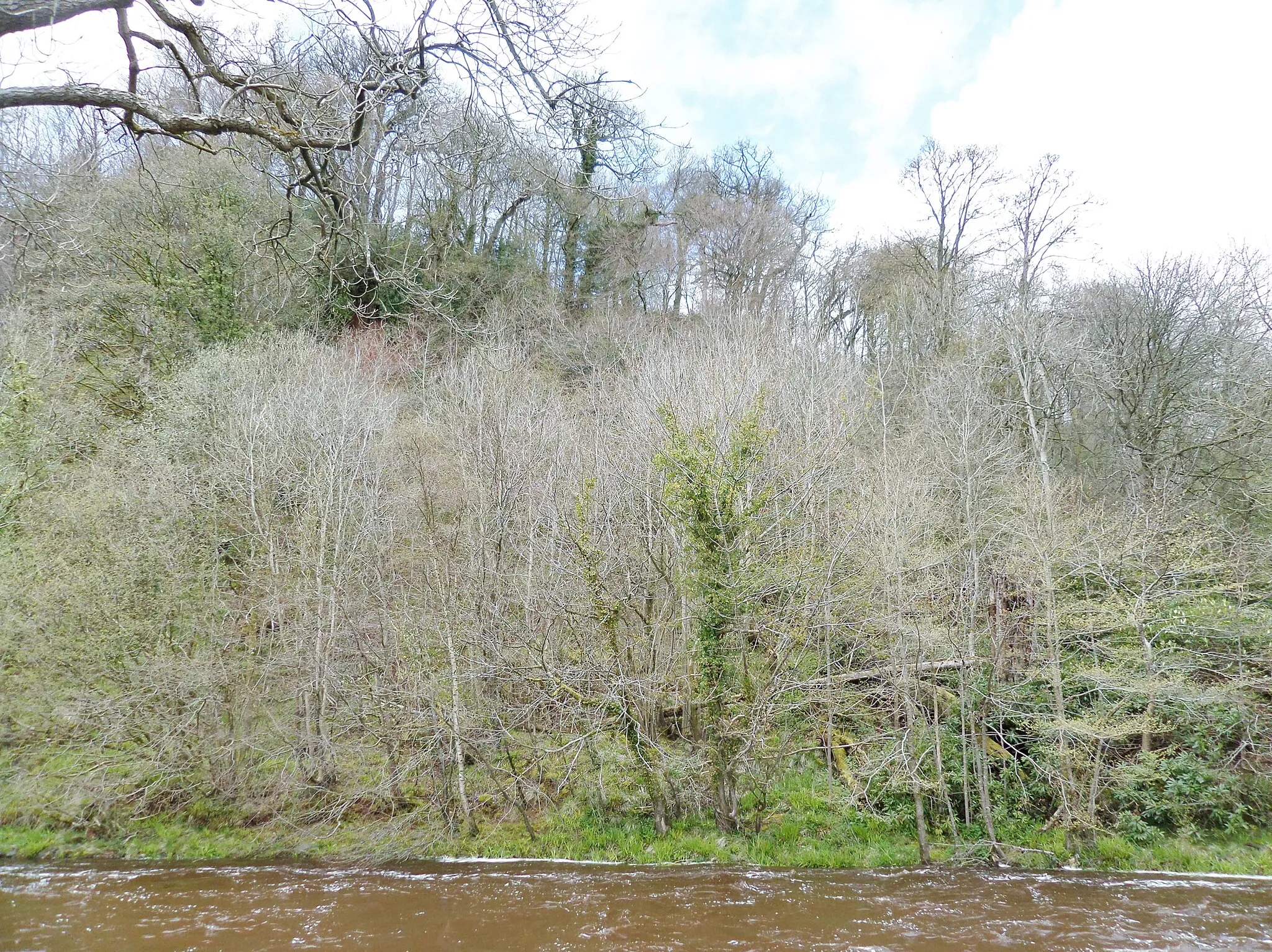
The Drongan Loop is a scenic road cycling route starting near Mauchline. With a distance of 43 km and an ascent of 425 meters, this route offers a relatively easy and enjoyable ride for cyclists of all levels. Starting in Mauchline, the route passes through the village of Drongan, showcasing the beautiful Scottish countryside. Cyclists can take in the views of Mossblown and explore the historic landmarks along the way. The Drongan Loop provides a peaceful and refreshing cycling experience for riders seeking a shorter route.
road
43 km
425 m
Chill
Route profile
Highlights on the route
0 km
0 km
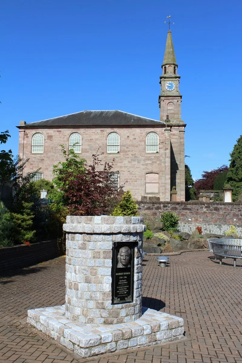
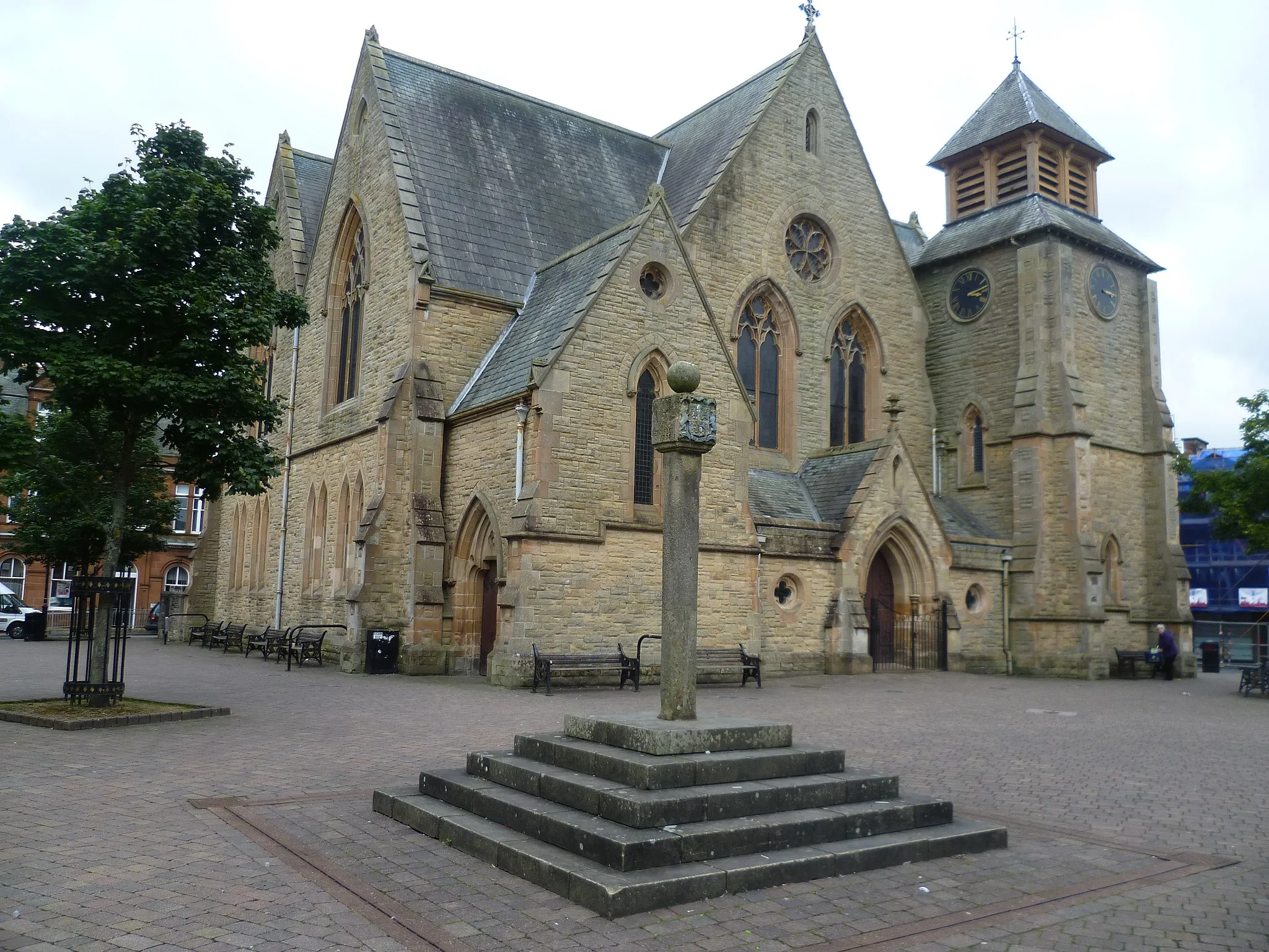
Start: Mauchline City centerMauchline: Cycling through the tranquil landscapes of Mauchline.
Mauchline is a small locality located in Southern Scotland. From a cyclist's perspective, Mauchline offers scenic routes surrounded by beautiful countryside. The roads are generally quiet and well-maintained, making it a suitable destination for road cycling. One of the highlights for cyclists in Mauchline is the nearby climb up The Brigg. This challenging ascent offers stunning views of the surrounding landscape. Overall, Mauchline provides a pleasant and peaceful cycling experience.0 km
0 km
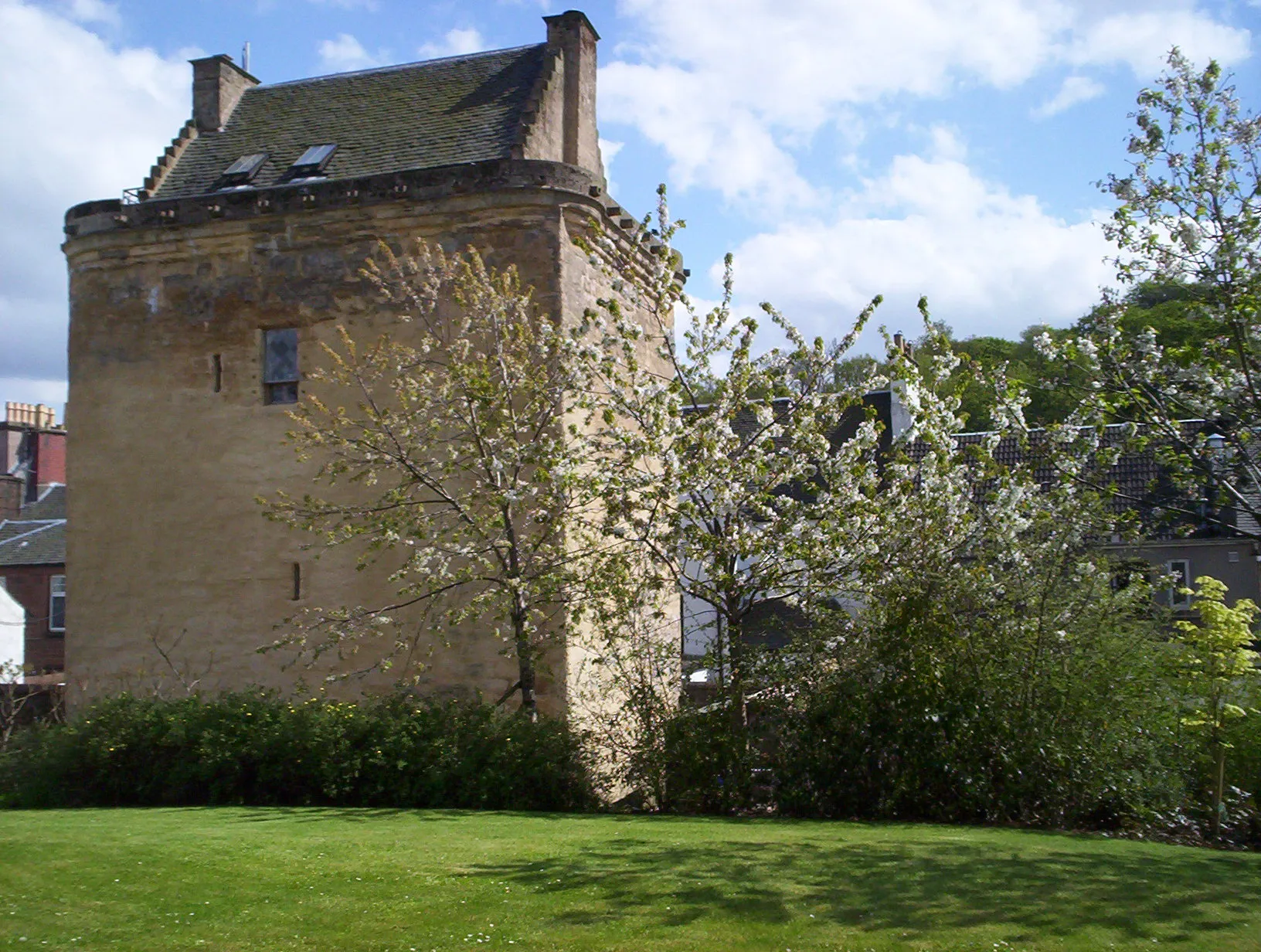
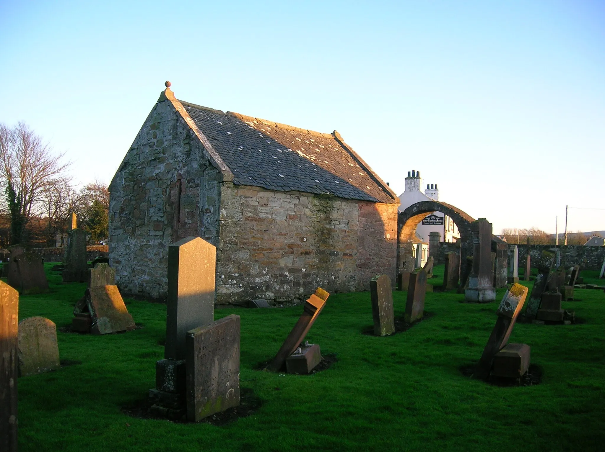
Mauchline CastleCastleBegin your journey at Mauchline Castle, a historical landmark.
12 km
12 km
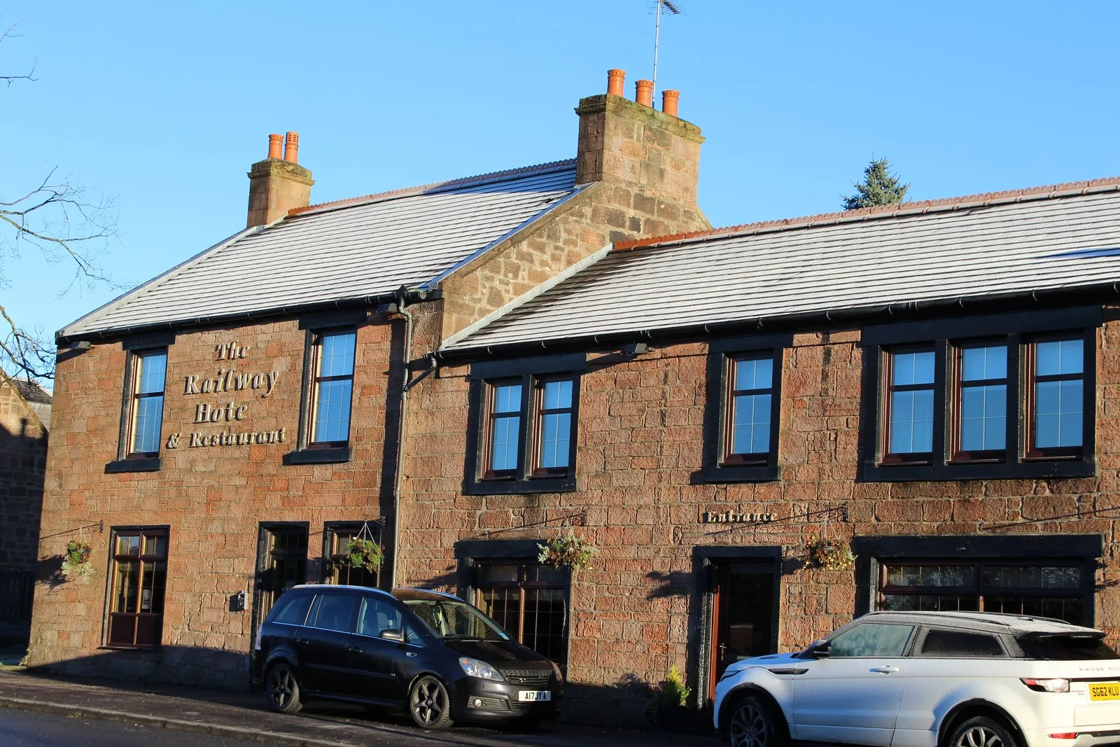
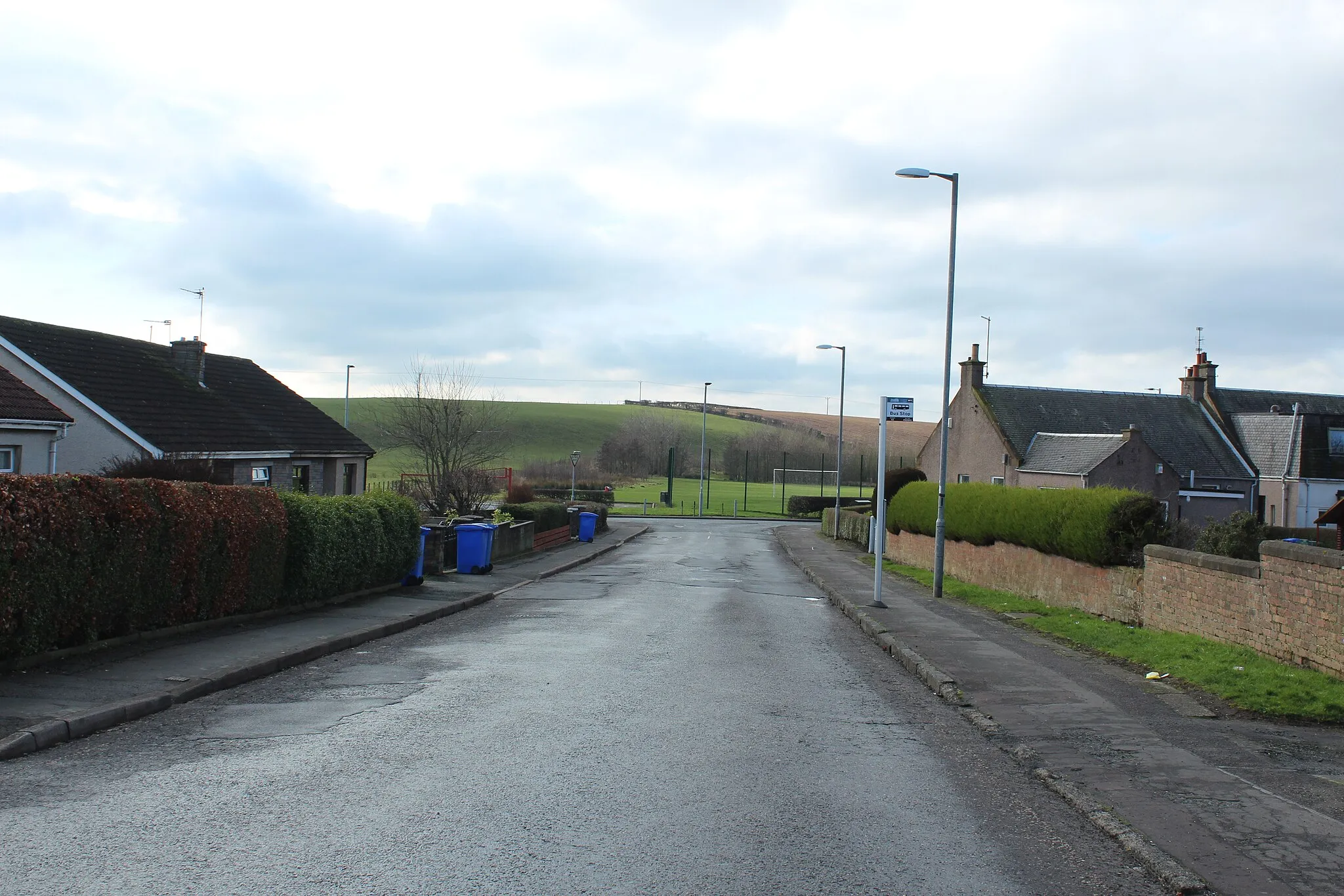
DronganVillagePass through the charming village of Drongan and admire the beautiful surroundings.
29 km
29 km
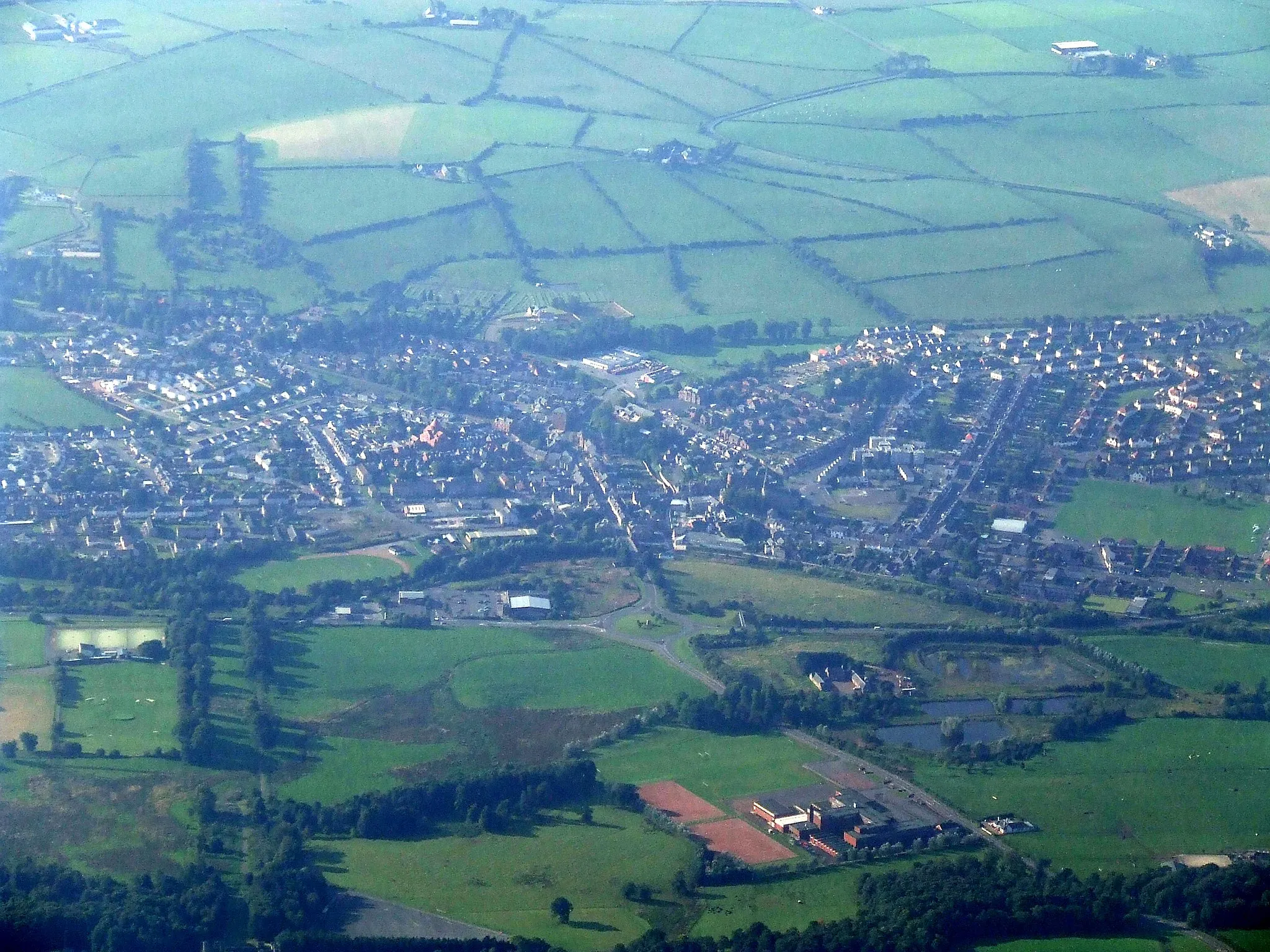
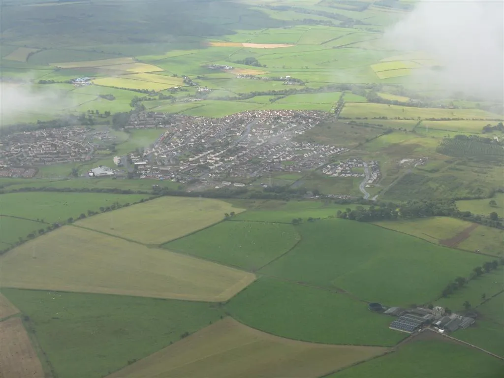
MossblownVillageEnjoy the scenic views of Mossblown during your ride.
43 km
43 km
MauchlineTownStart and end your cycling adventure in Mauchline, a town rich in heritage.
43 km
43 km
Finish: Mauchline City centerMauchline: Cycling through the tranquil landscapes of Mauchline.
Cycling routes nearby: