Stewarton Loop
A road cycling route starting from Mauchline
A challenging road cycling route through picturesque landscapes.
Map
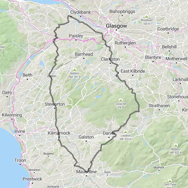
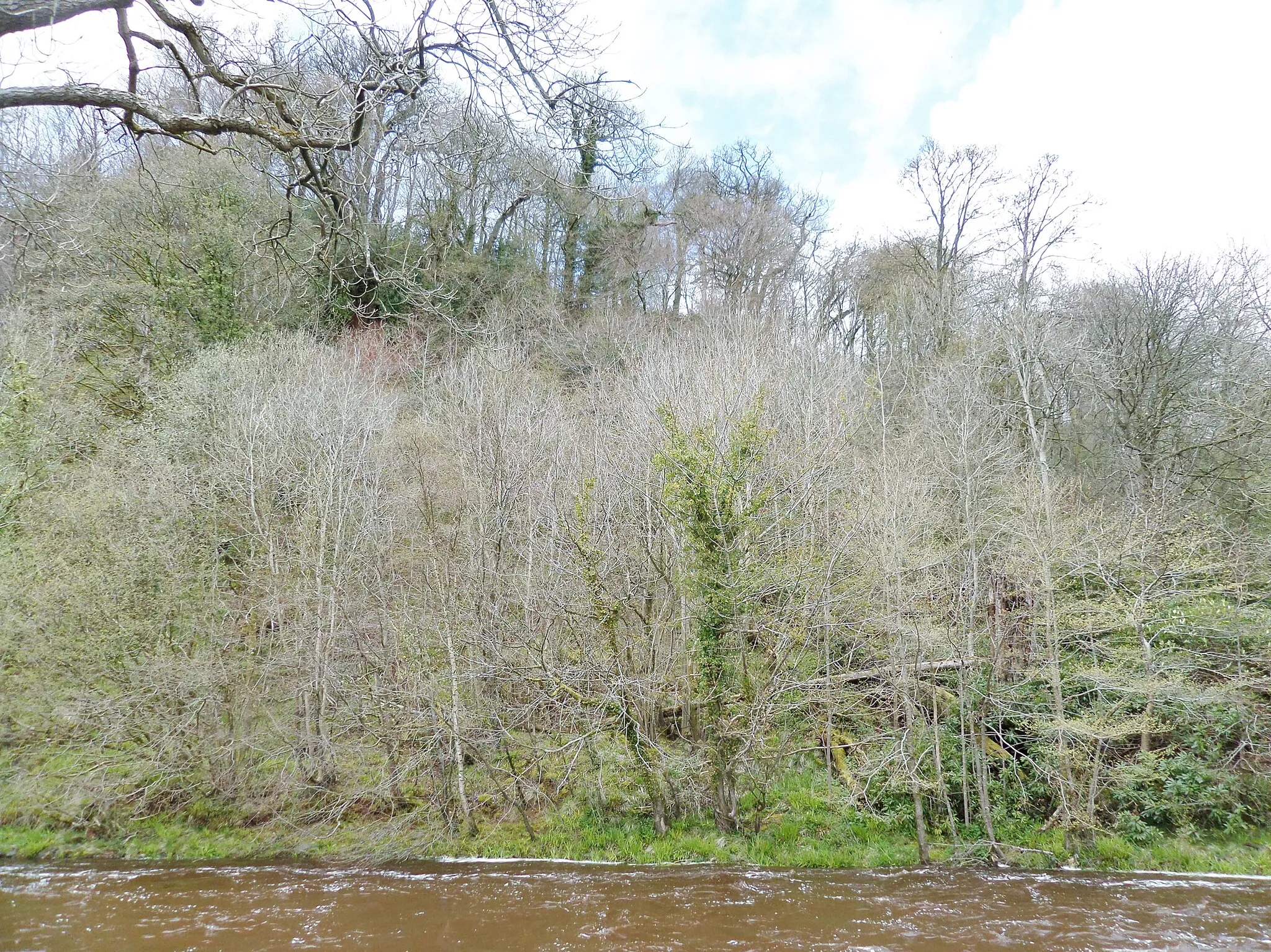
The Stewarton Loop is a challenging road cycling route starting near Mauchline. With a distance of 125 km and an ascent of 1251 meters, this route is suitable for experienced cyclists seeking a more demanding ride. Starting in Mauchline, the route takes riders through the scenic landscapes of Stewarton, Lugton, and Johnstone. Cyclists can enjoy breathtaking views from Aidans Brae Viewpoint and explore vibrant towns like Busby. Harelea Hill and Priestland provide additional climbs for those seeking epic cycling experiences. The Stewarton Loop offers a true test of endurance and rewards cyclists with stunning scenery along the way.
road
125 km
1251 m
Savage
Route profile
Highlights on the route
0 km
0 km
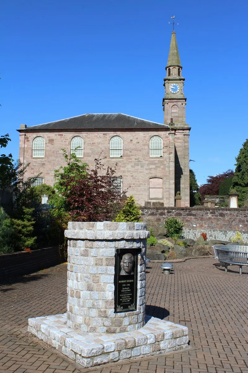
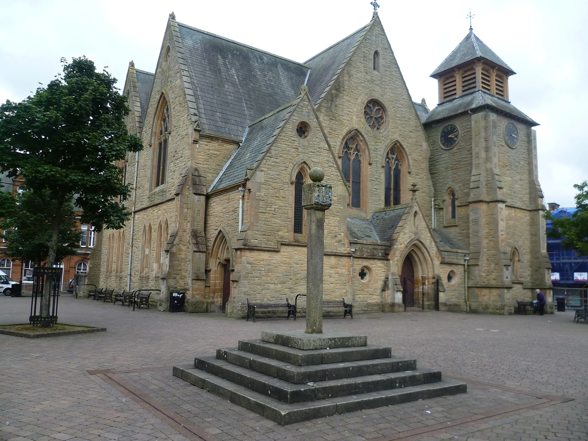
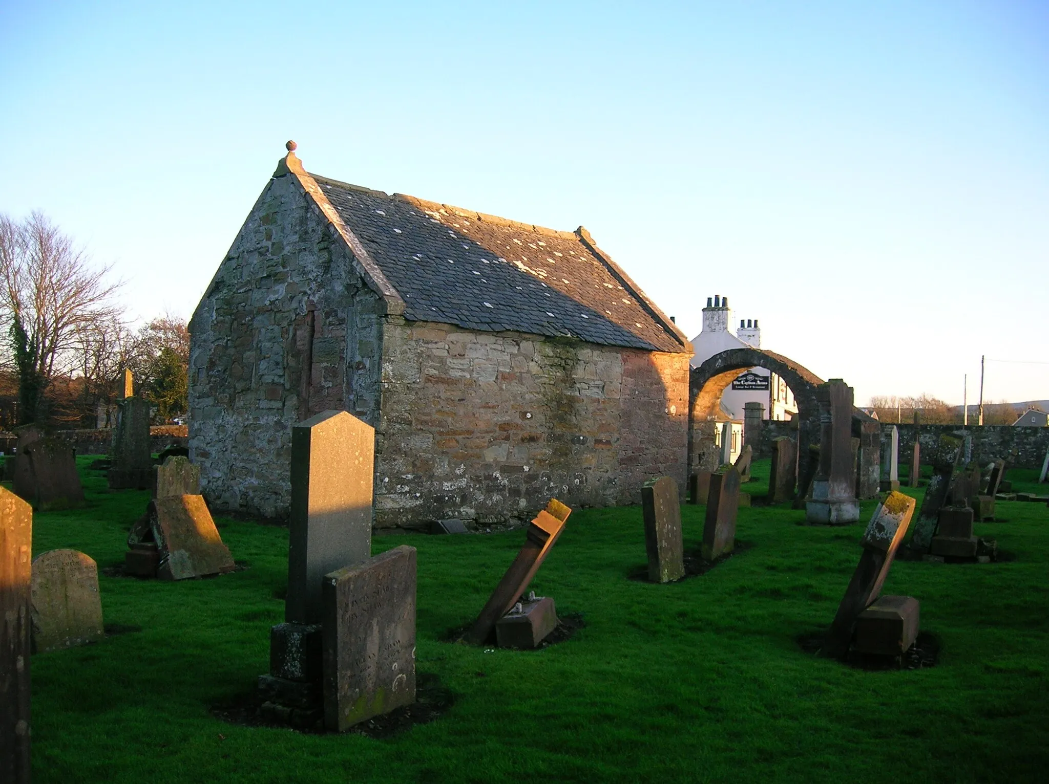
Start: Mauchline City centerMauchline: Cycling through the tranquil landscapes of Mauchline.
Mauchline is a small locality located in Southern Scotland. From a cyclist's perspective, Mauchline offers scenic routes surrounded by beautiful countryside. The roads are generally quiet and well-maintained, making it a suitable destination for road cycling. One of the highlights for cyclists in Mauchline is the nearby climb up The Brigg. This challenging ascent offers stunning views of the surrounding landscape. Overall, Mauchline provides a pleasant and peaceful cycling experience.0 km
0 km
MauchlineTownStart and end your journey in Mauchline, a historic town.
24 km
24 km
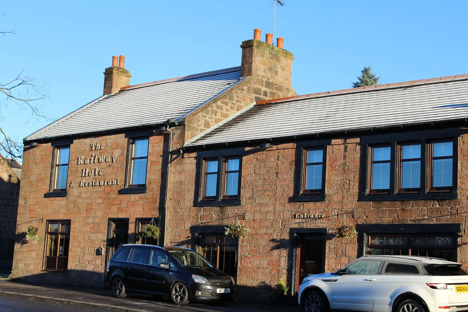
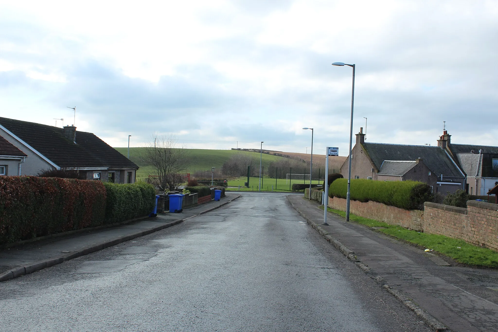
StewartonTown'Ride through Stewarton and enjoy the picturesque landscapes.
32 km
32 km
LugtonVillageExperience the scenic village of Lugton during your ride.
45 km
45 km
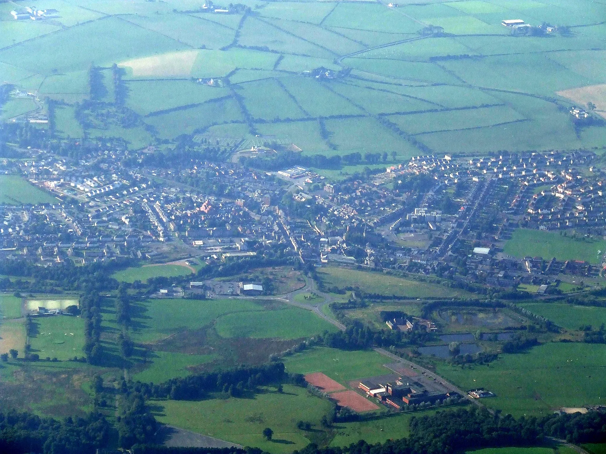
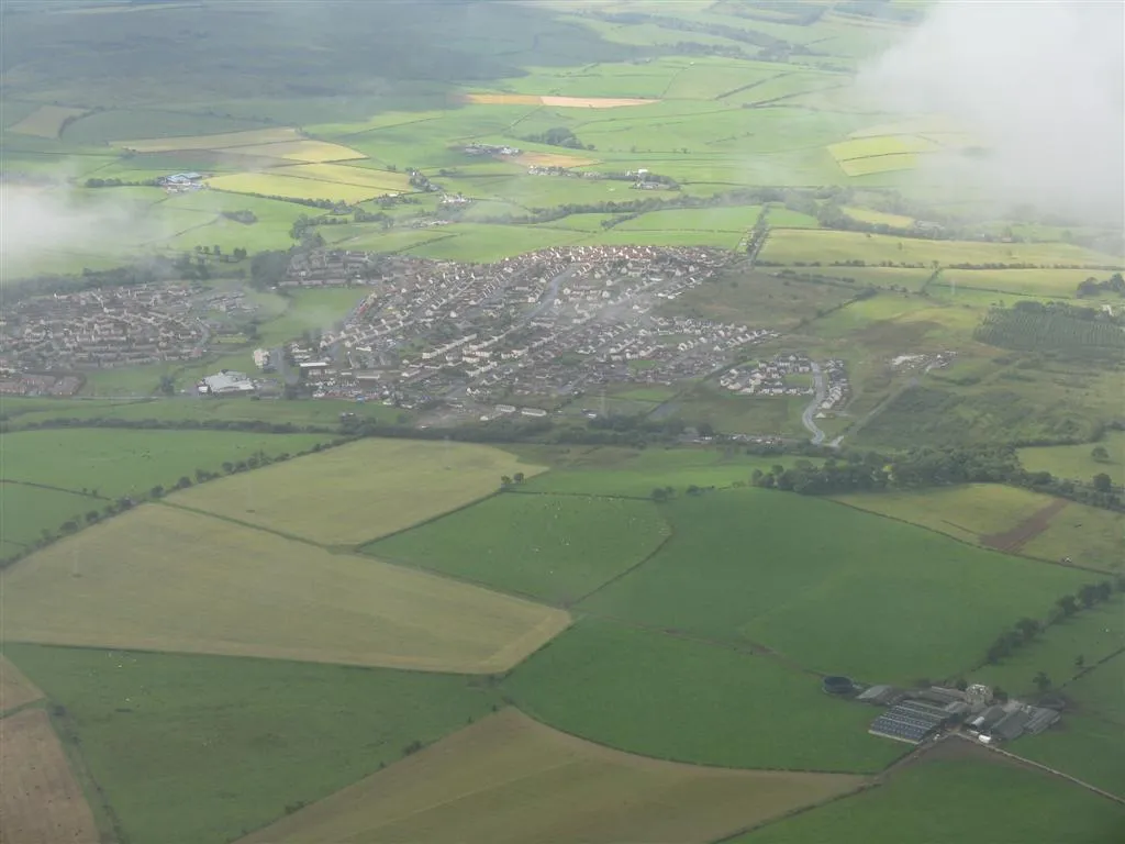
JohnstoneTownPass through Johnstone and discover its vibrant atmosphere.
76 km
76 km
Aidans Brae ViewpointViewpointEnjoy breathtaking views from Aidans Brae Viewpoint.
78 km
78 km
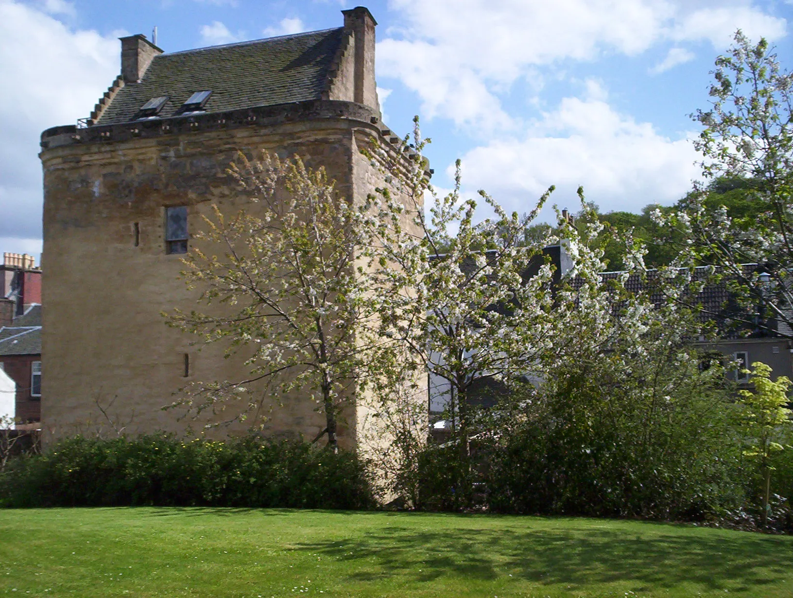
BusbyVillageExplore Busby, a vibrant town in East Renfrewshire.
105 km
105 km
Harelea Hill256 mPeakConquer the challenging climb of Harelea Hill.
109 km
109 km
PriestlandVillageExperience the epic ascent of Priestland for a legendary ride.
125 km
125 km
Finish: Mauchline City centerMauchline: Cycling through the tranquil landscapes of Mauchline.
Cycling routes nearby: