The Surrey Hills Loop
A road cycling route starting from Warlingham
Ride through the picturesque countryside of Surrey Hills
Map

The Surrey Hills Loop is a distinctive and scenic cycling route that takes you through the breathtaking countryside of Surrey, East, and West Sussex. With a total distance of 69 kilometers and an elevation gain of 678 meters, this road cycling route offers a challenging yet rewarding experience for well-trained amateur cyclists. The route starts near Warlingham and takes you through charming villages, rolling hills, and stunning landscapes.
road
69 km
678 m
Tough
Route profile
Highlights on the route
0 km
0 km
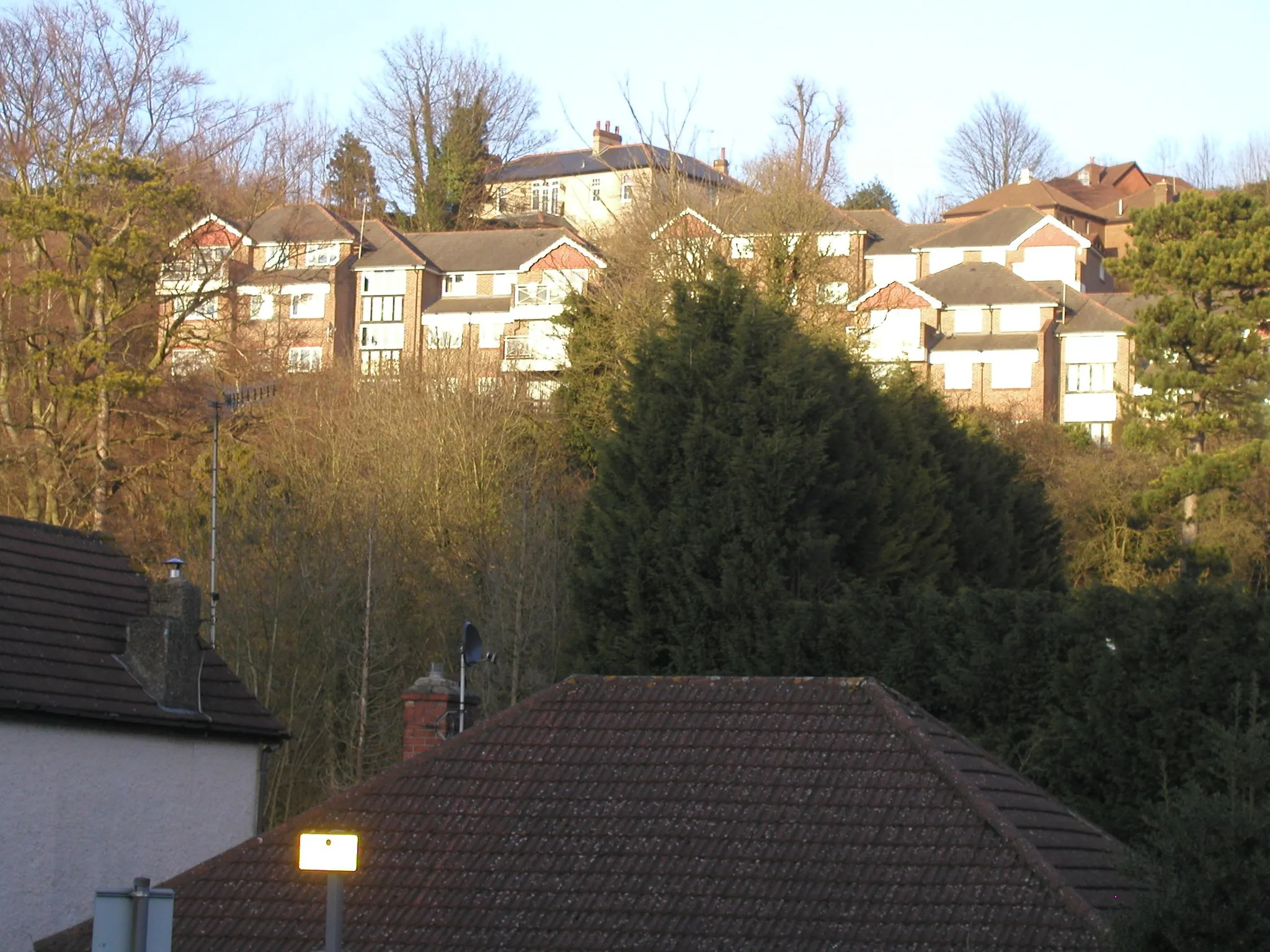
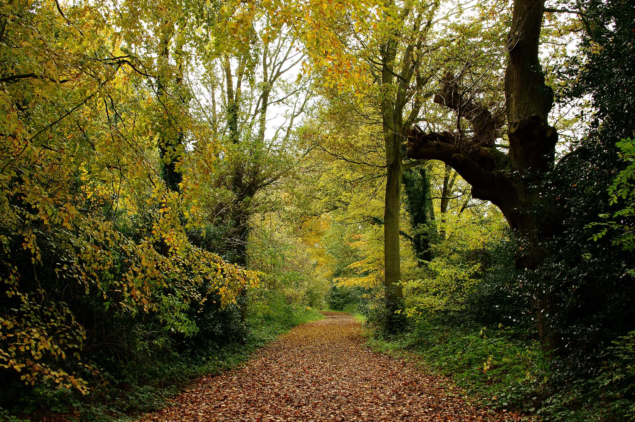
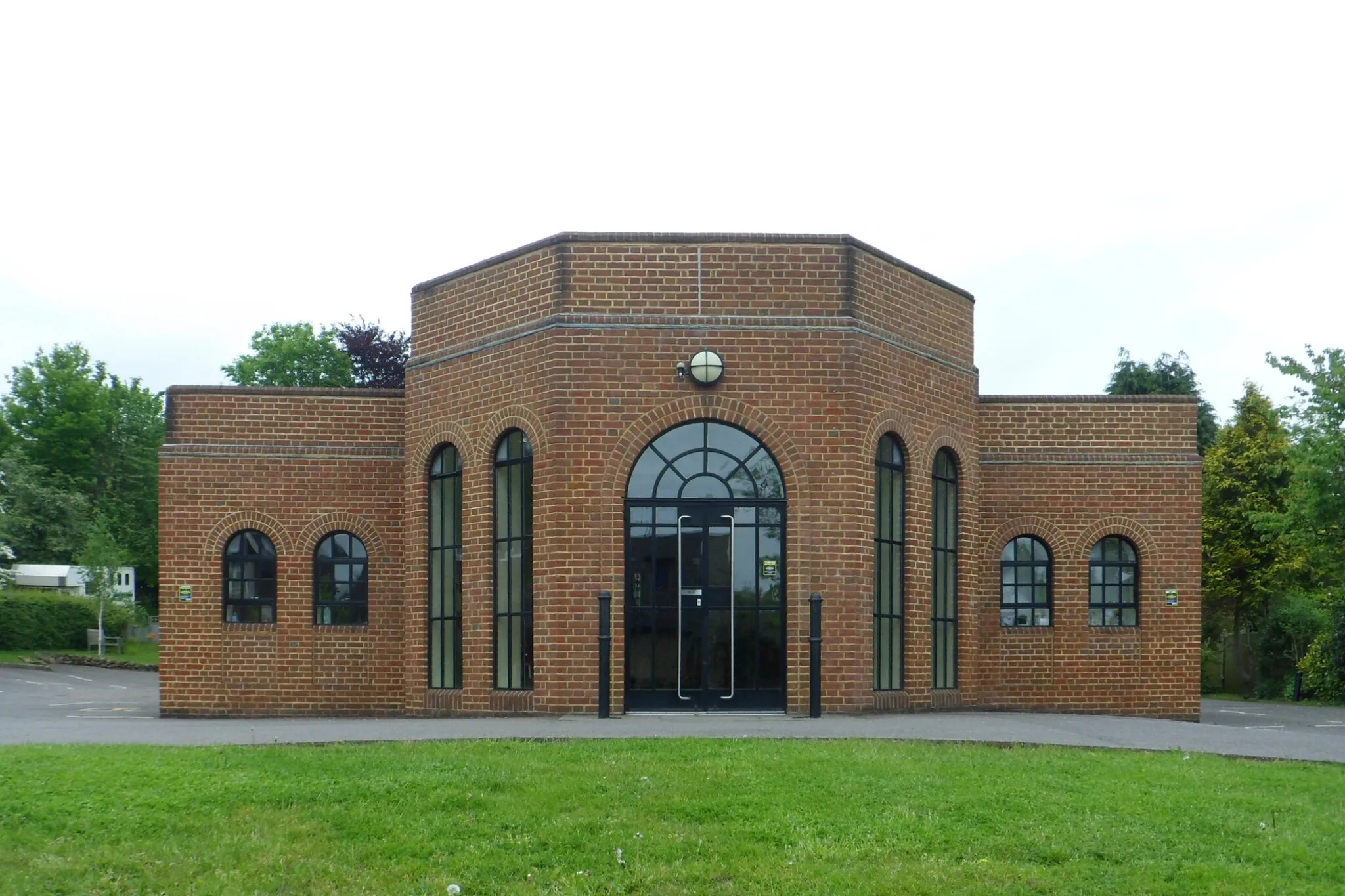
Start: Warlingham City centerWarlingham: Epic cycling and breathtaking scenery in Warlingham
Warlingham, located in Surrey, East and West Sussex, United Kingdom, is a haven for road and gravel cyclists. The locality offers a mix of challenging climbs and scenic routes that wind through beautiful countryside and quaint villages. Cyclists can enjoy the rolling hills, picturesque valleys, and panoramic views as they explore the area. One of the highlights for cyclists is the iconic climbs in the South Downs, including Ditchling Beacon. Warlingham is a must-visit destination for cyclists looking for exhilarating rides and stunning landscapes.0 km
0 km
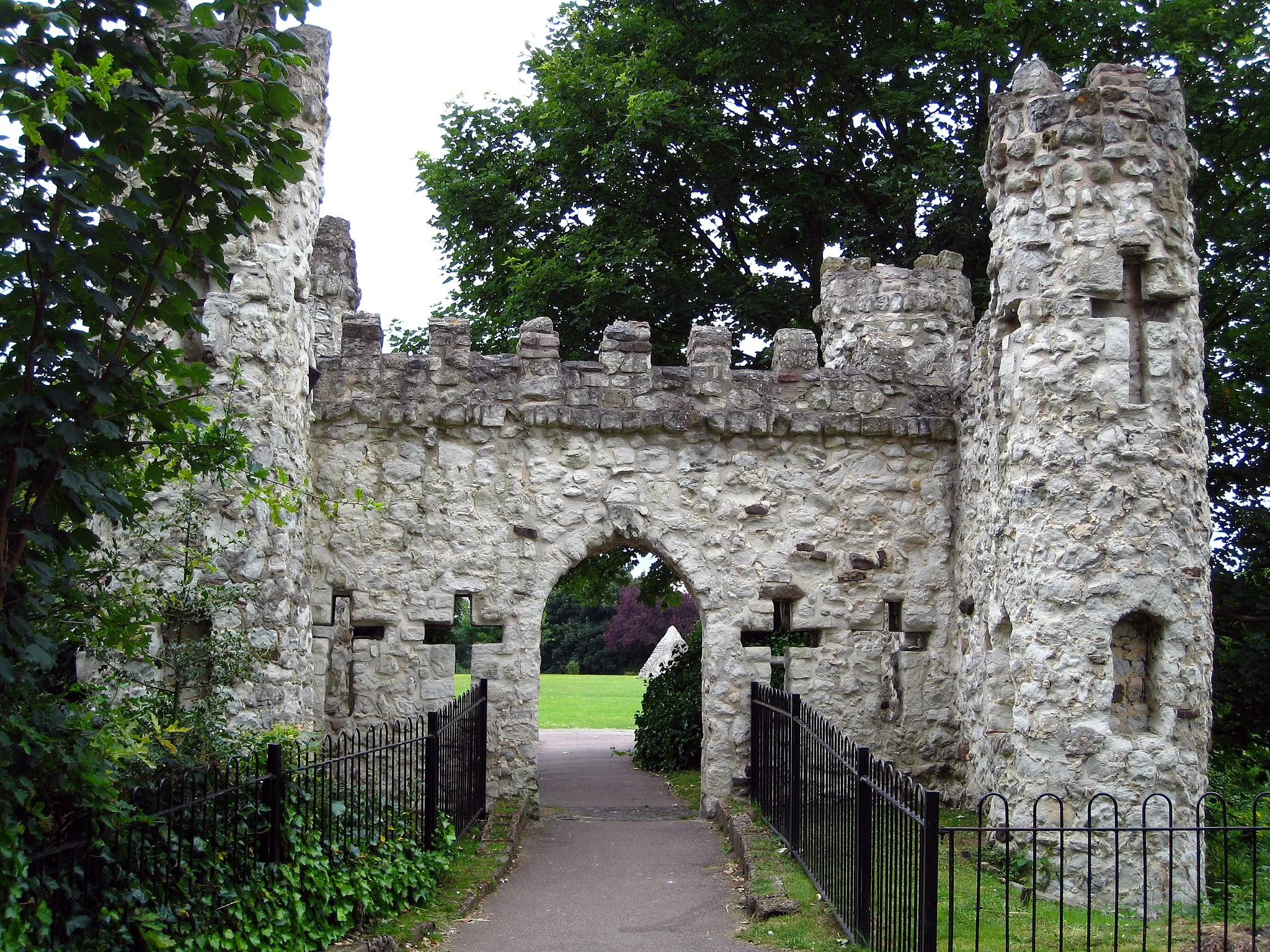
WarlinghamTownWarlingham, the starting point of the route, offers beautiful views of the surrounding hills and countryside.
12 km
12 km
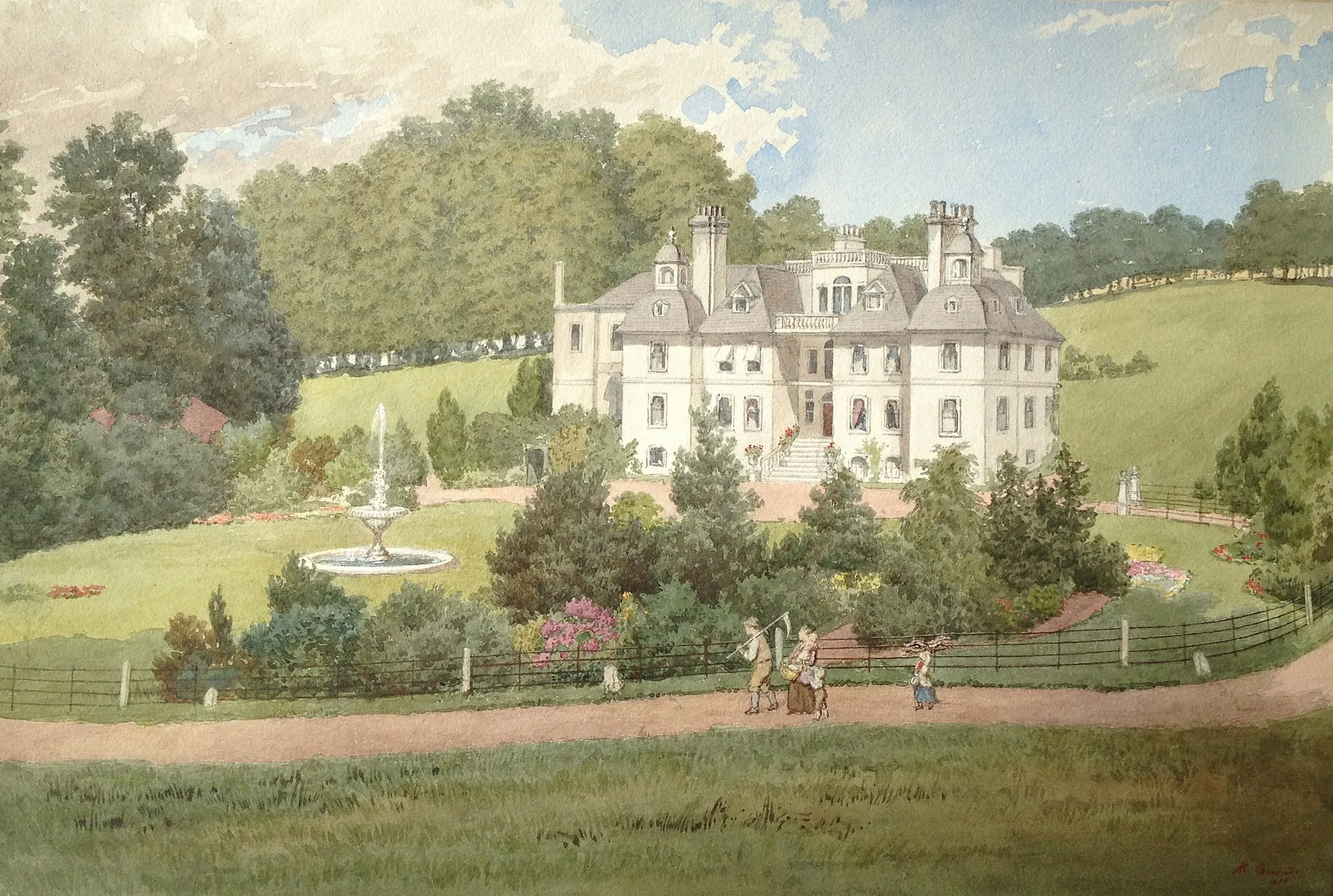
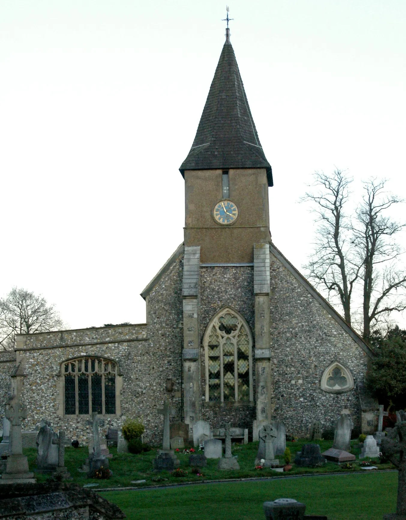
South GodstoneVillageSouth Godstone is a quaint village with historic buildings and a scenic countryside atmosphere.
30 km
30 km
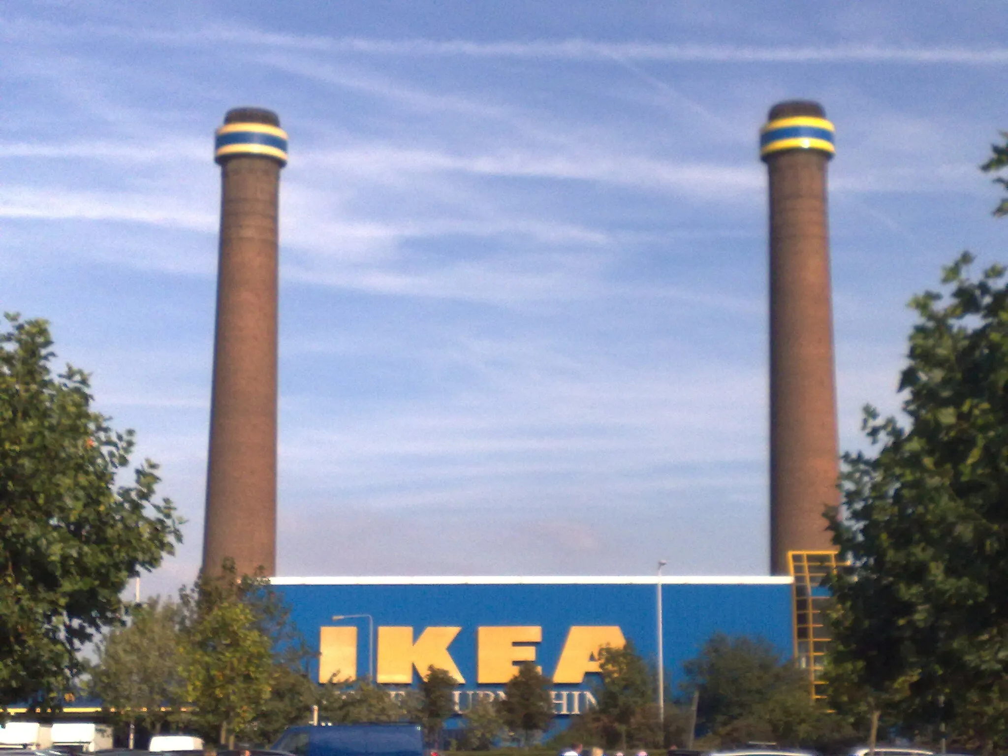
CrawleyTownCrawley is known for its cycling-friendly routes and offers a mix of urban and rural landscapes.
48 km
48 km
ReigateTownReigate, located at the foot of the North Downs, is a popular destination for cyclists due to its challenging climbs and stunning views.
60 km
60 km
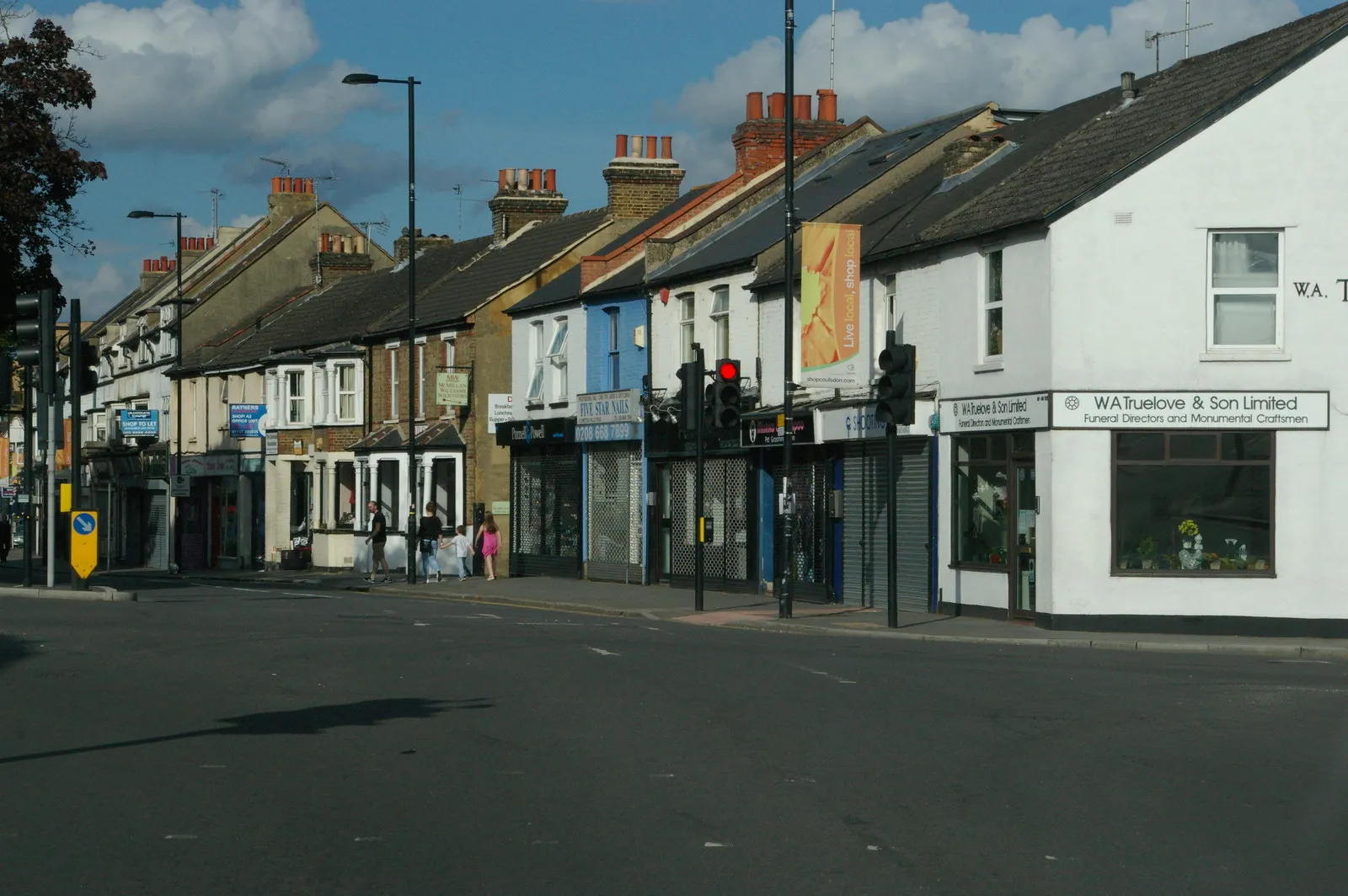
CoulsdonTownCoulsdon is surrounded by beautiful nature reserves and provides a peaceful cycling experience.
66 km
66 km
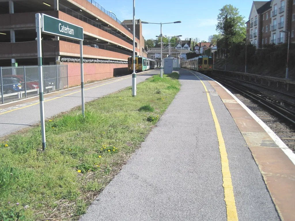
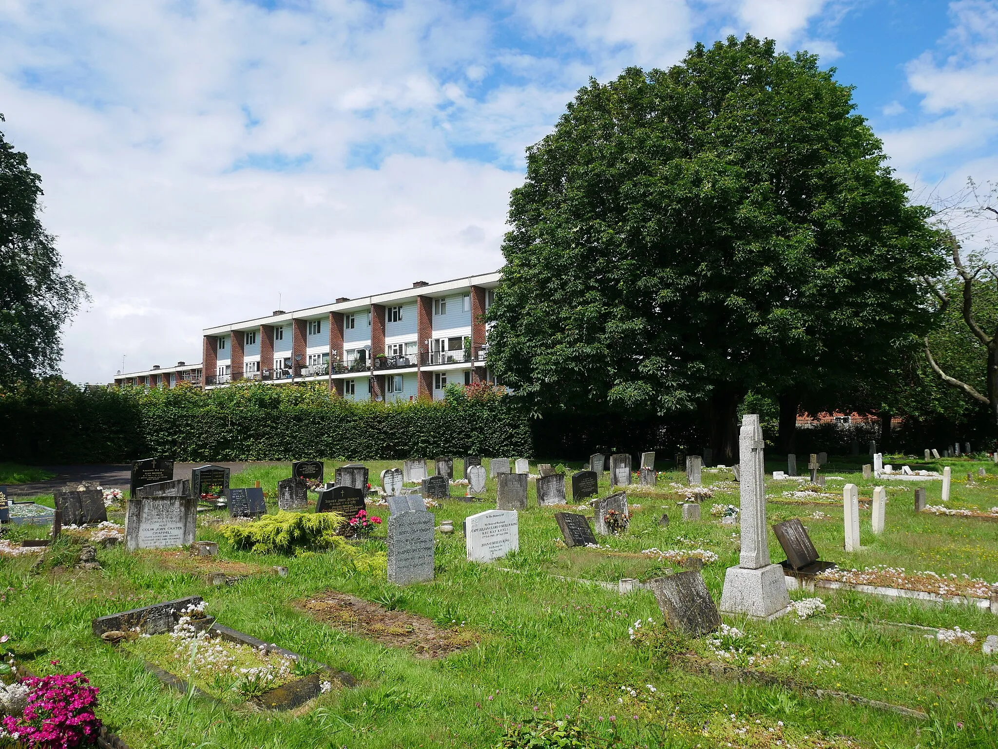
WhyteleafeSub-urbWhyteleafe is a small village with lush greenery and scenic spots along the cycling route.
69 km
69 km
Finish: Warlingham City centerWarlingham: Epic cycling and breathtaking scenery in Warlingham
Cycling routes from Warlingham:
Cycling routes nearby: