The Kilpatrick Hills and Strathblane
A gravel cycling route starting from Erskine
Explore the ancient Kilpatrick Hills and cycle through the charming village of Strathblane.
Map
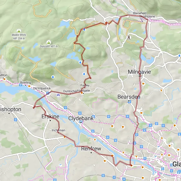
This challenging 51 km gravel route takes you through beautiful landscapes, including the Kilpatrick Hills and the village of Strathblane. With 622 meters of ascent, it is a thrilling adventure for gravel enthusiasts. The route offers stunning views and a mix of gravel and asphalt roads, providing a diverse and exciting cycling experience.
gravel
51 km
622 m
Tough
Route profile
Highlights on the route
0 km
0 km
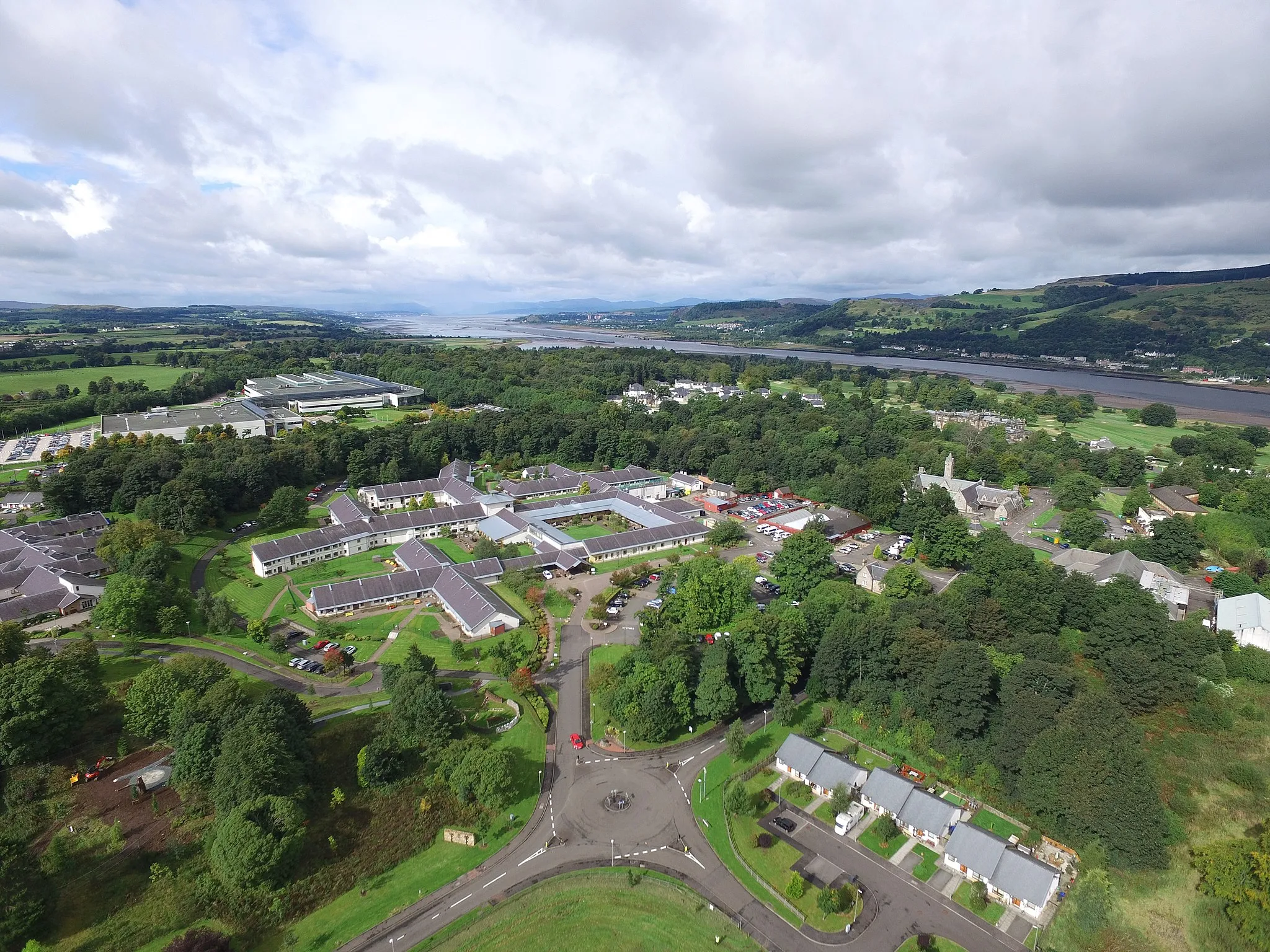
Start: Erskine City centerErskine: Cycling through scenic landscapes and near Loch Lomond
Erskine is a locality located in the West Central Scotland region in the United Kingdom. From a cyclist's perspective, Erskine offers diverse cycling routes through picturesque landscapes. The roads in the area are generally well-maintained, making it suitable for road cycling. Additionally, the locality is close to Loch Lomond and The Trossachs National Park, offering plenty of opportunities for gravel cycling and exploring the surrounding nature. One of the famous cycling spots nearby is the Duke's Pass, a challenging climb known for its stunning views and presence in professional cycling races.4 km
4 km
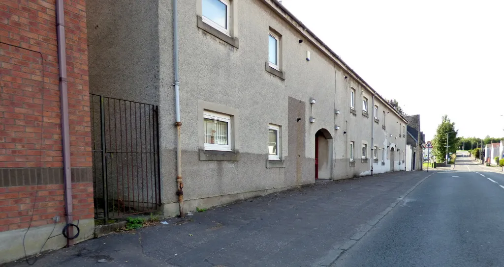
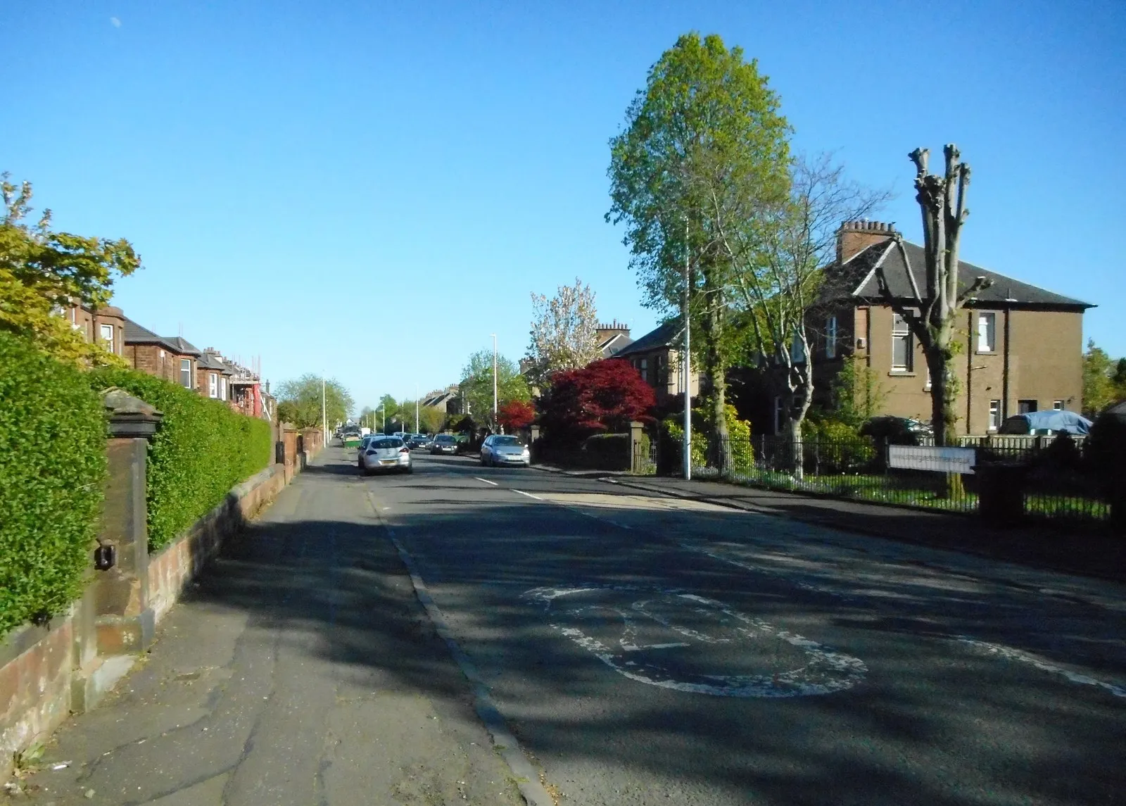
Old KilpatrickVillageVisit the historic village of Old Kilpatrick, known for its rich history and beautiful architecture.
13 km
13 km
Dunellan342 mPeakStop by Dunellan, a scenic spot surrounded by nature, offering great photo opportunities.
24 km
24 km
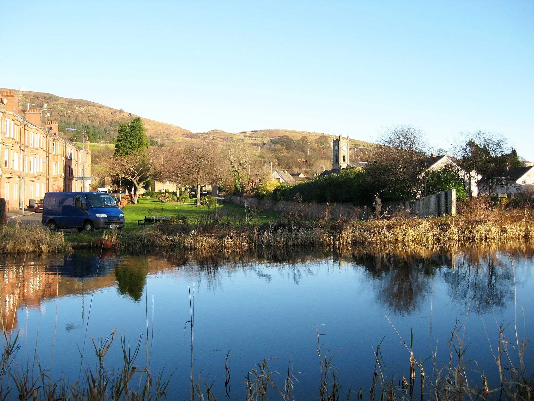
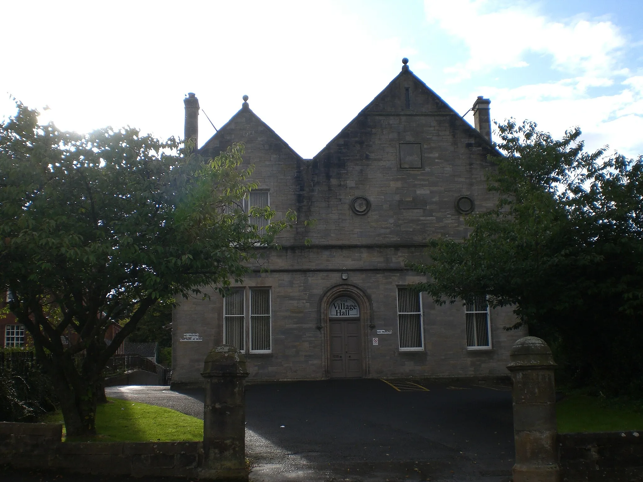
StrathblaneVillageCycle through picturesque Strathblane, a village nestled in the scenery of the Campsie Fells.
30 km
30 km
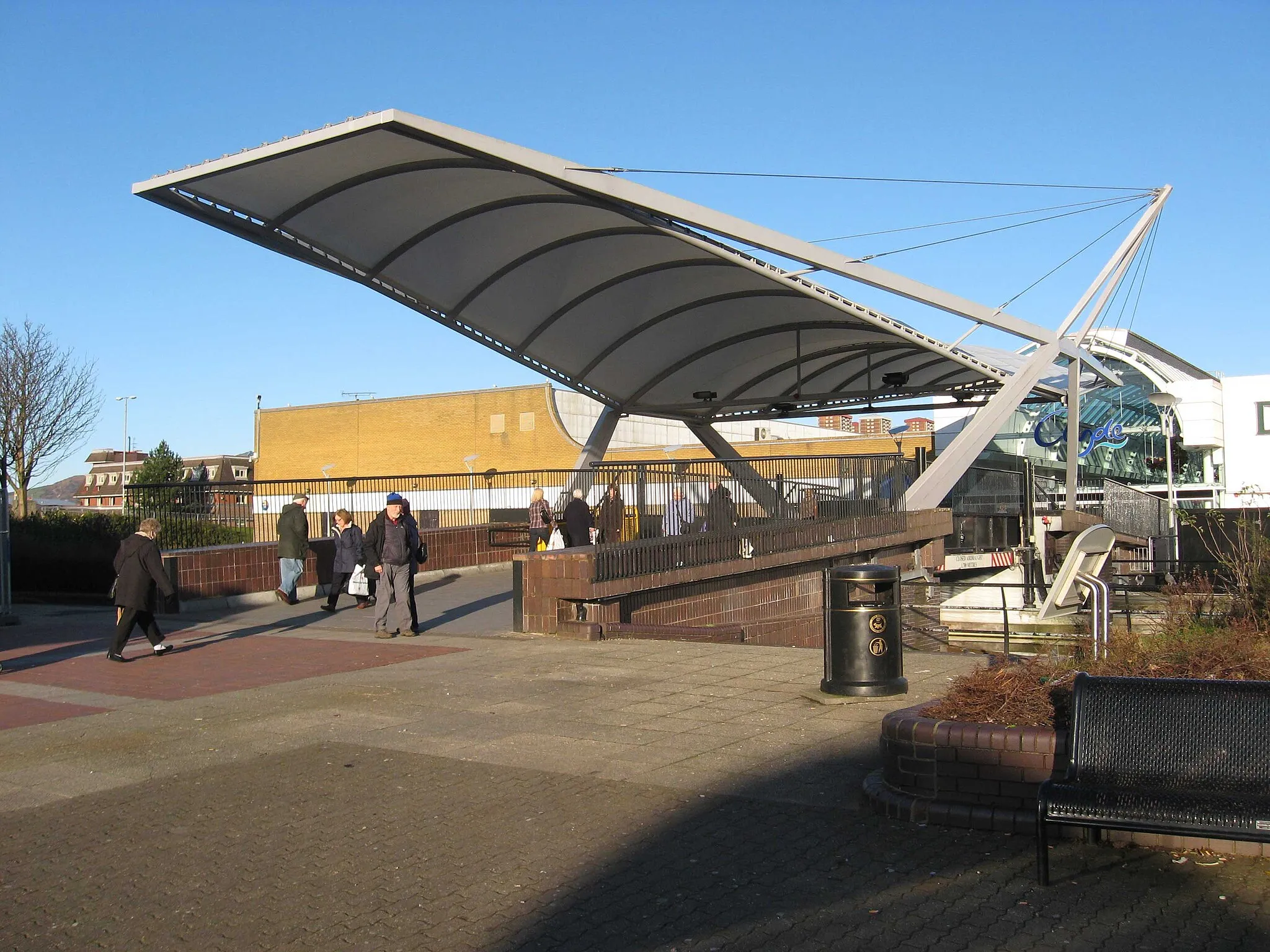
MilngavieTownPass through Milngavie, the starting point of the West Highland Way, Scotland's most famous long-distance hiking trail.
50 km
50 km
Park MainsSub-urbEnjoy a break at Park Mains, a popular spot with facilities for cyclists and beautiful surroundings.
51 km
51 km
Finish: Erskine City centerErskine: Cycling through scenic landscapes and near Loch Lomond
Cycling routes from Erskine:
Nature's Trail: Erskine to Giffnock Countryside Escape: Erskine to Kilwinning Scenic Route: Erskine to Bridge of Weir The Kilpatrick Hills and Strathblane Trough of Bowland Gravel Adventure Coastal Adventure: Erskine to Kilmarnock South Lanarkshire Countryside Historic Scotland: Erskine to Eaglesham The Trossachs Explorer Glasgow Green and River Clyde
Cycling routes nearby: