Grusvejscykelrute med 2012 meters stigning og 83 km længde
En gravel cykelrute, der starter fra Ogijares
Et spændende eventyr gennem landskabet nær Gójar
Kort

Denne grusvejscykelrute byder på en udfordrende stigning med 2012 meter på kun 83 km. Undervejs passerer du smukke steder som Cerro Domingo og Cerro de la Venta. En fantastisk måde at udforske området på.
gravel
83 km
2012 m
Svær
Ruteprofil
Højdepunkter på ruten
0 km
0 km
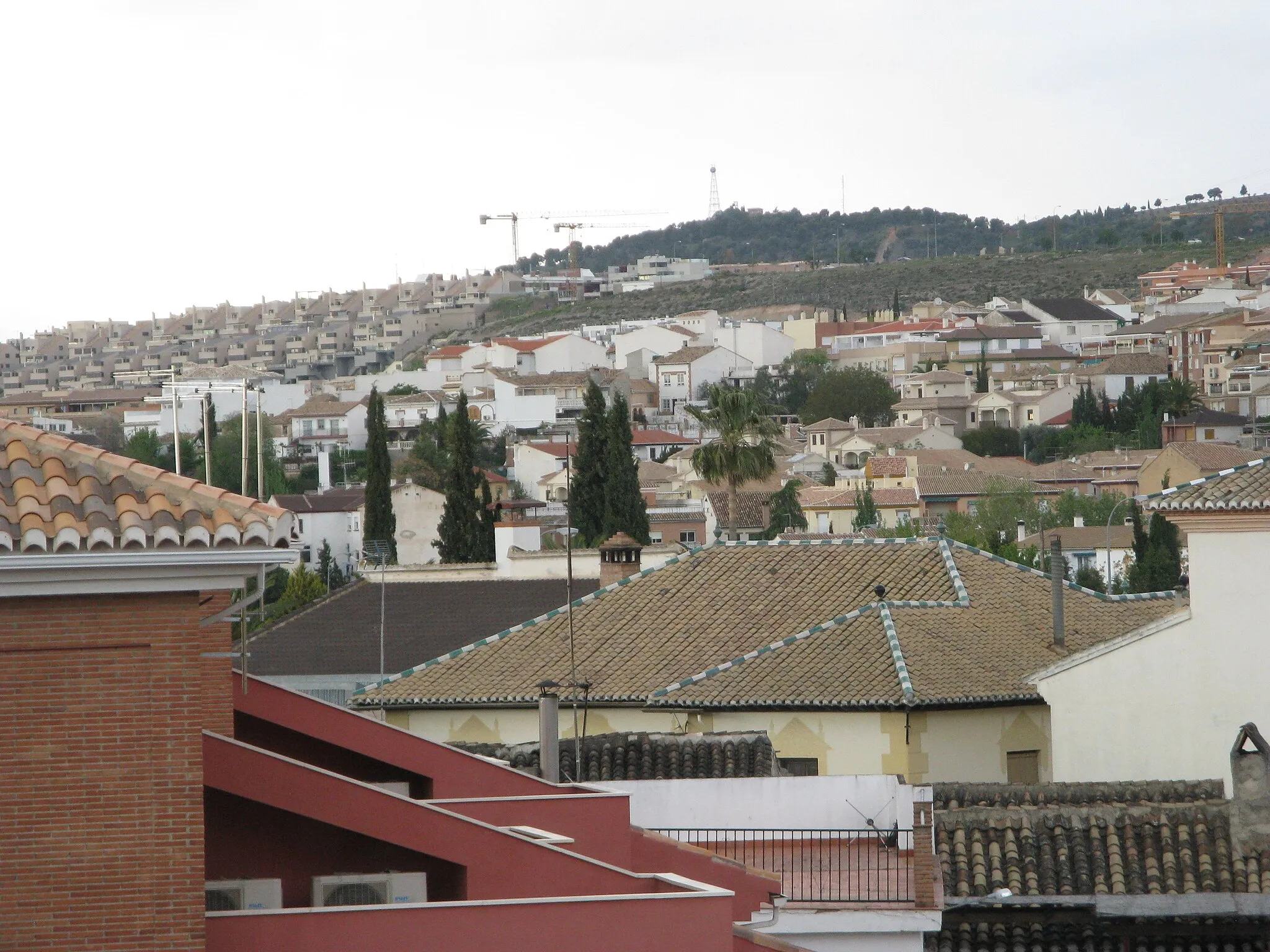
Start: Ogíjares City centerOgíjares: Malerisk by med smukke cykelruter
Ogíjares er en malerisk by i Andalucía, Spanien, der tilbyder adgang til flere smukke cykelruter i nærheden. Med sit rolige og afslappede miljø er det et ideelt sted for en cykeltur væk fra byens larm. Der er også mulighed for at udforske nogle interessante cykelstigninger i det omkringliggende område, hvilket gør det til et populært valg for cyklister.1 km
1 km
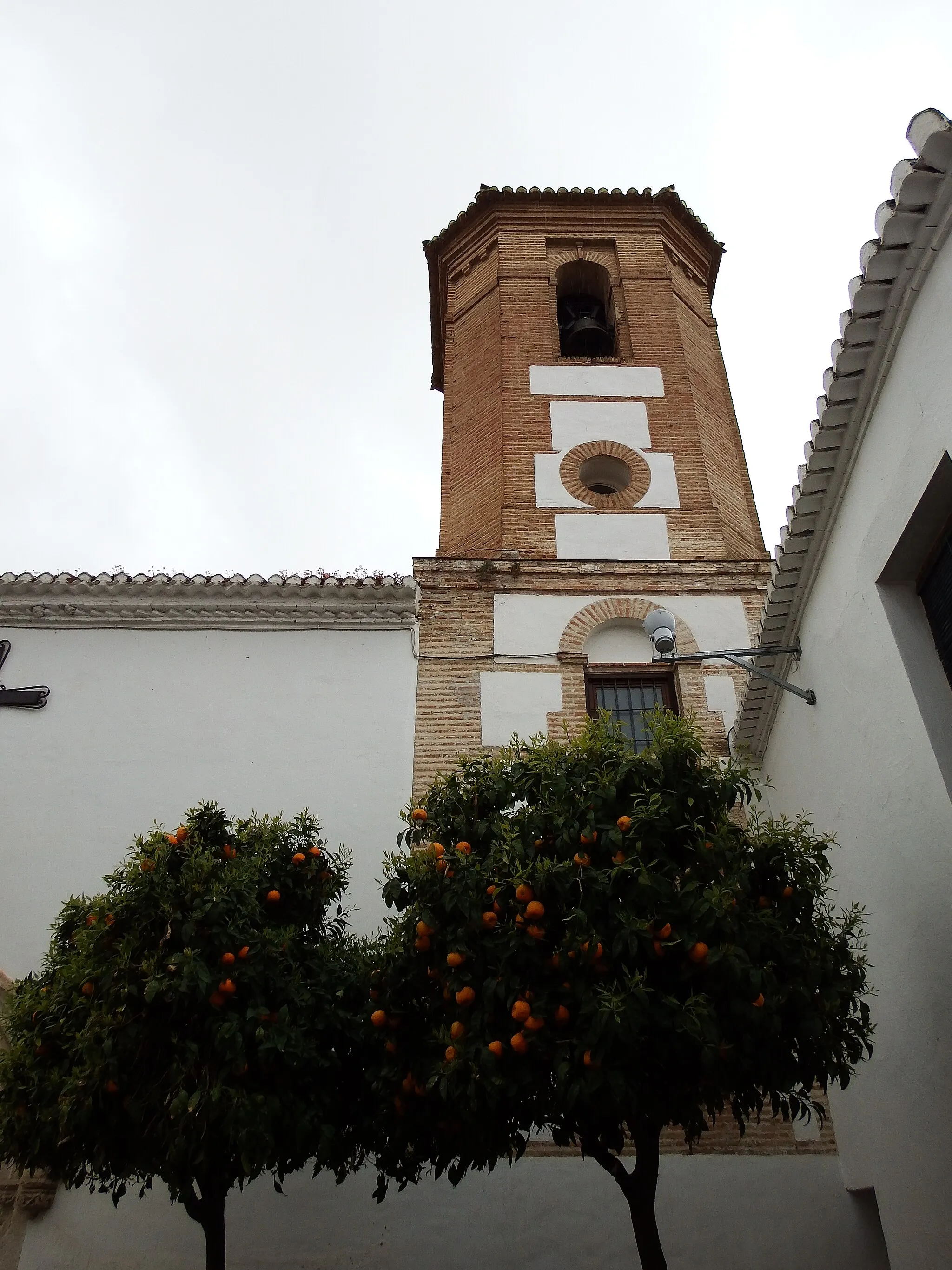
GójarLandsbyTag et pust ved sjældne Gójar og lad dig fortrylle af den lokale atmosfære.
16 km
16 km
Cerro Domingo1468 mTopClimb the challenging Cerro Dominguis with breathtaking views awaiting you at the top.
38 km
38 km
SaleresLandsbyDiscover the hidden gem of Saleres nestled in the countryside with its unique charm.
52 km
52 km
Cerro de la Venta1391 mTopAscend the majestic Cerro de la Venta and feel like king of the mountain.
75 km
75 km
Cerro Parmilla825 mTopEnjoy the panoramic views from Cerro Parmilla and appreciate nature's beauty all around.
78 km
78 km
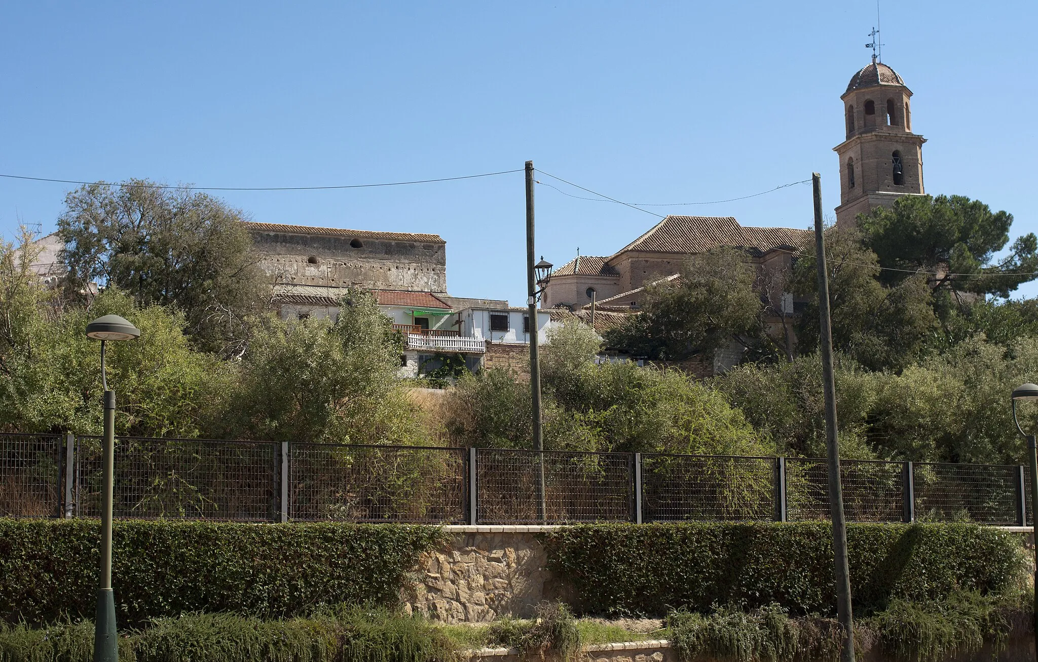
Villa de OturaLandsbyRest for a while in the quaint village of Villa de Otura, a perfect spot for a tranquil break.
83 km
83 km
Slut: Ogíjares City centerOgíjares: Malerisk by med smukke cykelruter
Cykelruter fra Ogijares:
Grusvej cykelrute fra Atarfe til San Nicolás Viewpoint Rundtur fra Ogíjares Grusvej cykelrute fra Ogíjares til Alcázar Genil Grusvejscykelrute med 485 meters stigning og 71 km længde Grusvejscykelrute med 2012 meters stigning og 83 km længde Banalcykelrute med 3041 meters stigning og 140 km længde Grusvej cykelrute fra Granada til Fuente de la Ninfa Vejcykelrute med 1198 meters stigning og 80 km længde Vejcykelrute med 650 meters stigning og 69 km længde Landevejscykelrute fra Gójar til Cerro Viñaero
Nærliggende cykelruter: