Exploratory Gravel Cycling Route near Sankt Andrä vor dem Hagenthale
Cyklistická trasa pro gravel začínající v Sankt Andrae vor dem Hagenthale
Immersive gravel journey with scenic highlights
Mapa
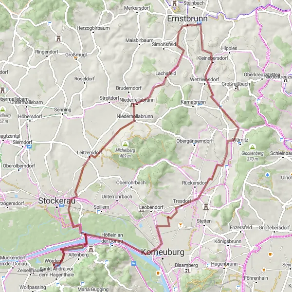
Embark on an exploratory gravel cycling route with a total ascent of 409 meters and a distance of 74 kilometers. Discover highlights such as Harmannsdorf and Wördern. Ideal for cyclists looking for a unique off-road experience in the picturesque surroundings near Sankt Andrä vor dem Hagenthale.
gravel
74 km
409 m
Náročné
Profil trasy
Zajímavosti na trase
0 km
0 km
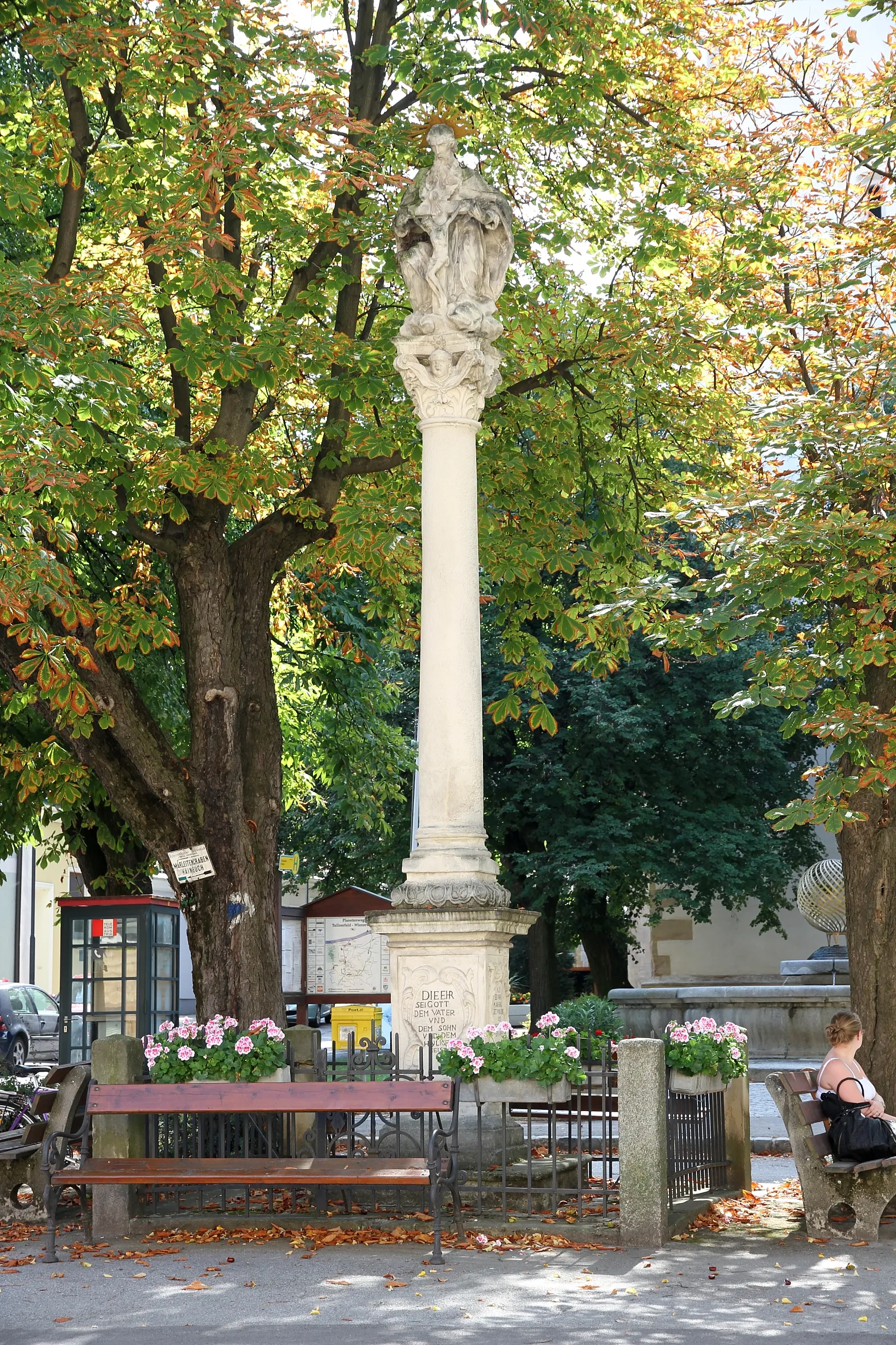
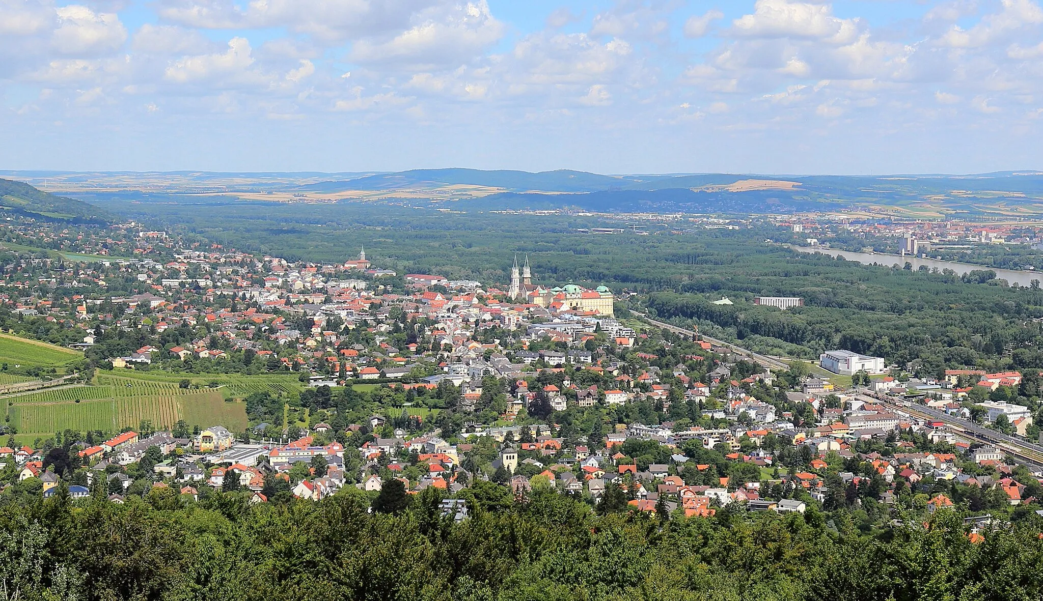
Start: Wördern Village centerSankt Andrä vor dem Hagenthale: Poklidné cyklotrasy v Dolním Rakousku.
Sankt Andrä vor dem Hagenthale je klidná obec v Dolním Rakousku, ideální pro cyklisty hledající klidné trasy v přírodě. V blízkosti se nachází pěkné cyklostezky vhodné pro gravel kola.4 km
4 km
Totenkopf352 mVrcholExperience the thrill of riding near the Totenkopf landmark on your gravel exploration.
14 km
14 km
LeitzersdorfVesniceCycle through the charming village of Leitzersdorf and enjoy the rural landscapes.
32 km
32 km
ErnstbrunnMěstoPass by the quaint town of Ernstbrunn and soak in the peaceful surroundings.
54 km
54 km
HarmannsdorfVesniceDiscover the beauty of Harmannsdorf and its idyllic surroundings on your gravel ride.
56 km
56 km
Teiritzberg201 mVrcholCycle to Teiritzberg and admire the natural beauty of this scenic spot.
66 km
66 km
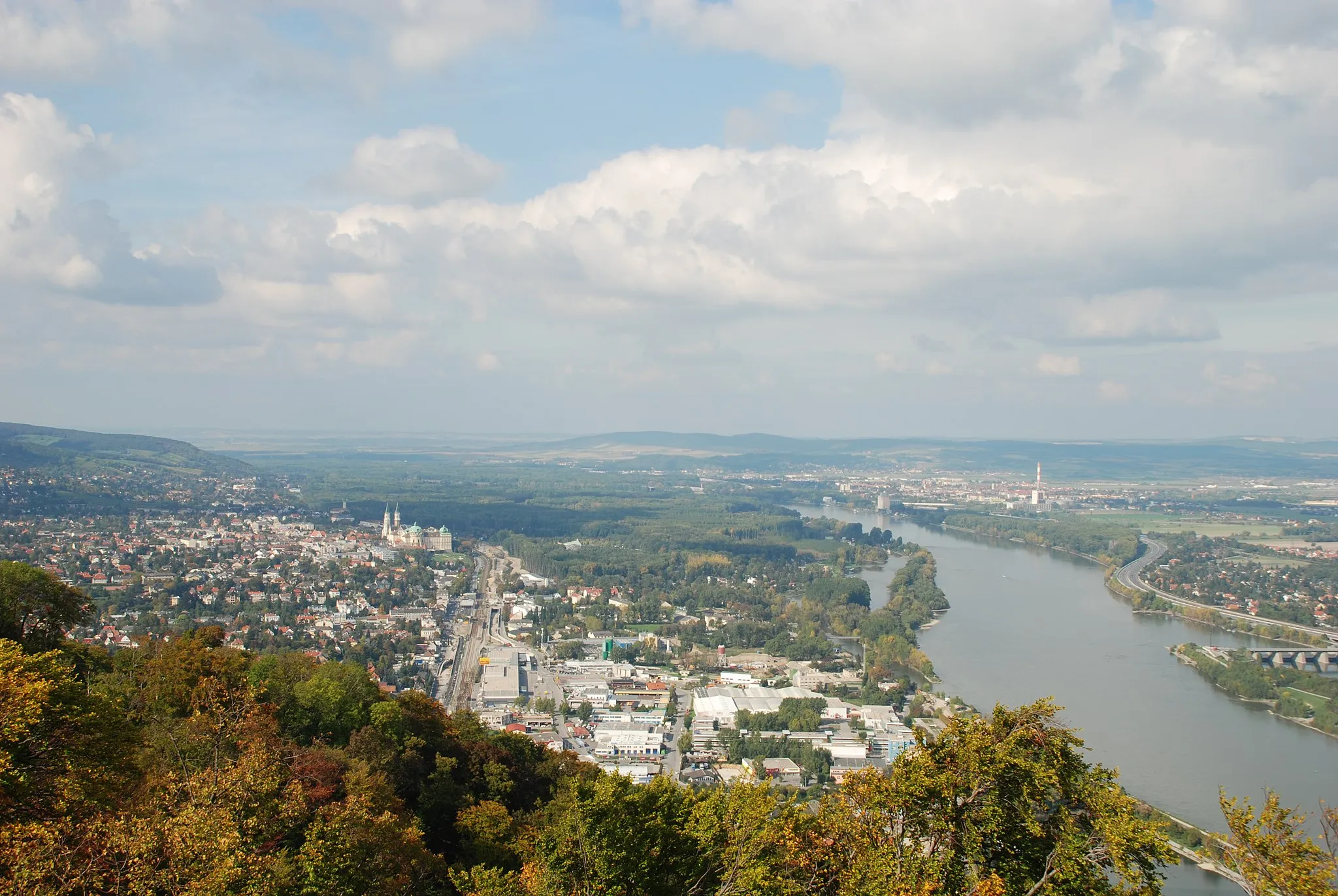
Höflein an der DonauVesniceExperience the charm of Höflein an der Donau during your gravel journey.
74 km
74 km
WördernVesniceExplore the picturesque village of Wördern and take in the stunning views of the region.
74 km
74 km
Cíl: Wördern Village centerSankt Andrä vor dem Hagenthale: Poklidné cyklotrasy v Dolním Rakousku.
Cyklistické trasy z Sankt Andrae vor dem Hagenthale:
Exploratory Gravel Cycling Route near Sankt Andrä vor dem Hagenthale Gravel Cycling Exploration near Sankt Andrä vor dem Hagenthale Scenic Gravel Cycling Loop from Sankt Andrä vor dem Hagenthale Okruh kolem města Klosterneuburg Skvostná gravelová trasa Weinviertel Zelené kopce Stockerau Gravelová cesta kolem Vídně Vídeňská okružní cesta z Leopoldsbergu Road Cycling Adventure to Weinviertel Region Road Cycling Tour around Sankt Andrä vor dem Hagenthale Kolový výlet kolem Sankt Andrä vor dem Hagenthale
Cyklotrasy v okolí: