Road Kolo kolem Gunskirchen
Cyklistická trasa pro road začínající v Gunskirchen
Projížďka po 57km dlouhé trase s 466m převýšením nabízí různorodé výhledy a památky.
Mapa
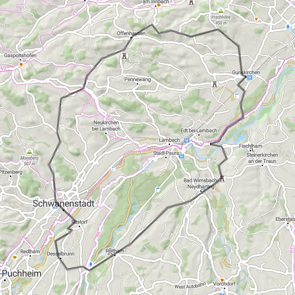
Tato 57km dlouhá trasa nabízí různorodé výhledy a zastávky, včetně Bad Wimsbach-Neydharting, Schwanenstadt, Bachmanning a Ströblberg. Užijte si malebnou krajinu a historická města na cestě zpět do Gunskirchen.
road
57 km
466 m
Chill
Profil trasy
Zajímavosti na trase
0 km
0 km
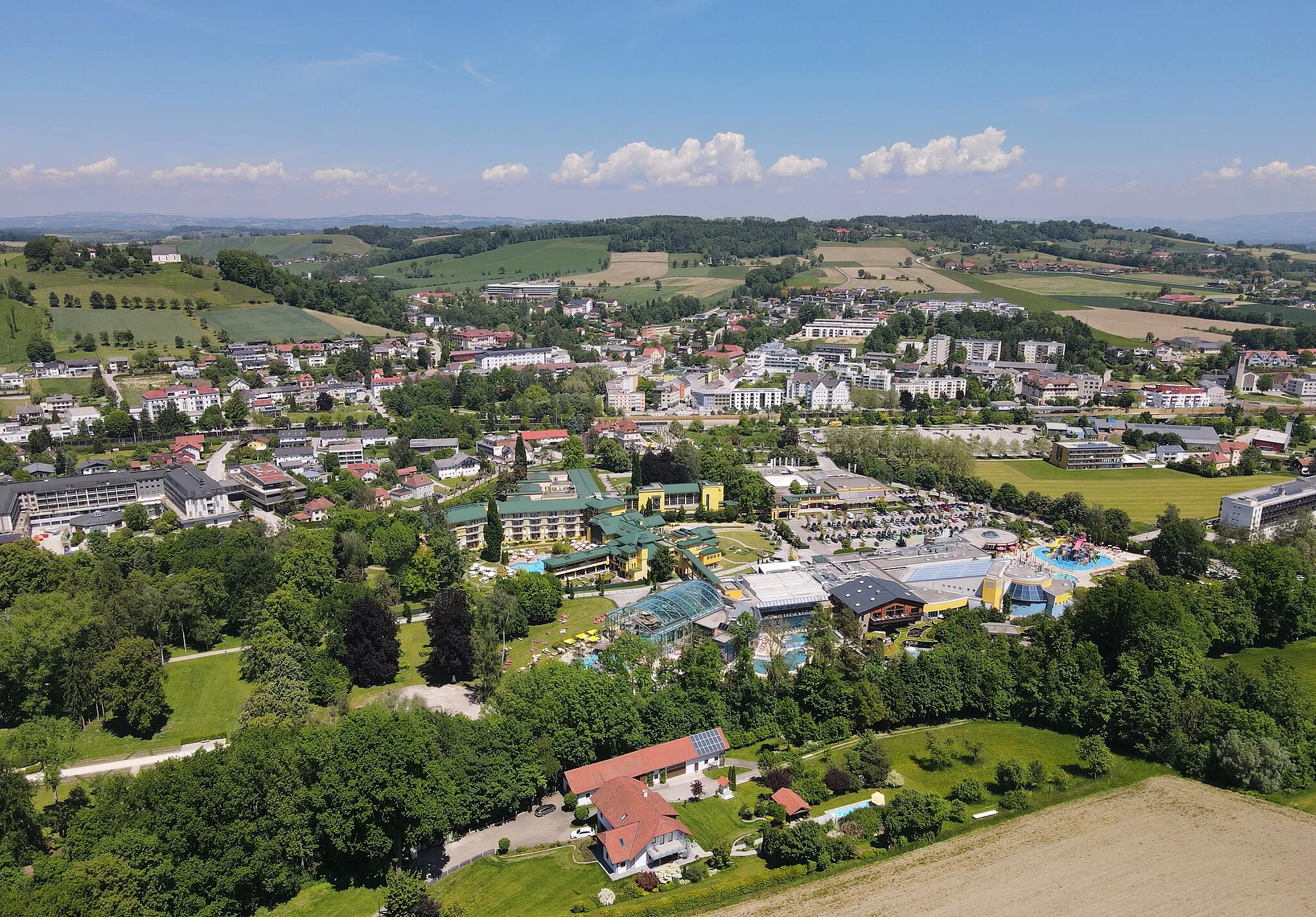
Start: Gunskirchen Village centerGunskirchen: Klidná obec pro rodinné cyklistické výlety.
Gunskirchen je malebná obec v Horním Rakousku, kde cyklisté naleznou klidné trasy po okolních lukách a jezerech. Oblast je vhodná pro rodinné výlety i pro intenzivnější trénink. V blízkosti se nachází oblíbené cyklostezky a horské průsmyky.0 km
0 km
GunskirchenVesniceZačátek a konec trasy v Gunskirchen.
11 km
11 km
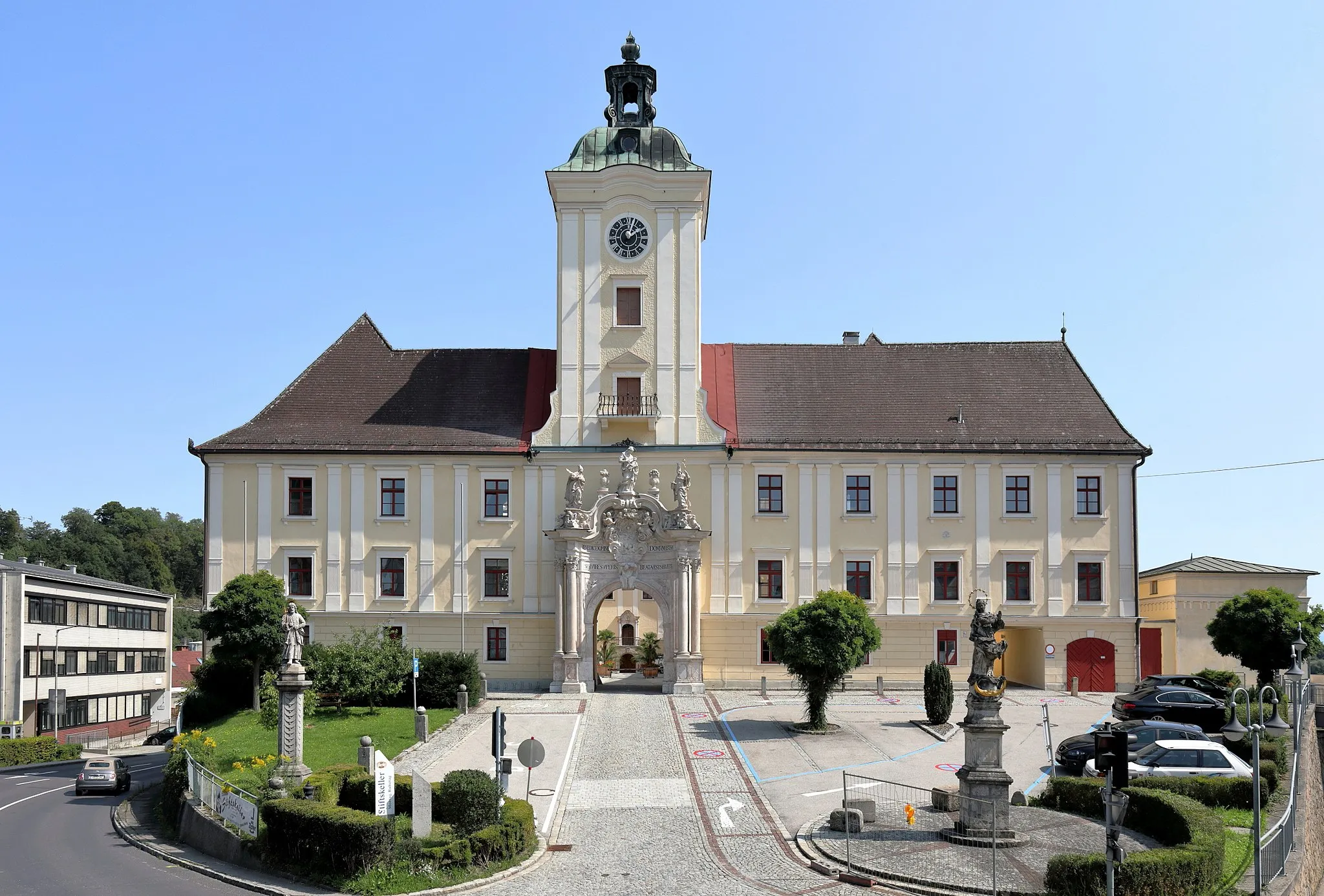
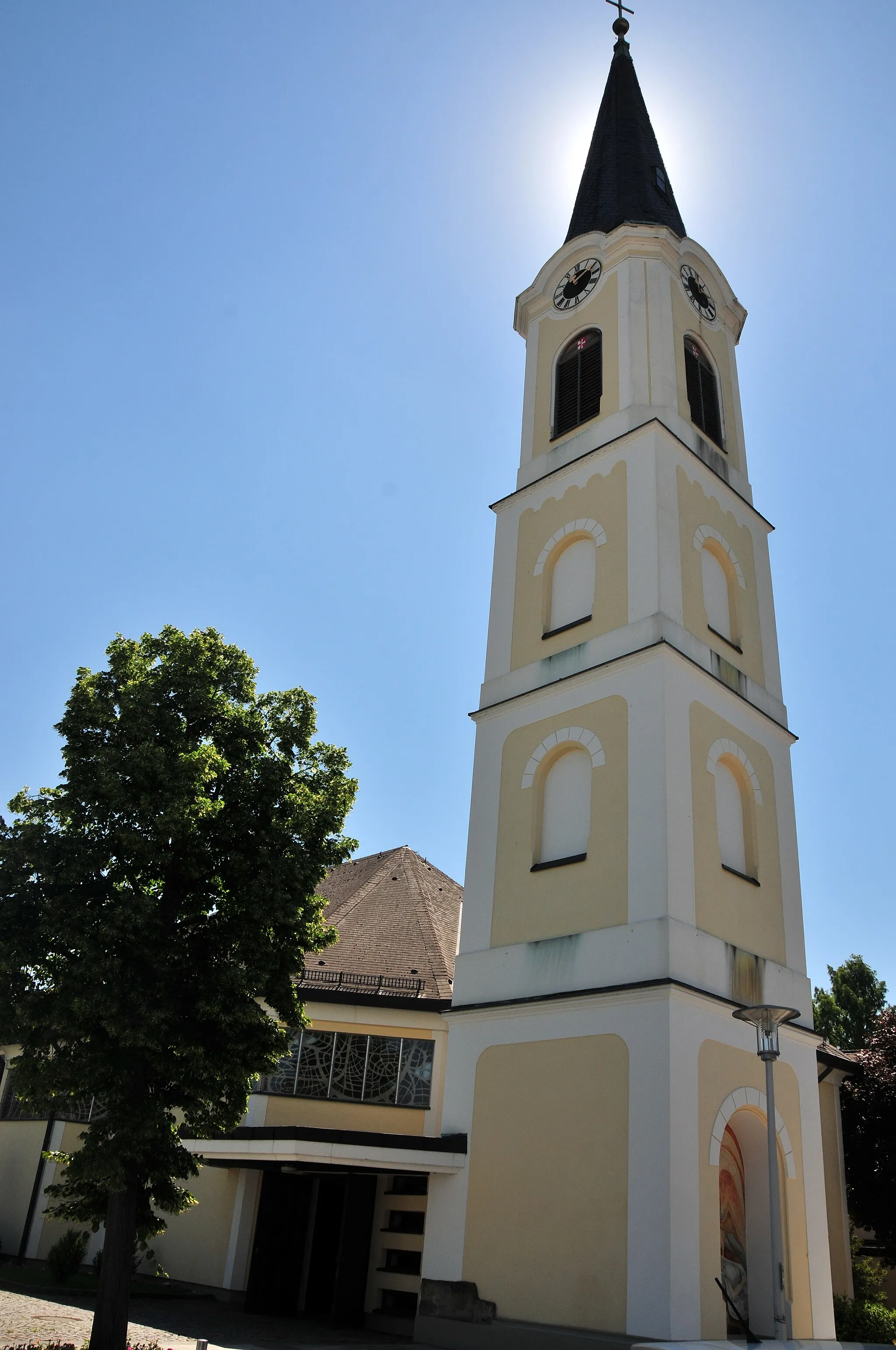
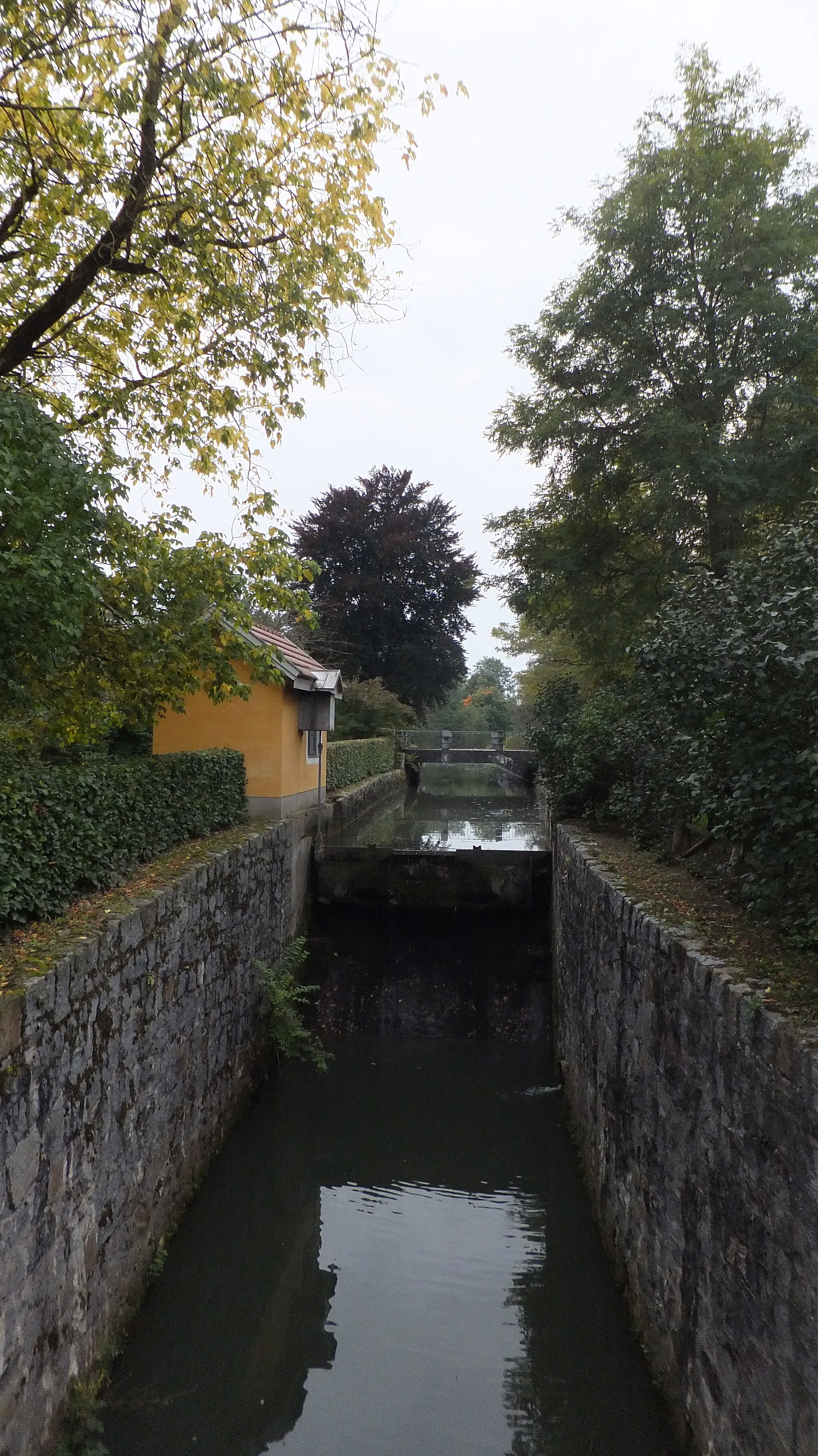
Bad Wimsbach-NeydhartingVesniceNavštivte Bad Wimsbach-Neydharting na trase.
30 km
30 km
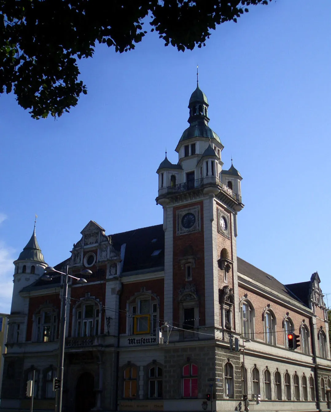
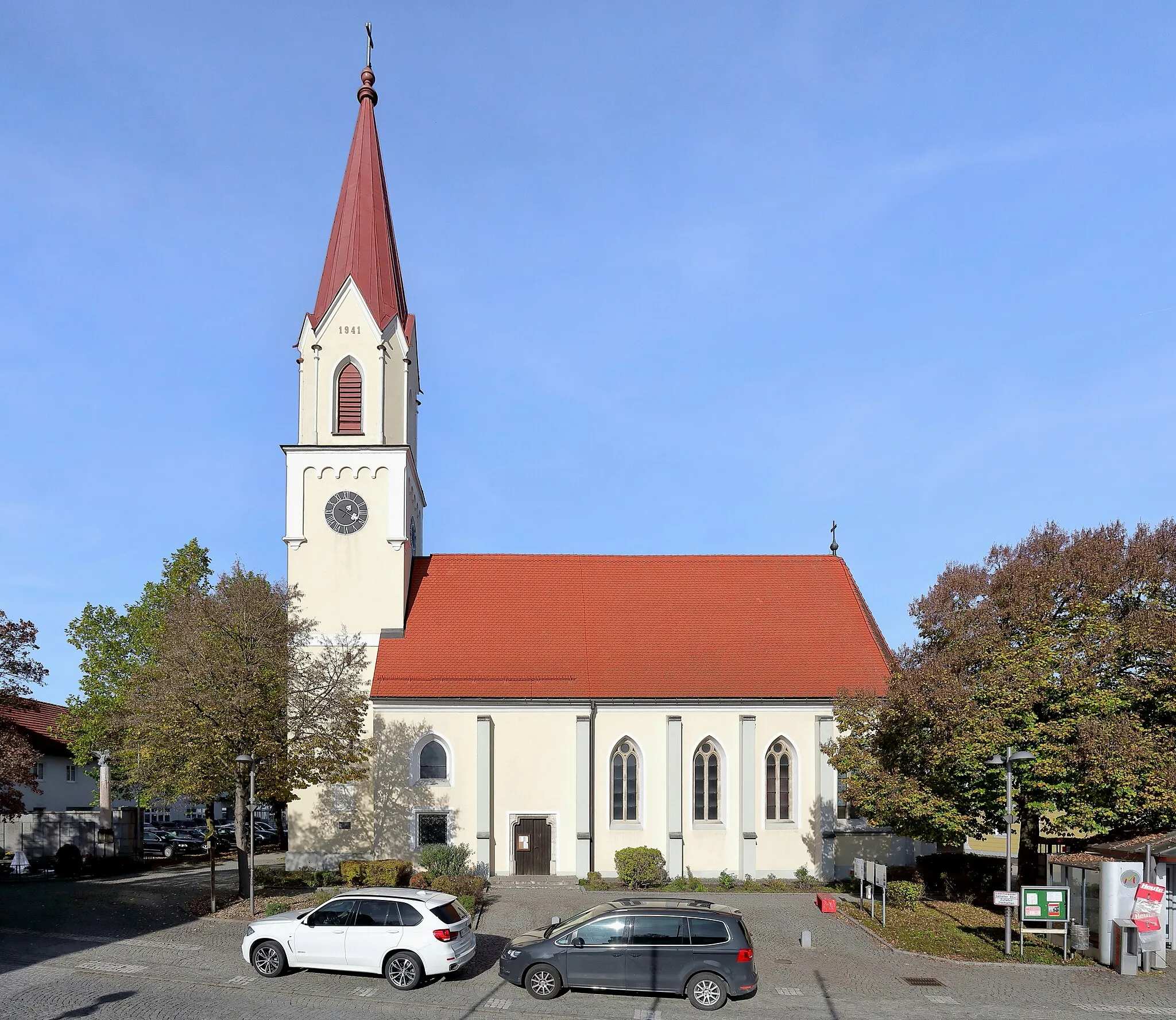
SchwanenstadtMěstoZastavte se ve městě Schwanenstadt.
40 km
40 km
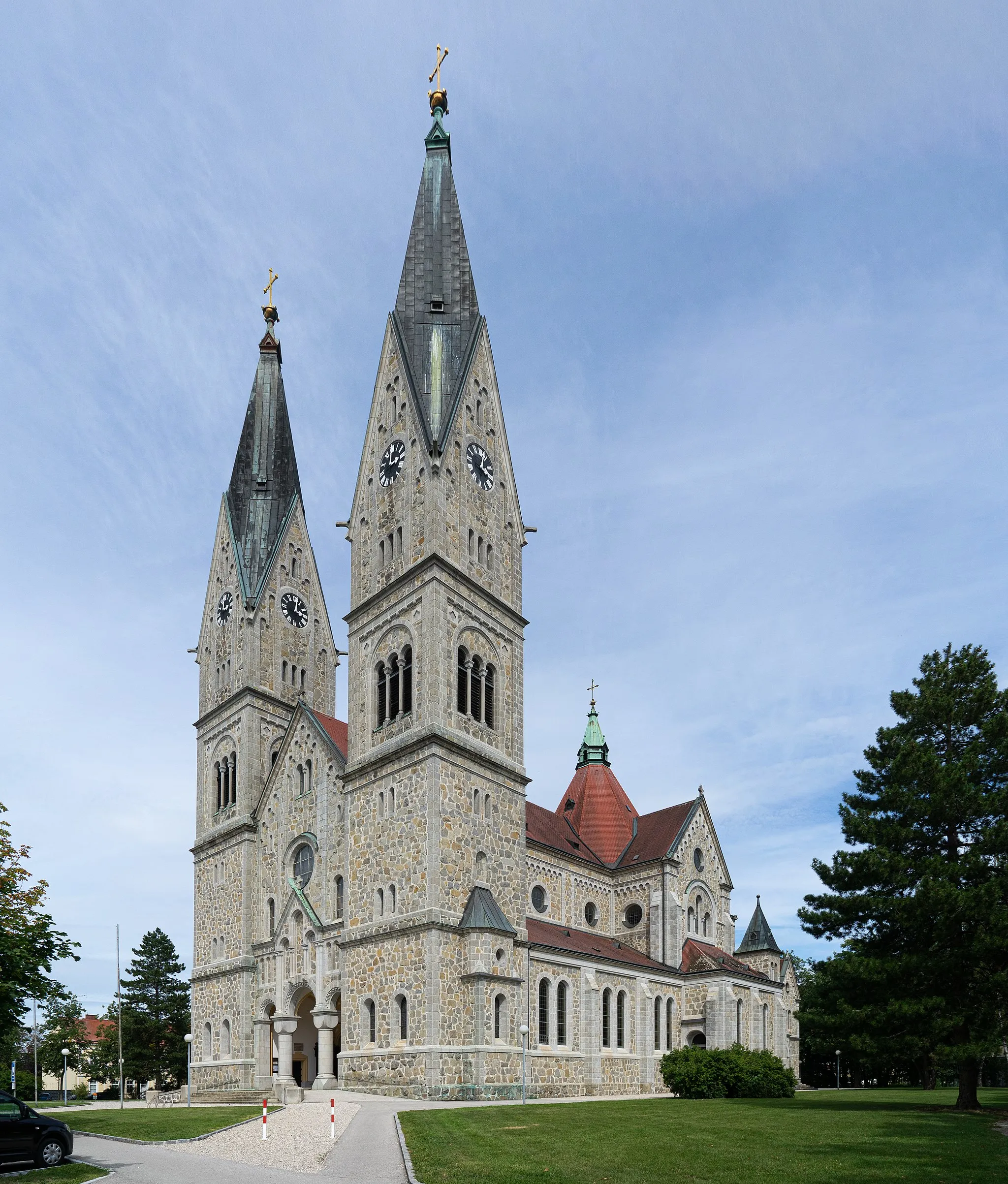
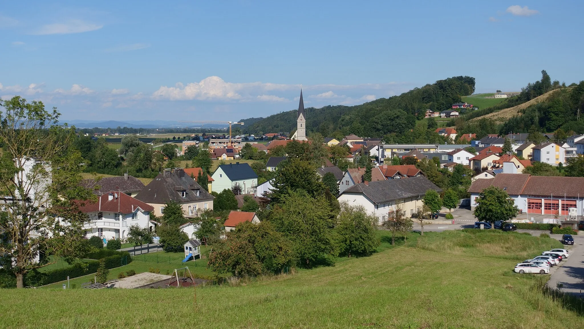
BachmanningVesniceProzkoumejte malebnou obec Bachmanning.
56 km
56 km
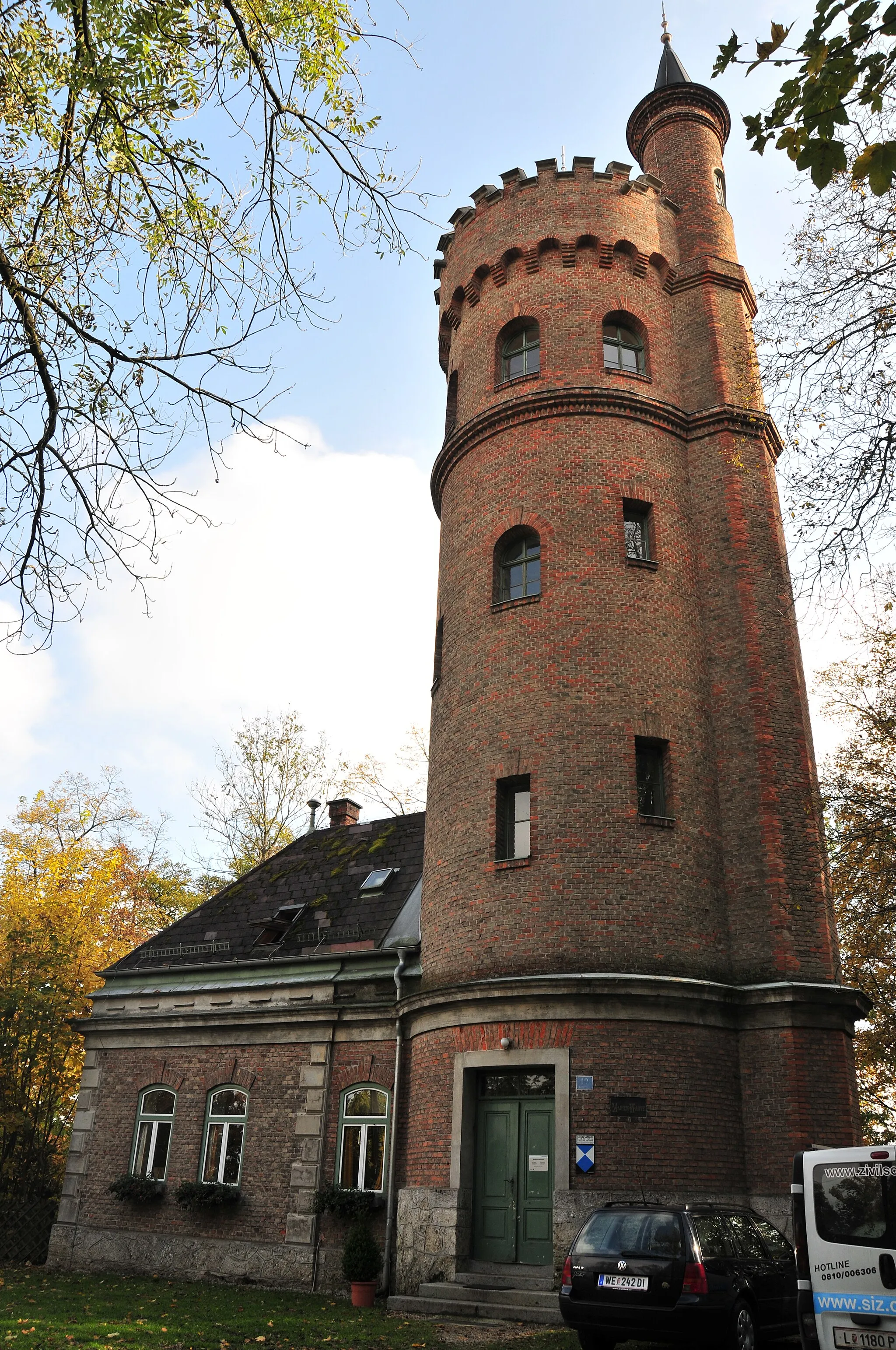
StröblbergVesniceUžijte si výhledy ze Ströblberg.
57 km
57 km
Cíl: Gunskirchen Village centerGunskirchen: Klidná obec pro rodinné cyklistické výlety.
Cyklistické trasy z Gunskirchen:
Gravel Výlet kolem Gunskirchen Cyklistická trasa kolem Gunskirchenu Cyklo okruh kolem Bad Wimsbach-Neydhartingu Krátký okruh kolem Gunskirchenu Okruh kolem Gunskirchenu až do Bad Wimsbach-Neydharting Okruh kolem Gunskirchenu a Bad Hall Trasa Hořčí Road Kolo kolem Gunskirchen Koleje kolem Gunskirchenu Trasa Horské Vrcholy Okružní cyklistická trasa z Gunskirchenu
Cyklotrasy v okolí: