Koleje kolem Gunskirchenu
Cyklistická trasa pro road začínající v Gunskirchen
Dlouhý výlet s mírným stoupáním
Mapa
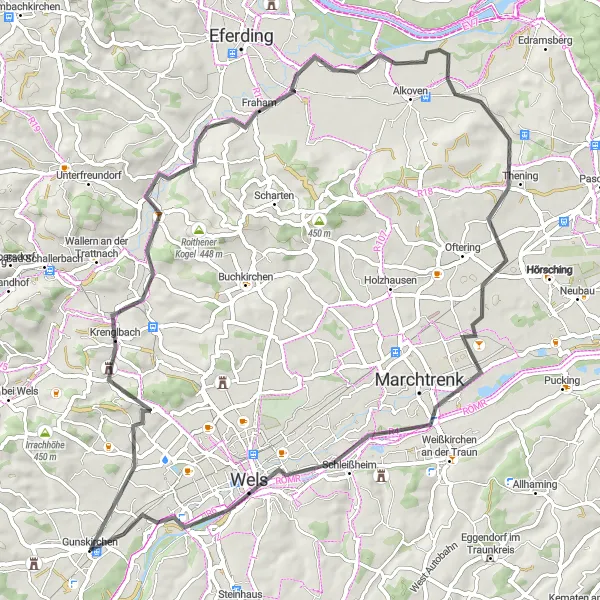
Tato 69 km dlouhá cesta nabídne lehký výškový rozdíl 252 m. Projedete místa jako Krenglbach, Thening, Schleißheim či Lichtenegg a nakonec dorazíte zpět do Gunskirchenu.
road
69 km
252 m
Chill
Profil trasy
Zajímavosti na trase
0 km
0 km
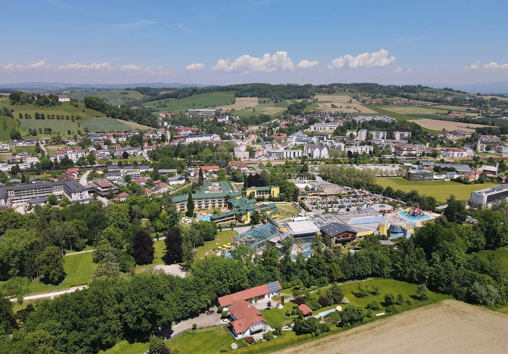
Start: Gunskirchen Village centerGunskirchen: Klidná obec pro rodinné cyklistické výlety.
Gunskirchen je malebná obec v Horním Rakousku, kde cyklisté naleznou klidné trasy po okolních lukách a jezerech. Oblast je vhodná pro rodinné výlety i pro intenzivnější trénink. V blízkosti se nachází oblíbené cyklostezky a horské průsmyky.10 km
10 km
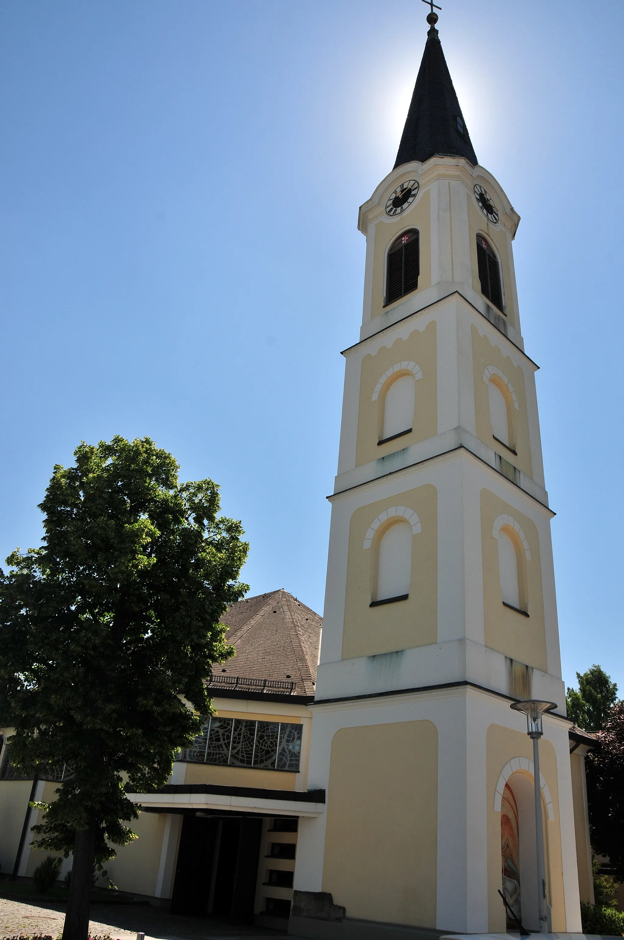
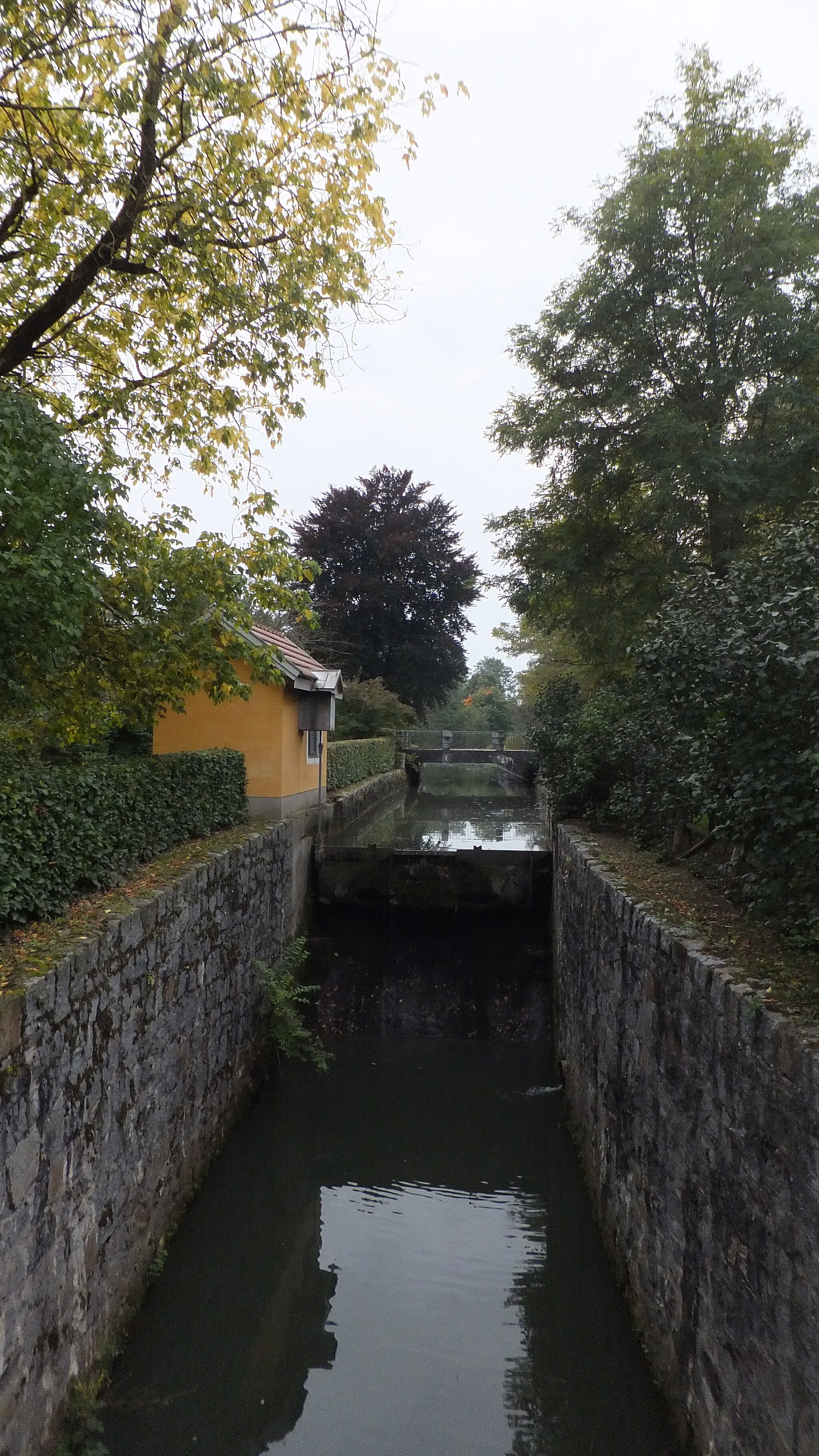
KrenglbachVesniceKrenglbach je známým městem vinic a dobrého vína.
40 km
40 km
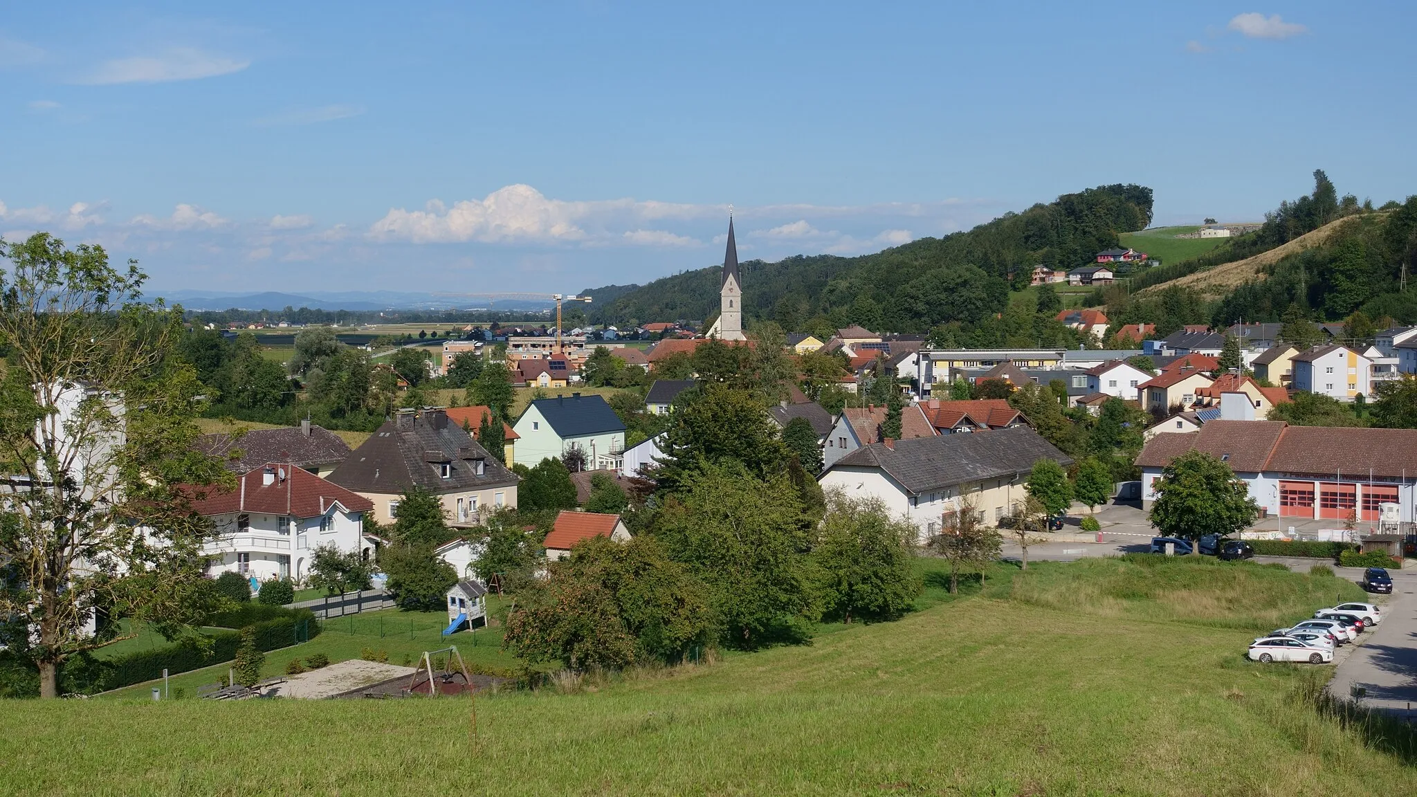
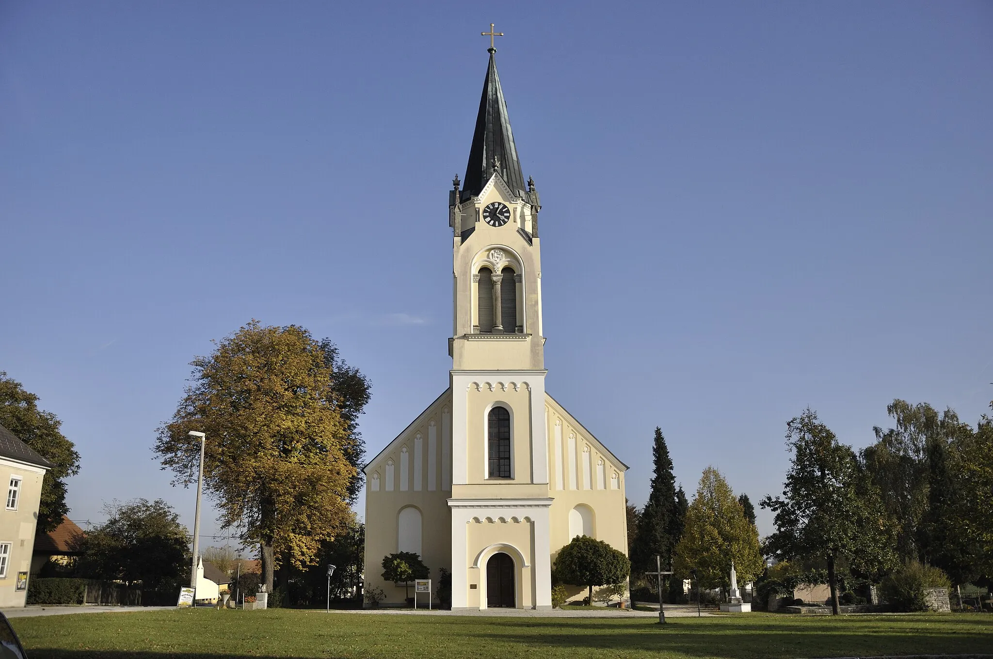
TheningVesniceNávštěva malebné vesnice Thening, která nabízí klid a historická místa.
57 km
57 km
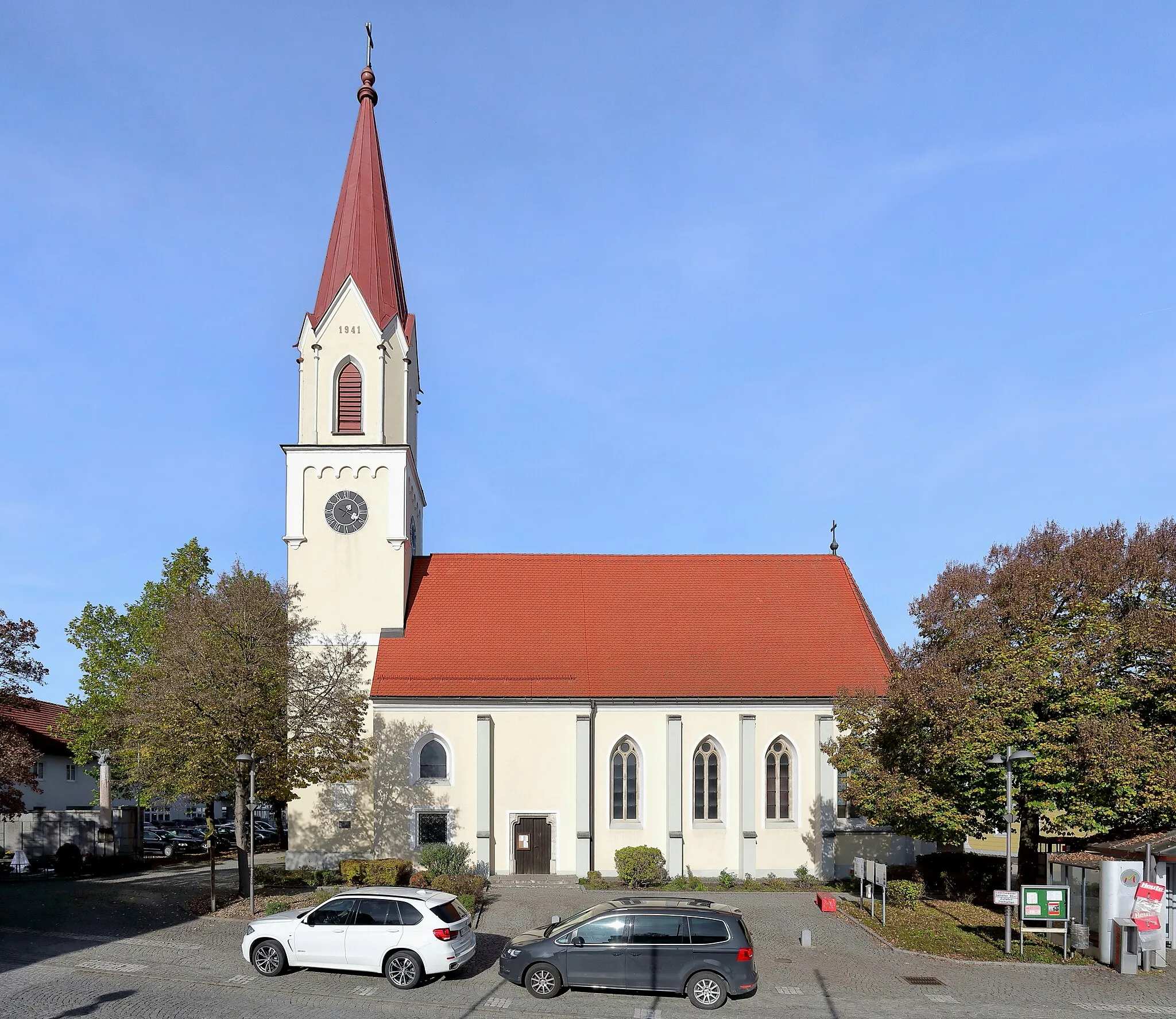
SchleißheimVesniceVe vesnici Schleißheim se můžete projít a ochutnat místní speciality.
63 km
63 km
LichteneggPod-předměstíLichtenegg je vesnička s krásnými starobylými uličkami a atmosférou.
69 km
69 km
Gunskirchen BahnhofPřístřešekGunskirchen Bahnhof je skvělé místo k poznávání místní historie.
69 km
69 km
Cíl: Gunskirchen Village centerGunskirchen: Klidná obec pro rodinné cyklistické výlety.
Cyklistické trasy z Gunskirchen:
Gravel Výlet kolem Gunskirchen Cyklistická trasa kolem Gunskirchenu Cyklo okruh kolem Bad Wimsbach-Neydhartingu Krátký okruh kolem Gunskirchenu Okruh kolem Gunskirchenu až do Bad Wimsbach-Neydharting Okruh kolem Gunskirchenu a Bad Hall Trasa Hořčí Road Kolo kolem Gunskirchen Koleje kolem Gunskirchenu Trasa Horské Vrcholy Okružní cyklistická trasa z Gunskirchenu
Cyklotrasy v okolí: