Road Route Golnik - Hudo
Cyklistická trasa pro road začínající v Bistrica pri Trzicu
Scenic road route with historical landmarks
Mapa
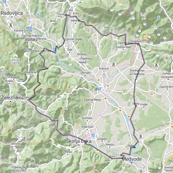
This 84 km road route offers a mix of challenging climbs and scenic descents, with a total ascent of 1344 m. Starting from Golnik, cyclists will pass through Čevec, Straža, Podreča, Skofja Loka, and more before reaching Hudo. The route is suitable for cyclists looking to explore historical landmarks and cultural heritage sites in the Slovenian countryside.
road
84 km
1344 m
Náročné
Profil trasy
Zajímavosti na trase
0 km
0 km
Start: Kovor Village centerBistrica pri Tržiču: Malebná lokalita s různorodými trasami a známým stoupáním na Jelovico.
Bistrica pri Tržiču je malebná lokalita s kopcovitým terénem a cyklistickými trasami pro všechny úrovně dovedností. V blízkosti se nachází známé stoupání na Jelovico, oblíbený cíl zdatných cyklistů.5 km
5 km
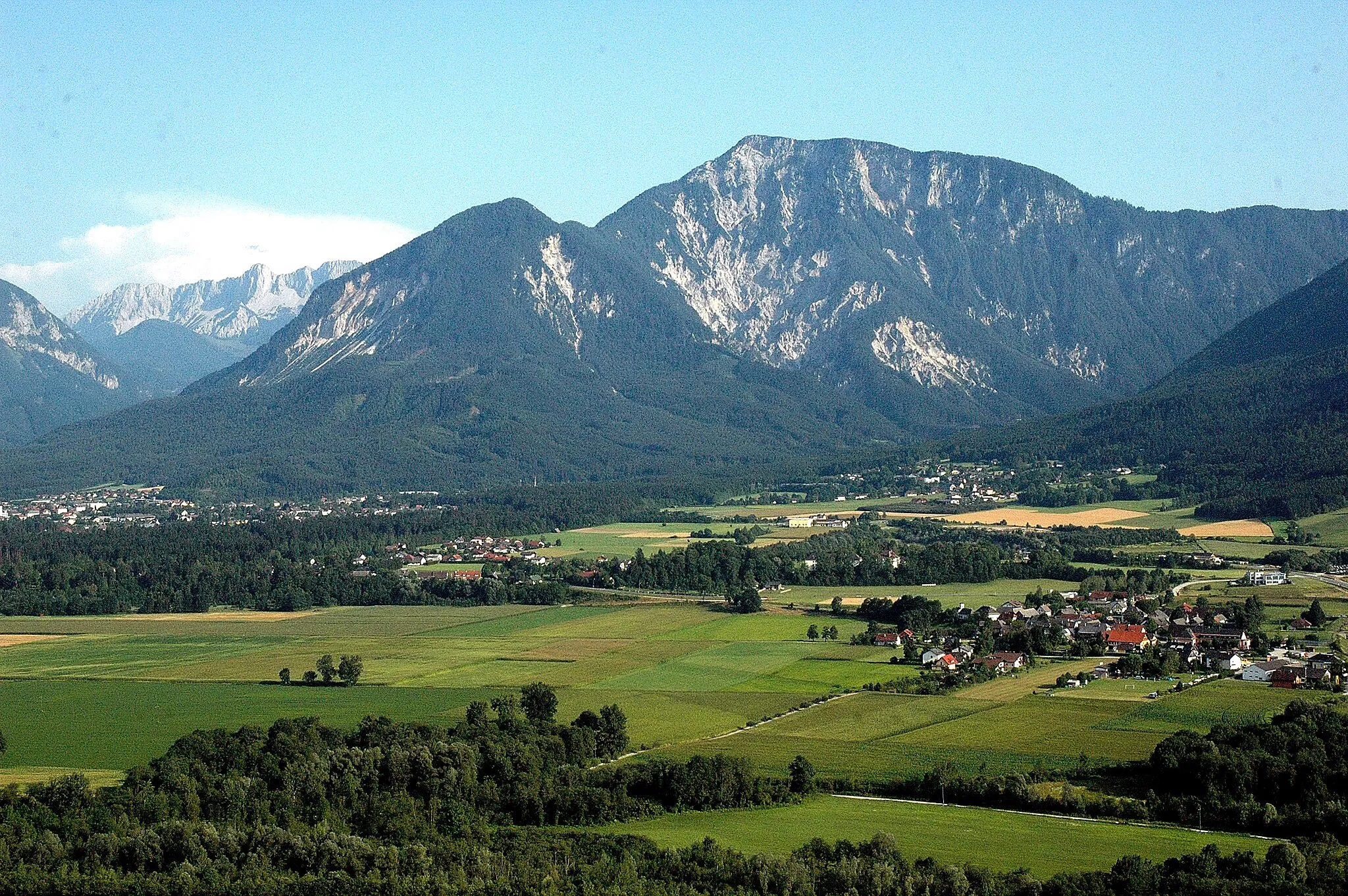
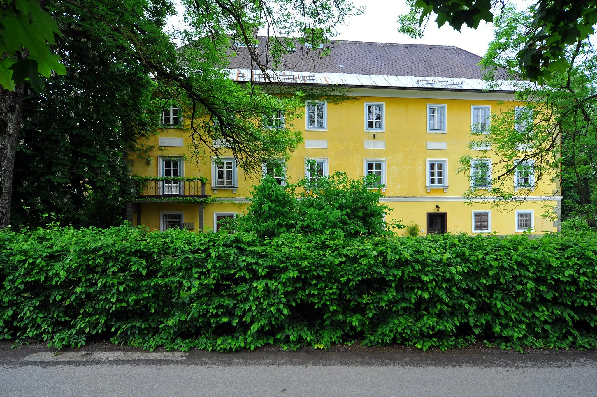
GolnikVesniceGolnik is a charming village with traditional architecture and stunning views of the surrounding landscape.
11 km
11 km
Čevec531 mVrcholČevec is a historical village with traditional buildings and cultural heritage sites to explore.
18 km
18 km
Straža527 mVrcholStraža offers a peaceful setting for cyclists to relax and enjoy the natural surroundings along the route.
32 km
32 km
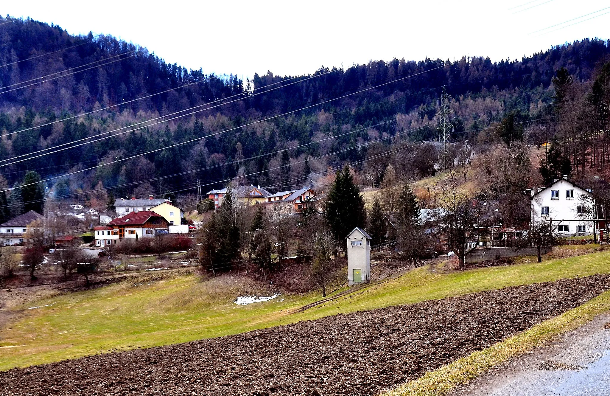
PodrečaVesnicePodreča is a quaint village with historic buildings and a welcoming atmosphere for cyclists to enjoy.
48 km
48 km
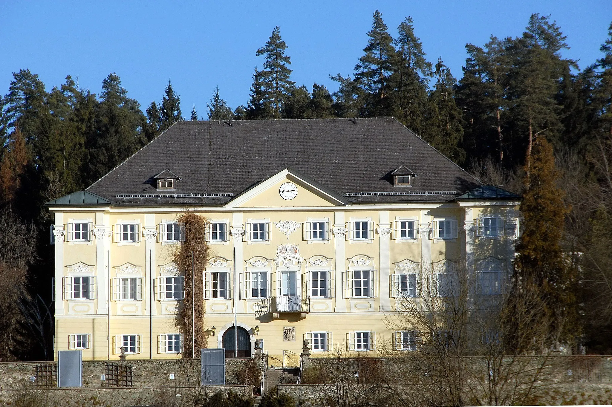
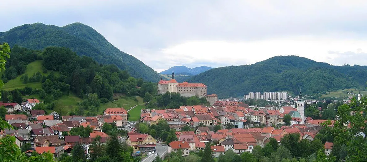
Skofja LokaMěstoSkofja Loka is a picturesque town with cultural heritage sites and historic architecture to explore during your cycling journey.
56 km
56 km
Kraj614 mVrcholKraj is a charming village with traditional buildings and a tranquil atmosphere, perfect for a rest break along the route.
65 km
65 km
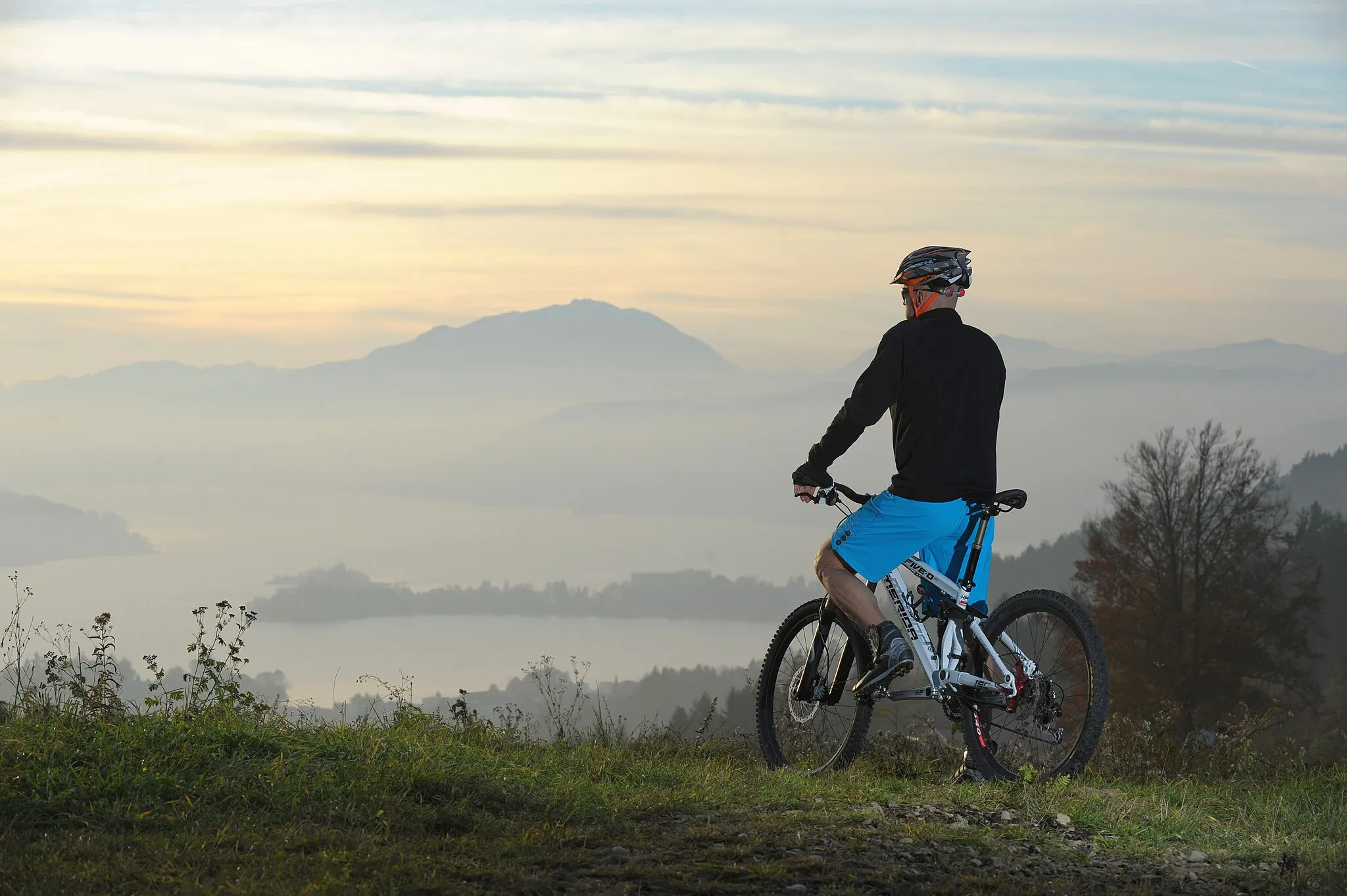
Prevala713 mVrcholPrevala is a scenic spot along the route, offering panoramic views of the surrounding landscape and challenging terrain for cyclists to enjoy.
76 km
76 km
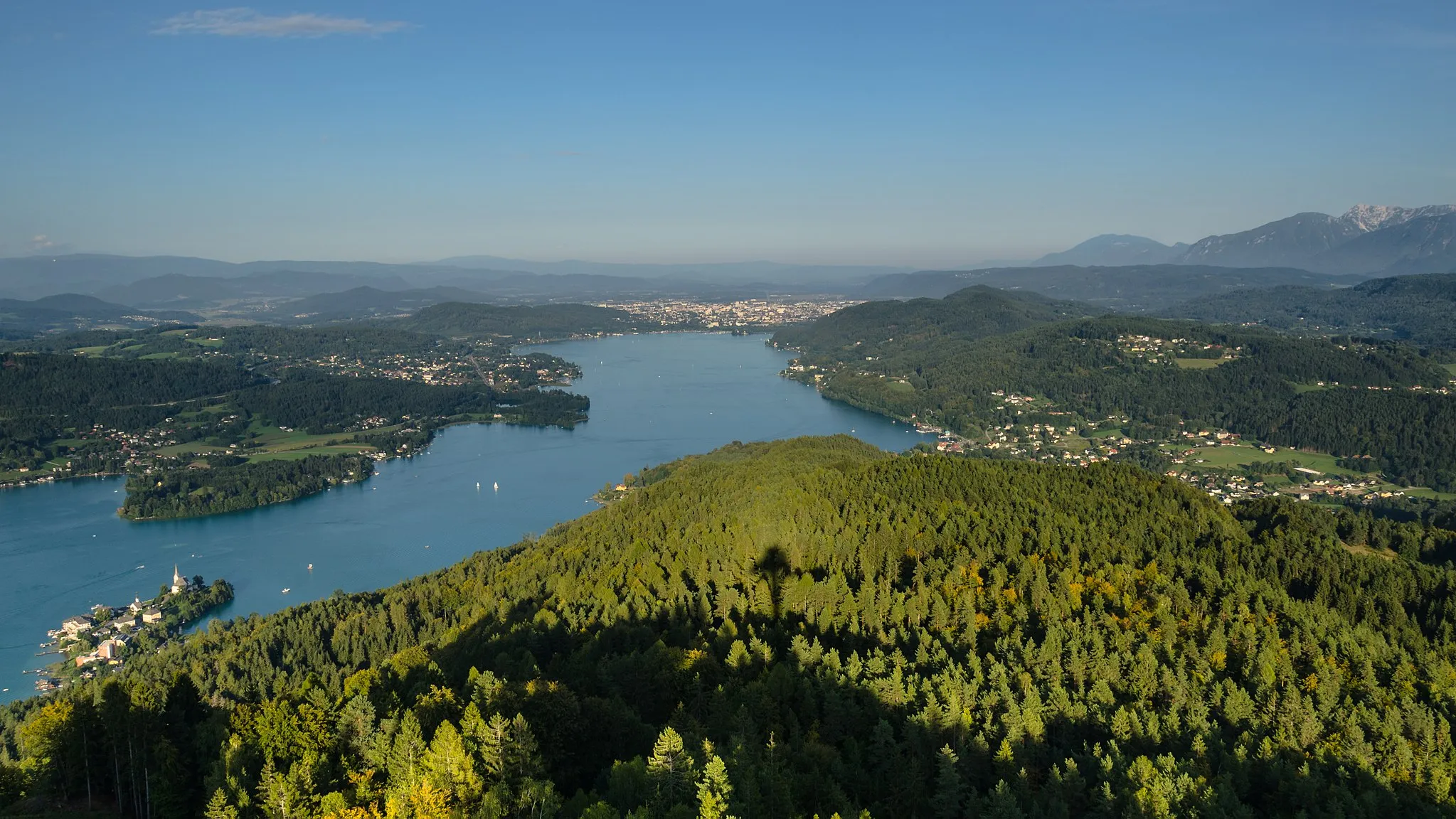
GobovceVesniceGobovce provides a glimpse into traditional Slovenian life, with its charming architecture and friendly locals.
84 km
84 km
HudoVesniceHudo marks the end of the route, where cyclists can relax and reflect on their journey through the Slovenian countryside.
84 km
84 km
Cíl: Kovor Village centerBistrica pri Tržiču: Malebná lokalita s různorodými trasami a známým stoupáním na Jelovico.
Cyklistické trasy z Bistrica pri Trzicu:
Gravel Route Gobovce - Brezje pri Tržiču Road Route Golnik - Stovc Gravel trasa k Boštěku Road Route Golnik - Podbrezje Gravel trasa k Bledu Road Route Golnik - Hudo Silniční okruh kolem Bistrica pri Tržiču Trasa kolem Bistrici pri Tržiču Cyklistická trasa k Boštek Gravel trasa s výhledy kolem Bistrica pri Tržiču Gravel trasa kolem Bistrica pri Tržiču Náročný silniční okruh kolem Bistrica pri Tržiču
Cyklotrasy v okolí: