![Cover image](https://images.tarmacs.app/cycling-routes/covers/spain/comunitat-valenciana/vila-real-5.webp)
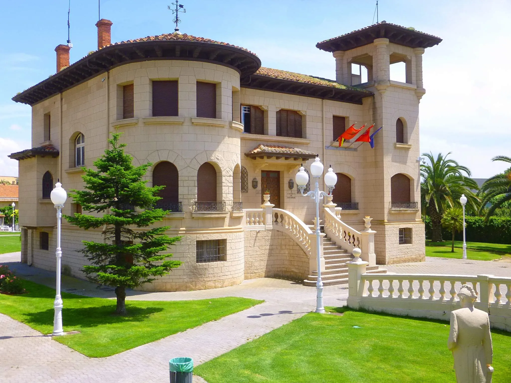
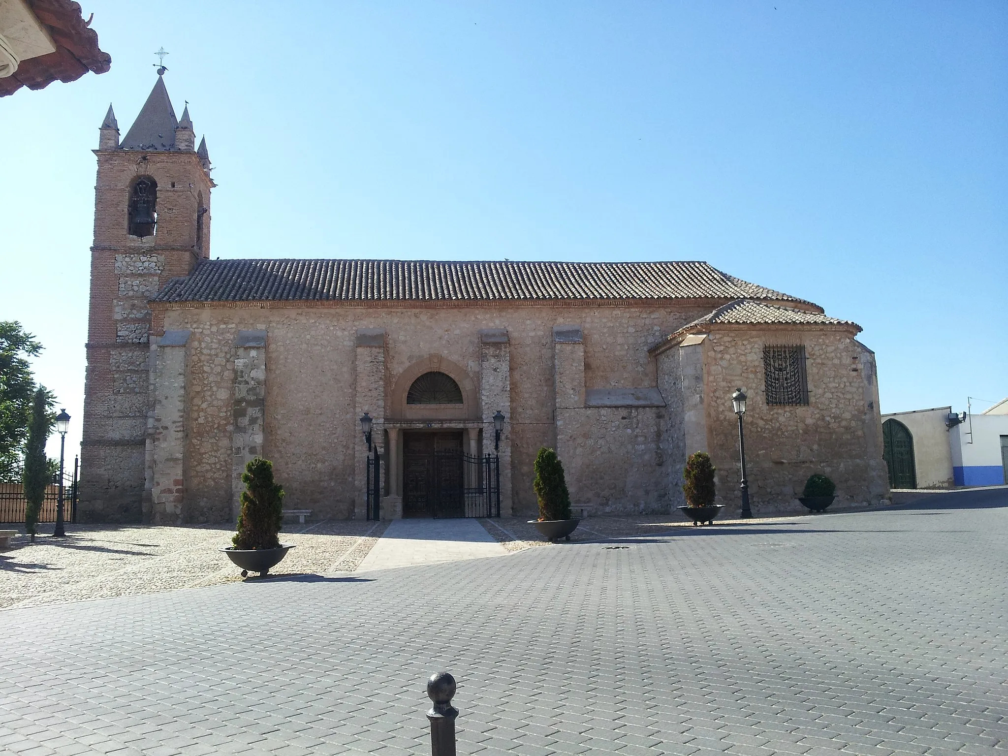
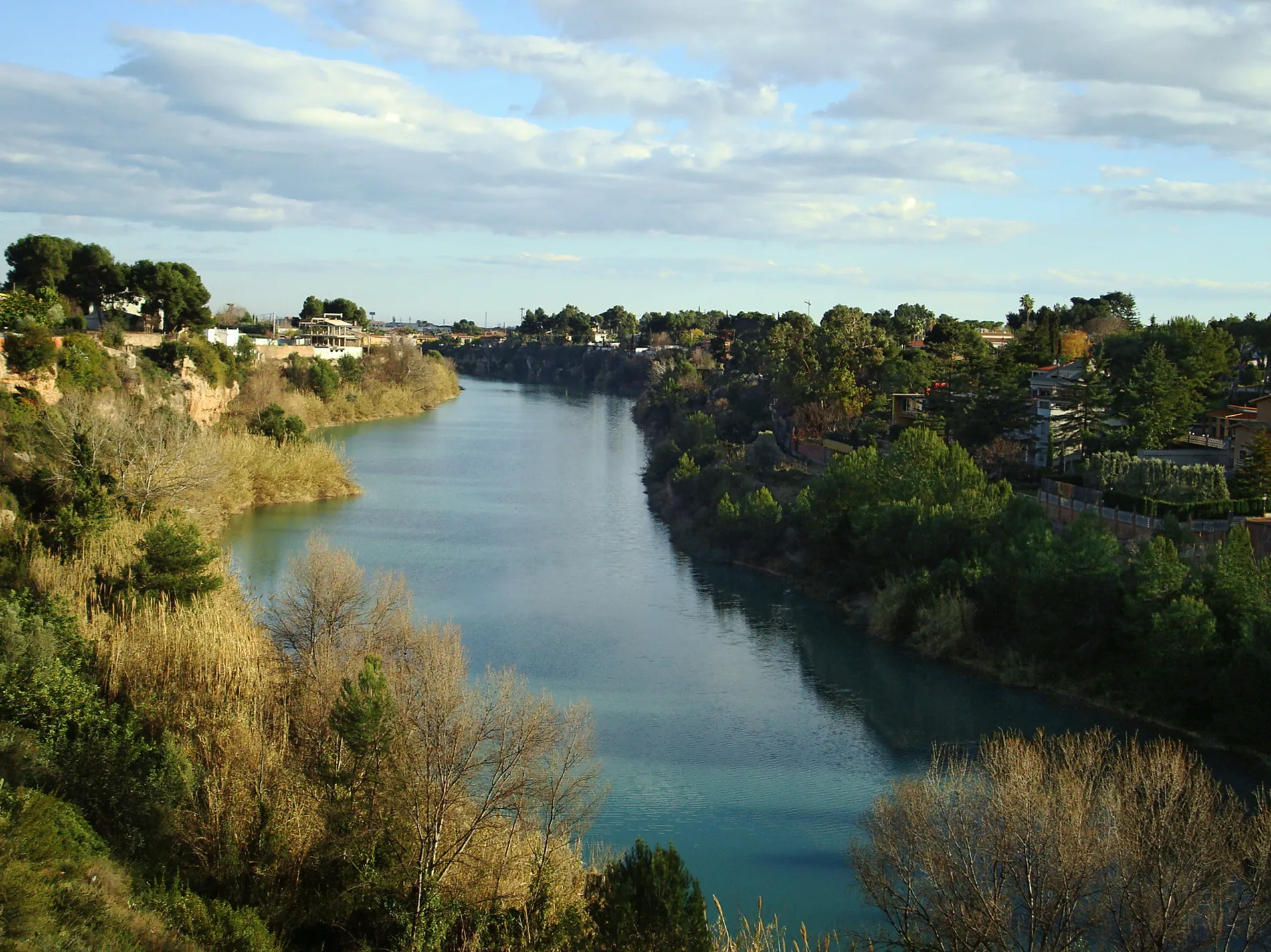
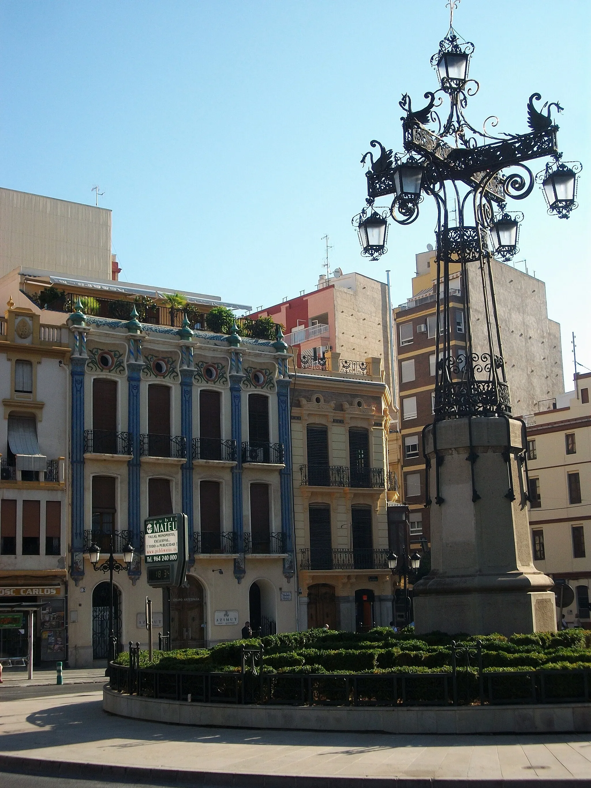
Živé město pro cyklisty v Comunitat Valenciana.
Cyklistické trasy kolem Vila-real
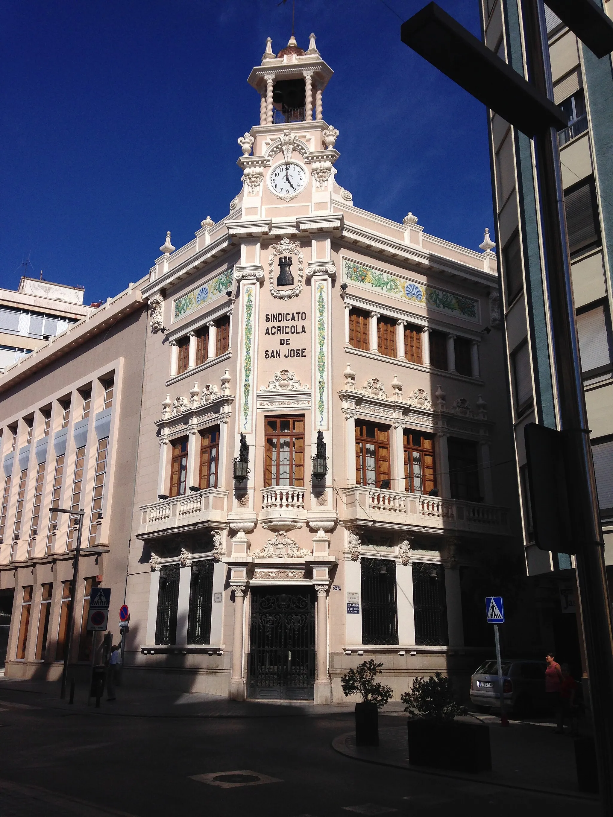
Vila-real je živé město ve španělské Comunitat Valenciana, ideální pro cyklisty. V okolí najdete různé cyklistické stezky pro silniční i hrubé cyklisty.
![Miniaturní mapa "Road Through the Valleys" inspirace pro cyklisty v oblasti Comunitat Valenciana, Spain. Vytvořeno pomocí plánovače tras Tarmacs.app](https://images.tarmacs.app/cycling-routes/routemaps/600/spain/comunitat-valenciana/vila-real/road/1823.webp)
Demanding road route through peaks and valleys
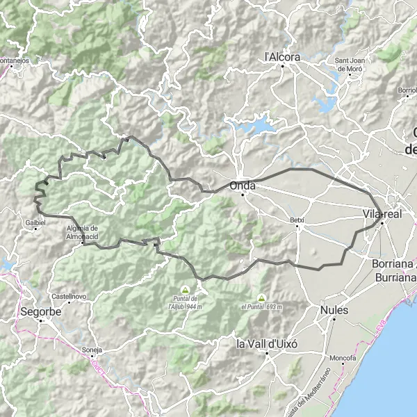
The 104 km road trip will take you from Collao d'Artana, Artana through Aín, Peña Parda, Algimia de Almonacid, El Collado de Matet, Alto de San Cristóbal, Ayódar, all the way to Castillo de Onda. The total ascent of the route is 1998 m.
![Miniaturní mapa "Road Cycling Adventure Collao d'Artana - Villarreal" inspirace pro cyklisty v oblasti Comunitat Valenciana, Spain. Vytvořeno pomocí plánovače tras Tarmacs.app](https://images.tarmacs.app/cycling-routes/routemaps/600/spain/comunitat-valenciana/vila-real/road/1817.webp)
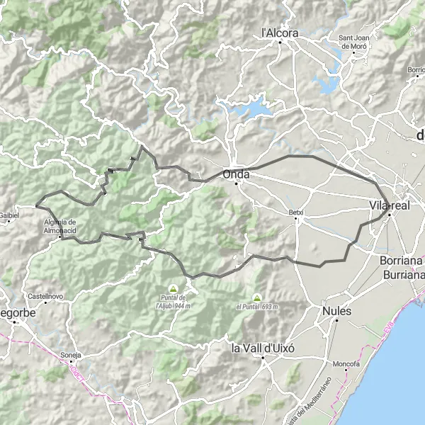
Challenge yourself on this 92km road cycling route featuring challenging ascents and breathtaking descents.
Test your cycling skills on the steep climbs of Collao d'Artana and Coll de Villamalur, then enjoy the exhilarating descents through the picturesque countryside. Admire the panoramic views from the peaks and experience the thrill of conquering the mountains. Finish your journey in the vibrant city of Villarreal, where you can relax and celebrate your achievement.
![Miniaturní mapa "Gravel Tour Borriana - la Vall d'Uixó" inspirace pro cyklisty v oblasti Comunitat Valenciana, Spain. Vytvořeno pomocí plánovače tras Tarmacs.app](https://images.tarmacs.app/cycling-routes/routemaps/600/spain/comunitat-valenciana/vila-real/gravel/1814.webp)
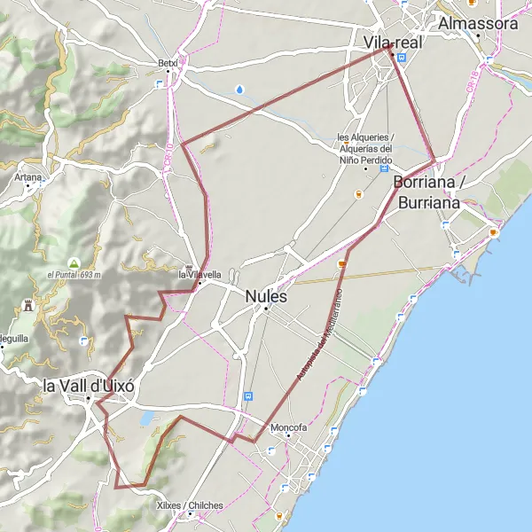
Explore the coastal landscapes and charming towns of Borriana and la Vall d'Uixó on this 54km gravel route.
Embark on a scenic adventure through diverse terrain, including seaside paths and hidden valleys. Marvel at the beauty of the natural surroundings and the historical landmarks along the way. Experience the authentic atmosphere of the local villages and enjoy the peaceful atmosphere of the countryside.
![Miniaturní mapa "Silniční okruh kolem Vila-real" inspirace pro cyklisty v oblasti Comunitat Valenciana, Spain. Vytvořeno pomocí plánovače tras Tarmacs.app](https://images.tarmacs.app/cycling-routes/routemaps/600/spain/comunitat-valenciana/vila-real/road/1835.webp)
Středně náročná trasa s převýšením 735 metrů
Tato 60 km dlouhá trasa vede kolem Torre Motxa, Collao d'Artana a Picaio. Nabízí příjemnou cyklojízdu s zajímavými výhledy a příležitostí k poznání místní kultury.
![Miniaturní mapa "Trasa kolem Vila-real na gravel" inspirace pro cyklisty v oblasti Comunitat Valenciana, Spain. Vytvořeno pomocí plánovače tras Tarmacs.app](https://images.tarmacs.app/cycling-routes/routemaps/600/spain/comunitat-valenciana/vila-real/gravel/1821.webp)
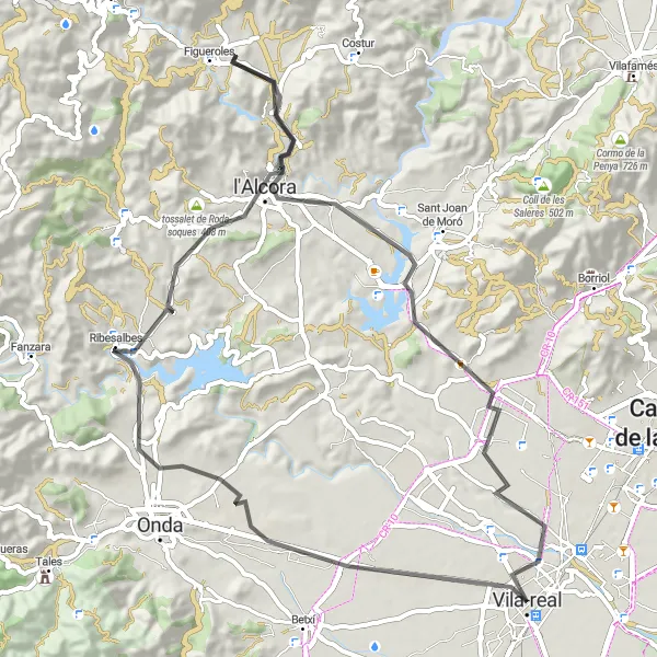
Náročná trasa s výstupem do 1728 metrů
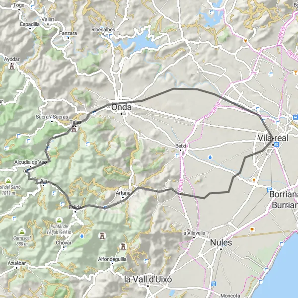
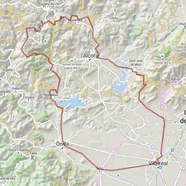
Tato 94 km dlouhá trasa nabízí pestrou paletu výstupů a sjezdů, přičemž vede kolem Betxí, Ribesalbes a Figueroles. Celkově nabízí zážitkovou jízdu po malebném terénu s historickými památkami.
![Miniaturní mapa "Gravel Tour around Vila-real" inspirace pro cyklisty v oblasti Comunitat Valenciana, Spain. Vytvořeno pomocí plánovače tras Tarmacs.app](https://images.tarmacs.app/cycling-routes/routemaps/600/spain/comunitat-valenciana/vila-real/gravel/1824.webp)
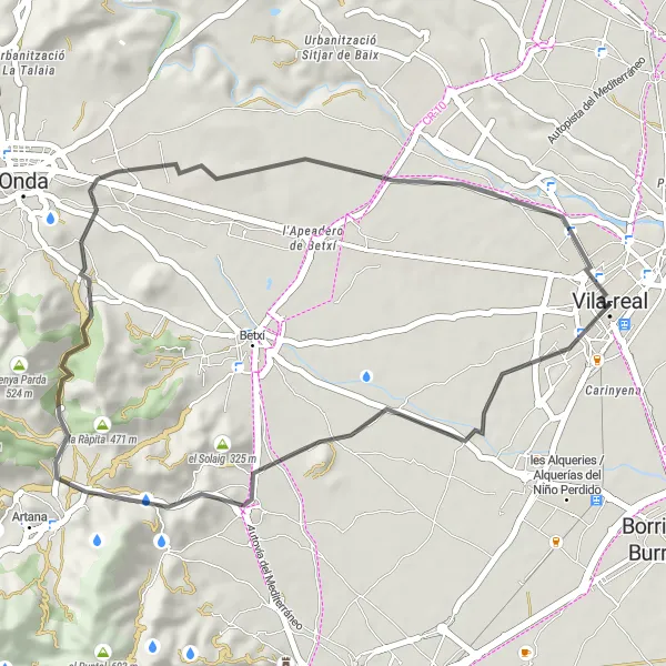
Discover the charming countryside near Vila-real on this exciting gravel route.
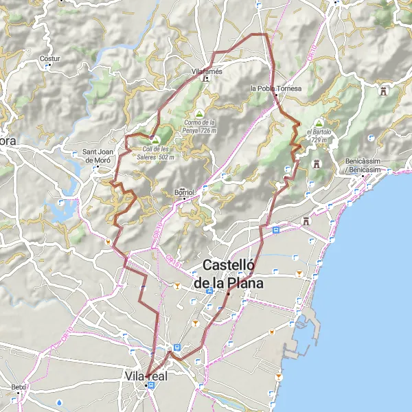
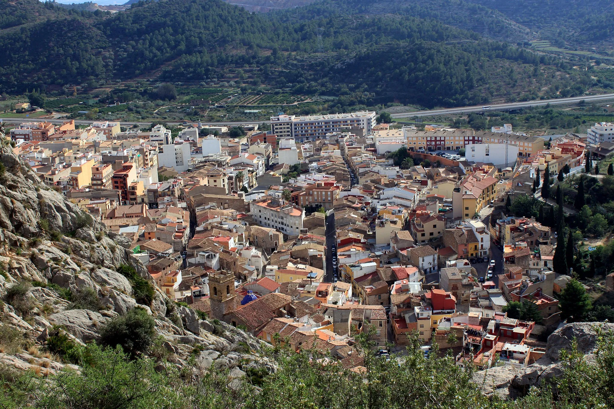
Embark on a 71km gravel adventure with 1079m ascent, passing through picturesque locations such as Villarreal, l'Abeller, Vilafamés, la Pobla Tornesa, Coll de la Mola, Castelló de la Plana, and the ancient remains of a medieval wall. Enjoy the rugged terrain, stunning views, and cultural landmarks along the way.
![Miniaturní mapa "Náročný silniční okruh kolem Vila-real" inspirace pro cyklisty v oblasti Comunitat Valenciana, Spain. Vytvořeno pomocí plánovače tras Tarmacs.app](https://images.tarmacs.app/cycling-routes/routemaps/600/spain/comunitat-valenciana/vila-real/road/1844.webp)
Náročná trasa s převýšením 2668 metrů
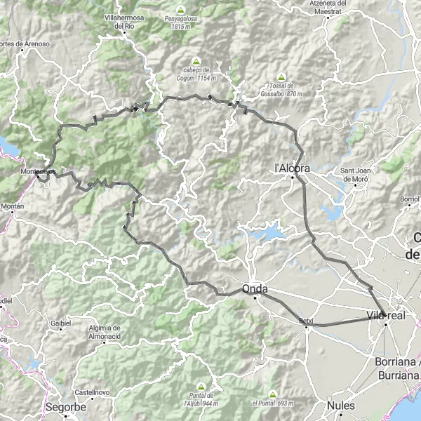
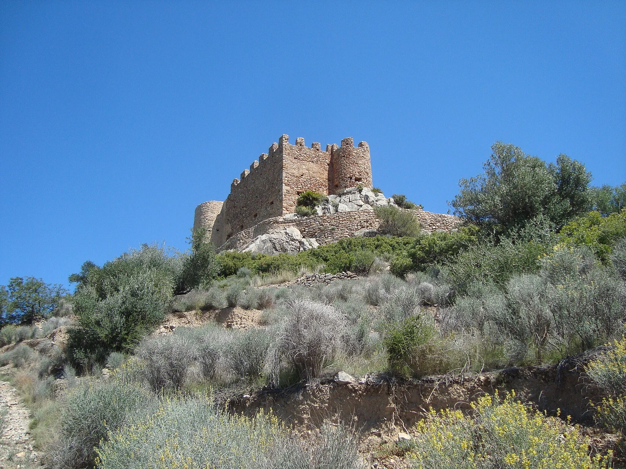
Tato 136 km dlouhá trasa přináší adrenalinový zážitek s výstupy na Onda, Ayódar a Castillo de Villamalefa. Nabízí pestrou paletu terénu a historických památek v regionu.
![Miniaturní mapa "Road Cycling Route Nules - la Vall d'Uixó" inspirace pro cyklisty v oblasti Comunitat Valenciana, Spain. Vytvořeno pomocí plánovače tras Tarmacs.app](https://images.tarmacs.app/cycling-routes/routemaps/600/spain/comunitat-valenciana/vila-real/road/1819.webp)
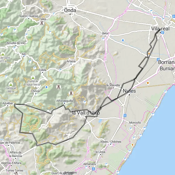
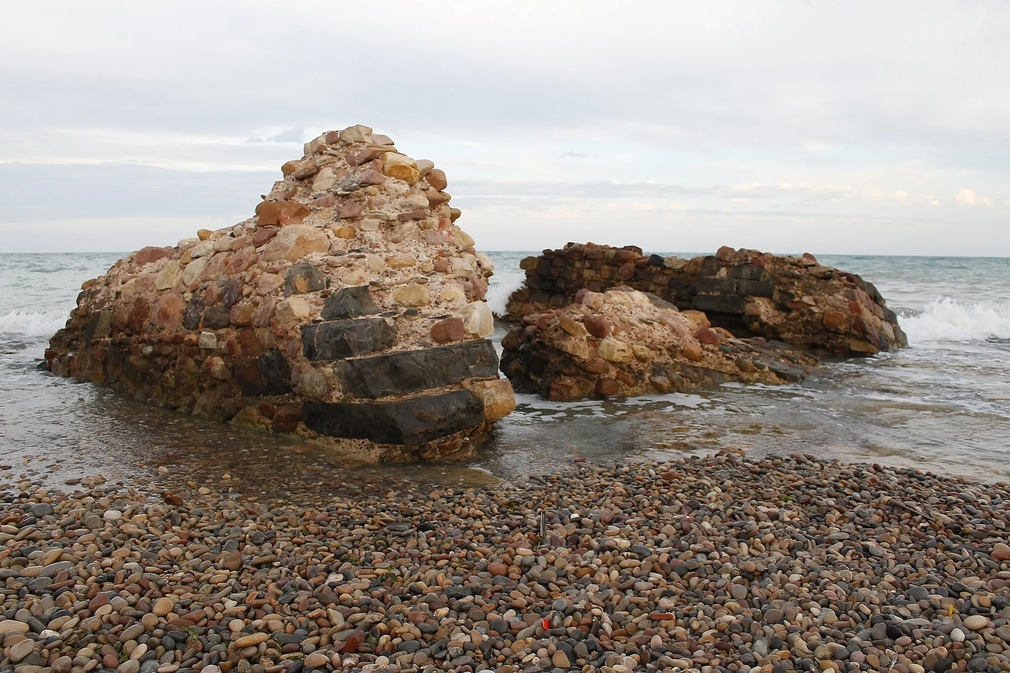
Enjoy a scenic 75km road cycling route through the beautiful landscapes of Nules and la Vall d'Uixó.
Experience the charm of the coastal town of Nules and admire its traditional architecture and cultural heritage. Cycle through picturesque countryside and lush valleys, and enjoy the tranquility of the natural surroundings. Discover the beauty of la Vall d'Uixó and its unique attractions, including stunning rock formations and historic landmarks.
![Miniaturní mapa "Road Cycling Tour Ribesalbes - l'Abeller" inspirace pro cyklisty v oblasti Comunitat Valenciana, Spain. Vytvořeno pomocí plánovače tras Tarmacs.app](https://images.tarmacs.app/cycling-routes/routemaps/600/spain/comunitat-valenciana/vila-real/road/1820.webp)
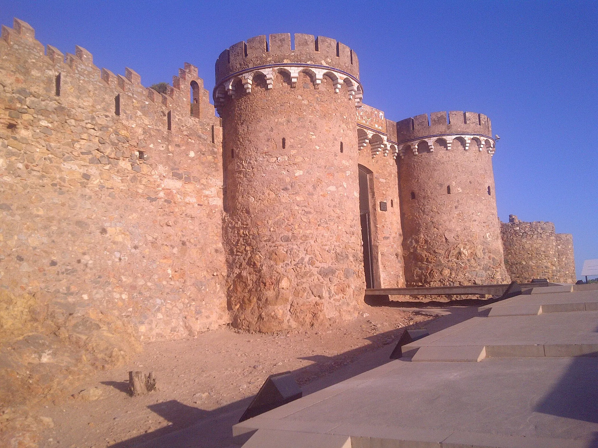
Embark on a scenic 71km road cycling tour through the picturesque landscapes of Ribesalbes and l'Abeller.
Cycle through charming villages and lush countryside, and enjoy the serene atmosphere of the natural surroundings. Admire the beauty of the historic landmarks and cultural heritage along the way. Explore the medieval ruins of l'Abeller and discover the fascinating history of the region.
![Miniaturní mapa "Silniční okruh kolem Vila-real" inspirace pro cyklisty v oblasti Comunitat Valenciana, Spain. Vytvořeno pomocí plánovače tras Tarmacs.app](https://images.tarmacs.app/cycling-routes/routemaps/600/spain/comunitat-valenciana/vila-real/road/252651.webp)
Lehká trasa s převýšením 264 metrů
Tato 39 km dlouhá silniční trasa vede kolem Torre Motxa, Collao d'Artana a Monteblanco. Nabízí příjemnou cyklojízdu s krásnými výhledy a možností odpočinku.
Cyklotrasy v okolí:
![Obrázek Almassora](https://images.tarmacs.app/cycling-routes/covers/spain/comunitat-valenciana/almassora-4.webp)
![Obrázek Castelló de la Plana](https://images.tarmacs.app/cycling-routes/covers/spain/comunitat-valenciana/castello-de-la-plana-3.webp)
![Obrázek Betxí](https://images.tarmacs.app/cycling-routes/covers/spain/comunitat-valenciana/betxi-5.webp)
![Obrázek Nules](https://images.tarmacs.app/cycling-routes/covers/spain/comunitat-valenciana/nules-5.webp)
![Obrázek Borriol](https://images.tarmacs.app/cycling-routes/covers/spain/comunitat-valenciana/borriol-4.webp)
![Obrázek Onda](https://images.tarmacs.app/cycling-routes/covers/spain/comunitat-valenciana/onda-3.webp)
![Obrázek Artana](https://images.tarmacs.app/cycling-routes/covers/spain/comunitat-valenciana/artana-2.webp)
![Obrázek Moncofa](https://images.tarmacs.app/cycling-routes/covers/spain/comunitat-valenciana/moncofa-4.webp)
![Obrázek l'Alcora](https://images.tarmacs.app/cycling-routes/covers/spain/comunitat-valenciana/l-alcora-5.webp)
Okolní oblasti:
![Obrázek Baskicko](https://images.tarmacs.app/cycling-routes/covers/spain/pais-vasco/lekeitio-3.webp)
![Obrázek Navarrské autonomní společenství](https://images.tarmacs.app/cycling-routes/covers/spain/comunidad-foral-de-navarra/san-adrian-4.webp)
![Obrázek Aragón](https://images.tarmacs.app/cycling-routes/covers/spain/aragon/alagon-2.webp)
![Obrázek Comunidad de Madrid](https://images.tarmacs.app/cycling-routes/covers/spain/comunidad-de-madrid/arroyomolinos-1.webp)
![Obrázek Castilla y León](https://images.tarmacs.app/cycling-routes/covers/spain/castilla-y-leon/burgos-2.webp)
![Obrázek Castilla-La Mancha](https://images.tarmacs.app/cycling-routes/covers/spain/castilla-la-mancha/villarta-de-san-juan-5.webp)
![Obrázek Katalánsko](https://images.tarmacs.app/cycling-routes/covers/spain/cataluna/gracia-5.webp)
![Obrázek Baleárské ostrovy](https://images.tarmacs.app/cycling-routes/covers/spain/illes-balears/campos-1.webp)
![Obrázek Andalusie](https://images.tarmacs.app/cycling-routes/covers/spain/andalucia/castillo-de-locubin-5.webp)
![Obrázek Región de Murcia](https://images.tarmacs.app/cycling-routes/covers/spain/region-de-murcia/beniel-4.webp)