Gravel tour near Weggis
Cyklistická trasa pro gravel začínající v Weggis
Embark on a 72km gravel adventure with diverse landscapes and cultural highlights
Mapa

Discover the beauty of Zentralschweiz on this 72km route with 2848m of ascent. Enjoy highlights like the Morgarten historic site, Ägerisee lake, and the scenic Rigi Hochflue peak.
gravel
72 km
2848 m
Náročné
Profil trasy
Zajímavosti na trase
0 km
0 km
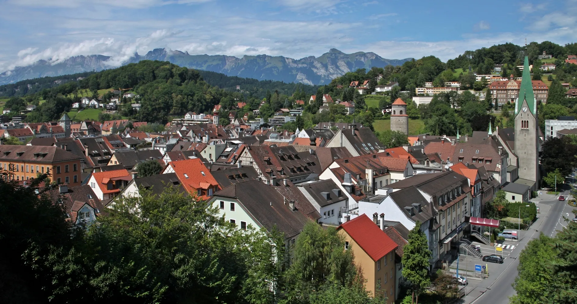
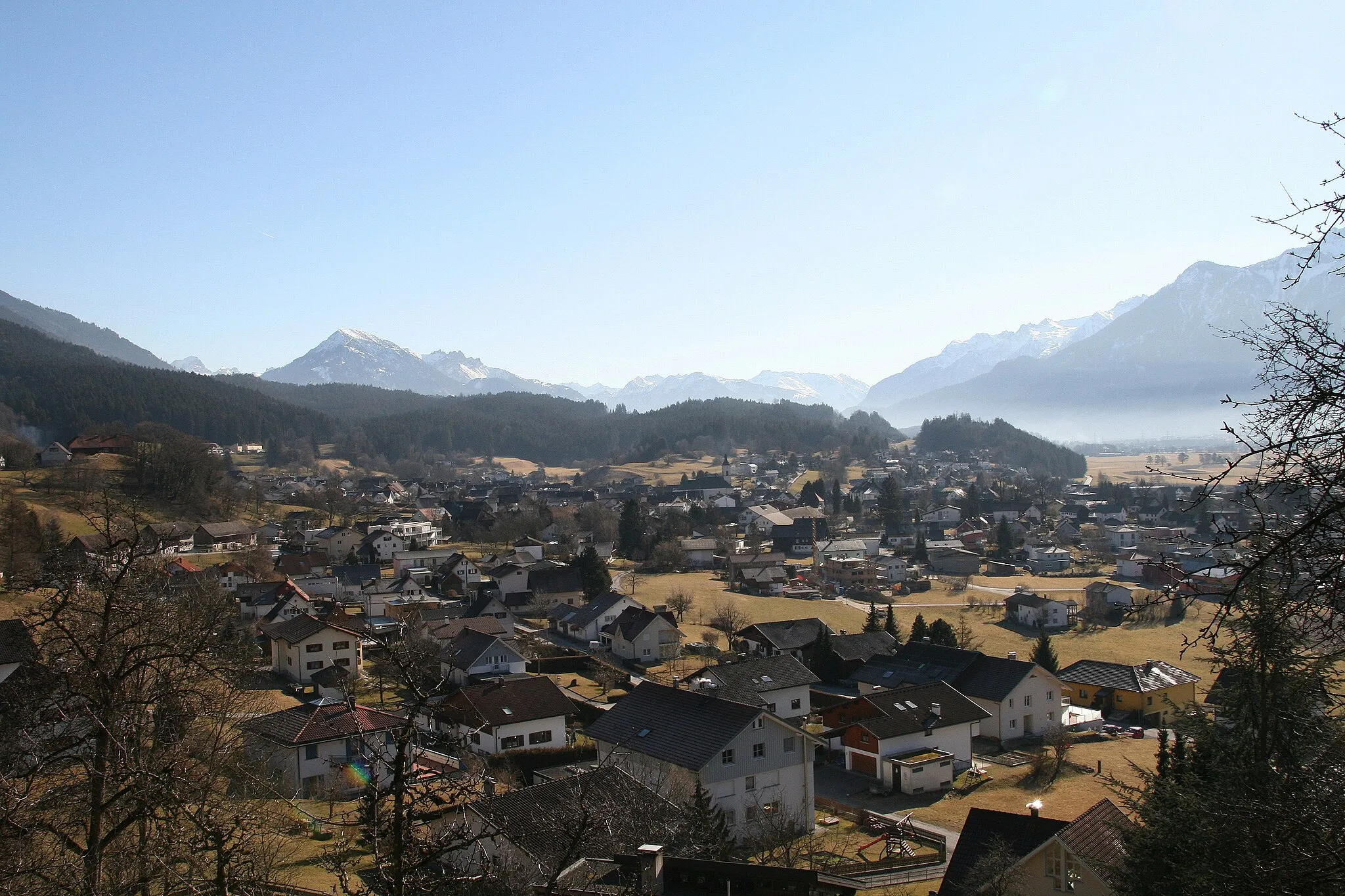
Start: Weggis Village centerWeggis: Klidné trasy kolem jezera a výhled na hory
Weggis je malebná oblast v oblasti Zentralschweiz s výhledem na jezero a hory. Cyklisté zde mohou užívat klidné trasy kolem jezera a objevovat okolní vesnice. Nedaleko se nachází stoupání na Rigi, které je známé mezi cyklisty.0 km
0 km
WeggisVesniceStart your journey in the charming town of Weggis with its stunning lakeside views.
9 km
9 km
Rigi1797 mVrcholConquer the challenging Rigi mountain and savor the panoramic vistas from the top.
15 km
15 km
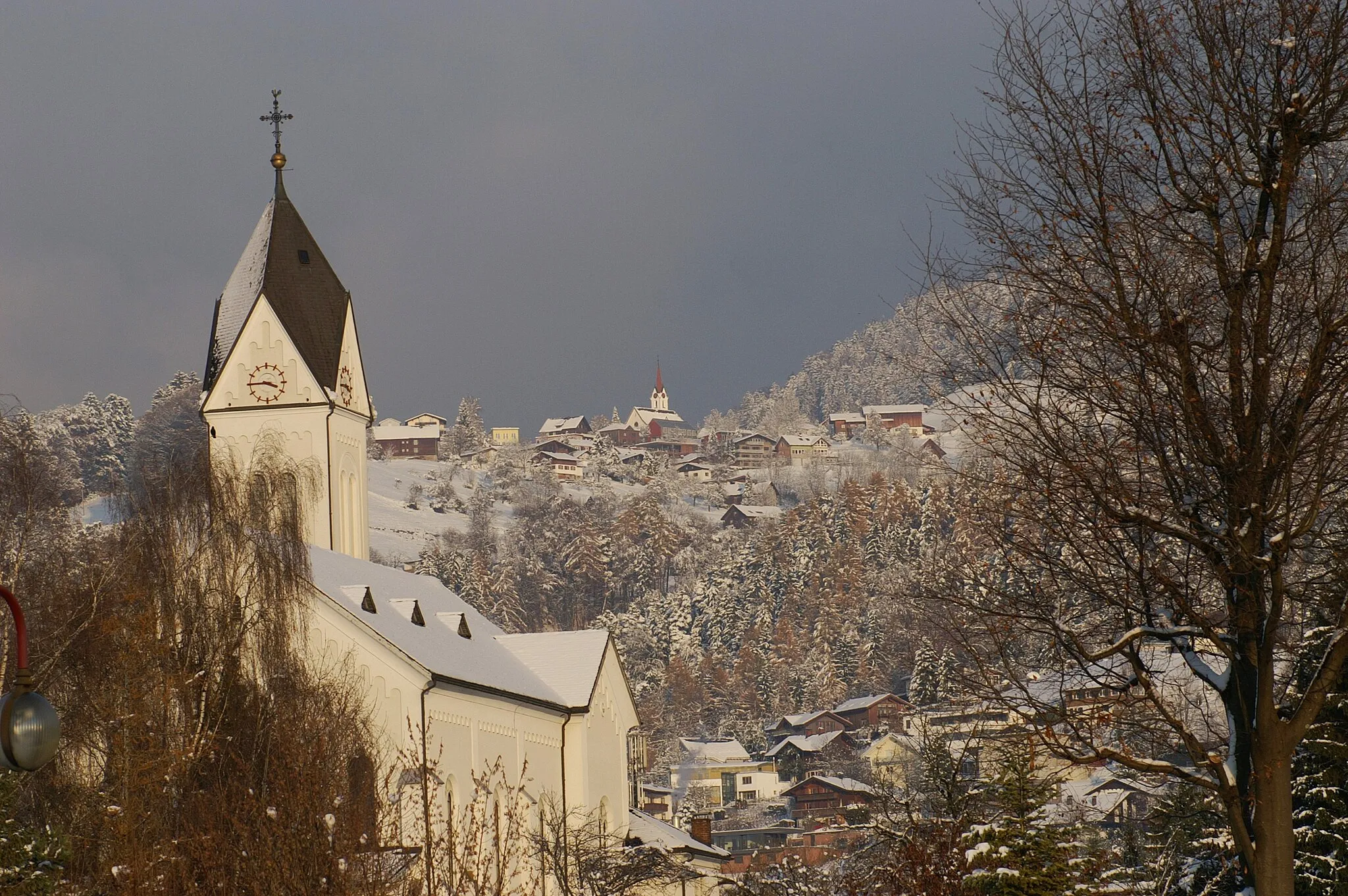
OberarthPod-předměstíPass through the quaint village of Oberarth, known for its traditional Swiss architecture.
17 km
17 km
Aussichtspunkt HerzigVýhledTake in the breathtaking views from the Aussichtspunkt Herzig viewpoint along the way.
33 km
33 km
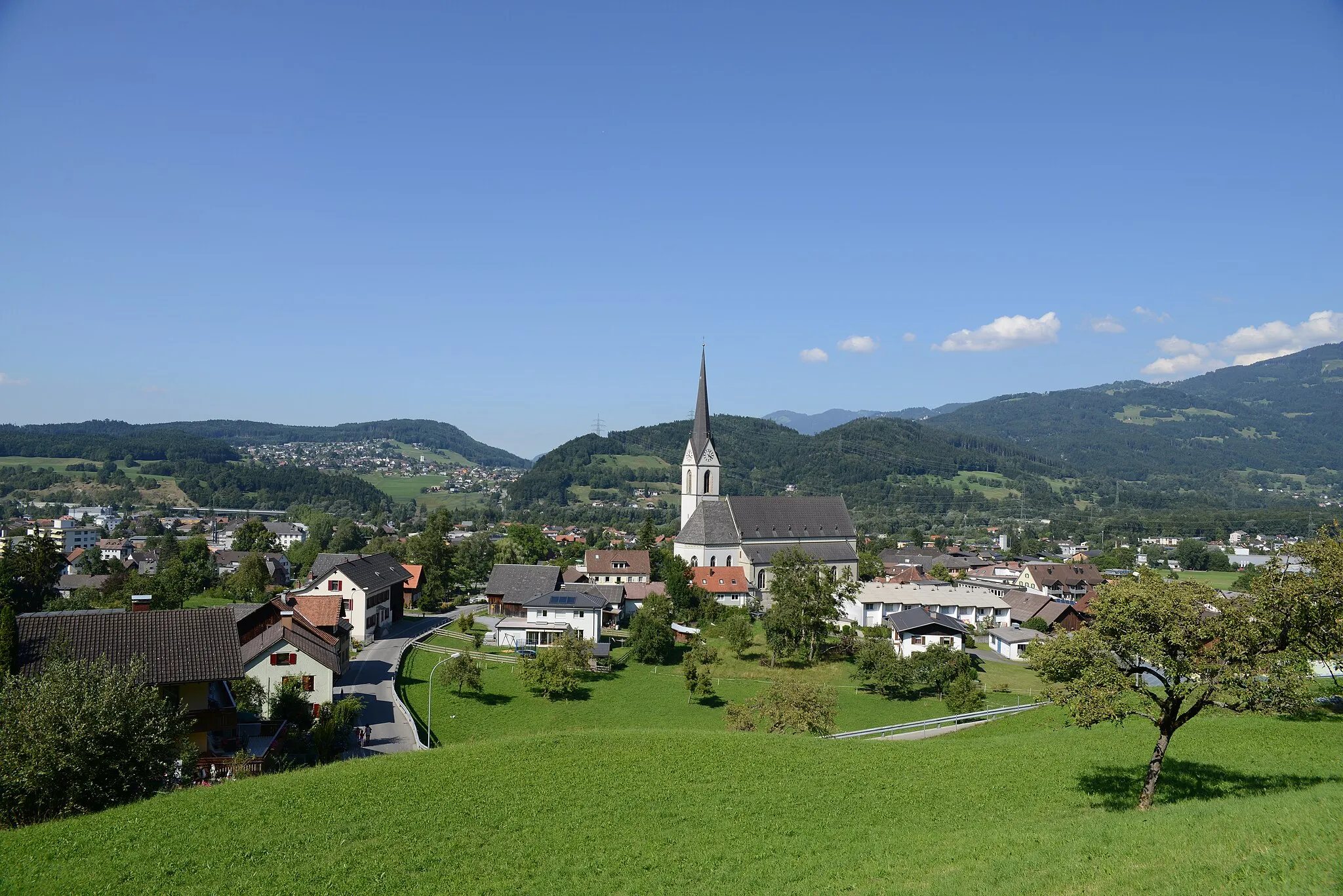
ÄgeriseeJezeroCycle alongside the picturesque Ägerisee lake, perfect for a peaceful break.
36 km
36 km
MorgartenVesniceExplore the historic site of Morgarten, a significant location in Swiss history.
44 km
44 km
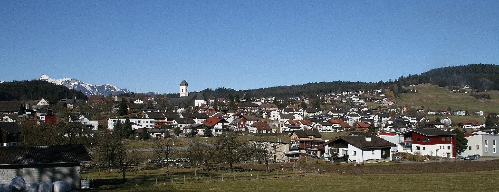
SteinenVesniceEnjoy the scenic beauty of Steinen village with its traditional Swiss charm.
54 km
54 km
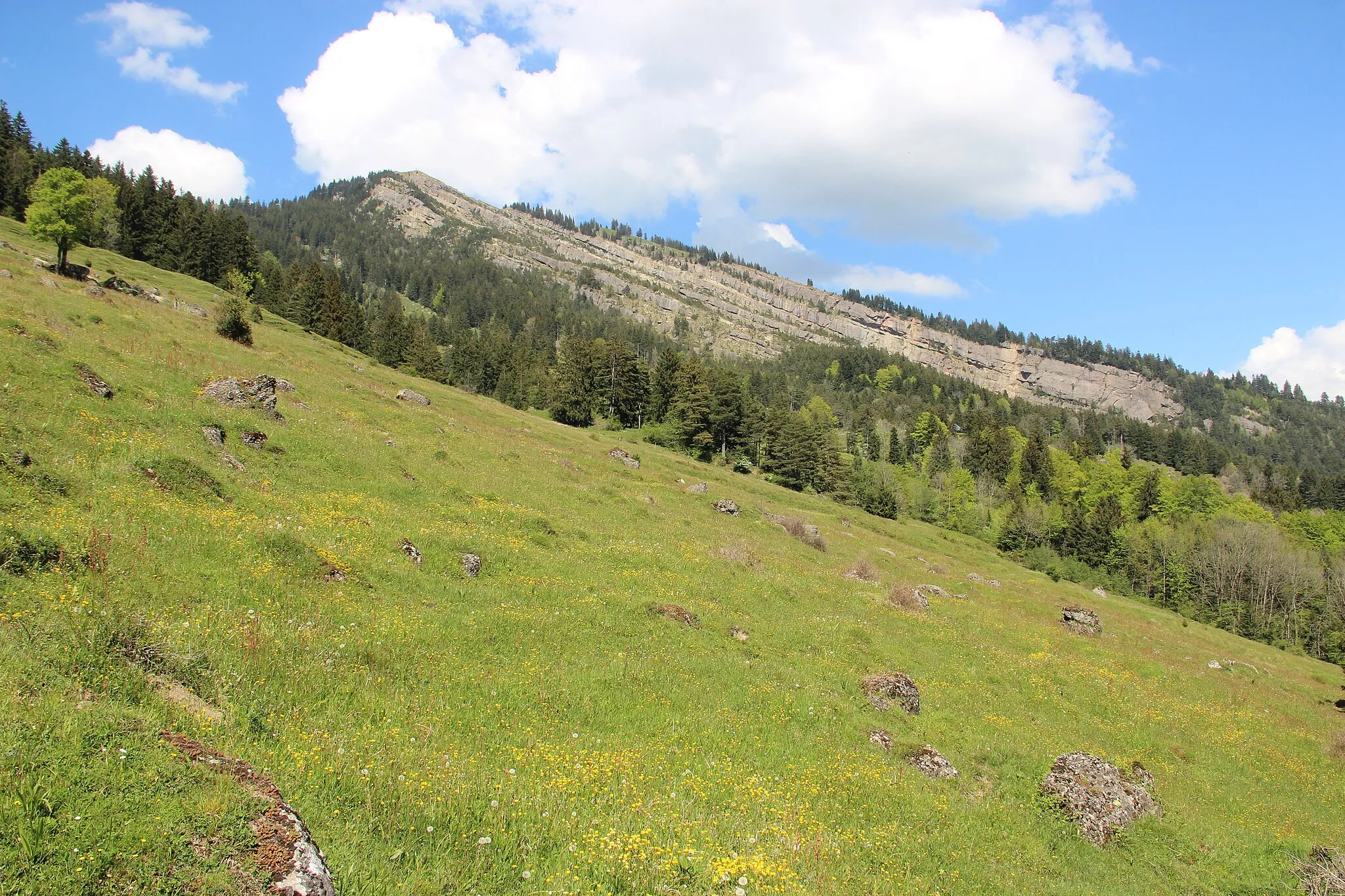
Rigi Hochflue1698 mVrcholClimb the impressive Rigi Hochflue peak and admire the surrounding landscapes.
62 km
62 km
Vitznauerstock/Gersauerstock1451 mVrcholCatch a glimpse of the Vitznauerstock and Gersauerstock mountains on your cycling journey.
66 km
66 km
VitznauVesniceEnd your ride in Vitznau, a picturesque town on the shores of Lake Lucerne.
72 km
72 km
Cíl: Weggis Village centerWeggis: Klidné trasy kolem jezera a výhled na hory
Cyklistické trasy z Weggis:
Cyklotrasy v okolí: