Road Merlischachen - Michaelskreuz Adventure
Cyklistická trasa pro road začínající v Weggis
Epic road cycling journey with panoramic vistas and historic sites
Mapa
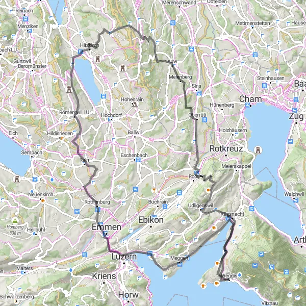
Embark on an epic road cycling adventure from Merlischachen to Michaelskreuz, passing through picturesque landscapes and historic landmarks. Highlights include the scenic Aussichtsplatform and the historic town of Rothenburg. With a total ascent of 1515m over 89km, this route offers a challenging yet rewarding experience for cyclists seeking adventure and exploration.
road
89 km
1515 m
Náročné
Profil trasy
Zajímavosti na trase
0 km
0 km
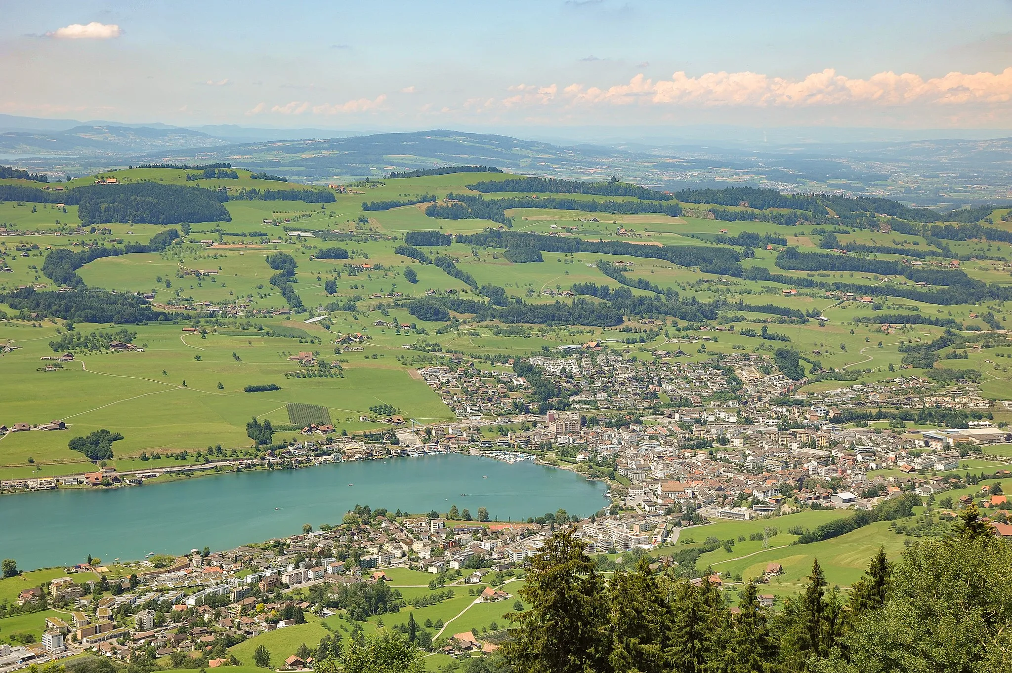
Start: Weggis Village centerWeggis: Klidné trasy kolem jezera a výhled na hory
Weggis je malebná oblast v oblasti Zentralschweiz s výhledem na jezero a hory. Cyklisté zde mohou užívat klidné trasy kolem jezera a objevovat okolní vesnice. Nedaleko se nachází stoupání na Rigi, které je známé mezi cyklisty.10 km
10 km
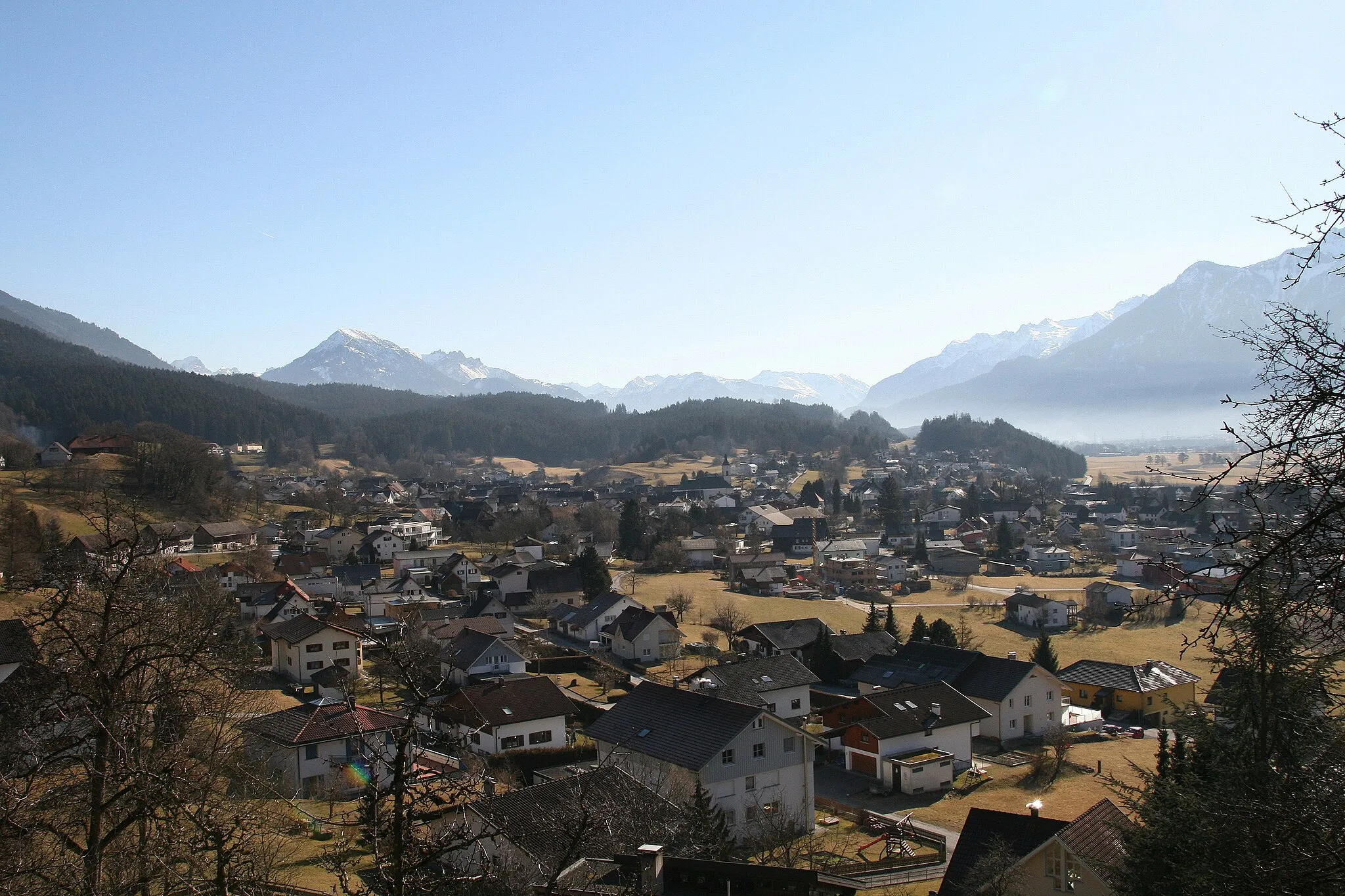
MerlischachenVesniceStart your journey in Merlischachen, a picturesque village known for its historic buildings and scenic surroundings.
17 km
17 km
AussichtsplatformVýhledEnjoy panoramic views from the Aussichtsplatform, a scenic viewpoint overlooking the surrounding mountains and valleys.
25 km
25 km
Start RiffigweiherVýhledBegin your journey at the picturesque Riffigweiher, a tranquil lake surrounded by lush forests and rolling hills.
26 km
26 km
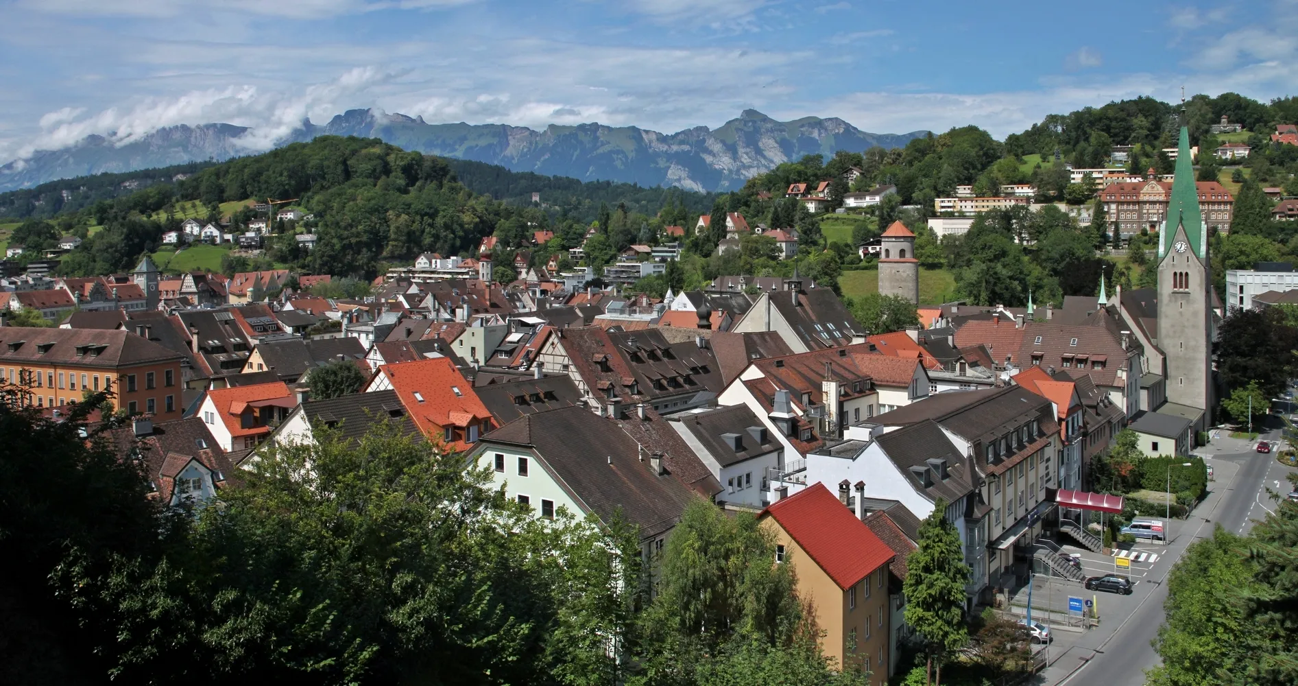
RothenburgVesniceExplore the historic town of Rothenburg, known for its well-preserved medieval architecture and charming streets.
45 km
45 km
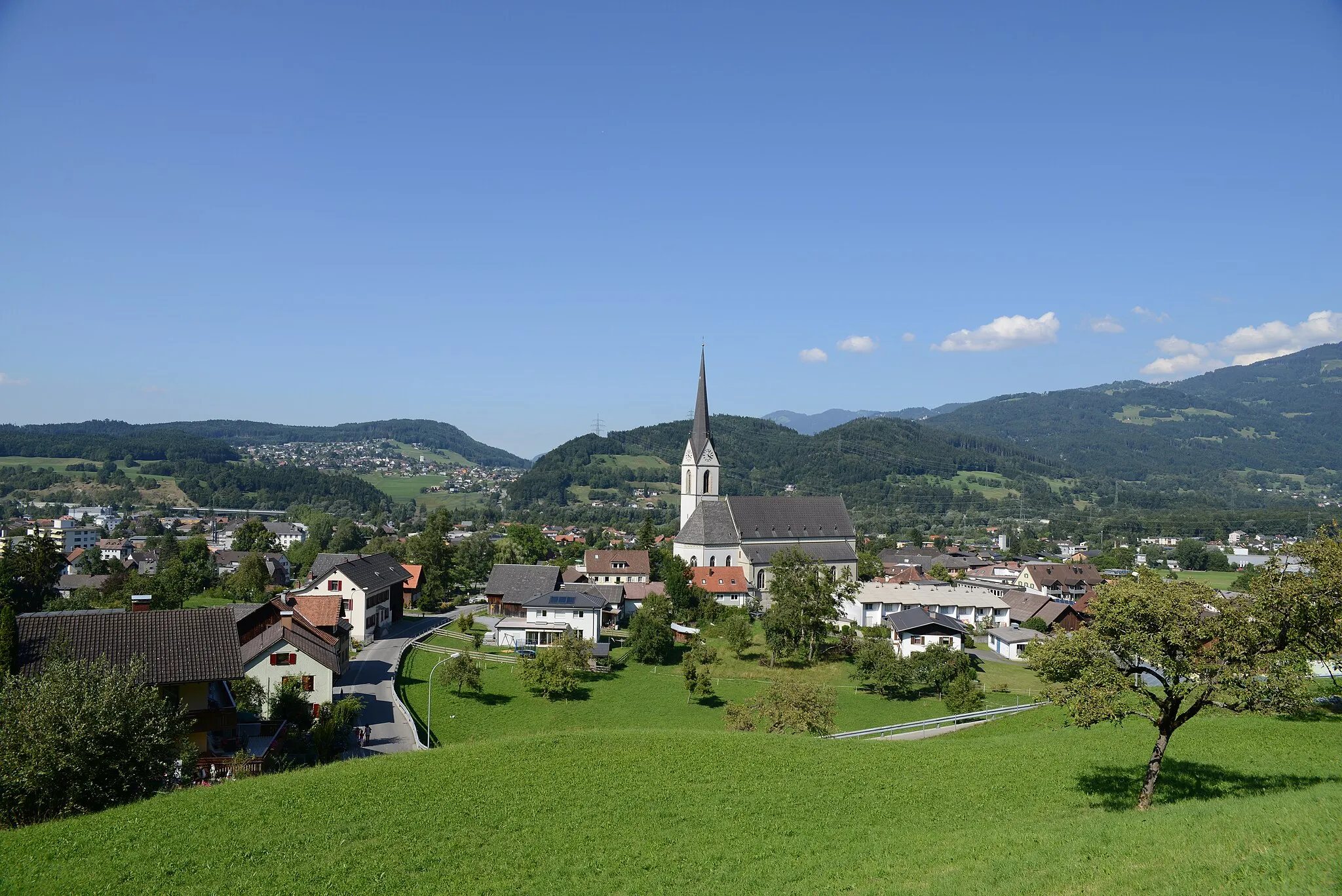
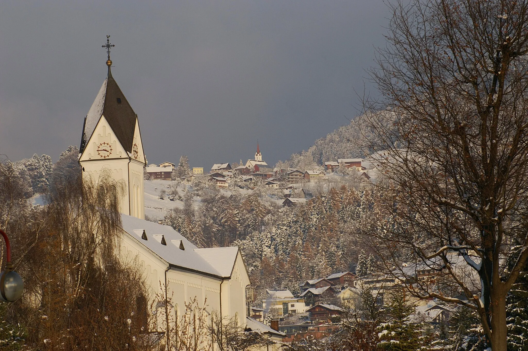
HitzkirchVesniceCycle through Hitzkirch, a picturesque village with traditional Swiss chalets and stunning mountain views.
60 km
60 km
MeienbergVesnicePass through Meienberg, a scenic hamlet with beautiful views of the surrounding countryside and historic landmarks.
74 km
74 km
Michaelskreuz793 mPrůsmykReach the summit of Michaelskreuz, a historic site with breathtaking views of the Swiss Alps and the surrounding landscape.
85 km
85 km
GreppenVesniceArrive in Greppen, a charming lakeside village with a rich history and stunning views of the surrounding mountains.
89 km
89 km
Cíl: Weggis Village centerWeggis: Klidné trasy kolem jezera a výhled na hory
Cyklistické trasy z Weggis:
Cyklotrasy v okolí: