Entspannte Gravel-Tour nach Rocher du Cornillon
Eine gravel-Radroute, die von Gieres aus startet.
Genießen Sie eine entspannte Fahrt durch malerische Landschaften und charmante Dörfer
Karte
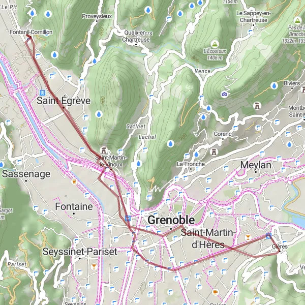
Diese entspannte Gravel-Tour führt Sie zum Rocher du Cornillon und bietet eine angenehme Fahrt durch Saint-Égrève und Polygone Scientifique. Mit einer Streckenlänge von 34 km und einem Aufstieg von 138 m ist diese Route ideal für Genussradler und Naturfreunde.
gravel
34 km
138 m
Schwierig
Streckenprofil
Höhepunkte auf der Strecke
0 km
0 km
Start: Gières Village centerGières: Vielfältige Radwege und Landschaften
Gières in der Region Rhône-Alpes bietet Radfahrern eine Vielzahl von Straßen- und Schotterwegen, die durch malerische Landschaften führen. Die Gegend ist ideal für Radtouren aller Schwierigkeitsgrade.0 km
0 km
Molard427 mGipfelDer Molard ist ein idealer Startpunkt für diese entspannte Gravel-Tour.
3 km
3 km
Saint-Martin-d'HèresStadtSaint-Martin-d'Hères ist bekannt für seine charmante Atmosphäre und historischen Gebäude.
12 km
12 km
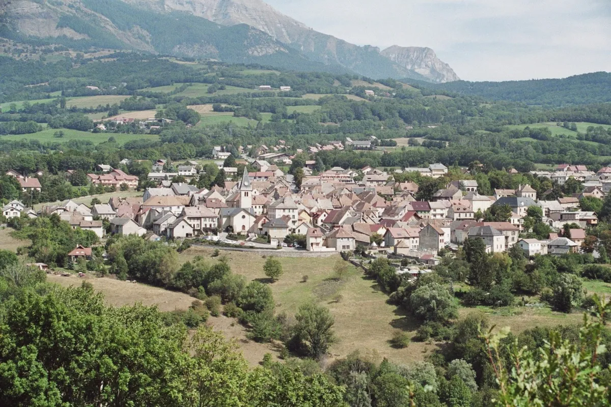
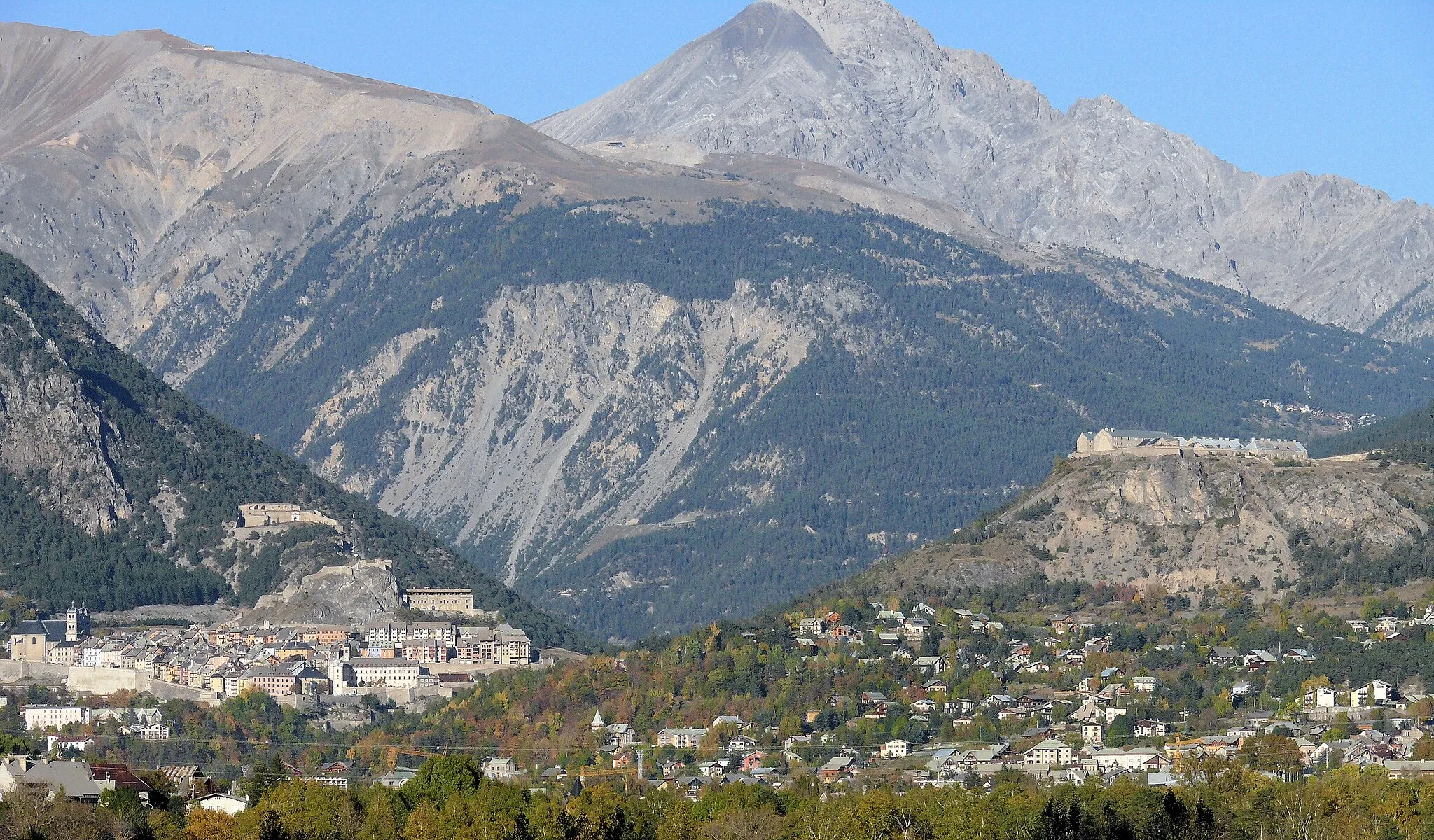
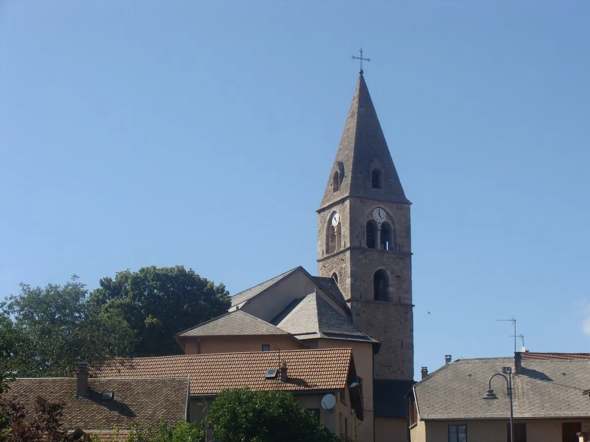
Saint-ÉgrèveStadtEntdecken Sie das malerische Saint-Égrève auf Ihrer Fahrt.
15 km
15 km
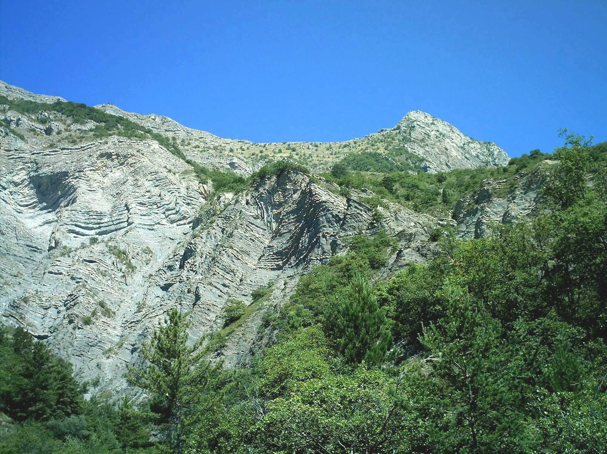
Rocher du Cornillon315 mGipfelDer Rocher du Cornillon bietet einen spektakulären Aussichtspunkt für Naturbegeisterte.
23 km
23 km
Polygone ScientifiqueVorortDas Polygone Scientifique begeistert mit moderner Architektur und grünen Oasen.
28 km
28 km
BelvédaireAussichtspunktDas Belvédère bietet einen atemberaubenden Blick über die Landschaft.
34 km
34 km
Ziel: Gières Village centerGières: Vielfältige Radwege und Landschaften
Radwege von Gieres:
Entdecken Sie das Grésivaudan-Tal Gravel-Tour durch Séchilienne und Le Grand Serre Rundfahrt zu den Col des Deux und Montagne de Grand Rochefort Herausfordernde Höhen und Panoramablicke Rundfahrt von Gières nach Col de la Coche und Molard Ultimatives Bergabenteuer im Chartreuse-Massiv Entspannte Gravel-Tour nach Rocher du Cornillon Bergabenteuer im Grand Rochefort Straßenrundtour von Gières nach Seyssins Gravel-Rundtour von Gières nach Sassenage
In der Nähe befinden sich Fahrradrouten: