Eldorado für Bergfahrer und Tourenrennen
Fahrradrouten rund um Briancon
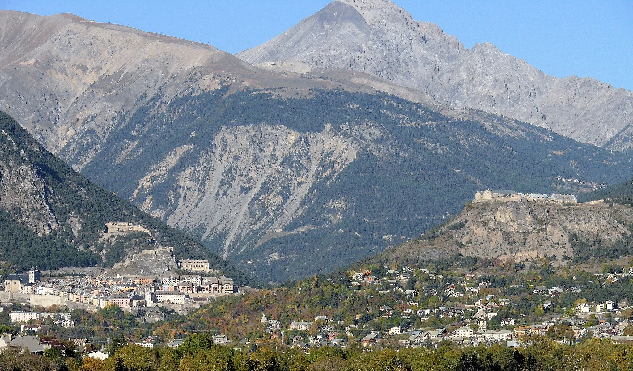
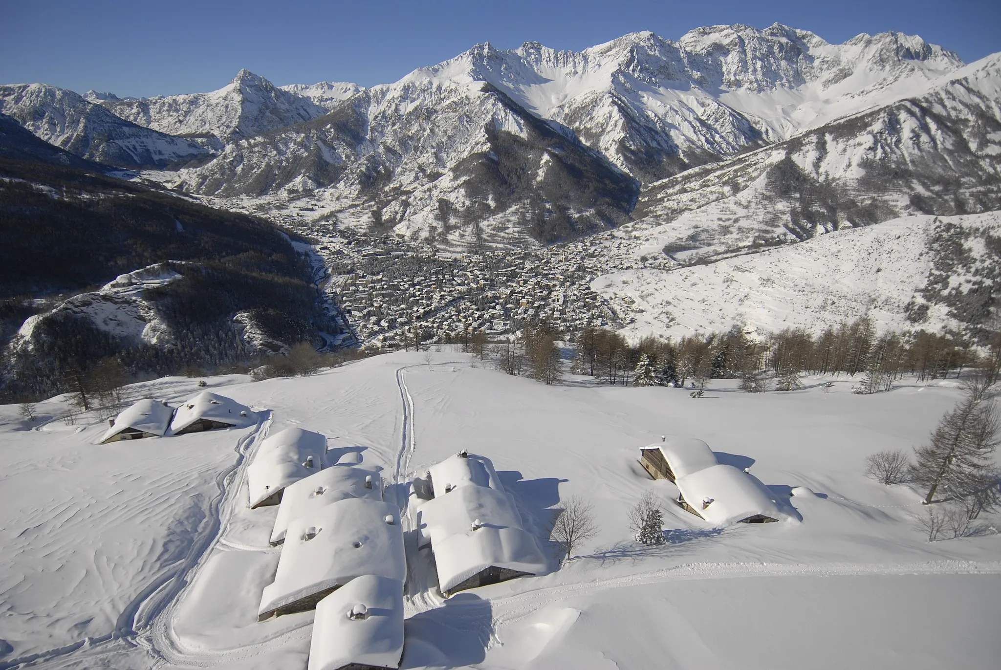
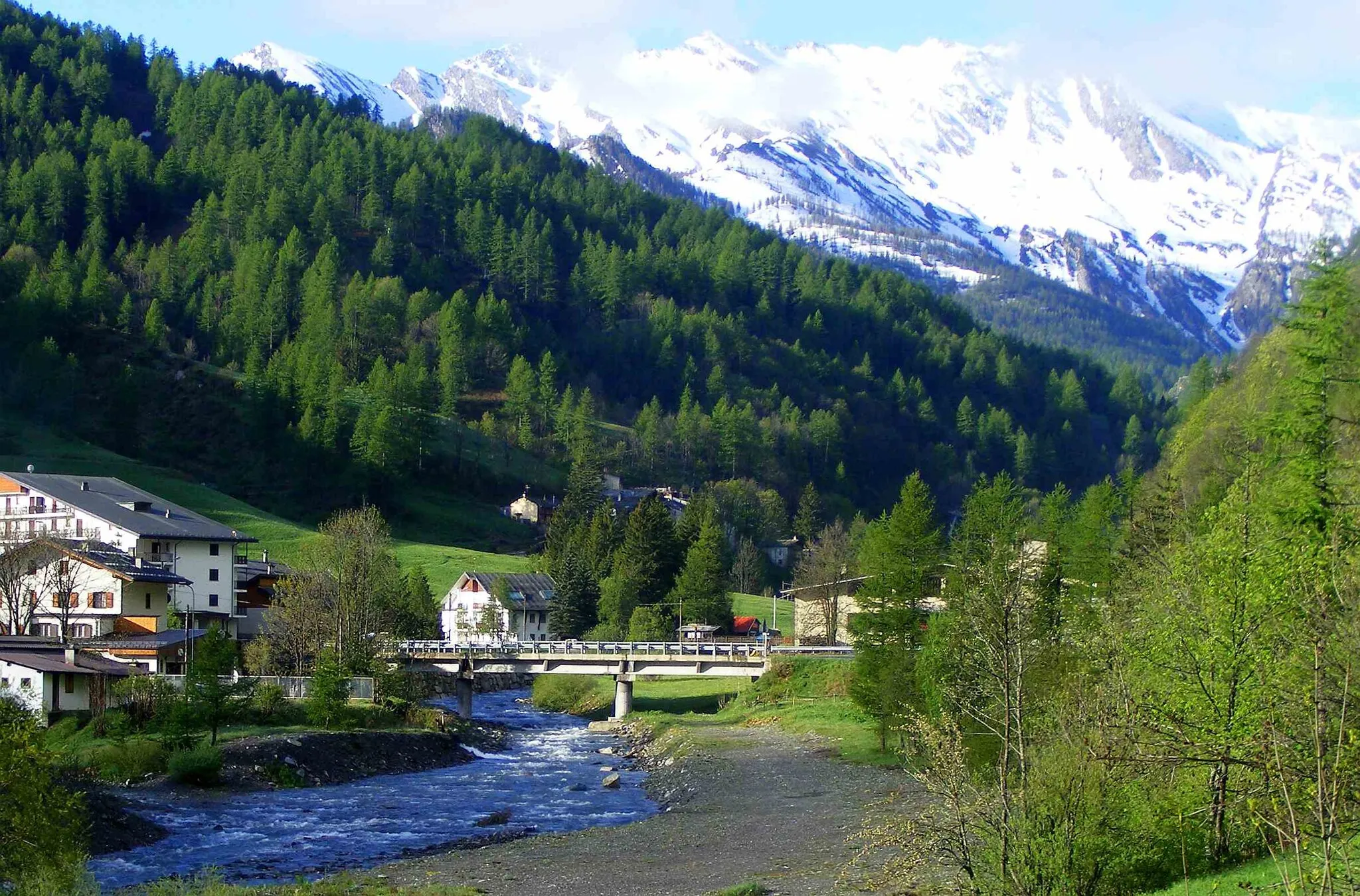
Briançon ist eine Stadt in den französischen Alpen und ein Paradies für Bergradfahrer. Die Gegend bietet einige der bekanntesten Pässe der Tour de France, wie den Col du Galibier und den Col d'Izoard, die passionierte Radfahrer herausfordern.
Aufregende 79 km durch atemberaubende Natur
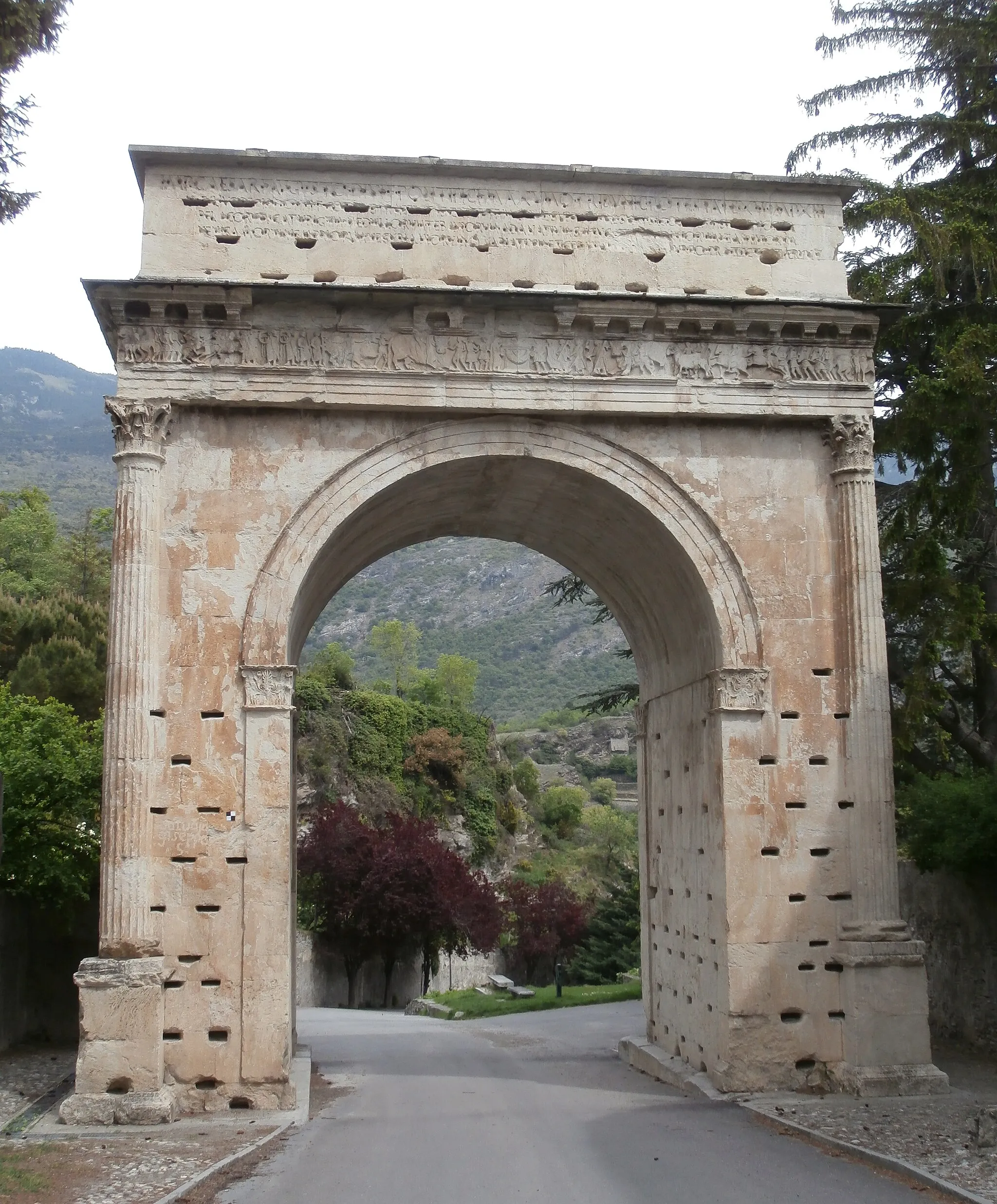
Diese 79 km lange Gravel-Tour mit 2473 Höhenmetern führt von Briançon nach Cesana Torinese. Unterwegs passieren Sie Highlights wie Fort du Randouillet und Roche Mayor. Die Route bietet eine gute Mischung aus Herausforderungen und beeindruckenden Landschaften.
Erkunden Sie die unbefestigte Straße zum Fort des Salettes
Die 88 km lange Strecke führt über 2644 m Höhenmeter durch beeindruckende Landschaften und historische Orte. Besuchen Sie das Fort des Salettes und erleben Sie die malerische Natur entlang der Strecke.
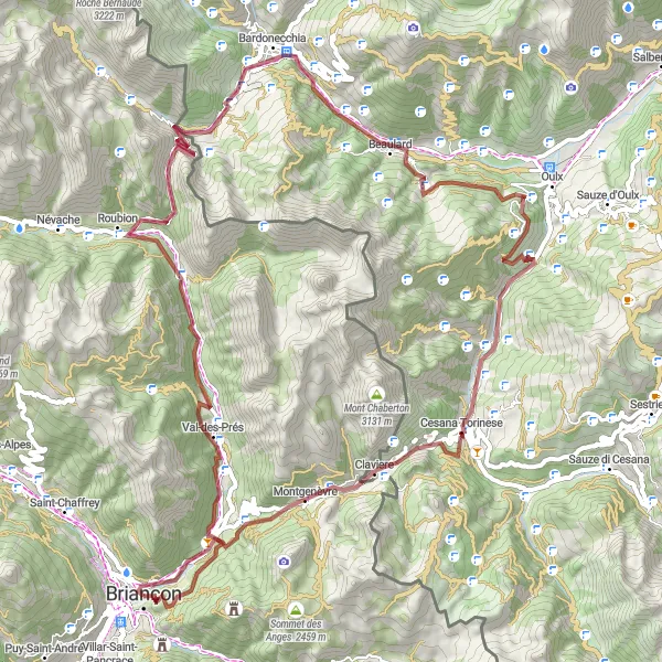
Eine abenteuerliche 102 km lange Route durch die Natur
Diese Gravel-Tour mit 3378 Höhenmetern bietet ein intensives Naturerlebnis von Briançon nach Montgenèvre. Sehenswürdigkeiten wie Fort des Salettes und Cesana Torinese machen diese Tour zu einem unvergesslichen Erlebnis für Abenteuerlustige und Naturliebhaber.
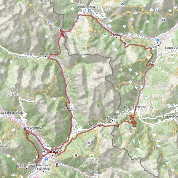
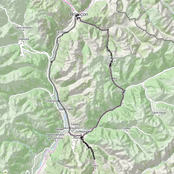
Bergstraße zum Col d'Izoard
Entdecken Sie die atemberaubende Bergstraße zum Col d'Izoard
Die Route führt über 115 km und 3560 m Höhenmeter durch malerische Landschaften und charmante Dörfer. Genießen Sie die spektakuläre Aussicht auf den Col d'Izoard und besuchen Sie das Fort du Randouillet sowie das Dorf Céillac.
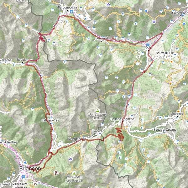
Eine packende 127 km lange Route voller Herausforderungen
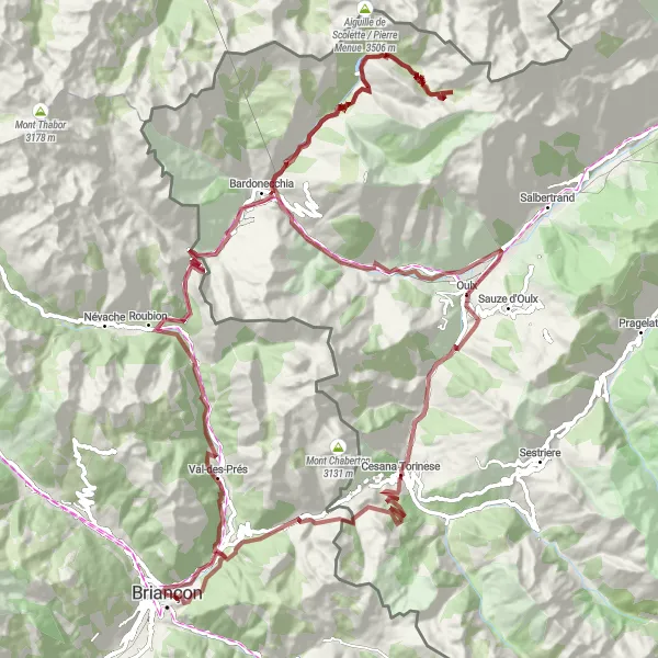
Mit 4047 Höhenmetern führt diese 127 km lange Gravel-Tour von Briançon nach Oulx. Highlights wie Col de l'Échelle und Punta Valfredda bieten spektakuläre Ausblicke und sorgen für unvergessliche Erlebnisse entlang der Strecke. Ein Muss für Gravel-Enthusiasten und Abenteuerliebhaber.
Gravel-Erkundung von Montgenèvre
Entdecken Sie die facettenreiche Landschaft rund um Montgenèvre
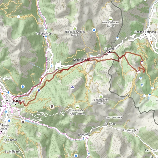
Die 36 km lange Strecke führt über 1559 m Höhenmeter und bietet spektakuläre Ausblicke auf die Umgebung. Besuchen Sie das Fort du Randouillet, den Col de Montgenèvre und die Punta Rascia während Ihrer abenteuerlichen Fahrt durch die Berge.
Gemütliche Radtour nach Puy-Saint-André
Entspannte Radtour zum malerischen Puy-Saint-André
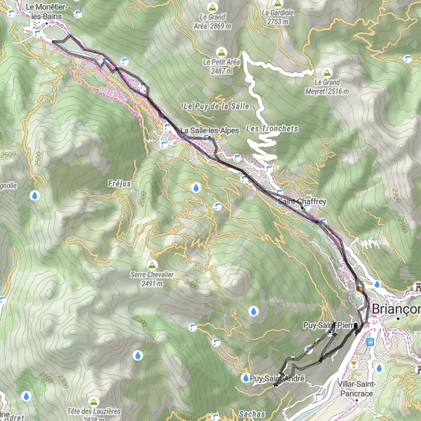
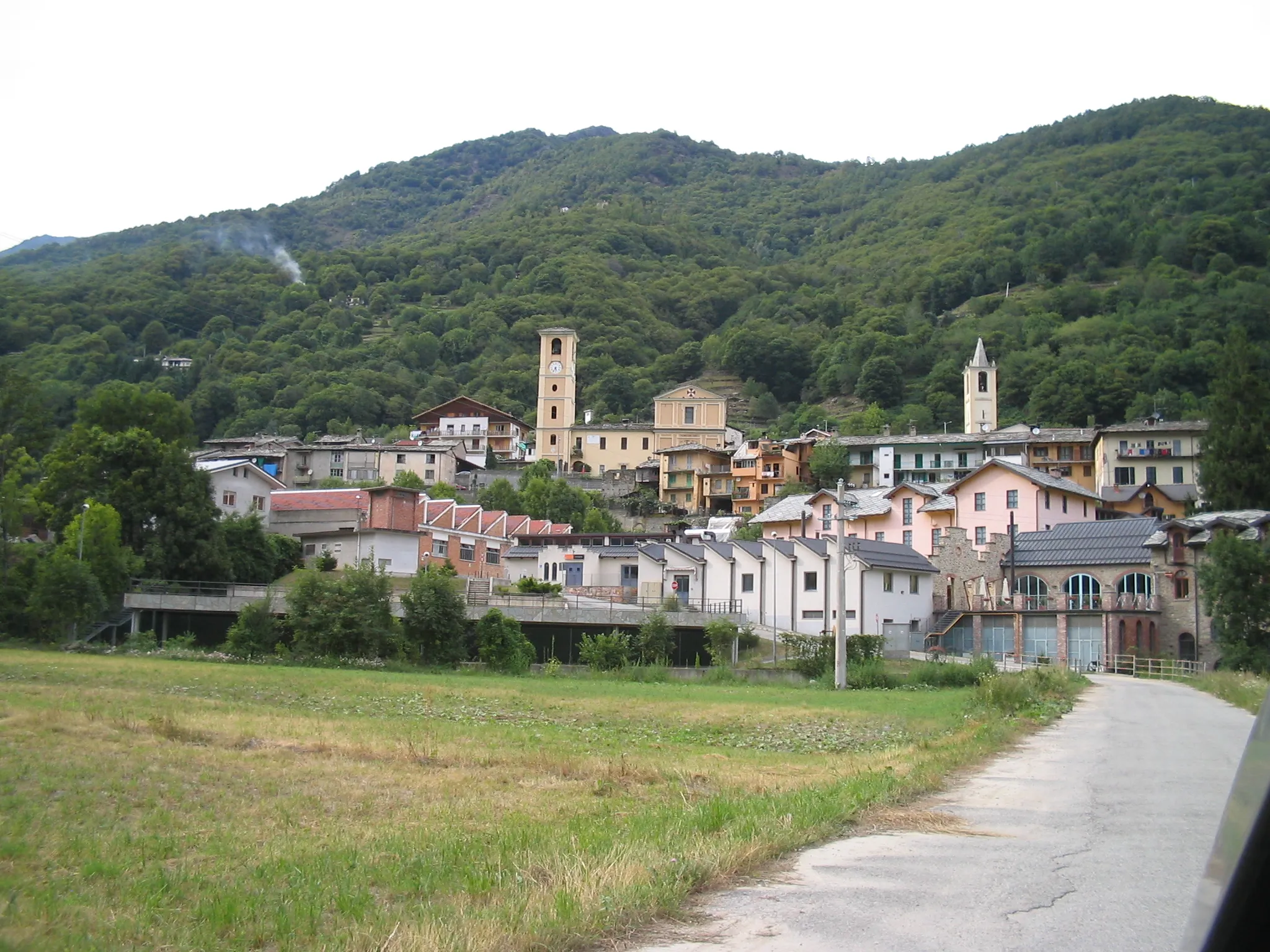
Die 41 km lange Strecke führt über 794 m Höhenmeter durch idyllische Landschaften und charmante Ortschaften. Erkunden Sie Saint-Chaffrey, La Salle-les-Alpes und Puy-Saint-André während Ihrer Fahrt durch die französischen Alpen.
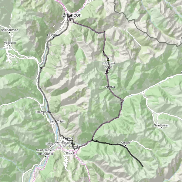
Bergstraße nach Les Chalps
Erklimmen Sie die Bergstraße zum Les Chalps
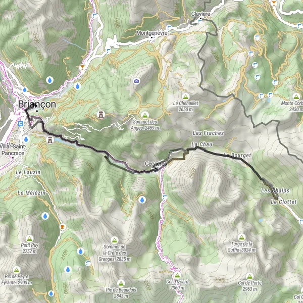
Die 38 km lange Strecke führt über 1135 m Höhenmeter durch bezaubernde Landschaften und traditionelle Dörfer. Entdecken Sie das Fort des Têtes und das malerische Dorf Cervières sowie die atemberaubende Aussicht auf Les Chalps.
Kleine Rundtour von Briançon nach Fort des Têtes
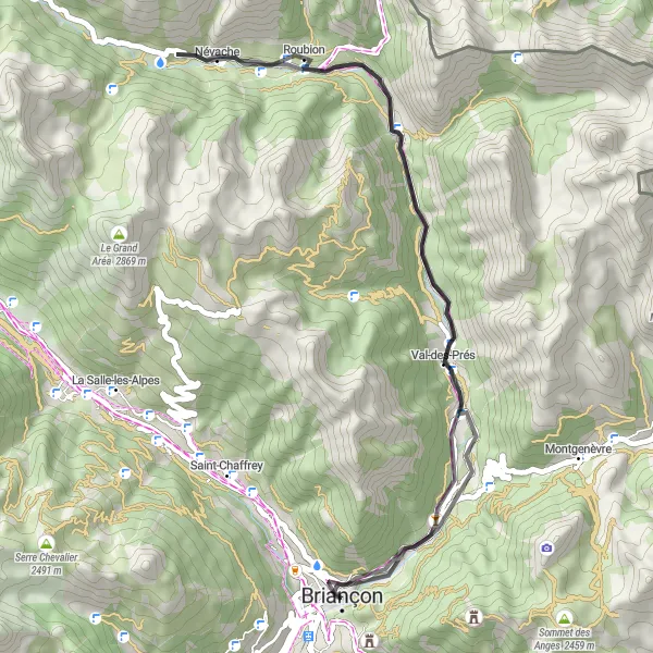
Entdecken Sie die Schönheit entlang dieser 44 km langen Strecke
Eine kurze, aber intensive Radtour mit 651 Höhenmetern durch die atemberaubende Natur der Region. Highlights wie Val-des-Prés und Fort des Têtes bieten einen Einblick in die vielfältige Landschaft und Kultur entlang der Strecke.
Eine atemberaubende Route mit dem Highlight Col d'Izoard
Diese 106 km lange Radtour mit insgesamt 3132 Höhenmetern bietet eine spektakuläre Aussicht auf den Col d'Izoard. Unterwegs passieren Sie das Fort du Randouillet und die Maison du Roy. Ein absolutes Muss für Radfahrer, die die Schönheit der Natur erleben wollen.
In der Nähe befinden sich Fahrradrouten:
Benachbarte Regionen: